The best walks and hikes around Baltmannsweiler
4.5
(13143)
59,056
hikers
54
hikes
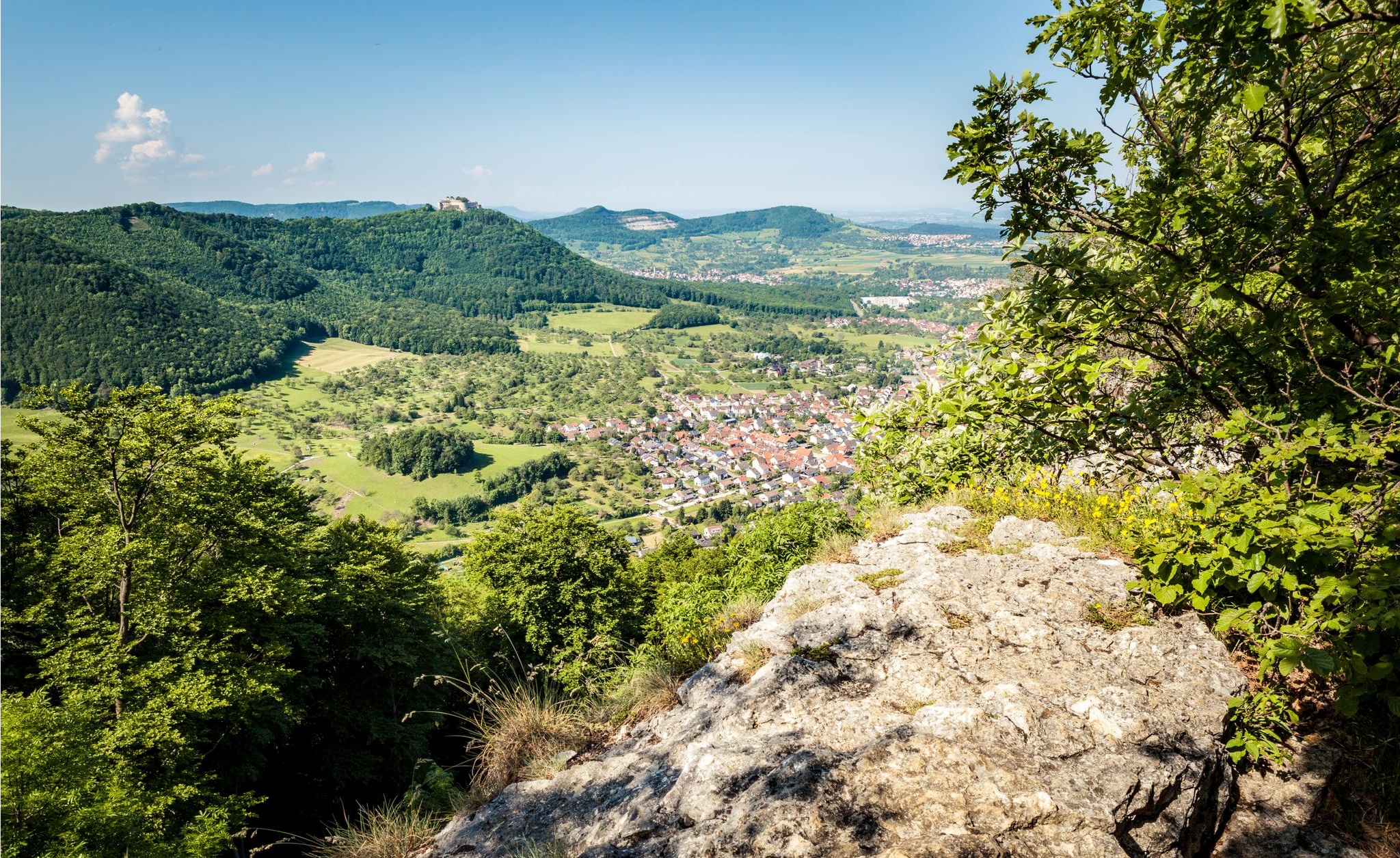
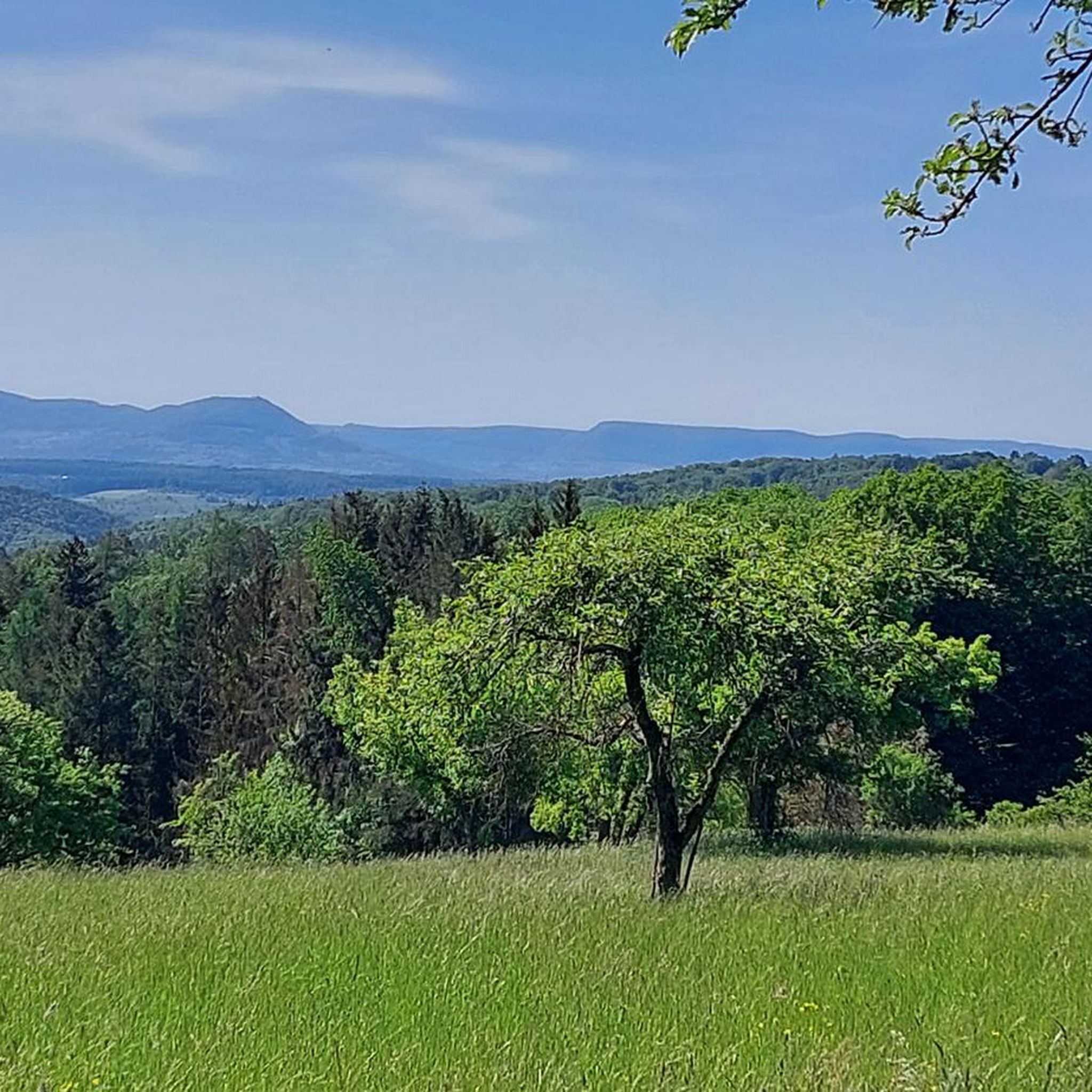
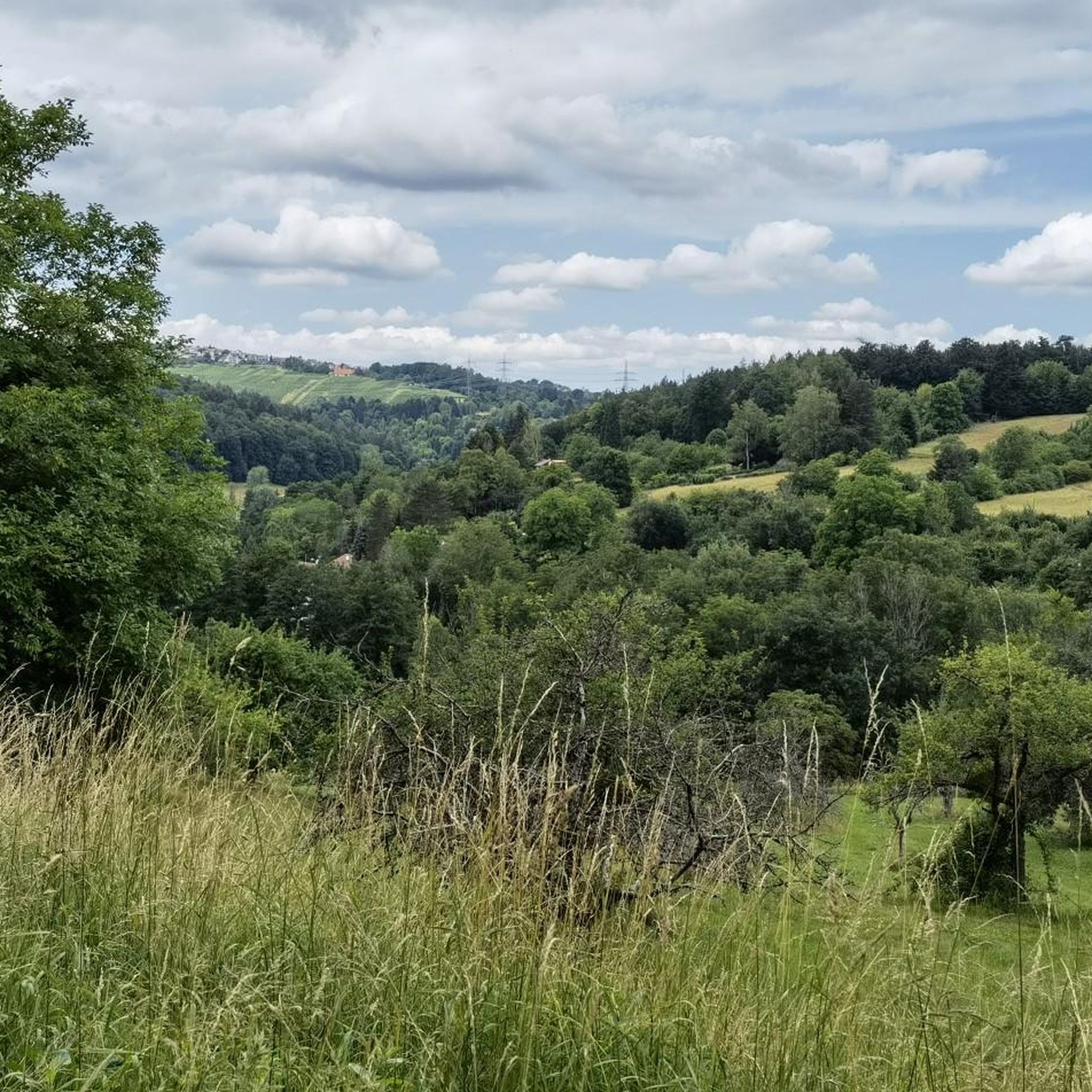
Hiking around Baltmannsweiler offers routes through the Schurwald forest, characterized by rolling hills and idyllic valleys. The region features diverse trails that traverse woodlands, fields, and orchards. Hikers can explore paths along the Breitenbach stream and discover unique natural features like giant sequoia trees. The landscape provides varied terrain for outdoor activities.
Best hiking trails around Baltmannsweiler
- The most popular hiking route is Baacher Tümpel Wetland Biotope – Path along the Breitenbach loop from Baltmannsweiler, a 5.9 miles (9.4…
Last updated: November 3, 2026
4.5
(58)
204
hikers
Moderate hike. Good fitness required. Easily walkable paths.
4.5
(63)
154
hikers
8.97km
02:32
190m
190m
Moderate hike. Good fitness required. Easily walkable paths.

4.7
(27)
71
hikers
5.96km
01:43
150m
150m
Easy hike. Easily walkable paths.
4.5
(18)
70
hikers
Easy hike. Easily walkable paths.
4.8
(6)
58
hikers
Easy hike. Easily walkable paths.
Get access to more routes and recommendations from other explorers.
Already have an account?
Our route recommendations are based on thousands of hikes, rides, and runs completed by other people on komoot.
Start today with a free account
Your next adventure awaits.
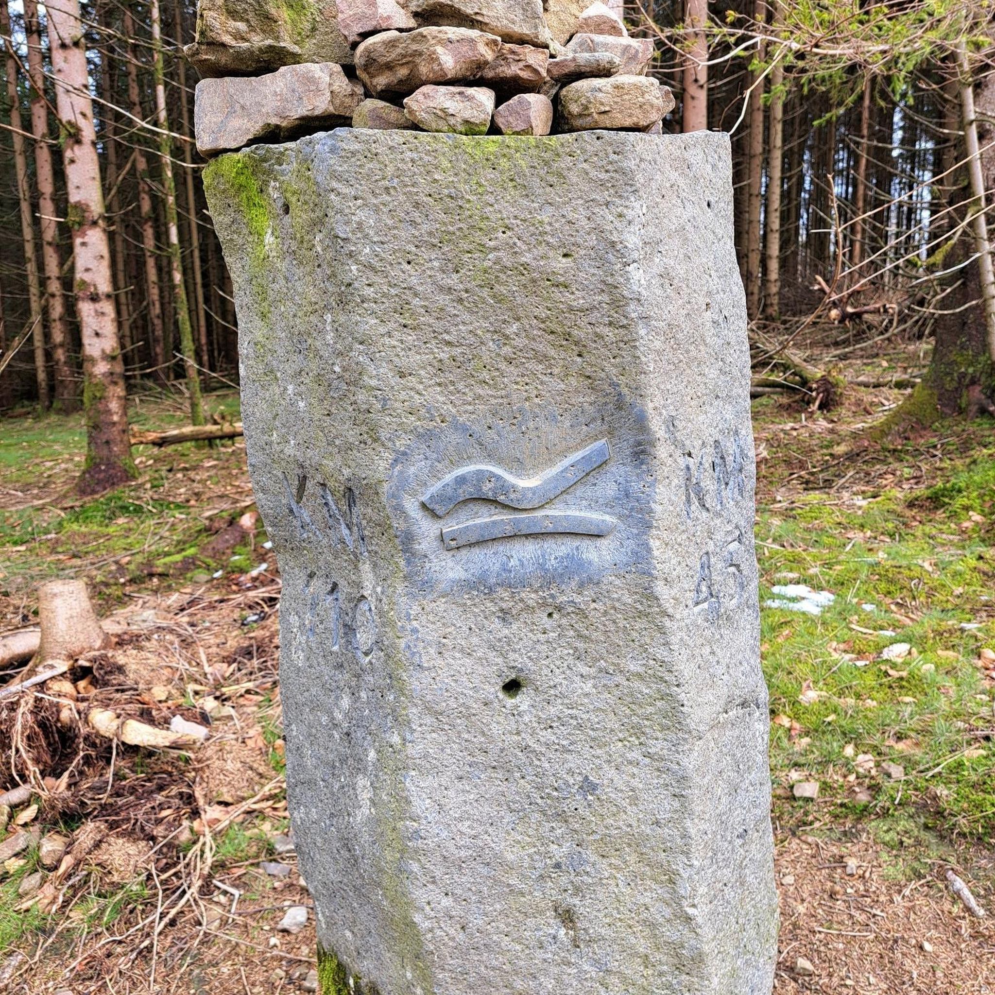
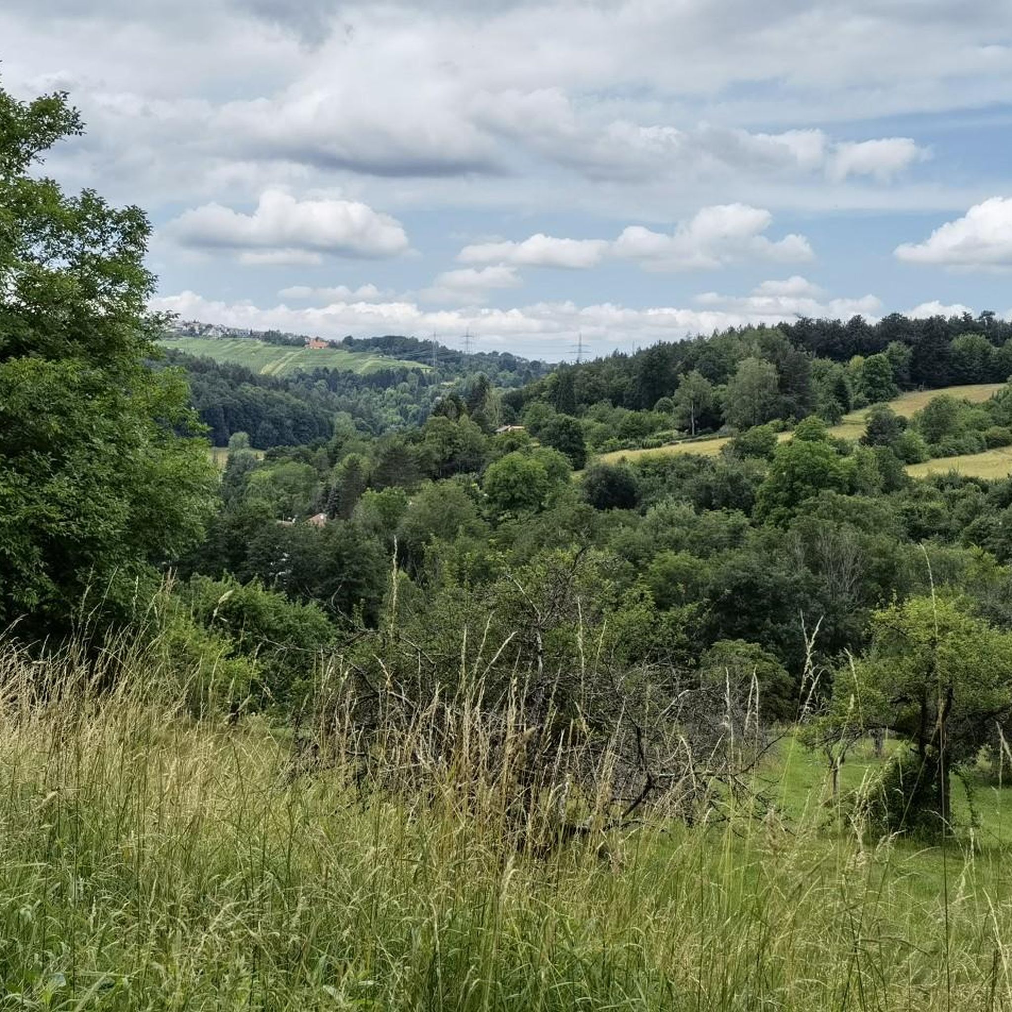
Other adventures around Baltmannsweiler

Tips from the Community

Biotope directly on the hiking trail with seating for a short rest and a beautiful view of the small forest lake.
5
0
The Alte Bogenstein arch bridge, which although no longer accessible due to the risk of collapse, is still very beautiful to look at due to its idyllic location.
6
0
The mill is the older of two historic mills in the valley (the neighboring oil mill dates from 1772) and was first documented in 1402 as the property of the Nellingen provostry. The name goes back to the old manorial milling right (the so-called compulsory grinding). The inhabitants of the surrounding hamlets of Baltmannsweiler, Hegenlohe, Hohengehren, and Thomashardt were legally "banned" – i.e. obliged – to have their grain ground exclusively here.
7
0
Spring from a large stone, located directly on the hiking trail.
8
0

Nicely done and a way to view the meandering Reichenbach stream.
0
0

Free parking is available at the trailhead parking lot. From there, beautiful hiking trails lead through the forest. A barbecue and picnic area is located nearby.
3
0
Nature in abundance in a metropolitan area! Information panels about the protected forest are located on the three tree trunks, which are nicely decorated with carvings (faces).
2
0
Here you'll find giant sequoia trees! They're really interesting to take a closer look at, very impressive!
2
0
Frequently Asked Questions
How many hiking trails are available around Baltmannsweiler?
There are over 55 hiking trails around Baltmannsweiler, offering a diverse range of experiences. You'll find paths through the Schurwald forest, along streams, and across rolling hills.
Are there easy hiking trails suitable for beginners in Baltmannsweiler?
Yes, Baltmannsweiler offers many easy hiking trails. Approximately 37 of the routes are classified as easy. An example is the Forester's Spring – Research Trail Schachenbach loop from Baltmannsweiler, which is about 6.1 km long and leads through the Schurwald forest.
Are there any circular hiking routes in Baltmannsweiler?
Many of the trails around Baltmannsweiler are designed as circular routes, allowing you to start and end at the same point. Popular examples include the Baacher Tümpel Wetland Biotope – Path along the Breitenbach loop and the Bridge Near Ölmühle – Bannmühle Reichenbachtal loop.
Can I find trails with scenic viewpoints in Baltmannsweiler?
Yes, the region offers several trails with scenic viewpoints. The Schurwald forest trails often provide panoramic views over plateaus. Additionally, the nearby "Remstal Cinema" viewpoint in Weinstadt offers stunning views over the Remstal Valley.
Are there any unique natural attractions to see while hiking?
Absolutely. You can discover unique natural features like the four giant sequoia trees near Gschlägwiese. The "Baacher Tümpel Wetland Biotope" also offers a moderate path along the Breitenbach stream, providing opportunities to experience local flora and fauna.
Are there any waterfalls near the hiking trails in Baltmannsweiler?
While Baltmannsweiler itself is not known for large waterfalls, the wider region has several smaller ones. You can explore highlights like the Grunbach Waterfall or the Holderstein Rock Formation and Waterfall, which are accessible from nearby areas.
What kind of historical or cultural landmarks can I explore?
Beyond the natural beauty, you can explore the picturesque village center of Baltmannsweiler with its 17th-century half-timbered houses and the historic St. Gallus parish church. Nearby, you can also visit historical sites like Esslingen Castle.
Are the hiking trails in Baltmannsweiler dog-friendly?
Many trails in the Baltmannsweiler area, especially those through the Schurwald forest and along streams, are suitable for hiking with dogs. It's always recommended to keep dogs on a leash, especially in nature reserves or near wildlife.
Is parking available at the trailheads?
Yes, several trailheads in and around Baltmannsweiler offer parking. For instance, the Baltmannsberg – Gschlag Trailhead Parking loop explicitly mentions free parking availability at its starting point.
Can I reach hiking trails in Baltmannsweiler using public transport?
Baltmannsweiler is connected by public transport, making it possible to reach some trailheads without a car. Long-distance hiking and cycling routes, such as sections of the Main-Neckar-Rhine Trail (HW3), also pass through the area, offering public transport access points.
What is the typical length of hikes around Baltmannsweiler?
Hikes around Baltmannsweiler typically range from 3 to 10 kilometers. For example, the Baltmannsberg – Gschlag Trailhead Parking loop is about 3 km, while the Baacher Tümpel Wetland Biotope – Path along the Breitenbach loop is around 9.4 km.
When is the best time of year to go hiking in Baltmannsweiler?
The rolling hills and forests of Baltmannsweiler are enjoyable throughout much of the year. Spring and autumn offer pleasant temperatures and beautiful scenery with blooming flowers or colorful foliage. Winter hiking is also possible, with some trails suitable for colder months, though conditions may vary.
What do other hikers say about the trails in Baltmannsweiler?
The hiking routes in Baltmannsweiler are highly rated by the komoot community, with an average score of 4.5 stars from over 700 reviews. Hikers often praise the diverse terrain, well-maintained paths through the Schurwald forest, and the serene atmosphere of the stream valleys.
Most popular routes around Baltmannsweiler
Most popular attractions around Baltmannsweiler

Get inspired with the komoot mobile app


Explore more
Browse the best Hikes in other regions.
