The best mountain hikes around Landkreis Esslingen
4.0
(4)
56
hikers
24
hikes
Mountaineering routes around Landkreis Esslingen traverse a diverse landscape, characterized by the Swabian Alb's escarpment, the Neckar Valley, and numerous named mountains. The region features significant elevation changes, offering challenging ascents and panoramic views, particularly along the Albtrauf. Trails often lead through dense forests, past historical castles, and alongside vineyard-covered slopes. This varied terrain provides a robust setting for outdoor enthusiasts seeking demanding mountain hikes.
Best mountaineering routes around Landkreis Esslingen
- The most popular mountaineering route is Source of the…
Last updated: July 1, 2026
1.0
(1)
11
hikers
7.39km
02:15
250m
250m
Moderate mountaineering route. Good fitness required. Easily-accessible paths. Suitable for all skill levels.
5.0
(1)
3
hikers
9.83km
02:45
200m
200m
Moderate mountaineering route. Good fitness required. Easily-accessible paths. Suitable for all skill levels.

Sign up for free
2
hikers
Hard mountaineering route. Good fitness required. Sure-footedness, sturdy shoes and alpine experience required.
2
hikers
Moderate mountaineering route. Good fitness required. Mostly accessible paths. Sure-footedness required.
4
hikers
17.6km
05:45
720m
720m
Hard mountaineering route. Very good fitness required. Mostly accessible paths. Sure-footedness required.
5.0
(1)
6
hikers
2.82km
00:55
140m
140m
Easy mountaineering route. Great for any fitness level. Easily-accessible paths. Suitable for all skill levels.
5
hikers
12.5km
04:06
570m
570m
Moderate mountaineering route. Good fitness required. Easily-accessible paths. Suitable for all skill levels.
5
hikers
12.6km
04:31
650m
650m
Moderate mountaineering route. Good fitness required. Mostly accessible paths. Sure-footedness required.
3
hikers
10.7km
03:23
390m
390m
Moderate mountaineering route. Good fitness required. Mostly accessible paths. Sure-footedness required.
1
hikers
9.53km
03:07
400m
400m
Moderate mountaineering route. Good fitness required. Easily-accessible paths. Suitable for all skill levels.
Get access to more routes and recommendations from other explorers.
Sign up for free
Already have an account?
Our route recommendations are based on thousands of hikes, rides, and runs completed by other people on komoot.
Start today with a free account
Your next adventure awaits.
Login or Signup
Popular around Landkreis Esslingen

Mountain Hikes around Lenningen
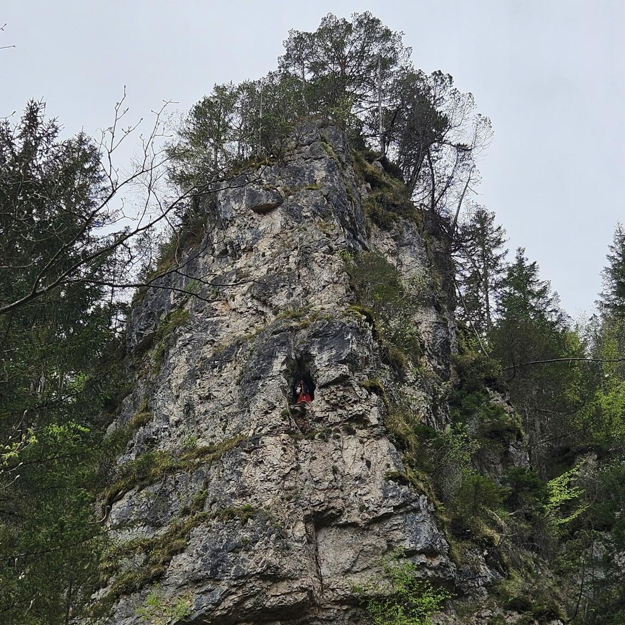
Mountain Hikes around Oberes Lenninger Tal mit Seitentälern

Mountain Hikes around Beuren

Mountain Hikes around Erkenbrechtsweiler

Mountain Hikes around Neuffen
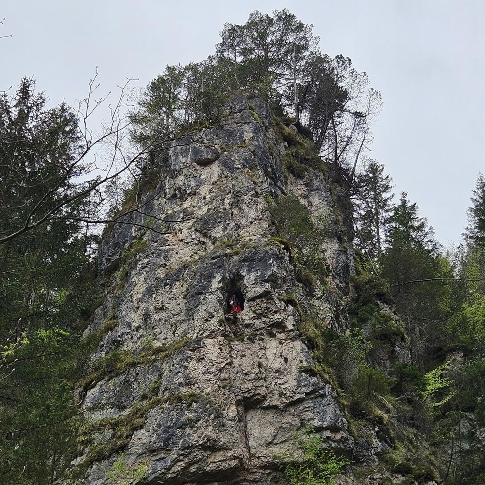
Mountain Hikes around Holzmaden
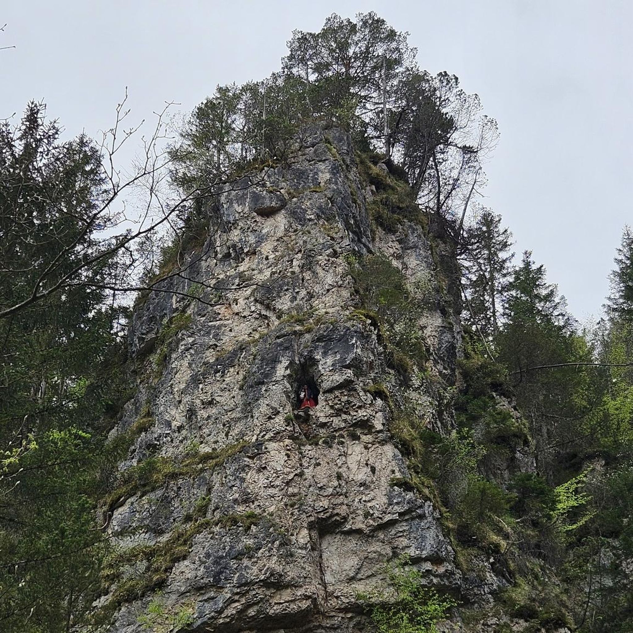
Mountain Hikes around Ohmden
Mountain Hikes around Bissingen an der Teck
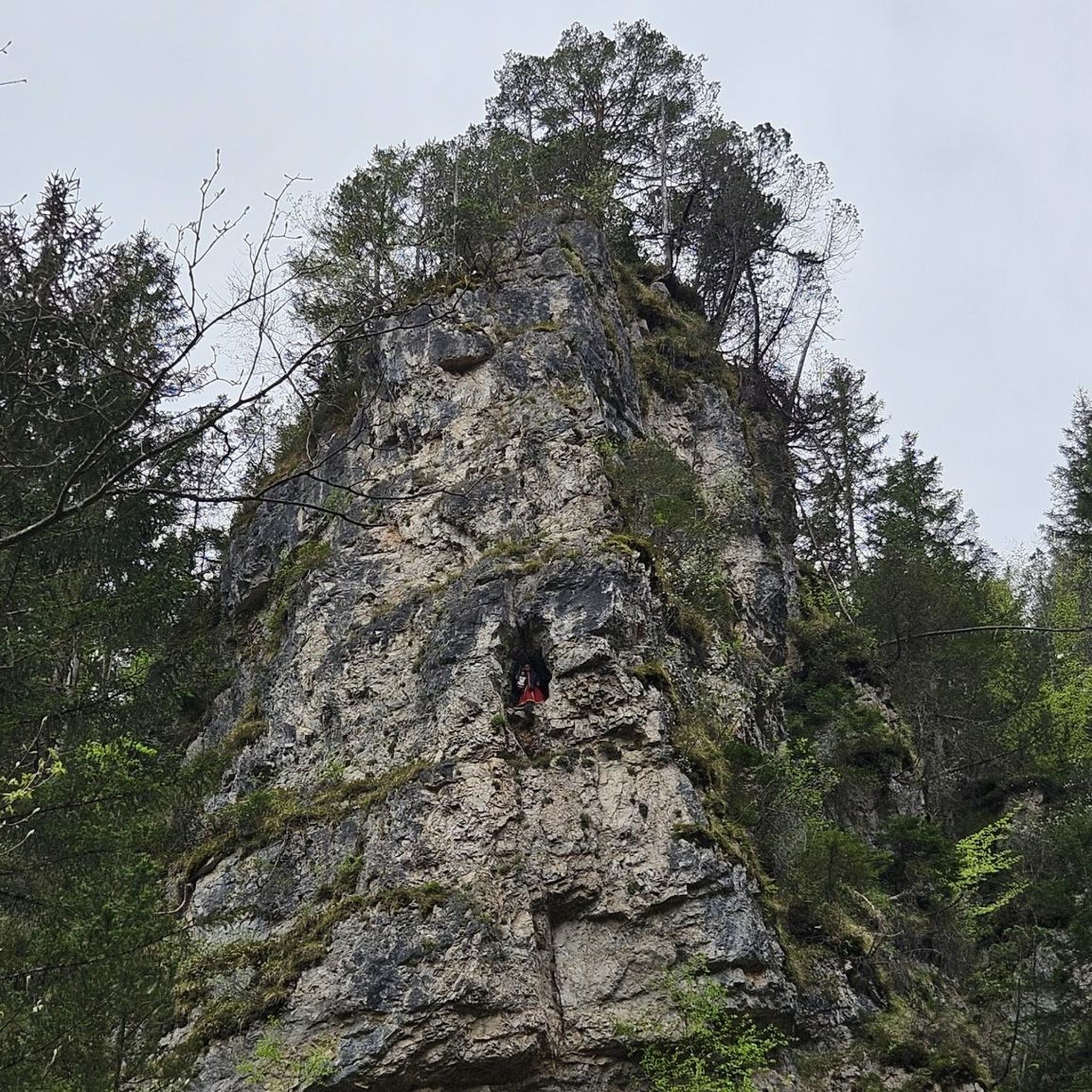
Mountain Hikes around Owen

Mountain Hikes around Oberboihingen
Other adventures around Landkreis Esslingen


Tips from the Community

On beautiful hiking trails to the Höllenlöcher - Near Dettingen an der Erms - LKR. Reutlingen
0
0


Somewhat remote, unmarked viewpoint, which can be reached via a small path and offers a good view from the edge of the Albtrauf.
5
0
Memorial stone for a tragic incident resulting in death on September 9, 2012. The stone stands a little way from the airfield near the Olgafelsen.
5
0
The French term "casemate" describes massive vaults within fortifications. Casemates were usually hidden inside ramparts and consisted of masonry walls or earthen mounds. They were intended to protect against artillery attacks and, in turn, allowed the installation of heavy guns. Such casemates with guns are also found in the high rampart wall of Hohenneuffen.
4
0

Here is a quiet bench where you can take a comfortable break
1
0

Beautiful plateau with great views and opportunities for further tours.
0
0

On weekends we serve coffee and cake, and home-cooked meals.
1
0
Frequently Asked Questions
How many mountaineering routes are available in Landkreis Esslingen?
Landkreis Esslingen offers a wide selection of mountaineering routes, with over 30 distinct trails to explore. These routes cater to various skill levels, from easier paths to more challenging ascents.
What kind of terrain can I expect on mountaineering routes in Landkreis Esslingen?
Mountaineering routes in Landkreis Esslingen feature diverse terrain, primarily characterized by the dramatic escarpment of the Swabian Alb (Albtrauf), the scenic Neckar Valley, and numerous named mountains. You'll encounter significant elevation changes, dense forests, vineyard-covered slopes, and often rocky paths, providing a robust setting for challenging hikes.
Are there routes suitable for beginners or those looking for an easier mountaineering experience?
Yes, even within the mountaineering category, there are routes suitable for those seeking a less strenuous experience. For example, the Teckberg loop from Owen is an easy 2.8 km (1.7 miles) trail, offering a taste of the region's beauty without extreme demands. Overall, there are 6 easy routes available.
What historical castles can I visit along the mountaineering trails?
The region is rich in historical castles that enhance the mountaineering experience. You can find routes that lead to or offer views of impressive structures like Hohenneuffen Castle, Teck Castle, and the ruins of Reußenstein Castle. These often provide excellent viewpoints and historical context to your hike.
Are there any notable natural features or viewpoints to discover?
Absolutely. The mountaineering routes often lead to spectacular natural features and viewpoints. You can explore geological wonders within the UNESCO Global Geopark Swabian Alb, including canyons like the Zipfelbach Gorge or the Höllenlöcher Rock Crevices. Many trails also offer panoramic vistas from peaks like Gelber Fels or along the Albtrauf escarpment.
Can I find routes that pass through vineyards or offer views of the Neckar Valley?
Yes, the landscape around Esslingen am Neckar is shaped by the Neckar River and its steep, vineyard-covered slopes. Many trails wind through these vineyards, providing picturesque views of the valley and an insight into the region's winemaking history. These routes often combine natural beauty with cultural heritage.
Are the mountaineering routes in Landkreis Esslingen generally circular?
Many of the mountaineering routes in Landkreis Esslingen are designed as circular trails, making planning easier. For instance, the popular Source of the Fils – View of Neidlingen Valley loop from Wiesensteig and the Teck Castle – Gelber Fels Viewpoint loop from Bissingen an der Teck are both excellent circular options.
Are there dog-friendly options for mountaineering in the region?
Landkreis Esslingen is generally welcoming to dogs on its trails. Most mountaineering routes, especially those through forests and natural areas, are suitable for well-behaved dogs on a leash. Always ensure your dog is accustomed to longer distances and varied terrain, and carry enough water for both of you.
What is the best time of year for mountaineering in Landkreis Esslingen?
The best time for mountaineering in Landkreis Esslingen is typically from spring through autumn (April to October). During these months, the weather is generally mild, and the trails are clear. Spring offers blooming landscapes, while autumn provides stunning fall foliage. Winter mountaineering is possible but requires appropriate gear and caution due to potential snow and ice.
Where can I find refreshments or places to eat near the trails?
Many popular mountaineering destinations in Landkreis Esslingen offer refreshment options. For example, Hohenneuffen Castle, a frequent highlight on routes, has a restaurant. You'll also find cafes and pubs in the towns and villages near trailheads, particularly in areas like Beuren or Bissingen an der Teck.
What do other mountaineers appreciate most about the routes in Landkreis Esslingen?
The routes in Landkreis Esslingen are highly rated by the komoot community, with an average score of 5.0 stars from 4 reviews. Mountaineers often praise the challenging ascents, the expansive panoramic views from the Albtrauf, and the combination of natural beauty with historical landmarks like the castles.
I'm looking for a challenging mountaineering route. What would you recommend?
For a challenging experience, consider the Beurener Fels Viewpoint – Hohenneuffen Castle loop from Beuren. This difficult 17.9 km (11.1 miles) trail features significant elevation gain (720m up) and takes nearly 6 hours to complete, offering demanding terrain and rewarding views along the Swabian Alb's escarpment.
Are there any routes that offer views of the Randecker Maar?
Yes, you can find routes that provide views of the Randecker Maar, a significant geological feature. The Auchtert – Mörikefels loop from Randecker Maar mit Zipfelbachschlucht is a moderate 5.5 km (3.4 miles) trail that starts from the Randecker Maar area and offers scenic views, including the nearby Zipfelbach Gorge.
Most popular routes around Landkreis Esslingen
Most popular attractions around Landkreis Esslingen

Get inspired with the komoot mobile app


Didn’t find what you were looking for?
Check out more Mountain Hikes & Routes throughout Landkreis Esslingen below and find the perfect route in your destination.
Explore more
Browse the best Mountain Hikes & Routes in other regions.
