The best mountain hikes around Kuppenheim
5.0
(3)
21
hikers
5
hikes
Mountaineering routes around Kuppenheim are situated at the foot of the Black Forest, offering access to a landscape characterized by picturesque hills and dense forests. The region provides varied terrain with significant elevation changes, particularly within the nearby Black Forest National Park. This area features wild beauty, lush green forests, and opportunities for strenuous uphill activities.
Best mountaineering routes around Kuppenheim
- The most popular mountaineering route is Teufelsmühle Observation Tower – Teufelskammern Sandstone Caves loop from Loffenau, a 6.4…
Last updated: October 9, 2026
5.0
(2)
8
hikers
Moderate mountaineering route. Good fitness required. Mostly accessible paths. Sure-footedness required.
6
hikers
Moderate mountaineering route. Great for any fitness level. Mostly accessible paths. Sure-footedness required.

4
hikers
3.35km
01:11
150m
150m
Moderate mountaineering route. Great for any fitness level. Mostly accessible paths. Sure-footedness required.
5.0
(1)
2
hikers
11.3km
03:37
420m
420m
Moderate mountaineering route. Good fitness required. Mostly accessible paths. Sure-footedness required.
1
hikers
Moderate mountaineering route. Good fitness required. Easily-accessible paths. Suitable for all skill levels.
Our route recommendations are based on thousands of hikes, rides, and runs completed by other people on komoot.
Start today with a free account
Your next adventure awaits.
Popular around Kuppenheim
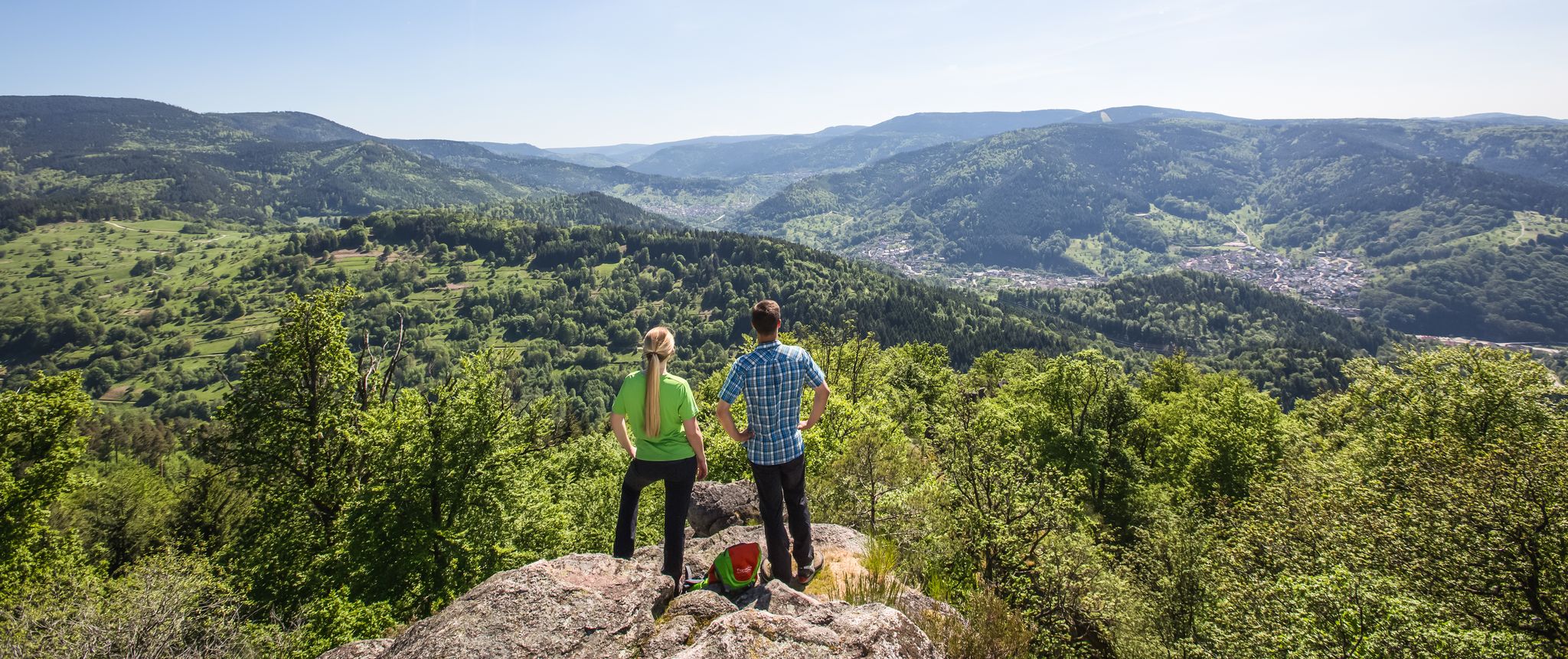
Murgleiter Trail – Experience the diverse Murg Valley in 5 stages

Discover premium and quality long-distance hiking in southern Germany
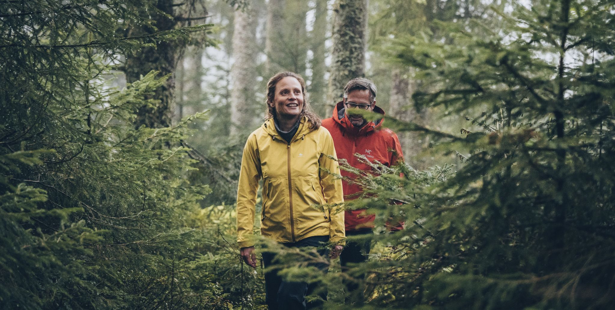
The Murgleiter – 5 days on the move in the northern Black Forest

The most beautiful long-distance hiking trails in the Black Forest
Cycling around Kuppenheim
Hiking around Kuppenheim
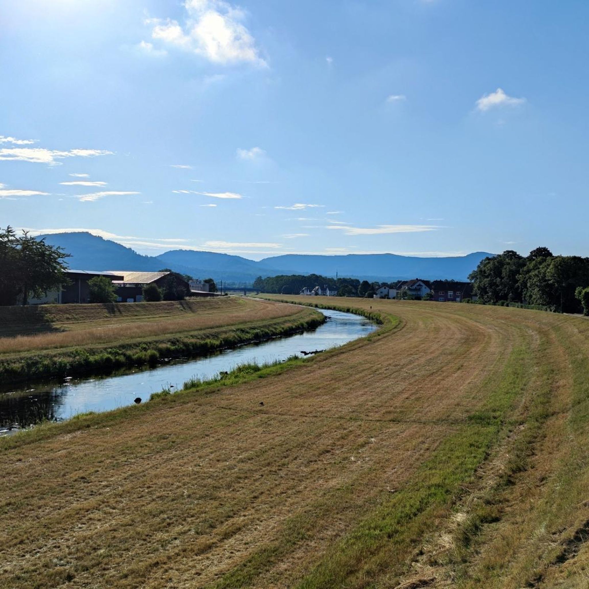
Road Cycling Routes around Kuppenheim
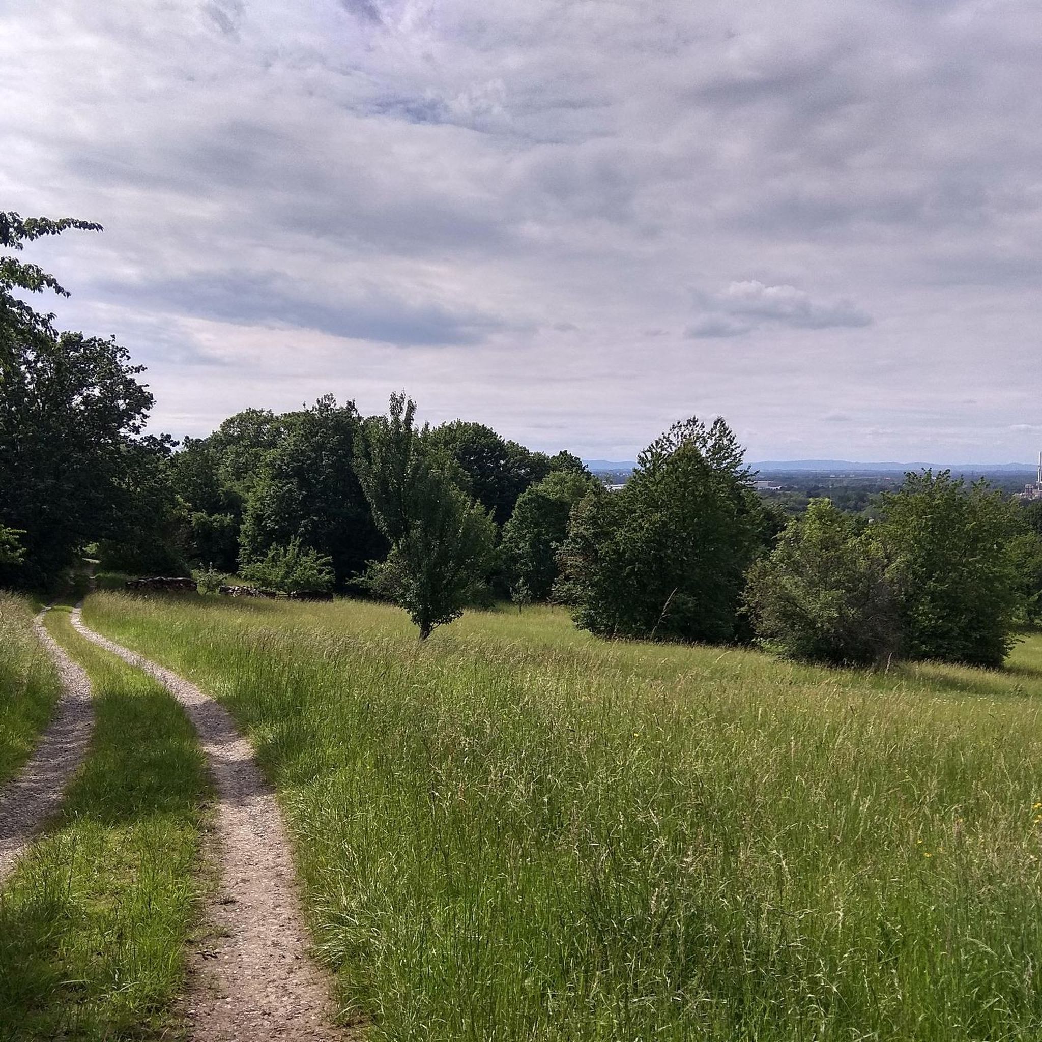
MTB Trails around Kuppenheim
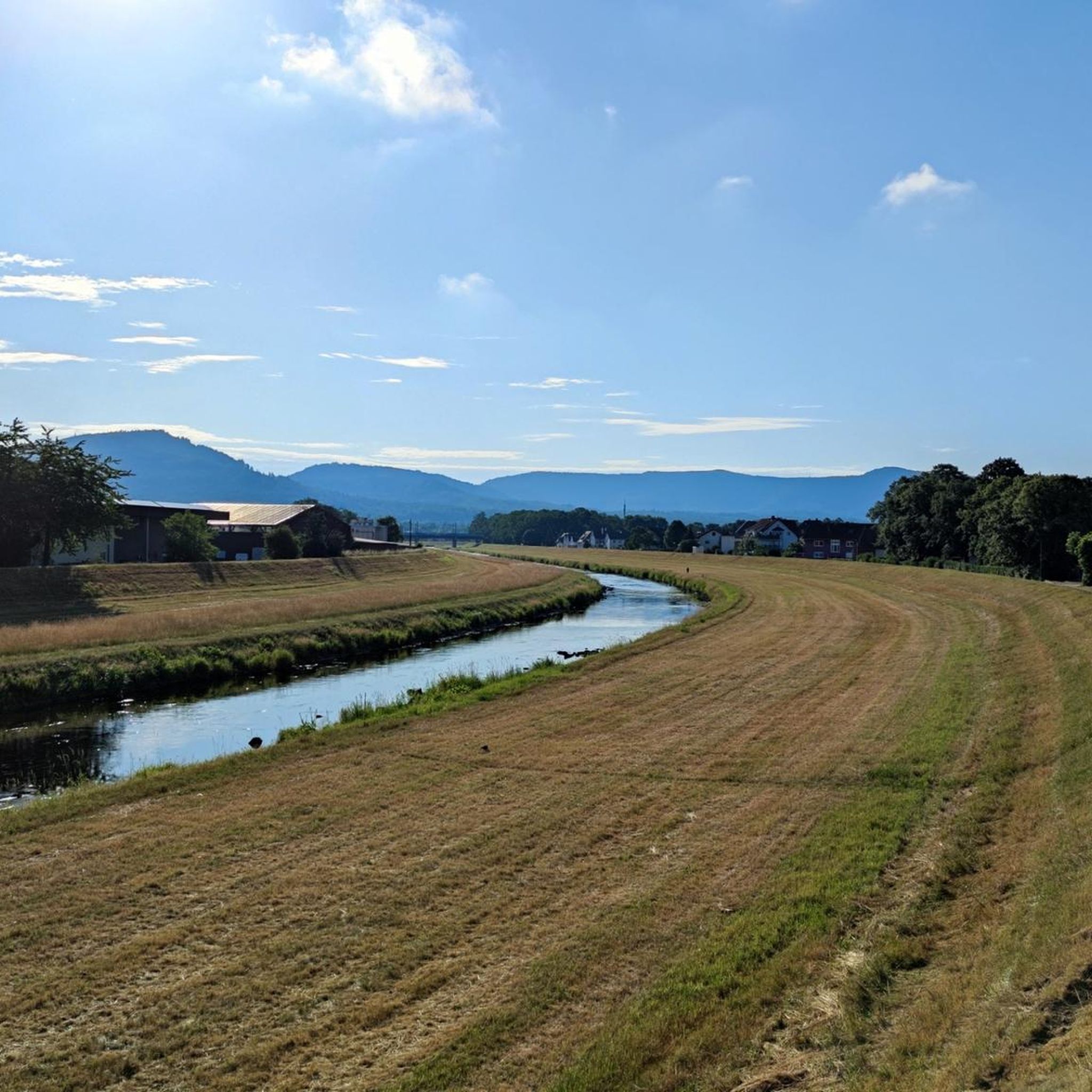
Running Trails around Kuppenheim

Gravel biking around Kuppenheim
Other adventures around Kuppenheim


Tips from the Community

Great view. Worth it
1
0

From the Battert, there are always great views of the Nordschwarzwald.
8
0
Just behind the Old Castle of Hohenbaden, a narrow path climbs steeply up to the Battert
8
0
Part of the path is blocked and we had to turn back and take another descent.
6
0


A massive wooden bridge nestled in a jungle-like ravine forest. Surrounded by rhododendrons, ferns, and moss-covered stones—especially beautiful in spring.
8
0

Good parking for the start of the circular route
1
0
Frequently Asked Questions
How many mountaineering routes are available around Kuppenheim?
There are 6 mountaineering routes around Kuppenheim listed in this guide. All of them are classified as moderate, offering varied terrain and significant elevation changes within the Black Forest foothills.
What kind of terrain and landscapes can I expect on mountaineering routes near Kuppenheim?
Mountaineering routes near Kuppenheim are characterized by the picturesque hills and dense forests of the Black Forest foothills. You'll encounter varied terrain with significant elevation changes, especially as you approach the Black Forest National Park, known for its wild beauty and lush green forests.
Are there any circular mountaineering routes around Kuppenheim?
Yes, several routes are designed as loops. For example, you can explore the Teufelsmühle Observation Tower – Teufelskammern Sandstone Caves loop from Loffenau, which is a 10.3 km trail. Another option is the Trail to Batter Fels – View from the Ritterplatte loop from Battertfelsen beim Schloß Hohenbaden, a moderate 3.9 km path offering great views.
What are some notable landmarks or viewpoints I can discover on these routes?
Many routes offer access to stunning viewpoints and historical sites. You can find routes that lead to the Teufelsmühle Observation Tower, the Teufelskammern Sandstone Caves, or provide views from the Ritterplatte. The View from the Ritterplatte – Old Castle Baden-Baden loop from Baden-Baden, for instance, offers views of the Old Castle.
Are there any routes that pass by castles or historical sites?
Yes, the region is rich in historical landmarks. The View from the Ritterplatte – Old Castle Baden-Baden loop from Baden-Baden and the Old Castle Baden-Baden – View from the Ritterplatte loop from Baden-Baden both offer views of the Old Castle. You can also explore nearby castles like Old Hohenbaden Castle or Eberstein Castle, which are popular highlights in the area.
Can I find any waterfalls along the mountaineering trails near Kuppenheim?
While the immediate mountaineering routes might not directly feature major waterfalls, the broader region around Kuppenheim, particularly within the Black Forest, is home to several beautiful cascades. You could explore highlights like the Geroldsauer Waterfall or the Laufbach Waterfalls, which are popular attractions in the vicinity.
What do other mountaineers say about the routes around Kuppenheim?
The mountaineering routes around Kuppenheim are highly regarded by the komoot community, holding an average rating of 5.0 stars from 3 reviews. Over 20 mountaineers have used komoot to explore this varied terrain, often praising the scenic beauty and the challenging yet rewarding ascents.
Are the mountaineering routes around Kuppenheim suitable for families?
All the listed mountaineering routes are classified as moderate. While they involve significant elevation changes, some shorter loop trails like the Trail to Batter Fels – View from the Ritterplatte loop from Battertfelsen beim Schloß Hohenbaden (3.9 km) might be manageable for families with older children who are accustomed to hiking. Always consider the fitness level of all participants.
Are dogs allowed on the mountaineering trails in the Kuppenheim area?
Generally, dogs are welcome on hiking and mountaineering trails in the Black Forest region, including around Kuppenheim. However, it's always advisable to keep them on a leash, especially in nature reserves, near wildlife, or in areas with livestock. Be sure to carry water for your dog and clean up after them.
What is the best time of year to go mountaineering around Kuppenheim?
The Black Forest foothills around Kuppenheim are beautiful year-round. Spring offers lush greenery and blooming wildflowers, while autumn provides stunning fall foliage. Summer is ideal for longer days and warmer temperatures, though some routes can be busy. Winter mountaineering is possible but requires appropriate gear and caution due to snow and ice, especially at higher elevations.
Are there options for public transport to access these mountaineering routes?
Kuppenheim has public transport connections, and the broader Black Forest region is well-served by buses and trains. While specific route access points via public transport might vary, you can often reach trailheads in nearby towns like Baden-Baden or Loffenau, which serve as starting points for some of these routes. It's recommended to check local bus and train schedules for specific connections to your chosen trailhead.
Where can I find parking for the mountaineering routes?
Many trailheads in the Black Forest region, including those near Kuppenheim, offer designated parking areas. For routes starting from towns like Baden-Baden or Loffenau, you can typically find public parking lots. It's advisable to research specific parking options for your chosen route in advance, as availability may vary.
Are there any cafes or restaurants near the mountaineering trails in Kuppenheim?
Kuppenheim and the surrounding towns like Baden-Baden offer a variety of cafes, restaurants, and traditional guesthouses where you can refuel after your mountaineering adventure. Some routes might pass by smaller establishments, but it's always a good idea to carry snacks and drinks, especially on longer trails, and plan your post-hike meal in one of the charming local villages.
Most popular routes around Kuppenheim
Most popular attractions around Kuppenheim

Get inspired with the komoot mobile app


Explore more
Browse the best Mountain Hikes & Routes in other regions.
