The best gravel rides around Kuppenheim
4.5
(107)
675
riders
141
rides
Gravel biking around Kuppenheim offers a diverse landscape for riders. The region features a mix of forested hills, such as those leading to Merkur Mountain and Old Hohenbaden Castle, alongside flatter river plains near the Rhine. Elevation gains vary significantly, providing options from gentle riverside paths to more challenging climbs through the Black Forest foothills. This area is characterized by its blend of natural scenery and historical points of interest.
Best gravel bike trails around Kuppenheim
- The most popular gravel…
Last updated: October 6, 2026
5.0
(3)
24
riders
31.5km
02:06
660m
660m
Hard gravel ride. Very good fitness required. Mostly paved surfaces. Suitable for all skill levels.
5.0
(4)
22
riders
46.5km
02:55
760m
760m
Hard gravel ride. Very good fitness required. Mostly paved surfaces. Suitable for all skill levels.

4.0
(1)
9
riders
Easy gravel ride. Great for any fitness level. Mostly paved surfaces. Suitable for all skill levels.
4.0
(1)
5
riders
19.1km
01:15
270m
270m
Moderate gravel ride. Good fitness required. Mostly paved surfaces. Suitable for all skill levels.
5.0
(1)
8
riders
43.5km
02:53
660m
660m
Hard gravel ride. Very good fitness required. Mostly paved surfaces. Suitable for all skill levels.
Get access to more routes and recommendations from other explorers.
Already have an account?
Our route recommendations are based on thousands of hikes, rides, and runs completed by other people on komoot.
Start today with a free account
Your next adventure awaits.
Popular around Kuppenheim
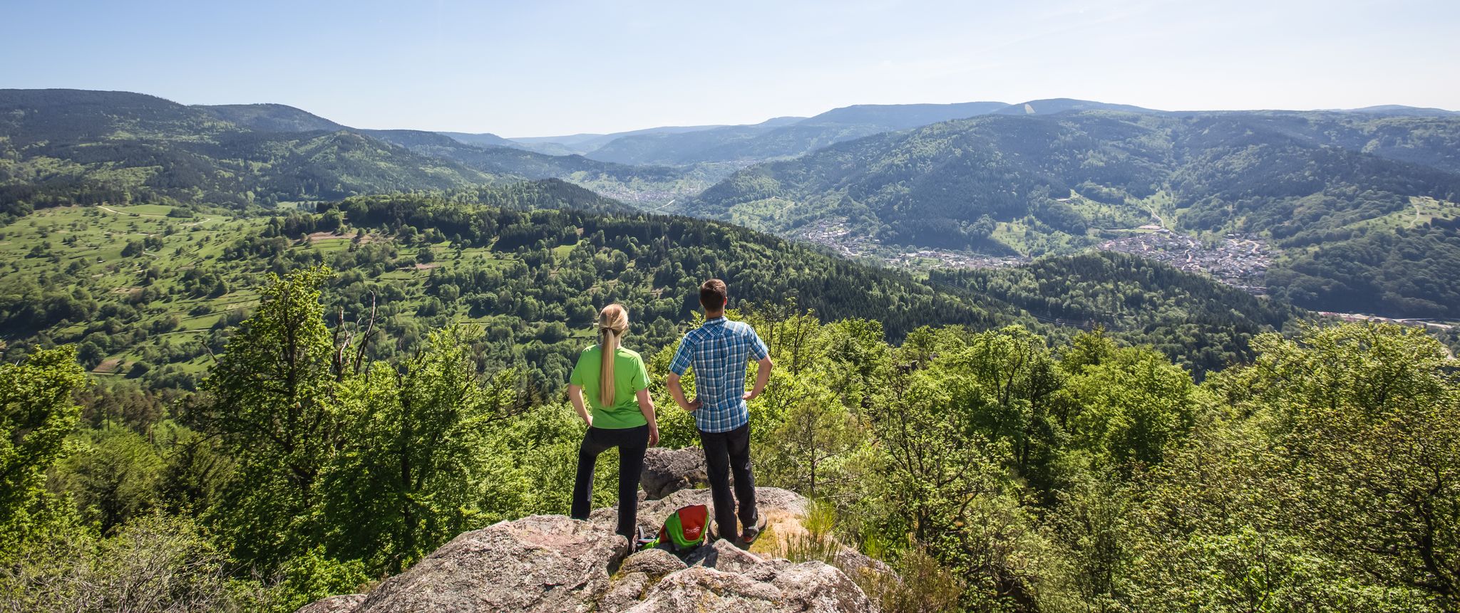
Murgleiter Trail – Experience the diverse Murg Valley in 5 stages

Discover premium and quality long-distance hiking in southern Germany

The Murgleiter – 5 days on the move in the northern Black Forest
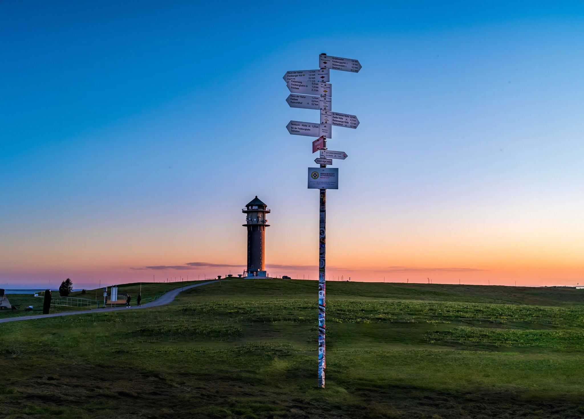
The most beautiful long-distance hiking trails in the Black Forest
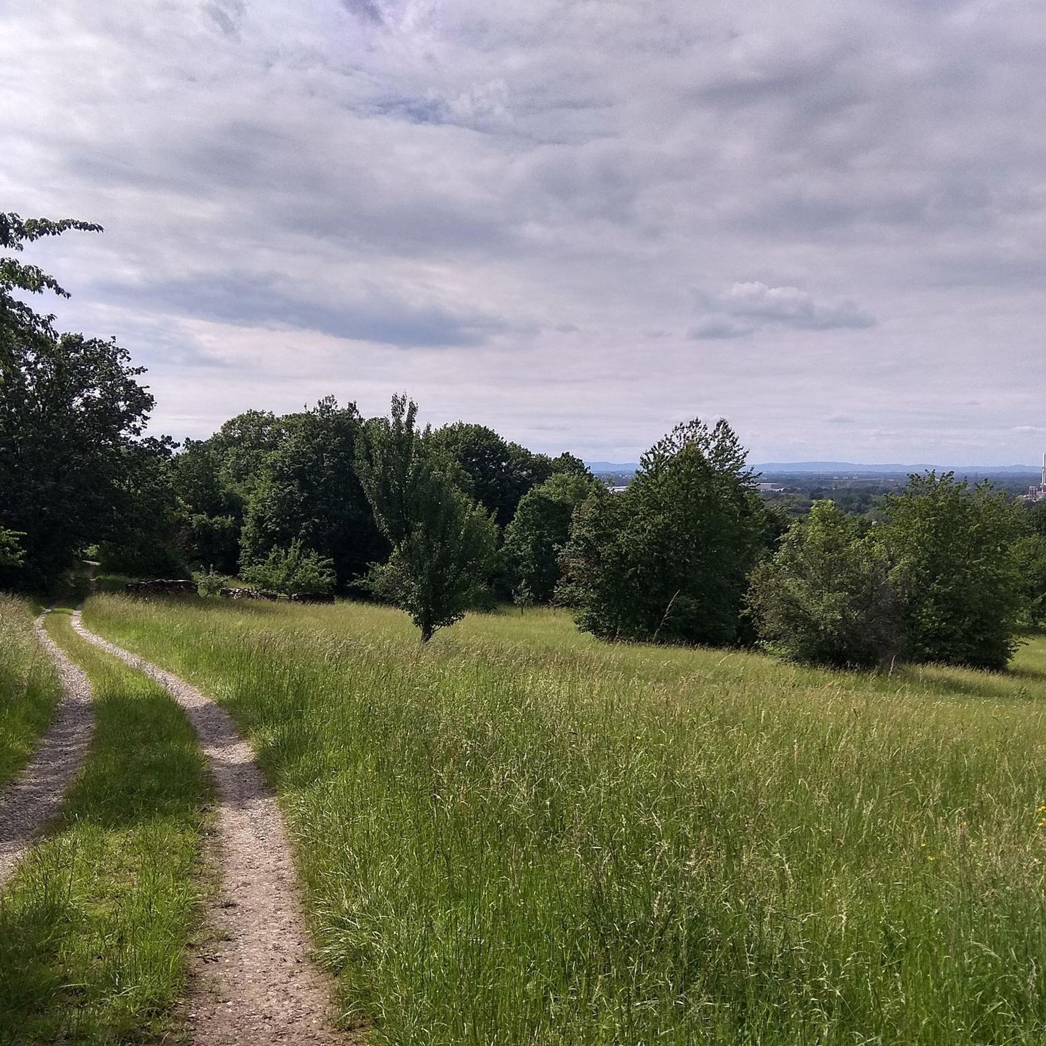
Cycling around Kuppenheim
Hiking around Kuppenheim
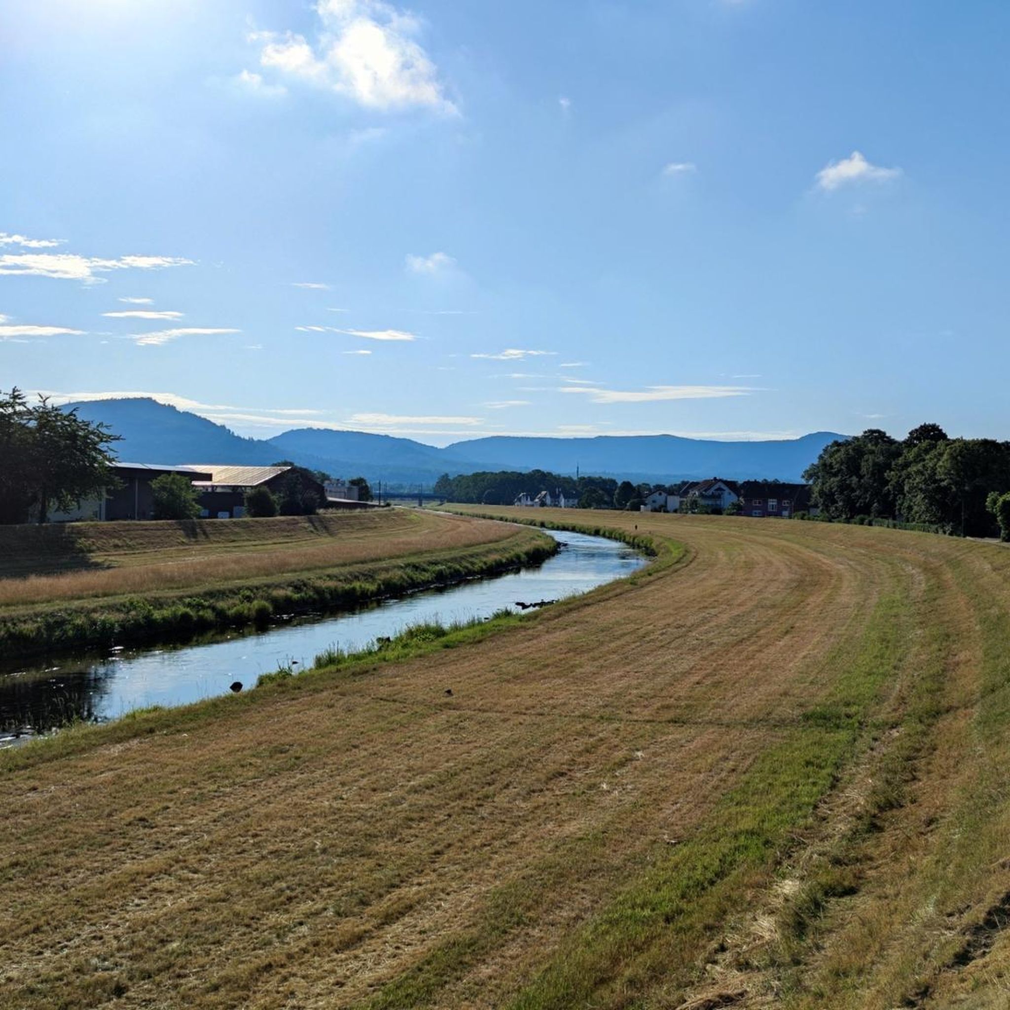
Road Cycling Routes around Kuppenheim
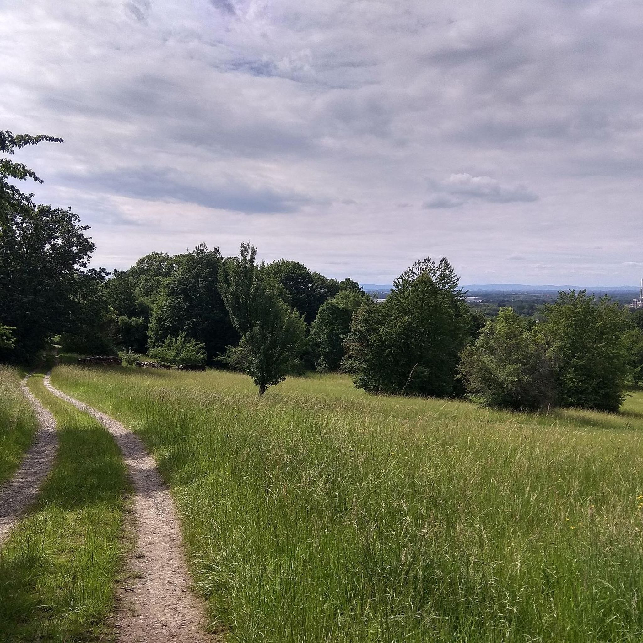
MTB Trails around Kuppenheim
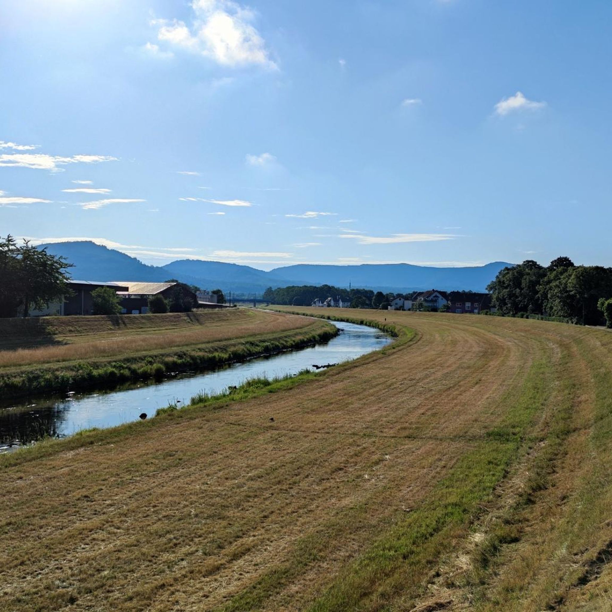
Running Trails around Kuppenheim

Mountain Hikes around Kuppenheim
Other adventures around Kuppenheim


Tips from the Community

Beautiful avenue near the access to the castle.
4
0
The bridge itself is nothing special, the view over the Murg is very beautiful 🤩
4
0

best during the week 😅on weekends it's always busy, and please stay on the bike path🚵♂️
1
0

At the spot where the mountain railway tunnels under the gravel road, you have beautiful views over Baden-Baden. A good place for a breather.
1
0

The hut is quite messy. Next to it, however, the break table is nice.
3
0
Beautiful view over the Murg to the old town and the surroundings.
4
0

The Altrhein near Plittersdorf is a former arm of the Rhine, which was separated from the main current by the Rhine regulation in the 19th century (also called Rhine straightening). Today, the Altrhein is a calm, mostly slow-flowing or stagnant body of water in the Rhine floodplain near Plittersdorf. It is surrounded by floodplain forests, meadows, and small bodies of water. This natural landscape offers many animal and plant species an important habitat, for example birds such as herons and swans, as well as various fish species. In the past, the Rhine flowed directly past Plittersdorf and often led to floods. The course of the river was changed by the straightening, and the Altrhein was preserved as a "remnant" of the old Rhine. Today, it has above all ecological significance and also serves as a recreational area for people.
0
0
The Altrhein near Plittersdorf is a former arm of the Rhine, which was separated from the main stream by the Rhine regulation in the 19th century (also called Rhine straightening). Today, the Altrhein is a quiet, mostly slow-flowing or standing body of water in the Rhine floodplain near Plittersdorf. It is surrounded by floodplain forests, meadows, and small bodies of water. This natural landscape offers an important habitat for many animal and plant species, for example birds such as herons and swans, as well as various fish species. In the past, the Rhine flowed directly past Plittersdorf and frequently caused floods. The course of the river was changed by the straightening, and the Altrhein was preserved as a "remnant" of the old Rhine. Today it has primarily ecological significance and also serves as a recreational area for people.
0
0
Frequently Asked Questions
How many gravel bike trails are available around Kuppenheim?
There are nearly 200 gravel bike routes in the Kuppenheim area, offering a wide range of options for different skill levels and preferences. You'll find everything from gentle riverside paths to challenging climbs in the Black Forest foothills.
Are there easy gravel bike trails suitable for beginners in Kuppenheim?
Yes, Kuppenheim offers several easy gravel bike trails perfect for beginners. While many routes feature significant elevation, there are 21 routes specifically categorized as easy. These typically follow flatter river plains, providing a less strenuous experience.
What kind of scenic views can I expect on gravel bike routes near Kuppenheim?
Gravel biking around Kuppenheim offers diverse scenic views, from expansive panoramas over the Rhine Plain to dense forested hills. Routes like the Butterfly Trail – View from Merkur Mountain loop from Kuppenheim provide stunning vistas from Merkur Mountain. You can also explore routes that pass through historic areas and natural gorges.
Are there any family-friendly gravel bike routes in the Kuppenheim region?
For families, routes that stick to the flatter river plains, such as those near the Rhine, are generally more suitable. These paths often have less elevation gain and are less technically demanding. Look for routes categorized as 'easy' for the most family-friendly options.
What are some challenging gravel bike routes for experienced riders in Kuppenheim?
Experienced gravel bikers will find plenty of challenging routes, with 89 trails categorized as difficult. For instance, the Eberstein Castle – View from Merkur Mountain loop from Kuppenheim is a demanding 46.4 km path that combines historic sites with significant climbs and panoramic views. Another challenging option is the Old Hohenbaden Castle – Schweinlach Hut loop from Kuppenheim.
What are some interesting landmarks or natural attractions to see along the gravel bike trails?
Many gravel bike routes in Kuppenheim pass by notable landmarks and natural attractions. You can encounter historical sites like Old Hohenbaden Castle or Eberstein Castle. Natural highlights include the Wolf Gorge, Laufbach Waterfalls, and viewpoints such as the Merkur Tower (Merkurturm). The Bridge at the Old Federbach – Old Rhine in the Rastatt Rhine Floodplain loop from Rastatt Beinle offers a different perspective through the floodplain.
Are there gravel bike routes around Kuppenheim that form a loop?
Yes, many gravel bike routes in the Kuppenheim area are designed as loops, allowing you to start and end at the same point. Examples include the Butterfly Trail – View from Merkur Mountain loop from Kuppenheim and the View of the Rhine Plain – Waldbrechtstalweg Forest Path loop from Gaggenau. These circular routes are convenient for planning your ride.
What is the typical length and duration of gravel bike trails in Kuppenheim?
The length and duration of gravel bike trails in Kuppenheim vary significantly. Routes can range from shorter, easier rides to longer, more challenging expeditions. For example, the Butterfly Trail is about 31.2 km and takes around 2 hours, while the Eberstein Castle loop is 46.4 km, typically requiring closer to 3 hours to complete.
What do other gravel bikers say about the trails in Kuppenheim?
The gravel biking routes in Kuppenheim are highly regarded by the komoot community, with an average rating of 4.4 stars from over 170 reviews. Riders often praise the diverse landscape, which includes both challenging forested hills and serene river plains, as well as the blend of natural beauty and historical points of interest.
Is gravel biking in Kuppenheim suitable during winter months?
While gravel biking is possible year-round, winter conditions in Kuppenheim can vary. Routes in the higher forested areas may be affected by snow or ice, especially on shaded paths. Flatter routes along the river plains might remain more accessible. Always check local weather conditions and trail reports before heading out in winter.
Are there any routes that offer opportunities for cafe stops or refreshments?
Many routes in the Kuppenheim region pass through or near towns and villages where you can find cafes and restaurants. For example, the Merkurstüble Restaurant is located near Merkur Mountain, which is featured in several popular routes. Planning your route to include stops in Kuppenheim or nearby Baden-Baden can provide refreshment opportunities.
Most popular routes around Kuppenheim
Most popular attractions around Kuppenheim

Get inspired with the komoot mobile app


Explore more
Browse the best Gravel rides in other regions.
