The best road cycling routes around Ebnat Kappel
4.7
(158)
3,974
riders
71
rides
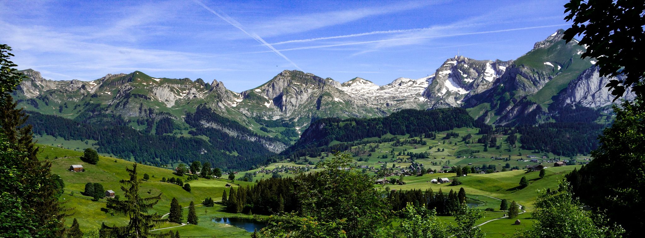
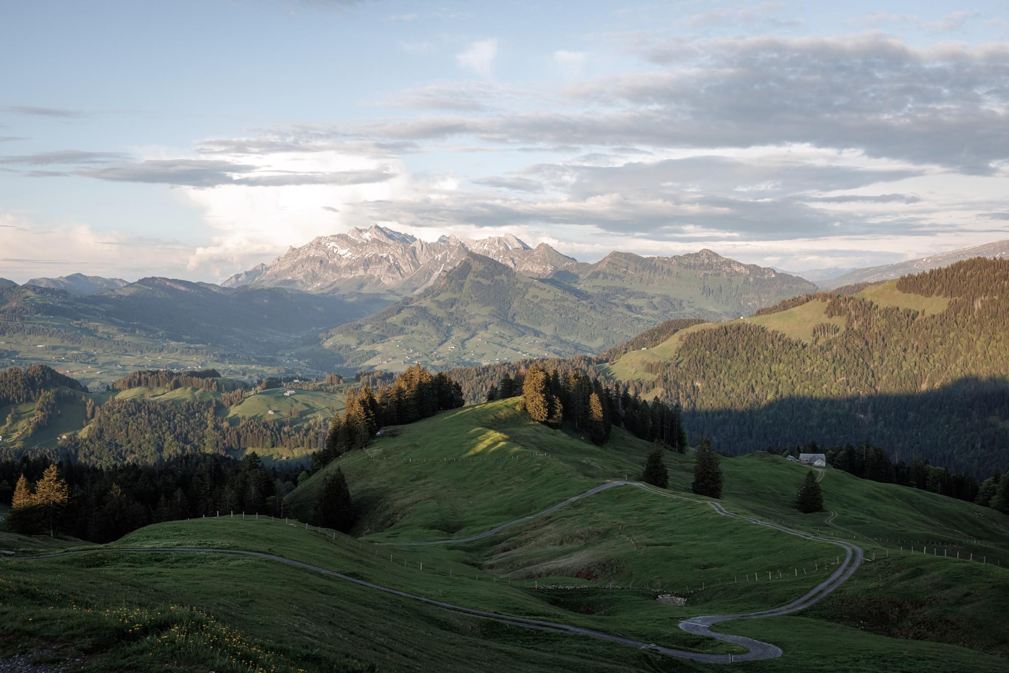
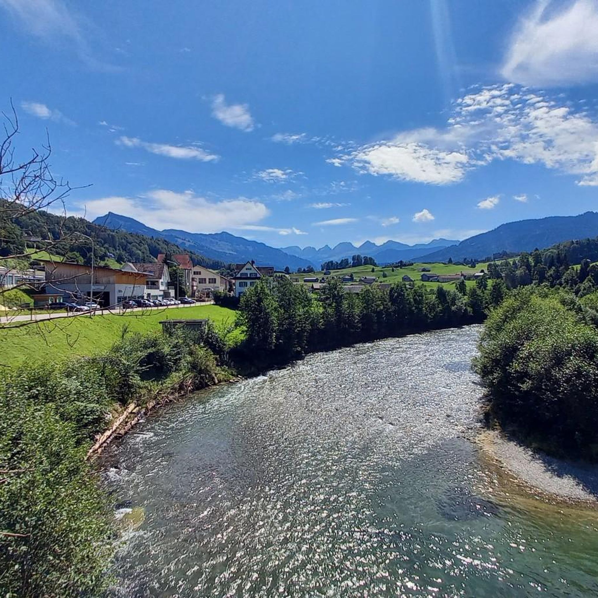
Road cycling routes around Ebnat Kappel are situated in the Toggenburg region of Switzerland, characterized by diverse terrain and significant elevation changes. The area features challenging mountain passes and more moderate routes through valleys like the Thur Valley. Roads are generally well-paved, with some routes including unpaved segments. This landscape offers varied cycling experiences with views of the Alpstein Range and Säntis mountain.
Best road cycling routes around Ebnat Kappel
- The most popular road cycling route is Thur bridge –…
Last updated: August 20, 2026
4.3
(8)
134
riders
52.5km
02:28
560m
560m
Moderate road ride. Good fitness required. Mostly well-paved surfaces and easy to ride.
4.5
(2)
87
riders
58.8km
02:53
760m
760m
Moderate road ride. Good fitness required. Mostly well-paved surfaces and easy to ride.

Sign up for free
33
riders
39.1km
02:04
670m
670m
Moderate road ride. Good fitness required. Mostly well-paved surfaces and easy to ride.
5.0
(1)
32
riders
28.6km
01:29
440m
440m
Moderate road ride. Good fitness required. Mostly well-paved surfaces and easy to ride.
26
riders
49.1km
02:24
660m
660m
Moderate road ride. Good fitness required. Some segments of this route may be unpaved and difficult to ride.
Get access to more routes and recommendations from other explorers.
Sign up for free
Already have an account?
Our route recommendations are based on thousands of hikes, rides, and runs completed by other people on komoot.
Start today with a free account
Your next adventure awaits.
Login or Signup

Other adventures around Ebnat Kappel


Tips from the Community

Historic village center
4
0

Lichtensteig is the only historic small town in Toggenburg. It was founded around 1228 by the Counts of Toggenburg and is picturesquely situated on a rocky spur above the Thur river. The well-preserved old town with its arcades, narrow alleys, and burgher houses is under national protection and received the Wakker Prize in 2023 for its exemplary townscape preservation. In the Middle Ages, Lichtensteig was an important market town and, from 1468 to 1798, the administrative seat of the bailiff of the Abbey of St. Gallen. Worth seeing are the old town, the ruins of Neu-Toggenburg above the town, the Toggenburg Museum, as well as the numerous cafés, small shops, and cultural events such as the Lichtensteig Jazz Days. Historically interesting is also the fact that the Toggenburger Bank, founded in 1863 – a predecessor of today's UBS – originated in Lichtensteig.
0
0

Great old wooden construction
0
0

From the Urnäscherstrasse you have a great view of the village of Hemberg, which is settled on the wide mountain ridge. On the lush green pastures in between, cows often graze, whose milk is processed into fine Appenzeller cheese. What an idyll!
1
0

Beautiful, but also very busy and well-trodden path along the northern shore of the Obersee.
0
0

Wonderful little town with many hidden little highlights. Simply beautiful😃
0
0
Small town with a well-preserved historic old town.
0
0
Frequently Asked Questions
How many road cycling routes are available around Ebnat-Kappel?
There are over 80 road cycling routes around Ebnat-Kappel, offering a wide range of options for different skill levels. This includes 6 easy routes, 52 moderate routes, and 25 difficult routes.
Are there road cycling routes suitable for beginners or families in Ebnat-Kappel?
Yes, Ebnat-Kappel offers routes suitable for beginners and families, particularly those through the scenic Thur Valley. These routes provide a more moderate cycling experience with diverse scenery, avoiding the most challenging climbs.
What kind of terrain can I expect on road cycling routes in Ebnat-Kappel?
The region offers diverse terrain, from challenging mountain passes with significant elevation changes to more moderate routes through valleys like the Thur Valley. While most roads are well-paved, some routes, especially difficult ones, may include unpaved segments.
What are some of the most scenic viewpoints or natural landmarks visible from the road cycling routes?
Road cycling routes often provide breathtaking views of prominent natural landmarks. Riders can expect to see Lake Walen, the majestic Alpstein Range, and the iconic Säntis mountain. Ascents like the Schwägalp Pass, for instance, showcase picturesque fields and stunning backdrops.
Are there challenging road cycling routes for experienced cyclists?
Absolutely. Ebnat-Kappel is known for its challenging ascents and mountain passes, such as the Vorder Höhi Pass and the Schwägalp Pass. These routes offer substantial elevation gain and are recognized as demanding rides, rewarding cyclists with panoramic vistas. An example is the difficult Abbey District of St. Gallen – Lichtensteig loop from Ebnat-Kappel, which features over 1,100 meters of ascent.
What do other road cyclists say about the routes in Ebnat-Kappel?
The road cycling routes in Ebnat-Kappel are highly rated by the komoot community, with an average score of 4.7 stars from more than 140 reviews. Over 4,000 road cyclists have used komoot to explore the area's varied terrain, often praising the diverse scenery and well-maintained roads.
Can I find circular road cycling routes in Ebnat-Kappel?
Yes, many routes in the Ebnat-Kappel area are designed as loops, allowing you to start and finish in the same location. For example, the popular Thur bridge – Lichtensteig loop from Ebnat-Kappel is a moderate 39.7 km circular route.
Are there any interesting attractions or places to explore near the road cycling routes?
Beyond cycling, the region offers several attractions. You might consider visiting the spectacular Seerenbach Falls, one of Switzerland's highest waterfalls. The Schwägalp area is also a great starting point for the aerial tramway to the top of Säntis for stunning views. For a more relaxed experience, the Sinnepark Ebnat-Kappel invites visitors to experience nature with all their senses.
What is the best season for road cycling in Ebnat-Kappel?
The best season for road cycling in Ebnat-Kappel is generally from spring to autumn. During these months, the weather is more favorable, and mountain passes are typically clear of snow, offering optimal conditions for exploring the diverse terrain and enjoying the panoramic views.
Are there any routes that pass by waterfalls or gorges?
Yes, the region features impressive natural sights. The Seerenbach Falls, one of Switzerland's highest, can be incorporated into longer cycling excursions. You might also find routes near the Ofenloch Gorge or the Brudertobel Cave with Waterfall, offering unique natural experiences.
How long are the road cycling routes around Ebnat-Kappel?
The routes vary significantly in length. For example, the Thur bridge – Lichtensteig loop from Ebnat-Kappel is about 39.7 km (24.7 miles), while the Abbey District of St. Gallen – Lichtensteig loop from Ebnat-Kappel extends to 86.9 km (54.0 miles), offering options for both shorter rides and full-day excursions.
Can I access road cycling routes in Ebnat-Kappel using public transport?
Ebnat-Kappel is situated within the Toggenburg region, which is generally well-connected by public transport in Switzerland. While specific route access points may vary, it's often possible to reach starting points for cycling tours via train or bus services, allowing for flexible travel without a car.
Most popular routes around Ebnat Kappel
Most popular attractions around Ebnat Kappel

Get inspired with the komoot mobile app


Explore more
Browse the best Road cycling routes in other regions.
