The best walks and hikes around Beàrnaraigh Mòr
4.7
(76)
342
hikers
8
hikes
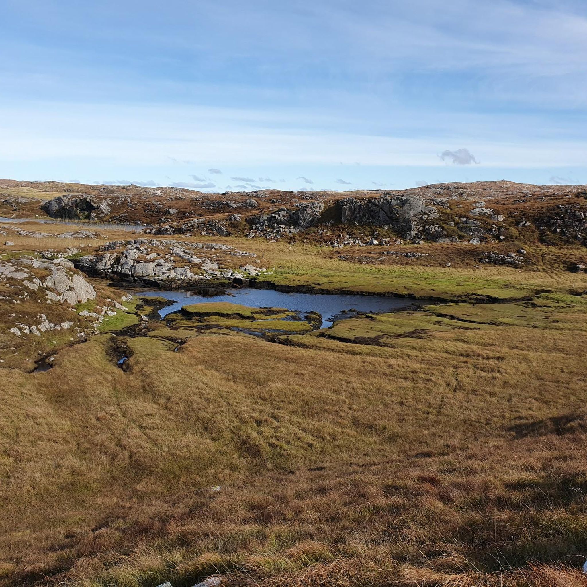
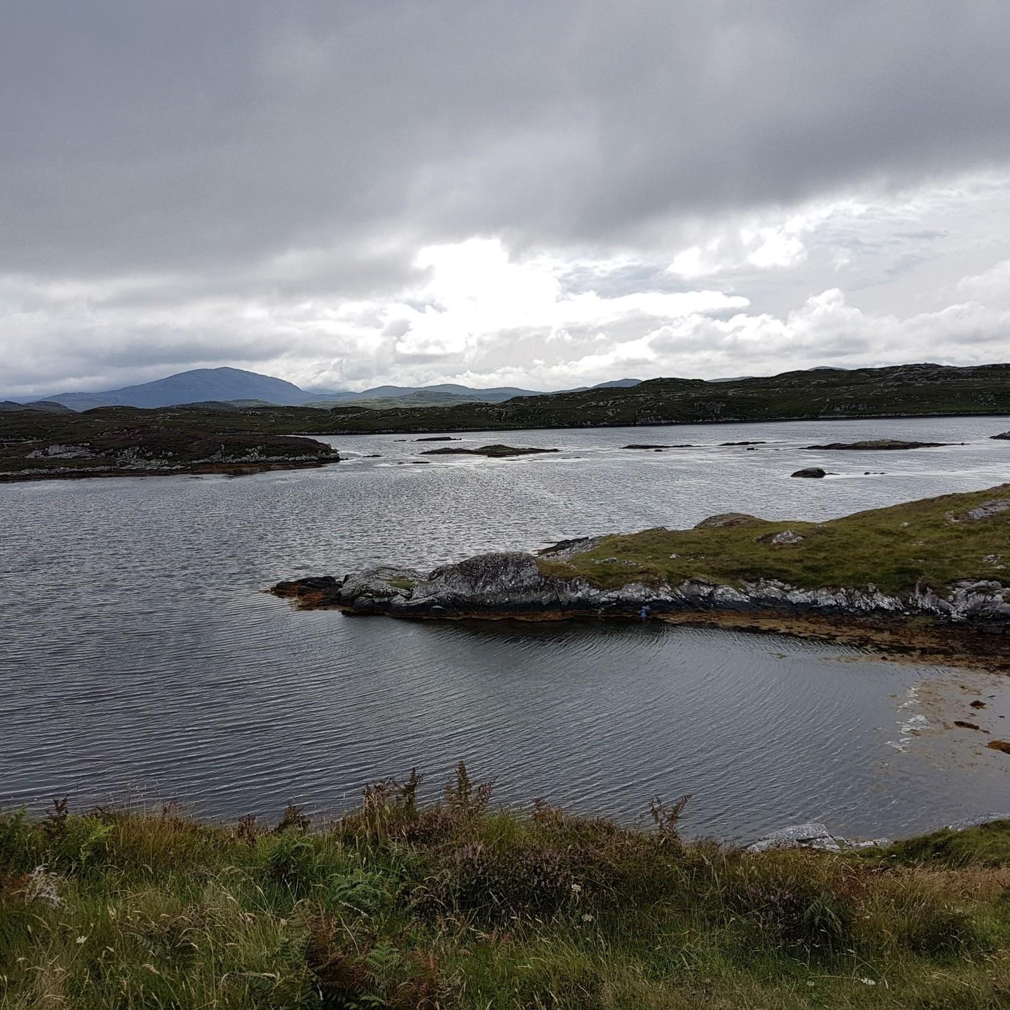
Hiking around Beàrnaraigh Mòr offers diverse landscapes, from expansive white sand beaches and fertile machair grasslands to low-lying hills. The island features a mix of coastal paths, backed by high dunes, and gentle ascents to viewpoints. Its compact size allows for varied routes that combine shoreline exploration with panoramic vistas over the surrounding waters and islands.
Best hiking trails around Beàrnaraigh Mòr
- The most popular hiking route is Breaclete & Bostadh Beach loop on Great Bernera — Outer Hebrides,…
Last updated: June 30, 2026
4.6
(15)
72
hikers
10.2km
02:44
110m
110m
Embark on the Bhaltos Peninsula Loop, a moderate hike covering 6.3 miles (10.2 km) with an elevation gain of 373 feet (114 metres), typically taking 2 hours and 43 minutes.…
4.6
(12)
55
hikers
11.5km
03:06
150m
150m
The Breaclete & Bostadh Beach loop offers a moderate hiking experience across 7.1 miles (11.5 km), with an elevation gain of 494 feet (151 metres), typically completed in 3 hours…

Sign up for free
4.5
(11)
78
hikers
3.17km
00:49
20m
20m
Easy hike. Great for any fitness level. Easily-accessible paths. Suitable for all skill levels.
4.7
(15)
41
hikers
12.0km
03:40
230m
230m
Moderate hike. Good fitness required. Mostly accessible paths. Sure-footedness required.
4.8
(9)
30
hikers
7.08km
01:57
120m
110m
Easy hike. Great for any fitness level. Easily-accessible paths. Suitable for all skill levels.
Get access to more routes and recommendations from other explorers.
Sign up for free
Already have an account?
Our route recommendations are based on thousands of hikes, rides, and runs completed by other people on komoot.
Start today with a free account
Your next adventure awaits.
Login or Signup
Popular around Beàrnaraigh Mòr
Tips from the Community


Reconstruction of an Iron Age house
3
0
The current cemetery was built sometime after 1878, when the villagers were resettled elsewhere on the island. Prior to that, the cemetery was located at Little Bernera, which meant transporting the remains across the Kyle by boat. The wall surrounding the cemetery was built from stones from the nearby cleared houses. The first burial took place in 1906, and the area has been expanded twice.
3
0

You cross the Carloway Stone Bridge: a sturdy 19th-century remnant, no longer a major function, but a dignified support for the old A858. Its heritage is so significant that it has been protected as a Category B monument since 1993.
0
0

Thanks for pointing out this as a highlight: there wasn't one on site! I would have thought it was a discarded dresser. Inside (apart from the cash register), there's a fun mix: drink bottles, T-shirts for children aged 7-8, and keychains with a scrap of Tweet fabric. It was so exotic (and a change from the boring walk from one stone circle to the next), I'll gladly give it a thumbs up.
2
0

Unlike other stone circles, the Stones of Callanish, or "Calanais" in Gaelic, on the Isle of Lewis are not evenly hewn, giving each stone its own unique character. Furthermore, Callanish is not just a simple circle, but several interwoven geometric shapes, with a large, four-and-a-half-meter-high monolith at its center. A true stone giant. The surrounding standing stones are shorter, so it almost appears as if it rises toward the center.
5
1
Unlike other stone circles, the Stones of Callanish, or "Calanais" in Gaelic, on the Isle of Lewis are not evenly hewn, giving each stone its own unique character. Furthermore, Callanish is not just a simple circle, but several interwoven geometric shapes, with a large, four-and-a-half-meter-high monolith at its center. A true stone giant. The surrounding standing stones are shorter, so it almost appears as if it rises toward the center.
4
1
You'll feel like you've stepped back in time and experienced life in a typical small-scale farming community of the last century. You can observe traditional crafts, including the weaving of the famous Harris Tweed. You can purchase souvenirs of your visit in the small shop and enjoy delicious homemade food in the cafeteria. https://www.gearrannan.com/
6
0
Frequently Asked Questions
What kind of terrain can I expect on hiking trails in Beàrnaraigh Mòr?
Beàrnaraigh Mòr offers a diverse landscape for hikers. You'll find expansive white sand beaches, fertile machair grasslands, and low-lying hills. Trails often combine coastal paths backed by high dunes with gentle ascents to viewpoints, providing varied experiences from shoreline exploration to panoramic vistas.
Are there any easy hiking trails suitable for beginners or families in Beàrnaraigh Mòr?
Yes, Beàrnaraigh Mòr has several easy trails. For example, the Callanish Stones – Honesty Shed loop from Callanish is an easy 2.5-mile (4.0 km) path through open terrain. Another easy option is the Bosta Cemetery – Bostadh Iron Age Village loop from Little Bernera, which is about 4.4 miles (7.1 km) long. These routes are generally suitable for families and those looking for less strenuous walks.
What kind of wildlife might I see while hiking in Beàrnaraigh Mòr?
The island's diverse landscapes support a rich array of wildlife. You might spot common and Atlantic Grey seals, especially at low tide in Bays Loch and off West Beach. Otters are also present. Birdwatchers can look for mute swans, greylag geese, barnacle geese, ravens, grey herons, buzzards, and wading birds like redshank and oystercatcher. Rarer sightings include golden eagles and hen harriers, particularly in winter, and the elusive corncrake in the machair.
Are there any circular walks available in Beàrnaraigh Mòr?
Yes, there are several circular walks. A popular option is the Breaclete & Bostadh Beach loop on Great Bernera — Outer Hebrides, which is a moderate 7.1-mile (11.5 km) trail. Another is the Bhaltos Peninsula Loop, a moderate 6.3-mile (10.2 km) path offering coastal views. The island's compact size makes it ideal for creating rewarding circular routes.
What historical sites or landmarks can I explore on hikes in Beàrnaraigh Mòr?
Hiking trails often lead past significant historical sites. You can visit the Callanish Stones, an ancient standing stone circle. The Gearrannan Blackhouse Village offers a glimpse into traditional island life. Other notable sites include the Bronze Age Clach Maolrithe standing stone, remains of a Pictish square burial cairn at Ardmaree, and the enigmatic Chair Stone at Scalabraig.
What do other hikers enjoy most about hiking in Beàrnaraigh Mòr?
The area is highly rated by the komoot community, with an average score of 4.7 stars from over 60 reviews. Hikers frequently praise the stunning white sand beaches, the unique machair grasslands, and the panoramic views from the low-lying hills. The tranquility and diverse natural beauty are often highlighted as key attractions.
Is Beàrnaraigh Mòr suitable for dog-friendly hikes?
Many trails in Beàrnaraigh Mòr are suitable for dogs, offering open spaces and coastal walks. However, it's important to keep dogs under control, especially when walking through machair grasslands where ground-nesting birds and other wildlife are present, and near crofting land where livestock may be grazing. Always follow the Scottish Outdoor Access Code.
Are there any viewpoints offering panoramic vistas on the island?
Yes, several low-lying hills on Beàrnaraigh Mòr provide impressive panoramic views. Beinn Shlèibhe, the island's highest point, offers spectacular vistas over the Sound of Pabbay, St Kilda on the western horizon, and the mountains of mainland Wester Ross. Cnoc Bhuirgh (Borve Hill) and Beinn a' Chlaidh also offer rewarding views and can be incorporated into hiking routes.
What is the best time of year to go hiking in Beàrnaraigh Mòr?
The best time to hike in Beàrnaraigh Mòr is generally from late spring to early autumn (May to September). During these months, the weather is milder, the days are longer, and the machair grasslands are vibrant with wildflowers. Summer offers the best chance for clear skies and warmer temperatures, ideal for enjoying the beaches and coastal paths.
Are there facilities like cafes or pubs near the hiking trails in Beàrnaraigh Mòr?
Beàrnaraigh Mòr is a small island with limited facilities. While there isn't a wide selection of cafes or pubs directly on every trail, you can find amenities in the main settlement areas. It's advisable to plan ahead and carry sufficient supplies, especially for longer hikes, as options may be scarce.
How many hiking trails are available in Beàrnaraigh Mòr?
There are 8 hiking routes recorded in Beàrnaraigh Mòr on komoot, offering a range of options from easy to moderate difficulty. These trails allow you to explore the island's diverse landscapes and attractions.
Is public transport available to access hiking trailheads in Beàrnaraigh Mòr?
Public transport options on Beàrnaraigh Mòr are limited. While there are some local bus services connecting the island to North Uist, direct access to all trailheads by public transport may not be possible. It's often best to check local bus timetables in advance or consider using a car for more flexibility in reaching starting points.
Most popular routes around Beàrnaraigh Mòr
Most popular attractions around Beàrnaraigh Mòr

Get inspired with the komoot mobile app


Explore more
Browse the best Hikes in other regions.
