The best mountain hikes in Baden-Württemberg
4.7
(181)
851
hikers
195
hikes
Mountaineering in Baden-Württemberg offers a diverse landscape for outdoor enthusiasts. The region is characterized by dense forests of the Black Forest, the unique geological formations and juniper heaths of the Swabian Alb, and dramatic rock formations in the Danube Valley. While not featuring Alpine peaks, the state includes over 2,000 mountains, with Feldberg reaching 4,901 ft (1,494 m), providing varied terrain for mountain hikes, rock climbing, and via ferratas.
Best mountaineering routes in Baden-Württemberg
- The most popular mountaineering route is…
Last updated: October 5, 2026
4.7
(30)
77
hikers
Hard mountaineering route. Good fitness required. Sure-footedness, sturdy shoes and alpine experience required.
4.5
(16)
43
hikers
10.9km
03:46
550m
550m
Hard mountaineering route. Good fitness required. Sure-footedness, sturdy shoes and alpine experience required.

5.0
(3)
29
hikers
10.5km
03:05
300m
300m
Moderate mountaineering route. Good fitness required. Easily-accessible paths. Suitable for all skill levels.
5.0
(3)
17
hikers
Hard mountaineering route. Good fitness required. Sure-footedness, sturdy shoes and alpine experience required.
4.6
(5)
17
hikers
5.50km
02:03
290m
290m
Hard mountaineering route. Good fitness required. Sure-footedness, sturdy shoes and alpine experience required.
5.0
(6)
16
hikers
Hard mountaineering route. Good fitness required. Sure-footedness, sturdy shoes and alpine experience required.
5.0
(2)
8
hikers
Moderate mountaineering route. Great for any fitness level. Mostly accessible paths. Sure-footedness required.
10
hikers
13.0km
04:02
480m
480m
Moderate mountaineering route. Good fitness required. Mostly accessible paths. Sure-footedness required.
3.0
(1)
12
hikers
8.60km
02:45
360m
360m
Moderate mountaineering route. Good fitness required. Mostly accessible paths. Sure-footedness required.
4.7
(3)
12
hikers
15.5km
05:54
990m
990m
Hard mountaineering route. Very good fitness required. Mostly accessible paths. Sure-footedness required.
Get access to more routes and recommendations from other explorers.
Already have an account?
Our route recommendations are based on thousands of hikes, rides, and runs completed by other people on komoot.
Start today with a free account
Your next adventure awaits.
Popular around Baden-Württemberg
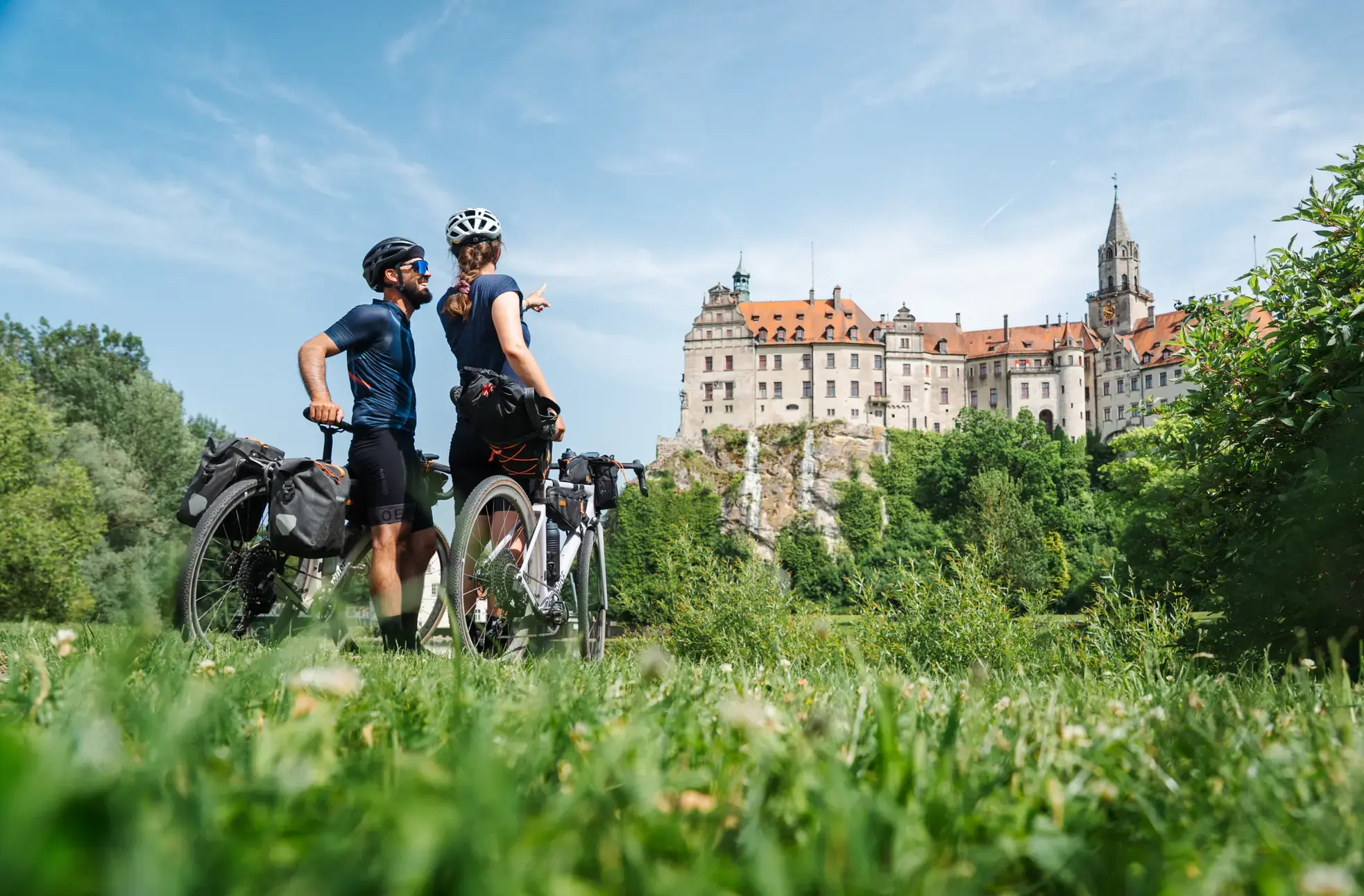
Castles, Alps and Lake Constance – gravel days on the Hohenzollern Cycle Route
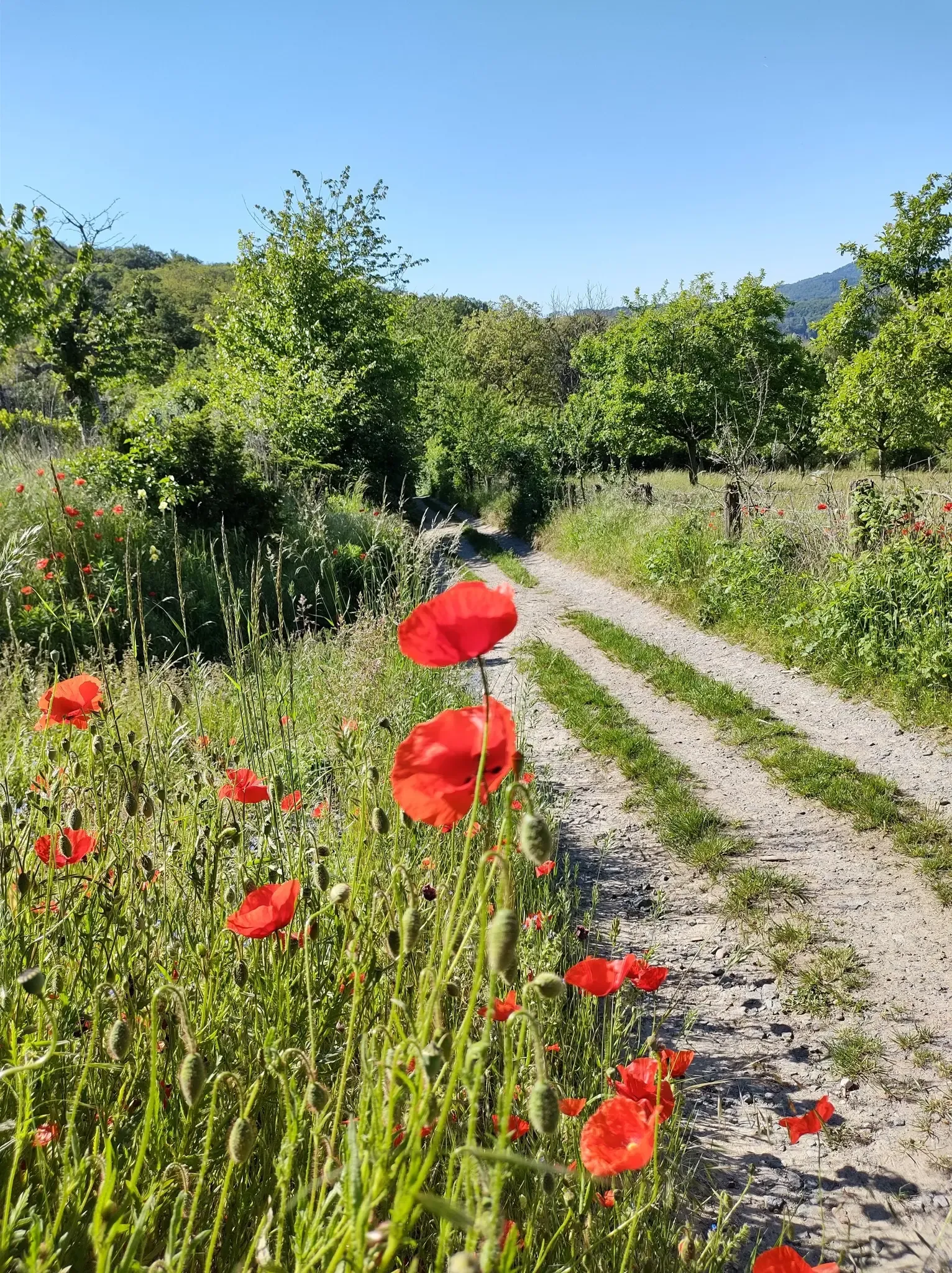
Bergsträßer Blütenweg – Between vines and flowers
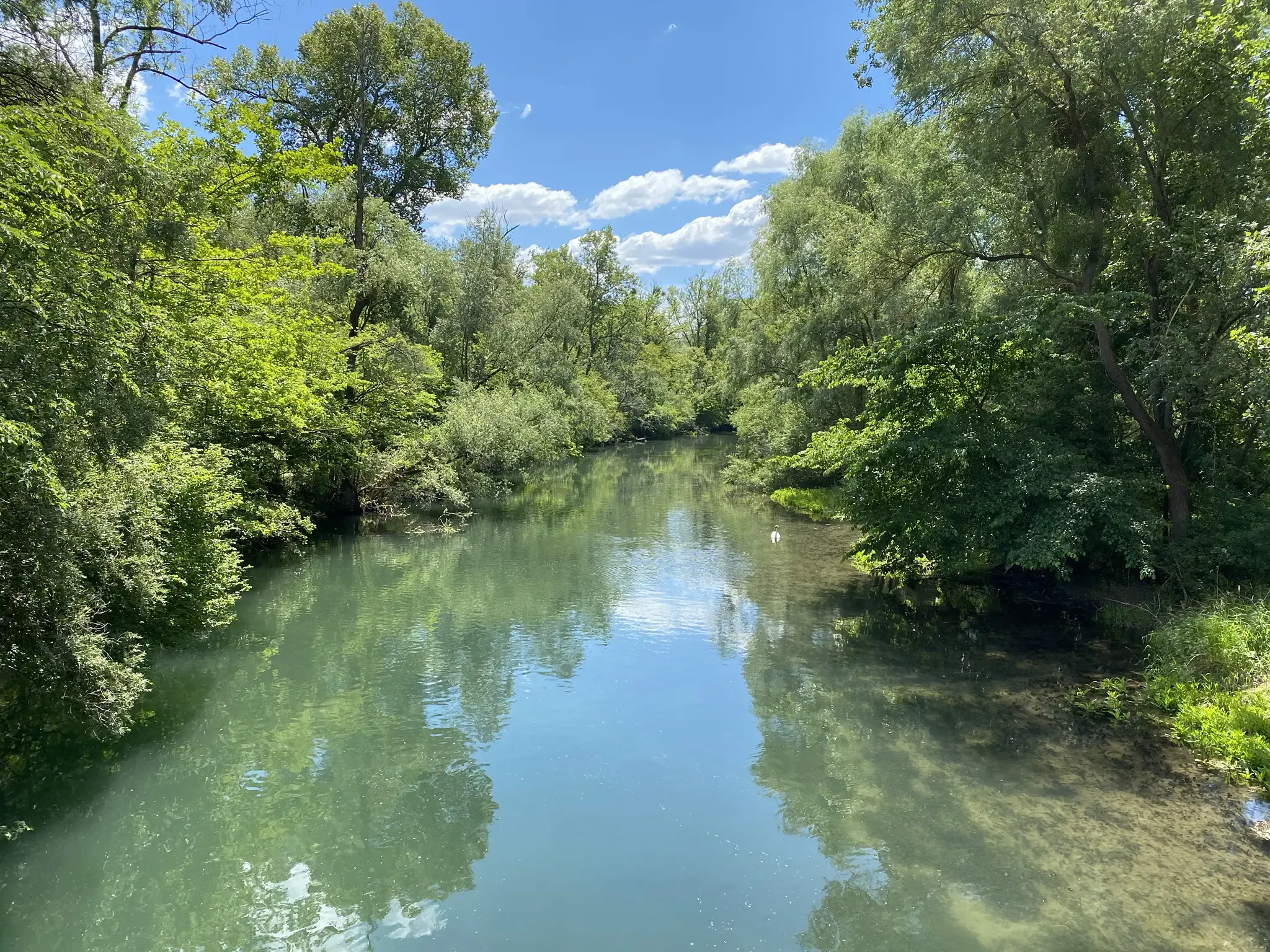
Rheinauenweg hiking path – Jungle tour for water rats
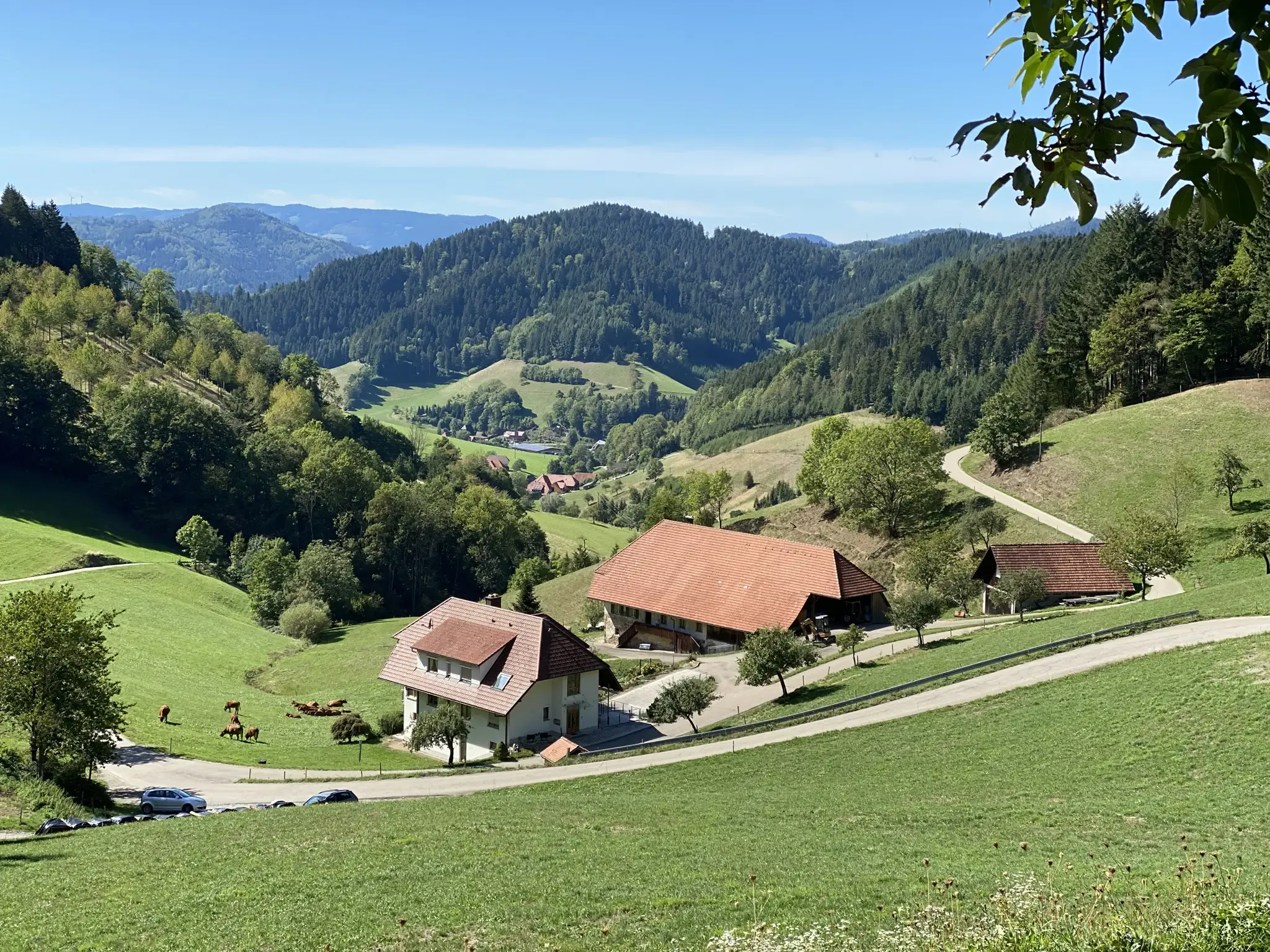
Kinzigtäler Jakobusweg – With Jakob through the Black Forest
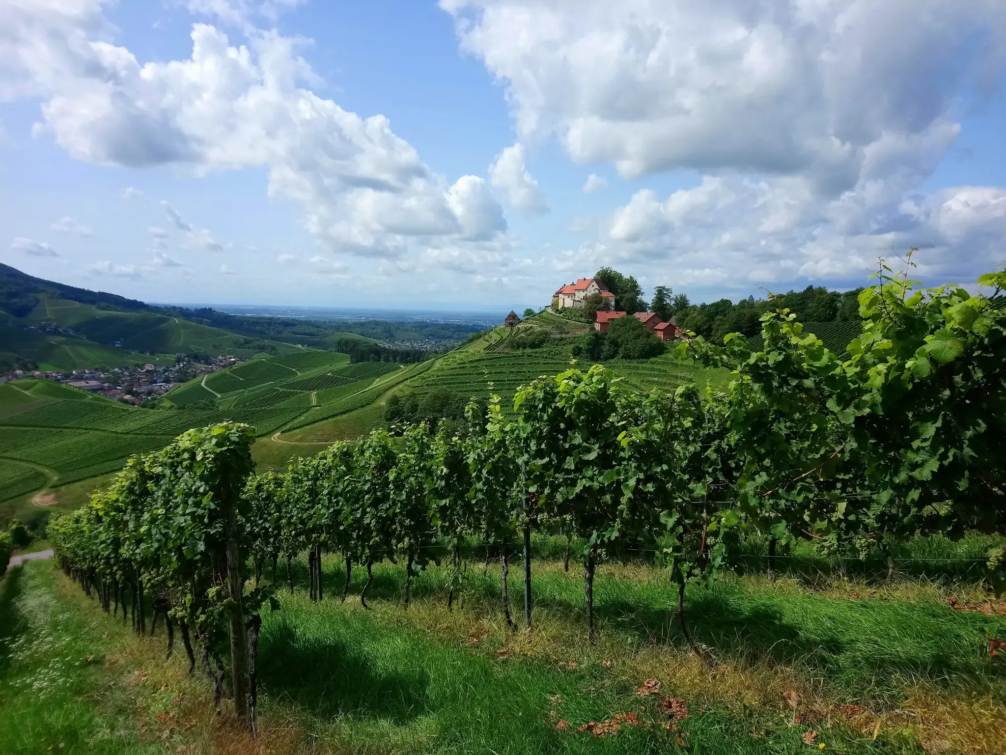
Ortenau Wine Trail – A glass of red and white, please

Main-Danube-Lake Constance Trail – Along iconic waters
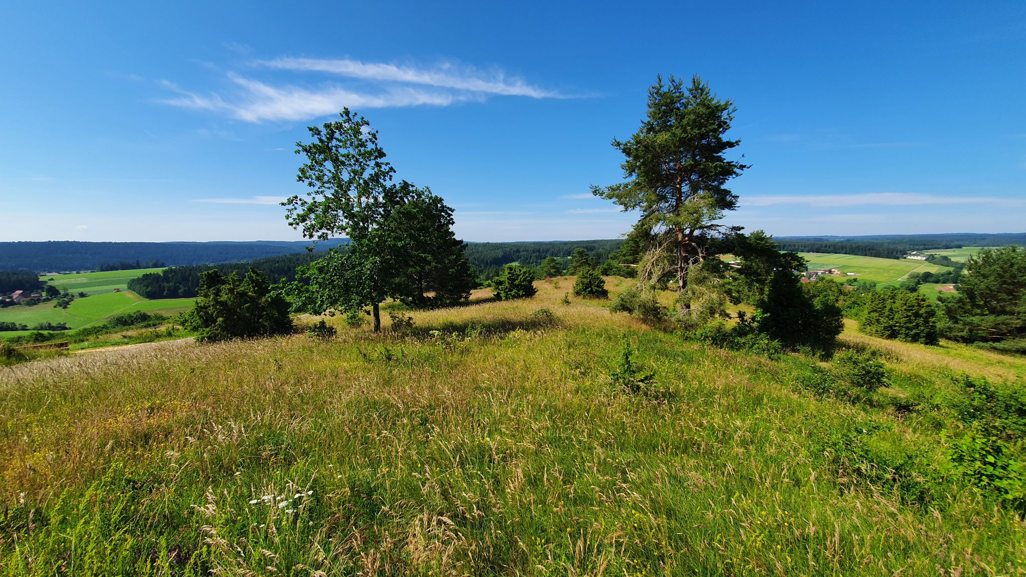
Germany's Gäurandweg – A ramble through the countryside
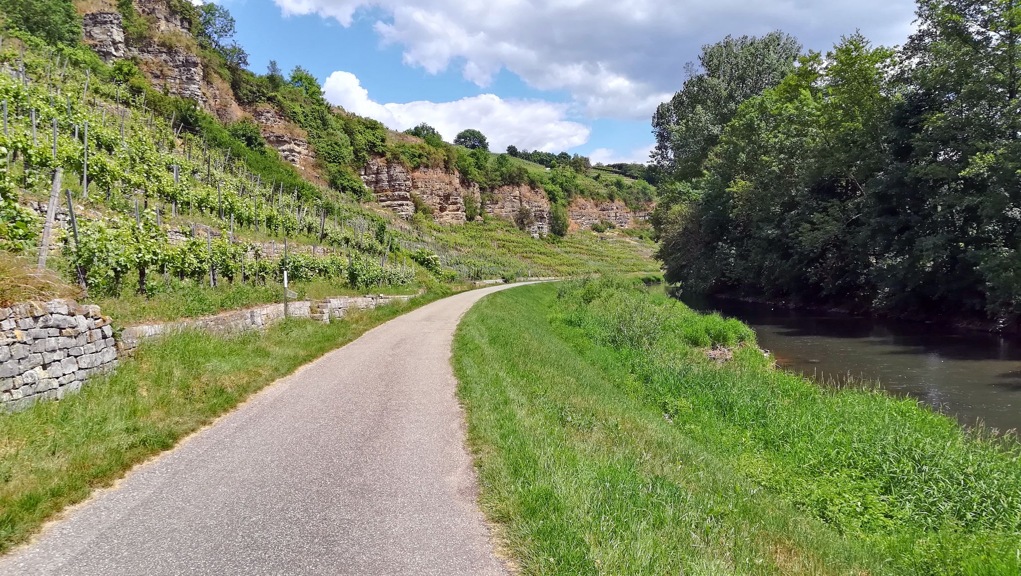
The Enztal cycle path – From the Black Forest to the Neckar River

Germany's Hohenlohe-Ostalb Cycle Route – From idyllic valleys to the Swabian Alb
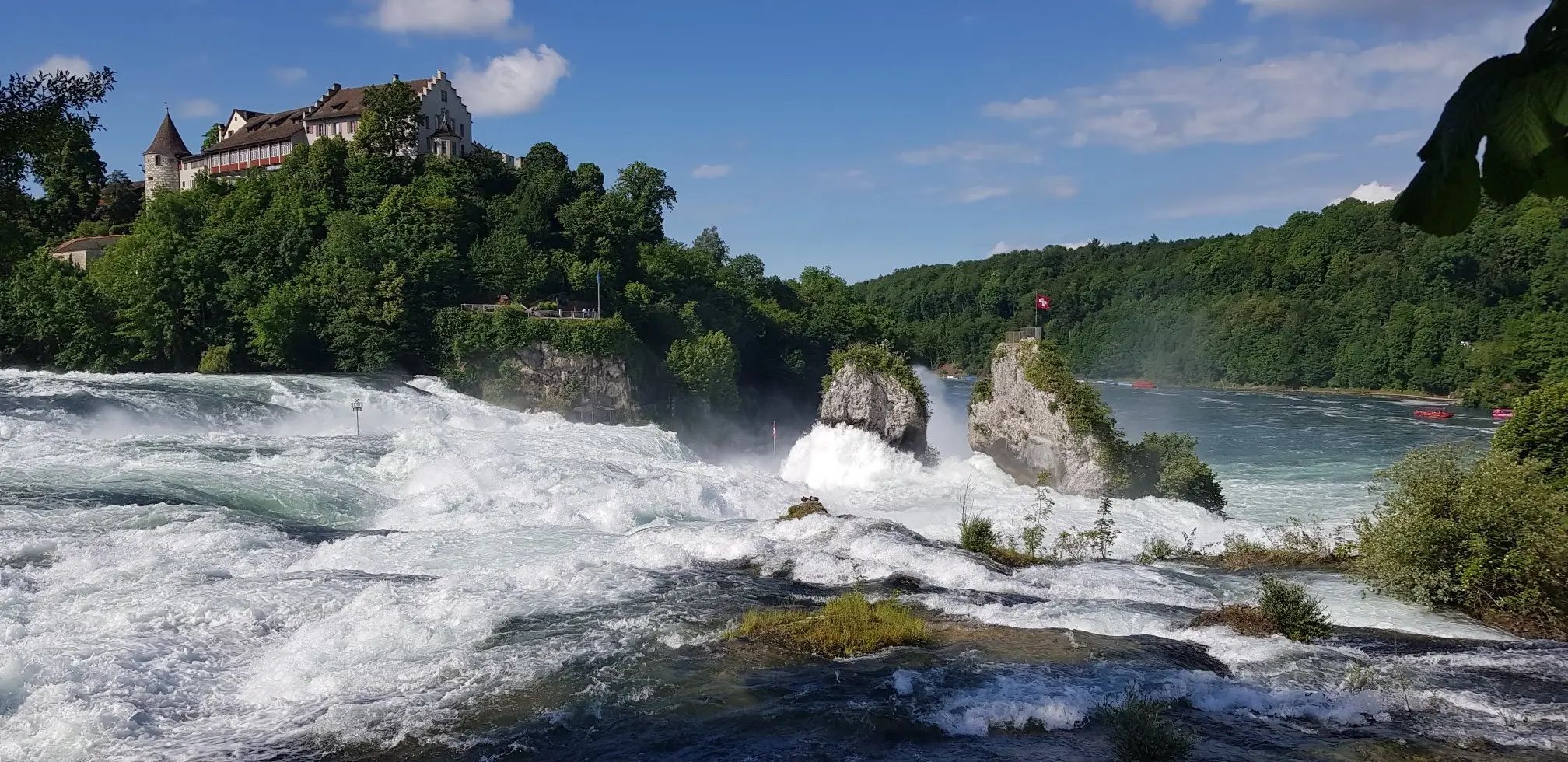
Hochrhein-Höhenweg – Forests and rivers from Germany to Switzerland
Other adventures in Baden-Württemberg


Tips from the Community

Nature park moments mark a viewpoint with a beautiful panorama
3
0
Directly on the summit of Feldberg in the Black Forest, not far from the older transmission tower on the Seebuck.
3
0
Commissioned in the summer of 2003 by the SWR.
3
0
which was put into operation in the summer of 2003
3
0
The Sender Feldberg is an 82-meter-high reinforced concrete transmission tower on the Feldberg in the Black Forest.
3
0
The Feldberg transmitter consists of two transmission masts
3
0

On a sunny day, you have a beautiful view from the Hornisgrinde - towards the north.
7
0
Frequently Asked Questions
How many mountaineering routes are available in Baden-Württemberg?
Baden-Württemberg offers a wide array of mountaineering experiences, with over 230 routes available. These range from moderate mountain hikes to more challenging ascents and climbing opportunities across diverse landscapes like the Black Forest and Swabian Alb.
What are the typical difficulty levels for mountaineering routes in Baden-Württemberg?
The routes in Baden-Württemberg cater to various skill levels. You'll find approximately 20 easy routes, 165 moderate routes, and 48 difficult routes, ensuring there's a suitable challenge for every mountaineer.
What do other mountaineers enjoy about the routes in Baden-Württemberg?
The komoot community highly rates the mountaineering routes in Baden-Württemberg, with an average score of 4.8 stars from over 170 reviews. Users frequently praise the region's diverse terrain, stunning panoramic views, and the well-maintained trails through dense forests and unique rock formations.
Are there family-friendly mountaineering routes in Baden-Württemberg?
Yes, Baden-Württemberg offers several family-friendly options. For a moderate, shorter outing, consider the Bismarck Tower on Hornisgrinde – Mummelsee loop from Hornisgrinde-Biberkessel. This 4.3 km route takes you through scenic areas and past the picturesque Mummelsee, a popular lake in the Black Forest.
Can I find mountaineering routes that feature waterfalls in Baden-Württemberg?
Absolutely! The Black Forest is particularly known for its waterfalls. A notable route is the Edelfrauengrab Waterfalls – Edelfrauengrab Waterfalls loop from Gottschlägtal - Karlsruher Grat, which guides you through the scenic Gottschlägtal and past the impressive Edelfrauengrab Waterfalls.
Are there circular mountaineering routes in Baden-Württemberg?
Many mountaineering routes in Baden-Württemberg are designed as circular tours, allowing you to start and end at the same point. For example, the challenging Belchen Summit – Belchenhaus loop from Nonnenmattweiher offers a rewarding circular experience with panoramic views from Belchen.
What kind of natural features and landmarks can I expect to see along the routes?
Baden-Württemberg's routes traverse diverse landscapes. In the Black Forest, you'll encounter dense forests and lakes like Feldsee and Lake Sankenbach. The Swabian Alb features juniper heaths, impressive rock formations, and caves. You might also discover viewpoints offering expansive vistas, such as the Rosskopf Tower.
Are there mountaineering routes with views of the Alps?
Yes, on clear days, several higher peaks in Baden-Württemberg offer views extending to the Alps. The Belchen Summit – View of the Alps from Belchen loop from Wieden is a moderate route specifically known for its potential to offer these spectacular long-distance views.
Are there any routes that explore caves or unique rock formations?
The Swabian Alb and Danube Valley are particularly rich in unique geological formations. The Teufelsmühle Observation Tower – Teufelskammern Sandstone Caves loop from Loffenau is a moderate route that allows you to explore the fascinating Teufelskammern Sandstone Caves.
What is the best time of year for mountaineering in Baden-Württemberg?
The best time for mountaineering in Baden-Württemberg is generally from spring to autumn (April to October) when the weather is milder and trails are clear. However, some areas, particularly the higher elevations of the Black Forest, can offer beautiful winter hiking experiences, though conditions may require appropriate gear and caution.
Are there any routes that are particularly challenging for experienced mountaineers?
For experienced mountaineers seeking a challenge, the Belchen Summit – Belchenhaus loop from Münstertal is a difficult 15 km route with significant elevation gain, offering a strenuous yet rewarding ascent to the Belchen summit.
Can I access mountaineering routes using public transport in Baden-Württemberg?
Many regions in Baden-Württemberg, especially popular hiking areas like the Black Forest, have good public transport connections. It's advisable to check local bus and train schedules for specific trailheads, as accessibility can vary. For broader information on nature experiences in the region, you can visit visit-bw.com.
Most popular routes in Baden-Württemberg
Most popular attractions in Baden-Württemberg

Get inspired with the komoot mobile app


Explore more
Browse the best Mountain Hikes & Routes in other regions.
