The best volcano hikes and walks in Baden-Württemberg
4.5
(5005)
23,251
hikers
31
hikes
Volcano hiking trails in Baden-Württemberg offer a diverse landscape for outdoor enthusiasts, characterized by the volcanic origins of regions like Kaiserstuhl and parts of the Swabian Alb. The state features rolling hills, deep gorges, and dramatic rock formations, alongside extensive forests and sun-drenched vineyards. This varied topography provides a wide range of terrain elevation and difficulty for hikers.
Best volcano hiking trails in Baden-Württemberg
- The most popular volcano hiking route is Vogelsang Pass Viewpoint – Haselschacher Hill loop from Kaiserstuhl…
Last updated: October 8, 2026
4.8
(207)
730
hikers
14.2km
04:29
510m
510m
Moderate hike. Good fitness required. Mostly accessible paths. Sure-footedness required.
4.7
(110)
424
hikers
Moderate hike. Good fitness required. Easily-accessible paths. Suitable for all skill levels.

4.7
(35)
136
hikers
16.7km
04:42
350m
350m
Moderate hike. Good fitness required. Easily-accessible paths. Suitable for all skill levels.
4.6
(32)
125
hikers
Easy hike. Great for any fitness level. Easily-accessible paths. Suitable for all skill levels.
4.9
(34)
105
hikers
6.29km
01:51
190m
190m
Easy hike. Great for any fitness level. Easily-accessible paths. Suitable for all skill levels.
Get access to more routes and recommendations from other explorers.
Already have an account?
Our route recommendations are based on thousands of hikes, rides, and runs completed by other people on komoot.
Start today with a free account
Your next adventure awaits.
Popular around Baden-Württemberg

Volcano hikes in Freiburg District
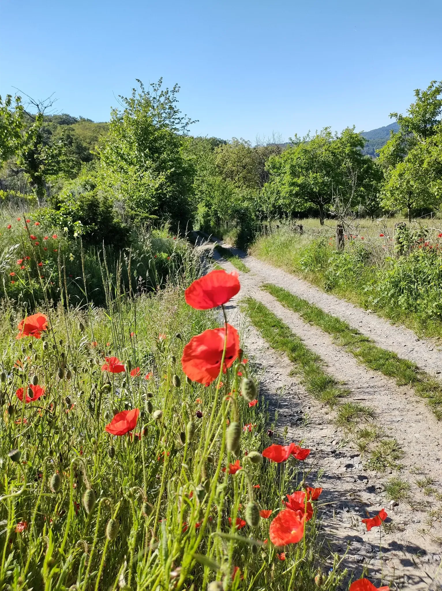
Bergsträßer Blütenweg – Between vines and flowers
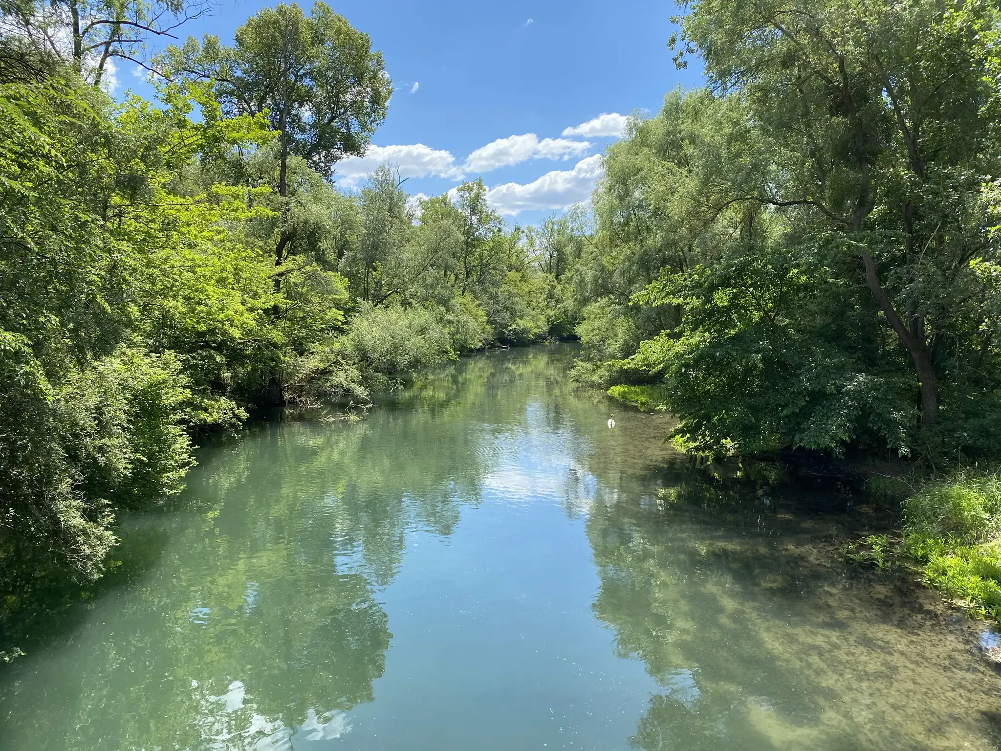
Rheinauenweg hiking path – Jungle tour for water rats
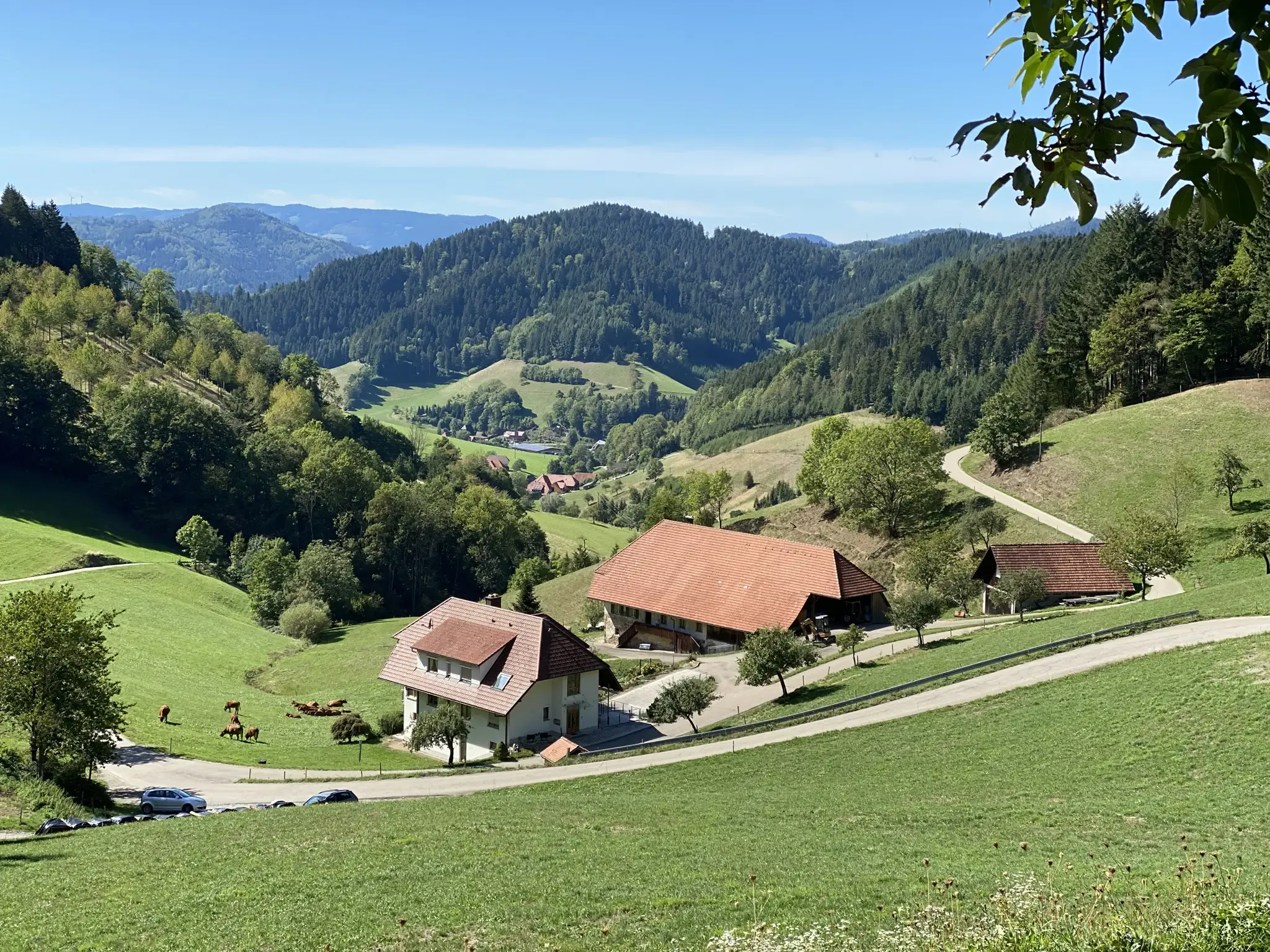
Kinzigtäler Jakobusweg – With Jakob through the Black Forest
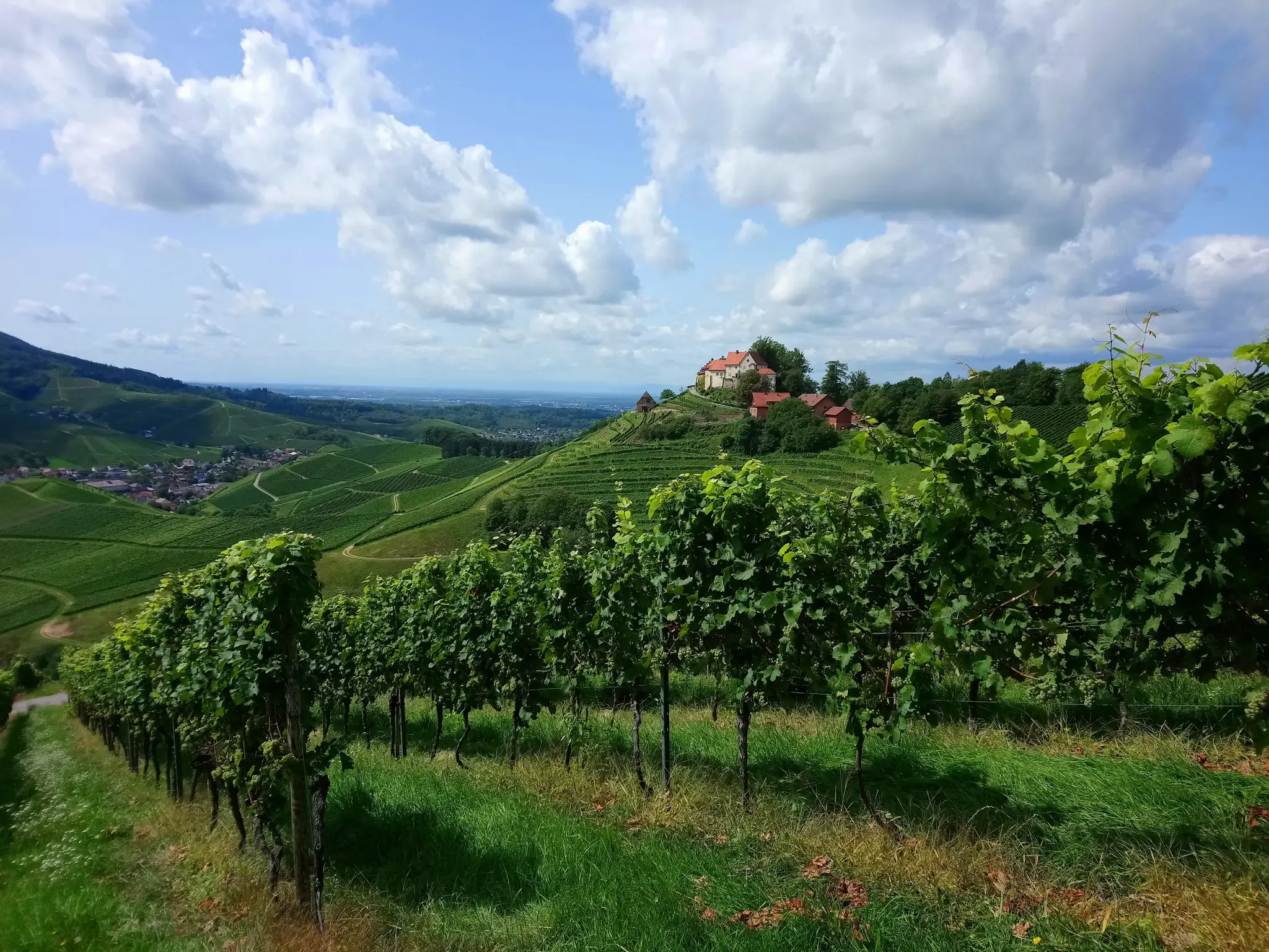
Ortenau Wine Trail – A glass of red and white, please

Main-Danube-Lake Constance Trail – Along iconic waters
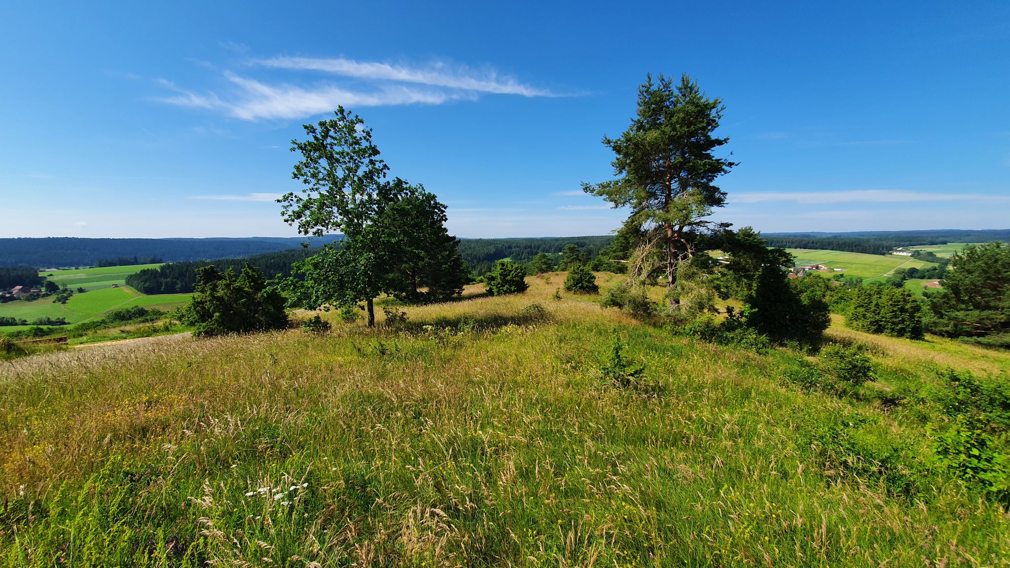
Germany's Gäurandweg – A ramble through the countryside
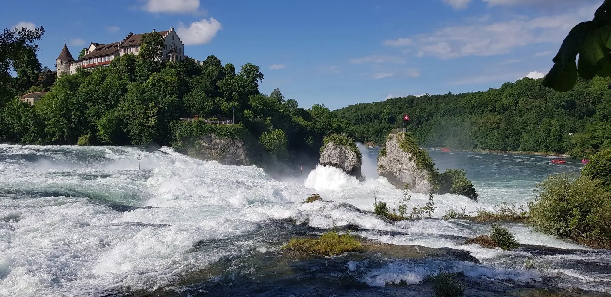
Hochrhein-Höhenweg – Forests and rivers from Germany to Switzerland

The Romantic Road – To the Pearls of Southern Germany
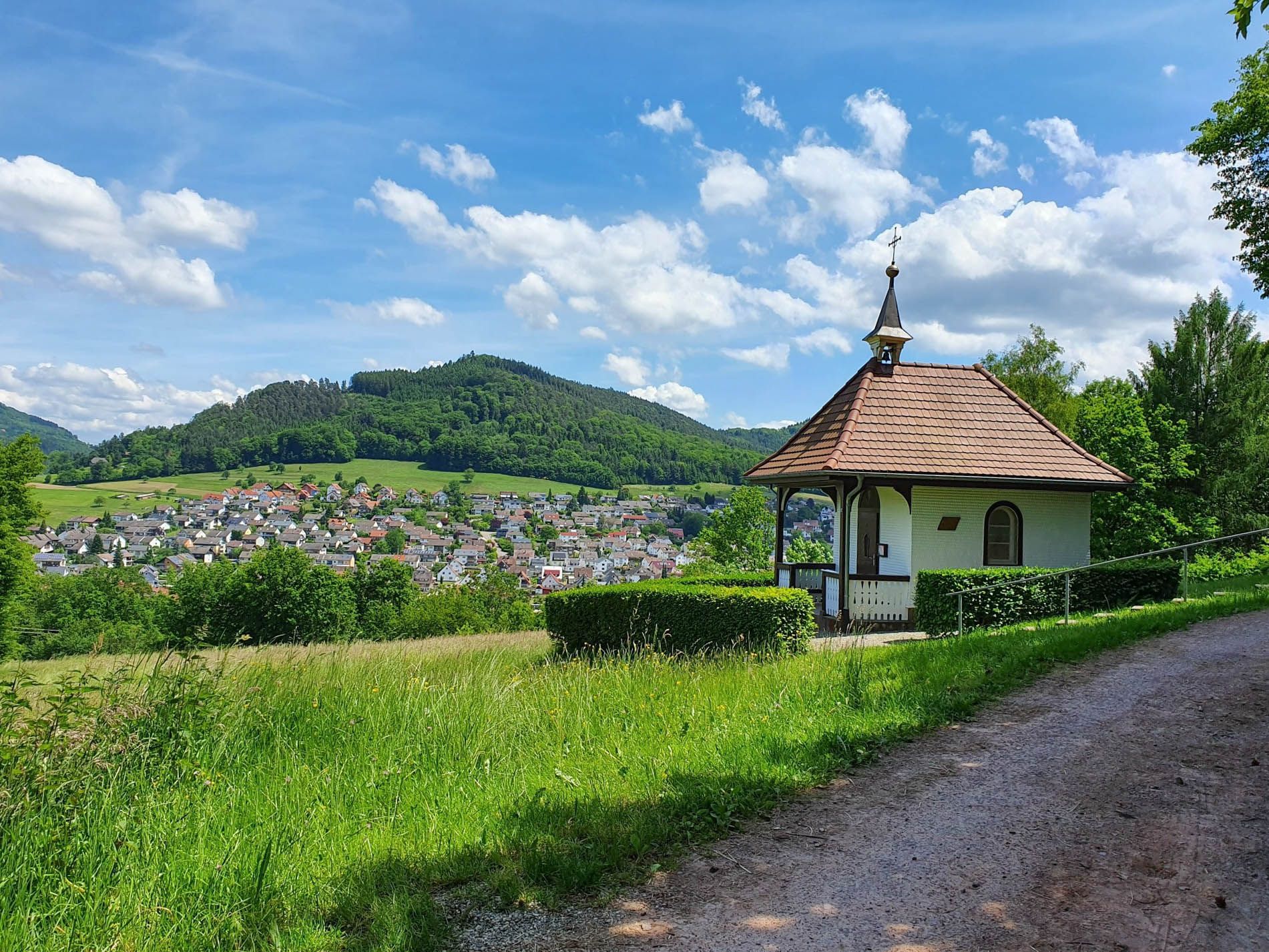
Rottweil–Lahr Black Forest Trail – Hike between forests and meadows
Other adventures in Baden-Württemberg


Tips from the Community

For mountain bikers, there are some great trails / hollow paths up to the pass here.
0
0

Beautiful place with a great view over the mountain ridges and the Rhine plain.
0
0

Beautiful flower meadow
1
0

A beautiful hollow path leading from the Liliental valley into the forest to the north. Numerous nesting holes can be seen in the loess walls, but I haven't encountered any bee-eaters in the forest.
2
0

Good "Besen" restaurant. Also offers tarte flambée. Overnight accommodations in holiday apartments.
0
1
Fritz Keller's fine winery. Stunning architecture
0
0
The vineyards are mostly grown on the ground, not on the steep slopes
0
0
The colorful western green lizard lives in only a few places in Germany, including the Kaiserstuhl. It is becoming increasingly common there – for two reasons: while some animals are suffering from the increasing heat, a particularly rare and colorful species thrives in the Kaiserstuhl and has rapidly multiplied there. The green lizard is a climate change winner because it is a heat-loving species. The green lizard needs places where it can bask in the sun and find food. Accordingly, it requires grassy stands with old grass, where, for example, grasshoppers can live. The green lizard also needs cover to hide from potential predators. The green lizard also uses the sun's warmth to incubate its eggs.
0
0
Frequently Asked Questions
How many volcano hiking trails are available in Baden-Württemberg?
Komoot offers over 25 volcano hiking trails in Baden-Württemberg, catering to various skill levels. You'll find a good mix of easy, moderate, and challenging routes to explore the region's unique volcanic landscapes.
What kind of terrain can I expect on volcano hikes in Baden-Württemberg?
The volcano hikes in Baden-Württemberg, particularly around the Kaiserstuhl region, often feature rolling hills, vineyards, and former volcanic cones. You can expect well-maintained paths, sometimes steep ascents and descents through terraced vineyards, and panoramic views from elevated points. The trails are generally well-marked, offering a mix of open landscapes and forested sections.
Are there any easy volcano hikes suitable for beginners or families?
Yes, there are several easy volcano hikes perfect for beginners or families. For example, the Weingut Fritz Keller – View of Oberbergen Vineyards loop from Kaiserstuhl is a gentle 4.9 km route. Another accessible option is the Weingut Fritz Keller – Schelinger Weide Farm loop from Kaiserstuhl, which is around 6.3 km and offers pleasant scenery.
Can I find circular volcano hiking routes in Baden-Württemberg?
Many of the volcano hiking trails in Baden-Württemberg are designed as circular routes, allowing you to start and end at the same point. An excellent moderate circular option is the Vogelsang Pass Viewpoint – Haselschacher Hill loop from Kaiserstuhl, offering diverse views over 12 km.
What are some notable landmarks or viewpoints along the volcano trails?
The volcano trails in Baden-Württemberg, especially in the Kaiserstuhl area, offer numerous scenic viewpoints over the Rhine Valley and the Black Forest. You'll often encounter views of picturesque vineyards and charming villages. While not directly on the volcanic trails, the region also boasts impressive natural monuments like the Urach Waterfall and the dramatic Ravenna Gorge, which are worth exploring nearby.
What do other hikers enjoy most about volcano hiking in Baden-Württemberg?
The komoot community highly rates the volcano hikes in Baden-Württemberg, with an average score of 4.5 stars from over 4,300 ratings. Hikers frequently praise the stunning panoramic views, the unique volcanic landscapes, and the opportunity to combine hiking with wine tasting experiences in regions like Kaiserstuhl. The well-maintained trails and diverse flora are also often highlighted.
Are there any moderate volcano hikes for more experienced hikers?
Yes, for those seeking a moderate challenge, there are several excellent options. The Oberrotweil Panorama Trail – View of Oberbergen Vineyards loop from Oberrotweil is a fantastic 15.6 km route with rewarding views. Another great choice is the Haselschacher Hill – View of Totenkopf loop from Ohrberg, covering about 12.5 km with varied terrain.
What is the best time of year to go volcano hiking in Baden-Württemberg?
The best time for volcano hiking in Baden-Württemberg is generally from spring to autumn. Spring offers blooming vineyards and pleasant temperatures, while autumn provides stunning fall foliage and harvest festivals. Summer is also popular, but it can be quite warm, especially in open vineyard areas. Winter hiking is possible, but some trails might be slippery or less accessible depending on snow conditions.
Are volcano hiking trails in Baden-Württemberg dog-friendly?
Many hiking trails in Baden-Württemberg, including those in volcanic regions, are dog-friendly. However, it's always recommended to keep your dog on a leash, especially in nature reserves, agricultural areas (like vineyards), and near livestock. Ensure you carry enough water for both yourself and your dog, as water sources might be limited on some routes.
Are there cafes or restaurants near the volcano hiking trails?
Yes, especially in the popular Kaiserstuhl region, you'll find numerous charming villages nestled among the vineyards. These villages often have traditional 'Straußenwirtschaften' (seasonal wine taverns), cafes, and restaurants where you can enjoy local cuisine and wines after your hike. It's a great way to experience the regional culture and refuel.
What kind of geological features can I observe on these volcanic trails?
On the volcano trails, particularly in the Kaiserstuhl, you can observe remnants of ancient volcanic activity. This includes unique soil compositions (like loess), basalt formations, and the characteristic terraced vineyards that follow the contours of the former volcanic cones. These features contribute to the region's distinct microclimate and fertile soil, ideal for viticulture.
Most popular routes in Baden-Württemberg
Most popular attractions in Baden-Württemberg

Get inspired with the komoot mobile app


Didn’t find what you were looking for?
Check out more Hikes throughout Baden-Württemberg below and find the perfect route in your destination.
Explore more
Browse the best Hikes in other regions.
