The best running trails in Hautes-Alpes
4.4
(644)
42,730
runners
2,267
runs
Jogging in Hautes-Alpes offers diverse terrain across the southern French Alps, characterized by high-altitude peaks, glacial valleys, and serene lakes. The region features extensive natural parks like Écrins National Park and Queyras Regional Natural Park, providing a range of running environments. Runners can find routes along the Durance riverbanks, through dense forests, and across mountain passes, catering to various fitness levels.
Best jogging routes in Hautes-Alpes
- The most popular jogging route is Ecrins Trail, a 21.3 miles (34.2 km)…
Last updated: July 7, 2026
4.0
(1)
150
runners
34.2km
05:23
1,870m
1,870m
Hard run. Very good fitness required. Sure-footedness, sturdy shoes and alpine experience required.
5.0
(1)
138
runners
12.3km
02:26
730m
730m
This difficult 7.6-mile (12.3 km) jogging loop in Queyras Regional Natural Park takes you to Lac Miroir and Lac Sainte-Anne.

Sign up for free
4.8
(4)
50
runners
11.2km
01:20
190m
190m
Jog this 7.0-mile (11.2 km) moderate loop trail along the Bay of Saint Michel, offering stunning views of Mont Saint-Michel.
3.5
(4)
65
runners
9.69km
01:03
20m
30m
Moderate run. Good fitness required. Mostly paved surfaces. Suitable for all skill levels.
4.5
(2)
53
runners
10.3km
01:17
230m
230m
Hard run. Good fitness required. Sure-footedness, sturdy shoes and alpine experience required.
5.0
(1)
49
runners
Hard run. Good fitness required. Sure-footedness, sturdy shoes and alpine experience required.
4.3
(3)
36
runners
4.96km
00:32
70m
70m
Easy run. Great for any fitness level. Mostly paved surfaces. Suitable for all skill levels.
39
runners
23.5km
03:42
1,220m
1,040m
Hard run. Very good fitness required. Sure-footedness, sturdy shoes and alpine experience required.
27
runners
8.72km
02:00
610m
610m
Jog the difficult 5.4-mile Col des Marsailles via Lac des Cordes loop trail, gaining 1990 feet through alpine scenery in Queyras Regional Na
5.0
(3)
12
runners
4.49km
00:38
220m
220m
Moderate run. Good fitness required. Mostly paved surfaces. Suitable for all skill levels.
Get access to more routes and recommendations from other explorers.
Sign up for free
Already have an account?
Our route recommendations are based on thousands of hikes, rides, and runs completed by other people on komoot.
Start today with a free account
Your next adventure awaits.
Login or Signup
Popular around Hautes-Alpes
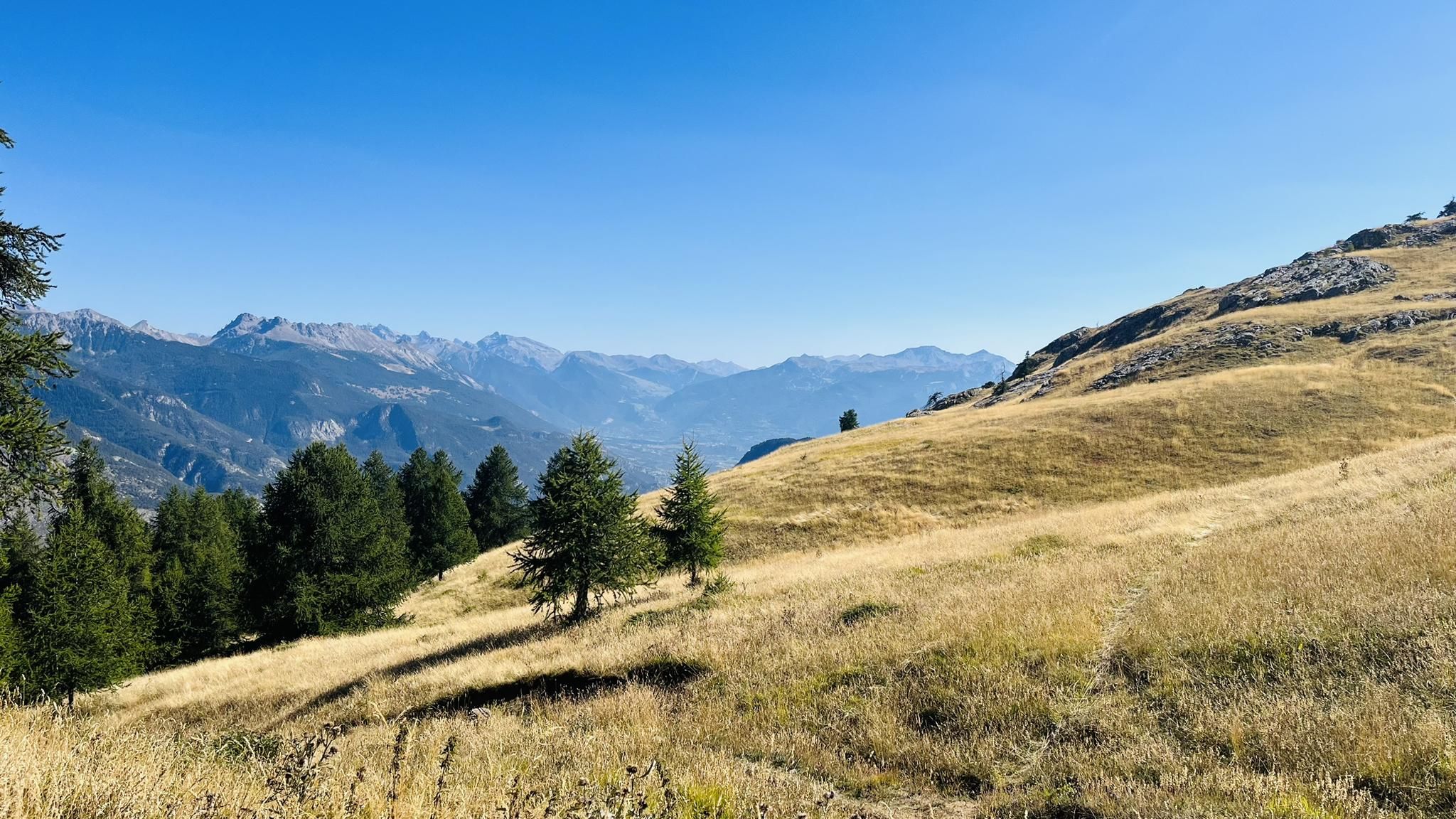
A mountain paradise – The Grand Trail des Écrins
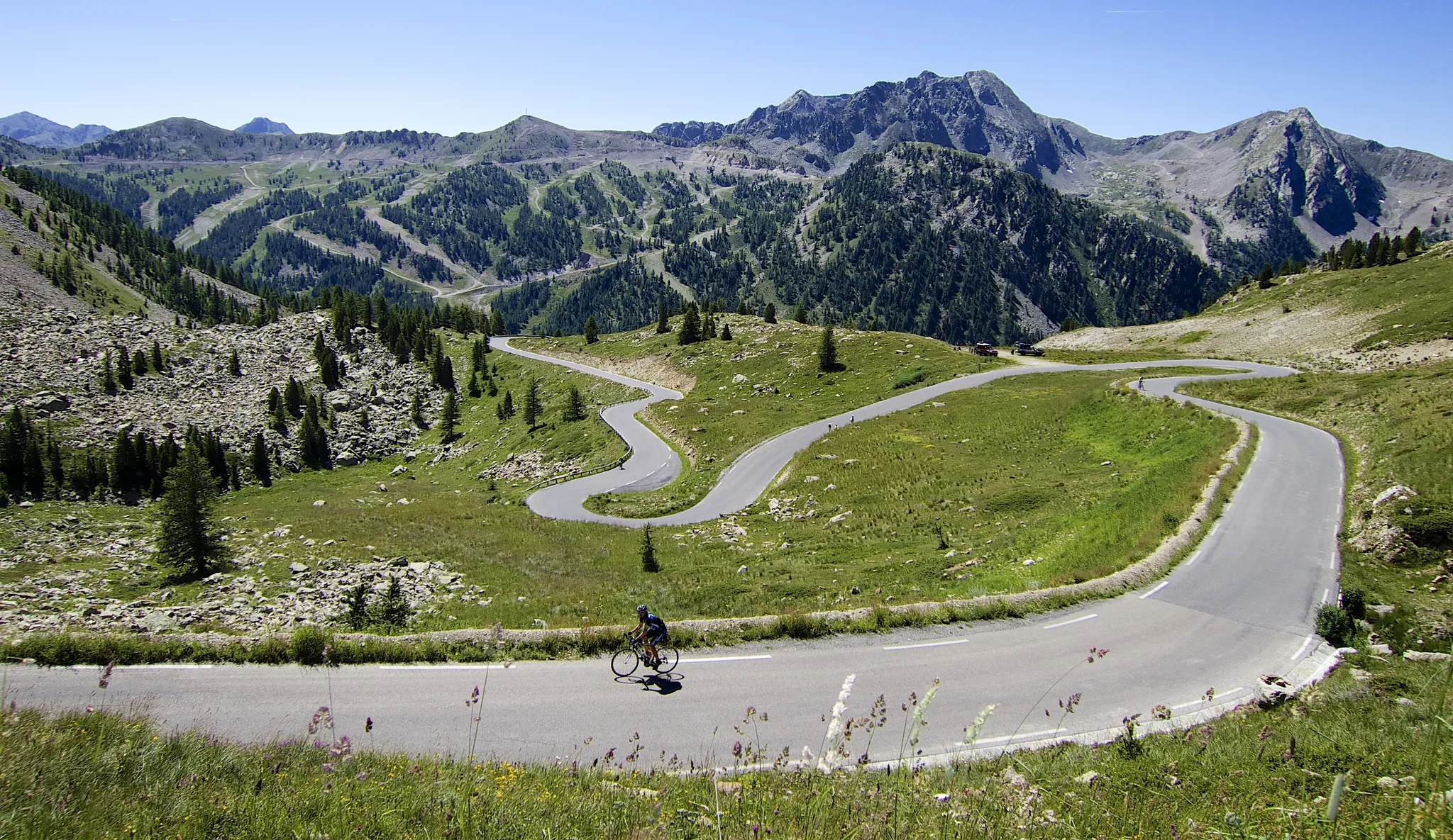
Haute Route Alps 2025 — Assaulting the Alps
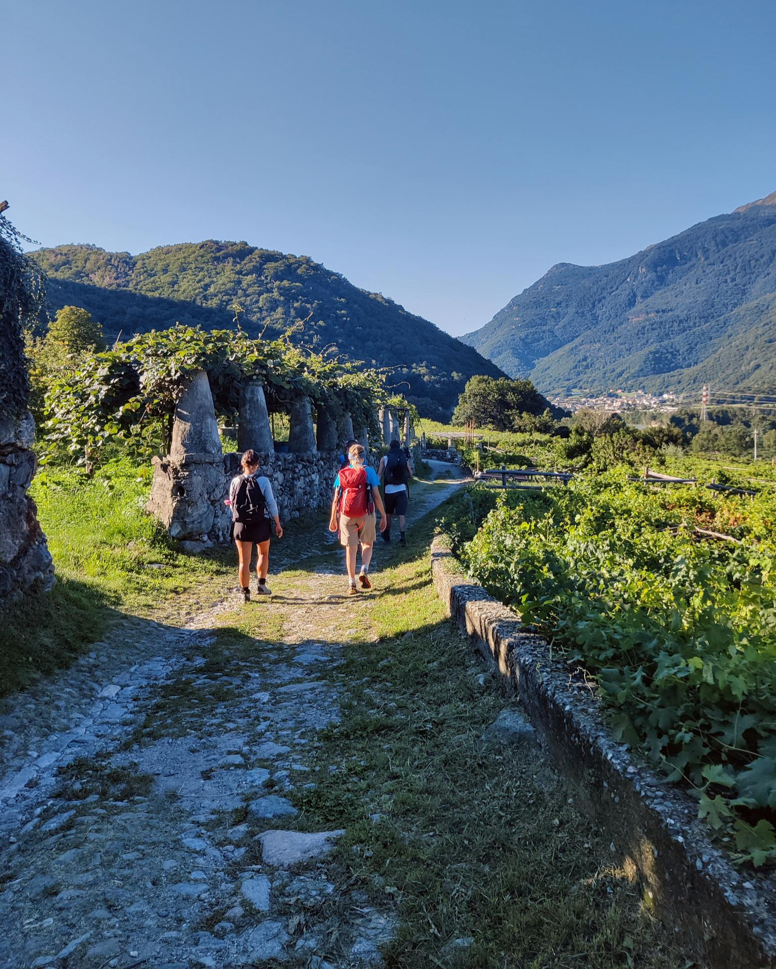
Piemont's Via Francigena
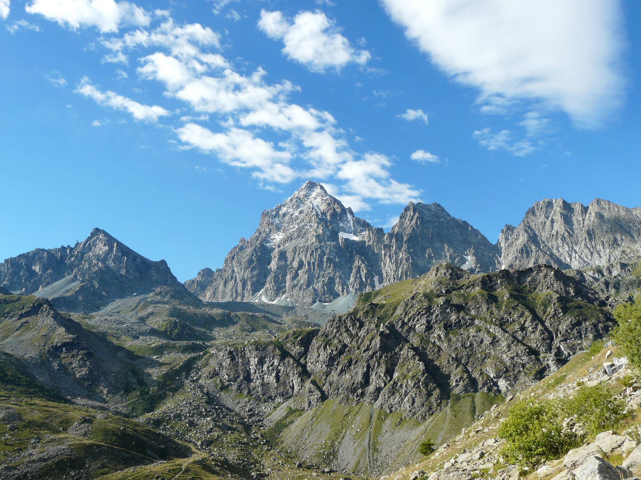
Tour di Viso – Four days around the Stone King from Castello
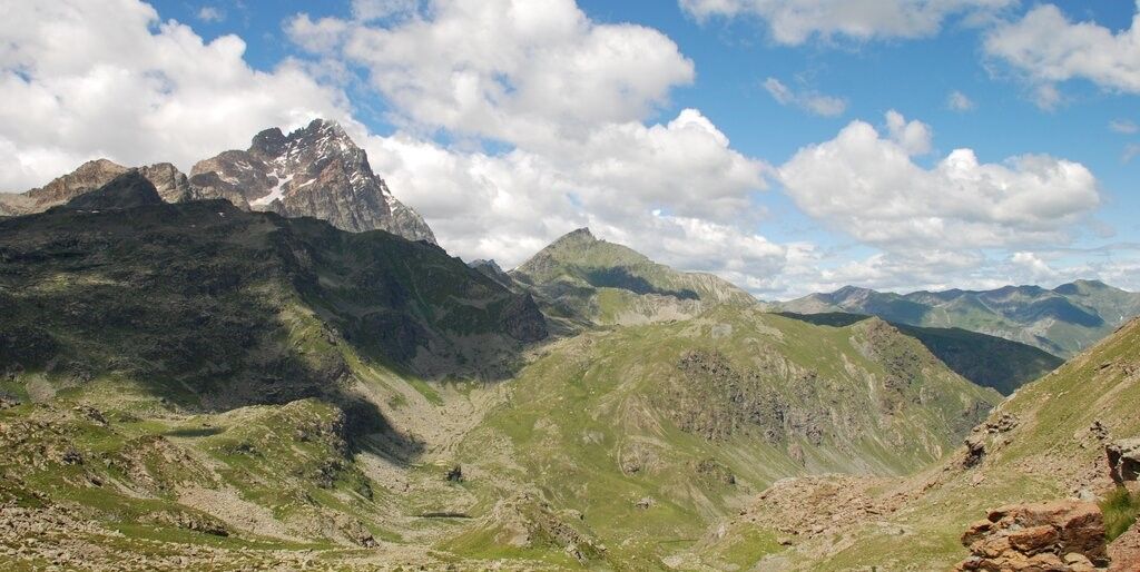
Tour di Viso – Four days around the Stone King from Meire Dacant

GR 5 – The Europe Trail from the Mediterranean to Germany

Transalps MTB – Chamonix to the Mediterranean Sea
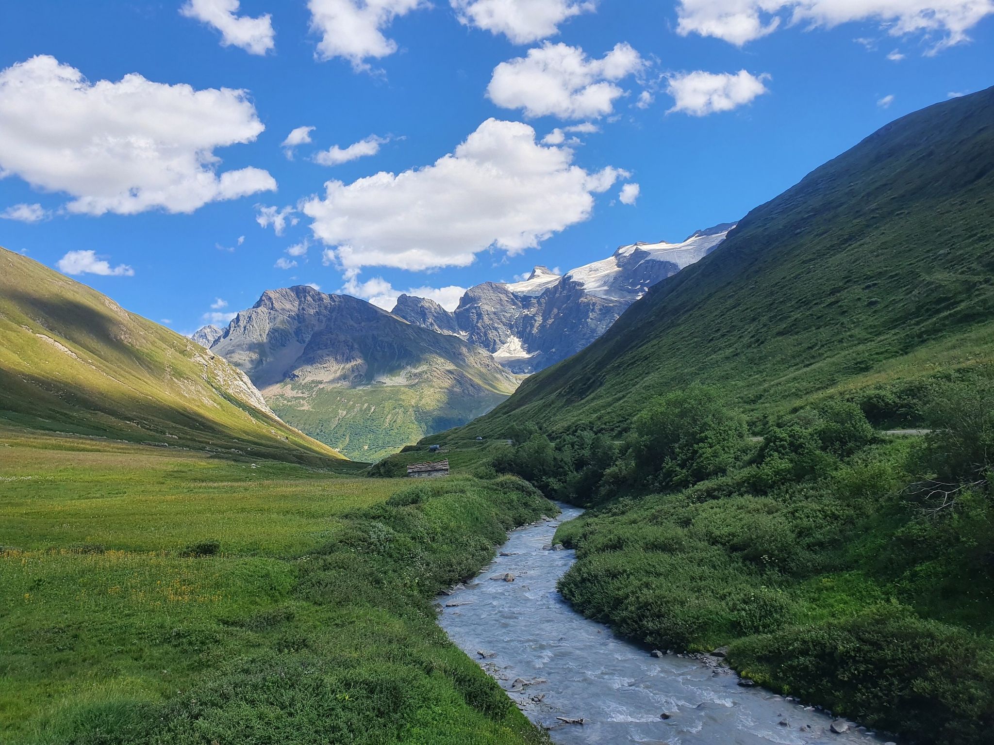
Europe Trail (GR 5) – Hike from Briançon to Landry
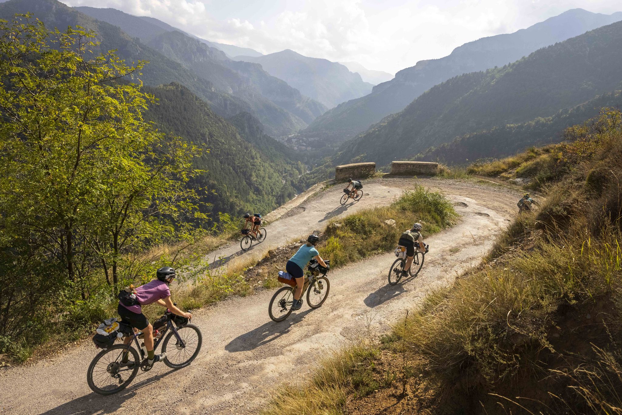
Lael's 2021 Komoot Women's Torino Nice Rally

The Komoot Torino-Nice Rally
Other adventures in Hautes-Alpes


Tips from the Community

Magnificent lake which can be easily walked around.
1
0

Beautiful little village, worth stopping to admire the church.
19
0

This lake is magnificent as are the hikes around it.
0
0

Go to Sainte Anne, it’s well worth the effort.
0
1

A beautiful walk accessible via Lac Miroir, especially on a sunny, windless day. You can see the reflection of the mountains in the lake. A wonderful, peaceful spot to enjoy a well-deserved lunch.
1
0

The Chambran plateau, known as Chambran, has the label of natural park and thus constitutes an area of ecological, fauna and flora interest. This status means it is strongly protected. The landscapes there are fantastic. If it is the starting point for many hikes to the peaks, it is also enough to be a superb hiking destination.
1
0

I advise you to take the time to enjoy the place and the lake. It's just very beautiful, especially when the water is calm to observe the reflection of the mountains in the water. a very well-known place in the region. It's a must-see for photography fans.
0
0
This powerful waterfall is located near the town of Vallouise. It rushes the waters of the torrent of the Combe de Narreyroux into the Onde river. A very refreshing little spot in summer. Note that it turns into a frozen waterfall in winter.
1
0
Frequently Asked Questions
How many running routes are available in Hautes-Alpes?
Hautes-Alpes offers a vast network of over 2,200 running routes, catering to all levels. You'll find approximately 110 easy routes, over 870 moderate options, and more than 1,200 challenging trails.
What kind of terrain can I expect on running trails in Hautes-Alpes?
The region boasts incredibly diverse terrain, from high-altitude peaks and glacial valleys to serene lakeshores and dense forests. You can find easy, mostly paved surfaces for beginners, moderate runs through varied landscapes, and demanding trails requiring alpine experience, especially in areas like Écrins National Park and Queyras Regional Natural Park.
Are there any easy or beginner-friendly jogging routes in Hautes-Alpes?
Yes, Hautes-Alpes offers numerous easy running options. For a gentle experience, consider routes along the Durance riverbanks, which provide flatter terrain. An example is the Along the Gyr - loop trail in the Écrins National Park, which is rated as easy.
What do other runners enjoy most about jogging in Hautes-Alpes?
The running routes in Hautes-Alpes are highly rated by the komoot community, with an average score of 4.5 stars from over 600 reviews. Runners frequently praise the breathtaking panoramas, the extensive network of well-maintained trails, and the opportunity to experience both challenging ascents and serene natural beauty.
Are there any circular running routes in the Hautes-Alpes region?
Yes, many running routes in Hautes-Alpes are circular, offering convenient starting and ending points. For instance, the Chanteloube Loop Trail is a moderate 11.2 km route, and the Lac des Cordes Loop provides a challenging 8.7 km option.
Can I find running trails that pass by waterfalls or other natural attractions?
Absolutely! The Hautes-Alpes region is rich in natural beauty. You can find trails near stunning waterfalls such as the Fontcouverte Waterfall or the Pissette Falls. The region also features glacial lakes and impressive mountain passes like Col du Galibier, offering incredible scenic views.
Are there any running routes suitable for families in Hautes-Alpes?
While many routes offer varied terrain, some are more suitable for families looking for a less strenuous experience. Look for easy-rated trails, often found along riverbanks or in less mountainous areas. The Durance river valley, for example, provides accessible and moderate running options with flatter terrain.
What is the best time of year for running in Hautes-Alpes?
The best time for running in Hautes-Alpes generally depends on the altitude and your preferred conditions. Summer (June to September) is ideal for high-altitude trails, offering pleasant temperatures and clear paths. Spring and autumn provide beautiful scenery and cooler weather for lower-altitude routes. Winter running is possible, but many high mountain trails will be snow-covered and require specialized gear and experience.
Are there any long-distance running trails for experienced trail runners?
Yes, Hautes-Alpes is a prime destination for experienced trail runners. The region offers numerous challenging routes with significant elevation gain. A notable example is the Ecrins Trail, a difficult 34.2 km route traversing parts of Écrins National Park, known for its unspoiled nature and varied terrain.
Can I find running routes that pass through charming villages or historical sites?
Many running routes in Hautes-Alpes pass through or near picturesque villages and historical sites. You can combine your run with cultural exploration in places like Saint-Véran, Embrun, or Mont-Dauphin. Areas like Serre Chevalier Vallée Briançon also offer trails that ascend through historical fortifications and canals.
Are there options for parking or public transport access near running trails?
While specific parking information varies by trailhead, many popular trailheads in Hautes-Alpes offer designated parking areas. For public transport, access can be more limited, especially for remote mountain trails. However, routes near larger towns or valleys may have better connections. It's advisable to check local transport options for your chosen starting point.
Are there any running routes that offer views of Lake Serre-Ponçon?
Yes, the surroundings of Lake Serre-Ponçon, one of the largest artificial lakes in mainland France, offer scenic paths with beautiful views of its turquoise waters. While primarily known for water activities, its shores and nearby trails provide a picturesque backdrop for more relaxed runs.
Most popular routes in Hautes-Alpes
Most popular attractions in Hautes-Alpes

Get inspired with the komoot mobile app


Explore more
Browse the best Running Trails & Routes in other regions.
