The best hikes from bus stations in Hautes-Alpes
4.5
(19771)
180,210
hikers
1,784
hikes
Bus station hiking trails in Hautes-Alpes offer access to a diverse and dramatic natural landscape within the Southern Alps. The region is characterized by towering mountain peaks, including the Barre des Écrins, and features extensive glacial formations. Hikers will find a mix of serene glacial lakes, deep gorges, and varied high plateaus. The terrain ranges from high alpine environments to larch forests and mountain meadows, providing a wide array of hiking experiences.
Best bus station hiking trails in Hautes-Alpes
- The most popular bus station hiking route is Refuge du Glacier Blanc, a difficult 5.6 miles (9.1 km) trail that takes 4 hours 27 minutes to complete, leading towards a prominent glacier in the Écrins National Park.
- Another top favourite among local hikers is Tour de Arêtes de la Bruyère, a difficult 5.8 miles (9.3 km) path. This route offers panoramic mountain vistas and challenging ascents through high alpine terrain.
- Local hikers also love the Refuge du Sélé, an 8.9 miles (14.3 km) trail leading through rugged high alpine terrain, often completed in about 6 hours 30 minutes.
- Hiking in Hautes-Alpes is defined by majestic peaks, glacial lakes, and deep gorges. The extensive network of trails offers options for various ability levels, from demanding multi-day treks to more accessible paths.
- The routes in Hautes-Alpes are highly rated by the komoot community with an average score of 4.5 stars from over 15,000 reviews. More than 145,000 hikers have used komoot to explore Hautes-Alpes's varied terrain.
Last updated: October 24, 2026
4.8
(160)
1,990
hikers
9.09km
04:27
610m
610m
Hard hike. Good fitness required. Sure-footedness, sturdy shoes and alpine experience required.
4.8
(53)
533
hikers
9.29km
03:56
700m
700m
Hard hike. Good fitness required. Sure-footedness, sturdy shoes and alpine experience required.

4.9
(19)
333
hikers
14.3km
06:30
970m
970m
Hard hike. Very good fitness required. Sure-footedness, sturdy shoes and alpine experience required.
4.9
(21)
216
hikers
7.13km
03:03
560m
560m
Hard hike. Good fitness required. Sure-footedness, sturdy shoes and alpine experience required.
4.6
(32)
258
hikers
4.97km
01:44
240m
240m
Moderate hike. Mostly walkable paths. Sure-footedness required.
Get access to more routes and recommendations from other explorers.
Already have an account?
Our route recommendations are based on thousands of hikes, rides, and runs completed by other people on komoot.
Start today with a free account
Your next adventure awaits.
Popular around Hautes-Alpes
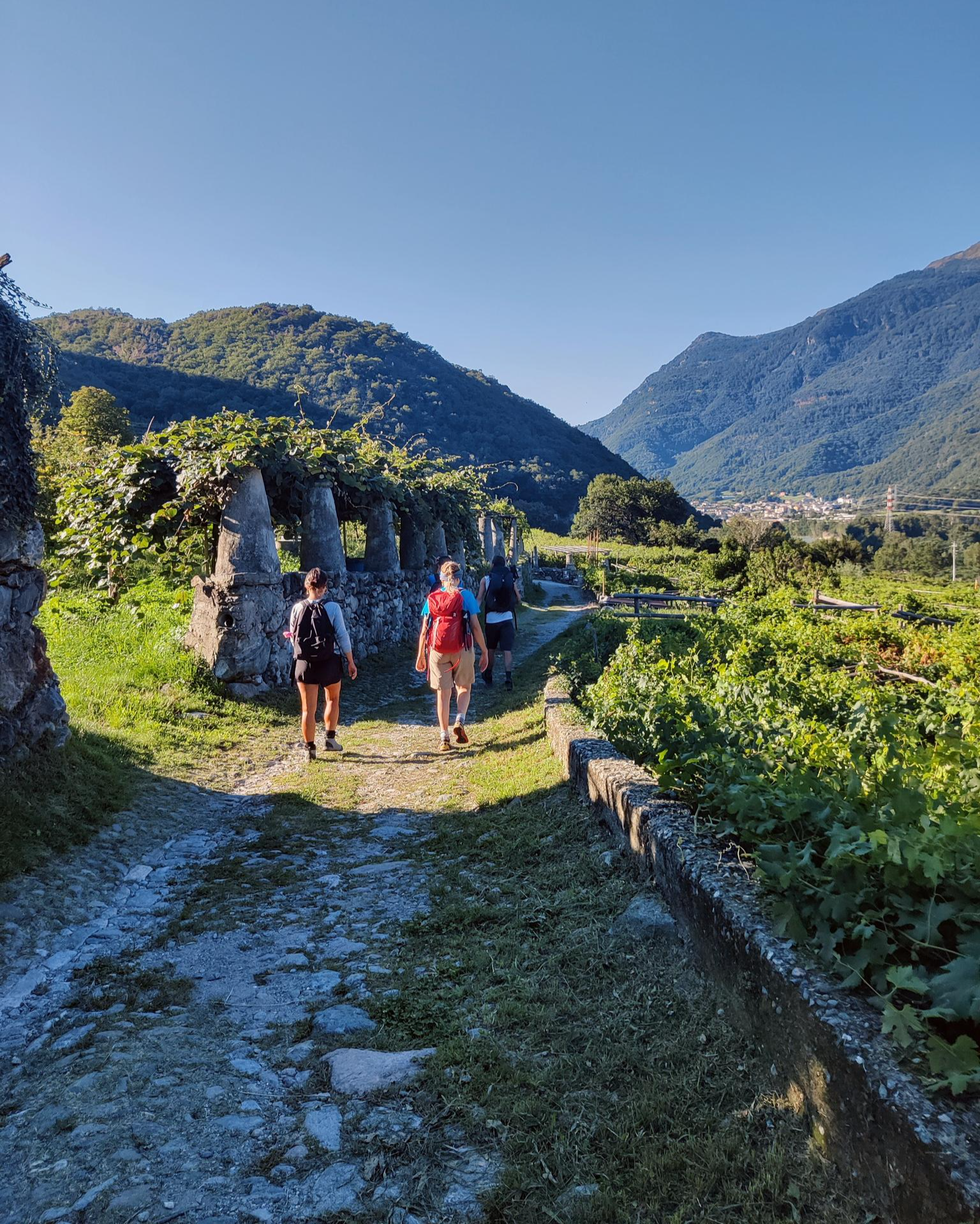
Piemont's Via Francigena
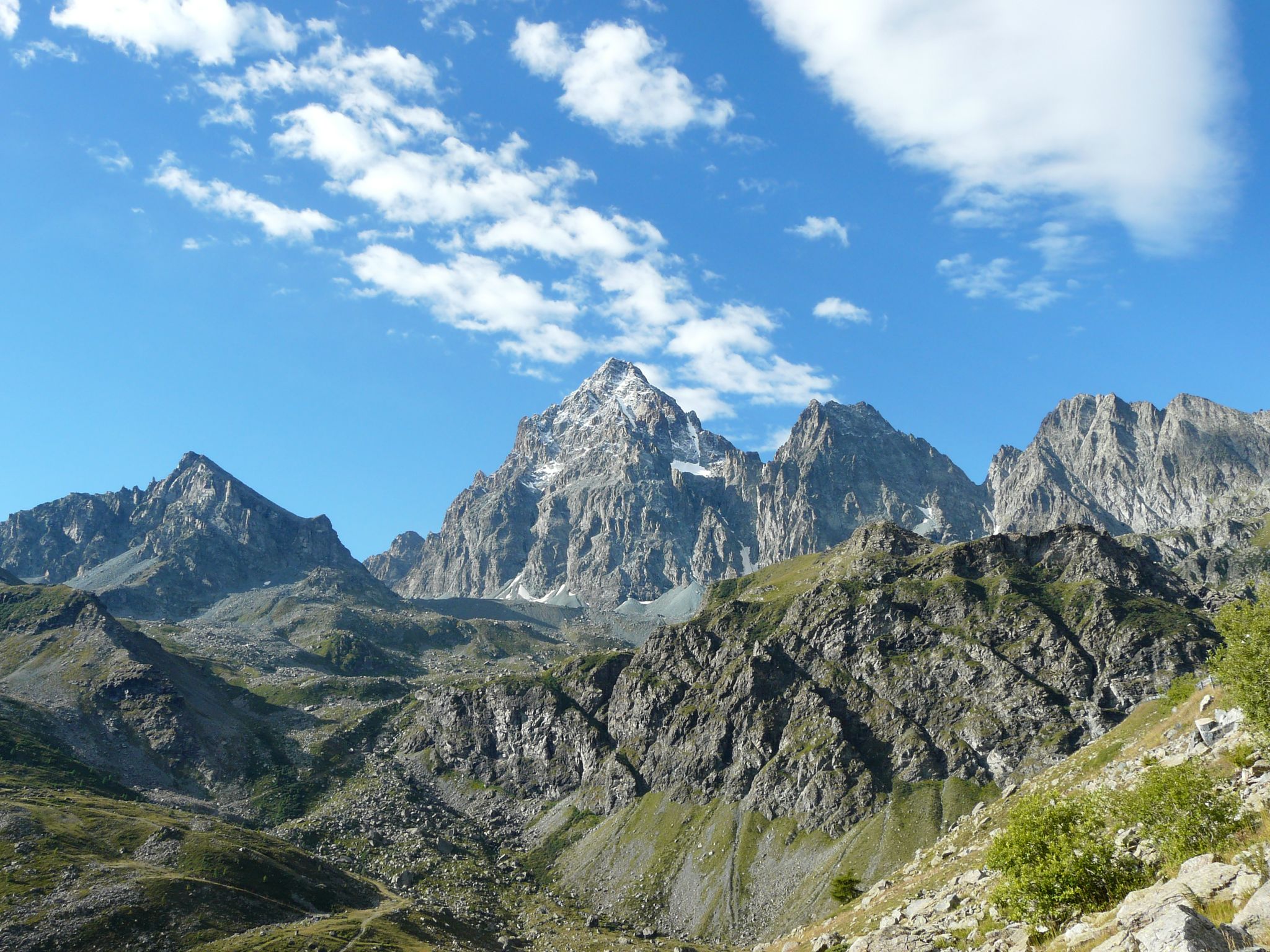
Tour di Viso – Four days around the Stone King from Castello
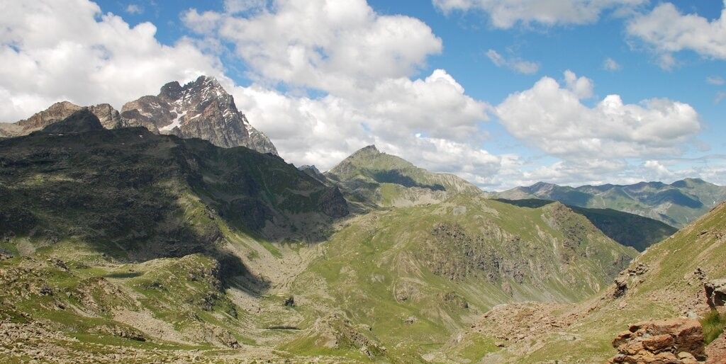
Tour di Viso – Four days around the Stone King from Meire Dacant
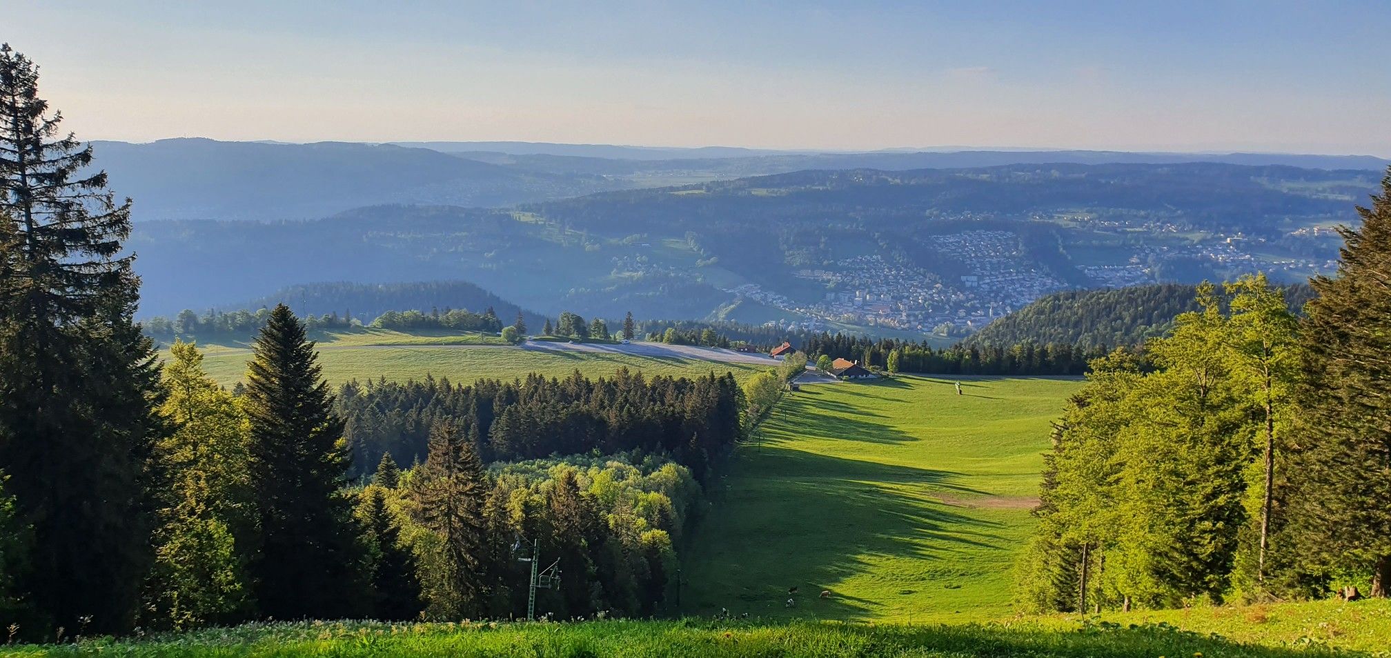
GR 5 – The Europe Trail from the Mediterranean to Germany
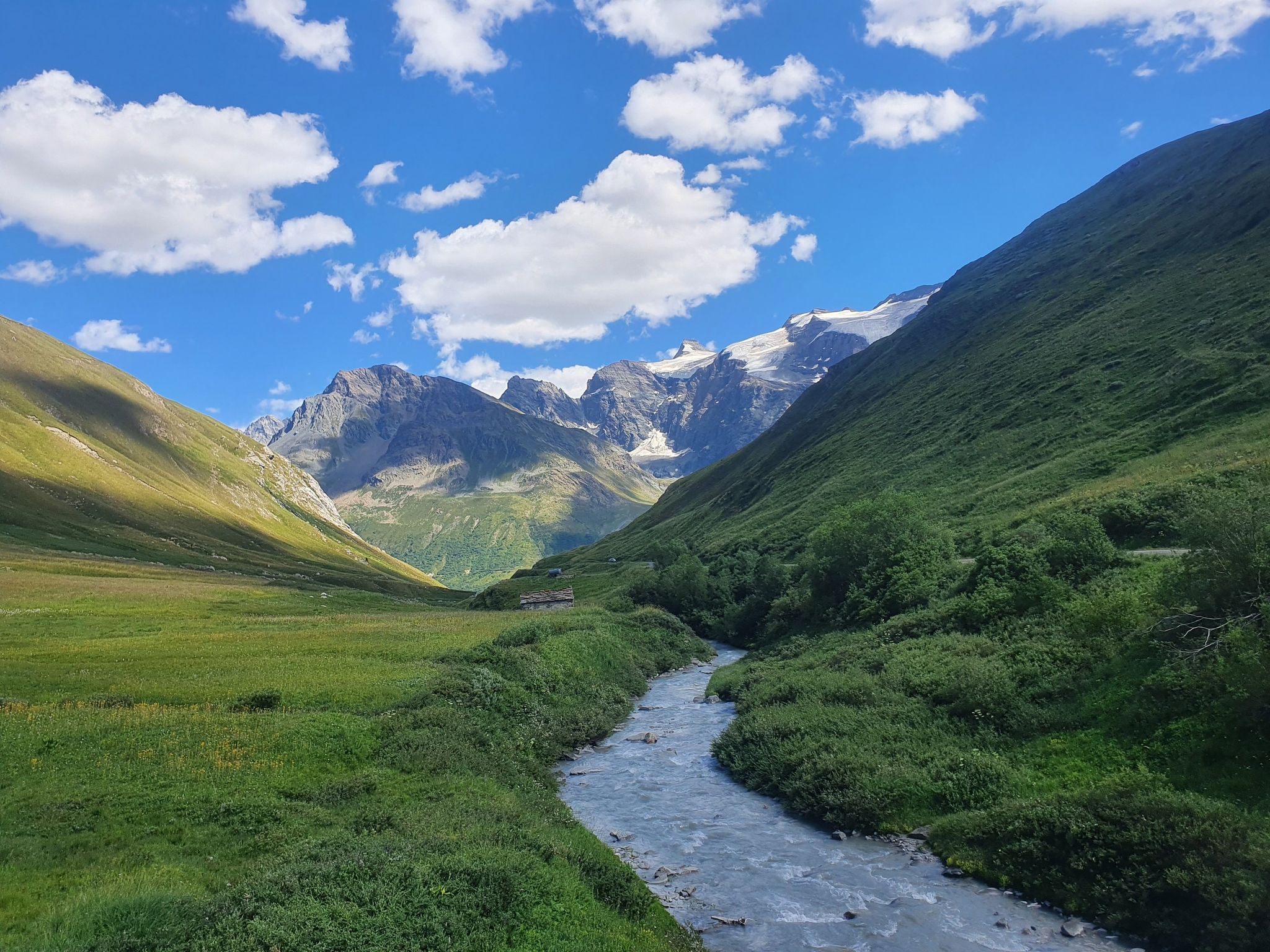
Europe Trail (GR 5) – Hike from Briançon to Landry
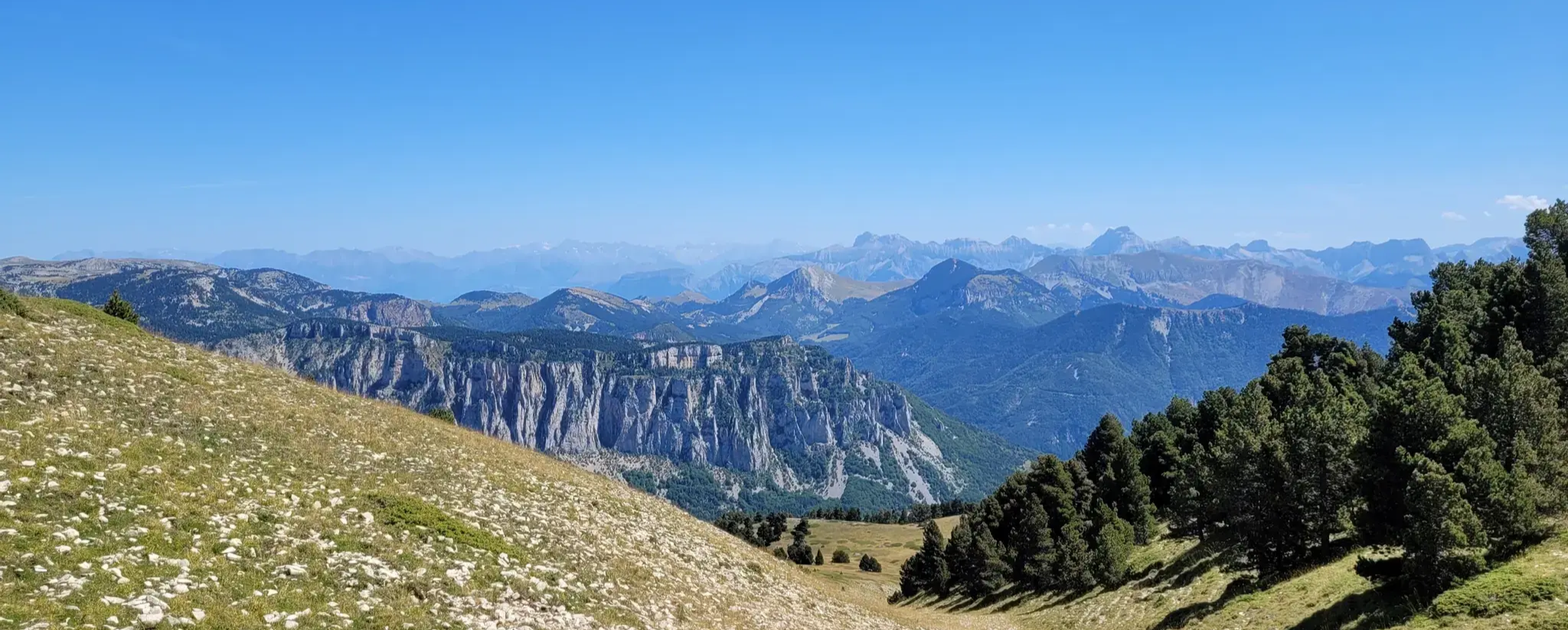
GR 91 - From the Vercors High Plateaux to Provence
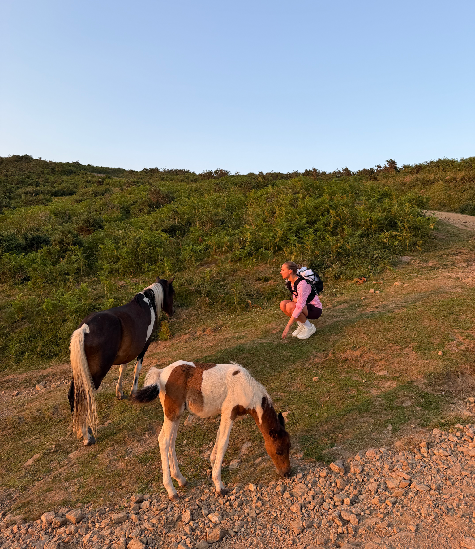
France’s Best Sunrise & Sunset Hikes
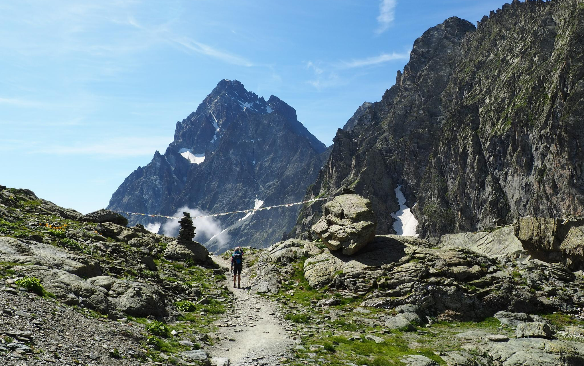
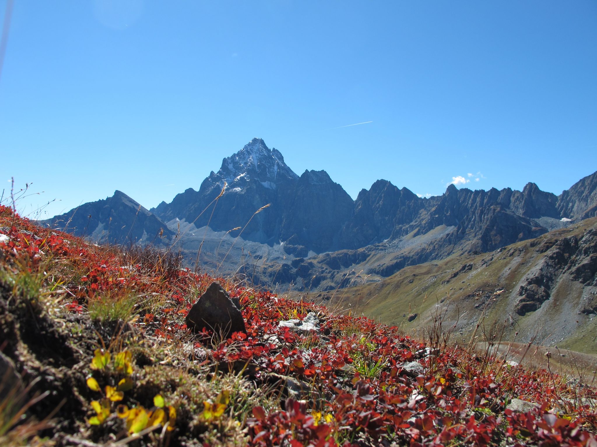
On the trails of the Stone King – trekking among the huts of Monviso
Three days around il Re di Pietra ─ Giro di Viso from Castello
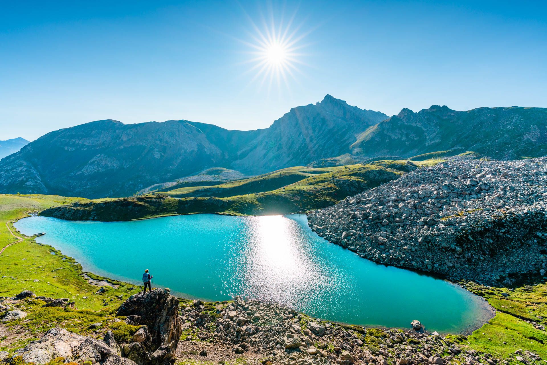
8 hikes in the Hautes-Alpes — mountain passes and high-altitude lakes
Other adventures in Hautes-Alpes


Tips from the Community

A delight to pass by the white water river.
1
0

The omelettes are very good, a can of coke is 5 euros
0
0

To do early and in a good mood with the chamois of the glacier noir and the marmots of the glacier blanc.
0
0

Beautiful high plateau with lots of water and lots of wildflowers
1
0
Great picnic spot overlooking the lake
0
0

Le Grand Lac is a lake surrounded by high mountains and green meadows. From the hiking trails around the lake you have an even better view of the whole.
0
0
Search the paths for many more gnomes!
0
0

Don't be alarmed, because along the gnome path you will also encounter a few trolls!
0
0
Frequently Asked Questions
How many bus station hiking trails are there in Hautes-Alpes?
The Hautes-Alpes region offers a vast network of trails accessible by bus, with over 1650 hiking routes available. This includes a wide range of options, from easy strolls to challenging mountain ascents.
What is the best time of year for bus-accessible hikes in Hautes-Alpes?
The Hautes-Alpes generally enjoys a generous climate with exceptional sunshine, making spring through autumn ideal for hiking. While mountain conditions can be changeable at higher altitudes, the region's diverse landscapes offer pleasant experiences for bus-accessible trails during these seasons. Winter can also be beautiful for snowshoeing, but requires specific gear and awareness of conditions.
What do other hikers enjoy most about bus-accessible hikes in Hautes-Alpes?
The bus-accessible hikes in Hautes-Alpes are highly rated by the komoot community, with an average score of 4.5 stars from over 15,000 ratings. Hikers often praise the stunning Alpine landscapes, the accessibility to diverse natural features like glacial lakes and peaks, and the well-maintained trails that cater to various skill levels.
Are there easy bus-accessible hiking trails for beginners in Hautes-Alpes?
Yes, the Hautes-Alpes offers over 400 easy bus-accessible hiking routes perfect for beginners or those seeking a relaxed outing. These trails often feature gentle gradients and shorter distances, allowing you to enjoy the scenery without strenuous effort. A great example is The gnome trail, which is a moderate, family-friendly option.
Are there challenging bus-accessible hikes for experienced hikers?
Absolutely. For experienced hikers, there are over 360 difficult bus-accessible routes in Hautes-Alpes. These trails often involve significant elevation gain and rugged terrain, leading to breathtaking high-alpine vistas. Consider challenging yourself with routes like Refuge du Glacier Blanc or Refuge du Sélé for a rewarding adventure.
What natural features or landmarks can I explore near bus-accessible trails?
The Hautes-Alpes is rich in natural beauty. Near bus-accessible trails, you can discover stunning lakes such as Lake Sainte-Marguerite or the unique Lac Gignoux (Lake of Seven Colours). High mountain passes like Col du Granon (2,413 m) also offer incredible views. Many routes also pass by charming mountain huts like Rifugio Re Magi.
Are there bus-accessible hikes that lead to waterfalls or glacial features?
Yes, the Hautes-Alpes is home to numerous waterfalls and impressive glacial landscapes. Many bus-accessible trails can lead you to sights like the Voile de la Mariée waterfall or offer views of the region's many glaciers. For a direct encounter with glacial features, consider the challenging hike to Glacier Noir.
Are dogs allowed on bus-accessible hiking trails in Hautes-Alpes?
Generally, dogs are welcome on many hiking trails in the Hautes-Alpes, especially on a leash. However, specific rules may apply within protected areas like the Écrins National Park or Queyras Regional Natural Park. Always check local regulations for the specific trail you plan to hike, and ensure your dog is well-behaved and doesn't disturb wildlife.
Are there any circular bus-accessible walks in Hautes-Alpes?
Many bus-accessible routes in Hautes-Alpes are designed as circular walks, allowing you to start and end your hike at the same point, often conveniently near a bus stop. These loops offer varied scenery without retracing your steps. An example of a challenging circular route is Tour de Arêtes de la Bruyère.
What should I wear for autumn hikes accessible by bus in Hautes-Alpes?
Autumn in the Hautes-Alpes can bring crisp, sunny days but also sudden drops in temperature, especially at higher elevations. It's best to dress in layers, including a moisture-wicking base layer, an insulating mid-layer (fleece or down), and a waterproof and windproof outer shell. Sturdy hiking boots, a hat, gloves, and sun protection are also recommended.
Can I find wild swimming spots near bus-accessible trails in Hautes-Alpes?
While the region is known for its stunning lakes like Lake Serre-Ponçon and numerous glacial lakes, designated wild swimming spots near bus-accessible trails can be limited and often involve cold water. Always prioritize safety, check for local regulations regarding swimming, and be aware of water temperatures and currents before entering any natural body of water.
Most popular routes in Hautes-Alpes
Most popular attractions in Hautes-Alpes

Get inspired with the komoot mobile app


Explore more
Browse the best Hikes in other regions.
