The best road cycling routes around Chur
4.5
(260)
9,729
riders
23
rides
Road cycling routes around Chur, Switzerland's oldest city, offer diverse terrain from the flat Rhine Valley to challenging Alpine passes. The region is characterized by its strategic location, providing access to both river-level paths and significant mountain ascents. Cyclists can explore the dramatic Rhine Gorge, traverse vineyards, and climb towards high mountain landscapes. This varied topography supports a wide range of road cycling experiences.
Best road cycling routes around Chur
- The most popular road cycling route is Heidsee (Lake Heid)…
Last updated: May 11, 2026
4.4
(10)
634
riders
120km
06:25
2,300m
2,300m
Hard road ride. Very good fitness required. Some segments of this route may be unpaved and difficult to ride.
4.8
(17)
548
riders
62.2km
03:55
1,160m
1,160m
Hard road ride. Very good fitness required. Some segments of this route may be unpaved and difficult to ride.

Sign up for free
4.6
(16)
412
riders
46.3km
02:19
700m
700m
Moderate road ride. Good fitness required. Some segments of this route may be unpaved and difficult to ride.
4.8
(6)
397
riders
Hard road ride. Very good fitness required. Mostly well-paved surfaces and easy to ride.
4.5
(4)
141
riders
34.8km
02:21
1,110m
1,110m
Hard road ride. Very good fitness required. Mostly well-paved surfaces and easy to ride.
Get access to more routes and recommendations from other explorers.
Sign up for free
Already have an account?
Our route recommendations are based on thousands of hikes, rides, and runs completed by other people on komoot.
Start today with a free account
Your next adventure awaits.
Login or Signup
Popular around Chur
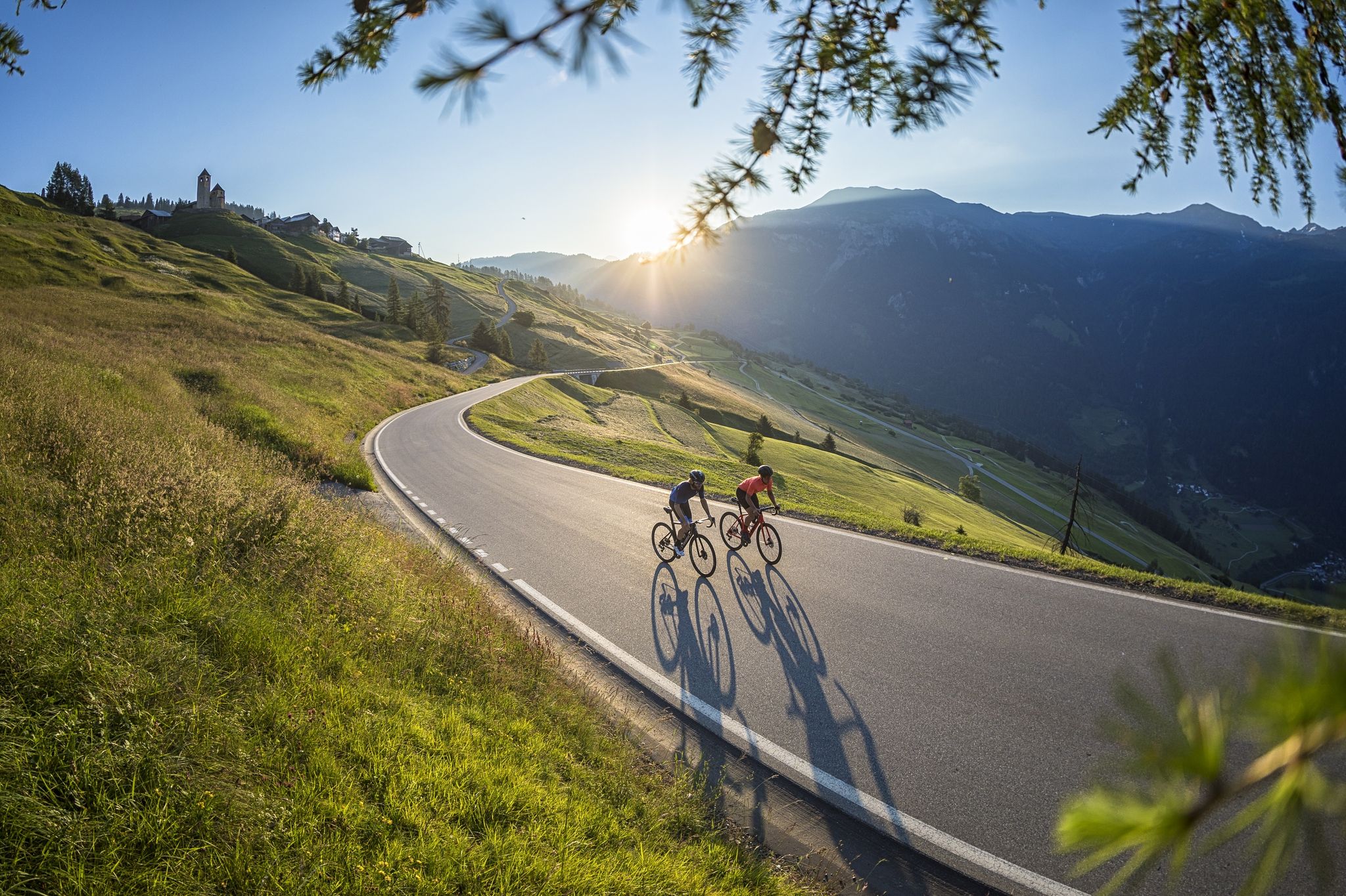
A cyclists’ menu – road cycling in Switzerland’s Grisons

Alpine Passes Trail in Switzerland – 34 stages of pure mountain fun
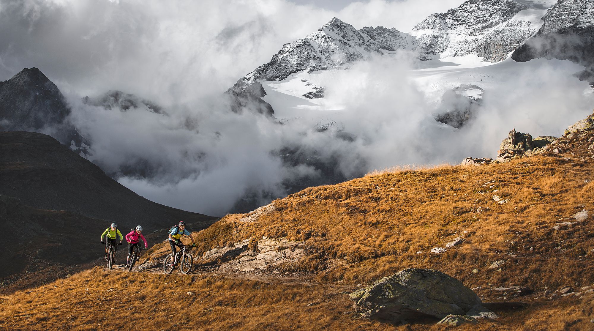
Great heights from Chur to Tirano with your mountain bike & post bus

The Rhine Cycle Path — From the source to the North Sea
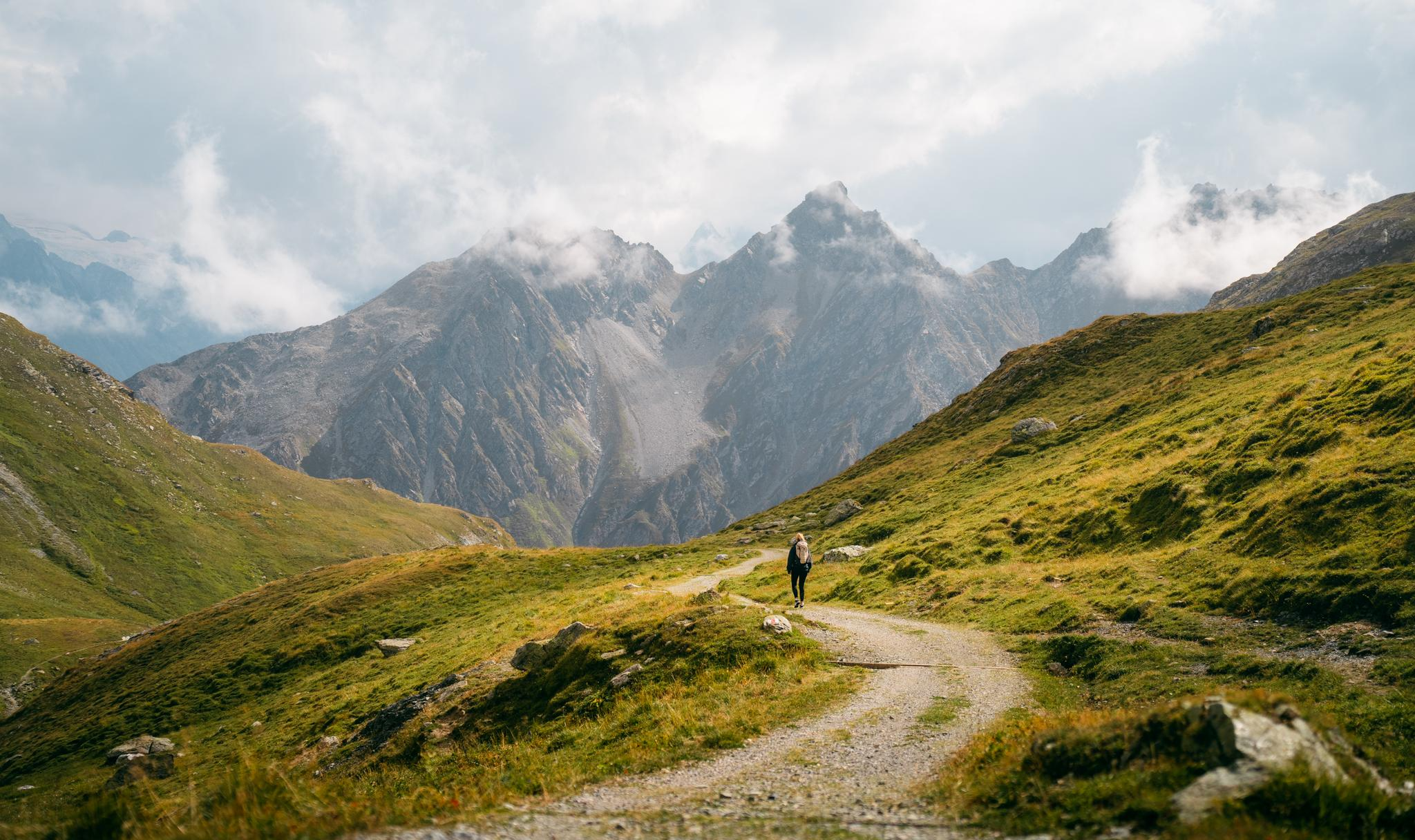
Quiet villages, proud passes, impressive history – the Via Sett

Every cycling trip is a little holiday – bike to work Challenge 2026
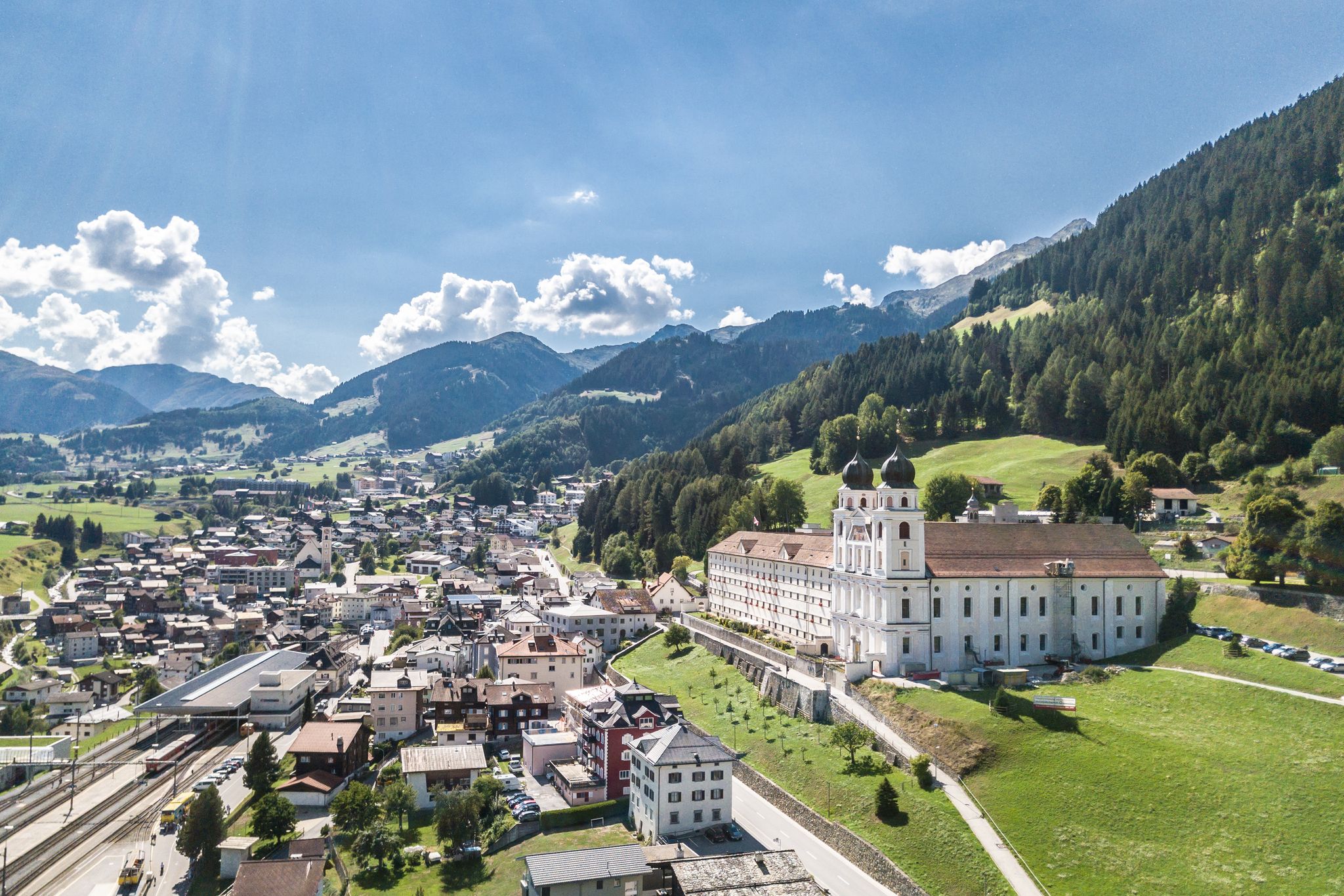
Between water, rock and forest - Grischun Cultura Surselva
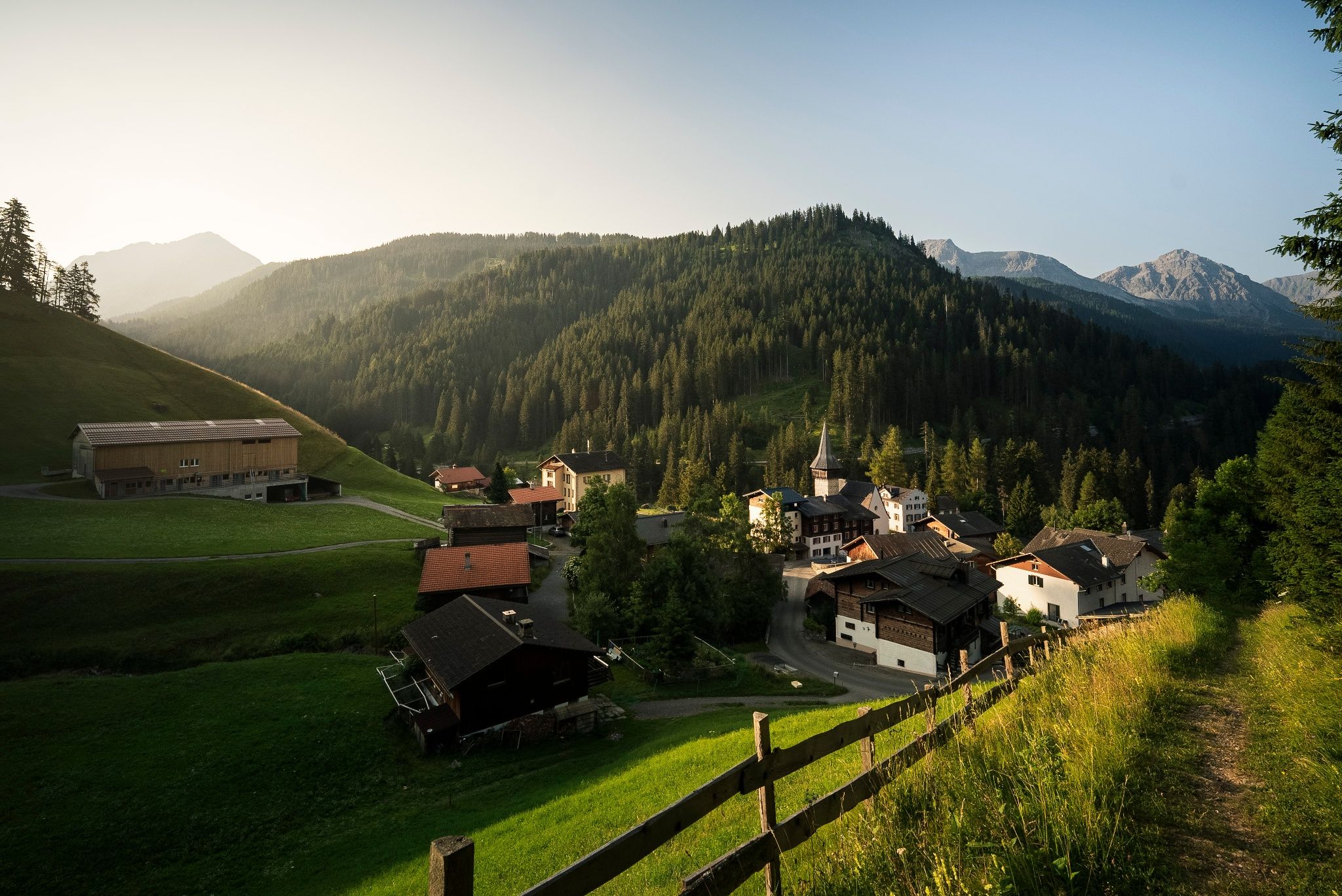
Village to village in the footsteps of the Walser – Schanfigger village trail
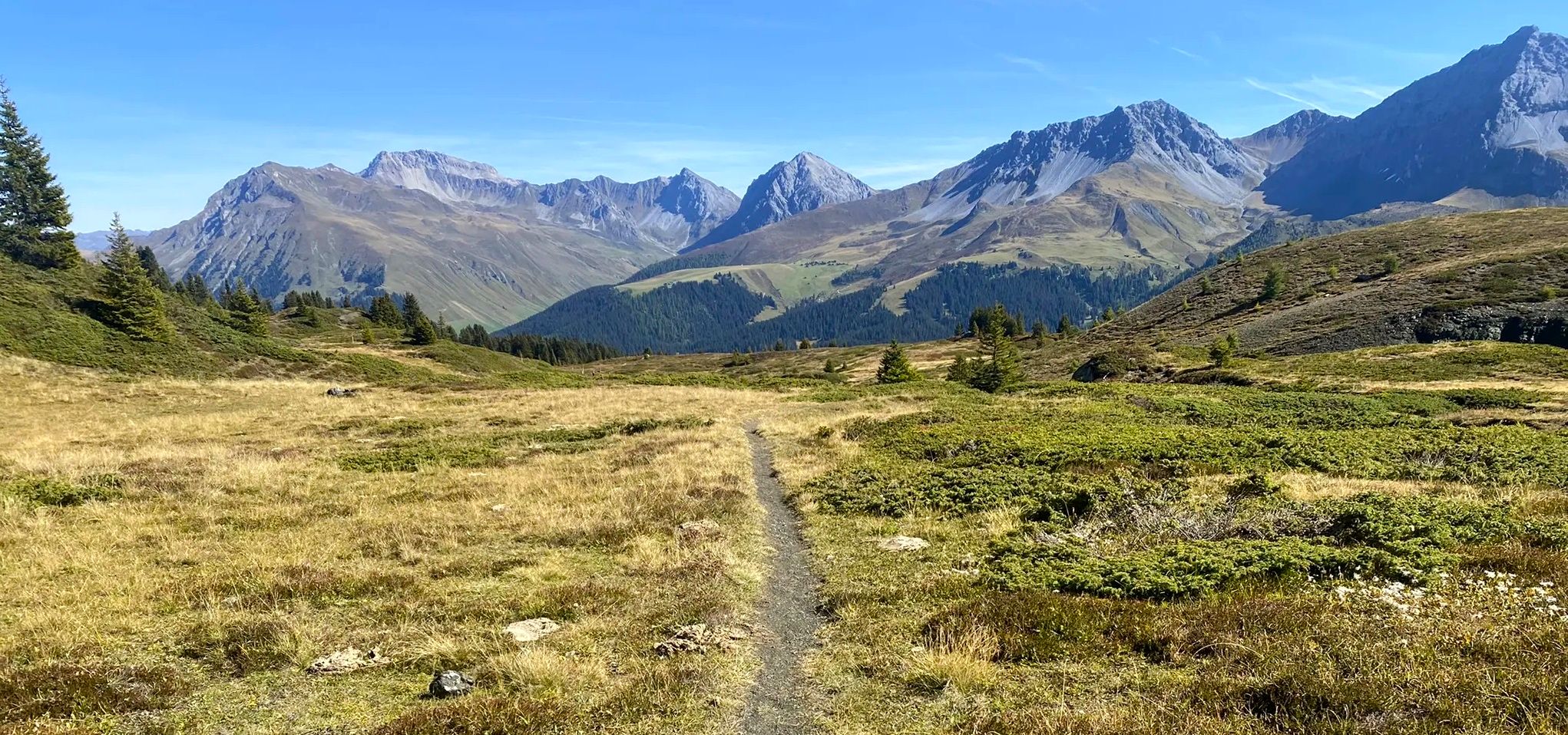
Explore an entire valley on foot - Schanfigger Höhenweg
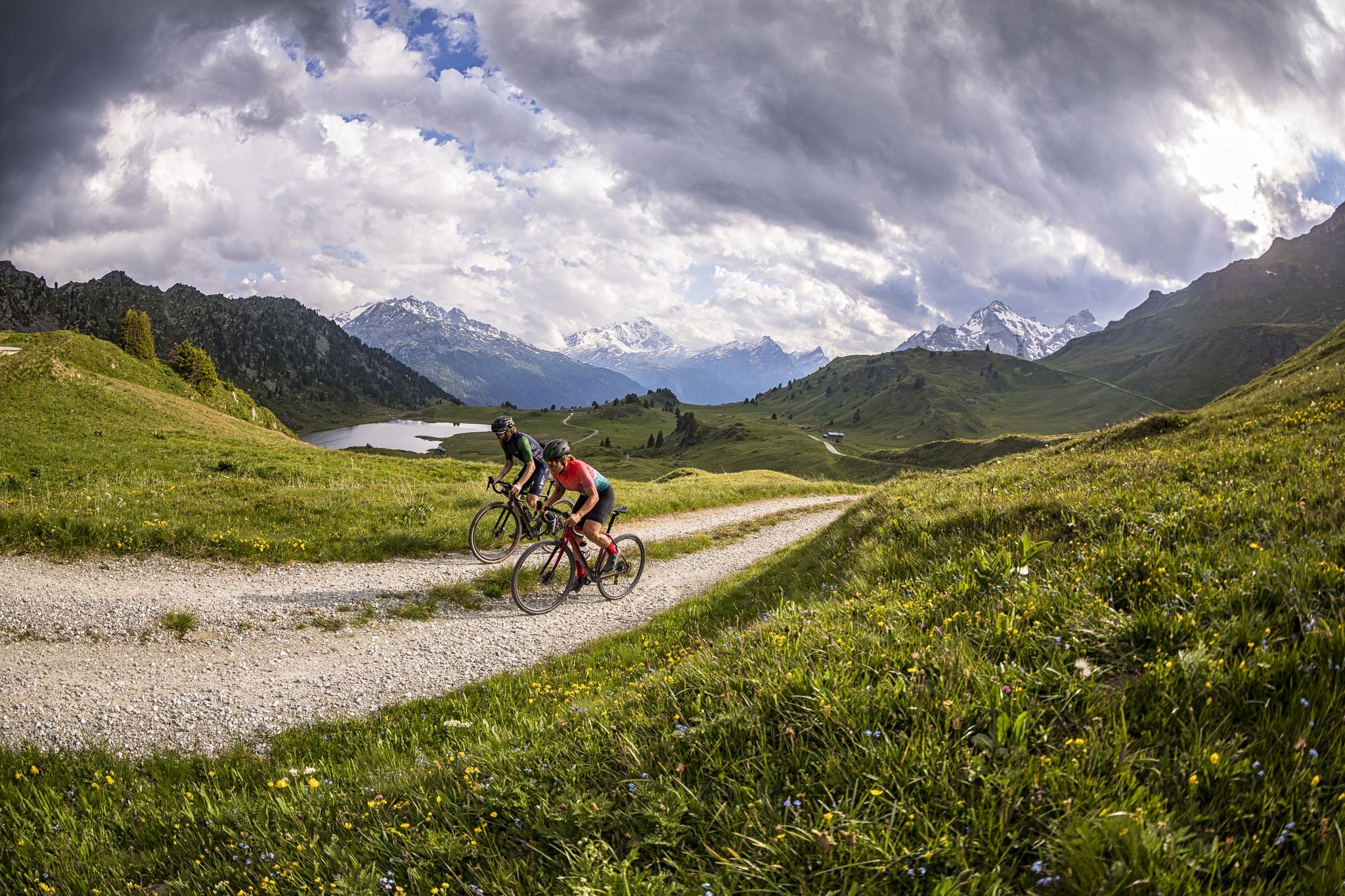
A gravel biking Menu for Switzerland’s Grisons
Other adventures around Chur


Tips from the Community


easy to drive and scenically spectacular
0
0

A small wooden building to enhance your photos from the viewpoint overlooking the city of Chur. It's just a 7-8 minute walk from the town center.
0
0
It's a 7 minute walk from the town centre, although it's a little uphill, but it's worth it to admire the whole city from above.
0
0

Good view of the quite impressive Langwieser Viaduct of the Arosa Railway RhB.
1
0

A place of power in a special class
0
0

This is not the Landwasser Viaduct, it is the Langwieser Viaduct
0
0

Ruinaulta Rhine Gorge The Ruinaulta, or Rhine Gorge, is a gorge of the Vorderrhein River, up to 400 meters deep and approximately 13 kilometers long, between Ilanz and the mouth of the Hinterrhein River near Reichenau in the canton of Graubünden in Switzerland. The Romansh name 'Ruinaulta' is composed of the two words ruina (scree slope, quarry) and aulta (high). The Ruinaulta was formed after the Flims Landslide almost 10,000 years ago. At that time, over 10 billion cubic meters of rock broke off between the Flimserstein and Piz Grisch, burying the Vorderrhein Valley between the present-day villages of Castrisch and Reichenau under a mass of debris several hundred meters thick. Because the Vorderrhein River could no longer drain away, a lake was dammed over a length of approximately 25 kilometers. Over time, the river cut deep into the landslide, and the resulting lake drained away completely. What remained was the Ruinaulta, with its steep limestone scree cliffs in impressive erosion formations. Text / Source: Wikipedia https://de.wikipedia.org/wiki/Ruinaulta
16
0
Frequently Asked Questions
What types of road cycling routes can I find around Chur?
Chur offers a diverse range of road cycling experiences, from leisurely tours along the flat Rhine Valley to challenging ascents over Alpine passes. You can explore scenic vineyards, traverse the dramatic Rhine Gorge, or climb towards high mountain landscapes. The region's strategic location provides access to both river-level paths and significant mountain climbs.
Are there any easy road cycling routes suitable for beginners in Chur?
Yes, Chur provides several easier options. While specific easy routes are not detailed here, the Rhine Cycle Route, which Chur sits on, offers mostly flat cycle paths suitable for regional tours and less demanding rides. The region has 7 easy routes out of a total of 23 road cycling tours.
Which road cycling routes offer significant elevation gain and a challenge?
For those seeking a challenge, Chur is an excellent starting point for routes with substantial elevation. The Heidsee (Lake Heid) – Old Town and St. Martin's Church, Chur loop from Chur Wiesental is a difficult 74.4-mile (119.7 km) route with over 2,300 meters of elevation gain. Another demanding option is the Bergün – Bergünerstein Gorge loop from Chur Wiesental, covering 92 km with over 2,250 meters of ascent. The Graubünden Route also includes challenging sections over the Albulapass and San Bernardino Pass.
Can I find circular road cycling routes around Chur?
Yes, many road cycling routes around Chur are designed as loops, allowing you to start and end in the same location. Examples include the Kunkelspass Tunnel – View of the Rhine Valley loop from Haldenstein, which offers stunning views, and the Chur – Old Town and St. Martin's Church, Chur loop from Chur Wiesental, which takes you through the city's historic center.
What natural features and landmarks can I see while road cycling near Chur?
Road cycling routes around Chur offer access to spectacular natural beauty and notable landmarks. You can encounter the dramatic Rhine Gorge, often called 'Switzerland's Grand Canyon,' or ride past the historic Kunkel Pass. Other highlights include the Tamina Gorge and the Glacial Mills Alp Mora. The region also features vineyards and the source of the Rhine.
What is the best time of year for road cycling in Chur?
The mild climate of the Rhine Valley makes it suitable for cycling for much of the year. However, for routes involving Alpine passes like the Albulapass or San Bernardino Pass, the best time is typically from late spring to early autumn (May to October) when the passes are clear of snow and weather conditions are more stable. Always check local conditions before heading out.
Are there family-friendly road cycling options in Chur?
While many routes are geared towards experienced cyclists, the flatter sections of the Rhine Cycle Route are generally suitable for families. These paths offer a more relaxed experience away from heavy traffic. The region also has local cycling paths through winegrowing villages that can be enjoyable for families, though specific family-friendly road cycling routes are not highlighted in the data.
How do other cyclists rate the road cycling routes in Chur?
The road cycling routes in Chur are highly regarded by the komoot community, with an average rating of 4.5 out of 5 stars from over 90 reviews. Cyclists often praise the diverse terrain, from the flat Rhine Valley to challenging Alpine passes, and the stunning scenic beauty of the region.
Can I access road cycling routes in Chur using public transport?
Chur has excellent public transport infrastructure, making it easy to reach starting points for many routes. The city is a major transport hub, and its strategic location allows for convenient access to various cycling paths, including those leading into the Rhine Valley or towards the mountains. You can often combine train travel with cycling to explore different areas.
Are there any moderate difficulty road cycling routes in Chur?
Yes, Chur offers a good selection of moderate routes that provide a balance between challenge and accessibility. For example, the Versam Climb – Versam Curves loop from Chur is a moderate 47.4-kilometer route with over 700 meters of elevation gain, offering a rewarding ride without the extreme demands of the most difficult Alpine passes. There are 8 moderate routes available in the area.
What kind of terrain can I expect on road cycling routes around Chur?
The terrain around Chur is incredibly varied. You'll find flat, well-maintained paths along the Rhine Valley, rolling hills through picturesque winegrowing villages like those in the Bündner Herrschaft, and steep, winding roads leading up to high Alpine passes such as the Kunkel Pass. This diversity ensures there's a suitable route for every preference and fitness level.
Most popular attractions around Chur

Get inspired with the komoot mobile app


Explore more
Browse the best Road cycling routes in other regions.
