The best mountain hikes around Stallehr
4.7
(155)
1,327
hikers
76
hikes
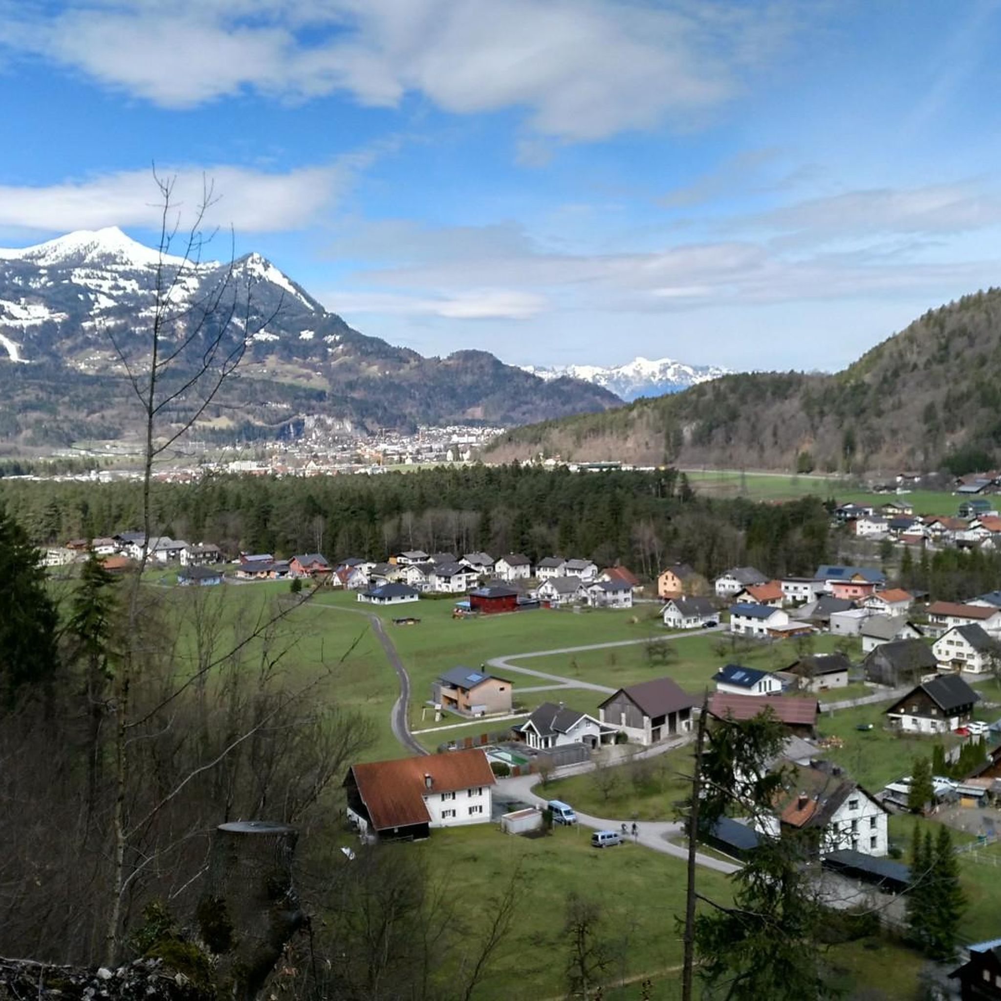
Mountaineering routes around Stallehr are situated at the exit of the Klostertal valley, at the northeastern foot of the Davennakopf, within Austria's Vorarlberg state. The region is characterized by its dramatic alpine setting, with the Verwall and Rätikon mountain ranges providing extensive terrain for exploration. Peaks like Davennakopf (1,708 meters) are directly accessible, while the Rätikon range offers impressive limestone formations and challenging ascents to summits such as Schesaplana and Sulzfluh. This area features a diverse landscape of high alpine…
Last updated: May 11, 2026
4.6
(18)
121
hikers
2.38km
01:24
260m
260m
Hard mountaineering route. Great for any fitness level. Sure-footedness, sturdy shoes and alpine experience required.
4.9
(7)
37
hikers
9.08km
04:11
690m
690m
Moderate mountaineering route. Good fitness required. Mostly accessible paths. Sure-footedness required.

Sign up for free
4.3
(3)
38
hikers
12.9km
06:31
1,280m
1,280m
Hard mountaineering route. Very good fitness required. Mostly accessible paths. Sure-footedness required.
3.0
(1)
24
hikers
6.18km
03:34
650m
650m
Moderate mountaineering route. Good fitness required. Mostly accessible paths. Sure-footedness required.
4.6
(5)
24
hikers
4.13km
02:13
380m
380m
Moderate mountaineering route. Good fitness required. Mostly accessible paths. Sure-footedness required.
Get access to more routes and recommendations from other explorers.
Sign up for free
Already have an account?
Our route recommendations are based on thousands of hikes, rides, and runs completed by other people on komoot.
Start today with a free account
Your next adventure awaits.
Login or Signup
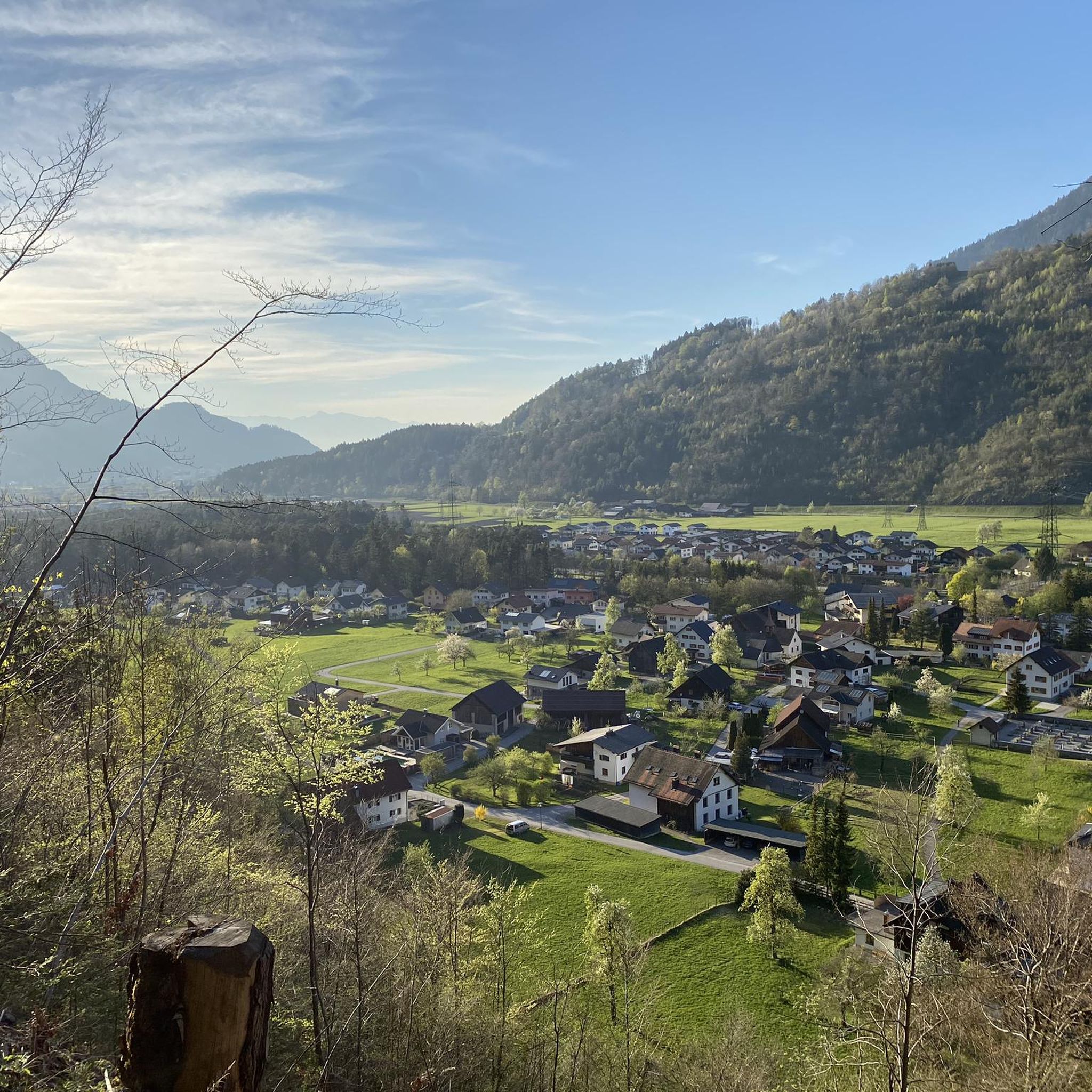
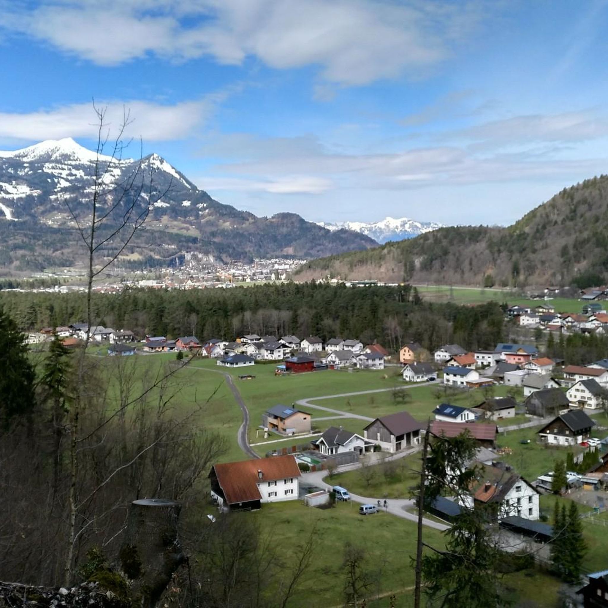
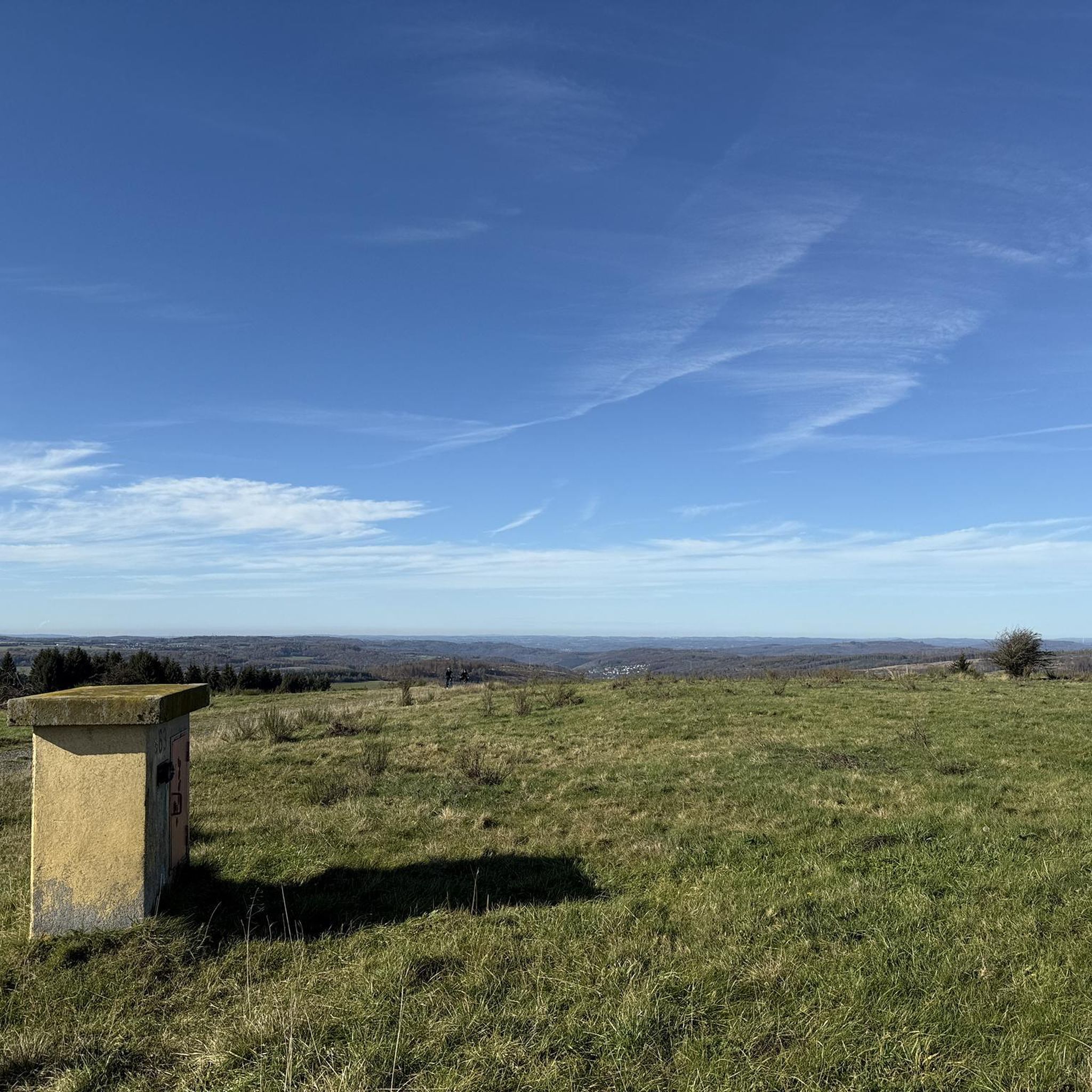
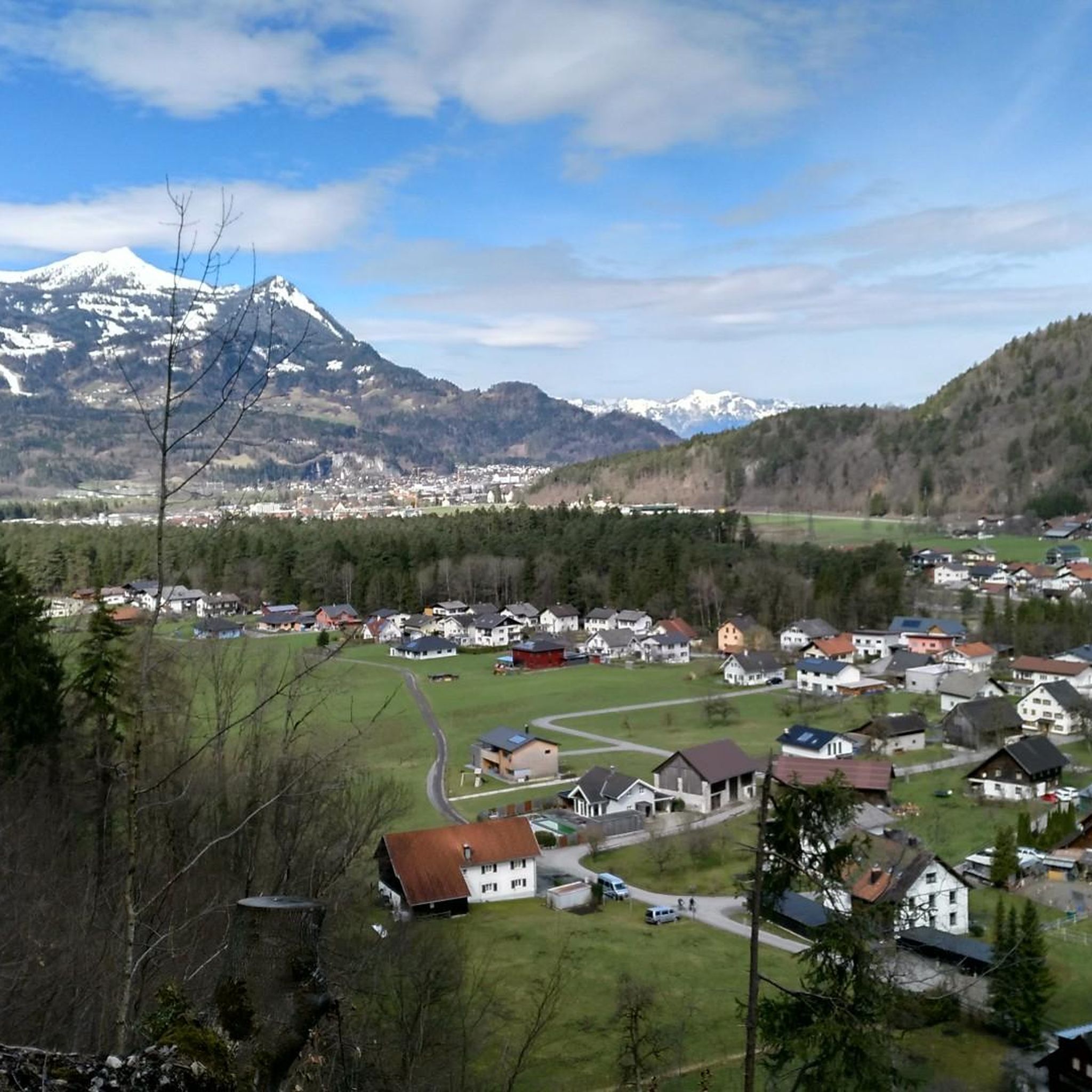
Tips from the Community

On the art hiking trail „Alpine Art“ at Muttersberg, you will discover eight extraordinary works of art that deal with life in the mountains. For example, the sky-blue „Feigen Hochstand“.
0
0

Transition from the Walgau to the large Walsertal valley. Waypoint between Hoher Fraßen (Rapenschrofenweg) to the west, Breithorn and Els Alpe to the east.
0
0

Small viewpoint directly on the path - immediately after that turn left into the forest path
0
0

free parking, approx. 7-8 spaces
0
0

Beautiful hike over the Tiefenseesattel to the Hoher Fraßen. Here you can still enjoy peace and quiet and take a little break to relax. There is usually quite a lot going on at the summit
1
0

You definitely won't be lacking in places to take a break on your hike. Since summer 2022 there has been a new alpine hut directly on the Tiefenseesattel https://clusterrush.io
0
0

The alp was reopened in 2022 and now invites you to take a relaxing break.
0
0

Delicious food and drink at the hut.
1
0
Frequently Asked Questions
How many mountaineering routes are available around Stallehr?
Stallehr offers a wide array of mountaineering experiences, with over 80 routes documented on komoot. These routes cater to various skill levels, from moderate ascents to challenging high-alpine expeditions.
Are there any easy or moderate mountaineering routes suitable for beginners or those seeking a less strenuous climb?
Yes, Stallehr provides options for less experienced mountaineers. You'll find 27 moderate routes and 3 easier ones. For example, the Hoher Fraßen Summit Cross – Frassen Hut loop from Madeisakopf is a moderate 5.6-mile path offering rewarding views without extreme difficulty. The region's diverse landscape ensures there are suitable paths for various ability levels.
What are some of the more challenging mountaineering routes in the Stallehr area?
For experienced mountaineers, Stallehr, particularly its proximity to the Rätikon range, offers demanding ascents. There are 54 difficult routes available. Peaks like Schesaplana, Sulzfluh, and Drei Türme within the Rätikon are significant attractions for those seeking a challenge. A notable difficult route is the Hoher Fraßen Summit Cross – Frassen Hut loop from Bludenz, an 8.0-mile trail through varied alpine terrain.
Are there any circular mountaineering routes around Stallehr?
Yes, many routes in the Stallehr area are designed as loops, allowing you to start and end at the same point. An example is the Mountaineering loop from Sankt Anton im Montafon, a concise alpine experience. Another is the Itonskopf (2,089 m) – Itonskopf Summit loop from Bartholomäberg, offering a longer, challenging circular journey.
What kind of natural landmarks or viewpoints can I expect to see on mountaineering routes near Stallehr?
The region is rich in natural beauty. You can expect panoramic vistas from peaks like Davennakopf, Mondspitze, and Schillerkopf. The Rätikon range offers impressive limestone formations. Additionally, picturesque lakes such as Formarinsee and Lünersee (though the latter is further afield) are highlights. Many trails, including those leading to the Golmer Joch, are celebrated for their great views, sometimes extending to Lake Constance on clear days.
Are there any waterfalls or gorges to explore along the mountaineering trails?
Yes, the Stallehr area and its surroundings feature captivating natural water features. You can explore the dramatic Bürserschlucht Trail, which is a gorge, or visit the Glingabrunn Waterfalls. The tranquil Zalimtal valley also offers clear mountain streams and untouched nature.
What is the best season for mountaineering in Stallehr?
The best season for mountaineering in Stallehr typically runs from late spring through early autumn (roughly June to September). During these months, the weather is generally more stable, snow has melted from higher elevations, and mountain huts are open. Always check local weather forecasts and trail conditions before heading out, as alpine weather can change rapidly.
Are there mountain huts available for overnight stays or refreshments on the routes?
Yes, the region is well-equipped with mountain refuges that provide essential infrastructure for multi-day tours or simply a place to rest and refuel. Notable huts include the Freiburger Hut and the Frassenhütte Mountain Restaurant. These huts offer a chance to experience the high alpine environment more fully.
What do other mountaineers enjoy most about the routes around Stallehr?
The mountaineering routes around Stallehr are highly rated by the komoot community, with an average score of 4.8 stars from over 175 reviews. Reviewers often praise the dramatic alpine setting, the impressive limestone peaks, and the serene alpine valleys. The extensive network of routes, catering to various ability levels, is also frequently highlighted as a positive aspect.
Is public transport available to reach trailheads in the Stallehr area?
While specific public transport details for every trailhead can vary, the Vorarlberg region generally has a good public transport network. Stallehr is located at the exit of the Klostertal valley, which is typically accessible. It's advisable to check local bus and train schedules for connections to specific starting points for your chosen mountaineering route.
Are there any family-friendly mountaineering options in Stallehr?
While many mountaineering routes are challenging, the broader Stallehr region offers a diverse trail network that includes options suitable for families. These might involve shorter, less steep ascents or paths that lead to accessible viewpoints. The Golmerbahn Mountain Station, for instance, provides convenient access to trails of varying difficulty, making higher elevations more accessible for families.
Are permits required for mountaineering in the Stallehr or Montafon region?
Generally, permits are not required for hiking or mountaineering on marked trails in the Stallehr or Montafon region. However, for specific climbing routes, protected areas, or during certain seasons (e.g., hunting season or sensitive wildlife periods), local regulations might apply. It's always recommended to check with local tourist information centers for the most current information regarding any potential restrictions or permits for your planned route.
Most popular attractions around Stallehr

Get inspired with the komoot mobile app


Explore more
Browse the best Mountain Hikes & Routes in other regions.
