The best mountain hikes around Reuthe
4.7
(169)
1,212
hikers
79
hikes
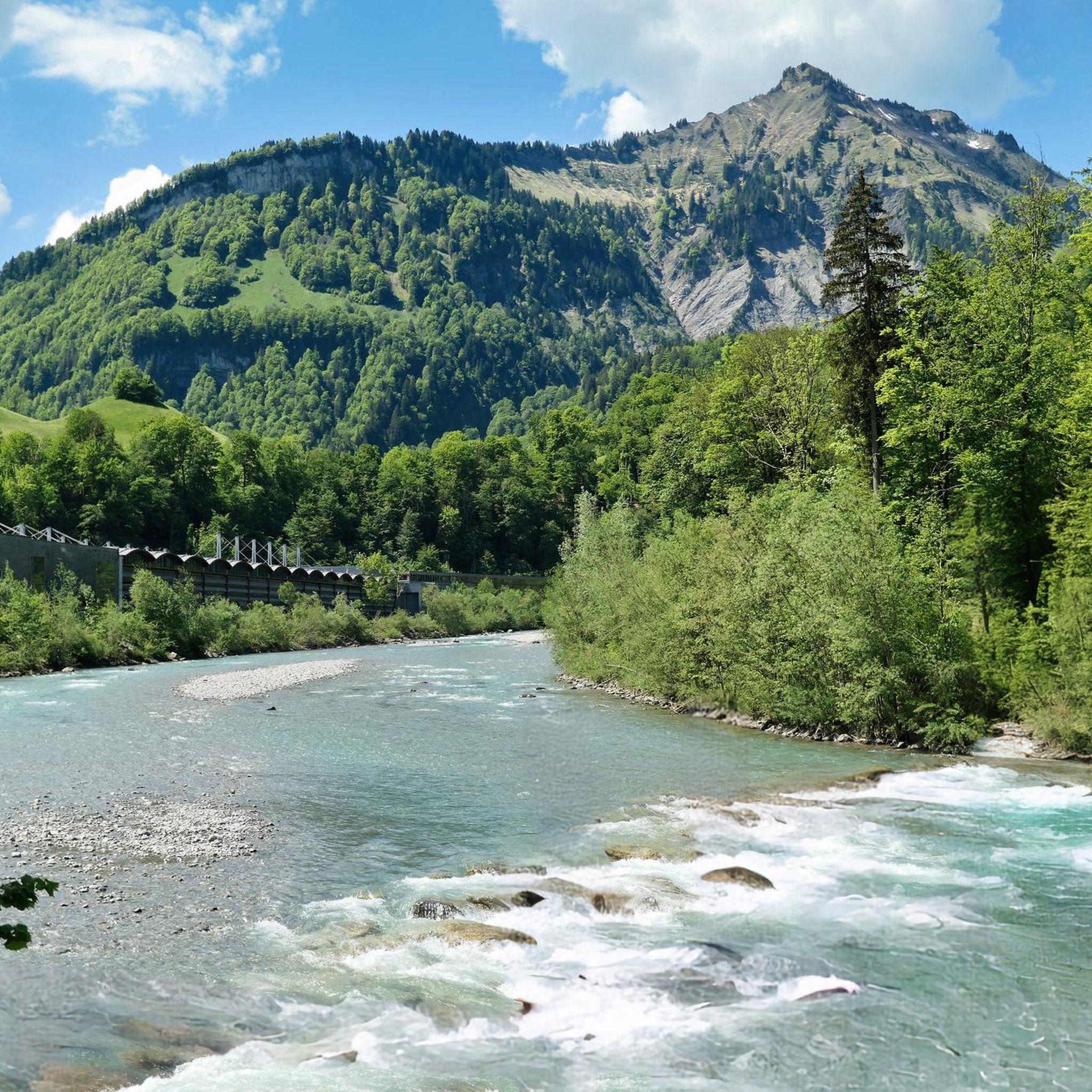
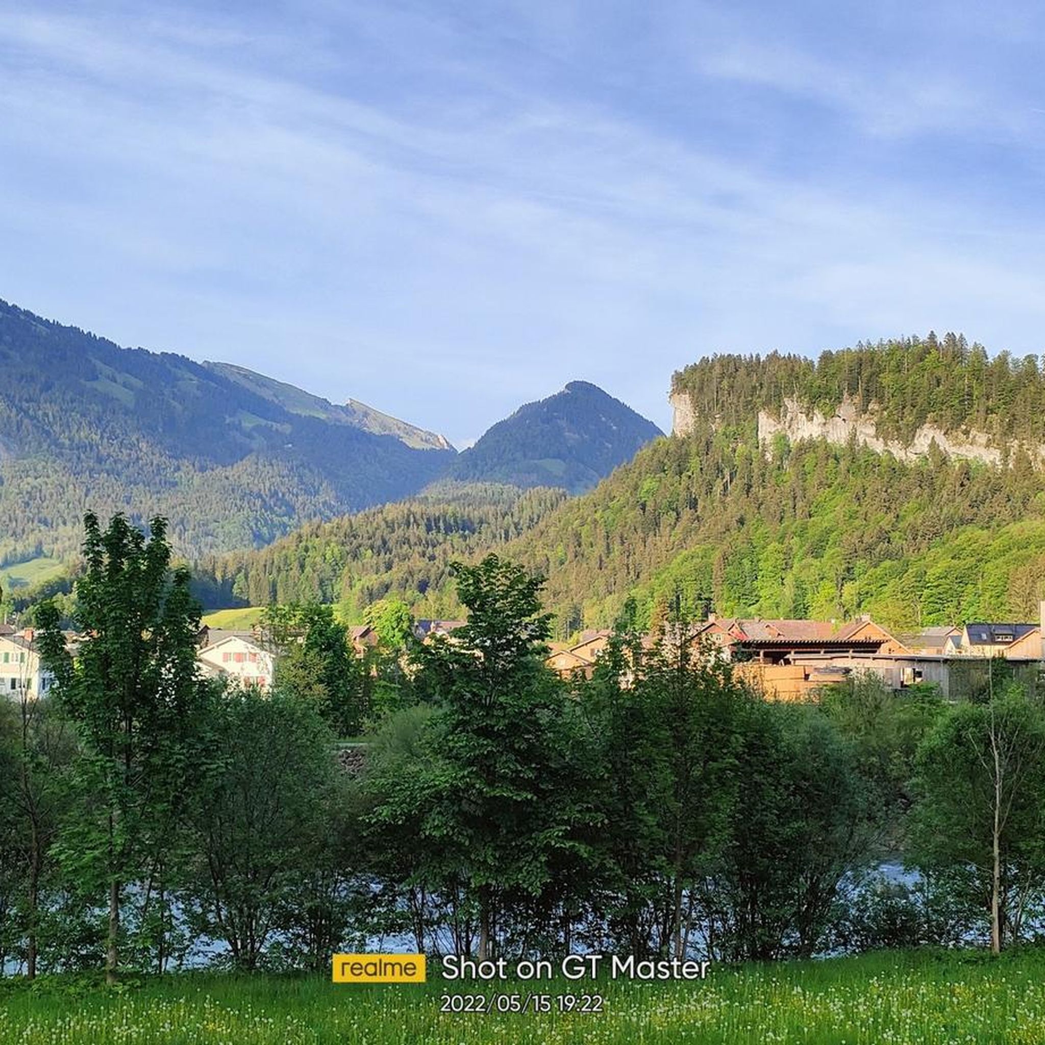
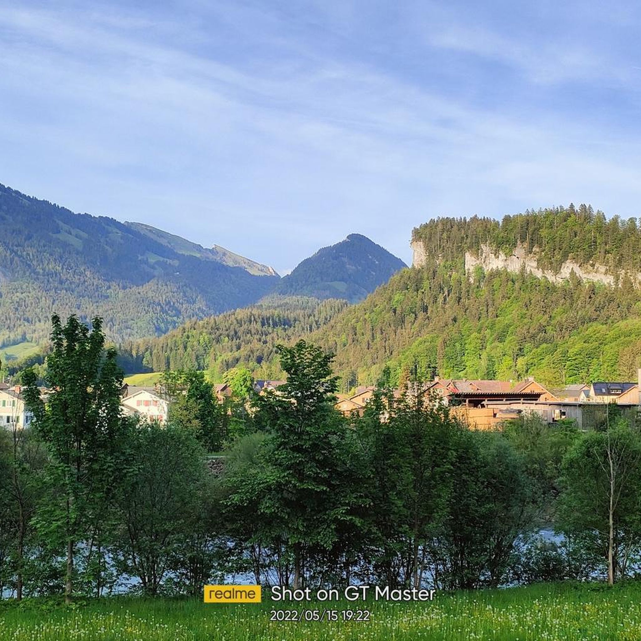
Mountaineering routes around Reuthe are set within the Lechtal and Allgäu Alps, offering diverse terrain for alpine sports. The region features imposing peaks, varied landscapes with steep ascents, and crystal-clear mountain lakes. The Tyrolean Lech Nature Park also contributes to the area's natural beauty, providing a mix of wild river valleys and lush alpine meadows. This combination of features makes Reuthe a notable destination for mountaineering.
Best mountaineering routes around Reuthe
- The most popular mountaineering route is Hoher Stoß –…
Last updated: May 20, 2026
4.9
(9)
47
hikers
15.0km
07:12
1,290m
1,290m
Hard mountaineering route. Very good fitness required. Mostly accessible paths. Sure-footedness required.
25
hikers
8.56km
04:32
910m
910m
Hard mountaineering route. Very good fitness required. Mostly accessible paths. Sure-footedness required.

Sign up for free
4.0
(2)
22
hikers
3.93km
01:23
130m
130m
Moderate mountaineering route. Great for any fitness level. Mostly accessible paths. Sure-footedness required.
4.5
(4)
14
hikers
10.2km
04:18
630m
630m
Hard mountaineering route. Good fitness required. Sure-footedness, sturdy shoes and alpine experience required.
5.0
(4)
11
hikers
Hard mountaineering route. Very good fitness required. Mostly accessible paths. Sure-footedness required.
Get access to more routes and recommendations from other explorers.
Sign up for free
Already have an account?
Our route recommendations are based on thousands of hikes, rides, and runs completed by other people on komoot.
Start today with a free account
Your next adventure awaits.
Login or Signup

Tips from the Community


This is where the large gondola arrives, and there are two huts with sunny terraces. Several trails and ski routes start from here.
3
0

From the summit, the view extends from Lake Constance across the Bregenz Forest and far into Switzerland.
0
0
Good starting point for some hikes and two guesthouses nearby.
3
0
A fairly large basin opens up in the high valley. This normally carries a good amount of water in several small streams.
1
0

The station is easily accessible by train, and at the top, you'll enjoy a wonderful 360-degree view. A panoramic view without any effort. Of course, you can also walk there or start a hike from there.
0
0

Very nice and friendly there
1
0
Frequently Asked Questions
How many mountaineering routes are available around Reuthe?
The Reutte Nature Park Region offers a diverse network of over 80 mountaineering routes. These range from moderate to difficult, with 28 moderate and 53 difficult routes, catering to various skill levels.
What kind of landscapes will I encounter on mountaineering routes in Reuthe?
Mountaineering routes around Reuthe traverse the dramatic Lechtal and Allgäu Alps, featuring imposing peaks, steep ascents, and breathtaking views. You'll also find crystal-clear mountain lakes like the Plansee, and the untouched landscapes of the Tyrolean Lech Nature Park with its wild river and lush alpine meadows.
Are there any circular mountaineering routes in the Reuthe area?
Yes, many routes in the region are circular. For example, the challenging Hoher Stoß – Holenke Summit (Kanisfluh) loop from Mellau offers extensive views across the Kanisfluh massif. Another option is the Stongerhöhe Summit (1,772 m) – Winterstaude Summit loop from Bezirk Bregenz, which provides panoramic vistas from two distinct summits.
What are some notable landmarks or viewpoints along the mountaineering trails?
The region is rich in natural landmarks. You can find impressive gorges like the Rappenloch Gorge and the Alploch Gorge. For panoramic views, consider routes leading to summits such as Hohe Kugel summit (1,645 m) or the Karren Viewing Platform.
Are there any routes suitable for families or beginners?
While many routes are challenging, there are options for less experienced mountaineers. The region offers a variety of trails, including some easier paths. For example, the Panoramic view – Paraglider loop from Bezirk Bregenz is a moderate route that provides scenic views without extreme difficulty.
Can I find routes with waterfalls in the Reuthe area?
Yes, the Reutte Nature Park Region is home to several beautiful waterfalls. The impressive Stuiben Falls feature secured trails, and you can also discover highlights like the Staufensee Waterfall and Dam or the Rehmer Bach Waterfall along various routes.
What do other mountaineers say about the routes in Reuthe?
The mountaineering routes in Reuthe are highly rated by the komoot community, with an average score of 4.8 stars from over 170 reviews. Users often praise the dramatic alpine scenery, the varied terrain, and the rewarding summit views.
Are there any less crowded mountaineering routes for a quieter experience?
While popular routes can see more traffic, the extensive network of over 400 kilometers of trails in the Reutte Nature Park Region means you can often find quieter paths. Exploring routes that lead to peaks like Hangspitze and Mörzelspitze, or venturing into areas like the Mellental, can offer a more serene experience.
What is the best time of year for mountaineering in Reuthe?
The best time for mountaineering in Reuthe is typically from late spring through early autumn (May to October), when the weather is generally stable, and trails are clear of snow. Always check local weather forecasts and trail conditions before heading out, especially in shoulder seasons.
Are there opportunities for multi-day tours with alpine huts?
Yes, the Reutte Nature Park Region features numerous alpine pastures and huts, with 18 available for hikers. These provide excellent opportunities for refreshments and overnight stays, allowing for multi-day mountaineering tours through the stunning alpine landscape.
Are there any guided mountaineering hikes available?
Yes, the Active Card program in the Reutte Nature Park Region offers numerous guided hikes. These allow visitors to explore the area safely and with expert knowledge, which can be particularly beneficial for those new to the region or seeking to learn more about the local environment.
Where can I find parking for mountaineering trails in Reuthe?
Parking facilities are generally available at the starting points of many popular trails and in the villages surrounding Reuthe. It's advisable to check specific route descriptions or local tourist information for detailed parking options for your chosen mountaineering tour.
Most popular routes around Reuthe
Most popular attractions around Reuthe

Get inspired with the komoot mobile app


Explore more
Browse the best Mountain Hikes & Routes in other regions.
