The best mountain hikes around Münchendorf
37
hikers
4
hikes
Mountaineering routes near Münchendorf offer access to the diverse landscapes of Lower Austria, situated close to the Wienerwald and the Anninger region. The terrain is characterized by a mix of hills, valleys, and extensive woodlands, providing varied opportunities for mountain hiking. This area features forested paths, open sections, and prominent hills like the Anninger, which is known for its observation points. The region's natural features contribute to a scenic environment for outdoor exploration.
Best mountaineering routes around Münchendorf
- The most…
Last updated: July 1, 2026
20
hikers
1.94km
00:43
90m
90m
Hard mountaineering route. Great for any fitness level. Sure-footedness, sturdy shoes and alpine experience required.
11
hikers
3.64km
01:11
110m
110m
Hard mountaineering route. Great for any fitness level. Sure-footedness, sturdy shoes and alpine experience required.

Sign up for free
3
hikers
9.41km
03:05
430m
430m
Moderate mountaineering route. Good fitness required. Easily-accessible paths. Suitable for all skill levels.
2
hikers
7.63km
02:36
390m
390m
Moderate mountaineering route. Good fitness required. Easily-accessible paths. Suitable for all skill levels.
1
hikers
8.29km
02:44
350m
350m
Hard mountaineering route. Good fitness required. Sure-footedness, sturdy shoes and alpine experience required.
Our route recommendations are based on thousands of hikes, rides, and runs completed by other people on komoot.
Start today with a free account
Your next adventure awaits.
Login or Signup
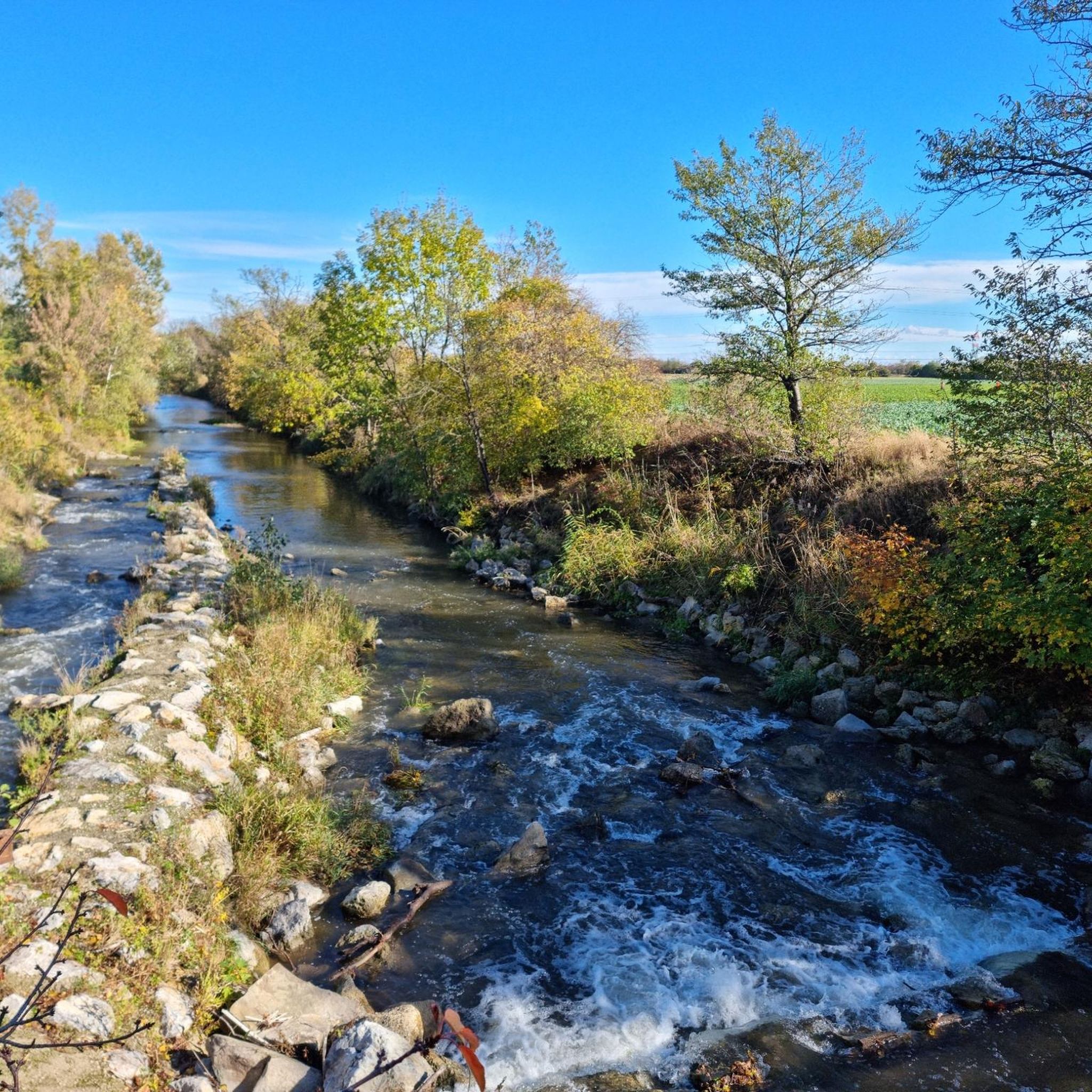
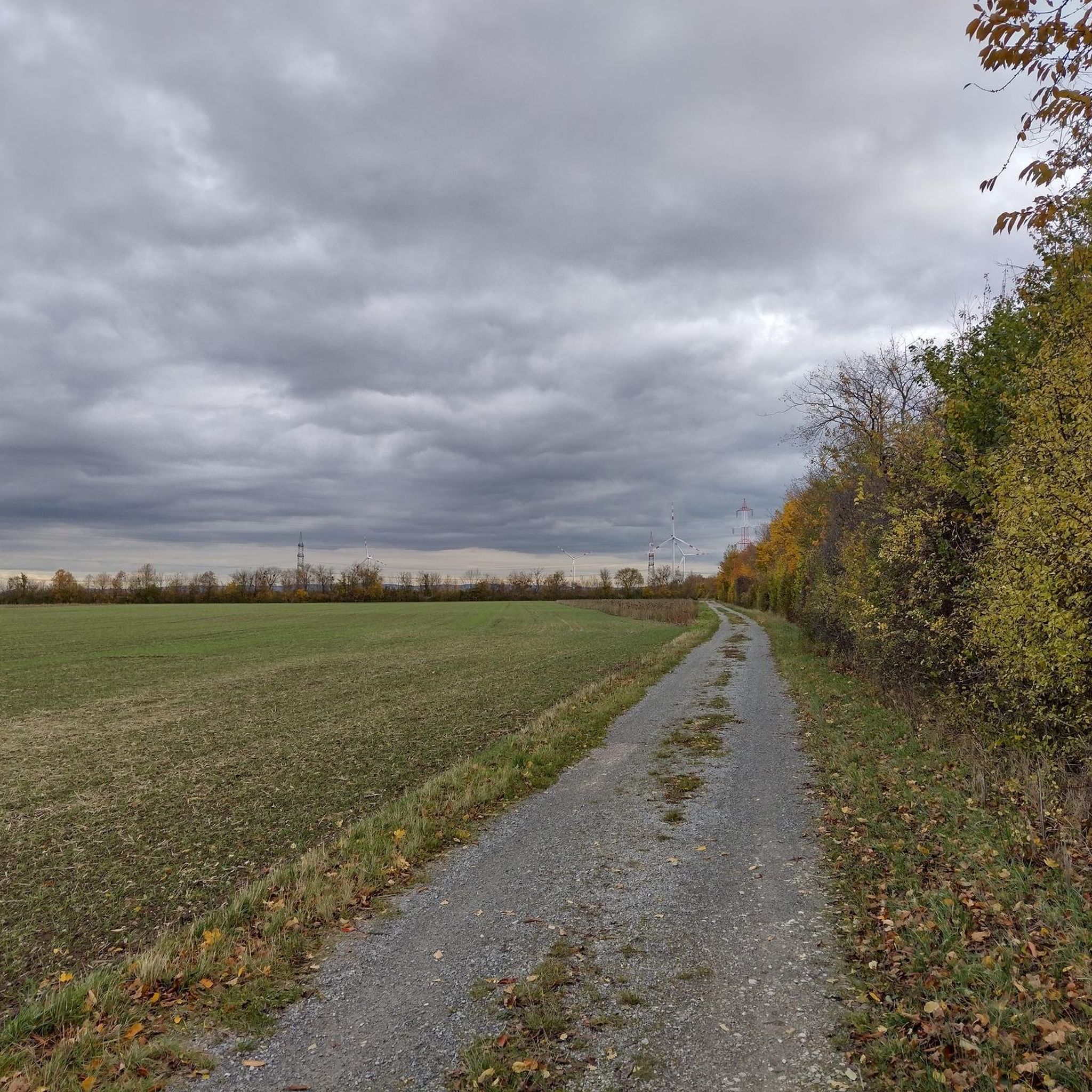
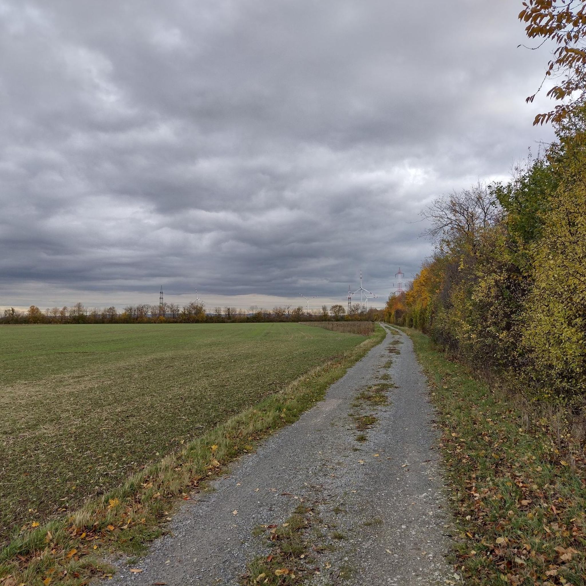
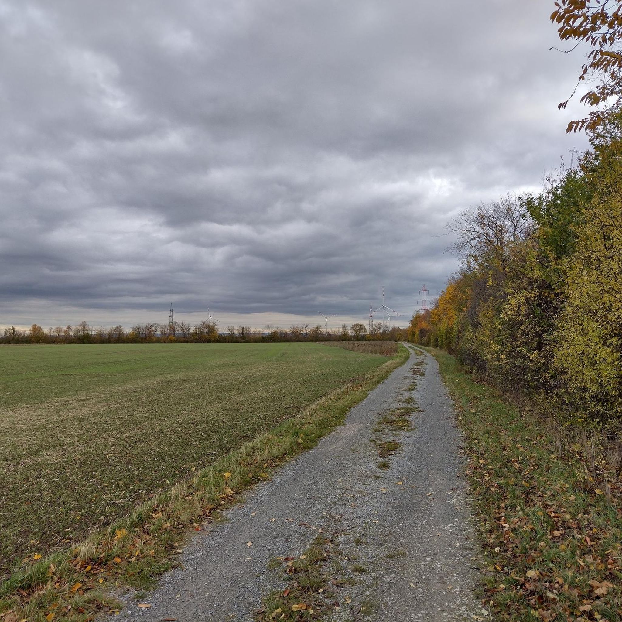
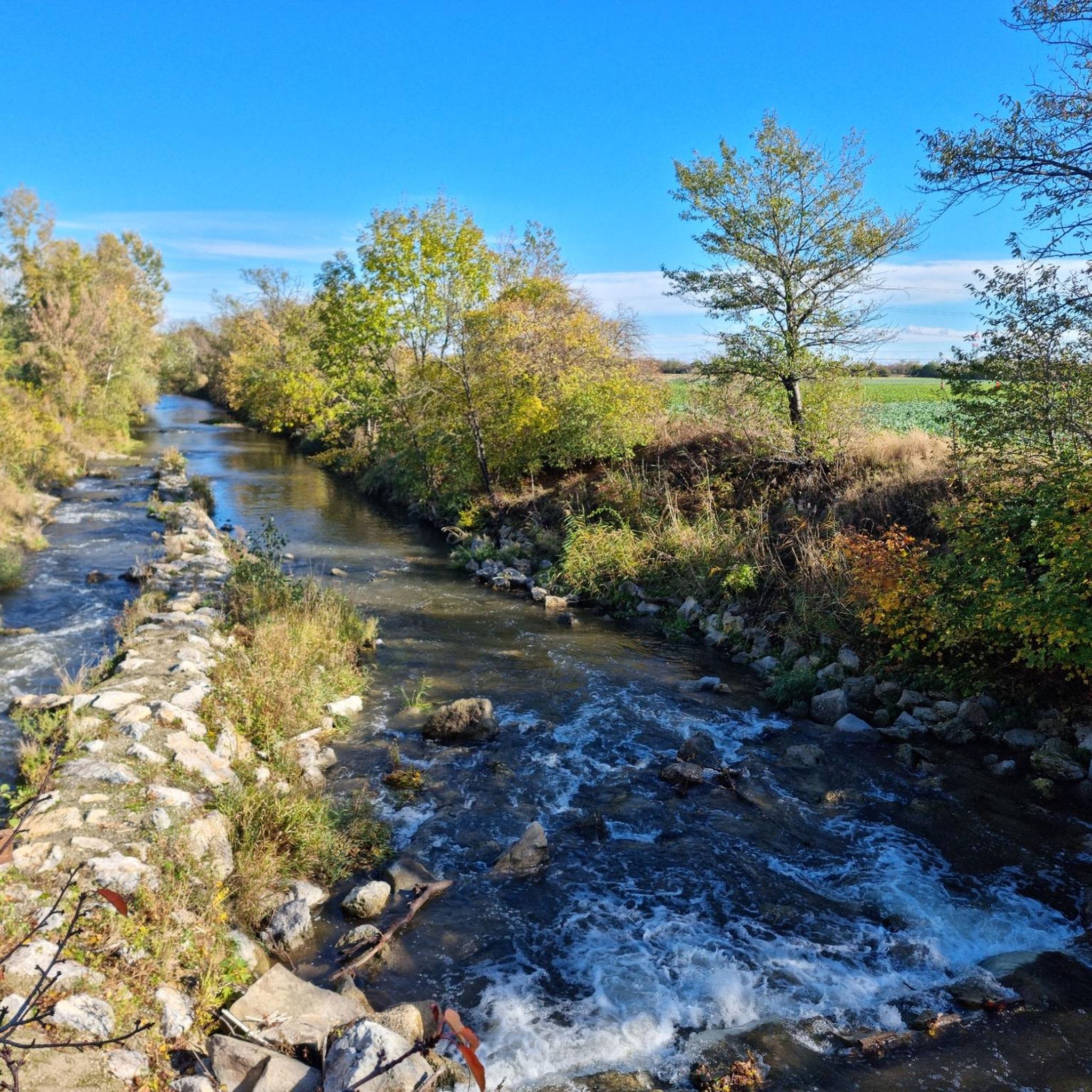
Tips from the Community

There was also a collapse long before 1980. Since then, the cave has been considered prone to collapse. Many rock debris lie in the artificially created entrance tunnel.
1
0

don't hesitate too long, just go up the slope
0
0
this is a very beautiful place
0
0

The Anninger offers the most beautiful panoramic view, stretching from the Schneeberg to Vienna. Please always close the doors. There is shelter at the bottom in case of a storm.
2
1

The Fairy Tale Pond at the Meiereiwiese, a natural gem in transition. In 1999, the former deputy mayor of Mödling, Pepi Wagner, launched an ambitious project with the Fairy Tale Pond at the lower Meiereiwiese. His goal was to reflect the majestic Mödling Castle in a picturesque way in the water and create an attractive recreational area for the citizens. But after 20 years, nature has reclaimed the area, and the former charm of the artificial landscape has almost completely faded. A dense belt of reeds now protects the diverse flora and fauna from the view of hikers. In this protected biotope, it is particularly important to respect nature. Clear rules apply: dogs are not welcome, feeding the ducks is forbidden, and releasing goldfish harms the delicate water quality. To preserve the harmony of this unique habitat, every visitor should heed these requests. Only in this way will the Fairy Tale Pond remain a place of tranquility.
0
1


Beautiful view! Definitely worth a detour!
1
0
Be careful in strong winds
2
1
Frequently Asked Questions
What types of mountaineering routes can I find around Münchendorf?
The Münchendorf area, nestled near the Wienerwald and Anninger region, offers a mix of moderate and difficult mountaineering routes. You'll find paths through forested areas, open sections, and prominent hills with scenic viewpoints. There are 2 moderate and 2 difficult routes featured in this guide, catering to different skill levels.
Are there any easy mountaineering routes suitable for beginners?
Yes, for those seeking a less strenuous experience, the Matterhörndl – View of Mödling Castle loop from Mödling is an easy route. It covers about 5.2 km and offers lovely views, including of Mödling Castle.
What are some challenging mountaineering routes in the Münchendorf area?
For a more challenging experience, consider the Mödlinger Via Ferrata loop from Mödling, a difficult 1.9 km trail with significant elevation gain. Another demanding option is the Mödlinger Via Ferrata – Ruins of Mödling Castle loop from Mödling, which combines challenging sections with historical landmarks over 3.6 km.
Are there any circular mountaineering routes available?
Yes, several routes are circular. For example, the moderate Jubilee Tower on Eschenkogel – Anninger Hut loop from Gumpoldskirchen is a 9.4 km circular trail through the Anninger region. Another circular option is the Anninger Hut – View of the Vienna Woods loop from Gumpoldskirchen, covering 7.6 km.
What natural features or landmarks can I see along the mountaineering routes?
The region offers diverse natural beauty and historical sites. You can encounter natural monuments like Matterhörndl, explore the Einöd Cave, or visit the impressive Liechtenstein Castle. The Anninger region itself features observation points like the Wilhelmswarte and Jubiläumswarte, offering panoramic views.
Are there any interesting caves to explore near the mountaineering trails?
Yes, the area around Münchendorf is home to several caves. You can find the Einöd Cave and Frauenstein Cave. A notable highlight is the Seegrotte Hinterbrühl, known as Europe's largest underground lake.
What are the best viewpoints or scenic spots on these routes?
The Anninger is a key area for scenic views, featuring observation points like the Wilhelmswarte and the Jubiläumswarte, which offer panoramic vistas over the surrounding landscape. Routes like the Anninger Hut – View of the Vienna Woods loop from Gumpoldskirchen are specifically designed to showcase these beautiful perspectives.
What do other mountaineers enjoy about the Münchendorf area?
Mountaineers often appreciate the diverse terrain, from forested paths to open sections, and the prominent hills like the Anninger with its rewarding observation points. The combination of natural beauty and historical landmarks, such as the Mödling Castle ruins, also adds to the appeal. Over 40 mountaineers have explored these routes using komoot.
Are there any places to stop for refreshments or a meal along the trails?
Yes, the Jubilee Tower on Eschenkogel – Anninger Hut loop from Gumpoldskirchen and the Anninger Hut – View of the Vienna Woods loop from Gumpoldskirchen both pass by the Anninger-Schutzhaus, a popular mountain hut known for its culinary offerings and cozy atmosphere, making it an ideal stop for hikers.
What is the general terrain like for mountaineering around Münchendorf?
The terrain around Münchendorf is characterized by the hilly landscape of the Wienerwald. You can expect a mix of extensive woodlands, forested paths, and more open sections, with varying elevations. It's a scenic environment that provides a good challenge for mountain hiking without being overly technical.
How many mountaineering routes are covered in this guide?
This guide features 5 distinct mountaineering routes around Münchendorf, offering a range of difficulties from easy to difficult.
Most popular routes around Münchendorf
Most popular attractions around Münchendorf

Get inspired with the komoot mobile app


Explore more
Browse the best Mountain Hikes & Routes in other regions.
