The best mountain hikes around Tattendorf
5.0
(1)
22
hikers
5
hikes
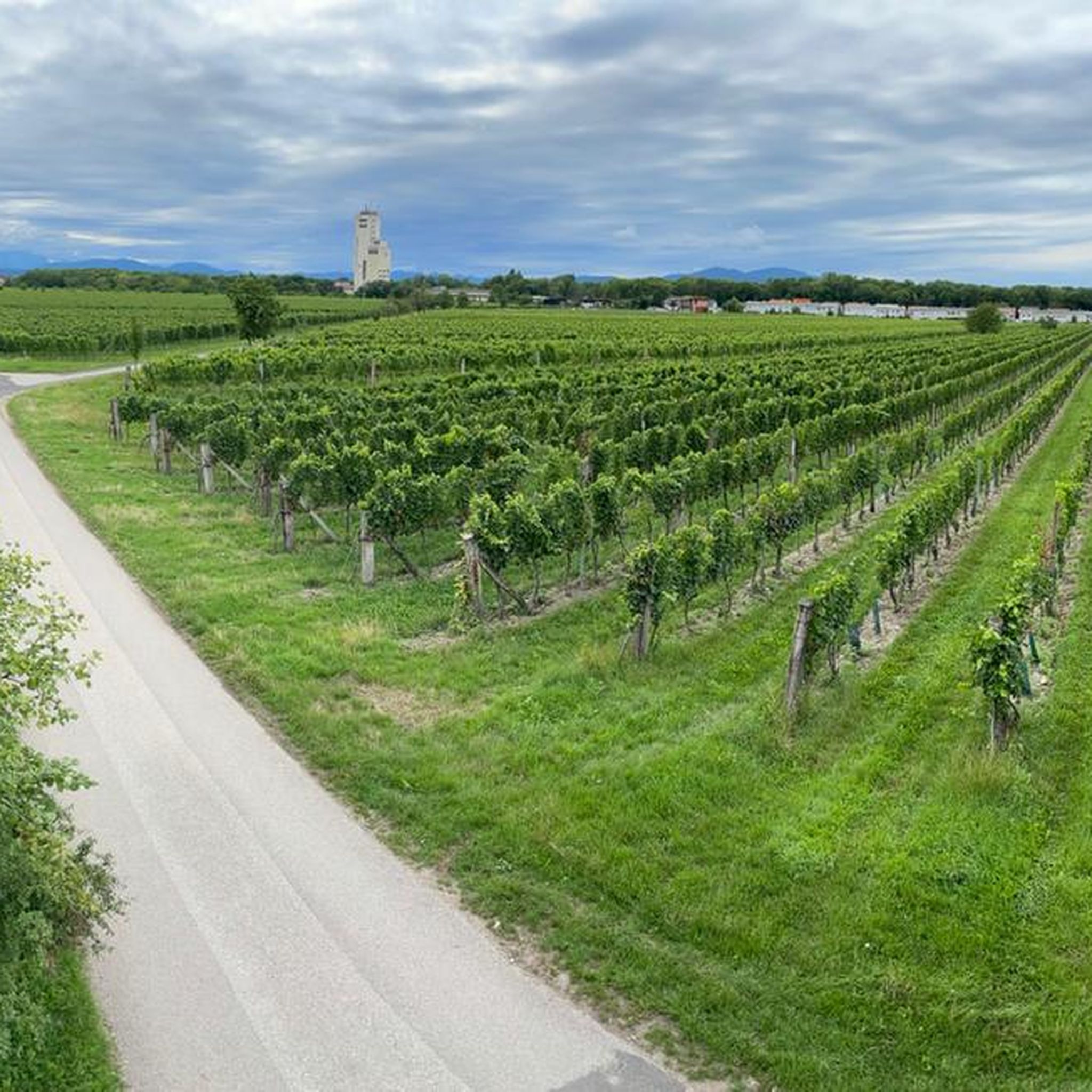
Mountaineering routes around Tattendorf are situated in Lower Austria, characterized by gentle hills, expansive vineyards, and the nearby Vienna Woods. The region, at an elevation of approximately 226 meters, offers varied terrain suitable for exploring natural paths and scenic landscapes. While not high-alpine, the area provides routes through forests and along river valleys, with the Anningerberg (675 meters) offering higher elevations.
Best mountaineering routes around Tattendorf
- The most popular mountaineering route is Schneeberg Viewpoint – Sina Warte Observation Tower loop…
Last updated: July 1, 2026
5
hikers
15.1km
04:57
670m
670m
Hard mountaineering route. Good fitness required. Sure-footedness, sturdy shoes and alpine experience required.
3
hikers
9.41km
03:05
430m
430m
Moderate mountaineering route. Good fitness required. Easily-accessible paths. Suitable for all skill levels.

Sign up for free
5
hikers
Hard mountaineering route. Good fitness required. Sure-footedness, sturdy shoes and alpine experience required.
5.0
(1)
1
hikers
14.4km
04:45
610m
610m
Moderate mountaineering route. Good fitness required. Mostly accessible paths. Sure-footedness required.
2
hikers
7.63km
02:36
390m
390m
Moderate mountaineering route. Good fitness required. Easily-accessible paths. Suitable for all skill levels.
Our route recommendations are based on thousands of hikes, rides, and runs completed by other people on komoot.
Start today with a free account
Your next adventure awaits.
Login or Signup
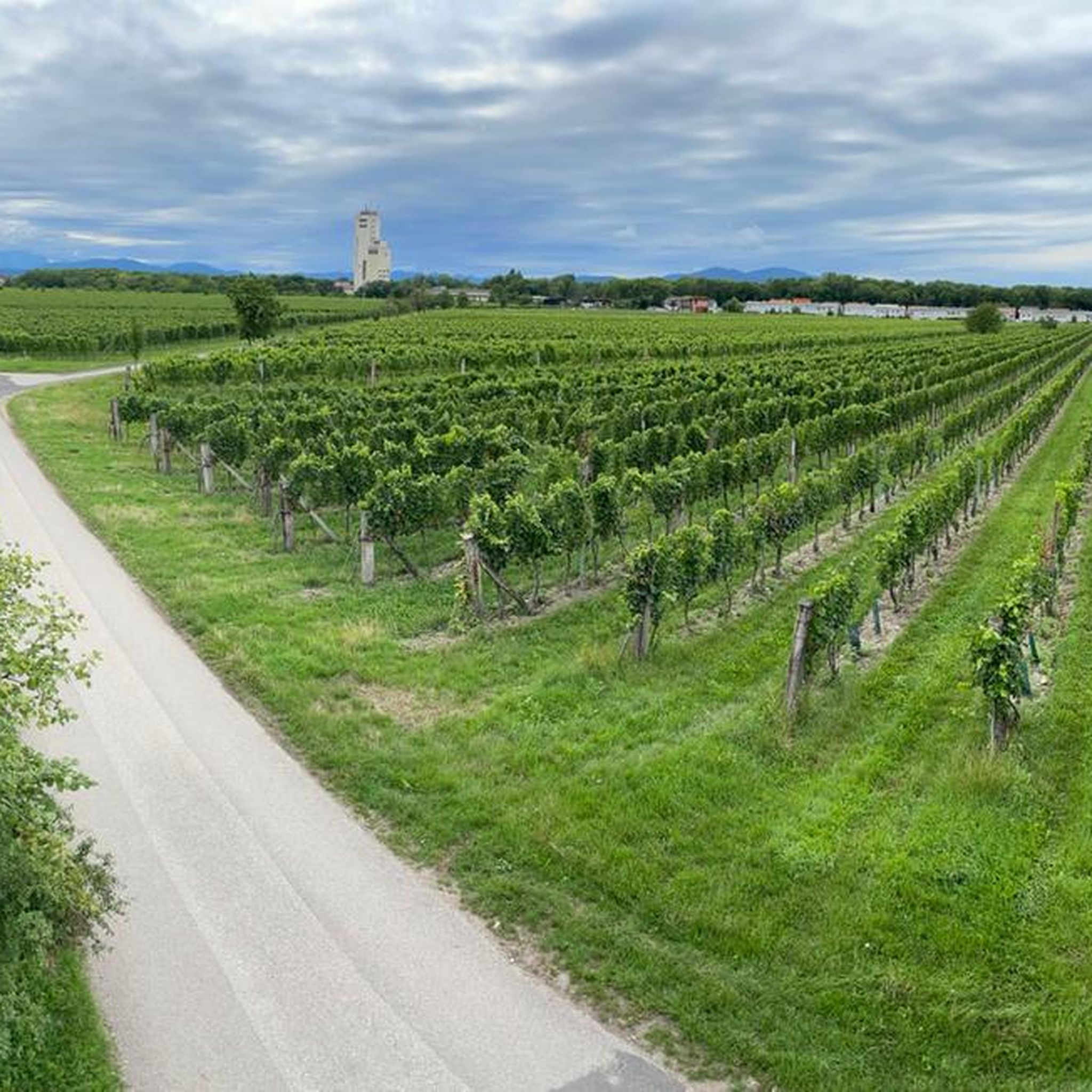
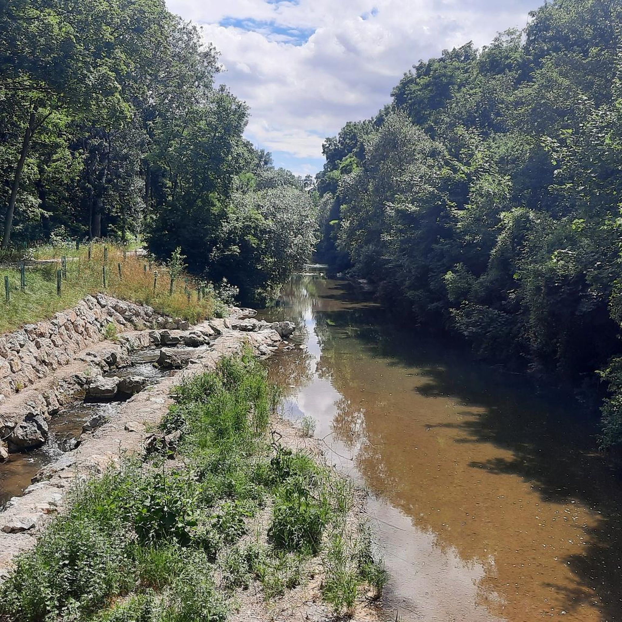
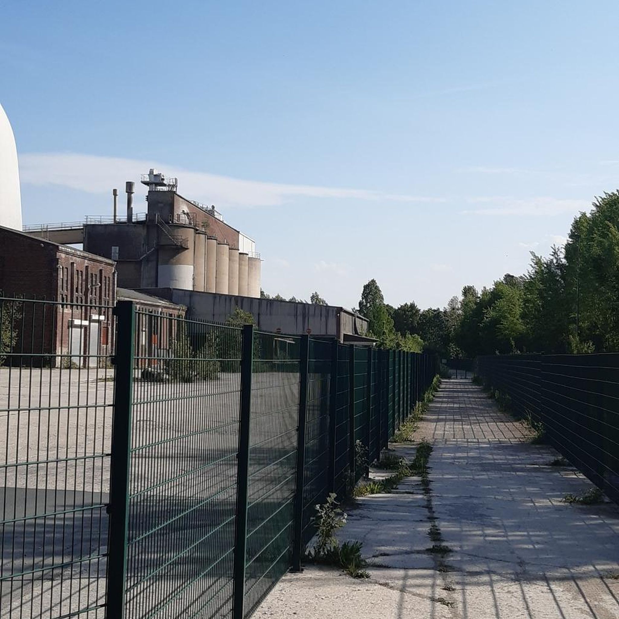
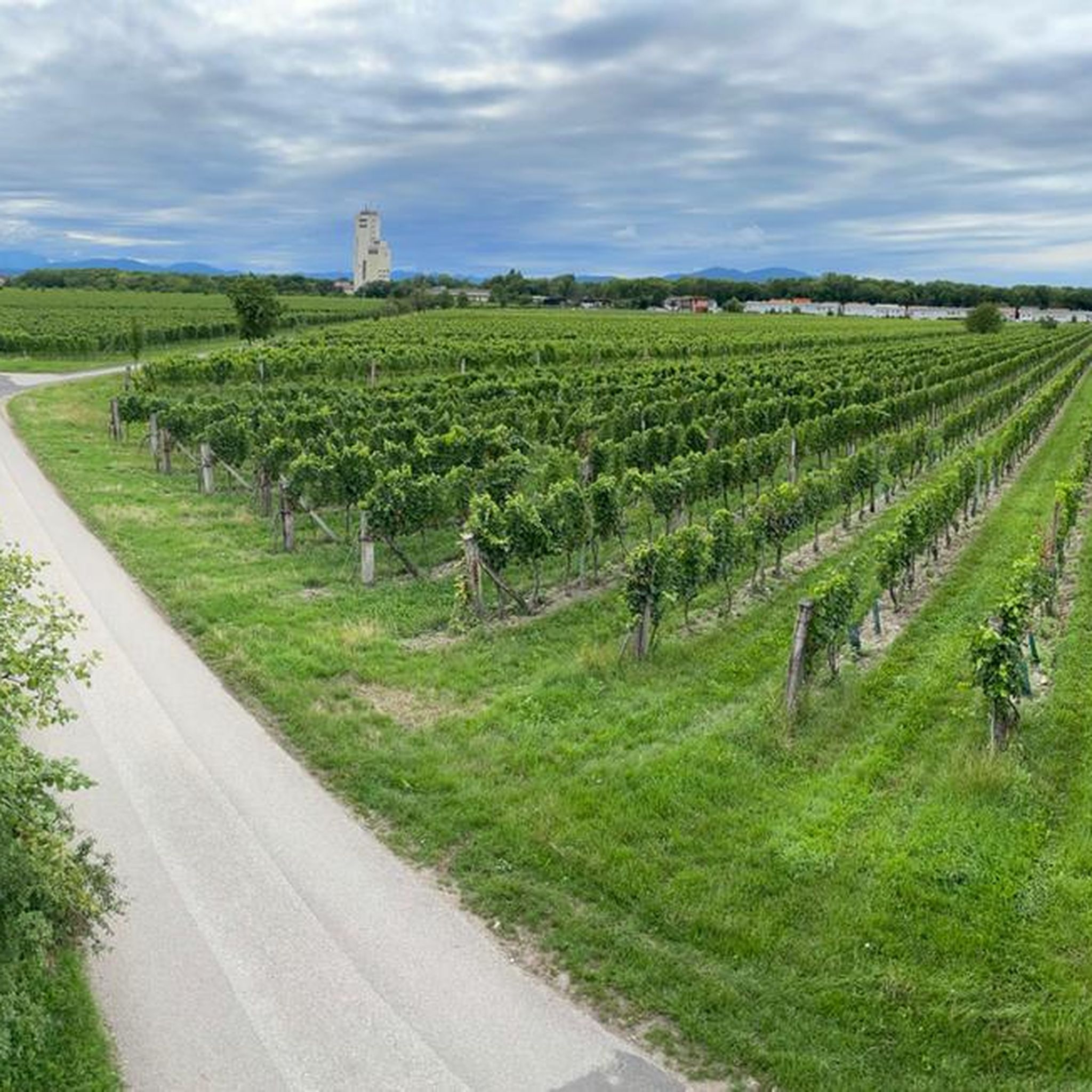

Tips from the Community

There was also a collapse long before 1980. Since then, the cave has been considered prone to collapse. Many rock debris lie in the artificially created entrance tunnel.
1
0

A rewarding climb with a short, secured steep ascent over a rocky step.
0
0

The Anninger offers the most beautiful panoramic view, stretching from the Schneeberg to Vienna. Please always close the doors. There is shelter at the bottom in case of a storm.
2
1

The Iron Gate is the striking summit of the Hoher Lindkogel (836 m) and a popular destination in the Vienna Woods. At the top, you'll enjoy sweeping views over the Vienna Basin and the Alpine foothills, as well as the nearby Sina Lookout. A classic hiking destination that ideally combines nature, history, and panoramic views.
1
0
The Sina-Warte (Sina Lookout) stands atop the Hoher Lindkogel (834 m) in the Vienna Woods and is one of the region's most famous observation towers. From its platform, visitors can enjoy impressive panoramic views of the Vienna Basin, the foothills of the Alps, and, on a clear day, all the way to Vienna. Built in the 19th century, the tower commemorates Countess Sina and is a worthwhile destination for hikers and view lovers.
3
0

A perfect resting place in clear weather
2
0

Beautiful view! Definitely worth a detour!
1
0
Frequently Asked Questions
What kind of terrain can I expect on mountaineering routes near Tattendorf?
Mountaineering routes around Tattendorf are characterized by gentle hills, expansive vineyards, and dense woodlands, particularly within the nearby Vienna Woods. While not high-alpine, the area offers varied terrain suitable for exploring natural paths along river valleys like the Triesting-Au, with some routes ascending to higher elevations such as the Anningerberg.
Are there any family-friendly mountaineering routes in the Tattendorf area?
While the listed mountaineering routes are generally moderate to difficult, the broader Tattendorf region is very family-friendly. You'll find numerous hiking and cycling paths through gentle hills and vineyards, such as the 'Experience Vineyards' nature trail. For a unique adventure, the Doblhoff Pond area also offers attractions like the Dino Park and Kletterpark Tattendorf, which provide climbing experiences suitable for various ages.
What are some of the more challenging mountaineering routes around Tattendorf?
For those seeking a challenge, the Tattendorf area offers difficult routes such as the Schneeberg Viewpoint – Sina Warte Observation Tower loop from Sooß, which covers 15.2 km with significant elevation gain. Another demanding option is the Sina Warte Observation Tower – Eisernes Tor – Hoher Lindkogel loop from Sooß, a 14.8 km trail leading through forested hills and past landmarks.
Are there any circular mountaineering routes available?
Yes, many of the mountaineering routes around Tattendorf are designed as loops. For instance, the Jubilee Tower on Eschenkogel – Anninger Hut loop from Gumpoldskirchen is a moderate 9.4 km path that features a tower and a hut. Another great circular option is the Anninger Hut – View of the Vienna Woods loop from Gumpoldskirchen, offering scenic views over 7.6 km.
What are the best seasons for mountaineering in Tattendorf?
The Tattendorf region is enjoyable for outdoor activities throughout much of the year. Spring brings wildflowers to the vineyards, while autumn offers vibrant foliage, making these seasons particularly scenic for mountaineering. Summer is also suitable, though it's advisable to start earlier in the day to avoid the midday heat. Winter conditions can vary, but many trails remain accessible for hiking, especially the gentler routes.
Are there any scenic viewpoints or landmarks along the mountaineering routes?
Yes, several routes offer rewarding viewpoints and landmarks. The Schneeberg Viewpoint – Sina Warte Observation Tower loop from Sooß leads to an observation tower with expansive views. The Anningerberg area, featured in routes like the Jubilee Tower on Eschenkogel – Anninger Hut loop from Gumpoldskirchen, provides panoramic vistas. You can also discover viewpoints like the Klesheimwarte and Rudolf-Proksch Hut, and historical sites such as the St. Urbanus Chapel along various hiking paths in the region.
What nearby attractions can I explore after a mountaineering trip?
After your mountaineering adventure, Tattendorf and its surroundings offer several attractions. You can visit the Doblhoff Pond area, which hosts the Dumba Park, Dino Park, and Schmetterlingwelt (Butterfly World). For a refreshing dip, the Badeteich Oberwaltersdorf is a popular lake nearby. If you're interested in natural formations, the region also features several caves, including the King's Cave.
Are there any moderate mountaineering routes suitable for intermediate hikers?
Absolutely. The Tattendorf area has several moderate mountaineering routes perfect for intermediate hikers. The Jubilee Tower on Eschenkogel – Anninger Hut loop from Gumpoldskirchen is a popular choice, offering varied forest terrain. Another excellent moderate option is the Pagler Felsen – Sooßer Lindkogel Trail loop from Sooß, which covers 14.3 km through scenic landscapes.
What do other mountaineers enjoy most about the routes in Tattendorf?
The mountaineering routes around Tattendorf are highly rated by the komoot community, with an average score of 5.0 stars. Reviewers often praise the varied terrain, the peaceful atmosphere of the woodlands, and the rewarding views from points like the Sina Warte Observation Tower. The well-maintained paths and the blend of natural beauty with historical landmarks are also frequently highlighted.
Is it possible to access mountaineering trails around Tattendorf using public transport?
Tattendorf is situated in Lower Austria, and while specific trailheads might require a short walk or local bus connection, the region generally has public transport options. For detailed information on reaching specific starting points for routes, it's recommended to check local bus and train schedules connecting to towns like Sooß or Gumpoldskirchen, which are common starting points for many tours.
Are there any places to eat or drink near the mountaineering trails?
Yes, the Tattendorf region, known for its vineyards, offers various opportunities for refreshments. Many routes pass through or near villages where you can find traditional Austrian taverns (Heurigen) or cafes. For example, the Jubilee Tower on Eschenkogel – Anninger Hut loop from Gumpoldskirchen includes the Anninger Hut, which often provides food and drinks, making it a convenient stop during your tour.
Most popular routes around Tattendorf
Most popular attractions around Tattendorf

Get inspired with the komoot mobile app


Explore more
Browse the best Mountain Hikes & Routes in other regions.
