The best mountain hikes around Hirtenberg
5.0
(1)
22
hikers
6
hikes
Mountaineering routes near Hirtenberg are situated in Lower Austria, where the market town lies at the confluence of the Triesting River. The region transitions from flat plains to elevated terrain, characterized by gentle hills reaching up to 470 meters, marking the initial foothills of the Lower Austrian Prealps. The landscape features an extensive network of trails winding through vineyards, meadows, and forests, predominantly dry black pine and oak. These routes often involve significant elevation gain and offer views of the…
Last updated: July 1, 2026
5
hikers
Moderate mountaineering route. Good fitness required. Mostly accessible paths. Sure-footedness required.
5
hikers
15.1km
04:57
670m
670m
Hard mountaineering route. Good fitness required. Sure-footedness, sturdy shoes and alpine experience required.

Sign up for free
5
hikers
Hard mountaineering route. Good fitness required. Sure-footedness, sturdy shoes and alpine experience required.
5.0
(1)
1
hikers
14.4km
04:45
610m
610m
Moderate mountaineering route. Good fitness required. Mostly accessible paths. Sure-footedness required.
3
hikers
Hard mountaineering route. Very good fitness required. Sure-footedness, sturdy shoes and alpine experience required.
Our route recommendations are based on thousands of hikes, rides, and runs completed by other people on komoot.
Start today with a free account
Your next adventure awaits.
Login or Signup
Tips from the Community


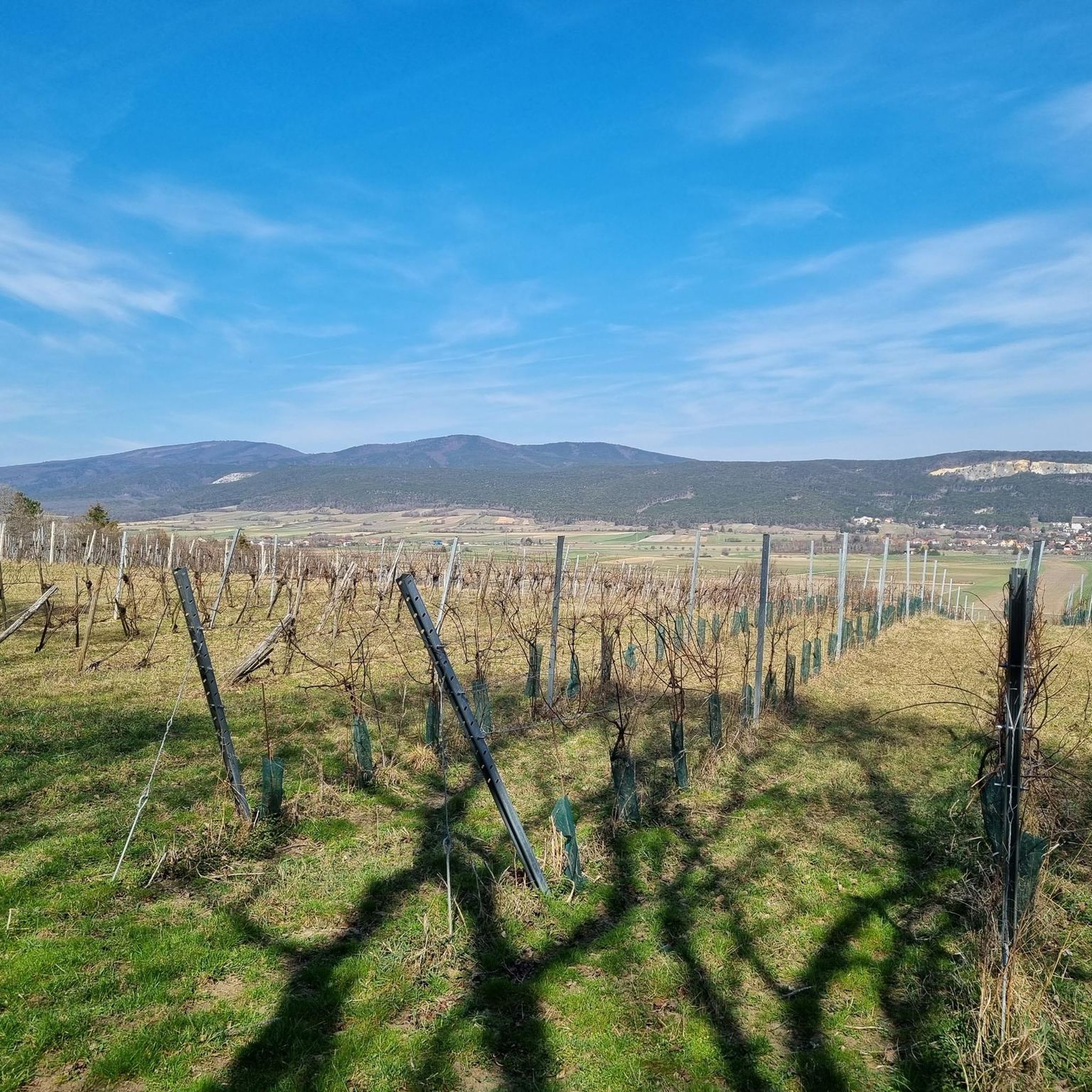
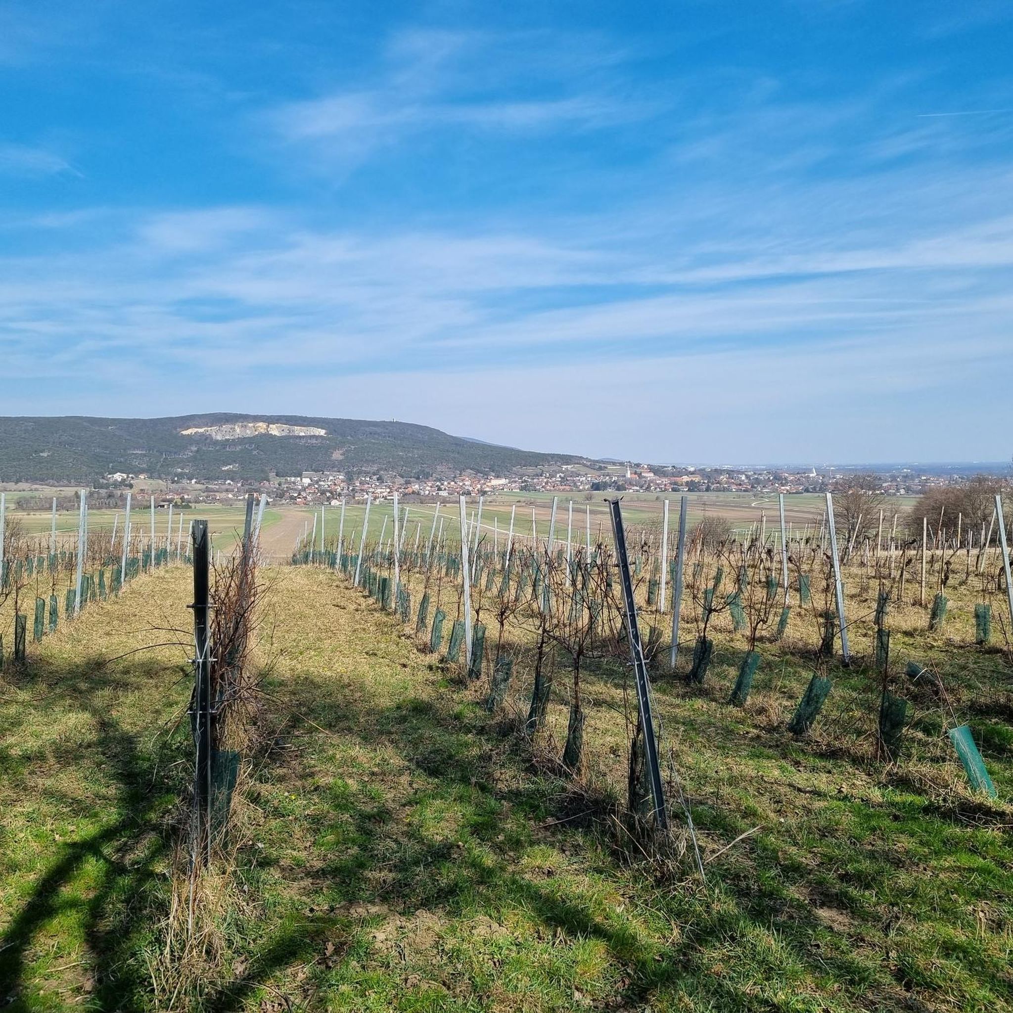
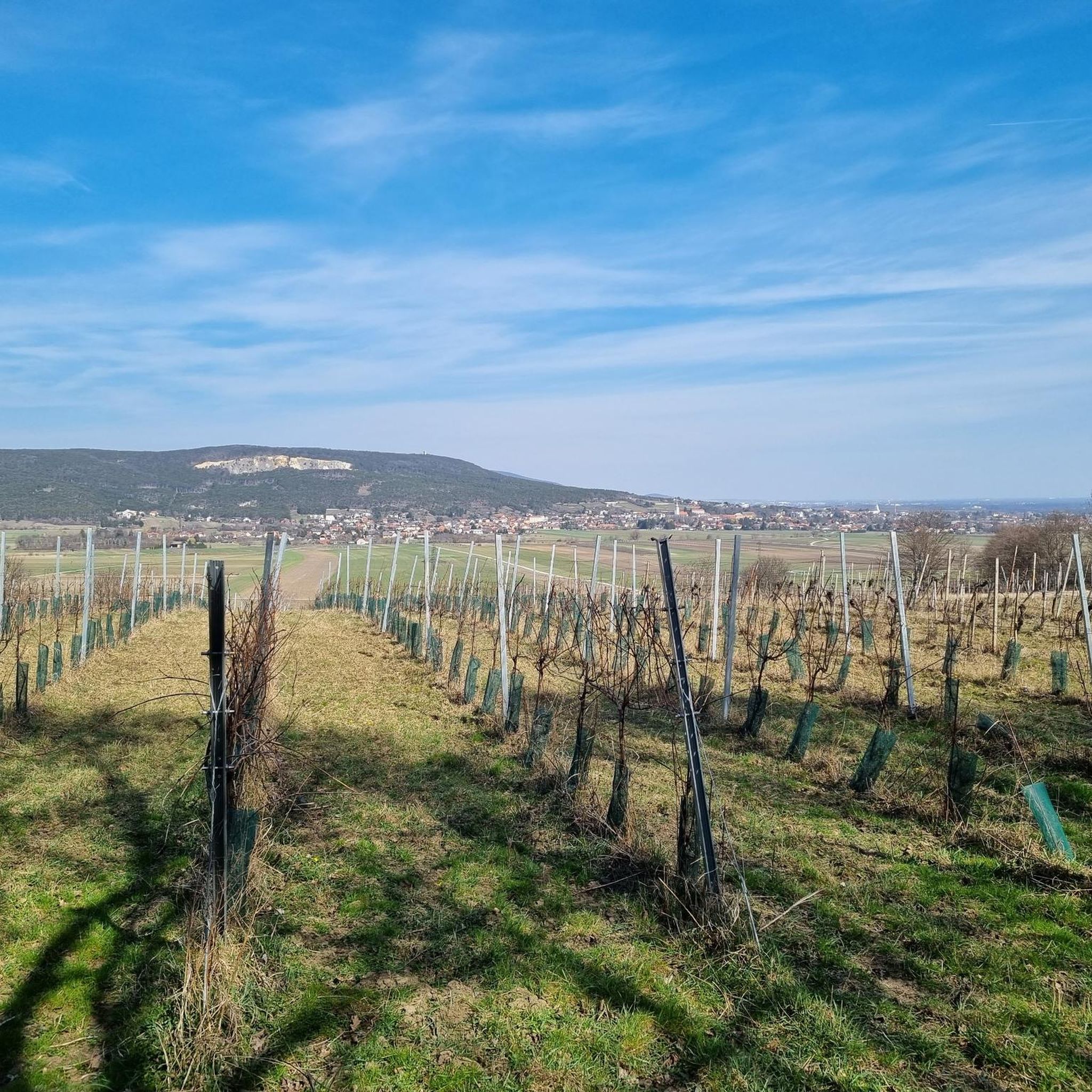
Here you get a very beautiful view in the direction of Vienna.
0
0

A rewarding climb with a short, secured steep ascent over a rocky step.
0
0

The Iron Gate is the striking summit of the Hoher Lindkogel (836 m) and a popular destination in the Vienna Woods. At the top, you'll enjoy sweeping views over the Vienna Basin and the Alpine foothills, as well as the nearby Sina Lookout. A classic hiking destination that ideally combines nature, history, and panoramic views.
1
0
The Sina-Warte (Sina Lookout) stands atop the Hoher Lindkogel (834 m) in the Vienna Woods and is one of the region's most famous observation towers. From its platform, visitors can enjoy impressive panoramic views of the Vienna Basin, the foothills of the Alps, and, on a clear day, all the way to Vienna. Built in the 19th century, the tower commemorates Countess Sina and is a worthwhile destination for hikers and view lovers.
3
0

A perfect resting place in clear weather
2
0

Now in summer, the damage from the autumn floods is no longer visible. Quite the opposite: when the water level is low, those suffering from the heat seek cooling in the Schwechat.
0
0

Frequently Asked Questions
What kind of terrain can I expect on mountaineering routes around Hirtenberg?
The mountaineering routes around Hirtenberg traverse a diverse landscape, transitioning from flat plains to elevated terrain. You'll find trails winding through vineyards, across gentle meadows, and into forests, predominantly dry black pine and oak. While the immediate surroundings feature gentle hills up to 470 meters, some routes involve significant elevation gain, offering a taste of the Lower Austrian Prealps.
Are there any circular mountaineering routes available in Hirtenberg?
Yes, several routes are designed as loops, allowing you to start and end in the same location. For example, the Ruins of Merkenstein Castle – Iron Gate Mountain Hut loop from Katastralgemeinde Gainfarn is a moderate 10.5 km circular trail. Another option is the more challenging Schneeberg Viewpoint – Sina Warte Observation Tower loop from Sooß, covering 15.2 km.
What are some of the longer and more challenging mountaineering routes in the area?
For those seeking a more demanding experience, routes like the Sina Warte Observation Tower – Iron Gate Mountain Hut loop from Ruine Rauhenstein offer a significant challenge, spanning 16.5 km with over 700 meters of elevation gain. Another difficult option is the Sina Warte Observation Tower – Eisernes Tor – Hoher Lindkogel loop from Sooß, which is 14.8 km long and features varied terrain.
Are there any viewpoints or landmarks to see along the mountaineering trails?
Absolutely. Many routes offer impressive views and pass by notable landmarks. The Sina Warte Observation Tower is a popular feature on several trails, providing panoramic vistas. You might also encounter historical sites like the Ruins of Merkenstein Castle or natural features such as the Jubilee Lookout on Guglzipf.
What is the best time of year for mountaineering in Hirtenberg?
Hirtenberg's trails are generally accessible for mountaineering from spring through autumn. The Pannonian climatic influence means the region experiences relatively dry conditions. While specific recommendations depend on personal preference and route difficulty, the warmer months typically offer the most pleasant weather for exploring the diverse forests and open meadows.
Are there any mountain huts or places to rest along the routes?
Yes, some mountaineering routes in Hirtenberg pass by or near mountain huts where you can take a break. The Iron Gate Mountain Hut is a notable stop on several trails, including the Ruins of Merkenstein Castle – Iron Gate Mountain Hut loop. Other huts in the wider area include the Vöslauer Hut and the Guglzipf Forest Hut.
What do other mountaineers say about the routes in Hirtenberg?
The mountaineering routes in Hirtenberg are highly regarded by the komoot community, holding an average rating of 5.0 stars. Users often appreciate the varied terrain, the impressive views from elevated points, and the opportunity to experience the foothills of the Lower Austrian Prealps.
Are there any moderate mountaineering routes suitable for those with some experience but not advanced skills?
Yes, Hirtenberg offers several moderate routes that provide a good challenge without requiring advanced mountaineering skills. The Pagler Felsen – Sooßer Lindkogel Trail loop from Sooß is a moderate 14.3 km route with over 600 meters of elevation gain, offering a rewarding experience for those with good fitness.
Can I reach the mountaineering trailheads using public transport?
While many trailheads are easily accessible by car, public transport options to the general Hirtenberg area are available. For specific routes, it's advisable to check local bus or train schedules to nearby towns like Sooß or Katastralgemeinde Gainfarn, which serve as starting points for some of the listed tours. Planning your journey in advance is recommended.
What kind of natural features or wildlife might I encounter on the trails?
The region's diverse forests, including dry black pine, oak, and beech, provide a rich habitat. You'll experience varied flora and fauna, especially along trails like the Steinkamperl Forest Nature Trail, which is designed for an immersive educational experience. Keep an eye out for local birdlife and smaller forest animals.
Are there parking facilities available near the mountaineering routes?
Yes, parking is generally available near the starting points of many mountaineering routes. Towns like Sooß and Katastralgemeinde Gainfarn, which are common access points for these trails, typically offer designated parking areas. It's always a good idea to check specific trailhead information for the most accurate parking details.
Most popular routes around Hirtenberg
Most popular attractions around Hirtenberg

Get inspired with the komoot mobile app


Explore more
Browse the best Mountain Hikes & Routes in other regions.
