The best walks and hikes around Steinbach an der Steyr
4.4
(670)
5,265
hikers
48
hikes
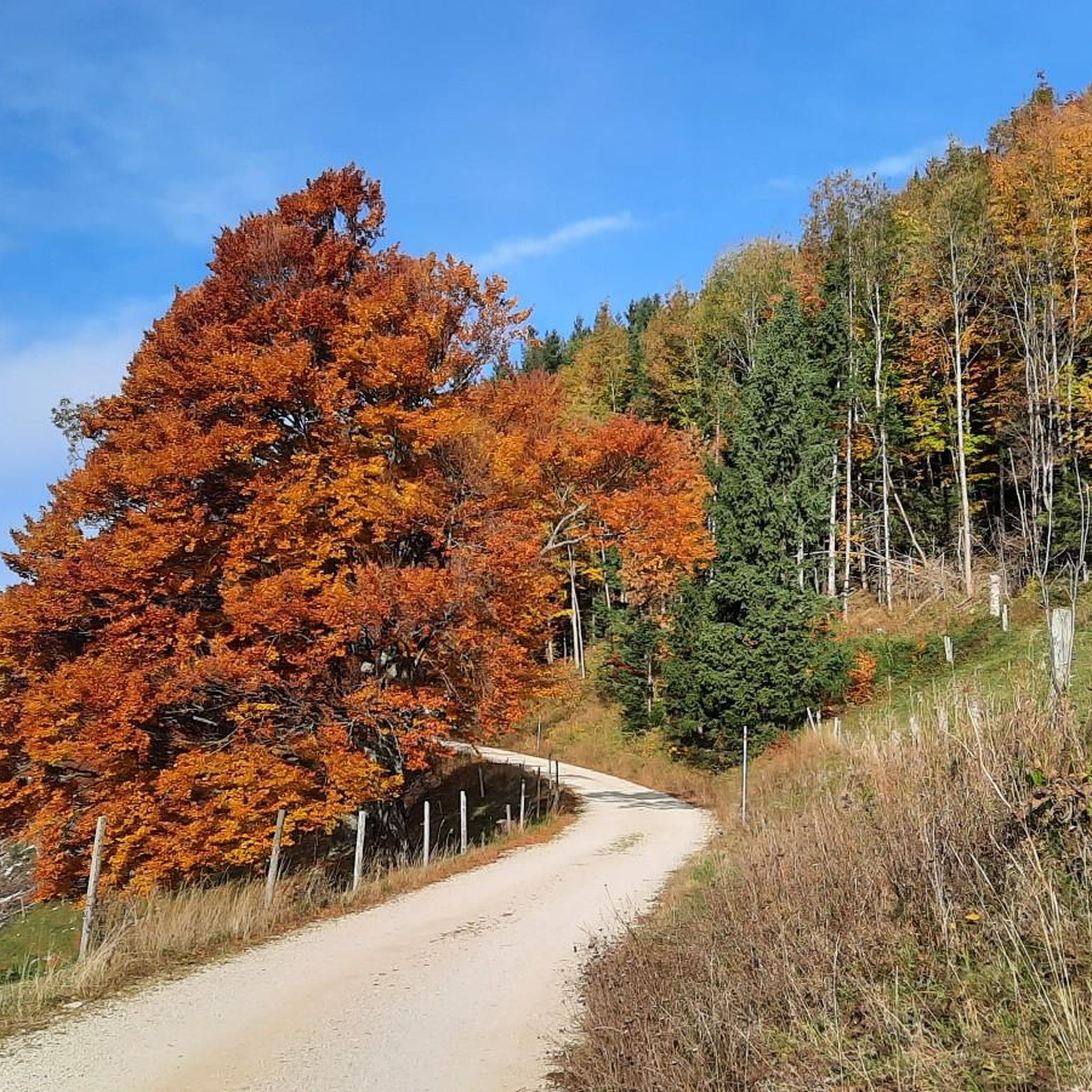
Hiking around Steinbach an der Steyr is characterized by diverse topography, including green meadows, dense forests, and rolling hills. The region is situated in the Steyr Valley, with the Steyr River flowing along its western side, and borders the Limestone Alps. Prominent elevations include the Hochbuchberg, the highest hill in the municipality at 1,273 meters (4,177 ft), and the nearby Grünburger Hütte lodge. This landscape provides a mix of challenging mountain routes and leisurely walks.
Best hiking trails around Steinbach…
Last updated: October 4, 2026
4.8
(31)
461
hikers
6.76km
03:02
540m
540m
Moderate hike. Good fitness required. Mostly accessible paths. Sure-footedness required.
4.7
(24)
331
hikers
8.18km
03:53
720m
720m
Moderate hike. Good fitness required. Mostly accessible paths. Sure-footedness required.

4.6
(36)
181
hikers
10.6km
04:32
770m
770m
Moderate hike. Good fitness required. Mostly accessible paths. Sure-footedness required.
4.6
(31)
168
hikers
Moderate hike. Good fitness required. Mostly accessible paths. Sure-footedness required.
4.3
(10)
132
hikers
Moderate hike. Good fitness required. Mostly accessible paths. Sure-footedness required.
Get access to more routes and recommendations from other explorers.
Already have an account?
Our route recommendations are based on thousands of hikes, rides, and runs completed by other people on komoot.
Start today with a free account
Your next adventure awaits.
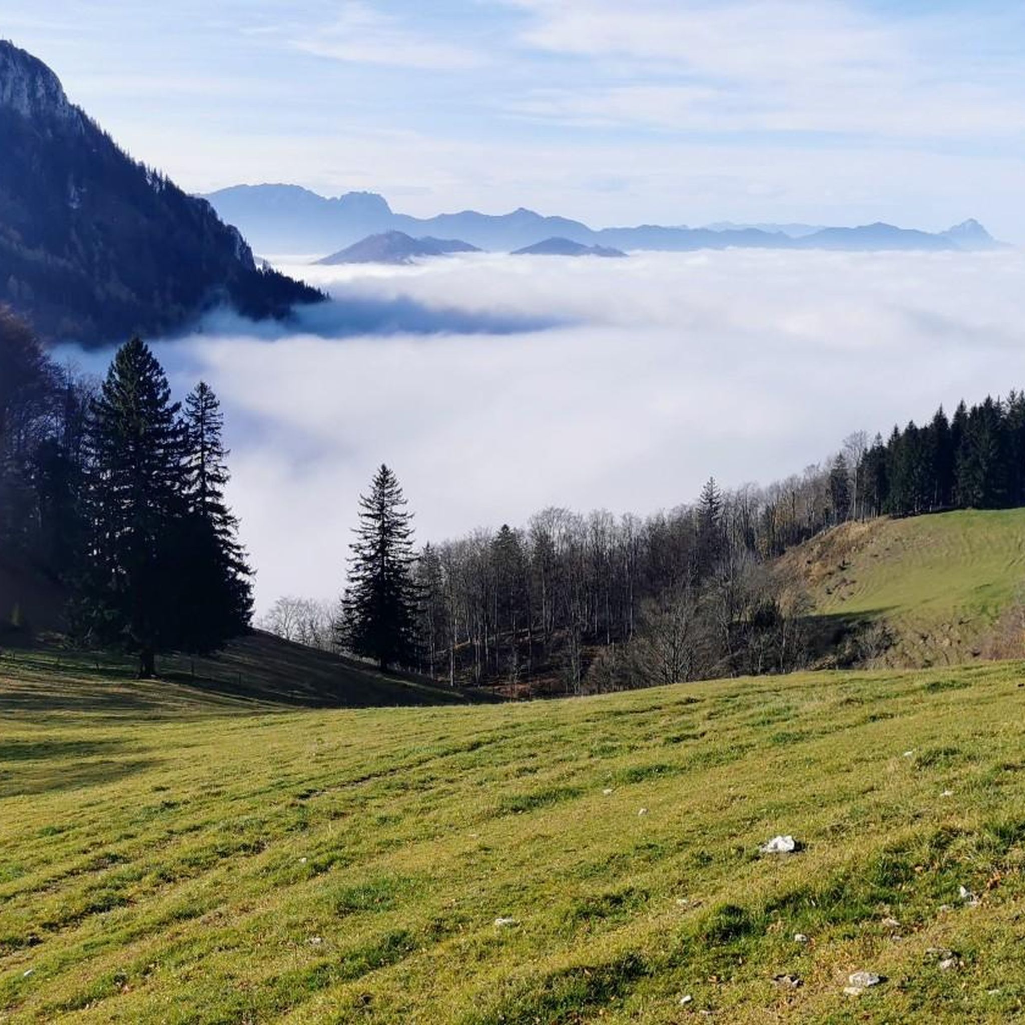
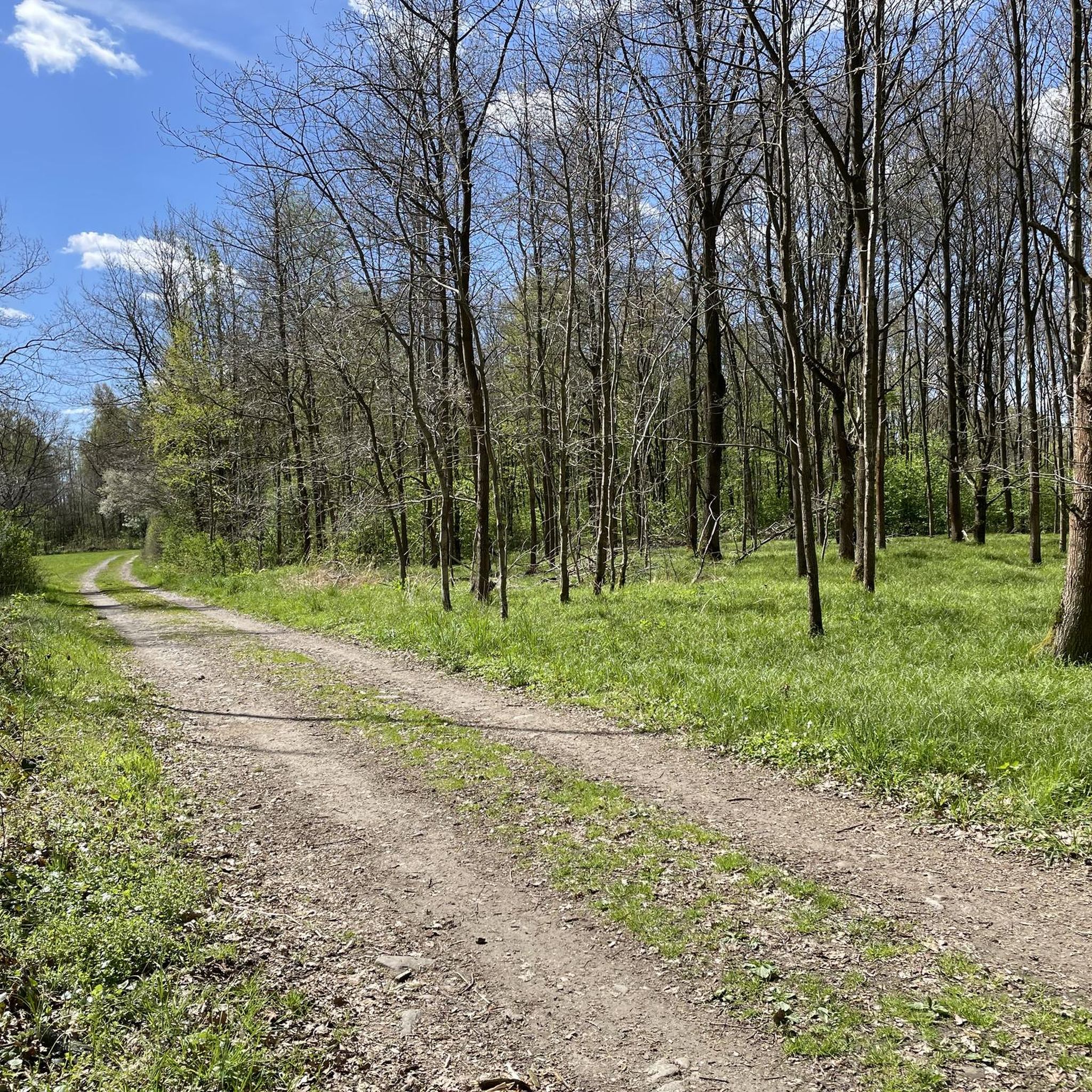
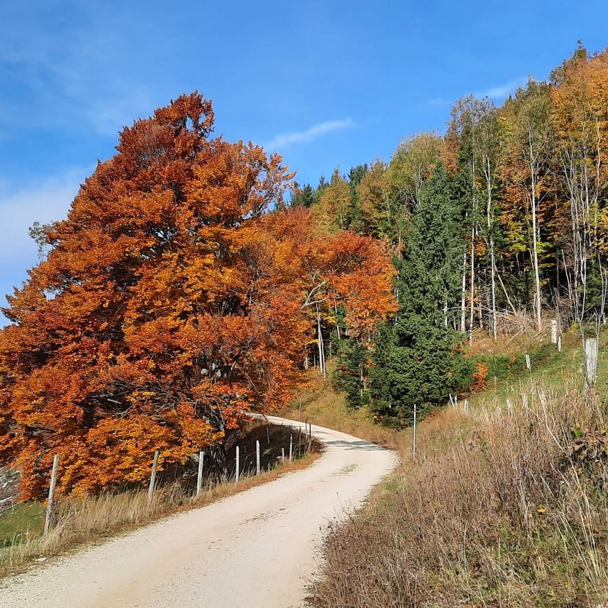
Tips from the Community

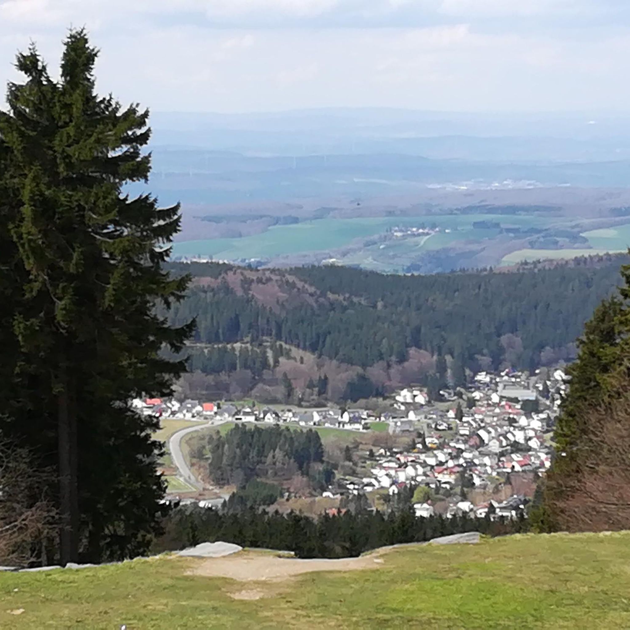
with clear visibility, you can see all the way to Mühlviertel!
0
0

Sacred small monuments like the summit cross found here are not only found on the go in villages and towns or in nature, but also in literature. Probably the most famous crucifix of this kind is to be found with the author Giovanni Guareschi (1908 to 1968). He is the spiritual father of the humorous stories about the two protagonists 'Don Camillo' and 'Peppone'. In his narratives – known and loved far beyond the borders of Italy – Guareschi has incorporated another main character: the crucified Christ, who speaks to Don Camillo from the crucifix on the high altar. The writer himself made the following remark: „So one must explain: If the priests feel offended because of Don Camillo, they can smash a candlestick on my skull for all I care; if the communists are offended because of Peppone, they can break a club on my back; but if someone feels offended by the speeches of Christ, then nothing can be done. Whoever speaks in my stories… is my Christ, that is, the voice of my conscience. My personal affair, my business. And therefore: every man for himself and God for all.“ (G. Guareschi)
0
0
In front of this crucifix with the (perhaps surprising) name "Schneeherrgott" (Lord of Snow), a brief thought from Pope Francis – who passed away on Easter Monday of the previous year. Although he could no longer personally participate in the traditional Way of the Cross prayer with the Holy Father in the Colosseum in Rome on Good Friday 2025 due to health reasons, he formulated the question in the meditation he wrote for the occasion: + "Where are we on Golgotha? Under the cross? At some distance? Far away? Or perhaps we are like the apostles, no longer there." and then continues the meditation: "You breathe, and this breath, the last and the first, only asks to be accepted. Lord Jesus, lead us to your gift. Do not let your breath of life dissipate."
0
0

From the Giofelkreuz Kruckenbrettl a beautiful ridge path to the Herndleck.
1
0
Junction of the unmarked trail up from the Alpaca Mountain Farm down to the chapel with hiking trail no. 409 Grünburghütte/Herndleck.
0
0

A beautiful summit with an interesting climb.
5
0
Beautiful view of the Upper Austrian foothills.
5
0
Hut with wonderful views on the northern edge of the Alpine foothills. Excellent cuisine and friendly service.
7
1
Frequently Asked Questions
How many hiking trails are available around Steinbach an der Steyr?
There are over 50 hiking routes around Steinbach an der Steyr, catering to various skill levels. This includes 11 easy routes, 35 moderate routes, and 4 more challenging trails.
What natural features can I expect to see on hikes in Steinbach an der Steyr?
The region is rich in natural beauty, featuring green meadows, dense forests, and rolling hills within the Upper Austrian Pre-Alps. You can discover prominent peaks like Hochbuchberg and Teufelskirche, the scenic Steyr River valley, and natural attractions such as the Dorngraben Waterfall and the unique Dripping Wall.
Are there any circular hiking routes in Steinbach an der Steyr?
Yes, many routes are designed as loops. For example, the moderate View of the Ybbstal Alps – Grünburger Hut loop from Parkplatz Rieserberg offers panoramic views, or the Knieknübel Summit (1000 m) – Teufelskirche Summit Cross loop from Wanderparkplatz Riegler Seff takes you over two summits.
What is the best time of year for hiking in Steinbach an der Steyr?
The best seasons for hiking are spring and summer, when the weather is mild and nature is in full bloom. Autumn also offers a spectacular display of colors in the region's extensive forests, making it a beautiful time to visit.
Are there any family-friendly hiking options in the area?
Yes, Steinbach an der Steyr offers several family-friendly options. The "Energy Adventure Hiking World Steinbach an der Steyr" features four circular routes with interactive stations, designed to be largely barrier-free and stroller-friendly. The Buchenberg-Warteberg Nature Park is also recommended for families, offering leisurely strolls alongside a treetop path and a zoo.
Can I find trails with waterfalls in Steinbach an der Steyr?
Absolutely. The region is home to the Dorngraben Waterfall, which can be incorporated into several hikes. A popular moderate route is the Dorngraben Waterfall – Grünburger Hut loop from Rieserberg, which leads directly past it. You might also encounter the Fallerbucht Waterfall.
What do other hikers say about the trails in Steinbach an der Steyr?
The routes in Steinbach an der Steyr are highly rated by the komoot community, with an average score of 4.5 stars from over 500 reviews. Hikers often praise the diverse terrain, well-maintained paths, and the stunning natural beauty, including the panoramic views and the tranquil forest sections.
Are there any mountain huts or places to stop for refreshments along the trails?
Yes, the Grünburger Hut, located at 1,080 meters, is a popular refreshment stop for hikers. It's accessible via various routes, including the Grünburger Hut – Dorngraben Waterfall loop from Rieserberg.
Are there any specific viewpoints or landmarks to look out for?
Hikers can enjoy breathtaking views from peaks like Hochbuchberg, Kruckenbrettl, and Teufelskirche. Notable landmarks include the Großer Landsberg summit and the unique Steinbach an der Steyr Riverside and Dam.
What is the typical terrain like on hikes in Steinbach an der Steyr?
The terrain is quite varied, ranging from gentle paths through green meadows and dense forests to more challenging ascents on rolling hills and prominent peaks. You'll encounter well-maintained trails, some leading through deep, natural river canyons, offering a mix of easy walks and more demanding mountain excursions.
Are there any longer, more challenging hikes available?
For those seeking a longer challenge, the Dorngraben Waterfall – Grünburger Hut loop from Leonstein is a moderate 15.4 km route that offers a substantial day out. The region also features several routes that traverse multiple thousand-meter peaks, providing rewarding experiences for experienced hikers.
Most popular routes around Steinbach an der Steyr
Most popular attractions around Steinbach an der Steyr

Get inspired with the komoot mobile app


Explore more
Browse the best Hikes in other regions.
