The best running trails around Aurach am Hongar
5.0
(14)
399
runners
28
runs
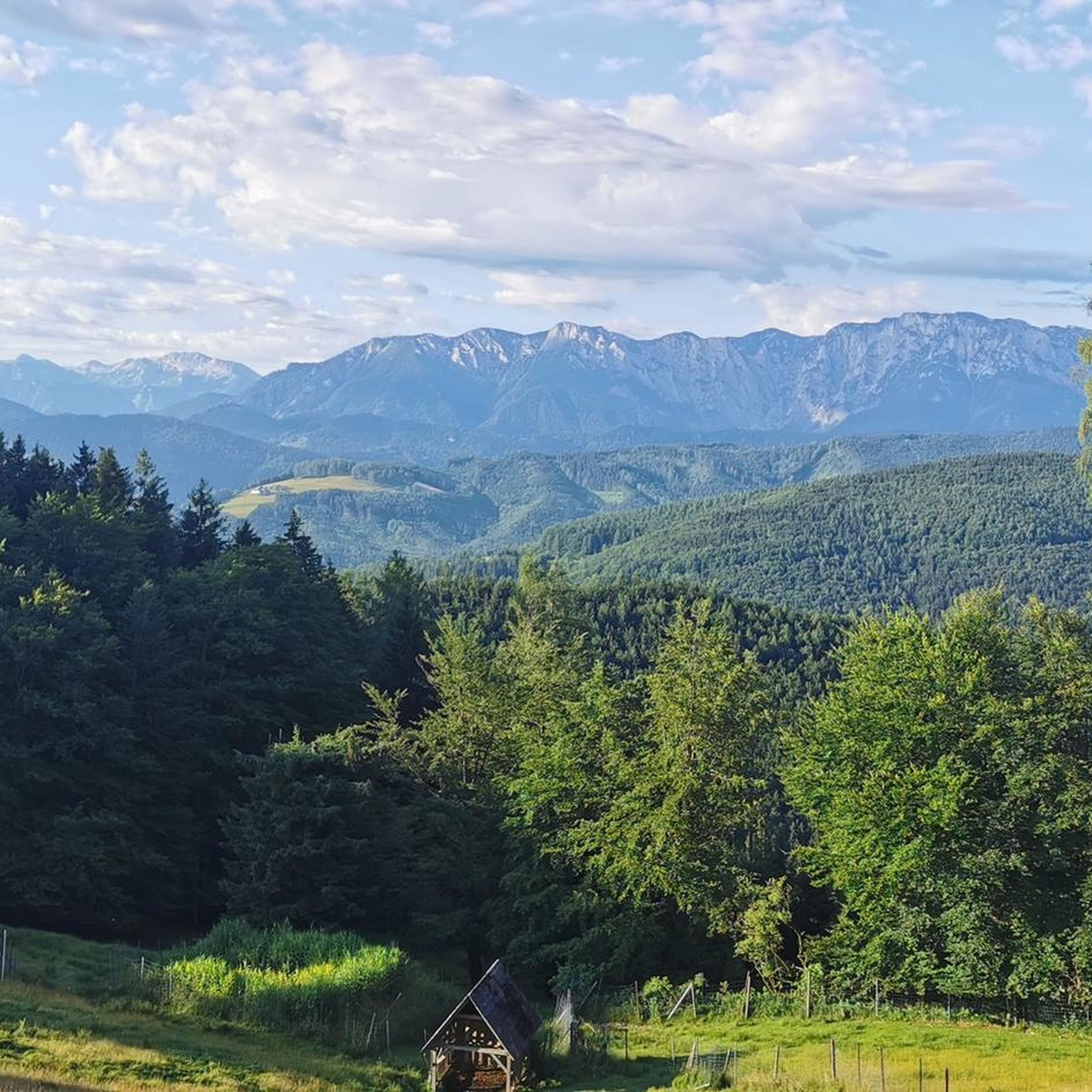
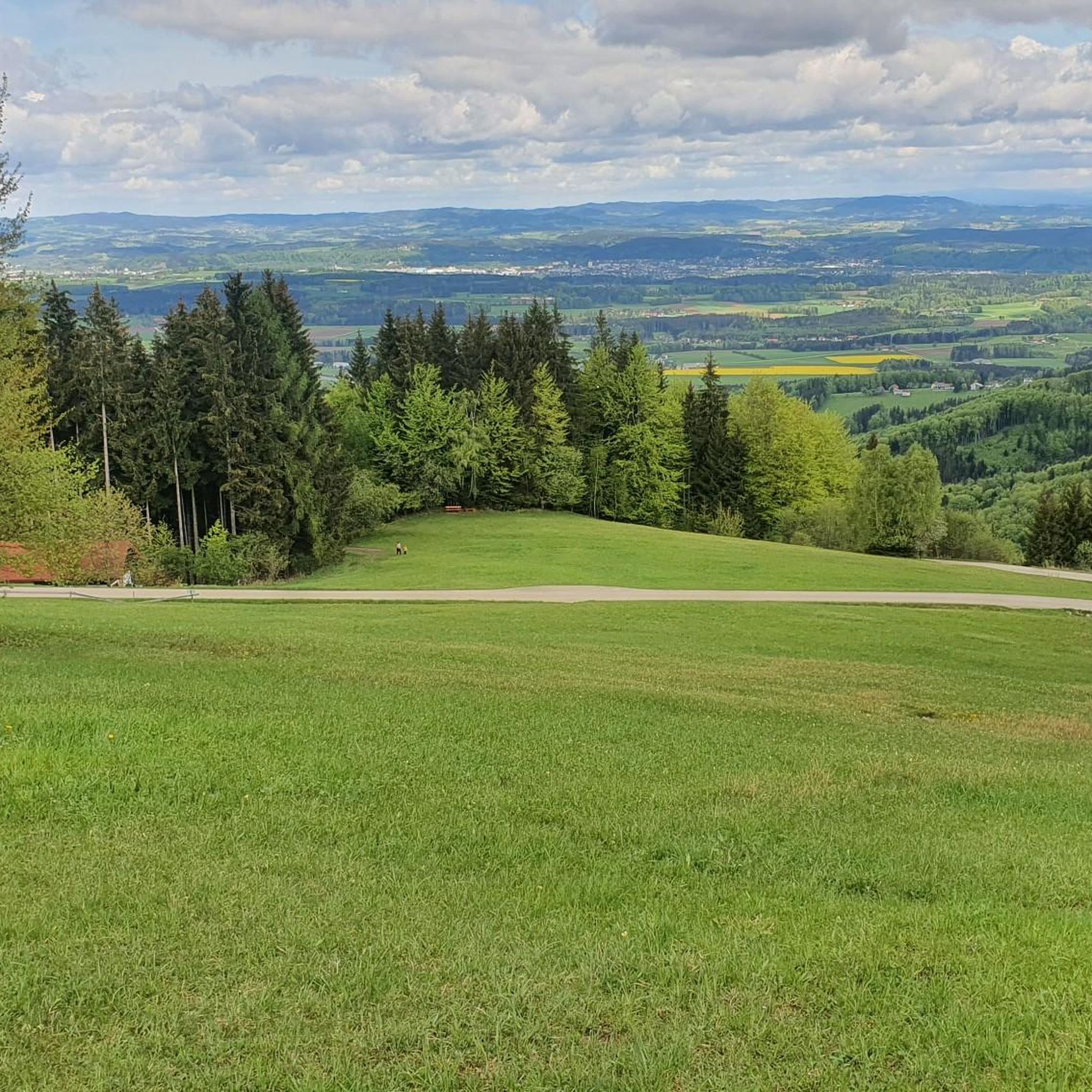
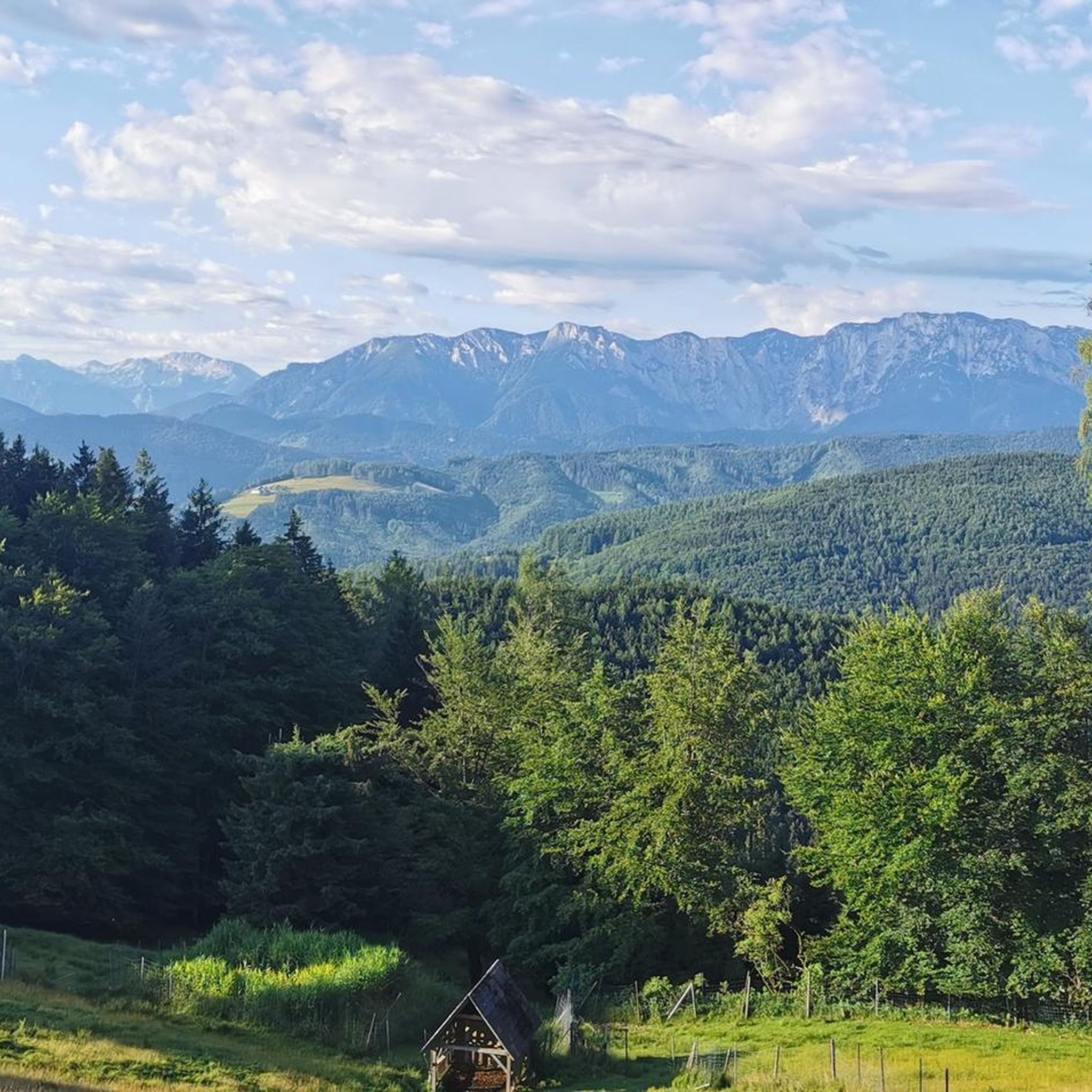
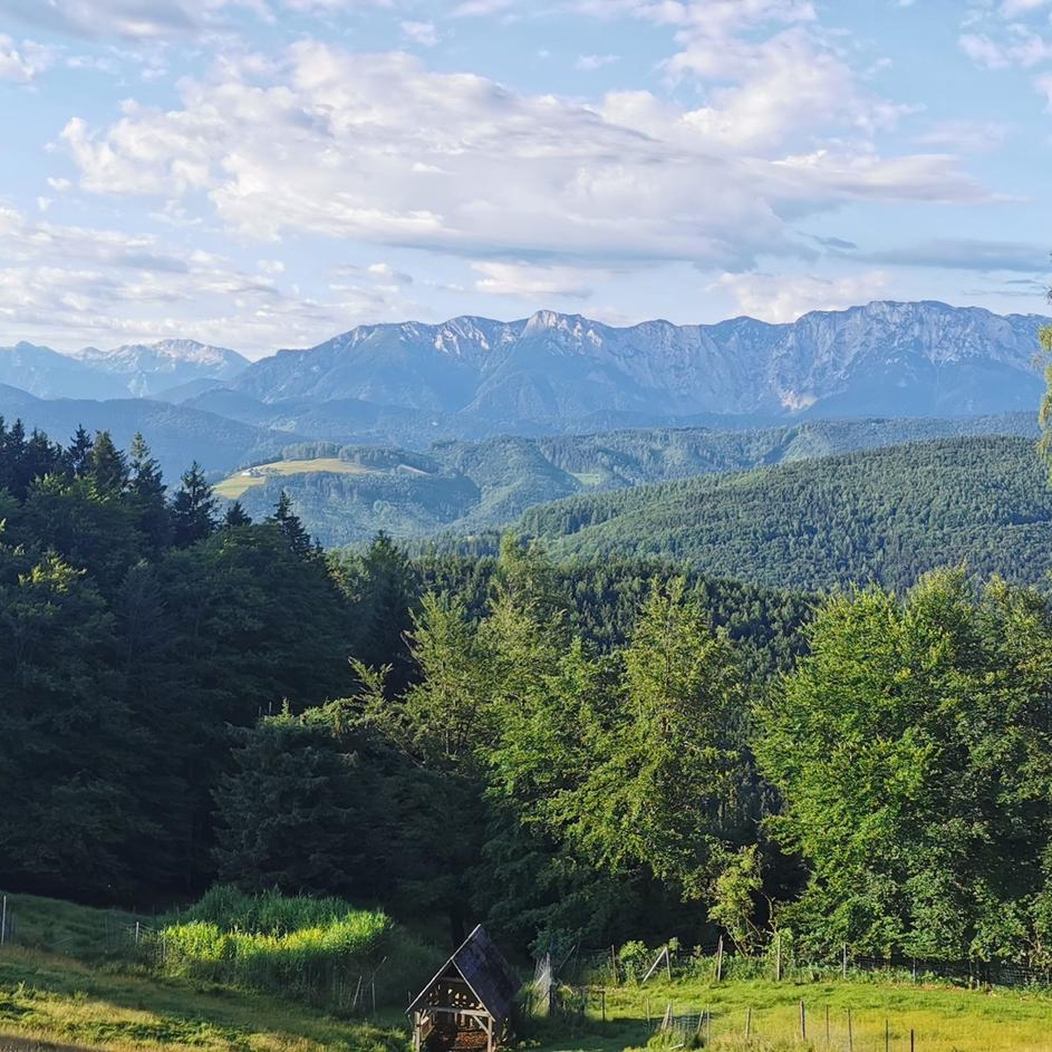
Jogging around Aurach am Hongar offers access to a diverse landscape of lush meadows, dense forests, and mountains. The region is situated at the foot of the Hongar mountain, providing a variety of running routes with different elevation profiles. Natural features like the Dürre Aurach river and nearby lakes such as Attersee, Traunsee, and the Langbathsee contribute to the scenic environment. The terrain includes forest paths, gravel trails, and partially paved surfaces, accommodating various running preferences and fitness levels.
Best…
Last updated: October 5, 2026
5.0
(1)
81
runners
5.76km
00:49
310m
310m
Hard run. Very good fitness required. Sure-footedness, sturdy shoes and alpine experience required.
36
runners
6.24km
01:03
360m
360m
Hard run. Very good fitness required. Sure-footedness, sturdy shoes and alpine experience required.

5.0
(1)
30
runners
15.5km
02:21
720m
720m
Hard run. Very good fitness required. Sure-footedness, sturdy shoes and alpine experience required.
5.0
(1)
23
runners
12.0km
01:36
410m
410m
Hard run. Very good fitness required. Mostly paved surfaces. Suitable for all skill levels.
24
runners
8.33km
00:52
50m
50m
Moderate run. Good fitness required. Mostly paved surfaces. Suitable for all skill levels.
Get access to more routes and recommendations from other explorers.
Already have an account?
Our route recommendations are based on thousands of hikes, rides, and runs completed by other people on komoot.
Start today with a free account
Your next adventure awaits.
Tips from the Community

The approximately 7 km long route is perfect for downhill riding, with only a steeper gradient and rougher gravel at the very top. After about 0.5 km, the terrain becomes increasingly easier and the path descends gently, allowing you to truly enjoy the fast descent 🤩 The uphill section can be a bit psychologically tough 🤔
0
0
Perfect liver dumpling soup and roast pork with Stöcklkraut 😋
0
0
The small summit cross on the side of the path is easily overlooked - it stands a little way from the striking viewpoint
0
0


Moderate incline. Also perfect for gravel bikes. Shaded. Nice route.
0
0

Schörfling, Seewalchen, Weyregg, and also Vöcklabruck are familiar towns and communities on Lake Attersee. I've been coming here regularly for decades. I'd love to do a circumnavigation of Lake Attersee on an e-bike, but unfortunately, I haven't gotten around to it yet. I think it's probably about 50 kilometers. Greetings from a German. 🙋😉👍👏
0
1

A small cross at a wonderful viewpoint!
1
0
Always a very nice place to rest. When the pub is closed, there is usually coffee in a thermos flask, cakes on plates and a self-service drinks machine in the next room. It's nice that this still works on a trust basis!
0
0
Frequently Asked Questions
How many running routes are available in Aurach am Hongar?
Aurach am Hongar offers a diverse network of nearly 30 dedicated running routes. These trails cater to various fitness levels, ranging from easy, mostly paved paths to more challenging mountain ascents.
What kind of terrain can I expect on the running trails in Aurach am Hongar?
The running trails around Aurach am Hongar feature a varied landscape, including forest paths, gravel trails, and partially paved surfaces. This mix provides different experiences for runners, from gentle inclines to more demanding ascents, often with stunning mountain views.
Are there any easy or beginner-friendly running routes in the area?
Yes, Aurach am Hongar has 2 easy running routes, perfect for beginners or those looking for a relaxed jog. These routes typically feature less elevation gain and are often on more forgiving surfaces, allowing for an enjoyable introduction to running in the region.
Can I find running routes with significant elevation gain for a more challenging workout?
Absolutely. For runners seeking a challenge, there are 15 difficult routes with significant elevation changes. For example, the View from the Hongar – Alpenblick Viewpoint loop from Lixlberg is a demanding 15.5 km (9.6 miles) route with over 700 meters of ascent, offering a strenuous workout and rewarding views.
What natural features or landmarks can I see while running in Aurach am Hongar?
Many running routes in Aurach am Hongar offer breathtaking views of the surrounding Alps, including the Höllengebirge and Traunstein. You can also encounter beautiful lakes like the Rear Langbathsee, known for its crystal-clear waters, or the Taferlklaus Lake. The region is also dotted with charming huts like Hochsteinalm, perfect for a post-run stop.
Are there any circular running routes available?
Yes, many of the running routes in Aurach am Hongar are circular, allowing you to start and finish at the same point. A popular moderate option is the Running loop from Aurach am Hongar, an 8.3 km (5.2 miles) trail that takes you through varied local terrain.
What do other runners say about the trails in Aurach am Hongar?
The running trails in Aurach am Hongar are highly rated by the komoot community, with an average score of 5.0 stars from over 5 reviews. Runners often praise the diverse terrain, the stunning mountain and lake views, and the well-maintained paths that make for an enjoyable experience.
When is the best time of year for jogging in Aurach am Hongar?
The best seasons for outdoor activities like jogging in Aurach am Hongar are typically spring and autumn. During these times, the landscapes are particularly vibrant with colorful flowers or golden foliage, and the temperatures are generally pleasant for running.
Are there any running routes that offer views from the Hongar summit?
Yes, several routes lead to or offer views from the Hongar summit. A notable difficult route is the View from the Hongar – Hongar Summit and Viewpoint loop from Lixlberg, a 5.6 km (3.5 miles) trail with significant elevation gain that rewards runners with expansive vistas.
Are there any places to eat or relax near the running trails?
Yes, after your run, you can find places to relax and refuel. The Gasthaus Schwarz, for instance, offers a sunny terrace where you can enjoy refreshments and take in the beautiful views of the surrounding mountains.
Are there any running routes suitable for families?
While specific 'family-friendly' designations aren't always explicit, the easy and moderate routes with less elevation gain, often on forest paths or partially paved surfaces, would be most suitable for families. These provide a gentler experience for all ages to enjoy the scenic surroundings.
Can I bring my dog on the running trails in Aurach am Hongar?
Many trails in natural areas like Aurach am Hongar are generally dog-friendly, but it's always advisable to keep your dog on a leash, especially in areas with wildlife or near livestock. Check local signage for any specific restrictions on individual routes or protected areas.
Most popular routes around Aurach am Hongar
Most popular attractions around Aurach am Hongar

Get inspired with the komoot mobile app


Explore more
Browse the best Running Trails & Routes in other regions.
