The best cycling routes around Aurach am Hongar
4.8
(37)
352
riders
20
rides
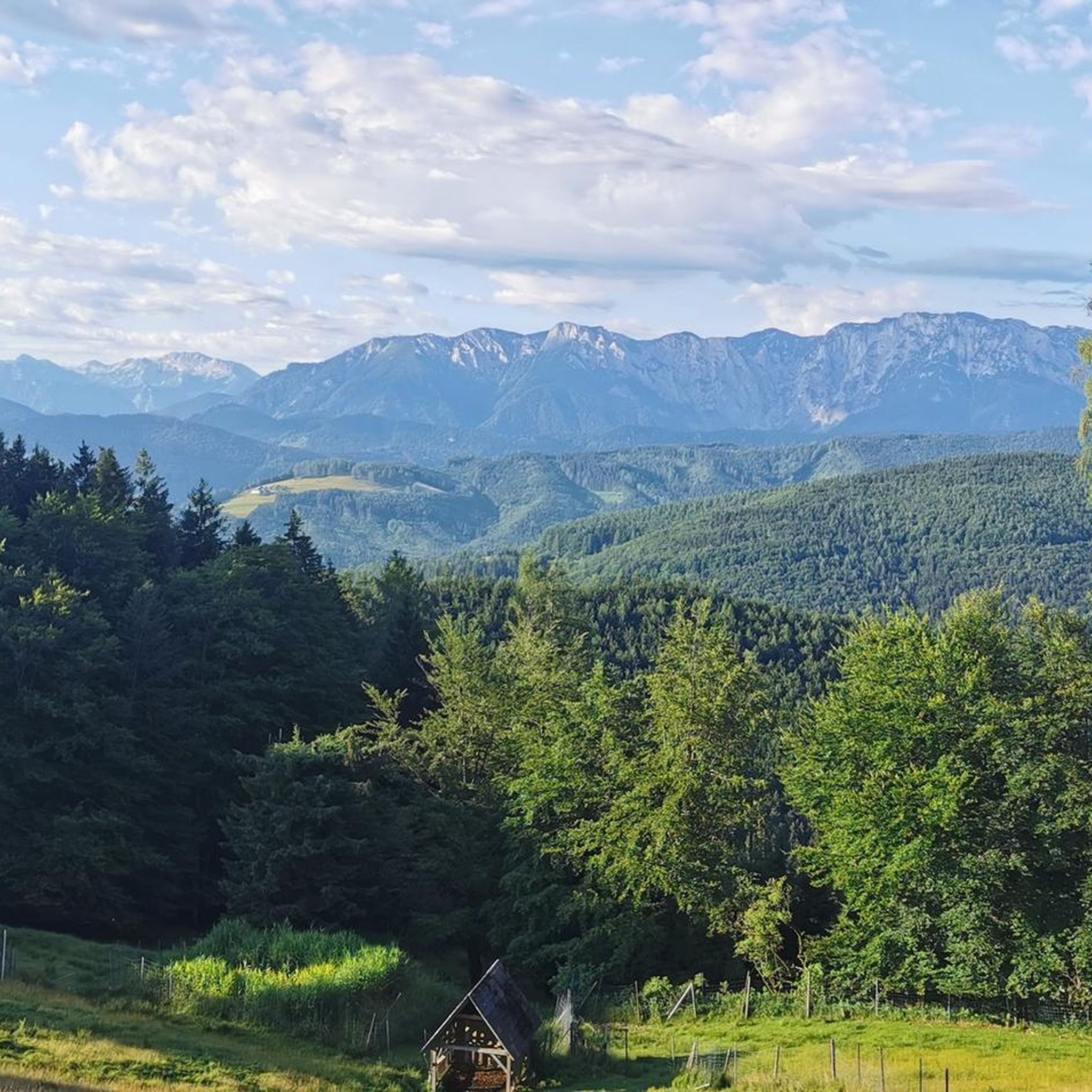
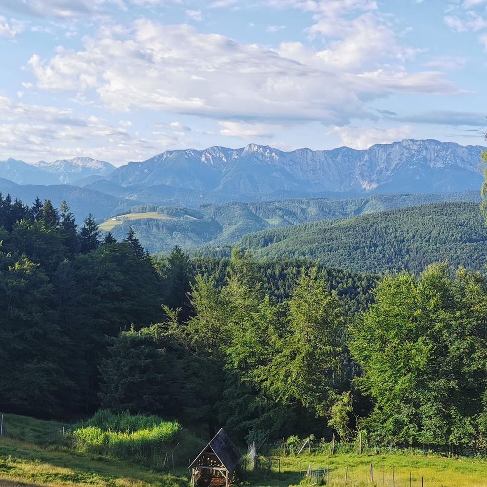
Touring cycling around Aurach am Hongar offers diverse landscapes in Upper Austria, situated between Lake Attersee and Lake Traunsee. The region features a mix of mountainous terrain, rolling hills, and valleys, with elevations reaching up to 943 m on the Hongar mountain. Cyclists can explore routes along the shores of Lake Attersee, through the Dürre Aurach river valley, and within extensive forest areas that cover over half of the municipality. This varied topography provides a range of routes for different…
Last updated: October 7, 2026
4.0
(6)
56
riders
16.9km
01:21
470m
470m
Hard bike ride. Very good fitness required. Mostly paved surfaces. Suitable for all skill levels.
4.4
(5)
35
riders
Moderate bike ride. Good fitness required. Mostly paved surfaces. Suitable for all skill levels.

4.6
(5)
45
riders
13.6km
00:53
100m
100m
Easy bike ride. Great for any fitness level. Mostly paved surfaces. Suitable for all skill levels.
5.0
(2)
29
riders
22.5km
01:25
220m
220m
Moderate bike ride. Good fitness required. Mostly paved surfaces. Suitable for all skill levels.
5.0
(2)
31
riders
20.7km
02:09
670m
670m
Hard bike ride. Very good fitness required. Mostly paved surfaces. Suitable for all skill levels.
Get access to more routes and recommendations from other explorers.
Already have an account?
Our route recommendations are based on thousands of hikes, rides, and runs completed by other people on komoot.
Start today with a free account
Your next adventure awaits.
Tips from the Community

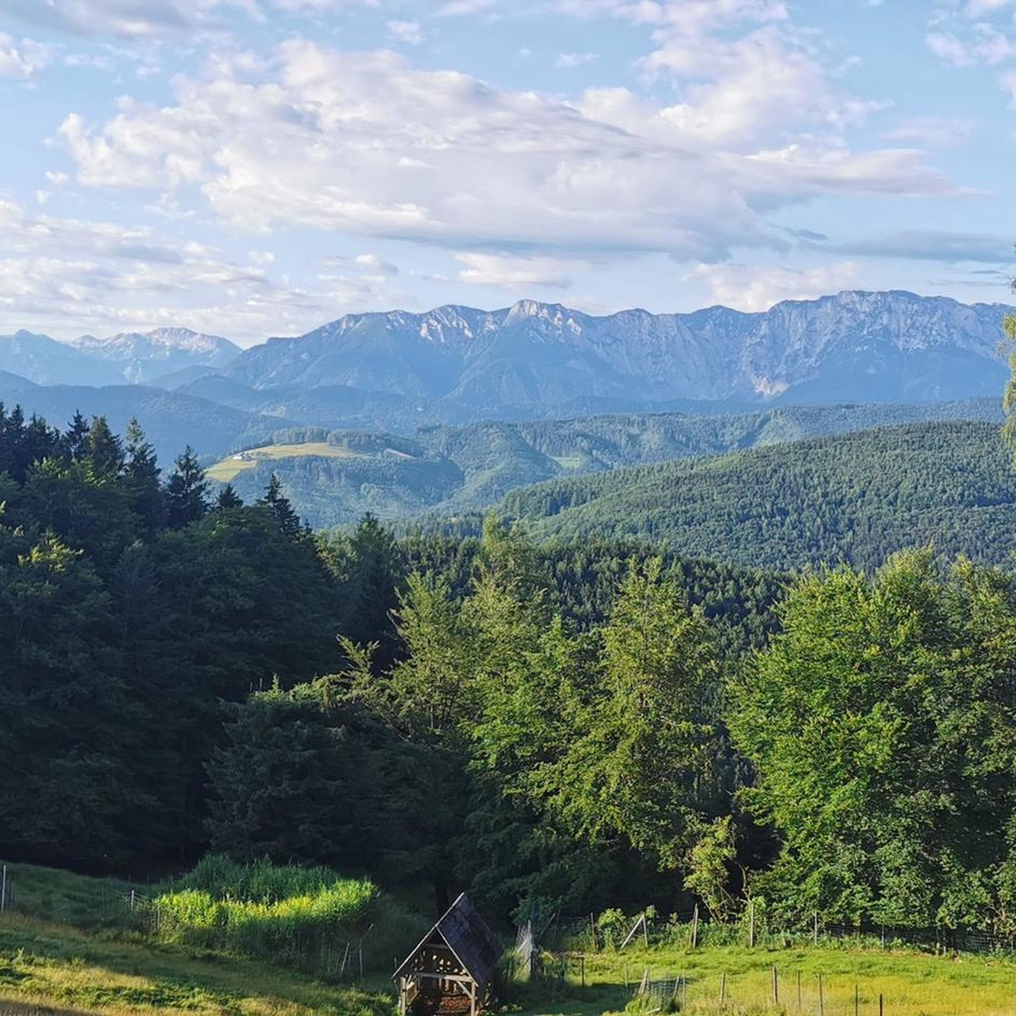
Very nice spot at an MTB trail junction with a rest area and information boards. Unfortunately, the MTB route from Aurach via Gstötten & Halbmoos up here is not marked on Komoot 🧐 - it is then visible on the map up here (green dots)
0
0

We really liked Lake Attersee, and the water was as clear as in the Caribbean.
0
0
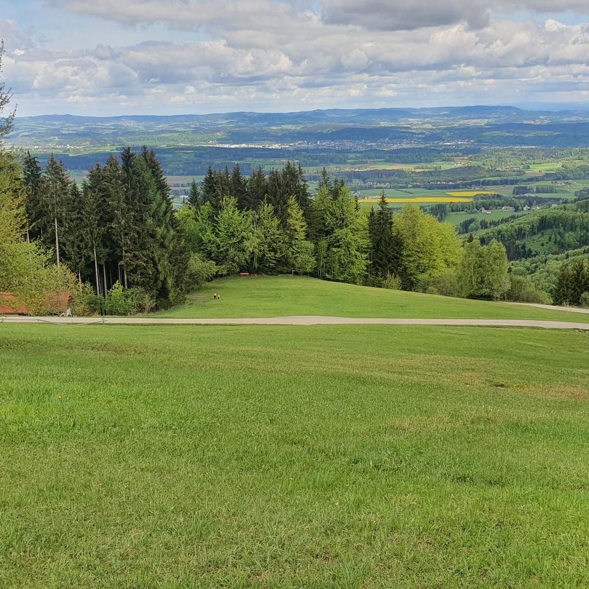
From there you have a beautiful first view of the Attersee
0
0
As a starting point for cycling tours, the Flößersteig car park behind the municipal office is well suited (quiet side roads). However, entering the town centre by car via Gmundnerstraße is very narrow - possibly try the car park after the cemetery as an alternative.
0
0
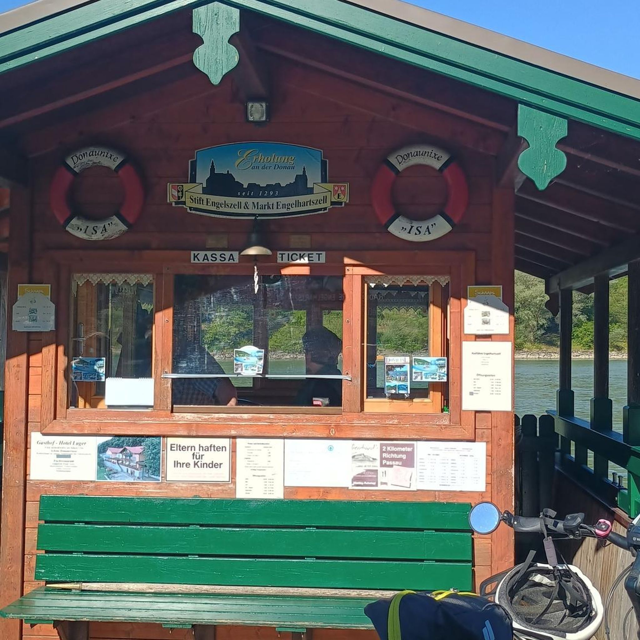
Through the division of the Ager and small weirs, islands have formed here, which create a very idyllic bathing area that is not as overcrowded as the bathing spots on the lake. You don't mind pushing the bikes through the area there 🥰
0
0

The Raftsmen Monument in Schörfling am Attersee (Hauptstraße, near the Ager bridge) commemorates the historically significant timber rafting and shipping of the region. It was erected on May 27, 1984, by the Verschönerungsverein and is based on designs by Hannes Haslecker (1967) and Prof. Max Stockenhuber (1981).
0
0
In addition to the pile-dwelling pavilions near the Ager bridge in Seewalchen, in Attersee and in Mondsee, the timeline trail on the Seewalchner Schulweg also deals with the long history in the Salzkammergut. https://www.pfahlbau.at/
0
0

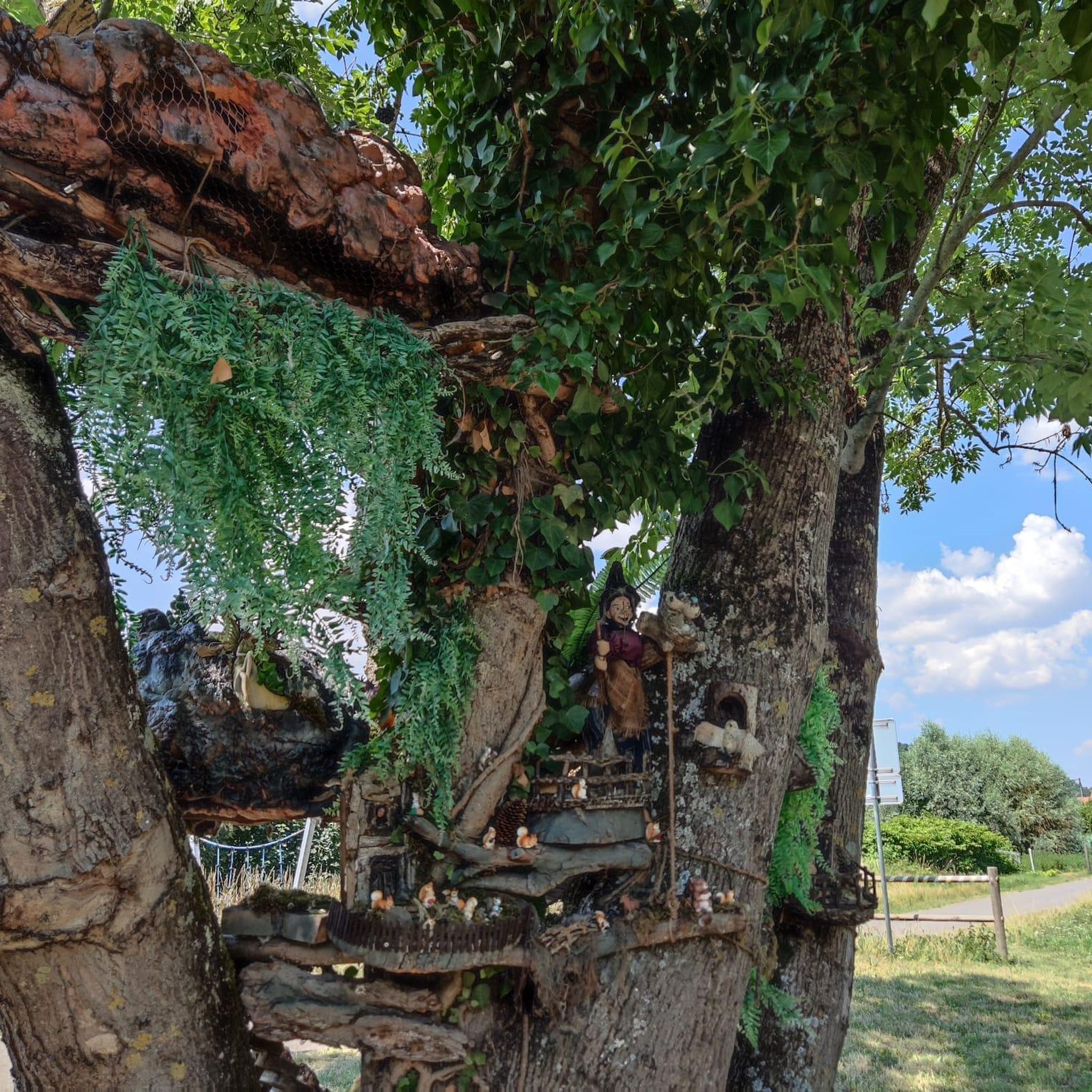
There are numerous seating options here.
0
0
Frequently Asked Questions
How many touring cycling routes are available around Aurach am Hongar?
There are over 20 touring cycling routes around Aurach am Hongar, catering to various skill levels. This includes 5 easy routes, 8 moderate routes, and 8 difficult routes.
What kind of terrain can I expect on touring cycling routes in Aurach am Hongar?
The region offers a diverse mix of terrain. You'll find routes along the shores of Lake Attersee, through the Dürre Aurach river valley, and within extensive forest areas. Expect mountainous sections, rolling hills, and valleys, with elevations reaching up to 943 meters on the Hongar mountain.
Are there any easy touring cycling routes suitable for beginners or families?
Yes, there are several easy routes. For a scenic and mostly paved option, consider the Rafting monument – View of Lake Attersee loop from Aurach am Hongar, which is 13.4 km long and offers beautiful views of Lake Attersee.
Where can I find challenging touring cycling routes in the area?
For a more challenging ride with significant elevation gain, try the Hongar Summit Cross – Hongar Summit and Viewpoint loop from Illingbuch. This difficult route covers 17.0 km and leads towards the Hongar summit. Another demanding option is the Hongar Summit Cross – Loitzenwies Pond loop from Lixlberg, which features over 600 meters of elevation gain over 20.7 km.
What natural features and viewpoints can I see along the cycling routes?
Many routes offer panoramic views of the Salzkammergut lakes and mountains. Notable viewpoints include the View of Lake Attersee and the Höllengebirge from Gahberg. You can also visit the Grünberg Summit and Treetop Walk for unique perspectives, or pass by the serene Rear Langbathsee, an absolute nature reserve.
Are there any circular touring cycling routes in Aurach am Hongar?
Yes, many routes are designed as loops. For example, the View of Seewalchen Church – View of Lake Attersee loop from Aurach am Hongar is a moderate 34.5 km circular route. Another option is the Schimpl Chapel loop from Lixlberg, a 22.7 km moderate tour through varied local landscapes.
What do other touring cyclists say about the routes in Aurach am Hongar?
The touring cycling routes in Aurach am Hongar are highly rated by the komoot community, with an average score of 4.8 stars from over 30 reviews. Cyclists often praise the stunning lake and mountain views, the diverse terrain, and the well-maintained paths that often utilize low-traffic roads.
Is Aurach am Hongar suitable for long-distance touring cycling?
Aurach am Hongar is integrated into the wider Salzkammergut region, which is known for its extensive cycling network, including parts of the Salzkammergut Cycle Path R2. This allows for longer tours that can encompass multiple lakes and connect to broader exploration opportunities within Upper Austria.
What is the best time of year to go touring cycling in Aurach am Hongar?
The region is best enjoyed from spring through autumn. During these seasons, the weather is generally favorable for cycling, and the natural landscapes, including the lakes and forests, are at their most vibrant. Summer offers warmer temperatures, while spring and autumn provide cooler rides and beautiful foliage.
Are there any facilities like cafes or accommodation for cyclists in Aurach am Hongar?
Yes, the area caters to outdoor enthusiasts. You can find places like Gasthof Schwarz am Hongar, which offers refreshments and sunny terraces with views of the Höllengebirge. The surrounding villages and towns also provide various accommodation options and cafes suitable for cyclists.
Most popular routes around Aurach am Hongar
Most popular attractions around Aurach am Hongar

Get inspired with the komoot mobile app


Explore more
Browse the best Cycling routes in other regions.
