The best running trails around Gramastetten
4.8
(10)
117
runners
16
runs
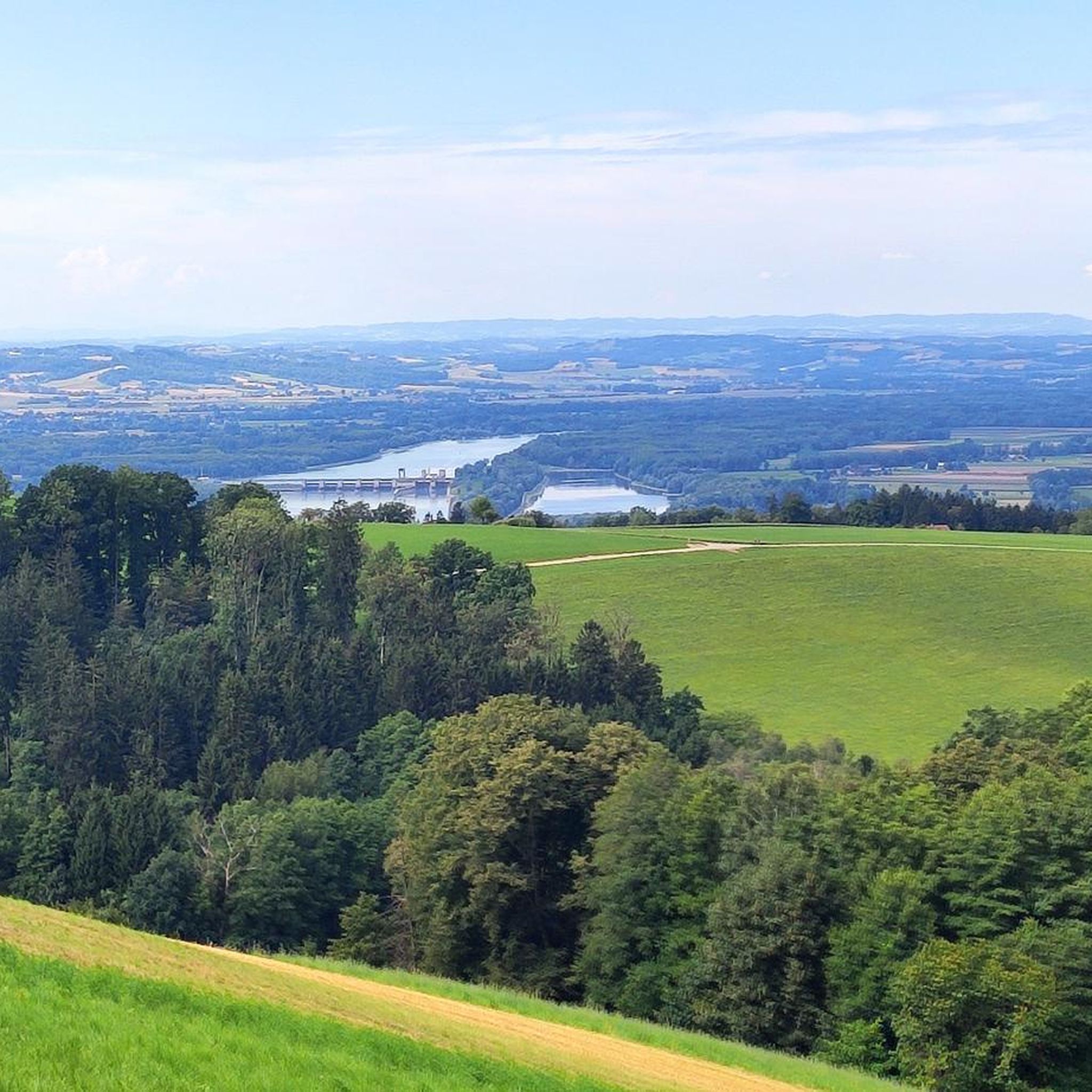
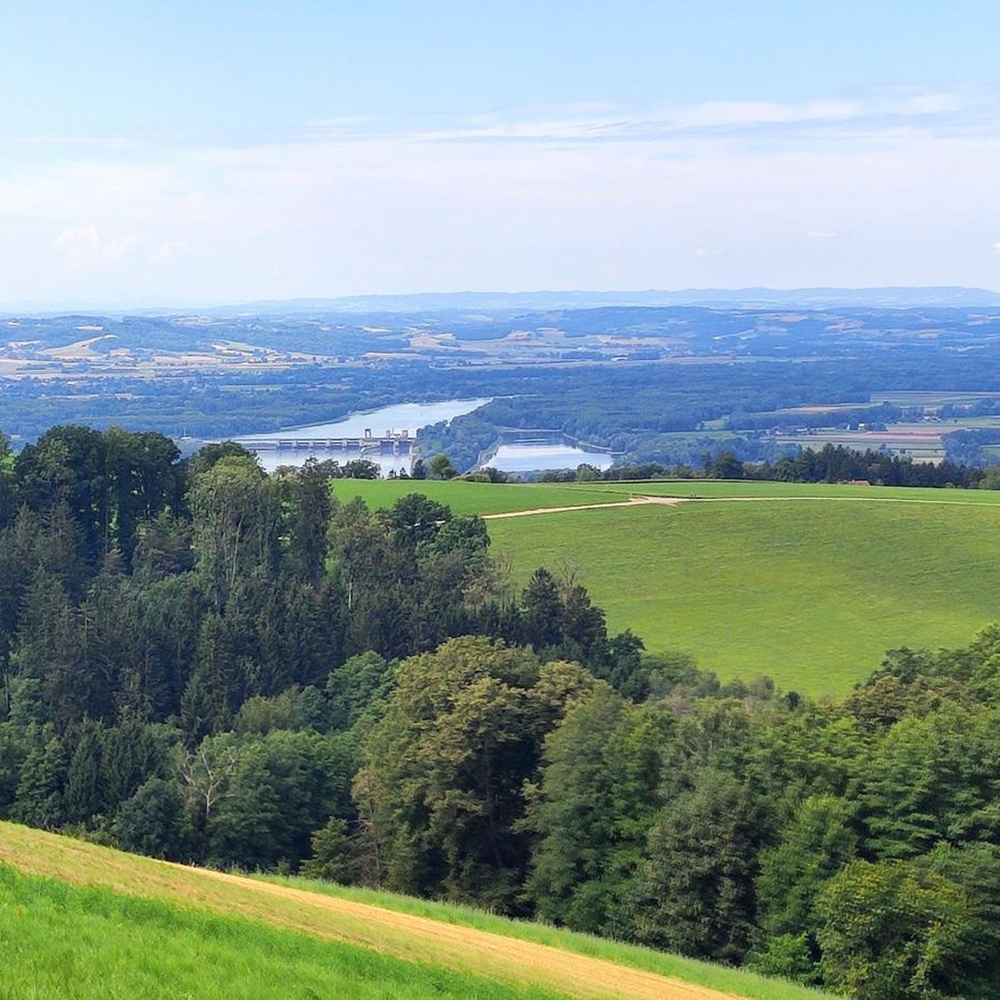
Jogging routes around Gramastetten are set within the picturesque forest and hill landscape of the Mühlviertel region. The area is characterized by varied terrain, including tranquil valleys like the Rodl Valley, scenic fields, and dense woodlands. These natural features provide a refreshing environment for outdoor activities. The landscape offers a mix of gentle paths along rivers and more challenging ascents through the rolling hills.
Best jogging routes around Gramastetten
- The most popular jogging route is Scheren's Organic Specialties loop from…
Last updated: July 5, 2026
4.6
(5)
28
runners
7.88km
00:51
140m
140m
Moderate run. Good fitness required. Mostly paved surfaces. Suitable for all skill levels.
5.0
(1)
8
runners
11.8km
01:22
290m
290m
Moderate run. Good fitness required. Mostly paved surfaces. Suitable for all skill levels.

Sign up for free
5.0
(2)
9
runners
12.4km
01:31
370m
370m
Hard run. Very good fitness required. Mostly paved surfaces. Suitable for all skill levels.
8
runners
15.4km
01:39
240m
240m
Hard run. Very good fitness required. Mostly paved surfaces. Suitable for all skill levels.
7
runners
7.08km
00:46
140m
140m
Moderate run. Good fitness required. Mostly paved surfaces. Suitable for all skill levels.
Get access to more routes and recommendations from other explorers.
Sign up for free
Already have an account?
Our route recommendations are based on thousands of hikes, rides, and runs completed by other people on komoot.
Start today with a free account
Your next adventure awaits.
Login or Signup
Tips from the Community

The Rodl Valley from Rottenegg is a scenic highlight in every season. It's pristine and beautifully preserved, with hardly any traffic. At the Mayrleiten-Wieshofstraße junction, you can take the paved road to Neußerling. For adventurers with mountain biking experience, turn right and immediately left along the Rodl. The route then climbs moderately on bumpy granite slabs. It's not really suitable for gravel bikers, but those who enjoy rough terrain will be rewarded by the unique natural surroundings, a feeling of happiness guaranteed.
1
0

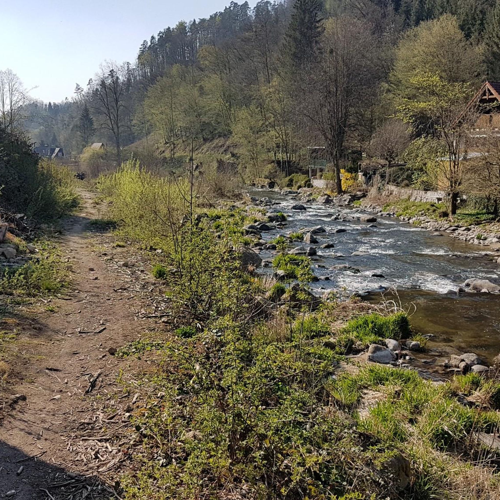
Beautiful hiking trail along the Große Rodl with wild river banks and beautiful views of the river below the Lichtenhaag castle ruins.
1
0

The beautiful stream is the Ranitz, which flows further down into the Große Rodl after a steeper section
0
0

The right side on the Rodl (upstream) in Rottenegg offers very idyllic views of a residential area directly on the river. At the end, a hiking trail (narrow and rocky) leads along the Rodl to the next settlement and continues through a heavily overgrown hiking section to the (as usual) forbidden forest road. The alternative is a relatively steep but still easy-to-drive path up the slope (Hamberg), which flows back into the official MTB path Granitland Süd/Rodltal.
0
0

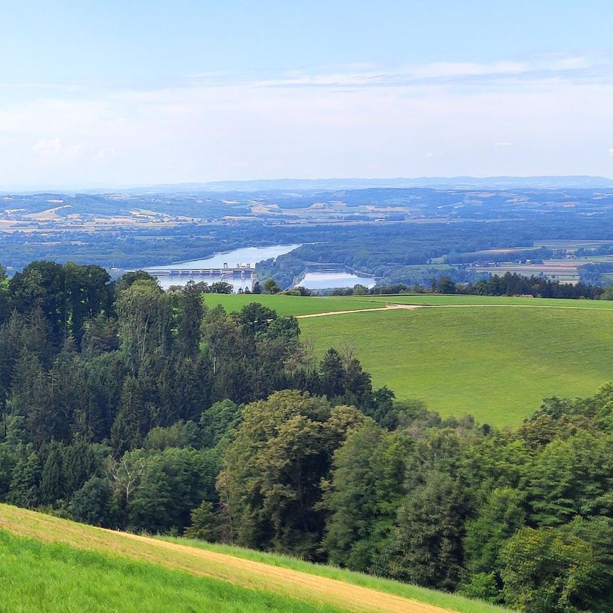
The most beautiful and easiest ascent from the Danube valley to the Mühlviertel
1
0

Frequently Asked Questions
How many running routes are available in Gramastetten?
Gramastetten offers a diverse network of over 15 running routes, catering to various fitness levels. These trails wind through the picturesque forest and hill landscape of the Mühlviertel region, providing ample opportunities for outdoor activity.
What kind of terrain can I expect on the jogging trails around Gramastetten?
The jogging trails in Gramastetten feature varied terrain, from gentle paths along the Große Rodl river in the tranquil Rodl Valley to more challenging ascents through the rolling Mühlviertel hill country. You'll encounter a mix of forest paths, open fields, and some paved sections, offering a dynamic running experience.
Are there any challenging running routes for experienced runners?
Yes, Gramastetten offers several routes for more experienced runners. For instance, the Running loop from Pfarrkirche Gramastetten is a difficult 7.4-mile (11.9 km) trail with significant elevation gain. Another demanding option is the View of the Alps loop from Feldsdorf, which spans 9.5 miles (15.3 km) and offers rewarding views.
What are some scenic highlights or landmarks I can see while running in Gramastetten?
The region is rich in natural beauty and historical sites. You can run through the romantic Rodl Valley, explore the scenic Mühlviertel hill country, or discover the historic Rodl Natural Swimming Pool. While not directly on a running route, the impressive Linz Castle is also nearby, offering a glimpse into the region's past.
Are there any circular running routes in Gramastetten?
Many of Gramastetten's running routes are designed as loops, allowing you to start and finish at the same point. A popular example is the Reisinger-Teich loop from Gramastetten, a 7.3-mile (11.8 km) trail through the Mühlviertel hill country, perfect for a comprehensive run.
What do other runners enjoy most about jogging in Gramastetten?
The running routes in Gramastetten are highly rated by the komoot community, with an average score of 4.6 stars. Reviewers often praise the tranquil environment, the varied landscape of forests and fields, and the refreshing escape from urban areas. The well-maintained trails and scenic views are frequently highlighted as key attractions.
Are there family-friendly running paths suitable for all ages?
While many routes offer moderate challenges, trails along the Rodl river are generally suitable for less experienced runners and families. These paths provide a gentler experience through beautiful natural surroundings, allowing everyone to enjoy the outdoors.
Can I find running routes with parking facilities in Gramastetten?
Yes, many running routes in Gramastetten are accessible with convenient parking options. Routes often start near villages or designated parking areas, making it easy to begin your run. For specific routes, checking the komoot tour details will provide information on starting points and potential parking.
What is the best time of year to go running in Gramastetten?
Gramastetten offers excellent running conditions throughout much of the year. Spring and autumn provide pleasant temperatures and vibrant scenery. Summer is also popular, especially with the option to cool off at the Rodl Natural Swimming Pool. Even in winter, some trails can be enjoyed, though conditions may vary.
Are there any running routes that pass by water features or lakes?
Yes, the region features several water bodies that can be incorporated into or seen from running routes. The Rodl Valley itself is carved by the Große Rodl river, offering picturesque riverside paths. Additionally, the Rodl Natural Swimming Pool is a beautiful spot, and the Pleschinger Lake is also within the broader area, providing scenic views.
Are there any running trails suitable for trail running or with significant elevation?
Absolutely. The Mühlviertel hill country surrounding Gramastetten provides excellent opportunities for trail running with significant elevation changes. Routes like the Running loop from Pfarrkirche Gramastetten and the View of the Alps loop from Feldsdorf are classified as difficult due to their challenging ascents and varied terrain, perfect for those seeking a more intense trail running experience.
Most popular routes around Gramastetten
Most popular attractions around Gramastetten

Get inspired with the komoot mobile app


Explore more
Browse the best Running Trails & Routes in other regions.
