The best walks and hikes around Gramastetten
4.5
(4355)
36,242
hikers
62
hikes
Hiking around Gramastetten offers a diverse landscape within the Mühlviertel region of Upper Austria. The area is characterized by gently rolling hills, extensive forests, and the tranquil Rodltal valley, carved by the Große Rodl river. Trails often lead to scenic heights, providing panoramic views of the surrounding Mühlviertel. The Bleicherbach Valley also contributes to the varied terrain, offering additional exploration opportunities.
Best hiking trails around Gramastetten
- The most popular hiking route is Rodl River – 365-step Staircase loop from Gramastetten, an 8.1 miles (13.0 km) trail that takes 3 hours 40 minutes to complete. This route features the historic Jahresstiege steps and follows the Rodltal valley.
- Another top favourite among local hikers is Koglerauer Spitz Summit Cross – Koglerauer Spitz loop from Pöstlingberg, an easy 3.3 miles (5.2 km) path. This trail leads to the Koglerauer Spitz summit cross, offering panoramic views of the region.
- Local hikers also love the Resting Bench with Cairns – Koglerauer Spitz loop from Gramastetten, a 10.0 miles (16.1 km) trail leading through the forested hills towards Koglerauer Spitz, often completed in about 4 hours 46 minutes.
- Hiking around Gramastetten is defined by rolling hills, extensive forests, and the scenic Rodltal valley. The network offers options for various ability levels, from easy walks to more challenging routes.
- The routes in Gramastetten are highly rated by the komoot community with an average score of 4.6 stars from over 100 reviews. More than 900 hikers have used komoot to explore Gramastetten's varied terrain.
Last updated: July 5, 2026
4.7
(35)
155
hikers
13.0km
03:41
280m
280m
Moderate hike. Good fitness required. Easily-accessible paths. Suitable for all skill levels.
4.8
(6)
35
hikers
5.29km
01:37
190m
190m
Easy hike. Great for any fitness level. Easily-accessible paths. Suitable for all skill levels.

Sign up for free
4.3
(13)
64
hikers
3.97km
01:15
160m
160m
Easy hike. Great for any fitness level. Easily-accessible paths. Suitable for all skill levels.
3.7
(6)
65
hikers
16.1km
04:46
450m
450m
Moderate hike. Good fitness required. Easily-accessible paths. Suitable for all skill levels.
4.7
(11)
55
hikers
Moderate hike. Good fitness required. Easily-accessible paths. Suitable for all skill levels.
Get access to more routes and recommendations from other explorers.
Sign up for free
Already have an account?
Our route recommendations are based on thousands of hikes, rides, and runs completed by other people on komoot.
Start today with a free account
Your next adventure awaits.
Login or Signup
Tips from the Community


The Rodl Valley from Rottenegg is a scenic highlight in every season. It's pristine and beautifully preserved, with hardly any traffic. At the Mayrleiten-Wieshofstraße junction, you can take the paved road to Neußerling. For adventurers with mountain biking experience, turn right and immediately left along the Rodl. The route then climbs moderately on bumpy granite slabs. It's not really suitable for gravel bikers, but those who enjoy rough terrain will be rewarded by the unique natural surroundings, a feeling of happiness guaranteed.
1
0


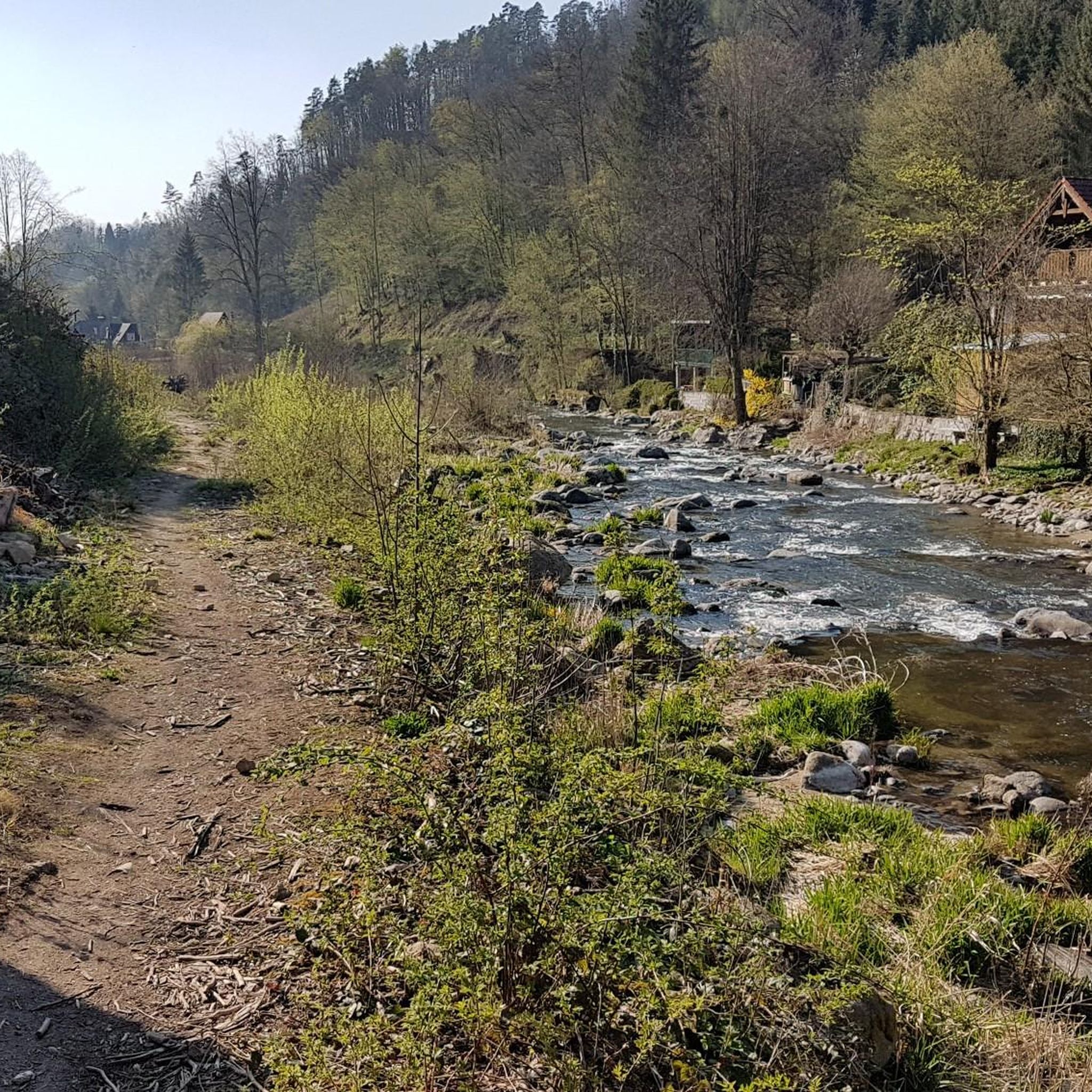
Beautiful hiking trail along the Große Rodl with wild river banks and beautiful views of the river below the Lichtenhaag castle ruins.
1
0

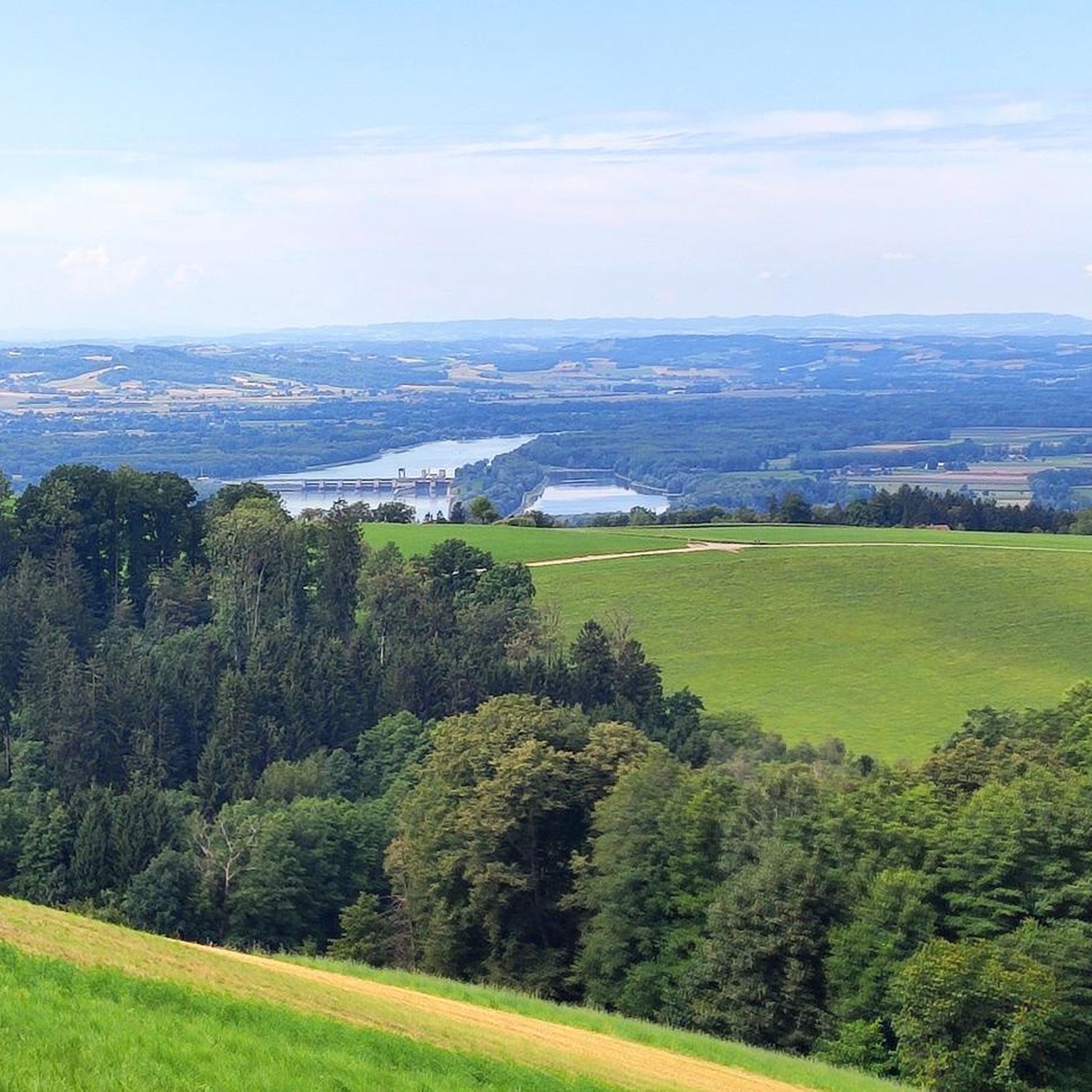
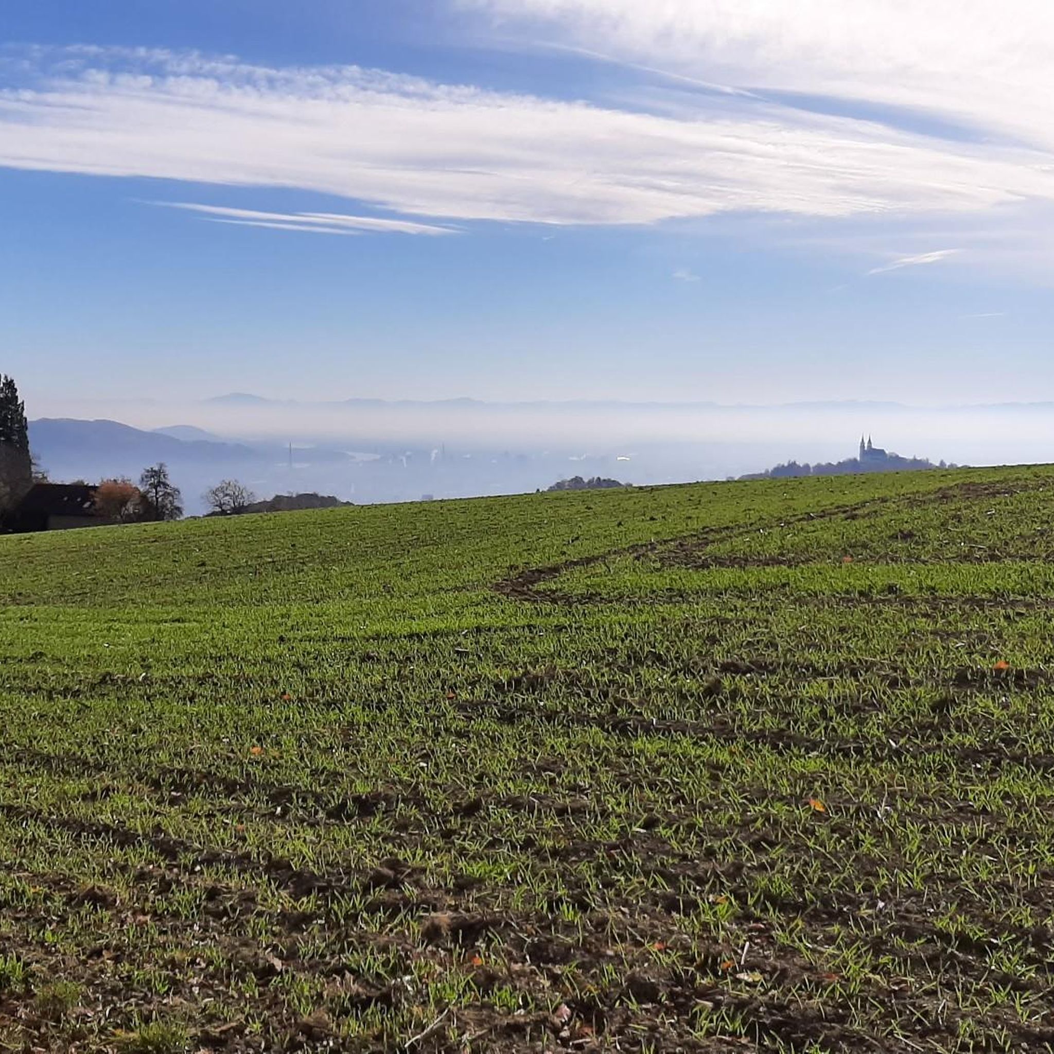
When the weather is good you can see incredibly far.
0
0
You can also add a male yourself.
0
0

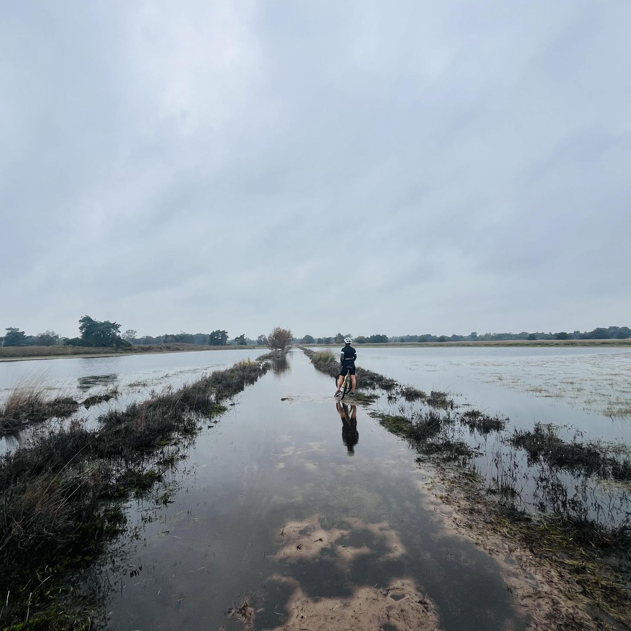
You absolutely have to cycle through the Rodltal, it is such a pleasure
0
0

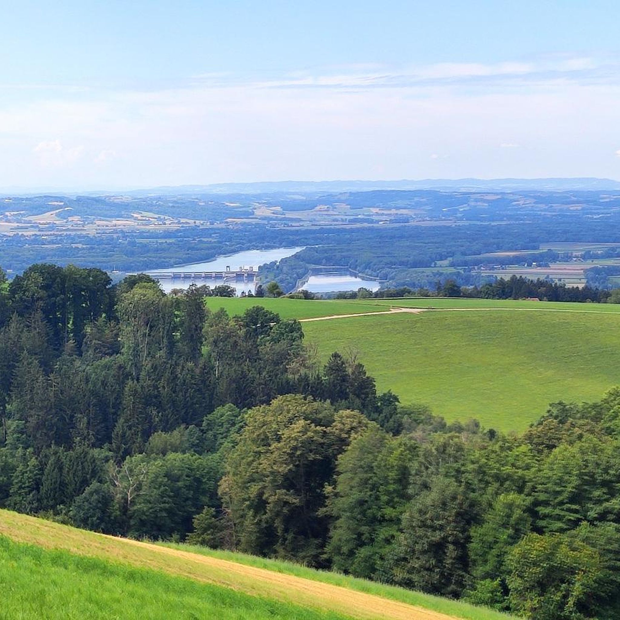
The rest bench offers a really great view of the valley and the Alps.
5
0
Frequently Asked Questions
How many hiking trails are available around Gramastetten?
Gramastetten offers a comprehensive network of over 60 marked hiking trails. These include a wide range of options, with more than 30 easy routes perfect for leisurely strolls, nearly 30 moderate trails for those seeking a bit more challenge, and a few difficult routes for experienced hikers.
Are there family-friendly hiking options in Gramastetten?
Yes, Gramastetten is well-suited for family hikes. The tranquil Rodltal valley, carved by the Große Rodl river, offers particularly gentle experiences. Many of the over 30 easy routes available are suitable for families, providing pleasant walks through the scenic Mühlviertel landscape.
Can I bring my dog on the hiking trails in Gramastetten?
Generally, dogs are welcome on the hiking trails in Gramastetten. It's always recommended to keep your dog on a leash, especially in forested areas or near wildlife, and to carry water for them. The diverse terrain, from rolling hills to forest paths, provides plenty of enjoyable options for you and your canine companion.
What kind of terrain can I expect on hikes around Gramastetten?
Hiking around Gramastetten is characterized by gently rolling hills, extensive forests, and picturesque valleys like the Rodltal and Bleicherbach Valley. You'll encounter a mix of forest paths, open fields, and some ascents leading to scenic viewpoints, offering a varied and engaging experience.
Are there any circular hiking routes in Gramastetten?
Yes, many of the trails in Gramastetten are designed as circular routes, allowing you to start and end at the same point. An example is the Demonstration Beehive – Panoramic View of Mühlviertel loop from Pfarrkirche Gramastetten, which offers stunning vistas.
What are some notable natural features or landmarks to see while hiking?
Gramastetten's hikes feature several unique natural and cultural landmarks. The impressive Jahresstiege, a 19th-century staircase with approximately 365 granite steps, is a highlight. You can explore it on the Rodl River – 365-step Staircase loop from Gramastetten. The Augenbründl mountain spring is another historical feature, and many trails lead to scenic heights like the Koglerauer Spitz, offering panoramic views of the Mühlviertel region.
Are there any viewpoints with panoramic scenery?
Absolutely. Many trails in Gramastetten lead to elevated points offering breathtaking panoramic views of the Mühlviertel region. The Koglerauer Spitz Summit Cross – Koglerauer Spitz loop from Pöstlingberg is a popular choice for its rewarding vistas. You can also find excellent views from the Euphemia Viewing Platform (Pöstlingberg), which offers a view of Linz.
What do other hikers enjoy most about hiking in Gramastetten?
The komoot community highly rates the hiking experience in Gramastetten, with an average score of 4.6 stars from over 100 reviews. Hikers often praise the diverse landscape, the well-maintained trails, and the combination of tranquil forest paths with rewarding panoramic views, especially from spots like the Koglerauer Spitz.
Are there any places to cool off or relax after a hike?
Yes, after a hike, you can find refreshment at the idyllic Rodl-Waldbad (Natural Forest Pool). Located amidst the Rodltal valley in a forest clearing, it provides a refreshing spot to relax and cool off, complete with amenities.
What is the best time of year to go hiking in Gramastetten?
Gramastetten offers enjoyable hiking experiences throughout much of the year. Spring and autumn are particularly pleasant, with mild temperatures and vibrant natural colors. Summer provides lush green landscapes, and the Rodl-Waldbad offers a refreshing break. Even in winter, some trails can be explored, though conditions may vary.
Are there any challenging routes for experienced hikers?
While Gramastetten offers many easy and moderate trails, there are also options for more experienced hikers. The region's network includes routes with significant elevation changes, such as the '3 Streams - 4 Mountains Route' mentioned in regional research, providing a more strenuous challenge. The Resting Bench with Cairns – Koglerauer Spitz loop from Gramastetten, for instance, covers 10 miles with considerable ascent.
Can I reach the hiking trails using public transport?
The region around Gramastetten is generally accessible, and while specific public transport connections to every trailhead might vary, Gramastetten itself is connected. It's advisable to check local bus schedules to plan your journey to the starting points of your chosen hikes.
Are there any historical sites or ruins along the trails?
Yes, beyond the natural beauty, you can encounter historical elements. The Jahresstiege is a significant historical landmark. Additionally, some routes, like the Rodl River Trail – Ruins View Observation Deck loop from Gramastetten, offer views towards ruins or other historical points of interest in the wider Mühlviertel region, such as distant sights like the Lichtenhag castle ruins.
Most popular routes around Gramastetten
Most popular attractions around Gramastetten

Get inspired with the komoot mobile app


Explore more
Browse the best Hikes in other regions.
