The best walks and hikes around St Veit an der Glan
4.6
(2403)
15,924
hikers
76
hikes
Hiking trails around St Veit an der Glan are situated in the Glan River valley, within the Gurktal Alps of Carinthia. The region features varied terrain, including mountainous areas with hills like Ulrichsberg and Magdalensberg, alongside river valleys and plains. Extensive forested areas, such as the Wolschartwald, and natural lakes like Längsee and Hörzendorfer See, contribute to the diverse landscape. The area is also characterized by numerous historic castles and pilgrim paths.
Best hiking trails around St Veit an der…
Last updated: September 30, 2026
4.6
(155)
764
hikers
4.88km
01:57
380m
380m
Moderate hike. Good fitness required. Easily-accessible paths. Suitable for all skill levels.
4.6
(14)
101
hikers
7.95km
02:51
480m
480m
Moderate hike. Good fitness required. Easily-accessible paths. Suitable for all skill levels.

4.7
(6)
30
hikers
Moderate hike. Good fitness required. Easily-accessible paths. Suitable for all skill levels.
4.4
(7)
25
hikers
7.96km
02:44
430m
430m
Moderate hike. Good fitness required. Mostly accessible paths. Sure-footedness required.
4.8
(10)
20
hikers
8.37km
02:14
90m
90m
Moderate hike. Good fitness required. Easily-accessible paths. Suitable for all skill levels.
5.0
(6)
18
hikers
Moderate hike. Good fitness required. Easily-accessible paths. Suitable for all skill levels.
5.0
(3)
23
hikers
Moderate hike. Good fitness required. Easily-accessible paths. Suitable for all skill levels.
2.0
(1)
15
hikers
7.03km
01:57
130m
130m
Easy hike. Great for any fitness level. Easily-accessible paths. Suitable for all skill levels.
4.0
(2)
15
hikers
Moderate hike. Good fitness required. Easily-accessible paths. Suitable for all skill levels.
5.0
(1)
10
hikers
10.3km
02:58
270m
270m
Moderate hike. Good fitness required. Easily-accessible paths. Suitable for all skill levels.
Get access to more routes and recommendations from other explorers.
Already have an account?
Our route recommendations are based on thousands of hikes, rides, and runs completed by other people on komoot.
Start today with a free account
Your next adventure awaits.
Popular around Sankt Veit an der Glan
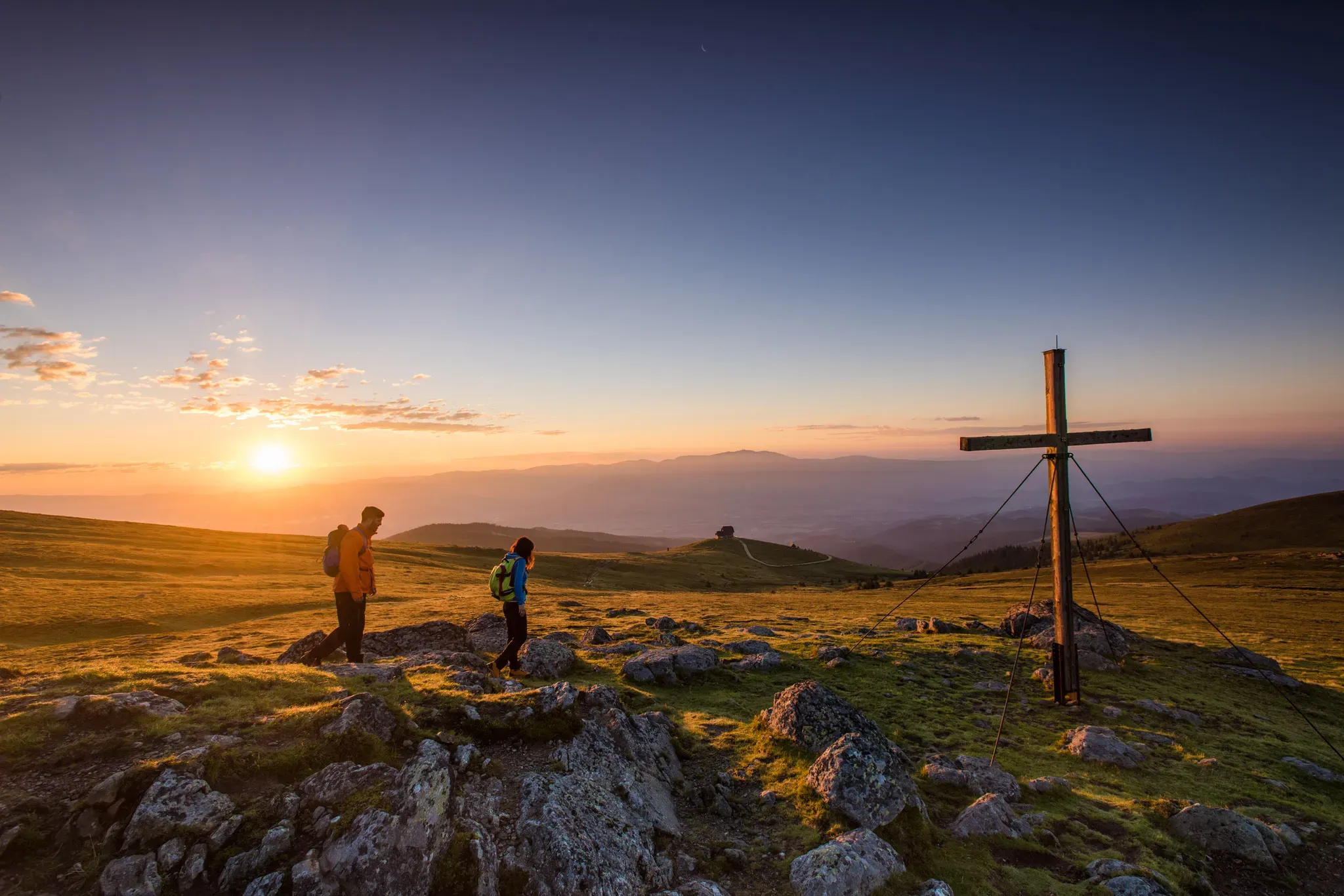
Sweeping Views, Guaranteed: Scenic Tours in Central Carinthia
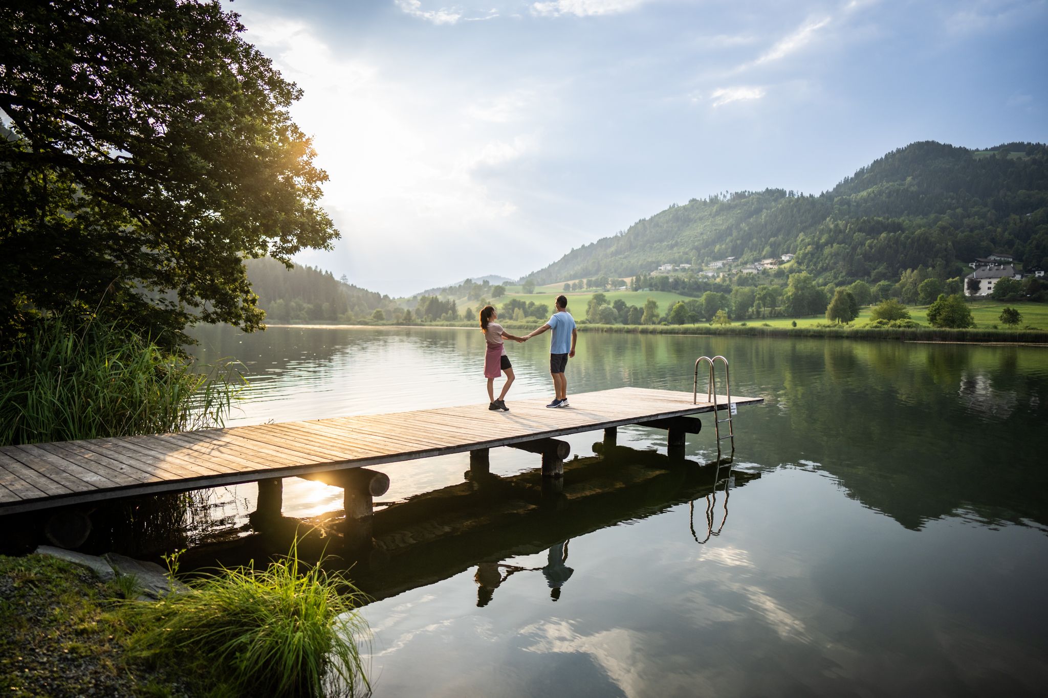
Refreshing Trails – hiking trails on the water in Central Carinthia
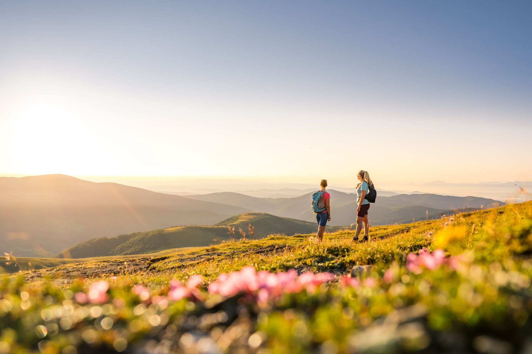
Spectacular and historic – long-distance hiking in Carinthia
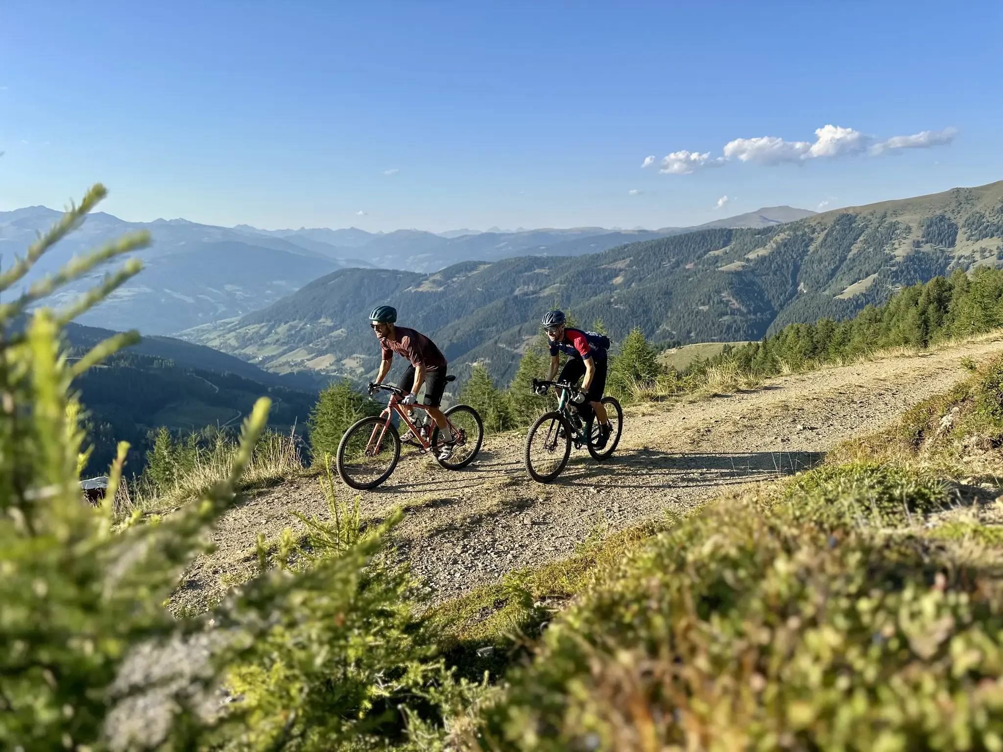
Five Rides Through Gravel Carinthia – Exploring the Nockberge, the Karawanken and Turquoise-Blue Lakes on a Gravel Bike
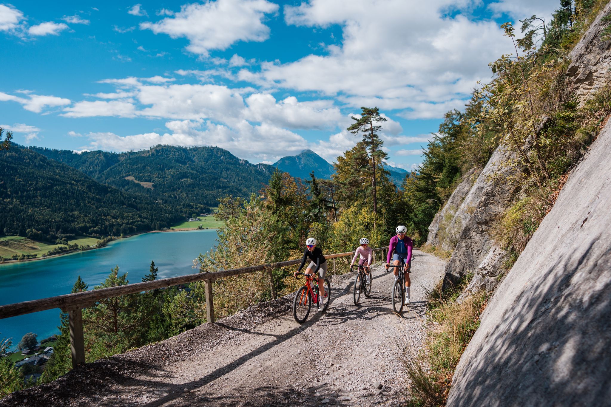
Gravel Carinthia
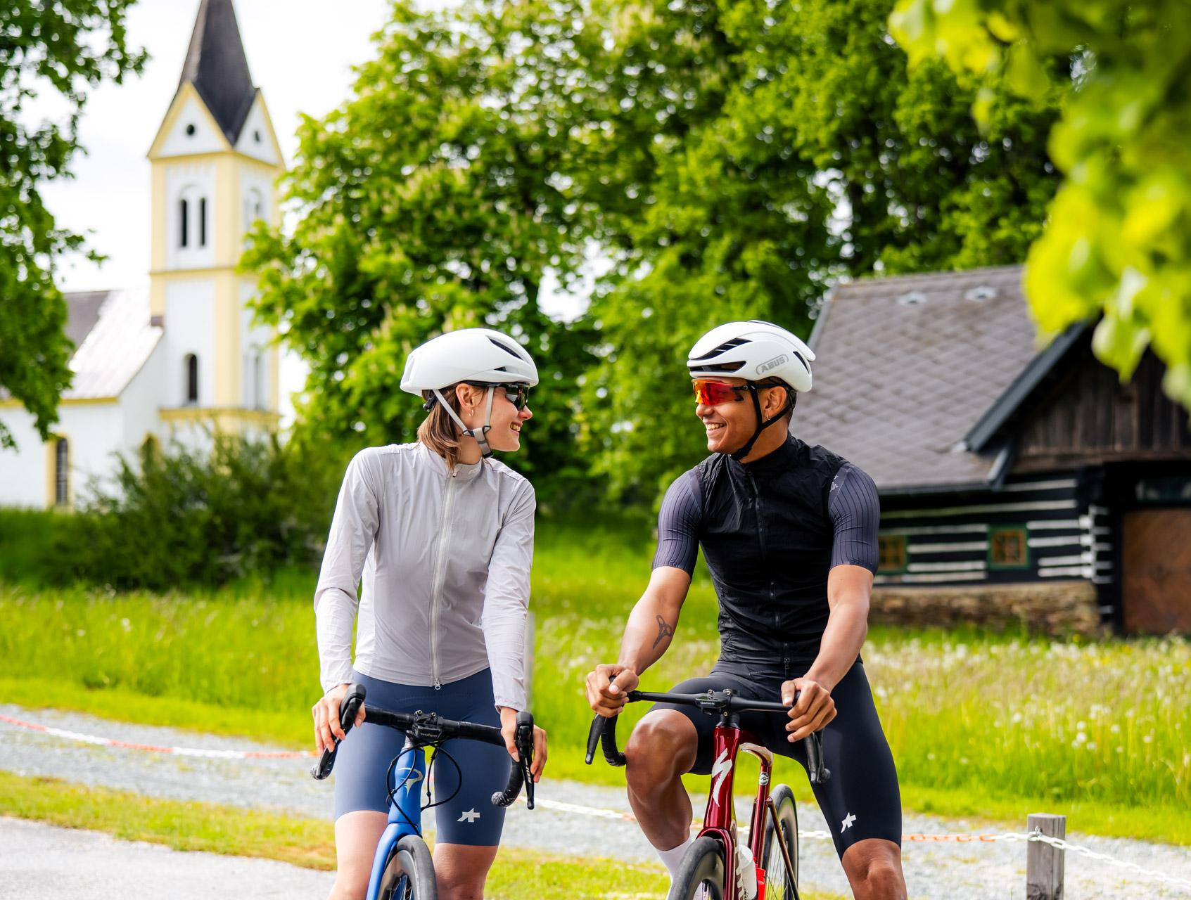
Gravel riding to happiness – gravel action in Central Carinthia
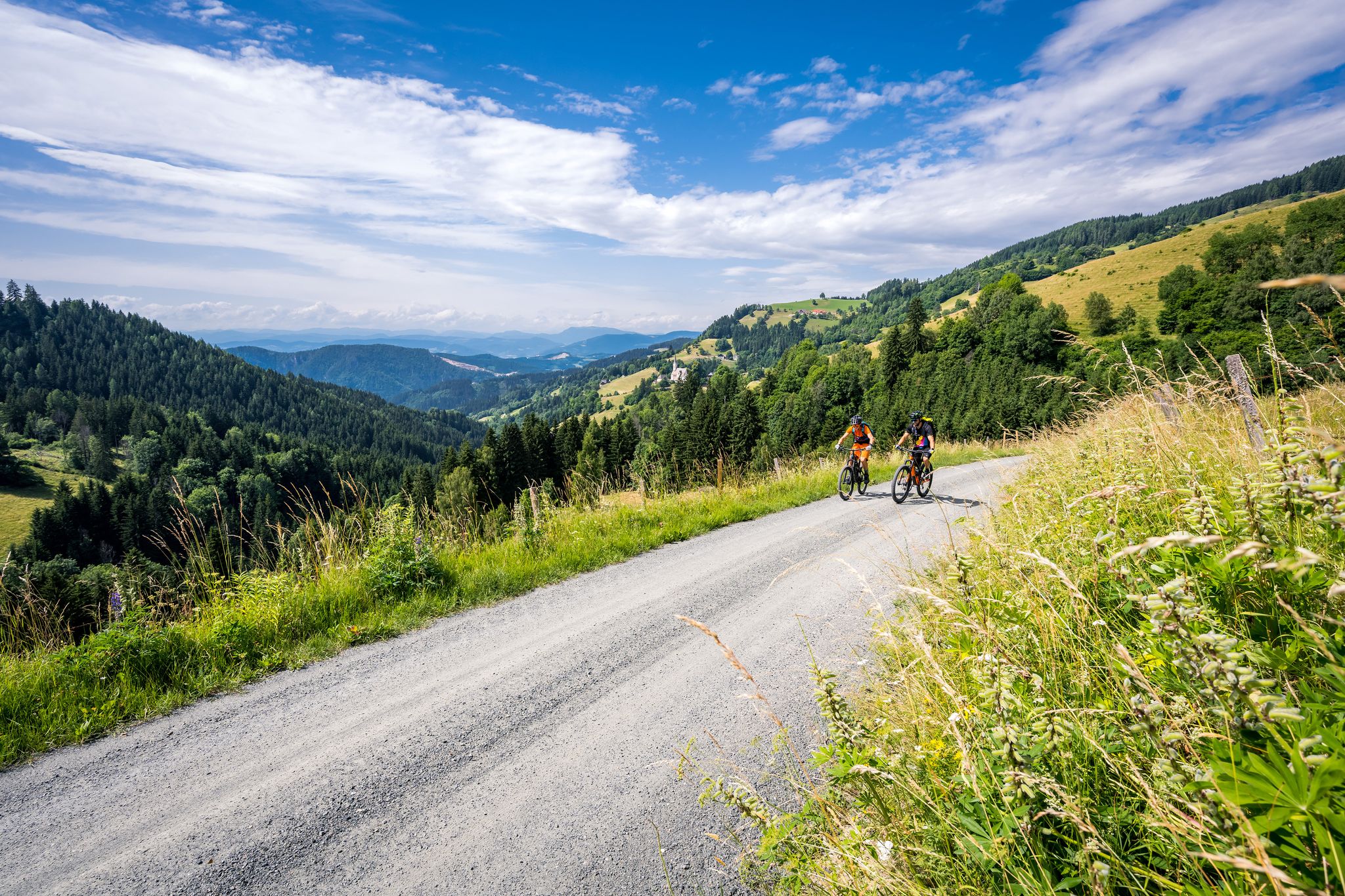
Superb road cycling experiences in Central Carinthia
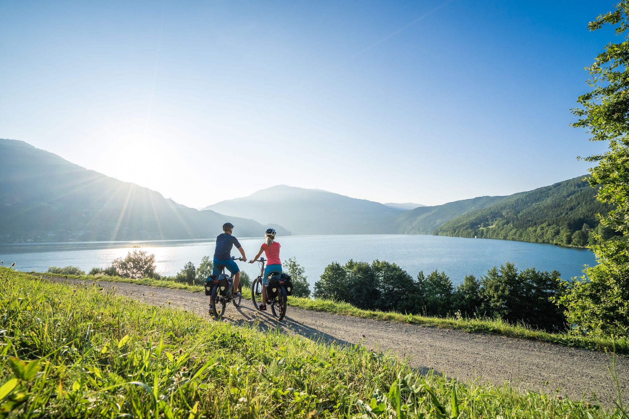
Cycle in the sunny south of Austria – Carinthia Lakes Loop
As we wrote history – the Transcontinental Race #TCRN06
Road Cycling Routes around St Veit an der Glan
Other adventures around St Veit an der Glan


Tips from the Community

Ruin and memorial site very beautiful
0
0

A really great view from up high!
1
0

Here you will find a beautiful wooden crucifix and a bench.
2
0
From this spot you have a view towards Klagenfurt and the Wörthersee. Enjoy it!
1
0

Striking hotel somewhat in the style of Hundertwasser.
2
0

We were at the Weinbar/Burg Café and the prices were really okay. The restaurant is on the 1st floor. I can't say much about it except that it looks appealing.
3
0
It takes about 1 hour to visit the museum. We found the entrance fee too high for what was offered. But everyone can decide for themselves 😉.
4
0

The location is popular for weddings and corporate events (seminar rooms available in the grain silo or Weinbergsaal)
1
0
Frequently Asked Questions
What types of landscapes can I expect to see while hiking around Sankt Veit an der Glan?
The region offers a diverse range of landscapes. You'll find mountainous terrain within the Gurktal Alps, featuring peaks like Ulrichsberg and Magdalensberg, which often provide beautiful summit views. There are also tranquil river valleys along the Glan River, extensive forested areas such as the Wolschartwald, and picturesque natural lakes like Längsee and Hörzendorfer See.
Are there many easy hiking trails suitable for beginners or casual walkers?
Yes, Sankt Veit an der Glan offers a good selection of easy trails. Out of approximately 80 routes, 32 are classified as easy. An example of a gentle walk is the Vituspark loop from Sankt Veit an der Glan, which is about 7 km long.
What kind of historical or cultural attractions can I discover on hikes in the area?
Sankt Veit an der Glan is rich in history. Many trails lead past historic castles, such as Taggenbrunn Castle, Frauenstein Castle, and the medieval Burg Hochosterwitz. You can also explore pilgrim paths like the Hemmaweg 05 or visit chapels, such as the historic Windisches Kreuz Chapel, which is featured on the Windisches Kreuz Chapel loop from Sankt Donat.
Are there any circular hiking routes available?
Yes, many of the hiking routes in Sankt Veit an der Glan are circular, allowing you to start and end at the same point. Examples include the Hiking loop from Ulrichsberg Parkplatz and the Taggenbrunn Castle – Taggenbrunn Castle loop from St. Veit a. d. Glan.
What do other hikers say about the trails in Sankt Veit an der Glan?
The hiking routes in Sankt Veit an der Glan are highly regarded by the komoot community, holding an average rating of 4.7 stars from over 550 reviews. Hikers often praise the varied terrain, the mix of natural beauty with historical sites, and the well-maintained paths.
Are there any hikes that offer particularly good viewpoints?
Yes, the mountainous terrain around Sankt Veit an der Glan, including areas like Ulrichsberg and Muraunberg, provides excellent opportunities for panoramic views. The Rabenfels Summit Cross loop from Ulrichsberg Parkplatz is known for its scenic vistas.
Can I find trails that pass by lakes or other natural water features?
Absolutely. The region is home to natural lakes like Längsee and Hörzendorfer See, which are popular destinations for walks. While specific routes passing directly by these lakes aren't listed here, the presence of the Glan River also means many trails follow river valleys, offering pleasant waterside experiences.
Are there any longer, more challenging hikes for experienced hikers?
While most routes are moderate, there are a few more challenging options. The region features 3 difficult trails out of 80. For a longer moderate option, consider the Castle Wall and Gardens – Vituspark loop from St. Veit a. d. Glan West, which covers over 15 km.
What are some notable landmarks or points of interest near the hiking trails?
Beyond the trails, you can explore the historic Altstadt Sankt Veit (Old Town). Other notable points of interest include the Main Square and Fountain of St. Veit an der Glan, and the picturesque Hörzendorfer See. The region is also known for its numerous castles.
Is it possible to combine hiking with exploring vineyards in the area?
Yes, the Taggenbrunn area, known for its scenic vineyards, offers opportunities to combine hiking with vineyard exploration. The Taggenbrunn Castle – Taggenbrunn Castle loop from St. Veit a. d. Glan is a great way to experience this unique landscape.
How many hiking routes are available in total around Sankt Veit an der Glan?
There are approximately 80 hiking routes available around Sankt Veit an der Glan, catering to various fitness levels and interests.
Most popular routes around St Veit an der Glan
Most popular attractions around St Veit an der Glan

Get inspired with the komoot mobile app


Explore more
Browse the best Hikes in other regions.
