The best mountain hikes around Gschwandt
4.7
(243)
3,884
hikers
58
hikes
Mountaineering routes around Gschwandt offer diverse terrain within the Bezirk Gmunden region. The landscape is characterized by a mix of forested slopes, alpine meadows, and prominent peaks like Katzenstein, providing varied elevation gains. Many routes feature scenic viewpoints overlooking Lake Traunsee and Lake Laudach. The area includes both challenging ascents and more moderate paths suitable for different skill levels.
Best mountaineering routes around Gschwandt
- The most popular mountaineering route is Katzenstein Summit Cross (1,349 m) – Ramsaualm at Laudachsee loop…
Last updated: October 5, 2026
4.8
(12)
159
hikers
10.8km
04:40
650m
650m
Hard mountaineering route. Good fitness required. Sure-footedness, sturdy shoes and alpine experience required.
4.7
(3)
60
hikers
12.4km
04:51
660m
660m
Hard mountaineering route. Good fitness required. Sure-footedness, sturdy shoes and alpine experience required.

5.0
(1)
32
hikers
21.5km
08:00
1,140m
1,140m
Hard mountaineering route. Very good fitness required. Sure-footedness, sturdy shoes and alpine experience required.
4.4
(5)
43
hikers
15.2km
05:22
680m
680m
Hard mountaineering route. Very good fitness required. Mostly accessible paths. Sure-footedness required.
38
hikers
6.48km
03:14
530m
530m
Moderate mountaineering route. Good fitness required. Mostly accessible paths. Sure-footedness required.
Get access to more routes and recommendations from other explorers.
Already have an account?
Our route recommendations are based on thousands of hikes, rides, and runs completed by other people on komoot.
Start today with a free account
Your next adventure awaits.
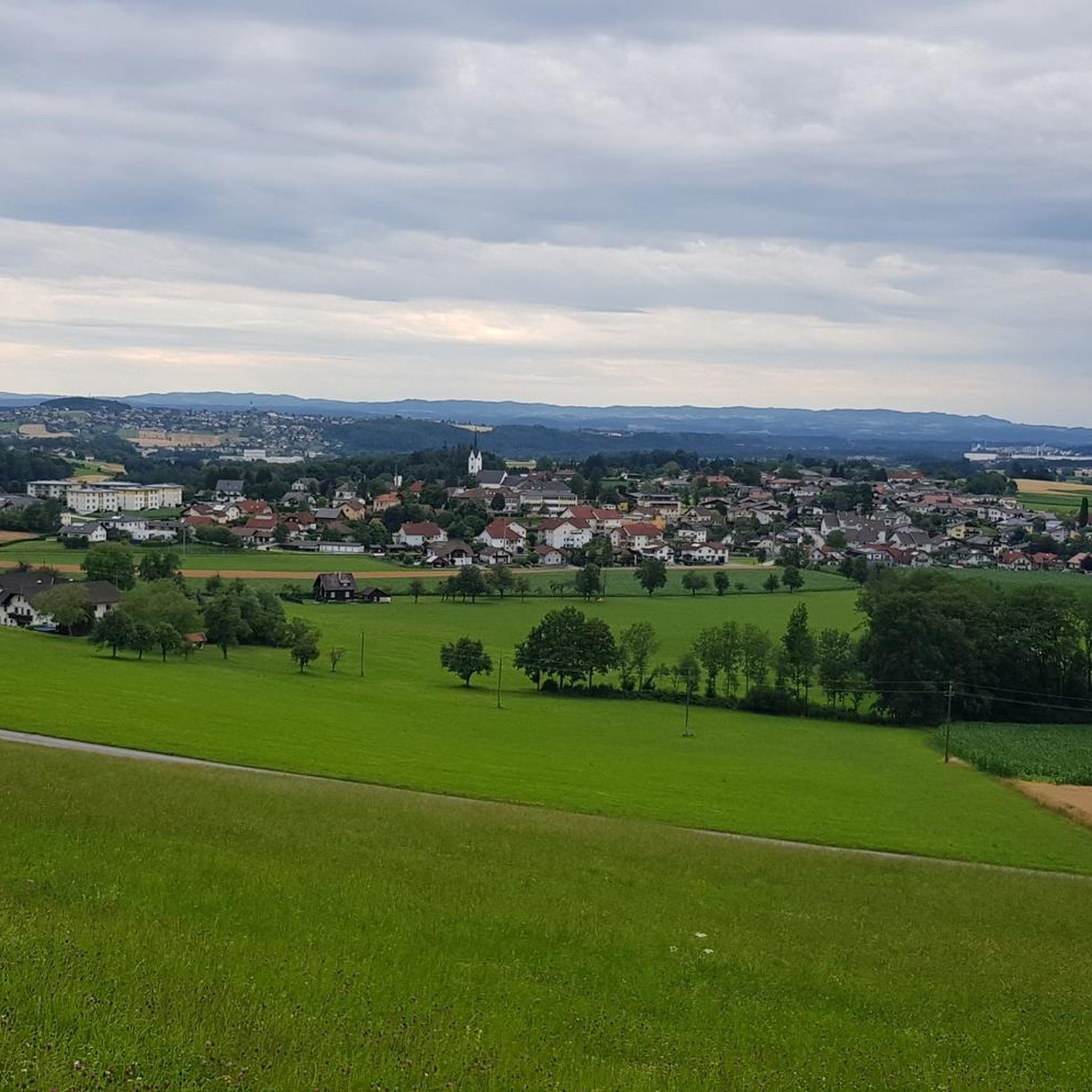
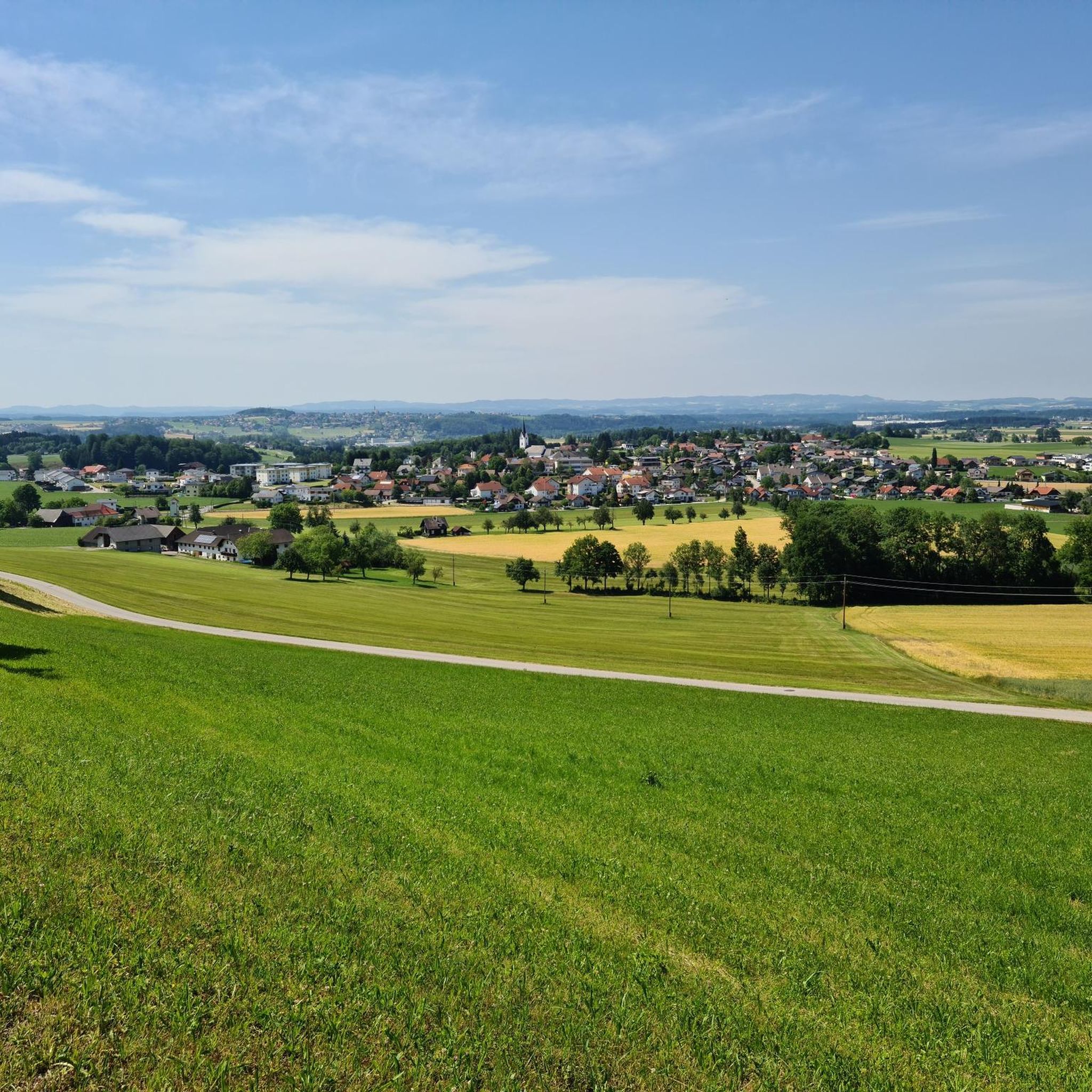
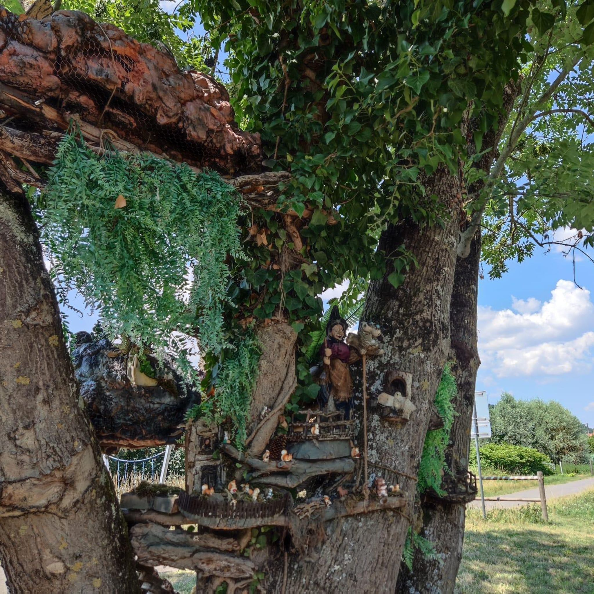
Tips from the Community

The forest road towards Laudachsee is very stony and not easy to ride. Good thing we didn't have to go downhill on this road!
0
0

Surprisingly many people, but very few walk the loop.
0
0
Great destination for an outing, I also recommend swimming (but swim relatively quickly here, as it is very muddy).
0
0

beautiful view of the lake and the Dachstein
0
0

The Lainautunnel is a two-part, 510-meter-long breakthrough through the west wall of the Traunstein, as well as a bridge over the Lainau. It is accessible to foresters and hikers.
0
0

View towards the Traunstein and the light trail
0
0

It's best to drive to the Grünbergalm inn, enjoy a refreshing rest, and then continue on foot along the treetop path until you reach the observation tower.
0
0

There are benches at various viewing points for resting.
2
0
Frequently Asked Questions
Are there easy mountaineering routes around Gschwandt for beginners?
Yes, Gschwandt offers a few easier mountaineering routes suitable for beginners. For instance, the Lake Laudach – Ramsaualm at Laudachsee loop from In der Klamm is a moderate 6.7 km path that takes around 2 hours 25 minutes, offering a good introduction to the region's terrain without excessive difficulty.
Where can I find challenging mountaineering routes in Gschwandt for experienced climbers?
Gschwandt is known for its challenging terrain, with 39 difficult routes available. Experienced mountaineers can tackle the demanding Ramsaualm at Laudachsee – Katzenstein Summit Cross (1,349 m) loop from Franzl im Holz, a 21.6 km path with significant elevation gain, typically requiring around 8 hours to complete.
What is the best season for mountaineering in Gschwandt?
The best season for mountaineering in Gschwandt is generally from late spring to early autumn (May to October). During these months, trails are typically free of snow, and weather conditions are more stable. Always check local weather forecasts before heading out, as alpine weather can change rapidly.
Are there circular mountaineering routes available in Gschwandt?
Many of the mountaineering routes around Gschwandt are designed as loops, allowing you to start and finish at the same point. An example is the Ramsaualm at Laudachsee – View of Lake Traunsee loop from Schloss Weyer, a 15.2 km difficult route that offers varied scenery.
What kind of scenic viewpoints can I expect along the routes?
The mountaineering routes in Gschwandt offer numerous scenic viewpoints, particularly overlooking the stunning Lake Traunsee and Lake Laudach. Many trails lead to prominent peaks like Katzenstein, providing panoramic vistas of the surrounding alpine landscape and the Salzkammergut region.
Are there any interesting landmarks or attractions near the mountaineering trails?
Yes, the region around Gschwandt is rich in attractions. You can explore historical sites like Ort Castle or the Ruins of Scharnstein Castle. For a taste of local alpine culture, consider visiting mountain huts such as the Gmundner Hut or the Moaralm Mountain Hut, many of which offer refreshments.
What do other mountaineers enjoy most about the routes in Gschwandt?
The mountaineering routes in Gschwandt are highly rated by the komoot community, with an average score of 4.8 stars from over 220 reviews. Reviewers often praise the diverse terrain, from forested slopes to alpine meadows, the challenging ascents to prominent peaks, and the rewarding views over Lake Traunsee and Lake Laudach.
Are there options for less crowded mountaineering trails in Gschwandt?
While some popular routes can see more traffic, Gschwandt offers a total of 60 mountaineering tours, providing ample opportunity to find quieter paths. Exploring routes during off-peak hours or choosing less-known trails can lead to a more serene experience. The region's extensive network allows for varied choices beyond the most frequented spots.
Are dogs allowed on the mountaineering routes in Gschwandt?
Generally, dogs are welcome on most mountaineering trails in Austria, including around Gschwandt. However, it is crucial to keep your dog on a leash, especially in nature protection areas, near livestock, or in areas with wildlife. Always carry water for your dog and clean up after them.
Are there any cafes or pubs near the mountaineering routes in Gschwandt?
Yes, you'll find several options for refreshments. Many mountain huts, such as the Gasthaus Schwarz or the Traunstein Hut, offer food and drinks, providing a welcome break during or after your hike. There are also establishments in the nearby towns and villages.
What should I know about parking and trailheads for mountaineering in Gschwandt?
Parking availability varies by trailhead. Many routes, especially those starting from popular areas like 'In der Klamm' or 'Franzl im Holz', have designated parking areas, though they can fill up quickly during peak season. It's advisable to arrive early or consider public transport options where available. Always check for any parking fees or restrictions.
Do I need any special permits for mountaineering in Gschwandt?
For general mountaineering and hiking on marked trails in the Gschwandt area, you typically do not need special permits. However, if you plan to engage in specific activities like climbing in designated areas or entering certain nature reserves, it's always best to check local regulations beforehand.
Are there any family-friendly mountaineering trails in Gschwandt?
While many routes are challenging, there are options for families. Look for the moderate-rated tours, which tend to be shorter and have less extreme elevation changes. For example, the View of Lake Traunsee loop from Schloss Weyer is a moderate 6.5 km route that offers beautiful views without being overly strenuous, making it suitable for families with older children.
Most popular routes around Gschwandt
Most popular attractions around Gschwandt

Get inspired with the komoot mobile app


Explore more
Browse the best Mountain Hikes & Routes in other regions.
