The best walks and hikes around Gschwandt
4.5
(6204)
44,152
hikers
25
hikes
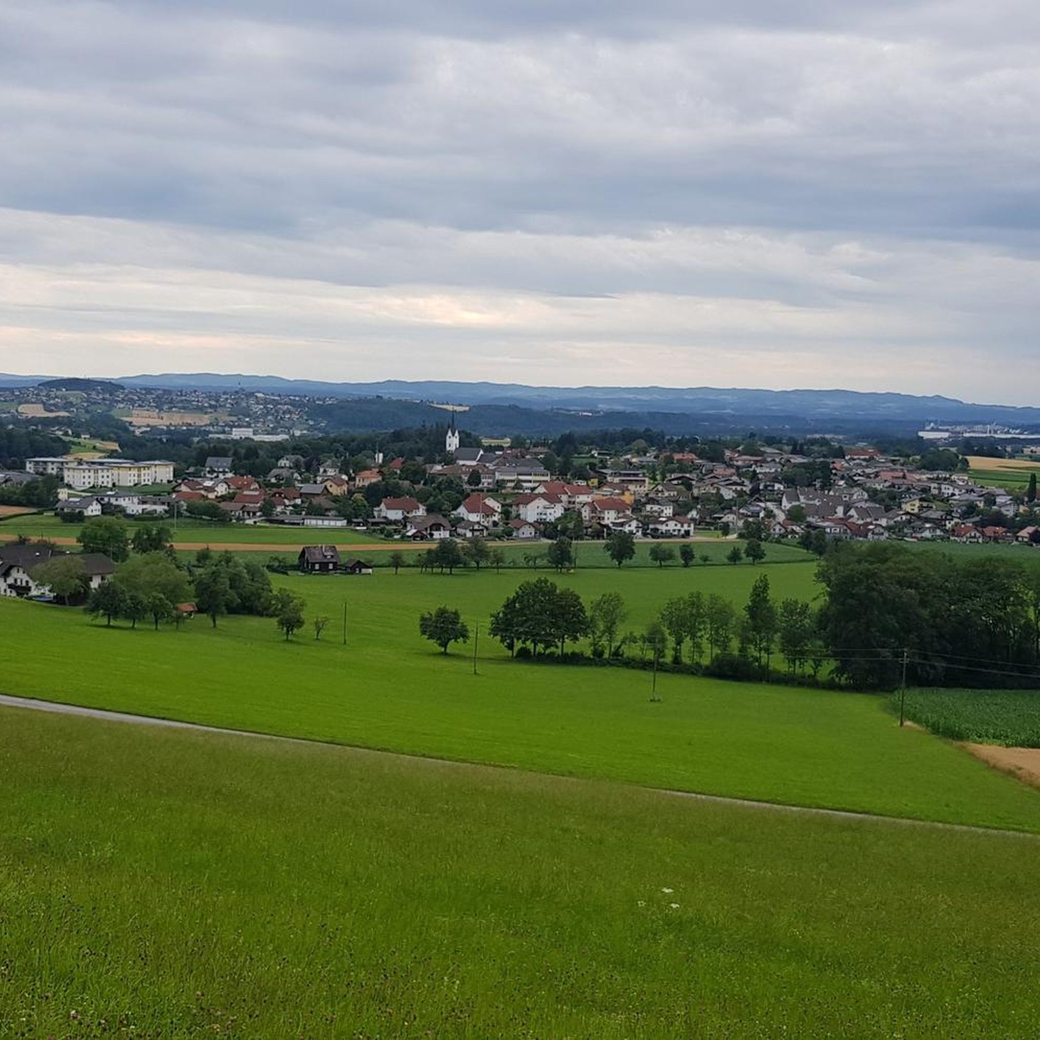
Hiking trails around Gschwandt offer a variety of routes through the region's landscape. The area features prominent natural elements such as Lake Laudach and Lake Traunsee, providing lakeside paths and scenic viewpoints. Terrain includes forested sections and open areas, with some routes offering views of the Flachberg hill. The network of trails provides options for different levels of elevation gain.
Best hiking trails around Gschwandt
- The most popular hiking route is Laudachsee Lakeside Trail – Lake Laudach loop from Äußere…
Last updated: October 9, 2026
4.7
(164)
1,095
hikers
12.7km
03:54
380m
380m
Moderate hike. Good fitness required. Mostly accessible paths. Sure-footedness required.
4.4
(5)
18
hikers
Moderate hike. Good fitness required. Easily-accessible paths. Suitable for all skill levels.

36
hikers
12.6km
04:32
560m
560m
Moderate hike. Good fitness required. Mostly accessible paths. Sure-footedness required.
4.8
(4)
21
hikers
14.2km
04:44
590m
590m
Moderate hike. Good fitness required. Mostly accessible paths. Sure-footedness required.
4.0
(1)
21
hikers
7.64km
02:21
270m
270m
Moderate hike. Good fitness required. Easily-accessible paths. Suitable for all skill levels.
Get access to more routes and recommendations from other explorers.
Already have an account?
Our route recommendations are based on thousands of hikes, rides, and runs completed by other people on komoot.
Start today with a free account
Your next adventure awaits.

Tips from the Community

The forest road towards Laudachsee is very stony and not easy to ride. Good thing we didn't have to go downhill on this road!
0
0

Surprisingly many people, but very few walk the loop.
0
0
Great destination for an outing, I also recommend swimming (but swim relatively quickly here, as it is very muddy).
0
0

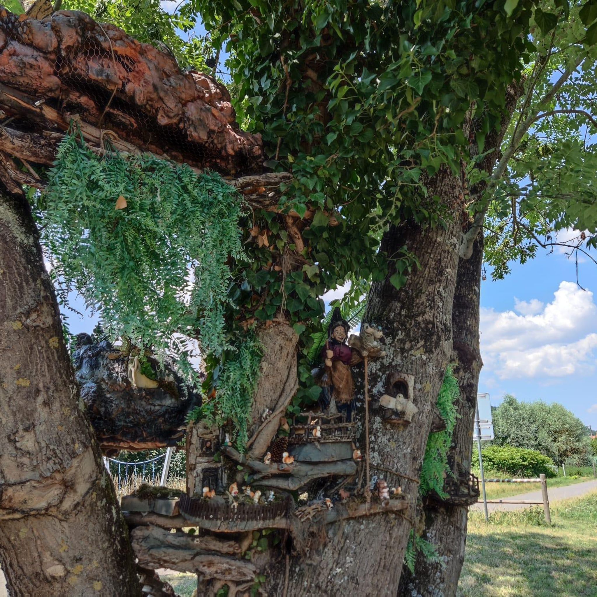
Along the path, wooden sculptures about the legend of the giant's and the nixie's love. The Siebenbrünnlein also tells a legend about the witch Kranawitha.
0
0

The 39-meter-high observation tower on the Grünberg in Gmunden (Upper Austria) is the highlight of the Salzkammergut treetop path. The tower, made almost entirely of wood, offers a 360-degree panoramic view of the Traunsee lake, the Traunstein mountain, and the Dachstein massif via an accessible ramp. Action fans can use the 75-meter-long tunnel slide for the descent. [1, 2, 3]
0
0

The sculpture near the Laudachsee on the Traunstein depicts the legendary giant Erla and the nixie (mermaid) Blondchen. The wooden sculpture illustrates the tragic love story of the two. The giant Erla, who lived on the Traunstein, fell in love with the nixie Blondchen from the Laudachsee and built Schloss Ort in the Traunsee for her.
0
0

View towards the Traunstein and the light trail
0
0

The Röserlsteig is the steepest path up the Grünberg. At the end, a fantastic view of the observation tower is well worth the effort.
1
0
Frequently Asked Questions
How many hiking trails are available around Gschwandt?
Gschwandt offers a diverse network of over 25 hiking trails, catering to various skill levels. You'll find options ranging from easy strolls to more challenging routes, all providing unique perspectives of the region's natural beauty.
What is the best time of year to go hiking in Gschwandt?
The hiking season in Gschwandt generally runs from spring through autumn. Spring brings blooming landscapes, while summer offers warm weather perfect for lakeside activities. Autumn is particularly scenic with vibrant foliage, though it's wise to check weather conditions and dress in layers. Winter hiking is possible on cleared paths, but some trails may be inaccessible due to snow or ice.
Are there easy hiking trails suitable for beginners in Gschwandt?
Yes, Gschwandt has a good selection of easy trails perfect for beginners or those looking for a relaxed walk. Out of the 25 available routes, 15 are classified as easy, offering gentle terrain and manageable distances. These often feature pleasant paths around the lakes or through forests.
Are there any circular hiking routes in Gschwandt?
Many of the trails in Gschwandt are designed as circular routes, allowing you to start and end at the same point. For example, the Laudachsee Lakeside Trail – Lake Laudach loop from Äußere Laudach is a popular moderate loop offering beautiful lakeside views.
What natural attractions can I explore while hiking in Gschwandt?
The Gschwandt area is rich in natural attractions. You can discover stunning features like Lake Laudach and the expansive Lake Traunsee. For those interested in dramatic landscapes, the nearby Traunfall Waterfall and the Kaltenbach Gorge offer impressive sights.
Are there any specific landmarks or points of interest along the trails?
Absolutely. Hikers can enjoy views of prominent landmarks such as the Flachberg hill, often visible from trails like the View of Flachberg – Wooden Bridge in the Forest loop from Gschwandt-Rabesberg. You might also catch glimpses of Grünberg Summit and Treetop Walk or even Schloss Ort in Gmunden from certain viewpoints overlooking Lake Traunsee.
Are the hiking trails around Gschwandt suitable for families with children?
Yes, many trails in Gschwandt are family-friendly, especially the easier routes. The region's gentle paths around Lake Laudach or through the forests provide safe and enjoyable experiences for all ages. Look for routes with minimal elevation gain and shorter distances for younger children.
Can I bring my dog on the hiking trails in Gschwandt?
Generally, dogs are welcome on hiking trails in Gschwandt. However, it's always recommended to keep them on a leash, especially in nature protection areas, near wildlife, or when passing other hikers. Please also remember to clean up after your pet.
Is there public transport access to the hiking trails in Gschwandt?
While Gschwandt is primarily accessed by car, some trailheads may be reachable via local bus services from larger towns like Gmunden. It's advisable to check the regional public transport schedules in advance for specific routes and stops closest to your desired starting point.
Where can I find parking near the hiking trailheads in Gschwandt?
Parking is generally available near popular trailheads and points of interest in and around Gschwandt. Many routes, such as those starting from Gschwandt-Rabesberg or Äußere Laudach, have designated parking areas. It's always a good idea to arrive early, especially on weekends, to secure a spot.
What do other hikers enjoy most about the trails in Gschwandt?
The hiking trails in Gschwandt are highly regarded by the komoot community, boasting an average rating of 4.5 stars from over 3,400 reviews. Hikers frequently praise the diverse scenery, including the beautiful lake views and peaceful forested sections. The well-maintained paths and variety of difficulty levels also contribute to the positive feedback.
Are there opportunities for winter hiking in Gschwandt?
Yes, Gschwandt offers opportunities for winter hiking, particularly on lower-elevation paths and around the lakes. Some trails are cleared or suitable for walking in light snow. However, conditions can vary, so it's crucial to check local weather forecasts, trail conditions, and be equipped with appropriate winter gear, such as sturdy, waterproof boots and possibly microspikes for icy sections.
What should I wear for hiking in Gschwandt, especially in autumn?
For hiking in Gschwandt, especially during autumn, layering is key. Wear moisture-wicking base layers, an insulating mid-layer (like a fleece), and a waterproof and windproof outer shell. Sturdy hiking boots with good ankle support are essential, as are comfortable socks. In autumn, temperatures can drop, so a hat and gloves are also recommended. Always check the weather forecast before heading out.
Most popular routes around Gschwandt
Most popular attractions around Gschwandt

Get inspired with the komoot mobile app


Explore more
Browse the best Hikes in other regions.
