The best mountain hikes around Sankt Martin im Mühlkreis
4.5
(2)
47
hikers
5
hikes
Mountaineering routes around Sankt Martin im Mühlkreis are characterized by the region's varied terrain, which includes forested hills and river valleys. The area is part of the Mühlviertel, offering routes that often feature views of the Danube River, particularly around the famous Schlögener Schlinge. Elevations are generally moderate, providing accessible options for different skill levels. The landscape combines natural beauty with historical points of interest, such as castle ruins.
Best mountaineering routes around Sankt Martin im Mühlkreis
- The most popular mountaineering route is Schlögen Loop – Schlögen Loop loop from Schlögen, a 7.3 miles (11.8 km) trail that takes 3 hours 30 minutes to complete. This moderate route offers expansive views of the Danube river bend.
- Another top favourite among local mountaineers is Schlögen Loop – Schlögen Loop loop from Haibach ob der Donau, a difficult 11.0 miles (17.7 km) path. This longer route provides a challenging experience through the scenic river landscape.
- Local mountaineers also love the View of the Schlögener Loop loop from Schlögen, a 2.1 miles (3.3 km) trail leading through forested paths to a prominent viewpoint, often completed in about 1 hour 13 minutes.
- Mountaineering around Sankt Martin im Mühlkreis is defined by river valleys, forested hills, and historical sites. The network offers options for easy, moderate, and difficult routes, catering to various ability levels.
- The routes in Sankt Martin im Mühlkreis are highly rated by the komoot community with an average score of 4.5 stars from over 2 reviews. More than 40 mountaineers have used komoot to explore Sankt Martin im Mühlkreis's varied terrain.
Last updated: July 5, 2026
5.0
(1)
14
hikers
11.8km
03:30
320m
320m
Moderate mountaineering route. Good fitness required. Easily-accessible paths. Suitable for all skill levels.
11
hikers
17.7km
05:05
410m
410m
Hard mountaineering route. Very good fitness required. Easily-accessible paths. Suitable for all skill levels.

Sign up for free
4.0
(1)
10
hikers
3.66km
01:18
200m
200m
Easy mountaineering route. Great for any fitness level. Easily-accessible paths. Suitable for all skill levels.
9
hikers
7.74km
02:12
180m
180m
Moderate mountaineering route. Good fitness required. Easily-accessible paths. Suitable for all skill levels.
3
hikers
Moderate mountaineering route. Good fitness required. Easily-accessible paths. Suitable for all skill levels.
Our route recommendations are based on thousands of hikes, rides, and runs completed by other people on komoot.
Start today with a free account
Your next adventure awaits.
Login or Signup
Popular around Sankt Martin im Mühlkreis

Danube Trail – Legendary long-distance hiking along the Danube River
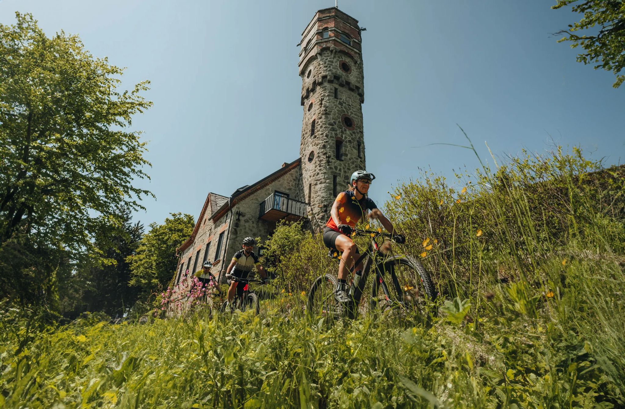
Forests, hamlets and water – bike on the Granit-Bier-Runde

E-bike Tours in the Danube region in Upper Austria

Simply amazing – 13 hikes along the Donausteig
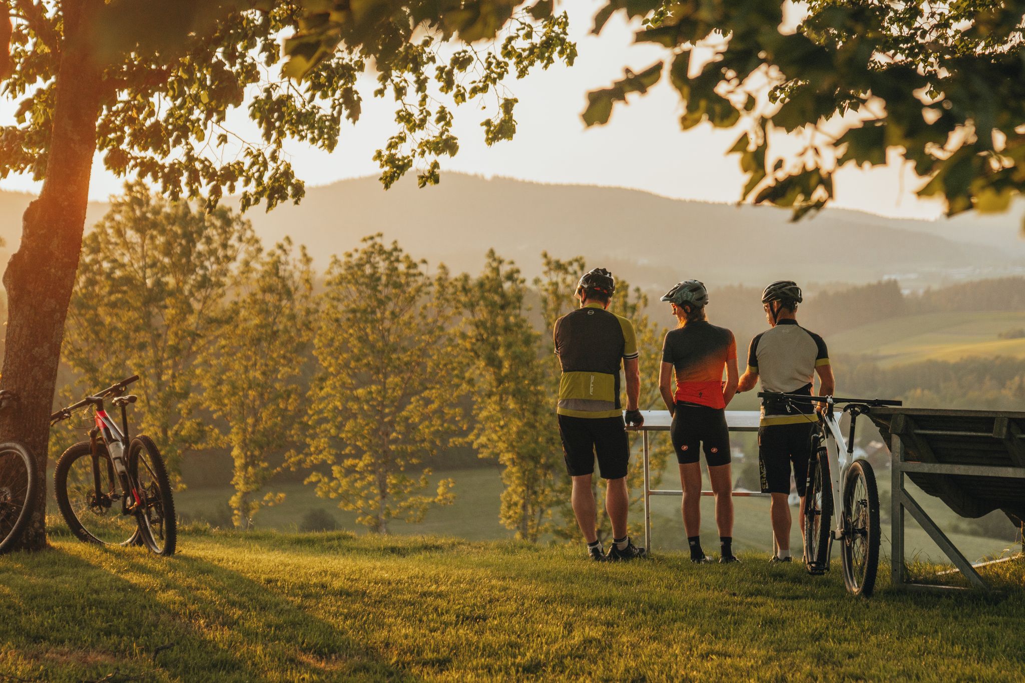
Biken auf der Grande Granit-Runde
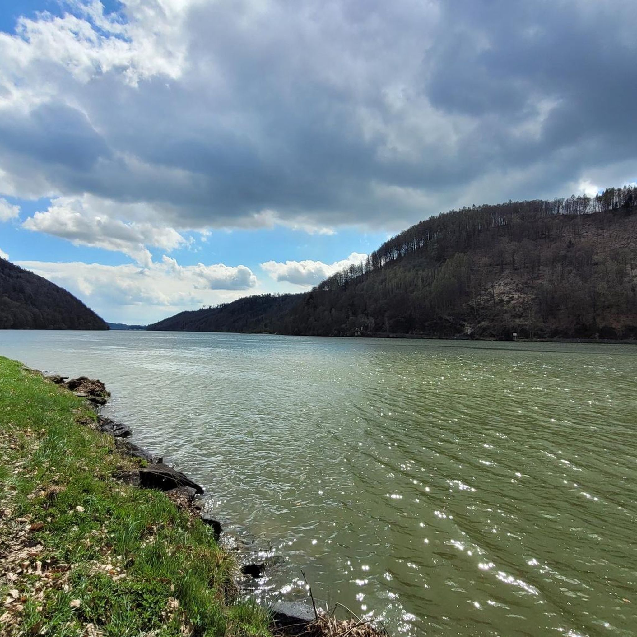
Road Cycling Routes around Sankt Martin im Mühlkreis
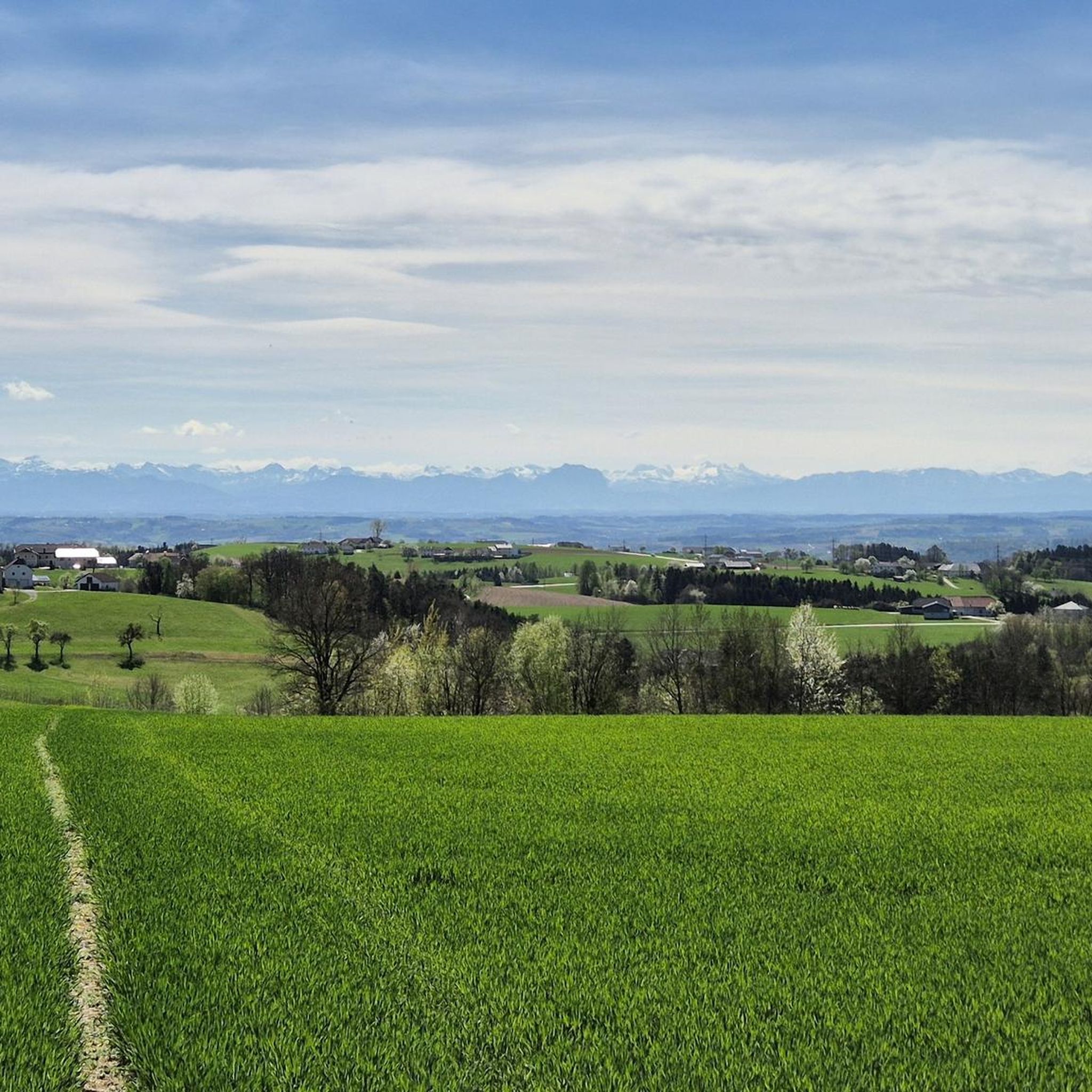
Hiking around Sankt Martin im Mühlkreis
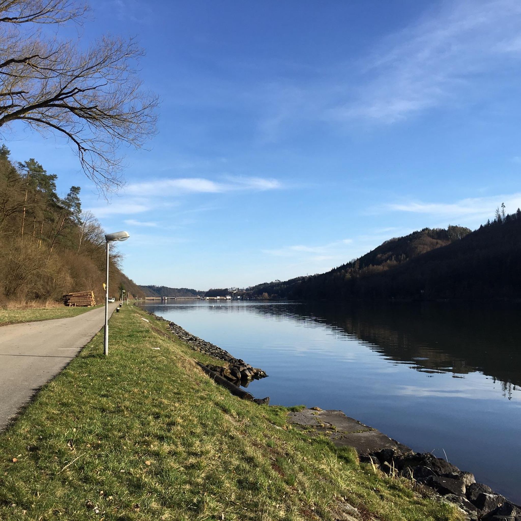
Cycling around Sankt Martin im Mühlkreis
Running Trails around Sankt Martin im Mühlkreis
MTB Trails around Sankt Martin im Mühlkreis
Other adventures around Sankt Martin im Mühlkreis


Tips from the Community

There must have been a little emergency landing there 🤣
0
0
Great trail, only the railings could do with a repair.
0
0
Beautiful what nature can create
0
0

Very nice hike, you are in the shade a lot.
1
0

Beautiful viewpoint, from Inzell the path is partly quite steep and rocky.
1
0

Minerals in the granite reflect the light, giving the alley a bluish appearance under certain lighting conditions. The combination of water, rocks, and forest creates an almost fairytale atmosphere.
1
0
Frequently Asked Questions
How many mountaineering routes are available around Sankt Martin im Mühlkreis?
There are 5 mountaineering routes detailed in this guide for Sankt Martin im Mühlkreis, offering a variety of experiences for different skill levels.
What are the difficulty levels of mountaineering routes in this region?
The routes around Sankt Martin im Mühlkreis cater to various abilities. You'll find 1 easy route, 3 moderate routes, and 1 difficult route, ensuring options for beginners and experienced mountaineers alike.
Are there easy mountaineering routes suitable for beginners or families?
Yes, for an easier experience, consider the View of the Schlögener Loop loop from Schlögen. This 2.1-mile (3.3 km) trail is rated easy and leads through forested paths to a prominent viewpoint, taking about 1 hour 13 minutes.
Where can I find more challenging mountaineering routes?
For a more demanding adventure, the Schlögen Loop – Schlögen Loop loop from Haibach ob der Donau is a difficult 11.0-mile (17.7 km) path. This longer route provides a challenging experience through the scenic river landscape.
What kind of views can I expect on these routes?
Mountaineering routes in Sankt Martin im Mühlkreis often feature stunning views of the Danube River, particularly around the famous Schlögener Schlinge. You'll also encounter picturesque forested hills and river valleys characteristic of the Mühlviertel region.
Are there circular mountaineering routes available?
Yes, many routes in the area are circular. For example, the Green Pond – Pesenbachsteig Trail loop from Ruine Oberwallsee is a moderate 4.8-mile (7.7 km) loop that offers a great way to explore the local landscape.
What is the typical duration for mountaineering routes in the area?
Route durations vary significantly. Shorter, easy routes like the View of the Schlögener Loop loop from Schlögen can be completed in just over an hour, while longer, difficult routes such as the Schlögen Loop – Schlögen Loop loop from Haibach ob der Donau can take over 5 hours.
Are there any historical sites or landmarks along the mountaineering routes?
Yes, the region combines natural beauty with historical points of interest. You can explore routes that pass by castle ruins, such as the Waxenberg Castle Ruins – St. Veit Church in Mühlkreis loop from St. Veit im Mühlkreis, which is a moderate 5.3-mile (8.5 km) tour.
What do other mountaineers enjoy the most about mountaineering in Sankt Martin im Mühlkreis?
The area is highly rated by the komoot community, with an average score of 4.5 stars. Reviewers often praise the varied terrain, the stunning views of the Danube, and the well-maintained paths that cater to different skill levels.
Are there any gorges or natural attractions to explore near the routes?
Absolutely. The region is known for its beautiful gorges. You can find highlights like the Pesenbachsteig Trail, Aschach Valley, and the Deep Danube Valley, which offer impressive natural scenery.
Can I find routes that pass by lakes or water features?
Yes, there are several lakes and water features in the vicinity. The Green Pond – Pesenbachsteig Trail loop from Ruine Oberwallsee, for instance, is near the Green Pond. Other highlights include the Brandstatt Danube Harbor and Lake and the Feldkirchner Lakes.
What is the best time of year for mountaineering in Sankt Martin im Mühlkreis?
The region's moderate elevations and varied terrain make it suitable for mountaineering across multiple seasons. While specific conditions can vary, spring and autumn generally offer pleasant temperatures and vibrant landscapes. Always check local weather conditions before heading out.
Most popular routes around Sankt Martin im Mühlkreis
Most popular attractions around Sankt Martin im Mühlkreis

Get inspired with the komoot mobile app


Explore more
Browse the best Mountain Hikes & Routes in other regions.
