The best mountain hikes around Niederkappel
4.5
(2)
37
hikers
4
hikes
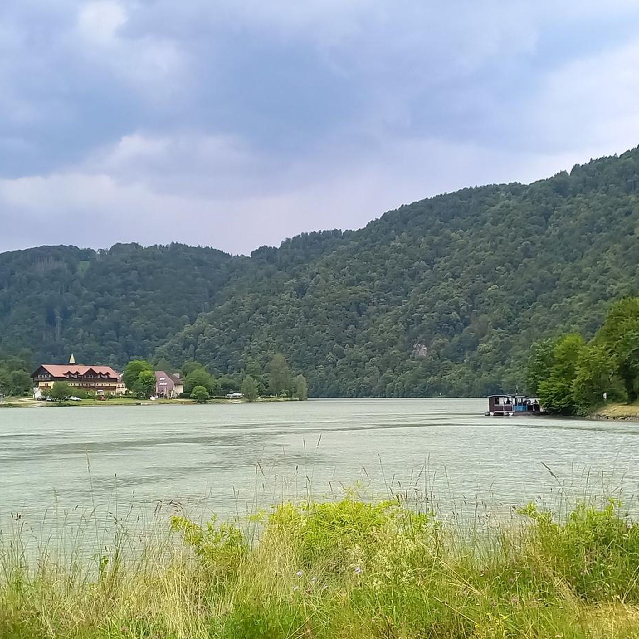
Mountaineering routes around Niederkappel, located in the southwestern Mühlviertel region of Austria, are characterized by demanding alpine-style trekking experiences. The landscape features significant elevation changes, dense forested sections, and dramatic river views, particularly around the Donauschlinge (Danube Loop). These routes often require good fitness and sure-footedness, traversing varied terrain that includes natural rock formations.
Best mountaineering routes around Niederkappel
- The most popular mountaineering route is Schlögen Loop – Schlögen Loop loop from Schlögen, a 7.3 miles (11.8 km) trail…
Last updated: July 2, 2026
5.0
(1)
14
hikers
11.8km
03:30
320m
320m
Moderate mountaineering route. Good fitness required. Easily-accessible paths. Suitable for all skill levels.
11
hikers
17.7km
05:05
410m
410m
Hard mountaineering route. Very good fitness required. Easily-accessible paths. Suitable for all skill levels.

Sign up for free
4.0
(1)
10
hikers
3.66km
01:18
200m
200m
Easy mountaineering route. Great for any fitness level. Easily-accessible paths. Suitable for all skill levels.
2
hikers
8.54km
02:43
320m
320m
Moderate mountaineering route. Good fitness required. Easily-accessible paths. Suitable for all skill levels.
Our route recommendations are based on thousands of hikes, rides, and runs completed by other people on komoot.
Start today with a free account
Your next adventure awaits.
Login or Signup
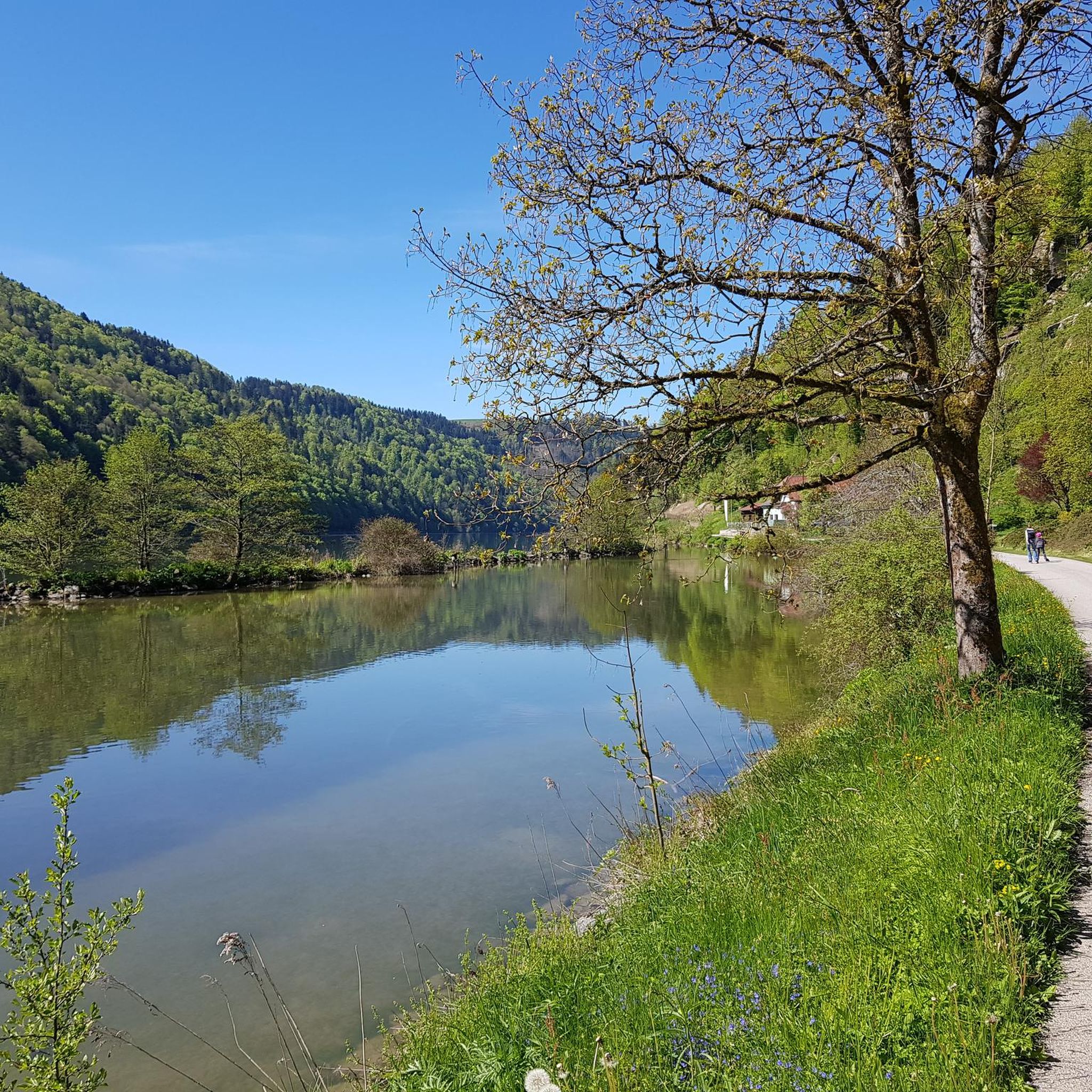
Tips from the Community


Beautiful viewpoint, from Inzell the path is partly quite steep and rocky.
1
0

From here you can start many hikes.
1
0
The Steinerfelsen summit invites you to rest and enjoy the beautiful view of the Danube.
1
0
The descent to the waterfall is secured with a rope, but is easy to manage with good hiking boots.
1
0

This is one of the most famous photo spots on the Danube. Definitely worth a visit 😉.
2
0

The Roman Catholic parish church of Haibach ob der Donau, dedicated to St. Ulrich, is located in the municipality of Haibach ob der Donau in the district of Eferding.
0
0

From the "Schlögener Blick" viewpoint you have a spectacular panoramic view of the loop. You can reach the viewpoint via hiking trails and it is particularly worthwhile at sunset or in the golden hour because the landscape is particularly impressive then.
5
0
Frequently Asked Questions
What kind of mountaineering experience can I expect around Niederkappel?
Mountaineering routes around Niederkappel offer demanding alpine-style trekking experiences. The landscape is characterized by significant elevation changes, dense forested sections, and dramatic river views, particularly around the iconic Donauschlinge (Danube Loop). These routes often require good fitness, sure-footedness, sturdy shoes, and some alpine experience.
Are there any easy mountaineering routes suitable for beginners in Niederkappel?
Yes, for those seeking a less strenuous introduction to the area's beauty, the View of the Schlögener Loop loop from Schlögen is an excellent choice. This easy 3.3 km route offers beautiful views without the intense elevation gain of other trails.
Which mountaineering routes offer the most challenging experience?
For experienced mountaineers looking for a significant challenge, the Schlögen Loop – Schlögen Loop loop from Haibach ob der Donau is a difficult 17.7 km path. It features considerable elevation gain and challenging sections through the forested hills above the Danube, requiring very good fitness and alpine experience.
Are there any routes that feature waterfalls?
Yes, the View of Wesenufer – Bockbach Waterfall loop from Niederranna is a moderate 8.5 km trail that leads through river valleys and past the beautiful Bockbach Waterfall, offering a refreshing natural highlight along the way.
Can I find circular mountaineering routes in the Niederkappel area?
Absolutely, many of the routes in Niederkappel are designed as loops. For example, the popular Schlögen Loop – Schlögen Loop loop from Schlögen is a moderate 11.8 km circular trail offering panoramic views of the Danube.
What are some notable natural attractions or viewpoints along the mountaineering routes?
The region is famous for the dramatic Donauschlinge (Danube Loop), which offers breathtaking views. You might also encounter the unique Teufelskirche Rock Formation on some trails. The Naturlehrpfad Donauschlinge also provides an immersive experience with insights into local geology and flora.
Are there any historical landmarks or castles to explore near the mountaineering trails?
Yes, the area around Niederkappel is rich in history. You can find several castles and ruins nearby, such as the impressive Falkenstein Castle Ruins or Marsbach Castle. Many routes offer glimpses of these historical sites, adding another layer to your outdoor adventure.
What do other mountaineers say about the routes in Niederkappel?
The mountaineering routes in Niederkappel are highly rated by the komoot community, with an average score of 4.5 stars from over 2 reviews. Mountaineers often praise the dramatic river views, the diverse forested sections, and the significant elevation changes that make for a rewarding and challenging experience.
When is the best time of year for mountaineering in Niederkappel?
The best time for mountaineering in Niederkappel is generally during the warmer months, from late spring to early autumn. This period offers more stable weather conditions, clearer paths, and the full beauty of the region's flora. Always check local weather forecasts before heading out, as conditions can change rapidly in mountainous terrain.
Are there any specific gorges or valleys worth exploring in addition to the main trails?
Beyond the main mountaineering routes, the region boasts several impressive gorges and valleys. The Aschach Valley and Ranna Valley are particularly notable for their rugged beauty and offer additional opportunities for exploration and scenic views.
What should I be aware of regarding the difficulty of these routes?
The mountaineering routes around Niederkappel are generally considered demanding. They often involve significant elevation changes and varied terrain, including sections with natural rock formations. It's crucial to have very good fitness, be sure-footed, wear sturdy shoes, and possess some alpine experience to safely enjoy these trails.
Most popular routes around Niederkappel
Most popular attractions around Niederkappel

Get inspired with the komoot mobile app


Explore more
Browse the best Mountain Hikes & Routes in other regions.
