The best road cycling routes around Niederkappel
4.5
(71)
2,399
riders
170
rides
Road cycling routes around Niederkappel are characterized by their proximity to the Danube River, offering routes along its banks and through the surrounding Mühlviertel region. The terrain features rolling hills and valleys, with elevation gains indicating varied cycling challenges. Routes often pass through agricultural landscapes, small villages, and forested sections.
Best road cycling routes around Niederkappel
- The most popular road cycling route is Marsbach Castle – Schlögen Loop loop from Hofkirchen im Mühlkreis, a 37.5 miles (60.3 km) trail that takes 2 hours 41 minutes to complete. This moderate route offers views of Marsbach Castle and the notable Schlögen bend of the Danube.
- Another top favourite among local road cyclists is Obernzell on the Danube – View of Engelhartszell loop from Hofkirchen im Mühlkreis, a moderate 30.0 miles (48.3 km) path. This route provides scenic stretches along the Danube and views towards Engelhartszell.
- Local road cyclists also love the Untermühl – Obermühl loop from Kirchberg ob der Donau, a 22.4 miles (36.0 km) trail leading through the Danube valley, often completed in about 1 hour 48 minutes.
- Road cycling around Niederkappel is defined by river valleys, rolling hills, and forested sections. The network offers options for different ability levels, including easy, moderate, and challenging routes.
- The routes in Niederkappel are highly rated by the komoot community with an average score of 4.6 stars from over 170 reviews. More than 3,400 road cyclists have used komoot to explore Niederkappel's varied terrain.
Last updated: July 8, 2026
4.6
(7)
70
riders
Moderate road ride. Good fitness required. Some segments of this route may be unpaved and difficult to ride.
5.0
(2)
69
riders
36.0km
01:48
520m
520m
Moderate road ride. Good fitness required. Mostly well-paved surfaces and easy to ride.

Sign up for free
3.0
(1)
39
riders
Moderate road ride. Good fitness required. Some segments of this route may be unpaved and difficult to ride.
5.0
(3)
25
riders
51.1km
02:47
880m
880m
Moderate road ride. Good fitness required. Some segments of this route may be unpaved and difficult to ride.
18
riders
20.2km
01:01
330m
320m
Moderate road ride. Good fitness required. Mostly well-paved surfaces and easy to ride.
Get access to more routes and recommendations from other explorers.
Sign up for free
Already have an account?
Our route recommendations are based on thousands of hikes, rides, and runs completed by other people on komoot.
Start today with a free account
Your next adventure awaits.
Login or Signup

Tips from the Community

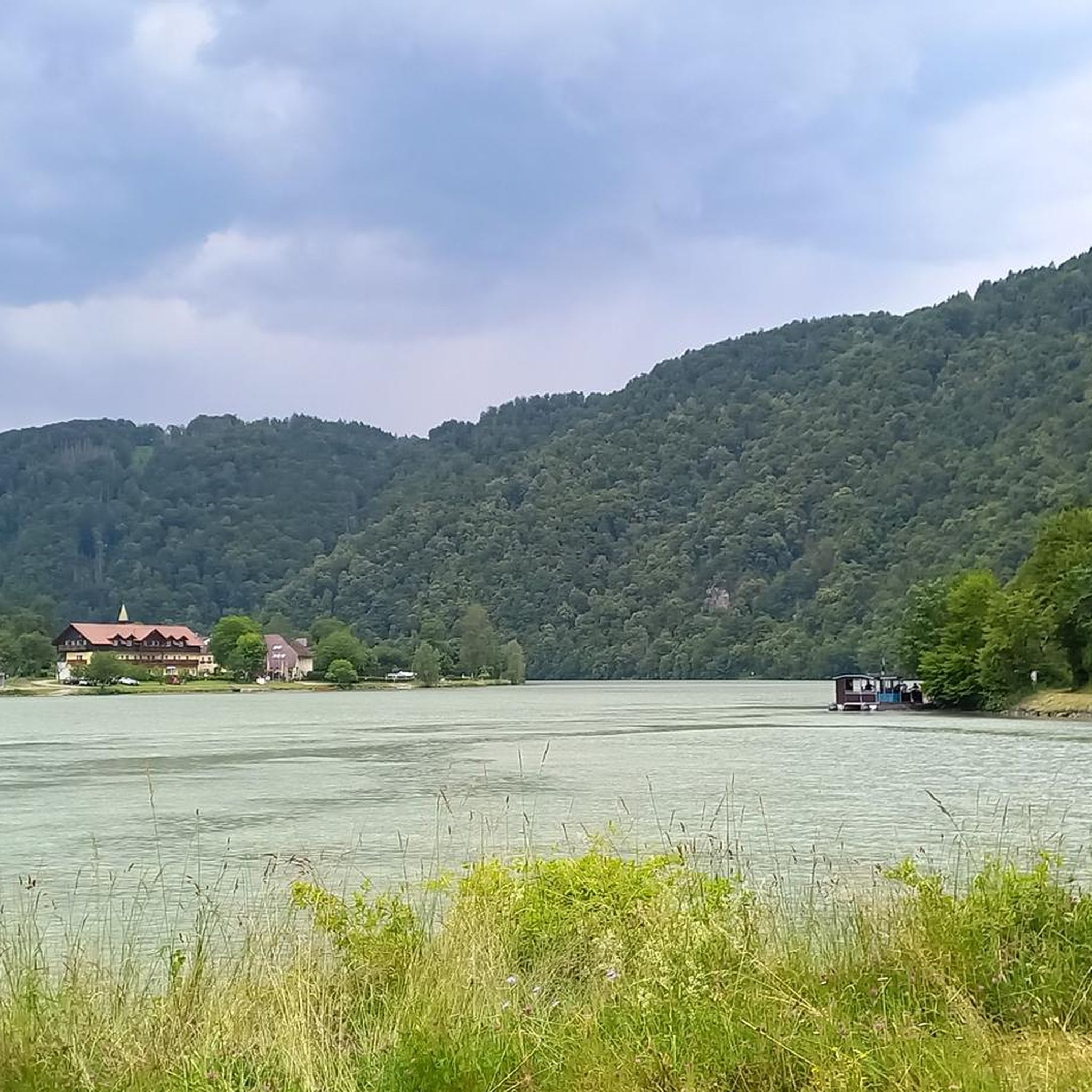
The Schlögener Schlinge is a river loop in the upper Danube valley in Upper Austria.
0
0

where the Danube bends so beautifully
0
0

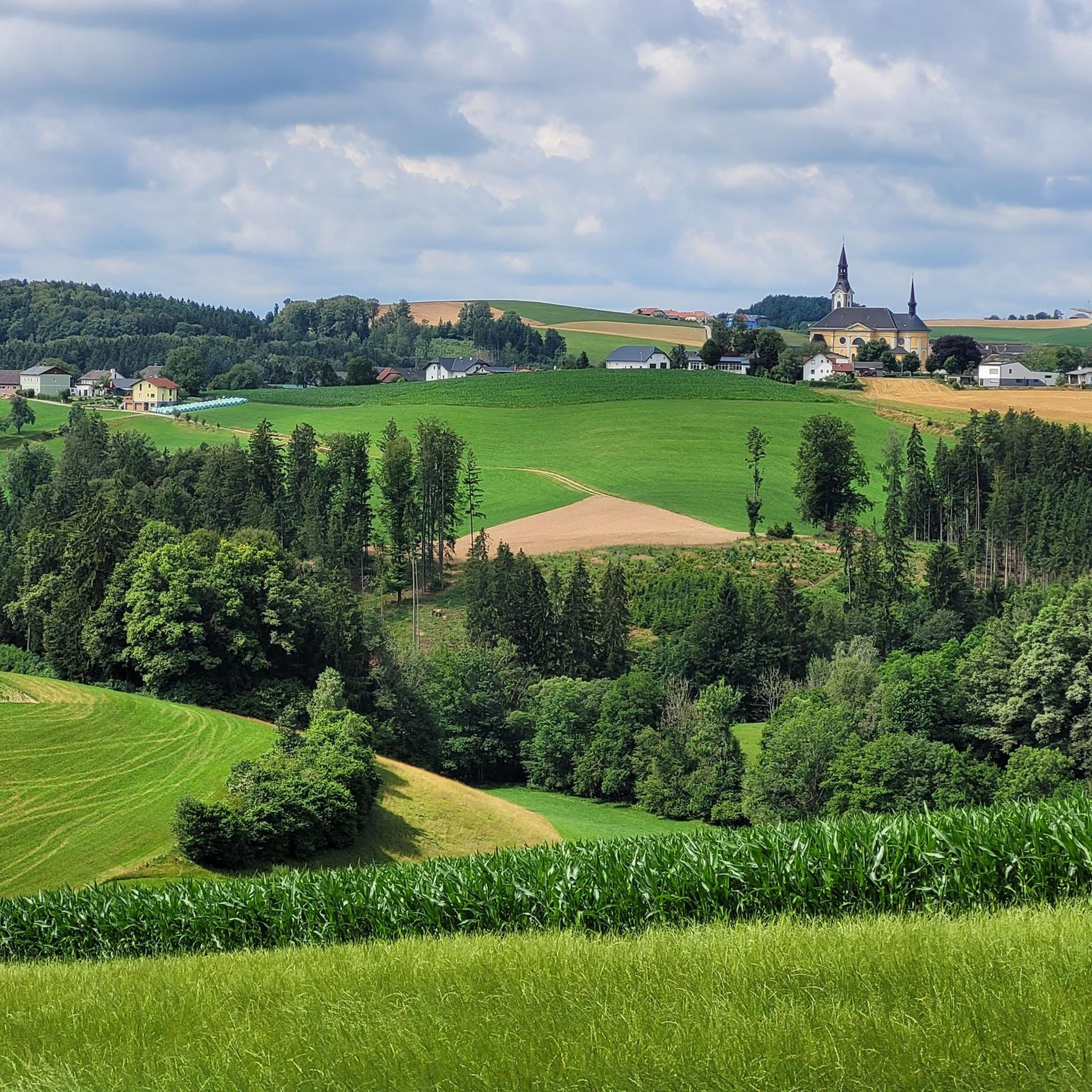
Niederkappel is a municipality in Upper Austria, in the Rohrbach district of the upper Mühlviertel region, with 996 inhabitants. The municipality lies within the Rohrbach judicial district.
0
0

Caution cyclists! There are 90 steps to climb. Not feasible for everyone with the heavy e-bikes.
5
0


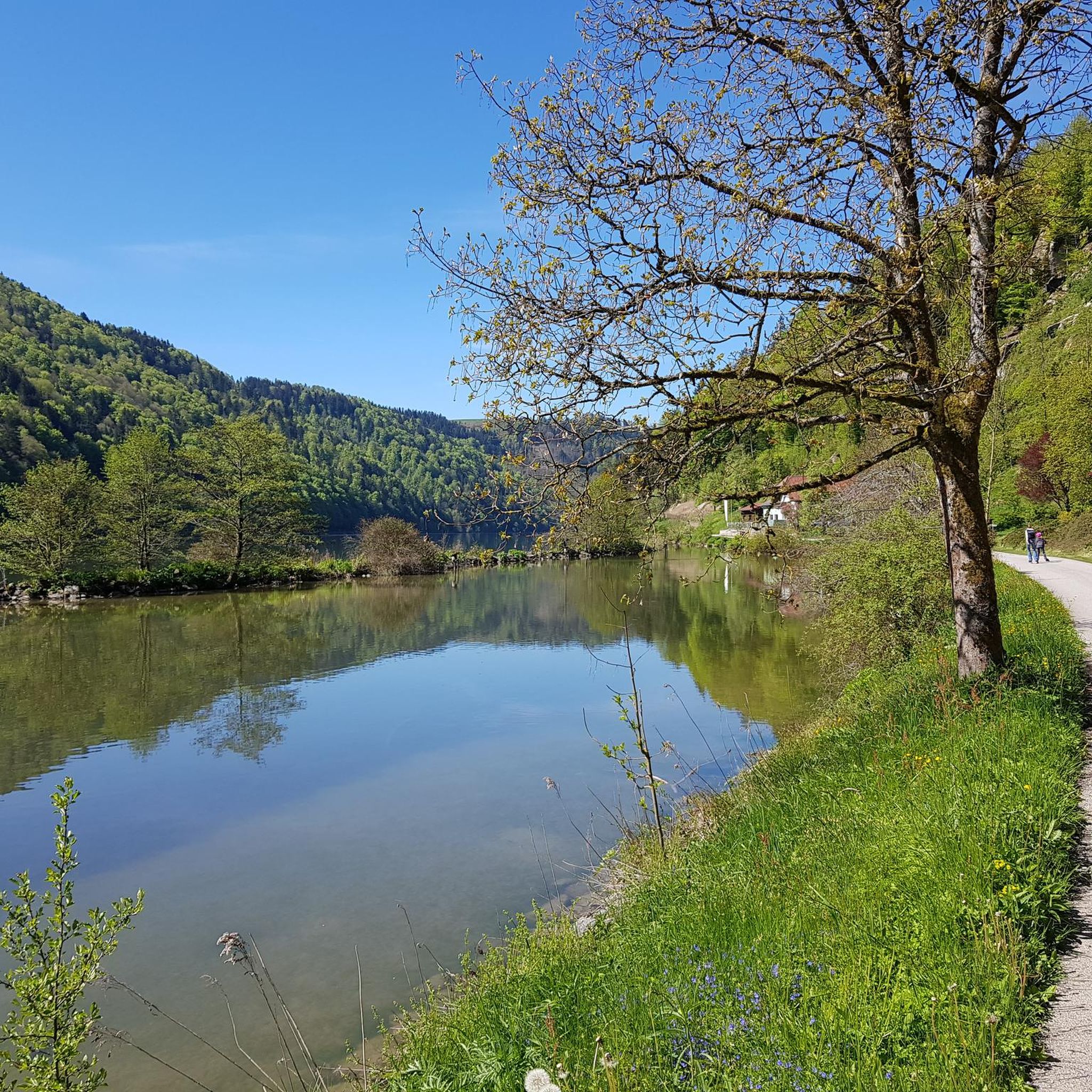
View of the Danube from Neuhaus Castle
2
0

Frequently Asked Questions
How many road cycling routes are available around Niederkappel?
There are over 170 road cycling routes around Niederkappel, offering a wide range of options for different skill levels and preferences.
What is the general difficulty level of road cycling routes in Niederkappel?
The road cycling routes in Niederkappel primarily feature moderate difficulty, with 106 moderate routes available. There are also 7 easy routes for beginners and 58 challenging routes for more experienced cyclists.
Are there any family-friendly road cycling routes in Niederkappel?
While specific 'family-friendly' designations are not always explicit for road cycling, the region offers several easy routes that might be suitable. These routes typically have less elevation gain and are shorter in distance, making them more accessible for families. Look for routes with lower difficulty ratings.
What kind of terrain can I expect on road cycling routes in Niederkappel?
Road cycling around Niederkappel is characterized by its proximity to the Danube River, offering routes along its banks and through the surrounding Mühlviertel region. You can expect rolling hills and valleys, with routes often passing through agricultural landscapes, small villages, and forested sections.
What are some scenic viewpoints or attractions along the road cycling routes?
Many routes offer scenic views, especially along the Danube. Notable attractions include the Schlögen Loop, a famous natural bend in the Danube. You can also find various observation towers and viewpoints such as the Ameisberg Tower and Penzenstein Viewpoint, which provide panoramic vistas of the region.
Are there loop road bike trails in Niederkappel?
Yes, many road cycling routes in Niederkappel are designed as loops, allowing you to start and end at the same point. Examples include the Marsbach Castle – Schlögen Loop and the Untermühl – Obermühl loop from Kirchberg ob der Donau.
What is the best time of year for road biking in Niederkappel?
The best time for road biking in Niederkappel is generally from spring to autumn, when the weather is mild and the landscapes are vibrant. Summer offers longer daylight hours, while spring and autumn provide pleasant temperatures and fewer crowds. Winter cycling is possible but may be affected by colder temperatures and potential snow or ice.
Are there any challenging road cycling routes for experienced riders?
Yes, Niederkappel offers 58 challenging road cycling routes. These routes typically feature significant elevation gains and longer distances, providing a good test for experienced riders. For example, the Neufelden Market Square – View of the Neufelden Reservoir loop includes over 880 meters of elevation gain.
What do other road cyclists enjoy most about road cycling in Niederkappel?
The area is highly rated by the komoot community, with an average score of 4.6 stars from over 170 reviews. Reviewers often praise the diverse terrain, scenic stretches along the Danube, and the variety of routes suitable for different ability levels.
Are there road bike trails with cafes or refreshment stops along the route?
Many routes in Niederkappel pass through small villages and towns where you can find cafes, restaurants, or local inns for refreshments. While specific cafes are not listed for every route, the presence of facilities like the Engelhartszell Bike and Pedestrian Ferry suggests areas with amenities catering to cyclists.
What are some longer road cycling routes in the Niederkappel area?
For longer rides, consider routes like the Marsbach Castle – Schlögen Loop, which covers 60.3 km, or the Obernzell on the Danube – View of Engelhartszell loop, spanning 48.3 km. These routes offer substantial distances and varied terrain.
Most popular routes around Niederkappel
Most popular attractions around Niederkappel

Get inspired with the komoot mobile app


Explore more
Browse the best Road cycling routes in other regions.
