The best mountain hikes around Großraming
4.7
(21)
436
hikers
14
hikes
Mountaineering routes around Großraming are situated within a region characterized by prominent summits and forested slopes, offering diverse terrain for alpine exploration. The landscape features a mix of challenging ascents to peaks like Burgspitz and Schieferstein, alongside paths leading to alpine huts. This area provides opportunities for experiencing significant elevation changes and panoramic views across the valleys. The region's geology supports a variety of trails, from moderate climbs to more demanding high-altitude paths.
Best mountaineering routes around Großraming
- The most…
Last updated: October 5, 2026
4.8
(4)
88
hikers
8.61km
04:04
720m
720m
Hard mountaineering route. Good fitness required. Sure-footedness, sturdy shoes and alpine experience required.
29
hikers
4.14km
02:03
470m
470m
Moderate mountaineering route. Good fitness required. Easily-accessible paths. Suitable for all skill levels.

51
hikers
4.17km
02:05
360m
360m
Hard mountaineering route. Good fitness required. Sure-footedness, sturdy shoes and alpine experience required.
21
hikers
13.5km
05:37
960m
960m
Hard mountaineering route. Very good fitness required. Sure-footedness, sturdy shoes and alpine experience required.
13
hikers
2.79km
01:22
200m
200m
Moderate mountaineering route. Great for any fitness level. Mostly accessible paths. Sure-footedness required.
Get access to more routes and recommendations from other explorers.
Already have an account?
Our route recommendations are based on thousands of hikes, rides, and runs completed by other people on komoot.
Start today with a free account
Your next adventure awaits.
Popular around Großraming
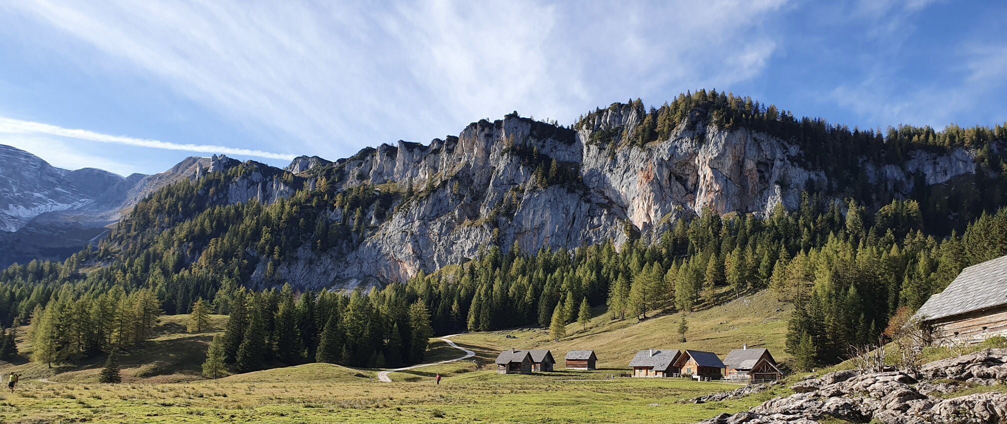
Austria's Kalkalpen Trail – Giant rocks & alpine meadows
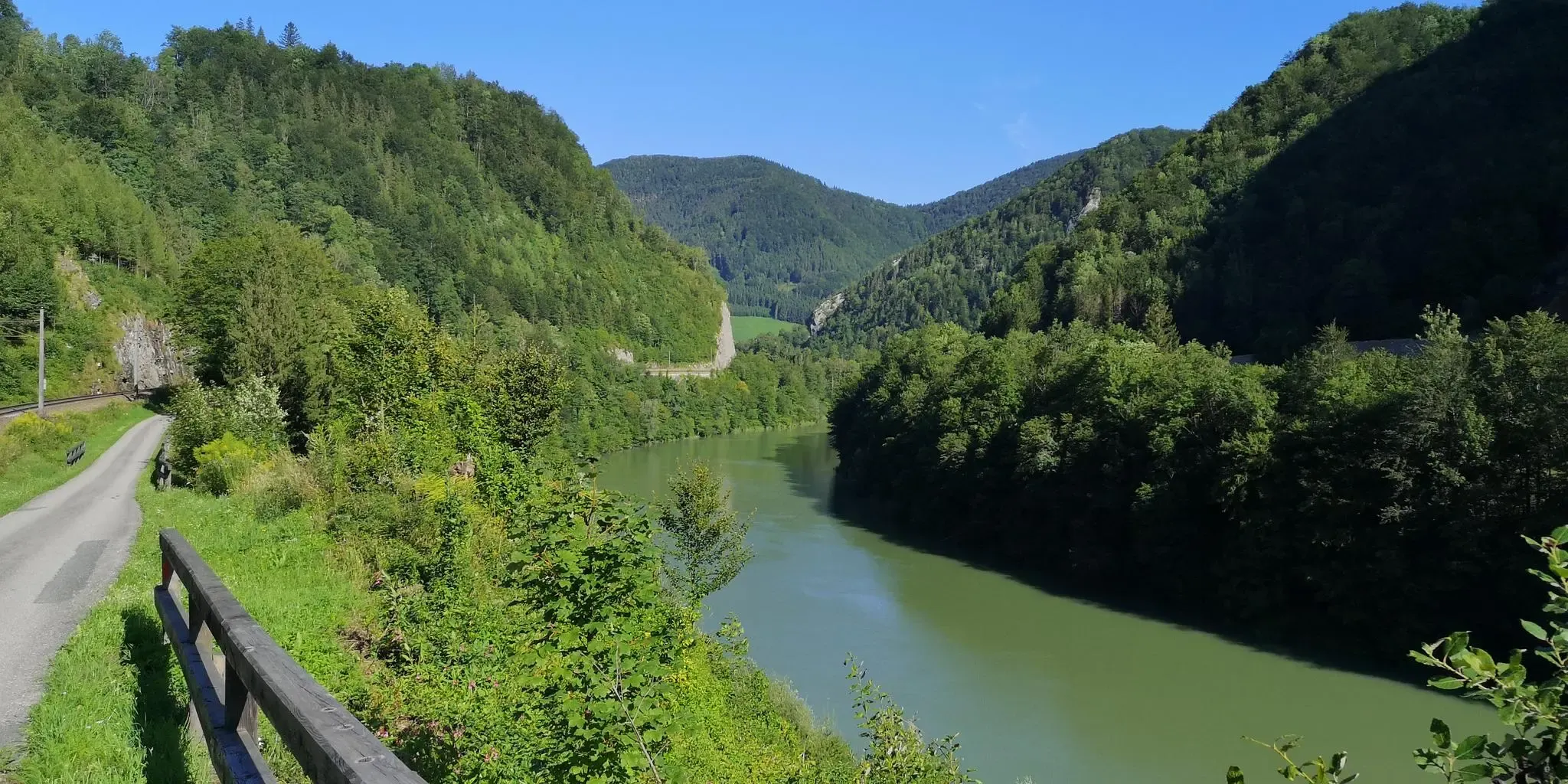
A pilgrimage in Austria’s Ennstal National Park – Sebaldusweg
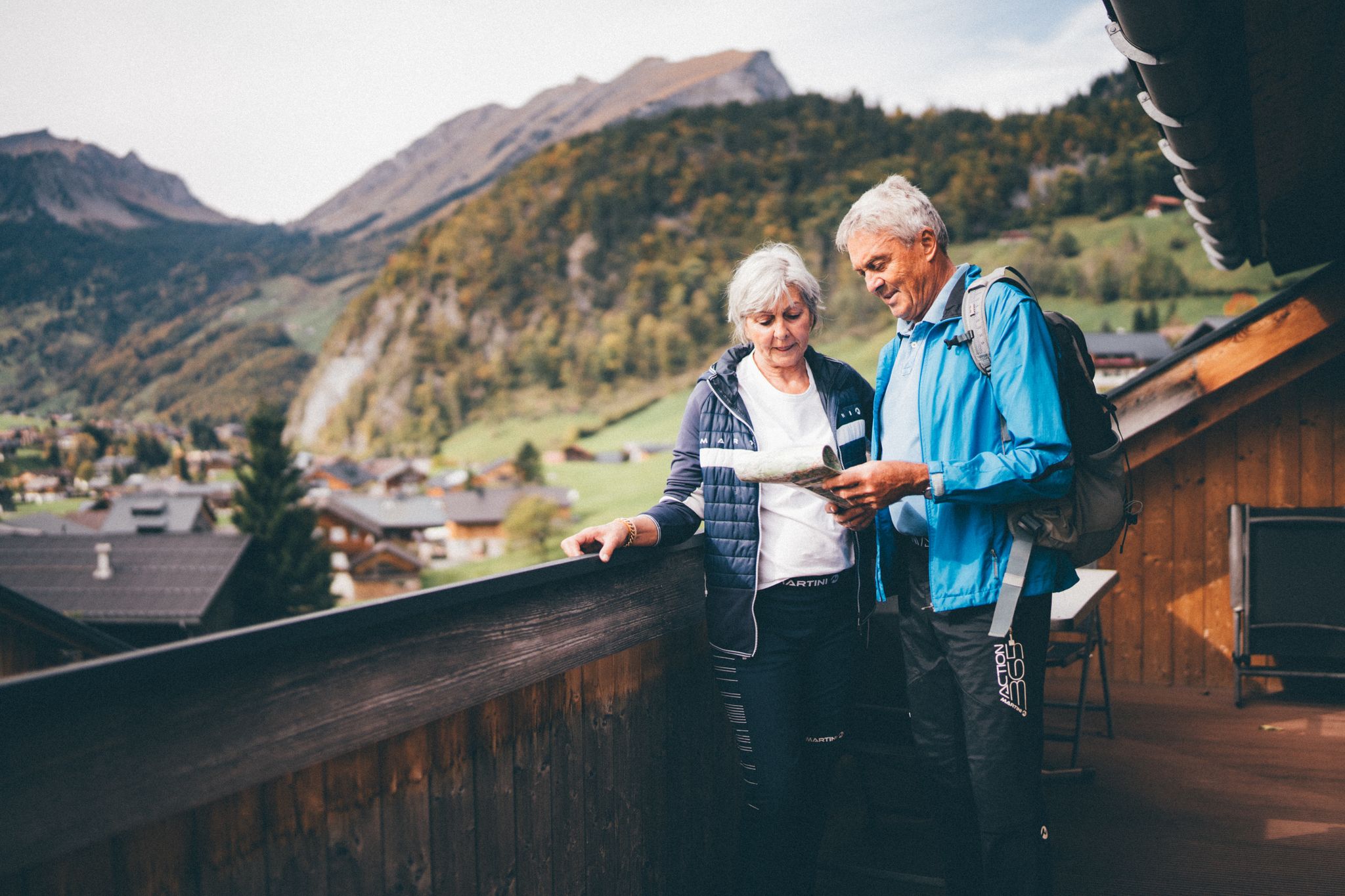
Natur erleben: Dein Wanderurlaub am Bauernhof
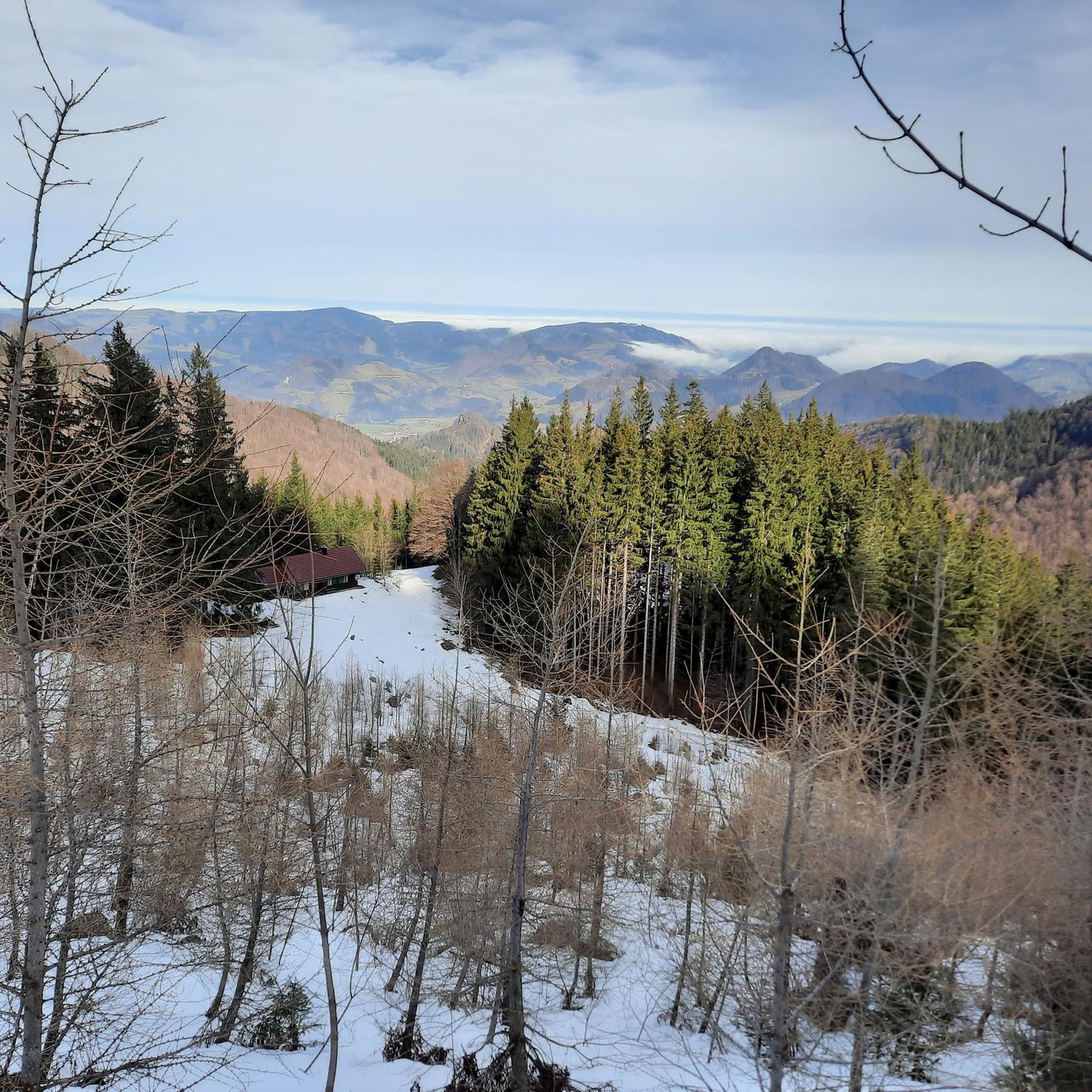
Hiking around Großraming
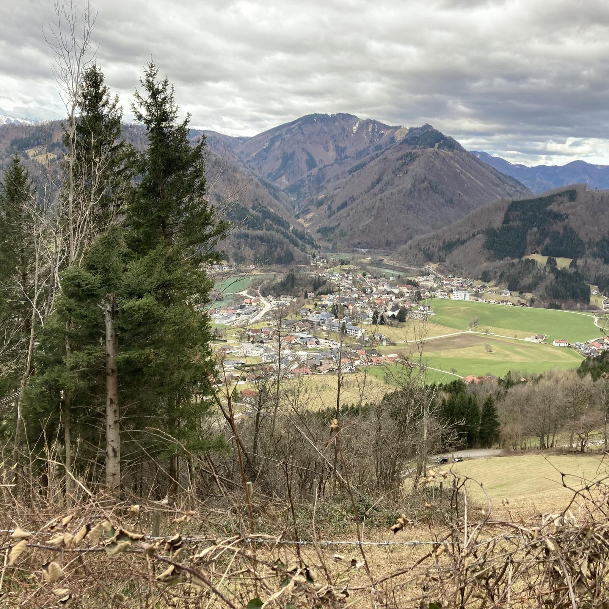
Cycling around Großraming
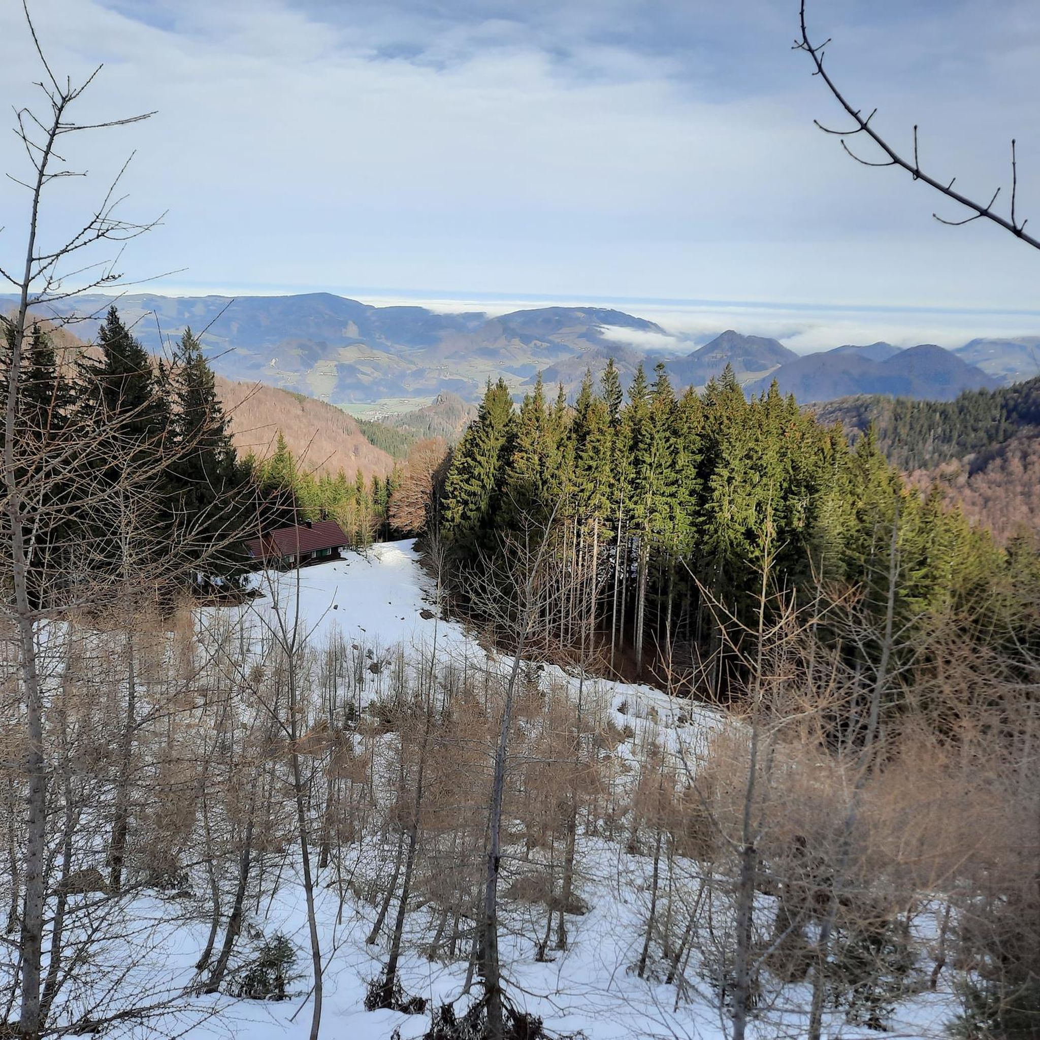
MTB Trails around Großraming
Gravel biking around Großraming
Road Cycling Routes around Großraming
Running Trails around Großraming
Other adventures around Großraming


Tips from the Community

From Kl. Almkogel, you can clearly see the Ennser Hütte under the rocks of Brunnbach.
0
0

The summit invites you to linger. 😊
0
0

Great panoramic view from the Ötscher to the Traunstein
1
1

Great view and not as many people as at Almkogel
0
0

A small handmade summit cross adorns the small Almkogel.
0
0
On a beautiful ridge path you reach the Brunnbacheck
0
0
Mountain Witches' Walpurgis Night at the Ennserhütte
0
1
Frequently Asked Questions
How many mountaineering routes are available around Großraming?
There are over 10 distinct mountaineering routes around Großraming, offering a variety of experiences from moderate climbs to challenging ascents. In total, the komoot community has explored 14 routes in the area.
Are there any easy or beginner-friendly mountaineering routes in Großraming?
Yes, while many routes are moderate to difficult, there is at least one easy mountaineering route available. For those looking for a slightly more challenging but still accessible option, the Ennserhütte Summit Cross – Almkogel Summit loop from Parkplatz Bamacher is a moderate trail featuring varied terrain and rewarding views.
What are some challenging mountaineering routes in the Großraming area?
For experienced mountaineers, Großraming offers several challenging routes. The Burgspitz Summit – Ennserhütte Summit Cross loop from Parkplatz Bamacher is a difficult 5.5-mile trail with significant elevation gain. Another demanding option is the Schieferstein 1206 m loop from Reichraming, which leads to the prominent Schieferstein peak.
Are there any circular mountaineering routes around Großraming?
Yes, many of the mountaineering routes in Großraming are designed as loops. Examples include the challenging Burgspitz Summit – Ennserhütte Summit Cross loop from Parkplatz Bamacher and the moderate Ennserhütte Summit Cross – Almkogel Summit loop from Parkplatz Bamacher, both offering a complete circuit back to the starting point.
What kind of natural attractions can I see along the mountaineering routes?
The Großraming region is rich in natural beauty. Along the routes, you might encounter impressive summits like Lindaumauer Summit and Wasserklotz Summit. You can also discover the picturesque Schleierfall Waterfall, adding a scenic highlight to your tour.
Are there any huts or places to rest along the trails?
Yes, the area around Großraming features several alpine huts where you can rest and refuel. Notable huts include Anlaufalm, Ebenforstalm, and Anton Schosser Hut, which are popular stops for mountaineers.
What do other mountaineers enjoy most about the routes in Großraming?
The mountaineering routes in Großraming are highly rated by the komoot community, with an average score of 4.6 stars from over 29 reviews. Mountaineers often praise the diverse terrain, the challenging ascents to prominent summits, and the rewarding panoramic views across the valleys.
What is the typical duration for mountaineering routes in Großraming?
The duration of routes varies significantly depending on difficulty and length. For example, the moderate Ennserhütte Summit Cross – Almkogel Summit loop from Parkplatz Bamacher typically takes around 3 hours 20 minutes, while the more demanding Burgspitz Summit – Ennserhütte Summit Cross loop from Schmollngruber can take over 5 hours 30 minutes.
Are there any routes suitable for families with children?
While many routes are geared towards experienced mountaineers, families looking for a shorter, less strenuous option might consider the Ennserhütte Summit Cross – Almkogel Summit loop from Brunnbacheck. This moderate route is shorter, taking approximately 1 hour 20 minutes, making it more manageable for families with some hiking experience.
What are the parking options for mountaineering routes in Großraming?
Many routes, such as the Burgspitz Summit – Ennserhütte Summit Cross loop and the Ennserhütte Summit Cross – Almkogel Summit loop, start from designated parking areas like Parkplatz Bamacher, offering convenient access for mountaineers.
What kind of wildlife might I encounter while mountaineering in Großraming?
The forested slopes and alpine terrain around Großraming are home to diverse wildlife. Keep an eye out for local fauna such as chamois, deer, and various bird species. The region is part of a larger natural area, so observing wildlife in its natural habitat is a common experience.
When is the best time of year for mountaineering in Großraming?
The best time for mountaineering in Großraming is typically from late spring to early autumn (May to October), when the weather is generally stable, and trails are free of snow. Always check local weather forecasts and trail conditions before heading out, especially for higher elevations.
Most popular routes around Großraming
Most popular attractions around Großraming

Get inspired with the komoot mobile app


Explore more
Browse the best Mountain Hikes & Routes in other regions.
