The best mountain hikes around Fügenberg
4.8
(22)
259
hikers
16
hikes
Mountaineering routes around Fügenberg traverse a diverse alpine landscape nestled between the Zillertal and Inntal valleys in Tyrol, Austria. The region is characterized by dense forests, lush meadows, and majestic mountain peaks such as the Gilfert (2,506 meters) and Rastkogel (2,762 meters). Part of the Zillertal Alps, the area features alpine pastures, glaciers, and waterfalls, providing varied terrain for mountaineering.
Best mountaineering routes around Fügenberg
- The most popular mountaineering route is View of Roßkopf from Sidanjoch – Roßkopf Summit (2,576…
Last updated: August 31, 2026
4.5
(2)
45
hikers
17.9km
07:04
1,100m
1,100m
Hard mountaineering route. Very good fitness required. Mostly accessible paths. Sure-footedness required.
5.0
(1)
26
hikers
14.7km
06:07
1,000m
1,000m
Hard mountaineering route. Very good fitness required. Sure-footedness, sturdy shoes and alpine experience required.

Sign up for free
5.0
(1)
35
hikers
14.4km
05:11
870m
870m
Hard mountaineering route. Very good fitness required. Mostly accessible paths. Sure-footedness required.
4.0
(2)
28
hikers
11.2km
04:06
630m
630m
Moderate mountaineering route. Good fitness required. Mostly accessible paths. Sure-footedness required.
5.0
(1)
24
hikers
15.8km
05:33
930m
930m
Hard mountaineering route. Very good fitness required. Easily-accessible paths. Suitable for all skill levels.
Get access to more routes and recommendations from other explorers.
Sign up for free
Already have an account?
Our route recommendations are based on thousands of hikes, rides, and runs completed by other people on komoot.
Start today with a free account
Your next adventure awaits.
Login or Signup
Popular around Fügenberg
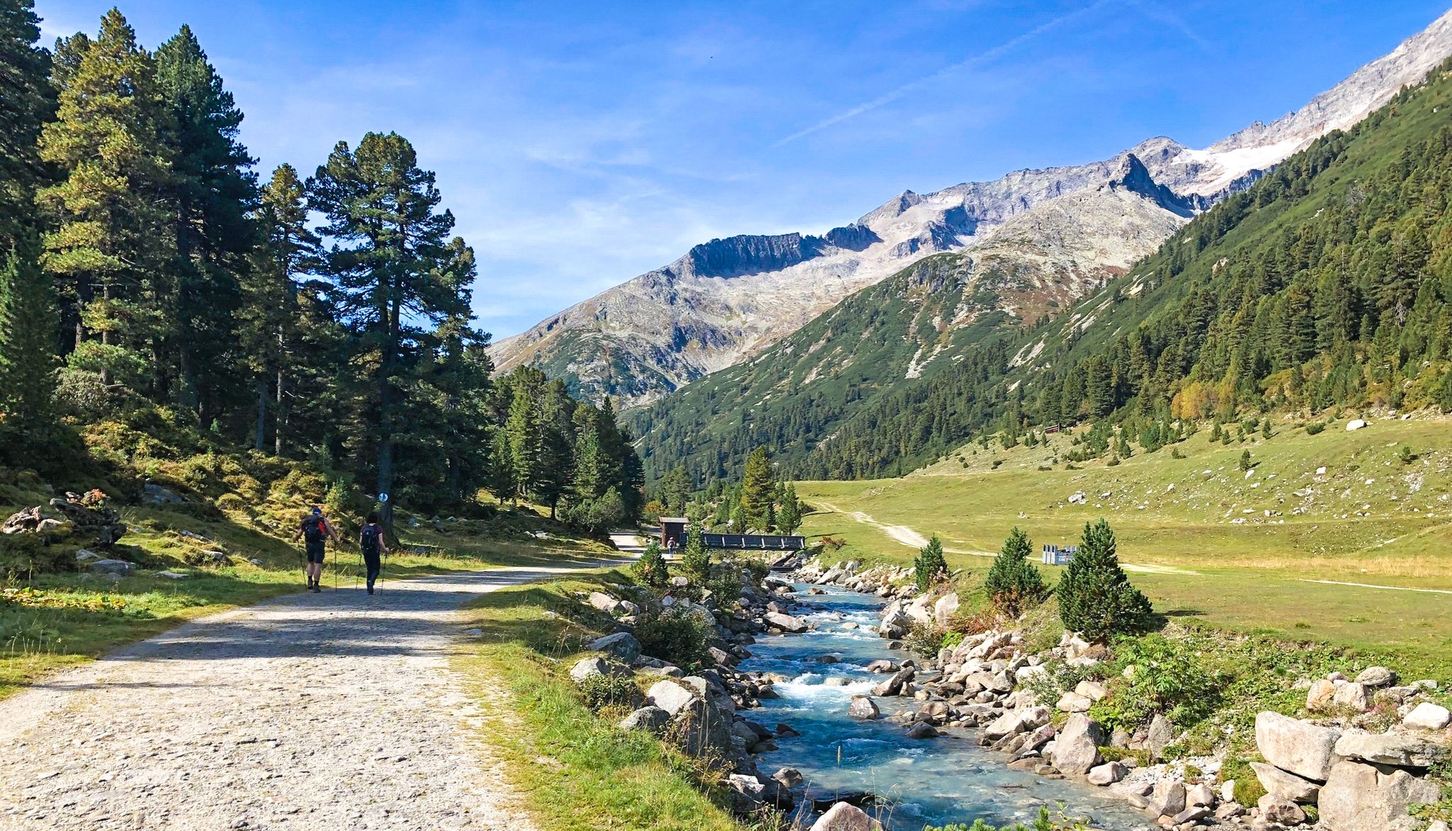
Alpine crossing for pleasure hikers – 7 stages from Lake Tegernsee to Sterzing
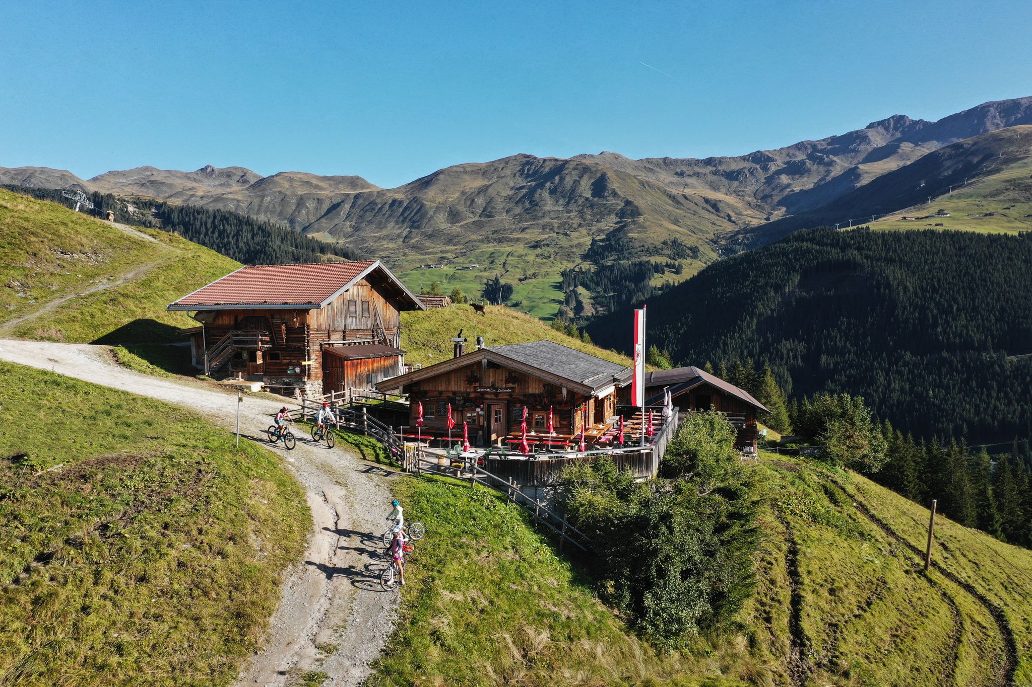
Hut hiking fun in Zillertal
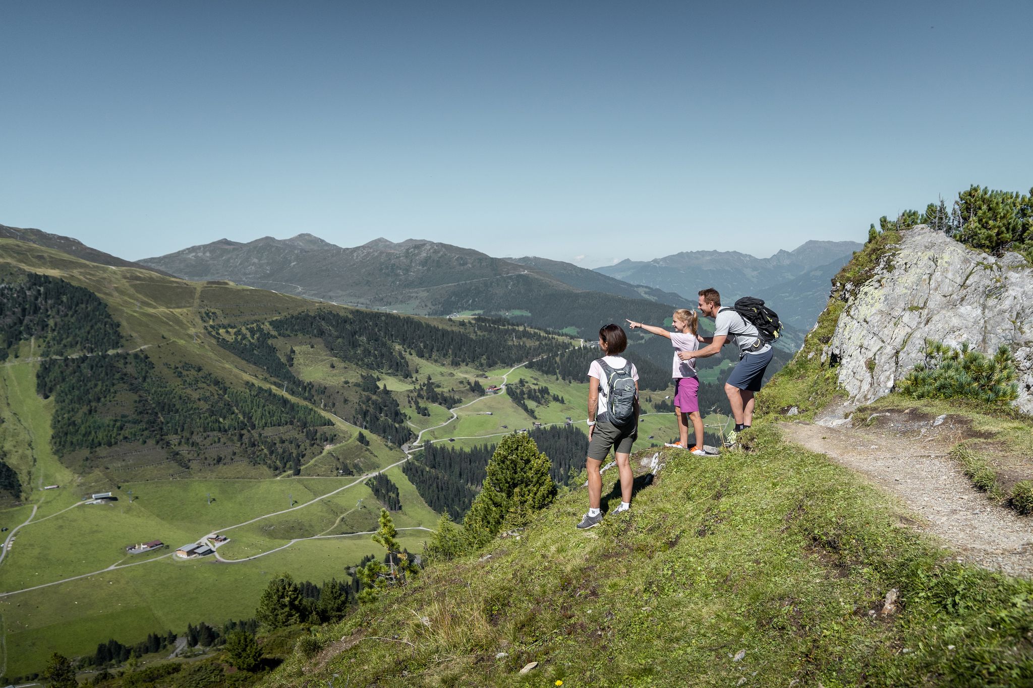
Don’t rush – easy hikes in the Zillertal
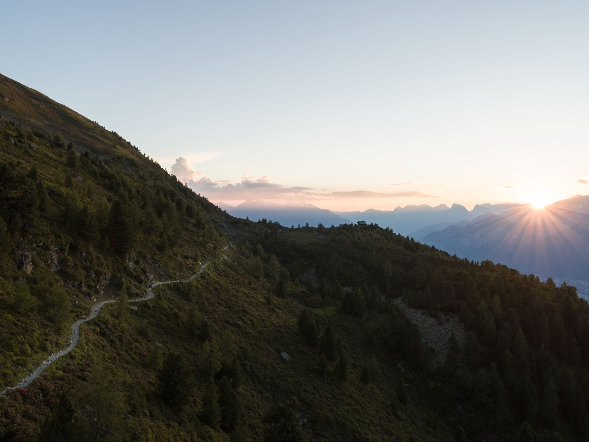
Six stages on the Inntaler High Trail – Great Walks
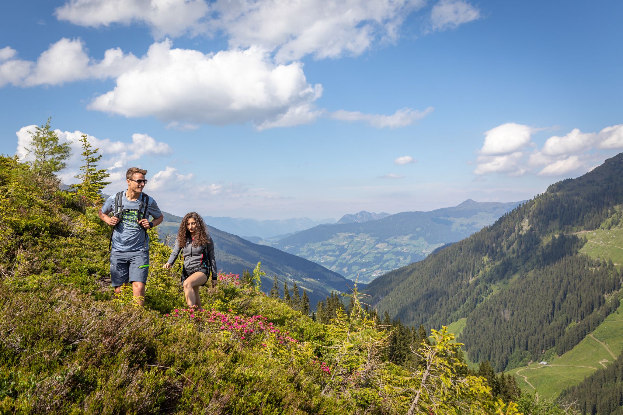
15 hikes in Austria’s Zillertal Valley – exploring the Fügen-Kaltenbach region
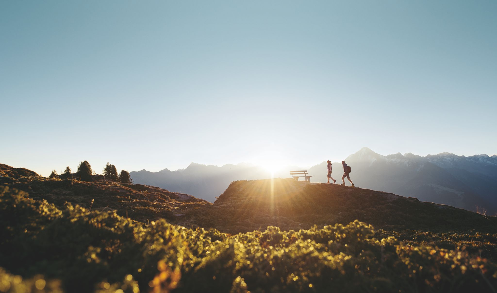
Discover the Zillertal Valley in Austria on eight varied walks
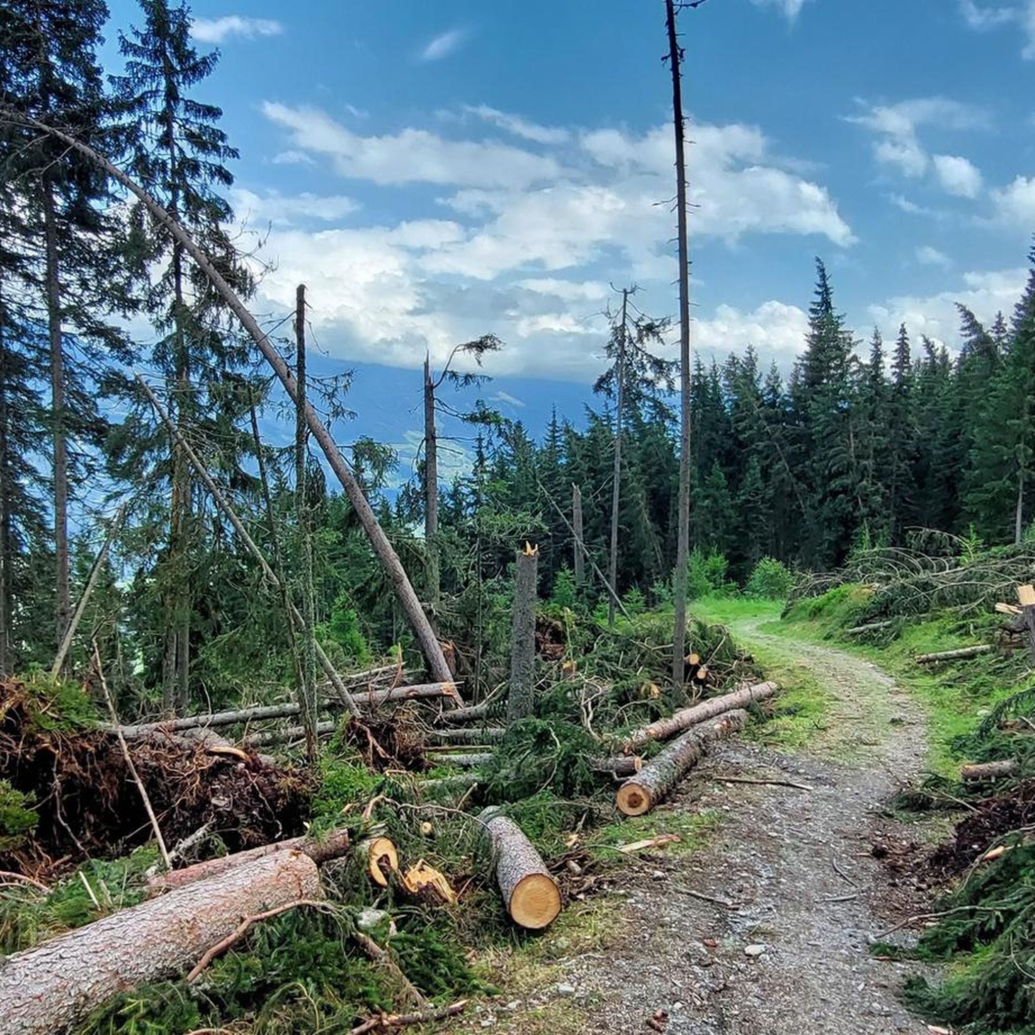
Hiking around Fügenberg
MTB Trails around Fügenberg
Cycling around Fügenberg
Road Cycling Routes around Fügenberg
Other adventures around Fügenberg


Tips from the Community

You simply have to stop here for refreshments.
5
0

Here are old farm and stable for the cows or other animals. However, they are busy making a new farm and installing electricity and sewage.
0
0

From here a narrow path leads to a small but beautiful wooden chapel.
14
0
Beautiful rest area with a small pond, water wheel, wooden bridge and wayside cross.
15
0
The Holzalm on the Holzalmbach is beautifully situated.
16
0
Beautiful bridge over the Finsingbach.
15
0
The Pfundsalm-Niederleger is located at 1640m.
14
0
Frequently Asked Questions
What is the overall difficulty level of mountaineering routes in Fügenberg?
Fügenberg offers a diverse range of mountaineering routes suitable for various skill levels. While there are 10 challenging routes for experienced mountaineers, you can also find 4 moderate and 2 easier options, making it accessible for different abilities. The region is known for its varied terrain, from gentle ascents to demanding alpine expeditions.
Are there options for beginners or less experienced mountaineers in Fügenberg?
Yes, Fügenberg provides several accessible options for beginners or those seeking a less strenuous experience. The Spieljochbahn cable car offers convenient access to higher altitudes, serving as an ideal starting point for numerous hikes without extensive climbing. The Panorama Trail around Fügenberg is also a more leisurely option, perfect for families or those new to mountaineering.
What kind of challenges can advanced mountaineers expect in Fügenberg?
Advanced mountaineers will find plenty of challenging routes in Fügenberg, with 10 difficult tours available. Routes to summits like the Gilfert (2,506 meters) and Rastkogel (2,762 meters) require good physical condition and alpine experience. For instance, the demanding St. Michael Chapel – Großer Gilfert loop from Hochfügen involves significant elevation gain and offers expansive alpine vistas.
Are there family-friendly mountaineering routes or activities in Fügenberg?
Absolutely! Fügenberg is a great destination for families. Beyond the easier trails, the Spieljochbahn Adventure Park on the Spieljoch mountain offers a barefoot trail, an interactive hiking adventure, a water park, and climbing walls, providing playful elements for all ages. The Panorama Trail is also a good option for a leisurely family walk.
Can I bring my dog on mountaineering routes in Fügenberg?
Generally, dogs are welcome on most mountaineering trails in Fügenberg, provided they are kept on a leash, especially in alpine pastures where livestock may be present. It's always a good idea to carry water for your dog and be mindful of other hikers and wildlife.
Are there circular mountaineering routes available in Fügenberg?
Yes, many of the mountaineering routes in Fügenberg are designed as circular tours, allowing you to start and end at the same point. An example is the View of Roßkopf from Sidanjoch – Roßkopf Summit (2,576 m) loop from Hochfügen, which offers panoramic views from the summit.
What are some notable natural attractions or landmarks to see along the routes?
Fügenberg is rich in natural beauty. You can explore the dramatic Wolf Gorge with its wild rock formations and roaring mountain stream. Other highlights include the majestic mountain peaks like Gilfert and Rastkogel, and the serene Lake Schlitters nestled amidst the alpine scenery. Many routes also feature alpine pastures and dense forests.
Are there mountain huts or places to rest and eat along the trails?
Yes, Fügenberg's extensive trail network includes several mountain huts where you can rest and enjoy local cuisine. Notable examples mentioned in the region research include the Kellerjochhütte and Rastkogel Hut, providing welcome breaks during longer tours.
What do other mountaineers enjoy most about Fügenberg?
The mountaineering routes in Fügenberg are highly rated by the komoot community, with an average score of 4.9 stars from around 20 reviews. Reviewers often praise the diverse landscapes, the unspoiled nature, and the spectacular panoramic views from the mountain peaks.
What is a good moderate mountaineering route in Fügenberg?
For a moderate challenge, consider the Pfundsalm Niederleger – View of Roßkopf from Sidanjoch loop from Hochfügen. This route covers about 11.2 miles (18 km) with a manageable elevation gain, offering beautiful views without the intensity of the most difficult summits.
Are there any routes that pass by unique natural features like wooden bridges or streams?
Yes, some routes offer charming natural features. The Wooden Bridge Over Stream – Pfundsalm Niederleger loop from Hochfügen is a great example, leading through alpine pastures and past a picturesque wooden bridge over a mountain stream, making for a scenic and enjoyable hike.
Most popular routes around Fügenberg
Most popular attractions around Fügenberg

Get inspired with the komoot mobile app


Explore more
Browse the best Mountain Hikes & Routes in other regions.
