The best hikes from bus stations around Fügenberg
4.6
(5368)
23,074
hikers
52
hikes
Bus station hiking trails around Fügenberg are located in Tyrol, Austria, nestled between the Zillertal and Inntal valleys. The region features a diverse alpine landscape with prominent peaks like Gilfert (2,506 meters) and Kellerjoch (2,344 meters). Its terrain includes lush meadows, dense forests, and extensive alpine pastures, alongside the narrow Öxltal and Finsingtal valleys. This varied elevation offers routes from gentle slopes to rugged mountain paths.
Best bus station hiking trails around Fügenberg
- The most popular bus station hiking route…
Last updated: August 20, 2026
4.8
(33)
192
hikers
14.4km
06:15
1,010m
1,010m
Hard hike. Very good fitness required. Sure-footedness, sturdy shoes and alpine experience required.
4.6
(40)
179
hikers
12.5km
04:46
780m
780m
Moderate hike. Good fitness required. Mostly accessible paths. Sure-footedness required.

Sign up for free
4.6
(39)
155
hikers
5.43km
01:40
200m
200m
Easy hike. Great for any fitness level. Easily-accessible paths. Suitable for all skill levels.
4.6
(39)
175
hikers
6.49km
02:01
260m
260m
Moderate hike. Good fitness required. Easily-accessible paths. Suitable for all skill levels.
5.0
(24)
130
hikers
14.2km
05:12
740m
740m
Hard hike. Very good fitness required. Mostly accessible paths. Sure-footedness required.
Get access to more routes and recommendations from other explorers.
Sign up for free
Already have an account?
Our route recommendations are based on thousands of hikes, rides, and runs completed by other people on komoot.
Start today with a free account
Your next adventure awaits.
Login or Signup
Popular around Fügenberg
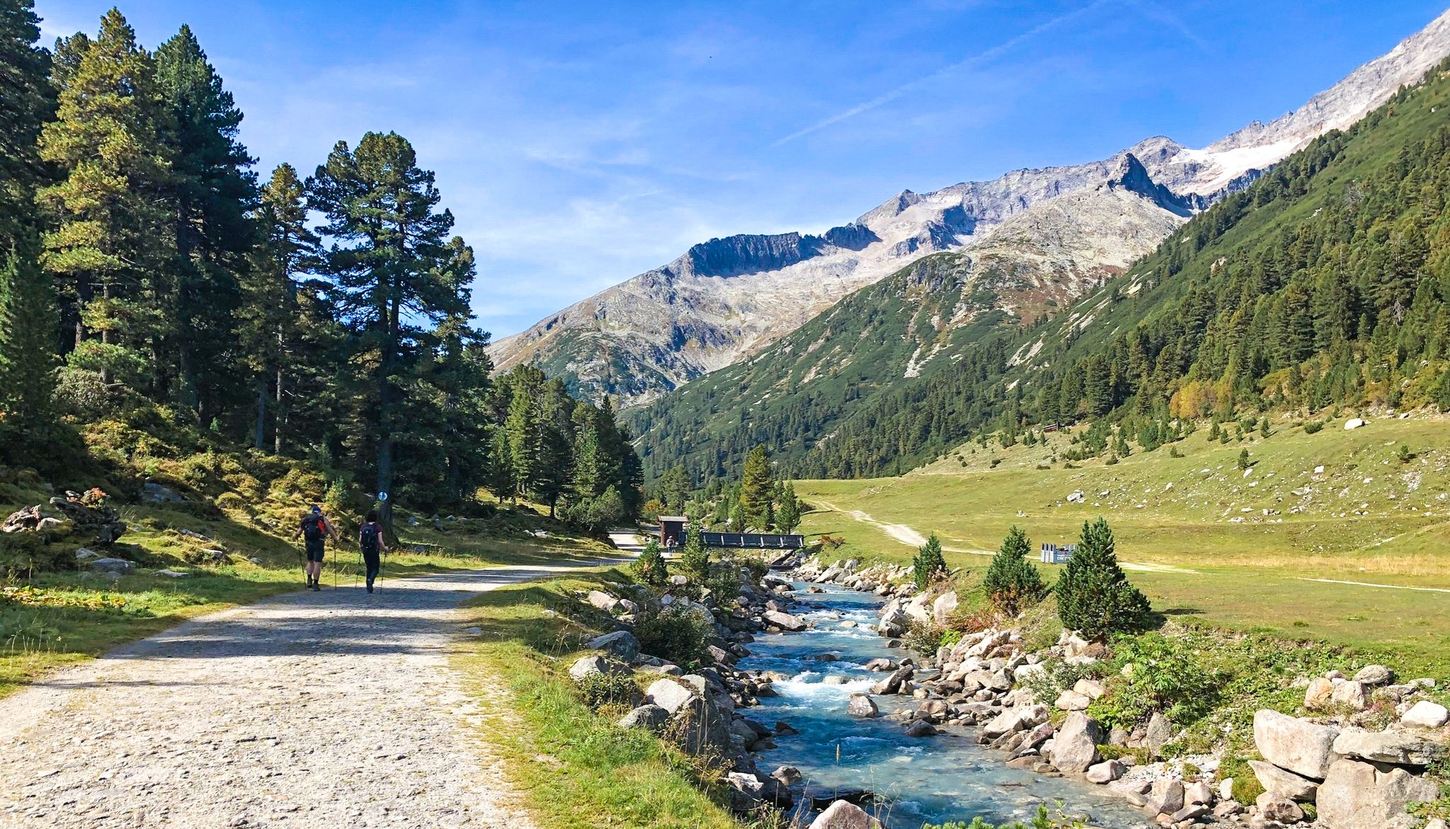
Alpine crossing for pleasure hikers – 7 stages from Lake Tegernsee to Sterzing
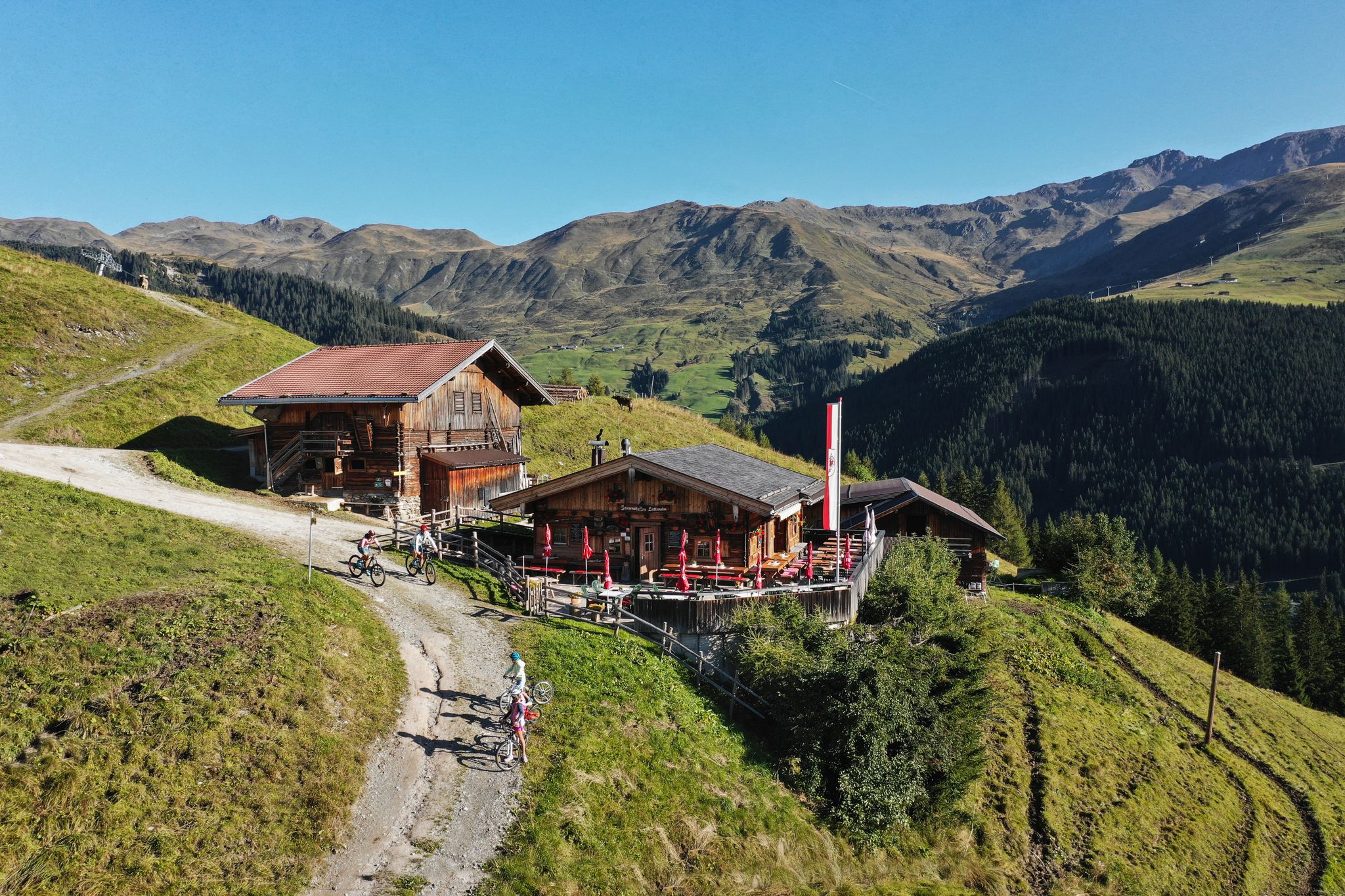
Hut hiking fun in Zillertal
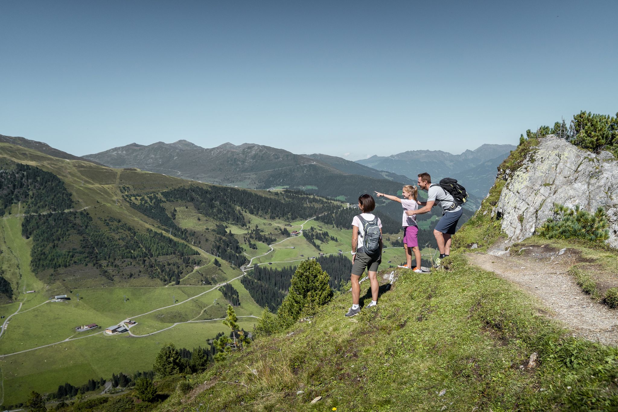
Don’t rush – easy hikes in the Zillertal
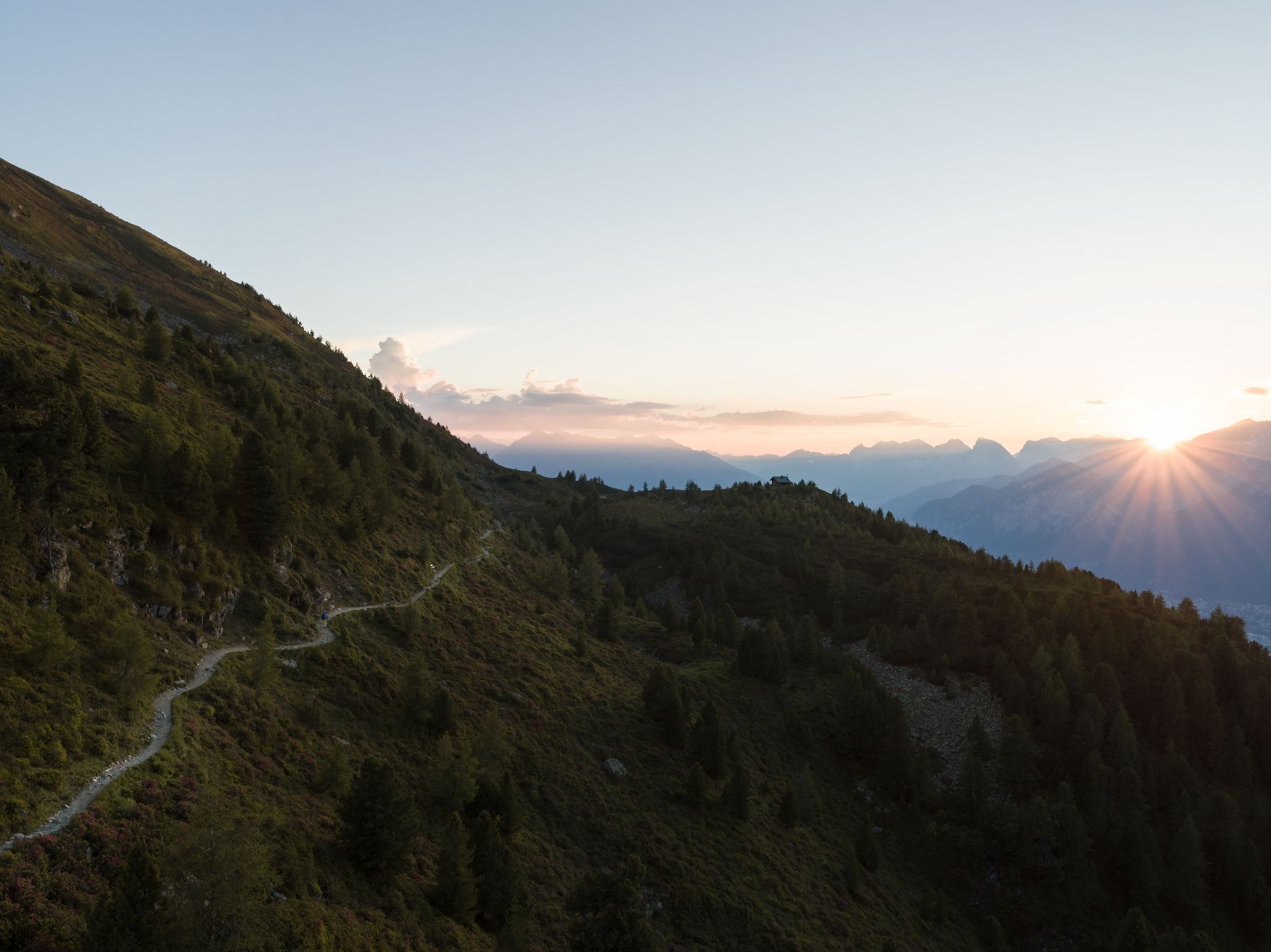
Six stages on the Inntaler High Trail – Great Walks
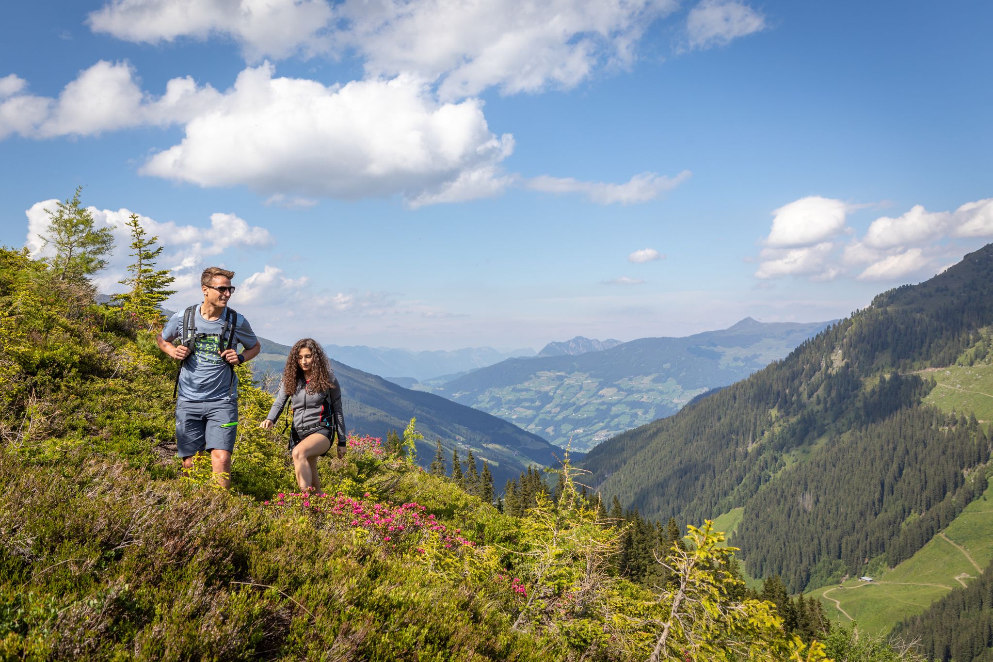
15 hikes in Austria’s Zillertal Valley – exploring the Fügen-Kaltenbach region
Discover the Zillertal Valley in Austria on eight varied walks
Other adventures around Fügenberg


Tips from the Community

Here are old farm and stable for the cows or other animals. However, they are busy making a new farm and installing electricity and sewage.
0
0

The highlight is called "View of Kühtai" and many hikers like it, but I think this is the "View of Hochfügen"... (Kühtai is actually 60km further west.)
1
0

Beautiful bridge over the Maschentalbach
0
0

Very nice hiking trail
0
0

The Holzalm on the Holzalmbach is beautifully situated.
16
0
Beautiful wooden bridge over the Viertelbach.
15
0
The Pfundsalm-Niederleger is located at 1640m.
14
0
Frequently Asked Questions
How many hiking trails are accessible directly from bus stations in Fügenberg?
Fügenberg offers a wide selection of routes directly accessible by bus. There are over 50 hiking trails that start conveniently from bus stops, catering to various skill levels and preferences.
What makes Fügenberg a good destination for bus-accessible hiking?
Fügenberg, nestled between the Zillertal and Inntal valleys, provides an exceptional natural landscape with diverse terrain, from lush meadows to majestic mountain peaks. Its extensive and well-maintained trail network, combined with excellent public transport links, makes it ideal for hikers looking to explore without a car.
Are there easy hiking trails from bus stops suitable for beginners in Fügenberg?
Yes, Fügenberg has several easy routes perfect for beginners or those seeking a leisurely stroll. For example, the Huberwinkelalm – Hochfügen loop from Hochfügen is an easy option, offering gentle slopes and pleasant scenery.
Can I find challenging hikes accessible by bus in Fügenberg?
Absolutely. For experienced hikers, Fügenberg offers demanding alpine expeditions directly from bus stops. Routes like the View of Hochfügen – Gilfert loop from Hochfügen provide significant elevation gain and panoramic views of the Zillertal Alps.
Are there any circular hiking routes available from bus stations?
Yes, many trails in Fügenberg are designed as circular routes, allowing you to start and end your hike at the same bus stop. The View of Hochfügen – Loas Alpine Guesthouse loop from Hochfügen is a popular moderate circular option.
What natural features or landmarks can I expect to see on these bus-accessible trails?
The trails around Fügenberg offer stunning natural beauty. You can encounter roaring mountain streams and emerald green water in the Wolf Gorge, or enjoy views of majestic peaks like the Gilfert and Rastkogel. Some routes, like the Hochfügen – Kleines Wildwasser Waterfall loop from Hochfügen, even lead to beautiful waterfalls. You might also pass by traditional alpine pastures such as Geolsalm and Pfundsalm.
Are there any trails that lead to viewpoints or mountain summits from bus stops?
Yes, many routes provide access to incredible viewpoints and summits. For instance, the View of Hochfügen – Sonntagsköpfl Summit loop from Hochfügen offers rewarding views. You can also reach higher starting points via cable cars, like the Spieljochbahn, which are often accessible by bus, to embark on hikes towards summits like Spieljoch Summit or Rastkogel Summit.
Are the bus-accessible hiking trails in Fügenberg suitable for families?
Fügenberg is very family-friendly. Many trails are well-marked and offer gentle terrain, such as the Panorama Trail around Fügenberg. The Spieljoch Adventure Mountain, accessible by cable car (which connects to bus routes), also offers playful elements like a barefoot trail and water park, enhancing the family hiking experience.
Can I bring my dog on these hiking trails?
Generally, dogs are welcome on most hiking trails in Fügenberg. However, it's always advisable to keep them on a leash, especially in areas with livestock or wildlife. Please check specific trail regulations for any restrictions.
Are there mountain huts or places to stop for refreshments along the bus-accessible routes?
Yes, Fügenberg's hiking network includes numerous mountain huts and snack stations. Places like the Geolsalm and Rastkogel Hut provide inviting spots for rest and refreshments, often serving traditional Tyrolean cuisine, making your hike even more enjoyable.
What do other hikers enjoy the most about hiking in Fügenberg?
The komoot community highly rates the Fügenberg region, with an average score of 4.6 stars. Reviewers often praise the diverse and impressive natural landscape, the well-maintained trail networks suitable for all levels, and the stunning panoramic views from the mountain peaks.
Most popular routes around Fügenberg
Most popular attractions around Fügenberg

Get inspired with the komoot mobile app


Explore more
Browse the best Hikes in other regions.
