The best mountain hikes around Strengen
4.8
(47)
362
hikers
21
hikes
Mountaineering around Strengen offers access to the high alpine environment of the Tiroler Oberland. The region is characterized by rugged peaks, deep valleys, and challenging ascents, providing a demanding landscape for experienced mountaineers. Elevation changes are significant, with routes often leading to exposed ridges and high-altitude huts. The terrain primarily consists of rocky paths and alpine meadows, typical of the Central Eastern Alps.
Best mountaineering routes around Strengen
- The most popular mountaineering route is Augsburger Hut – Patrolscharte loop from Grins, a 7.1 miles (11.4 km) trail that takes 7 hours 47 minutes to complete, featuring a challenging ascent to a high alpine pass.
- Another top favourite among local mountaineers is Augsburger Hut loop from Grins, a moderate 4.7 miles (7.6 km) path. This route features significant elevation gain through alpine terrain, leading to a well-known mountain hut.
- Local mountaineers also love the Memminger Hut – View from Memminger Hut loop from Memminger Hütte, a 1.0 mile (1.7 km) trail leading through high alpine surroundings, often completed in about 49 minutes.
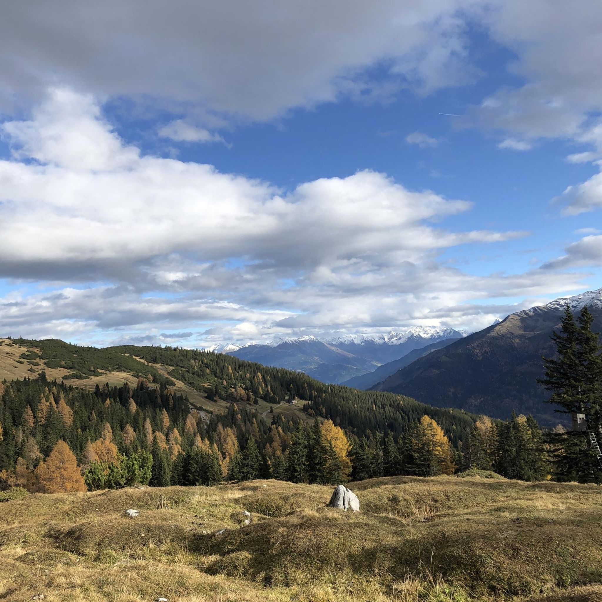
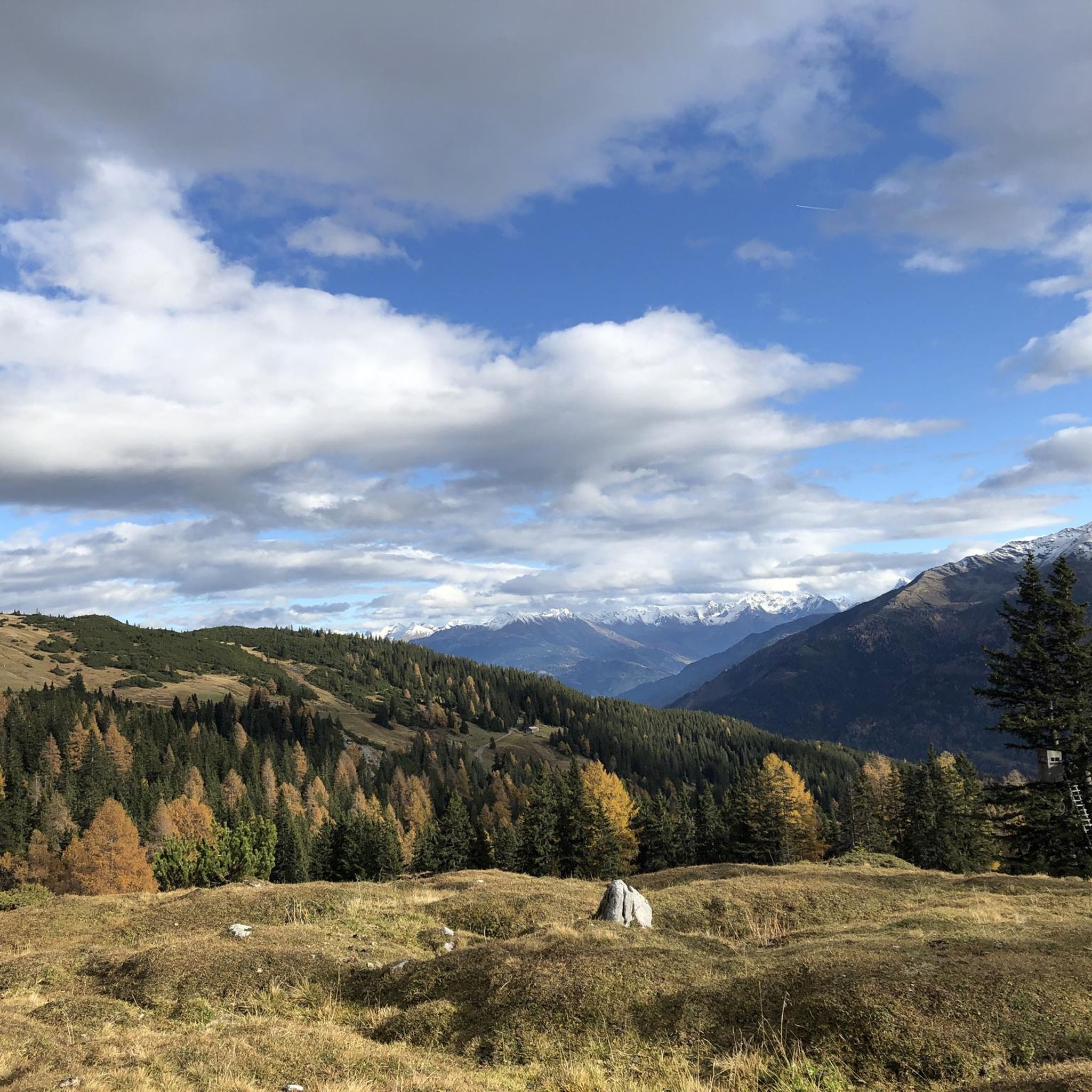
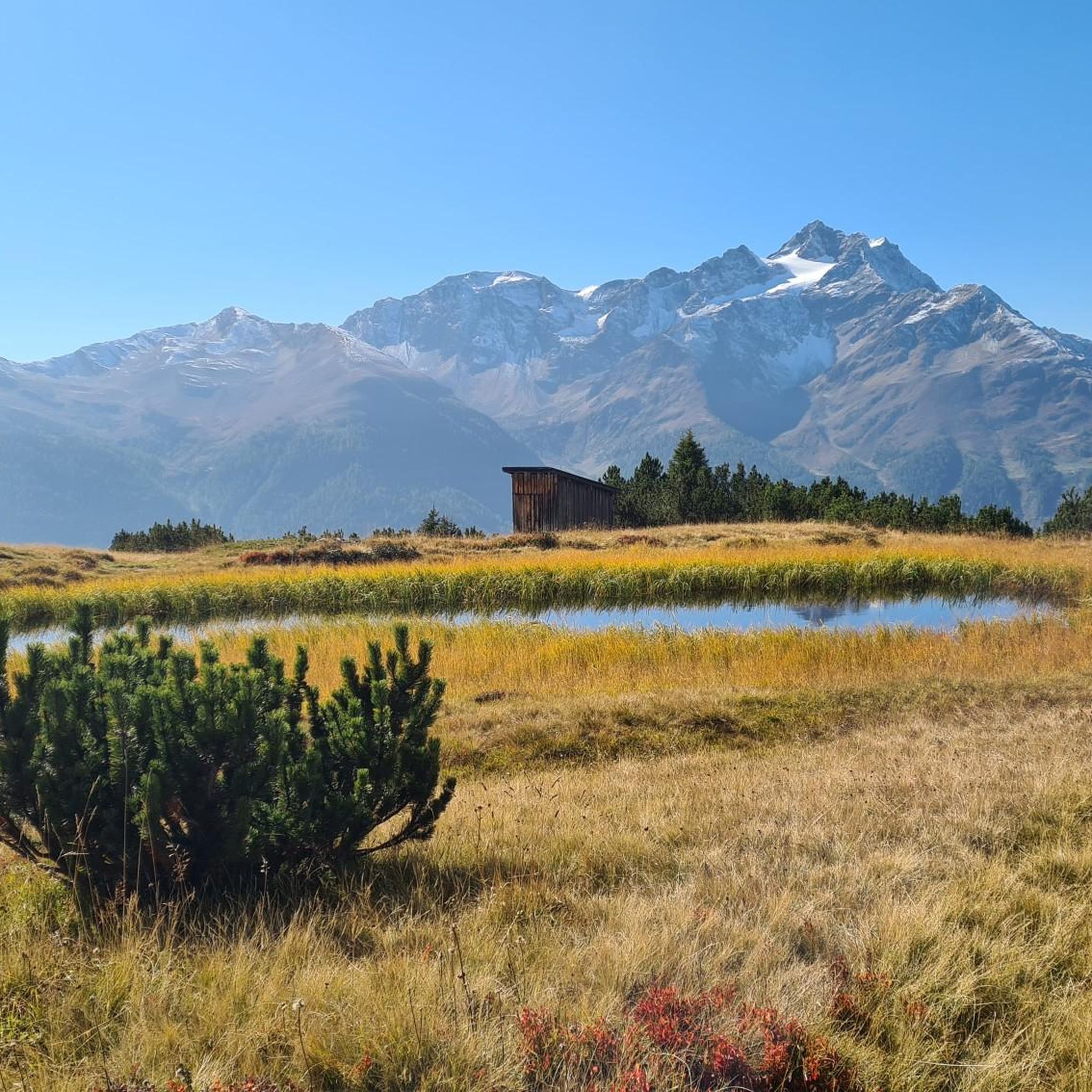
- Mountaineering around Strengen is defined by high alpine passes, challenging ascents, and panoramic views of the Tiroler Oberland. The network offers options for both moderate and difficult routes, catering to various skill levels.
- The routes in Strengen are highly rated by the komoot community with an average score of 4.9 stars from over 60 reviews. More than 500 mountaineers have used komoot to explore Strengen's varied terrain.
Last updated: June 24, 2026
5.0
(8)
42
hikers
11.4km
07:47
1,510m
1,510m
Hard mountaineering route. Very good fitness required. Sure-footedness, sturdy shoes and alpine experience required.
5.0
(7)
31
hikers
7.57km
04:26
850m
850m
Moderate mountaineering route. Good fitness required. Mostly accessible paths. Sure-footedness required.

Sign up for free
5.0
(2)
22
hikers
1.59km
00:48
120m
120m
Hard mountaineering route. Great for any fitness level. Sure-footedness, sturdy shoes and alpine experience required.
4.3
(3)
17
hikers
3.97km
03:23
640m
650m
Hard mountaineering route. Good fitness required. Sure-footedness, sturdy shoes and alpine experience required.
15
hikers
12.9km
06:31
1,070m
1,070m
Hard mountaineering route. Very good fitness required. Sure-footedness, sturdy shoes and alpine experience required.
Get access to more routes and recommendations from other explorers.
Sign up for free
Already have an account?
Our route recommendations are based on thousands of hikes, rides, and runs completed by other people on komoot.
Start today with a free account
Your next adventure awaits.
Login or Signup
Popular around Strengen


Tips from the Community

Great hut with really friendly staff! Highly recommended, even for day trips!
1
0

An impressive panorama awaits you at the Augsburger Hütte. There are simple meals, including a few vegetarian options. There are 21 beds in dormitories and 38 beds in mattress dormitories available for overnight stays. In the cold season, when the hut is closed, you can find shelter in the winter room (14 beds). All information is available at https://augsburgerhuette.jimdoweb.com/.
2
1

The path is partially gone and you can only walk over stones. The wooden beams are lying around everywhere.
1
0

At the DAV hut (2,256 metres) you will be provided with regional food, you can take a break on the sunny terrace or even spend the night.
1
0

The Ascherhütte is worth a visit at any time of the year.
1
0

Yes, you are welcomed here with schnapps every day. It's really hard to refuse, with such nice people 😃. If you want to stay sober, it's best not to leave the property and ignore the drinks menu 😂. Funny drink selection 😆😵💫🤣. Sleeping camp was also quite okay 👍.
3
1

5 minutes away the bumblebee ladder is also cool.
2
1
Nice staff, beds as comfortable as usual, sausage also good 👍, unfortunately there was only Kaiserschmarren as sweet, otherwise apple strudel, which is very big and you almost can't manage it. However, the toilet here is a dry toilet.
2
0
Frequently Asked Questions
How many mountaineering routes are available around Strengen?
There are over 20 mountaineering routes in the Strengen region, offering a wide range of experiences. The majority of these routes are classified as difficult, with a few moderate options available.
What is the typical difficulty level of mountaineering routes in Strengen?
Mountaineering around Strengen is primarily characterized by challenging routes, with 21 out of 24 tours rated as difficult. There are also 3 moderate routes for those seeking a slightly less strenuous experience.
Are there any moderate mountaineering routes suitable for those with some experience but not looking for extreme challenges?
Yes, there are a few moderate options. For example, the Augsburger Hut loop from Grins is a popular moderate route, featuring significant elevation gain through alpine terrain to a well-known mountain hut.
What is the best time of year for mountaineering in Strengen?
The prime season for mountaineering in the Tiroler Oberland, including Strengen, is typically from late spring to early autumn (June to September). During this period, snow has usually melted from higher elevations, and weather conditions are generally more stable, though alpine weather can change rapidly.
Are there any multi-day mountaineering options or hut-to-hut tours in the Strengen area?
While specific multi-day treks aren't detailed as single routes, the presence of huts like the Augsburger Hut and Memminger Hut suggests that hut-to-hut tours are a classic way to experience the region. Many mountaineers use these huts as bases for exploring the surrounding high alpine environment over several days.
What kind of views can I expect on the mountaineering routes around Strengen?
Mountaineering routes in Strengen offer panoramic views of the Tiroler Oberland, characterized by rugged peaks, deep valleys, and expansive alpine landscapes. Routes often lead to exposed ridges, providing breathtaking vistas of the Central Eastern Alps.
Are there any family-friendly mountaineering routes in Strengen?
Given that most routes in Strengen are classified as difficult, and even the moderate ones involve significant elevation gain, truly family-friendly mountaineering routes for young children are limited. These trails are generally better suited for experienced mountaineers.
What do other mountaineers say about the routes in Strengen?
The mountaineering routes in Strengen are highly rated by the komoot community, with an average score of 4.9 stars from over 60 reviews. Reviewers often praise the challenging ascents, the stunning high alpine environment, and the panoramic views of the Tiroler Oberland.
Are there any circular mountaineering routes in the Strengen region?
Yes, several routes are designed as loops. For instance, the challenging Augsburger Hut – Patrolscharte loop from Grins is a popular circular trail, as is the moderate Augsburger Hut loop from Grins.
What are some notable landmarks or attractions near the mountaineering trails in Strengen?
Beyond the trails themselves, the Strengen region is rich in history and natural beauty. You can explore historical sites like Landeck Castle and Historic Town Center or the ruins of Schrofenstein Castle. For a different kind of outdoor activity, there are also bike parks nearby, such as the Scheidtrail.
Is it possible to reach the trailheads using public transport?
While specific public transport details for every trailhead are not provided, the Strengen region is part of the Tiroler Oberland, which generally has a good public transport network connecting villages. It's advisable to check local bus schedules for connections to specific starting points like Grins or See before planning your trip.
Are there any permits required for mountaineering in the Strengen area?
Generally, no specific permits are required for standard mountaineering routes in the Strengen region of the Austrian Alps. However, it's always wise to check for any local regulations, especially if you plan to enter protected areas or attempt routes that cross into nature reserves.
Most popular routes around Strengen
Most popular attractions around Strengen

Get inspired with the komoot mobile app


Explore more
Browse the best Mountain Hikes & Routes in other regions.
