The best hikes from bus stations around Strengen
4.6
(4133)
21,991
hikers
294
hikes
Hiking around Strengen, Austria, offers diverse alpine terrain within the Lechtal Alps, Paznaun-Ischgl, and St. Anton regions. The area is characterized by towering peaks, dramatic canyons, and high mountain passes, providing varied hiking experiences. Hikers can encounter picturesque waterfalls and a mix of easily accessible paths and routes requiring alpine experience. The landscape features significant elevation changes and panoramic views across the Tyrolean mountains.
Best bus station hiking trails around Strengen
- The most popular bus station hiking route is To…
Last updated: May 14, 2026
2
hikers
17.3km
06:13
1,060m
1,060m
Hard hike. Very good fitness required. Easily-accessible paths. Suitable for all skill levels.
5.0
(5)
21
hikers
17.6km
06:00
930m
930m
Hard hike. Very good fitness required. Easily-accessible paths. Suitable for all skill levels.

Sign up for free
6
hikers
7.01km
02:32
440m
440m
Moderate hike. Good fitness required. Easily-accessible paths. Suitable for all skill levels.
5
hikers
7.74km
02:22
280m
280m
Moderate hike. Good fitness required. Easily-accessible paths. Suitable for all skill levels.
Get access to more routes and recommendations from other explorers.
Sign up for free
Already have an account?
Our route recommendations are based on thousands of hikes, rides, and runs completed by other people on komoot.
Start today with a free account
Your next adventure awaits.
Login or Signup

Tips from the Community

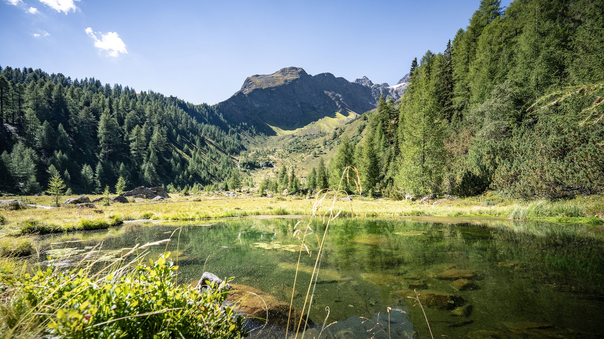
Beautiful small lake and easy to reach from the village. With benches, a fireplace and many more
0
0

Pretty little chapel with a fountain and a beautiful view of the valley and mountains.
0
0
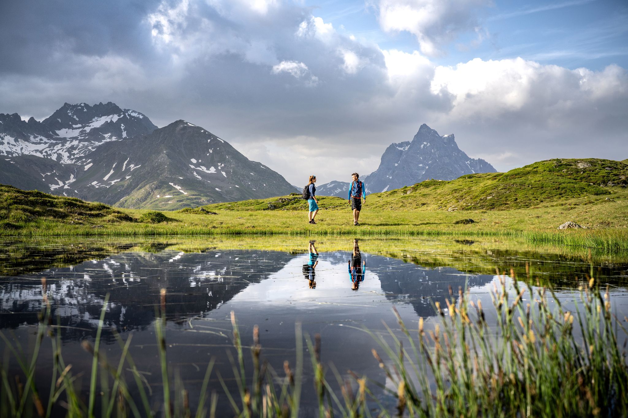
Passing the hamlets of Riefe, Kramategg and Verill, you reach this particularly quiet and picturesque high meadow area above Strengen. The Eggerweiher also slumbers here - a fantastically beautiful place!
0
0
Idyllic little pond in the middle of the forest. There is a playground, a barbecue area and shady trees that sweeten your break in this beautiful spot. There is also a raft on the water that you are welcome to use!
0
0
Picturesque lake in the middle of untouched nature near the Dawinalpe. A place to find peace, enjoy the view and nature.
0
0

The idyllic Egger Weiher is located in Strengen am Arlberg.
1
1


Frequently Asked Questions
How many hiking trails are accessible from bus stations around Strengen?
Strengen offers nearly 300 hiking routes that are conveniently accessible via bus stations. These trails cater to various fitness levels, with a good mix of easy, moderate, and difficult options.
Are there any easy hiking trails near Strengen bus stops suitable for beginners or families?
Yes, Strengen has over 80 easy hiking trails accessible by bus. While specific easy routes aren't detailed here, you'll find paths suitable for a relaxed stroll. For a moderate option that's not too strenuous, consider the Chapel in the Forest loop from Strengen, which is about 7.7 km long with manageable elevation gain.
What kind of natural attractions can I expect to see on bus-accessible hikes in Strengen?
The Strengen region, nestled in the Tyrolean Alps, is rich in natural beauty. You can encounter dramatic canyons, majestic mountain passes, and picturesque waterfalls. Highlights include the impressive Schnanner Gorge, the serene Parseierbach Waterfall, and the beautiful Seewiseebach Waterfall. Many trails also offer stunning panoramic views of the surrounding Lechtal Alps.
Are there any circular hiking routes from Strengen bus stations?
Yes, many routes in the Strengen area are designed as loops, making them ideal for bus-accessible day trips. An example of a moderate circular route is the Dawin Alpe – Dawin Forest loop from Strengen, which covers about 7 km. For a more challenging option, the Egger Pond – Dawinalpe loop from Strengen is a difficult 17.6 km trail.
What is the best season for hiking in Strengen, especially for bus-accessible trails?
The best time for hiking in Strengen is generally from late spring to early autumn (May to October), when the weather is most favorable and trails are clear of snow. During these months, you'll experience lush alpine meadows, comfortable temperatures, and full bus service to trailheads. Some higher-altitude routes may still have snow into early summer.
Are there any challenging or difficult hikes accessible by bus from Strengen?
Absolutely. Strengen offers 85 difficult hiking routes, many of which are accessible by bus. These trails often require very good fitness and alpine experience, leading to towering peaks and high mountain passes. A challenging option is the To the Great Lake – St. Anton am Arlberg route, a difficult 17.3 km hike with over 1000 meters of elevation gain.
What do other hikers say about the bus-accessible trails in Strengen?
The komoot community highly rates the hiking experience around Strengen, with an average score of 4.6 out of 5 stars from over 4,100 ratings. Hikers frequently praise the diverse alpine terrain, the stunning panoramic views of the Lechtal Alps, and the convenience of accessing trailheads via public transport.
Are there any huts or resting points along the bus-accessible hiking trails in Strengen?
Yes, many trails in the Strengen region feature mountain huts that serve as excellent resting points, offer refreshments, and sometimes even overnight stays. A notable hut in the area is the Kaiserjochhaus, which can be reached via various routes and provides a welcoming stop for hikers.
Can I bring my dog on the hiking trails around Strengen that are accessible by bus?
Generally, dogs are welcome on most hiking trails in the Strengen region. However, it's always advisable to keep them on a leash, especially in areas with livestock or wildlife. When using public transport to access trailheads, check the specific bus company's regulations regarding pets, as rules can vary.
What kind of terrain can I expect on hikes from Strengen's bus stations?
The terrain around Strengen is incredibly diverse. You can expect everything from well-maintained forest paths and gravel tracks to rugged alpine trails with rocky sections and steep ascents. Some routes may require sure-footedness and a head for heights, particularly those leading to higher mountain passes like Seescharte (2,599 m) or Flarschjoch Pass (2,464 m).
Are there any viewpoints or scenic overlooks on the bus-accessible trails near Strengen?
The Strengen area is renowned for its breathtaking vistas. Many trails offer incredible views of the surrounding mountain ranges, including the Lechtal Alps and the St. Anton region. While specific viewpoints are numerous, the general landscape ensures stunning panoramas from various elevations, often revealing dramatic canyons and distant peaks.
Most popular attractions around Strengen

Get inspired with the komoot mobile app


Explore more
Browse the best Hikes in other regions.
