The best mountain hikes around Oberhofen im Inntal
4.8
(275)
3,103
hikers
124
hikes
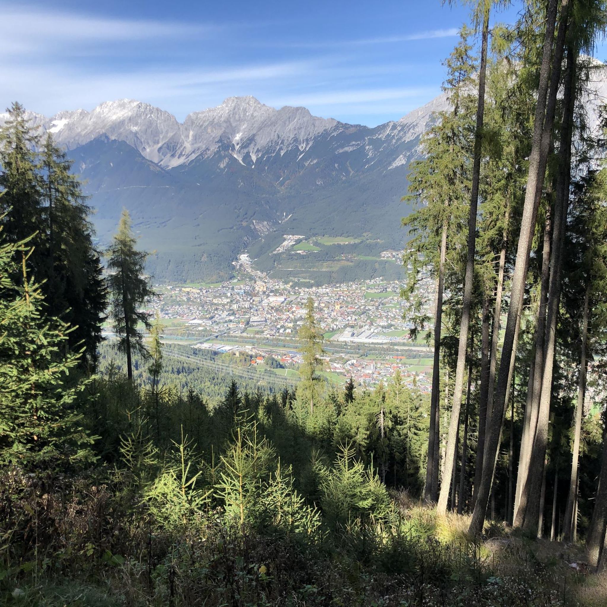
Mountaineering around Oberhofen im Inntal offers access to the majestic peaks of the Tyrolean Alps, situated on the southern side of the Inn Valley. The region features a diverse landscape of green meadows, dense forests, and the Inn River, providing a varied backdrop for alpine pursuits. At 622 meters above sea level, the village serves as a gateway to higher elevations, including parts of the Karwendel mountains, Austria's largest nature park. This area is characterized by significant elevation changes and challenging terrain suitable for experienced mountaineers.
Best mountaineering routes around Oberhofen im Inntal
- The most popular mountaineering route is Rietzer Grießkogel Summit – Summit ascent with cross loop from Kleiner Mugkogel, a 6.3 miles (10.2 km) trail that takes 5 hours 38 minutes to complete. This difficult route leads to a prominent summit with a cross.
- Another top favourite among local mountaineers is Hohe Munde West Summit – Rauthütte loop from Buchener Höhe, a difficult 7.7 miles (12.4 km) path. This route offers a challenging ascent to a significant peak, often taking around 7 hours 46 minutes.
- Local mountaineers also love the Rauthütte loop from Buchener Höhe, a 2.6 miles (4.2 km) trail leading through alpine terrain, often completed in about 2 hours 12 minutes.
- Mountaineering around Oberhofen im Inntal is defined by high alpine peaks, dense forests, and varied mountain terrain. The network offers options for different ability levels, from moderate ascents to difficult summit expeditions.
- The routes in Oberhofen im Inntal are highly rated by the komoot community with an average score of 4.9 stars from over 300 reviews. More than 3,400 mountaineers have used komoot to explore Oberhofen im Inntal's varied terrain.
Last updated: May 27, 2026
5.0
(7)
82
hikers
Hard mountaineering route. Very good fitness required. Sure-footedness, sturdy shoes and alpine experience required.
5.0
(4)
42
hikers
12.4km
07:46
1,420m
1,420m
Hard mountaineering route. Very good fitness required. Sure-footedness, sturdy shoes and alpine experience required.

Sign up for free
27
hikers
4.25km
02:12
390m
390m
Moderate mountaineering route. Good fitness required. Mostly accessible paths. Sure-footedness required.
15
hikers
7.02km
04:36
900m
900m
Hard mountaineering route. Good fitness required. Sure-footedness, sturdy shoes and alpine experience required.
13
hikers
Hard mountaineering route. Very good fitness required. Mostly accessible paths. Sure-footedness required.
Get access to more routes and recommendations from other explorers.
Sign up for free
Already have an account?
Our route recommendations are based on thousands of hikes, rides, and runs completed by other people on komoot.
Start today with a free account
Your next adventure awaits.
Login or Signup
Tips from the Community


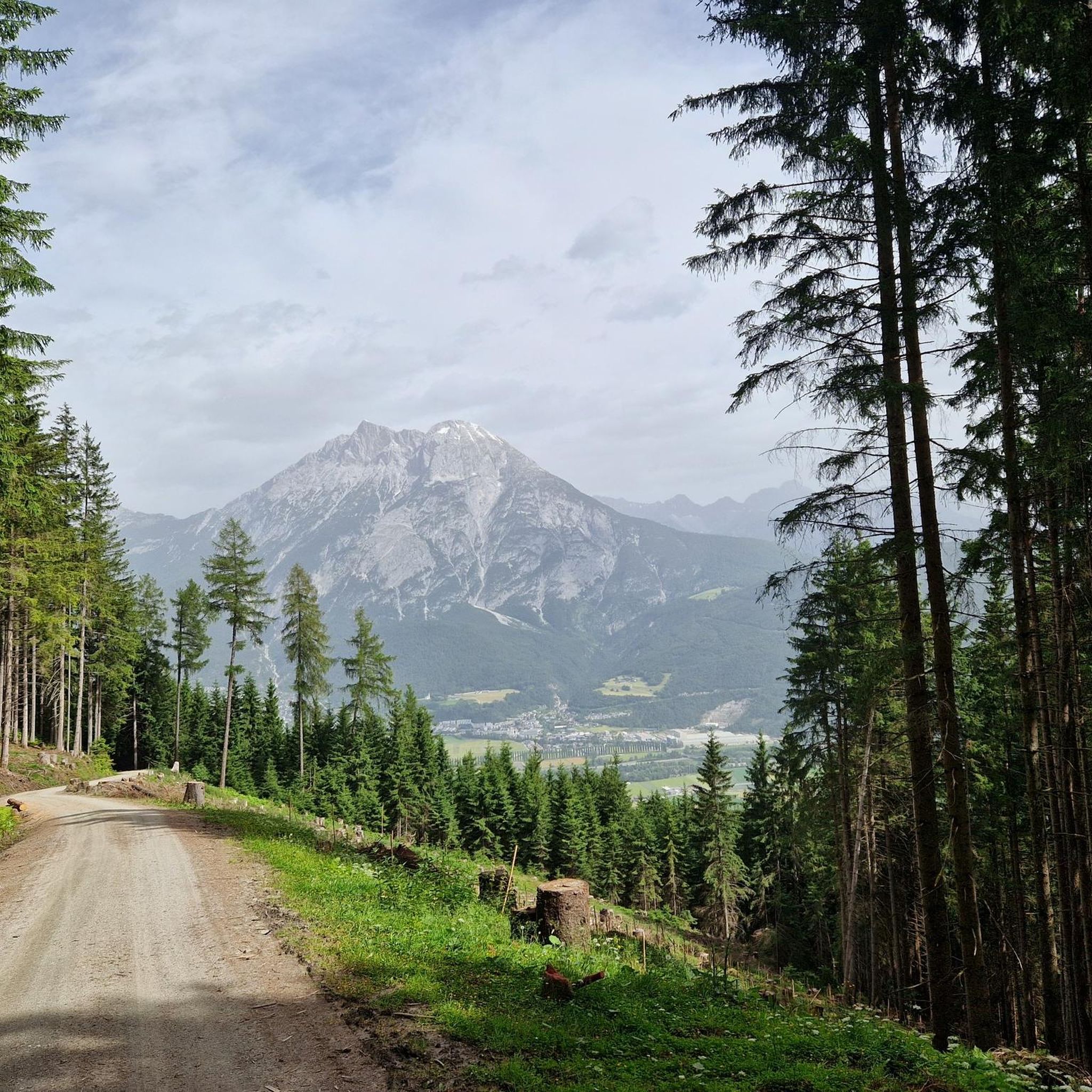
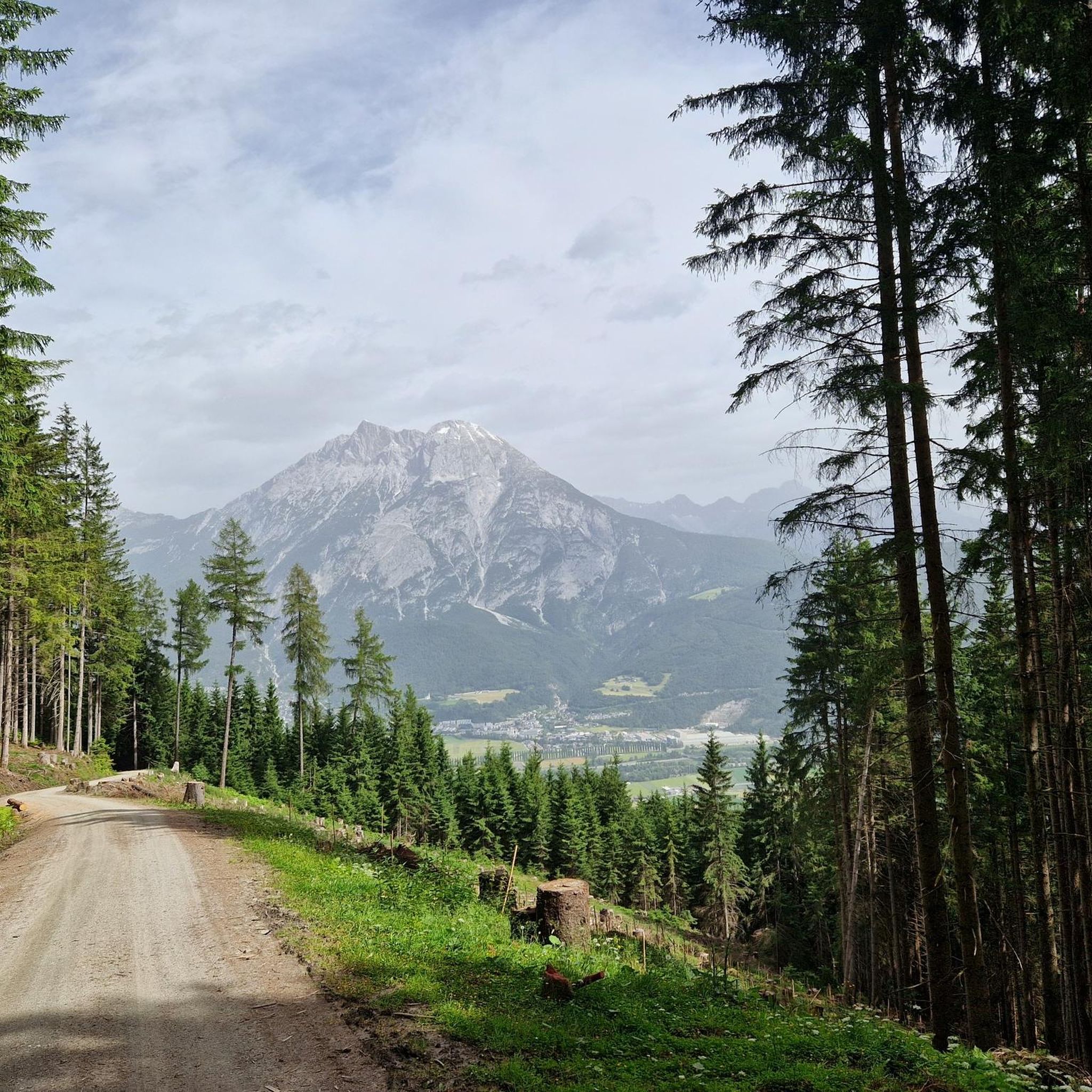
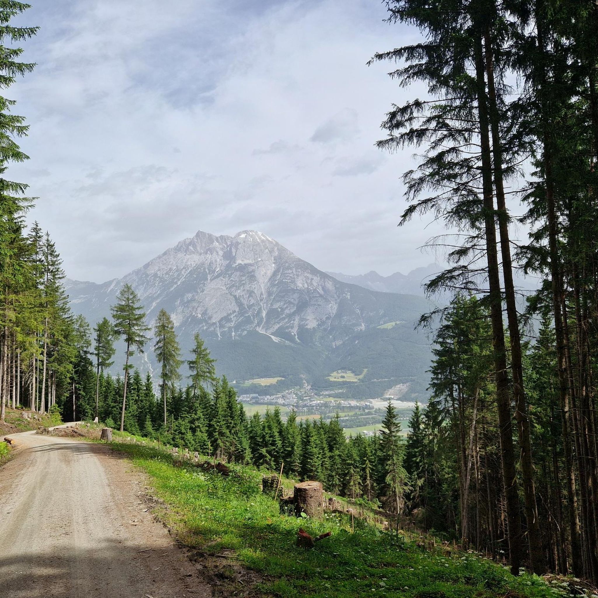
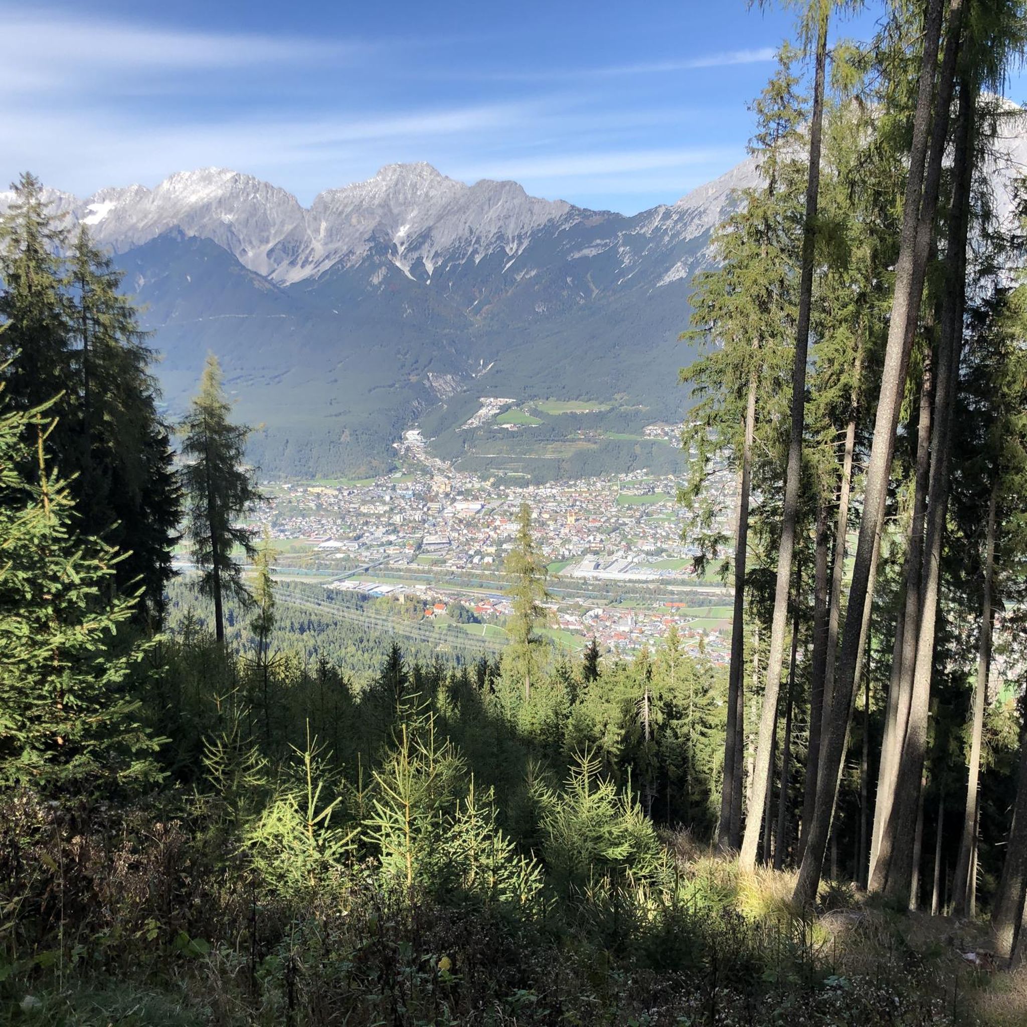
The drive along the forest road is very steep in places. Car access is permitted all week. The alpine hut is very well-run; we met many locals who drove up for lunch. We were there on our e-bikes. The food is simple, with various dumplings, roasts, and even fried chicken. The homemade schnapps is still available. It's all delicious; we highly recommend it.
0
0

If there is enough snow and the conditions are very safe, you can also ski directly from the Narrenböden down the steep south-facing slopes.
0
0
With a safe ascent (switchbacks) and descent technique, a head for heights and crampons, this tour can also be enjoyed.
0
0

The cozy alpine hut is on the way to the Zugspitzblick and the Hohe Munde. It can be reached on foot, with touring skis or by mountain bike. Enjoy a break on the terrace while the little ones let off steam on the playground. You can also stay overnight here. You can find more information at https://www.rauthhuette.at/
3
1
The Neue Alplhütte rises on the Mieminger Plateau above the Inn Valley at a height of 1,504 meters. Behind it, the mighty rock faces of the Mieminger chain rise up. The climb to the hut can also be mastered with children. Opening times in summer: mid-July to mid-November. You can find more information at http://www.alplhuette.com/.
1
1

Frequently Asked Questions
How many mountaineering routes are available in Oberhofen im Inntal?
Oberhofen im Inntal offers a wide array of mountaineering routes, with over 130 tours available. These range from moderate ascents to challenging summit expeditions, ensuring options for various skill levels.
What is the best time of year for mountaineering in Oberhofen im Inntal?
The best seasons for mountaineering in Oberhofen im Inntal are typically spring and autumn, when nature is vibrant or adorned with colorful foliage. Summer also offers good conditions, though temperatures can be higher. Always check local weather forecasts before heading out.
Are there routes suitable for beginners or less experienced mountaineers?
Yes, while many routes are challenging, there are options for those with less experience. The region offers a mix of trails, including moderate ascents. For example, the Rauthütte loop from Buchener Höhe is a moderate route that takes about 2 hours 12 minutes to complete.
Are there any challenging routes for experienced mountaineers?
Absolutely. Oberhofen im Inntal is known for its demanding alpine tours. Experienced mountaineers can tackle routes like the Rietzer Grießkogel Summit – Summit ascent with cross loop from Kleiner Mugkogel, a difficult 6.3-mile trail, or the Hohe Munde West Summit – Rauthütte loop from Buchener Höhe, which is a challenging 7.7-mile path offering a significant ascent.
What natural landmarks or viewpoints can I discover on these routes?
The region is rich in natural beauty. You can explore the picturesque Eastern shore of Lake Möserer See, the serene Kaltwassersee, or the Wildmoossee. For stunning panoramic views, consider reaching the Seefelder Joch Summit & Panoramic Viewpoint.
Are there mountain huts along the routes where I can rest or get food?
Yes, several mountain huts serve as excellent rest stops and viewpoints. The Oberhofer Melkalm Mountain Hut, located at 1,700 meters, is accessible via a three-hour hike. Other popular huts include the Wildmoosalm and the Wettersteinhütte, offering refreshments and stunning vistas.
Are there any circular mountaineering routes in the area?
Yes, many routes in Oberhofen im Inntal are designed as loops, allowing you to start and end in the same location. Examples include the Sonnkarköpfl (2,262 m) loop from Pfaffenhofer Alm and the Entrance to the Steinerne Meer – New Alpl Hut loop from Telfs-Pfaffenhofen.
Can I bring my dog on the mountaineering trails?
Many trails in the Tyrolean Alps are dog-friendly, but it's always recommended to check specific route regulations and local signage. Ensure your dog is well-behaved, kept on a leash where required, and that you carry waste bags. Some areas, especially nature reserves like the Karwendel mountains, may have specific rules regarding dogs.
What kind of terrain can I expect on mountaineering routes here?
Mountaineering routes around Oberhofen im Inntal feature diverse terrain, from lush pastures and dense forests in lower elevations to scree fields and rocky paths at higher altitudes. You'll encounter significant elevation changes and varied mountain landscapes, characteristic of the Tyrolean Alps.
What do other mountaineers say about the routes in Oberhofen im Inntal?
The mountaineering routes in Oberhofen im Inntal are highly rated by the komoot community, with an average score of 4.9 stars from over 300 reviews. Users frequently praise the spectacular panoramas, breathtaking views, and the diverse range of trails catering to different skill levels.
Are there any unique or 'hidden gem' mountaineering experiences?
For experienced hikers seeking a thrill, the demanding tour to the Kaiser-Max-Höhle (Emperor Max Cave) is a unique experience. This cave system extends over several kilometers through steep gorges and narrow paths, offering a fascinating insight into the subterranean world of the Tyrolean Alps.
How can I reach the starting points of mountaineering routes using public transport?
Oberhofen im Inntal is generally well-connected within the Inn Valley. While specific public transport access varies by trailhead, regional buses often serve the village and surrounding areas, providing connections to starting points. It's advisable to check local bus schedules for the most up-to-date information on routes and timings.
Where can I find parking for mountaineering routes?
Parking availability varies depending on the specific trailhead. Many popular starting points for mountaineering routes, especially those leading to mountain huts or prominent peaks, offer designated parking areas. Some routes, like those starting from Buchener Höhe or Pfaffenhofer Alm, typically have parking options nearby.
Most popular routes around Oberhofen im Inntal
Most popular attractions around Oberhofen im Inntal

Get inspired with the komoot mobile app


Explore more
Browse the best Mountain Hikes & Routes in other regions.
