The best mountain hikes in the Tuxer Alps
4.7
(271)
2,731
hikers
166
hikes
Mountaineering in the Tuxer Alps offers a diverse range of experiences within Austria's Tyrol region. The landscape features rugged and varied mountainous terrain, with peaks such as Lizumer Reckner reaching 2,886 meters. This sub-group of the Central Eastern Alps is characterized by high-alpine environments, including the Hintertux Glacier with its ancient ice and panoramic views, alongside picturesque alpine valleys. The region provides optimal conditions for mountaineering, with elevations ranging from 850 to 3,250 meters.
Best mountaineering routes in the Tuxer…
Last updated: September 27, 2026
4.8
(14)
156
hikers
2.05km
01:23
200m
200m
Hard mountaineering route. Great for any fitness level. Sure-footedness, sturdy shoes and alpine experience required.
4.6
(8)
99
hikers
7.02km
04:07
610m
600m
Hard mountaineering route. Good fitness required. Sure-footedness, sturdy shoes and alpine experience required.

4.9
(13)
73
hikers
7.77km
03:05
340m
340m
Moderate mountaineering route. Good fitness required. Mostly accessible paths. Sure-footedness required.
4.6
(8)
58
hikers
Moderate mountaineering route. Good fitness required. Mostly accessible paths. Sure-footedness required.
3.0
(1)
69
hikers
8.46km
04:20
800m
800m
Moderate mountaineering route. Good fitness required. Mostly accessible paths. Sure-footedness required.
4.5
(2)
45
hikers
17.9km
07:04
1,100m
1,100m
Hard mountaineering route. Very good fitness required. Mostly accessible paths. Sure-footedness required.
5.0
(2)
51
hikers
7.92km
03:52
590m
590m
Hard mountaineering route. Good fitness required. Sure-footedness, sturdy shoes and alpine experience required.
4.5
(4)
50
hikers
Moderate mountaineering route. Great for any fitness level. Mostly accessible paths. Sure-footedness required.
5.0
(1)
26
hikers
14.7km
06:07
1,000m
1,000m
Hard mountaineering route. Very good fitness required. Sure-footedness, sturdy shoes and alpine experience required.
4.3
(3)
40
hikers
9.99km
05:23
800m
800m
Hard mountaineering route. Very good fitness required. Sure-footedness, sturdy shoes and alpine experience required.
Get access to more routes and recommendations from other explorers.
Already have an account?
Our route recommendations are based on thousands of hikes, rides, and runs completed by other people on komoot.
Start today with a free account
Your next adventure awaits.
Popular around Tuxer Alps
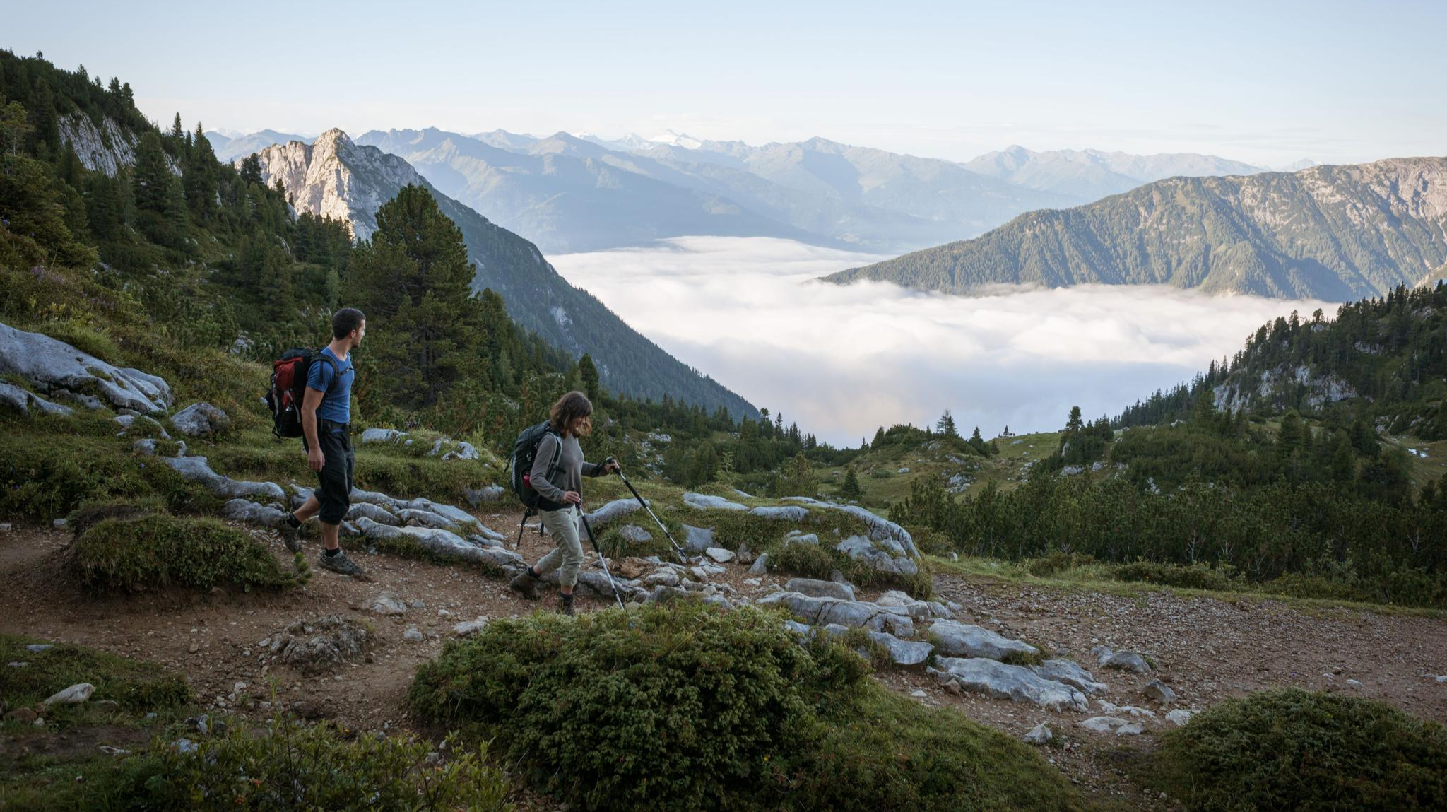
Eagle Walk – Majestic hiking along Tirol's trail

Via Venezia Alpina – hiking across the Alps to the Adriatic Sea
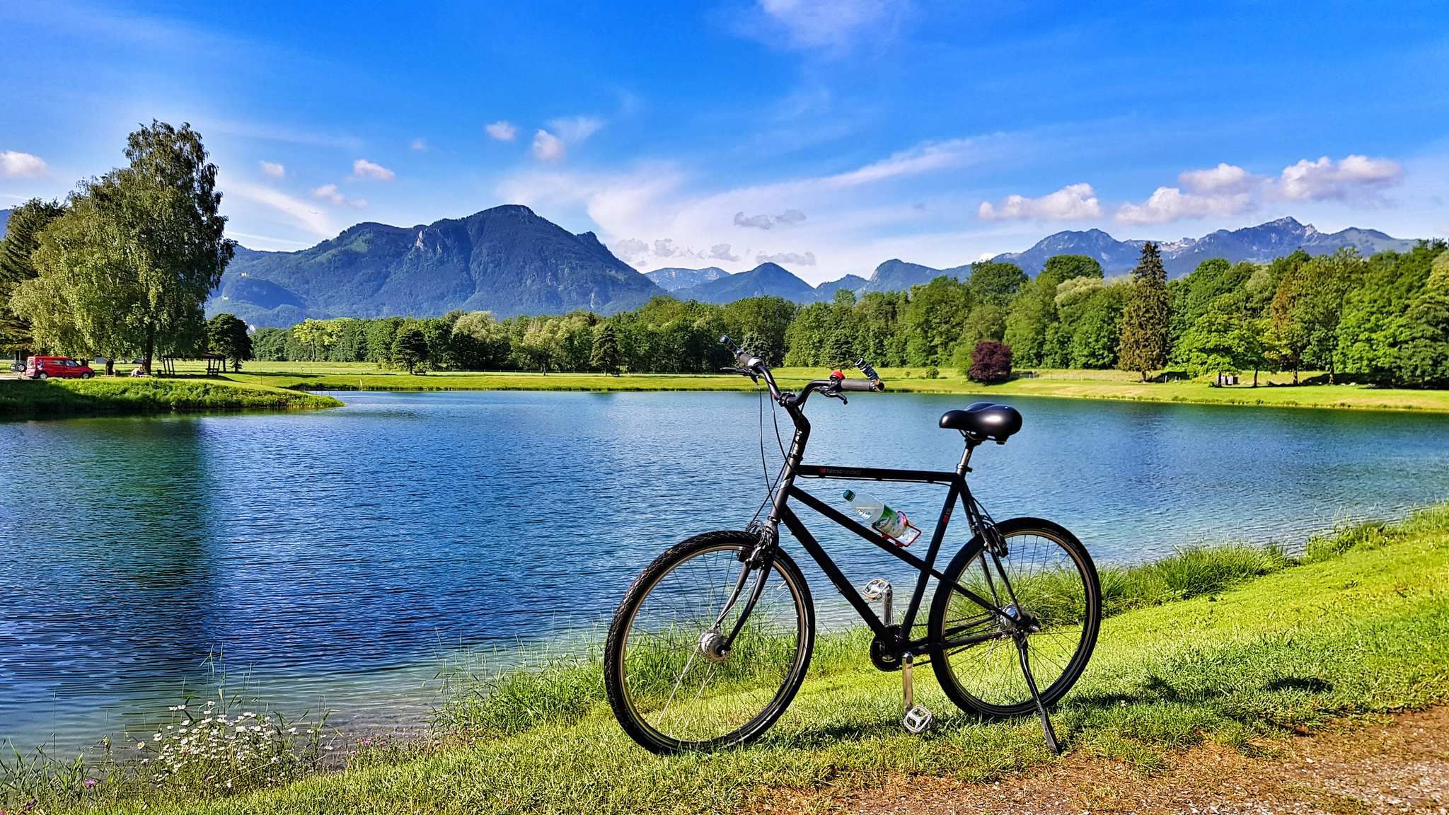
The Inn Cycle Path – From a babbling brook to a mighty river
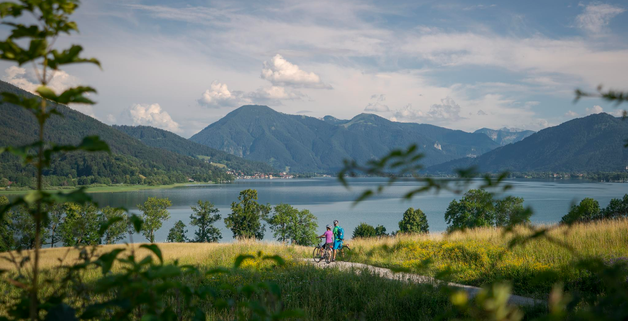
The Munich-Venice Long-Distance Cycle Path – A beautiful Alps crossing
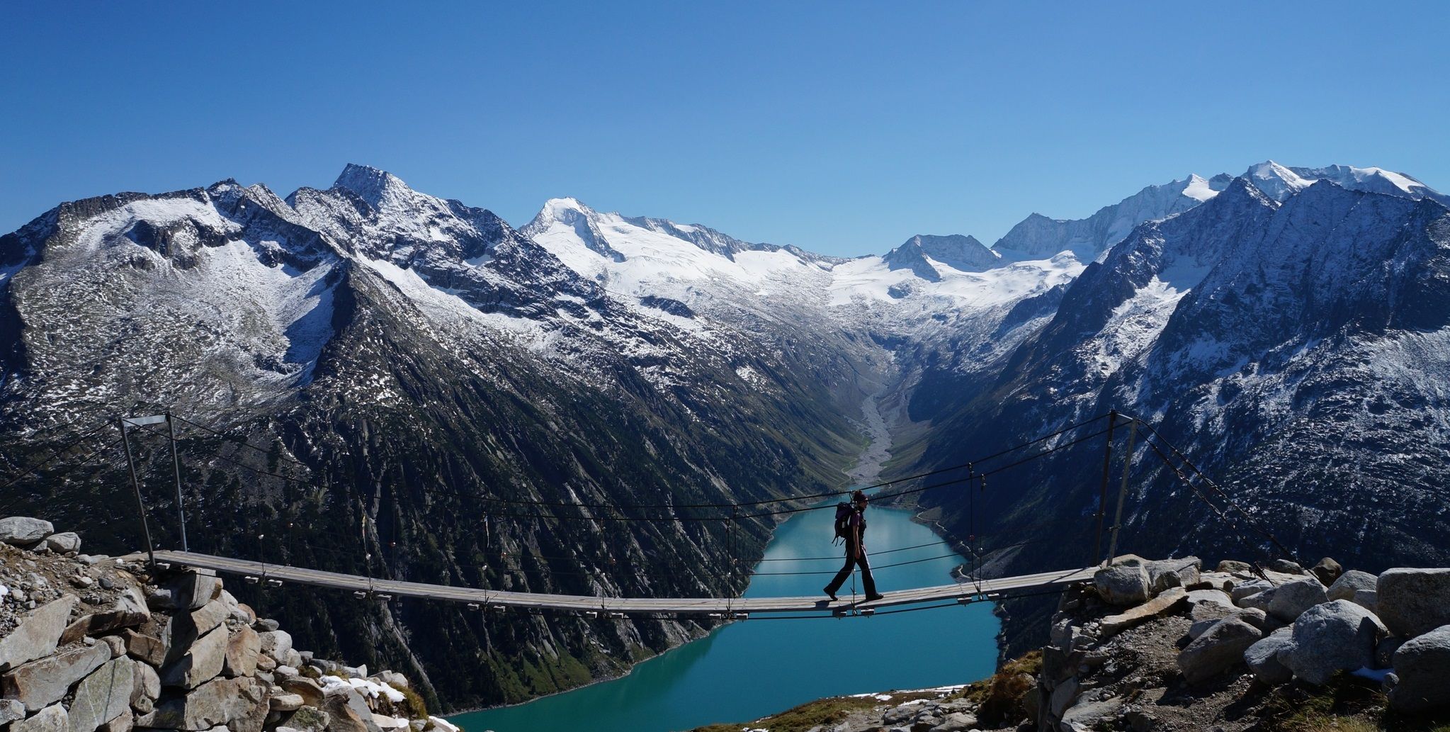
The Peter Habeler loop — an alpine trail around the Olperer
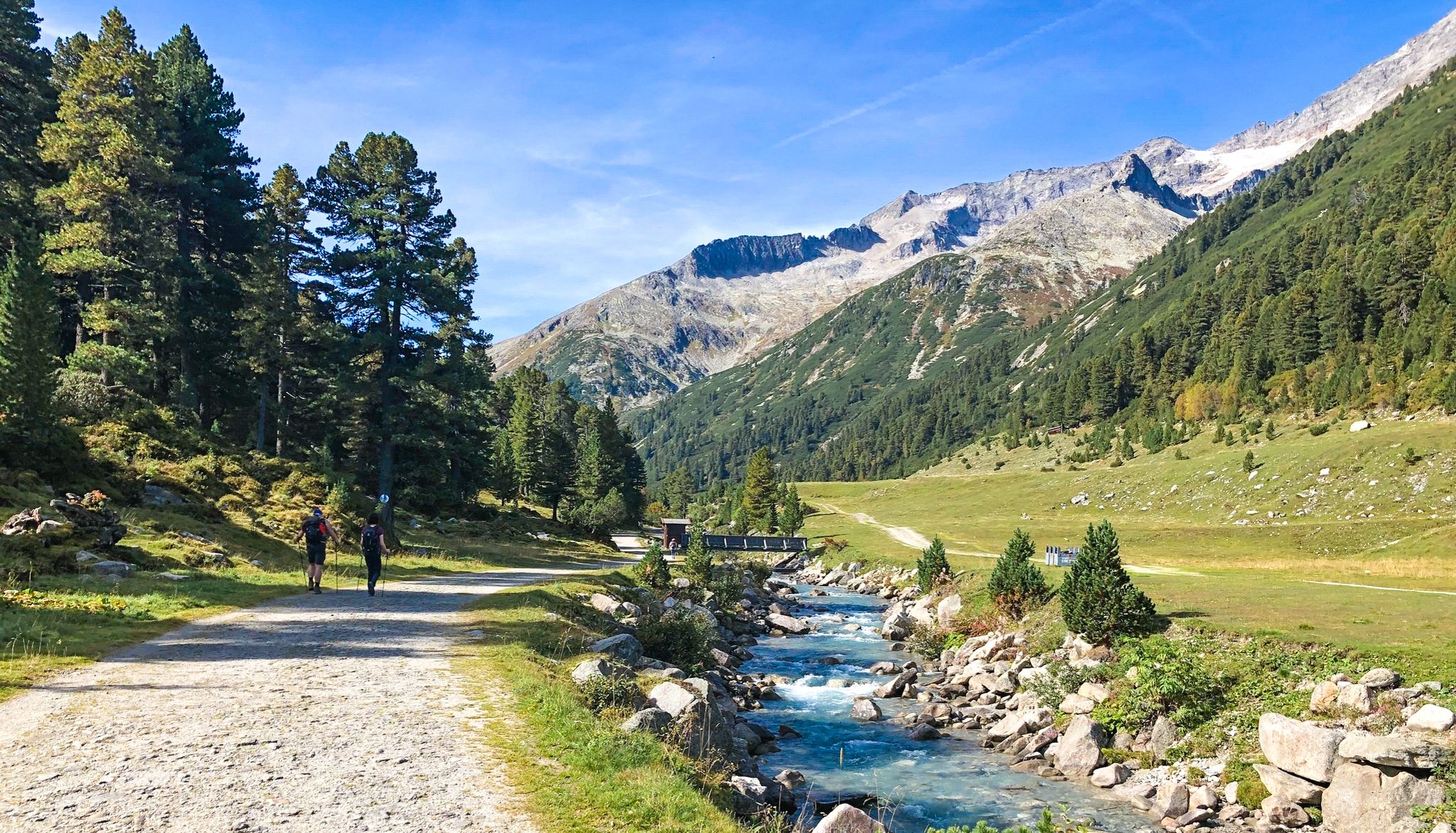
Alpine crossing for pleasure hikers – 7 stages from Lake Tegernsee to Sterzing

The "Dream Path" hiking trail – From Munich to Venice in 28 stages
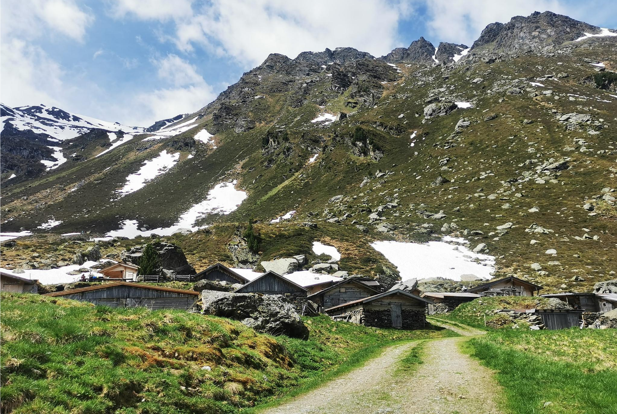
From Alm to Alm – superb hikes in the Hall-Wattens Region
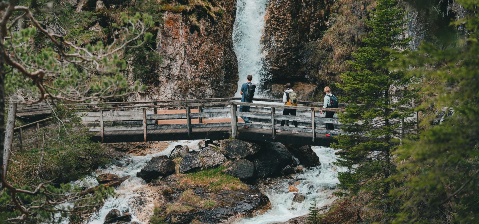
Idyllic mountain lakes and rushing waterfalls – hiking in the Wipptal
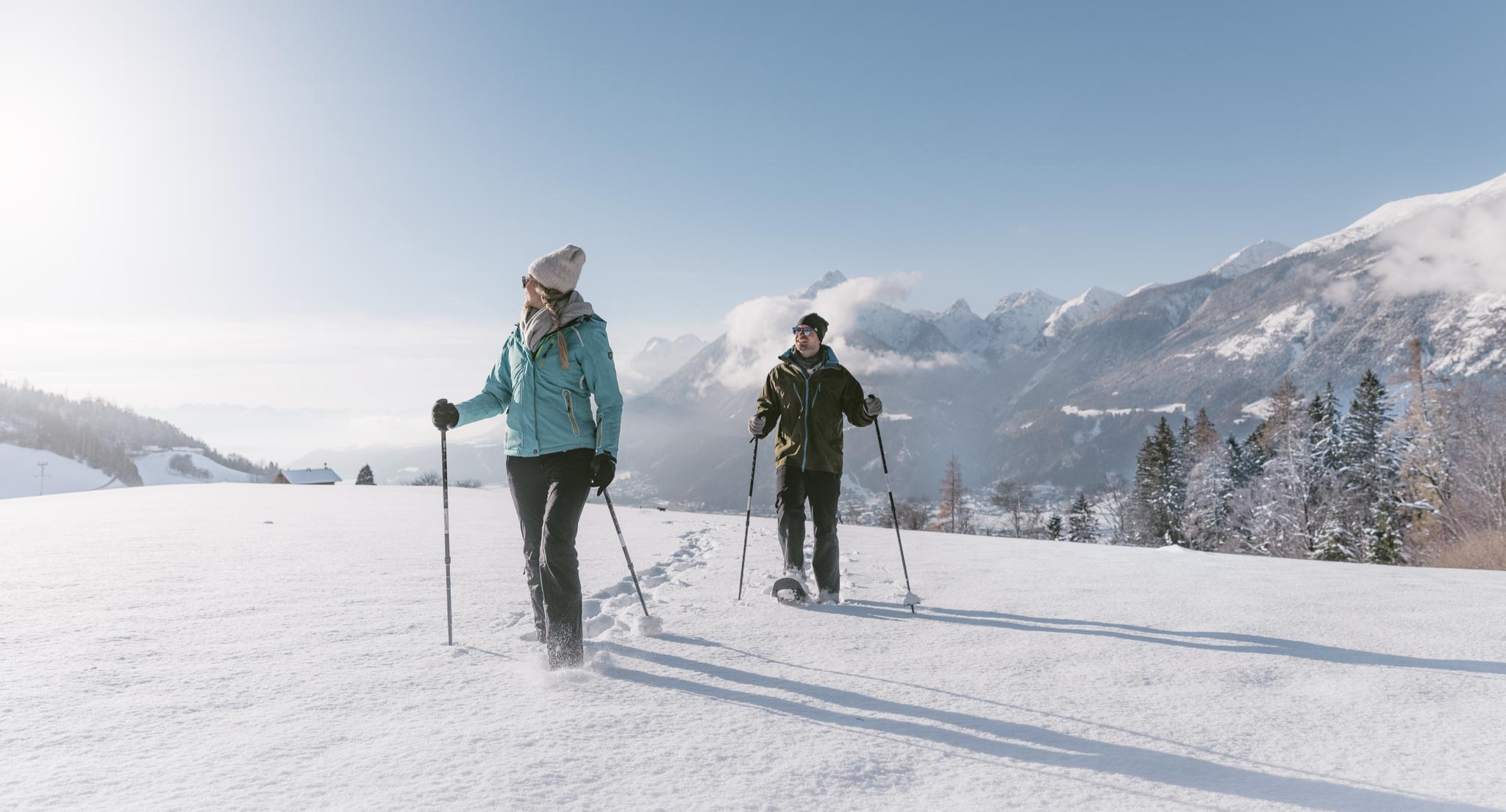
Spuren im Schnee – Schneeschuhabenteuer in der Silberregion Karwendel
Other adventures in the Tuxer Alps


Tips from the Community


A beautiful and scenic ridge hike with panoramic views of the Zillertal Alps and the Inn Valley. Partially marked as T3 (shortly before the Kreuzjoch summit) as the path is exposed in sections and secured with ropes. Otherwise, a very pleasant ridge hike.
0
0
The rope definitely provides a sense of security when you want to pass on this partly very narrow section.
0
0

The absolute best, most meaningful saying I have ever read on a summit cross: "Doing nothing wrong is evil enough"
0
0
I ascended from Innerst. Soon after the forest road junction, I would go left into the terrain and over the long ridge to the summit. There are track marks on the summit slope.
0
0

Here are old farm and stable for the cows or other animals. However, they are busy making a new farm and installing electricity and sewage.
0
0

The Loassattel is perfect for a short break. Enjoy the tranquility and the panorama before the next descent begins.
0
0
Frequently Asked Questions
How many mountaineering routes are available in the Tuxer Alps?
The Tuxer Alps offer a wide selection of mountaineering routes, with nearly 200 tours available. This includes a diverse range of experiences, from challenging high-alpine ascents to more accessible mountain paths, catering to various skill levels.
What are the difficulty levels of mountaineering routes in the Tuxer Alps?
The Tuxer Alps provide a broad spectrum of difficulties. You'll find 5 easy routes, 67 moderate routes, and 112 difficult routes. This variety ensures there are options for both those seeking a strenuous challenge and those looking for a more relaxed mountain experience.
Are there any circular mountaineering routes in the Tuxer Alps?
Yes, many routes in the Tuxer Alps are designed as loops, allowing you to start and end at the same point. For example, the Kreuzjoch summit cross – Rastkogel Hut loop from Arbiskopf is a moderate 7.7 km tour, and the Glungezer Hut – Glungezer loop from Tyrol offers a more challenging 7.4 km experience through high alpine scenery.
Can I find routes with waterfalls in the Tuxer Alps?
Absolutely. The Tuxer Alps are known for their beautiful water features. You can explore routes that pass by impressive waterfalls, such as the Schleier Waterfall – Weitental Waterfall (Hintertux) loop from Schutzzone Rothirsch. This moderate 10.5 km route allows you to experience the refreshing beauty of Schleier Waterfall and Weitental Falls.
What kind of natural features or landmarks can I expect to see on these routes?
Mountaineering in the Tuxer Alps offers stunning natural diversity. You'll encounter rugged peaks like Lizumer Reckner (2,886 m), the unique Hintertux Glacier, and picturesque valleys. Many routes also lead past significant landmarks such as the Rastkogel Hut, or offer views of the Spieljoch Summit. The region is also home to some of Europe's oldest pine populations.
Are there routes suitable for families or beginners in the Tuxer Alps?
While many routes are challenging, there are options for families and beginners. The Tuxer Alps feature 5 easy and 67 moderate routes, providing less strenuous paths. These often traverse picturesque valleys or lead to accessible mountain huts, offering a gentler introduction to mountaineering in the region.
What is the best time of year for mountaineering in the Tuxer Alps?
The ideal time for mountaineering in the Tuxer Alps is typically from late spring to early autumn (June to September), when trails are generally clear of snow and weather conditions are more stable. However, the Hintertux Glacier offers year-round opportunities for glacier tours and ice climbing, extending the season for specialized activities.
Are there mountain huts along the routes for rest or overnight stays?
Yes, the Tuxer Alps have a network of Alpine Club huts, which are essential for mountaineers. Huts like the Glungezer Hut, Lizumer Hut, Rastkogel Hut, and Weidener Hut provide crucial rest stops, meals, and overnight accommodation, enhancing the mountaineering experience and allowing for multi-day tours.
What do other mountaineers say about the routes in the Tuxer Alps?
The mountaineering routes in the Tuxer Alps are highly regarded by the komoot community, with an impressive average rating of 4.7 stars from over 260 reviews. More than 3,000 mountaineers have used komoot to explore the region, often praising the diverse terrain, stunning panoramic views, and well-maintained trails.
Are there options for more advanced climbers, such as via ferratas?
For those seeking more advanced challenges, the Tuxer Alps offer excellent climbing opportunities, including via ferratas. The Zimmereben Guesthouse – Huterlaner via ferrata loop from Mayrhofen is a popular difficult route featuring a via ferrata experience. Additionally, via ferratas can be found at Spannagel and Penken, providing thrilling ascents.
How can I reach the trailheads using public transport?
The Tuxer Alps region is generally well-connected by public transport, especially within the valleys like Tuxertal. Many trailheads are accessible by local bus services, which can take you to starting points for various routes. It's advisable to check local bus schedules in advance for specific routes and timings to plan your journey effectively.
Are there any routes that offer glacier experiences?
Yes, the Hintertux Glacier is a prominent feature of the Tuxer Alps and offers unique glacier experiences. While specific mountaineering routes directly on the glacier require specialized equipment and often a guide, the region provides opportunities for glacier tours and ice climbing, allowing you to explore this ancient ice formation.
What are some of the highest peaks I can reach in the Tuxer Alps?
The Tuxer Alps boast several significant peaks for mountaineers. The highest point is Lizumer Reckner at 2,886 meters. Other notable peaks include Rastkogel (2,762 m), Glungezer (2,677 m), and Gilfert (2,506 m). Routes like the View of Roßkopf from Sidanjoch – Roßkopf Summit (2,576 m) loop from Hochfügen offer challenging ascents to these high-altitude summits.
Most popular routes in the Tuxer Alps
Most popular attractions in the Tuxer Alps

Get inspired with the komoot mobile app


Explore more
Browse the best Mountain Hikes & Routes in other regions.
