The best traffic-free bike rides in the Tuxer Alps
4.5
(298)
7,868
riders
24
rides
No traffic road cycling routes in the Tuxer Alps are characterized by a diverse alpine landscape, featuring demanding ascents and descents across mountain passes and through deep valleys. The region is part of the larger Tyrolean Alps, offering significant elevation changes and panoramic views. Road cyclists navigate through areas with majestic peaks, such as those within the Zillertal Alps Nature Park, and along river valleys like the Ziller. This terrain provides varied challenges for road cyclists seeking routes without vehicle…
Last updated: September 30, 2026
4.5
(63)
1,444
riders
64.0km
02:46
360m
360m
Moderate road ride. Good fitness required. Mostly well-paved surfaces and easy to ride.
4.8
(20)
523
riders
46.4km
02:50
920m
920m
Hard road ride. Very good fitness required. Mostly well-paved surfaces and easy to ride.

4.7
(11)
262
riders
59.3km
04:36
2,270m
2,270m
Hard road ride. Very good fitness required. Mostly well-paved surfaces and easy to ride.
5.0
(10)
296
riders
83.9km
04:50
1,550m
1,550m
Hard road ride. Very good fitness required. Mostly well-paved surfaces and easy to ride.
4.4
(9)
176
riders
29.2km
01:53
750m
750m
Moderate road ride. Good fitness required. Mostly well-paved surfaces and easy to ride.
Get access to more routes and recommendations from other explorers.
Already have an account?
Our route recommendations are based on thousands of hikes, rides, and runs completed by other people on komoot.
Start today with a free account
Your next adventure awaits.
Popular around Tuxer Alps
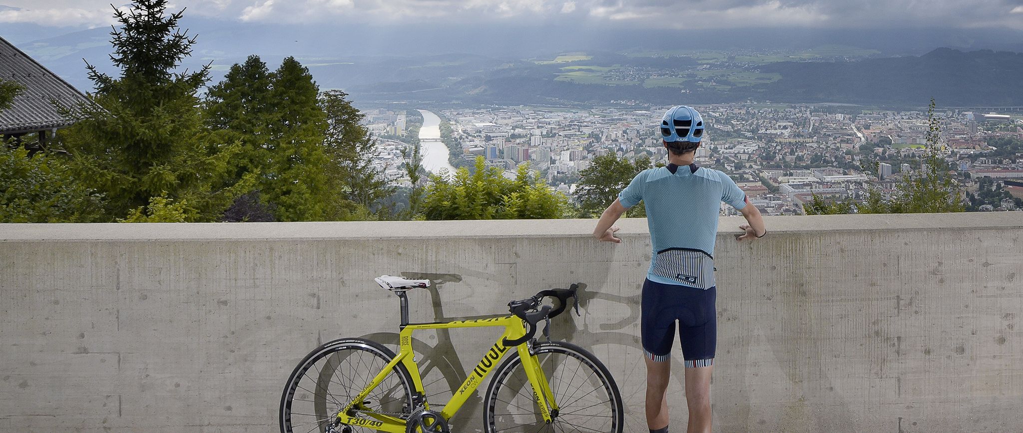
Innsbruck: The host city of the 2018 Road World Championships
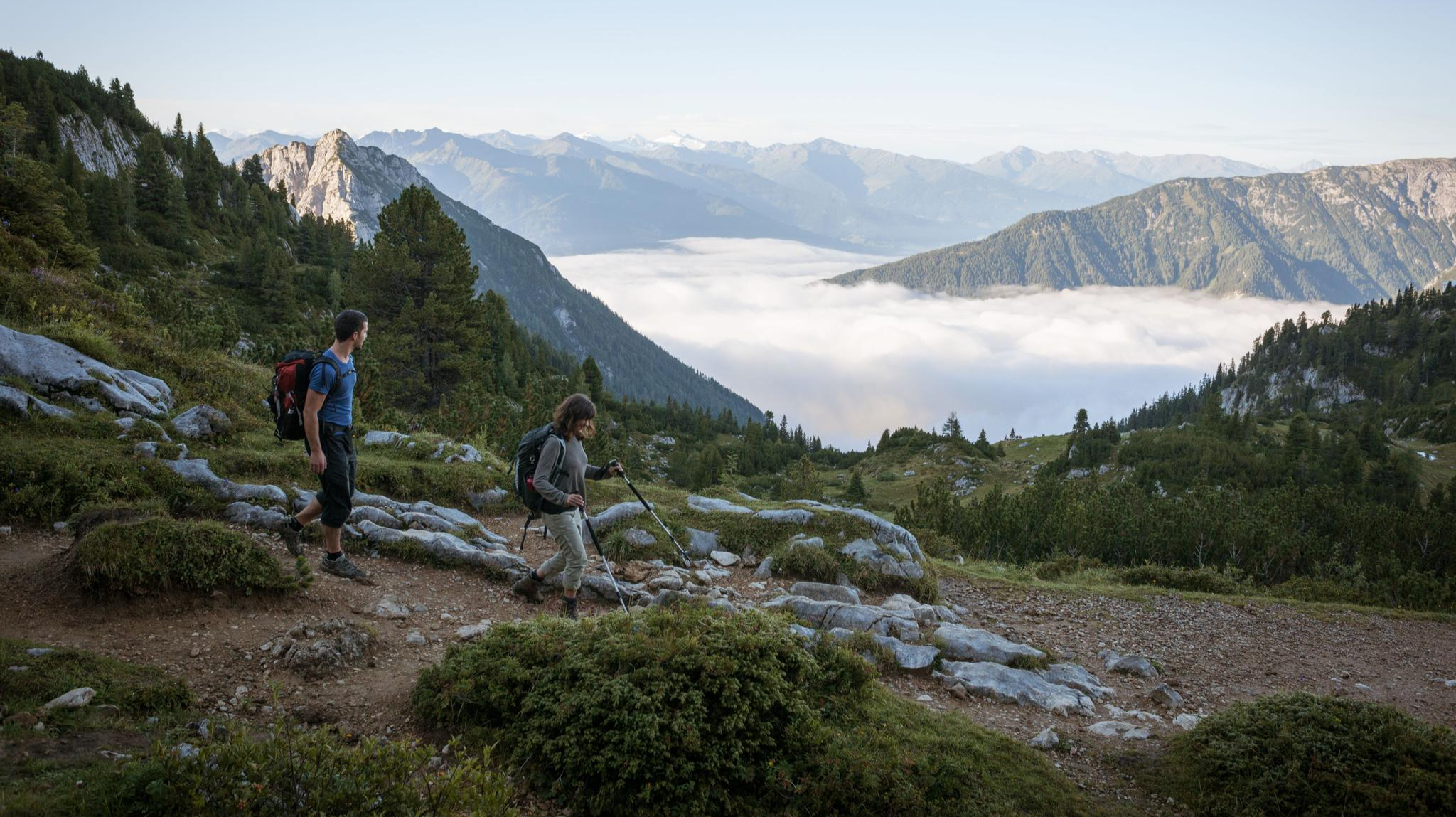
Eagle Walk – Majestic hiking along Tirol's trail

Via Venezia Alpina – hiking across the Alps to the Adriatic Sea
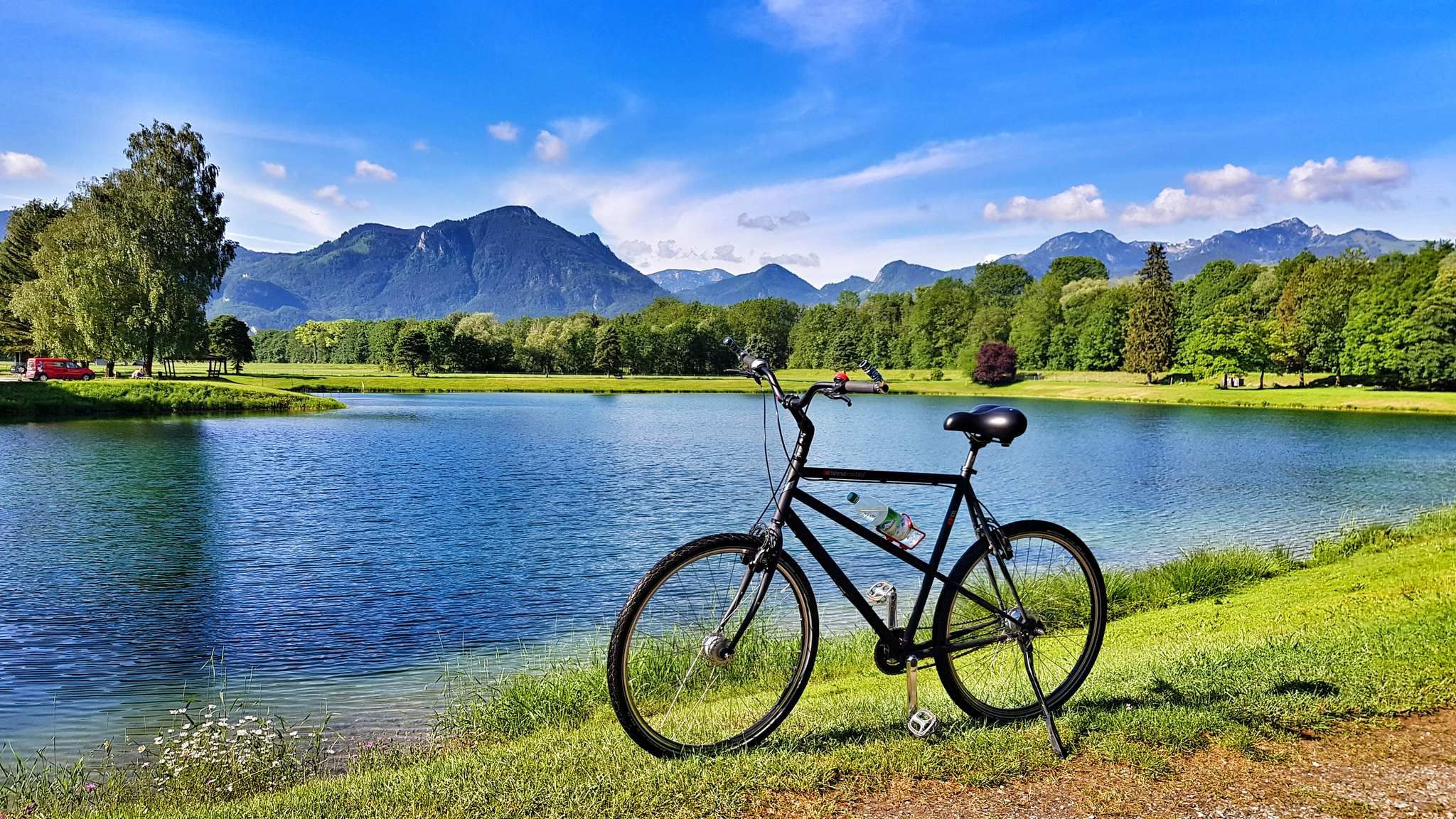
The Inn Cycle Path – From a babbling brook to a mighty river
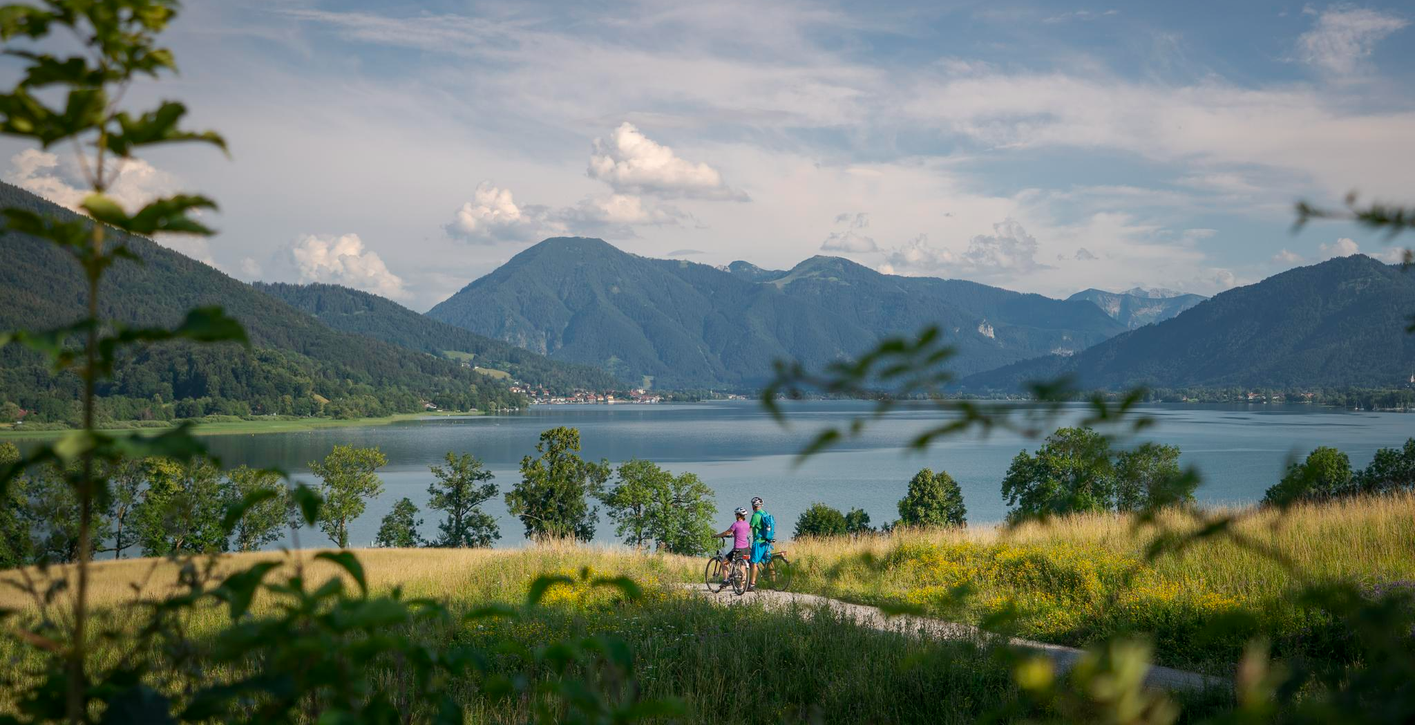
The Munich-Venice Long-Distance Cycle Path – A beautiful Alps crossing
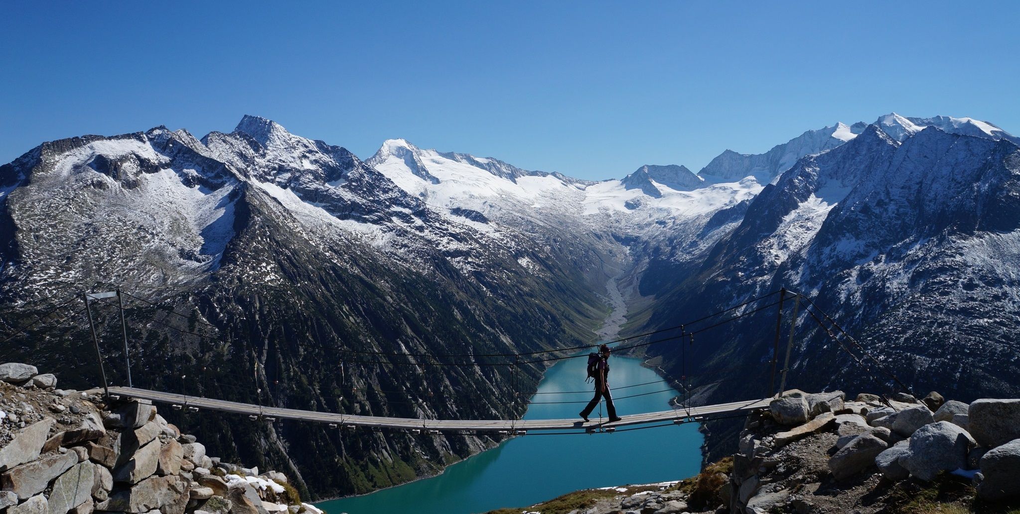
The Peter Habeler loop — an alpine trail around the Olperer
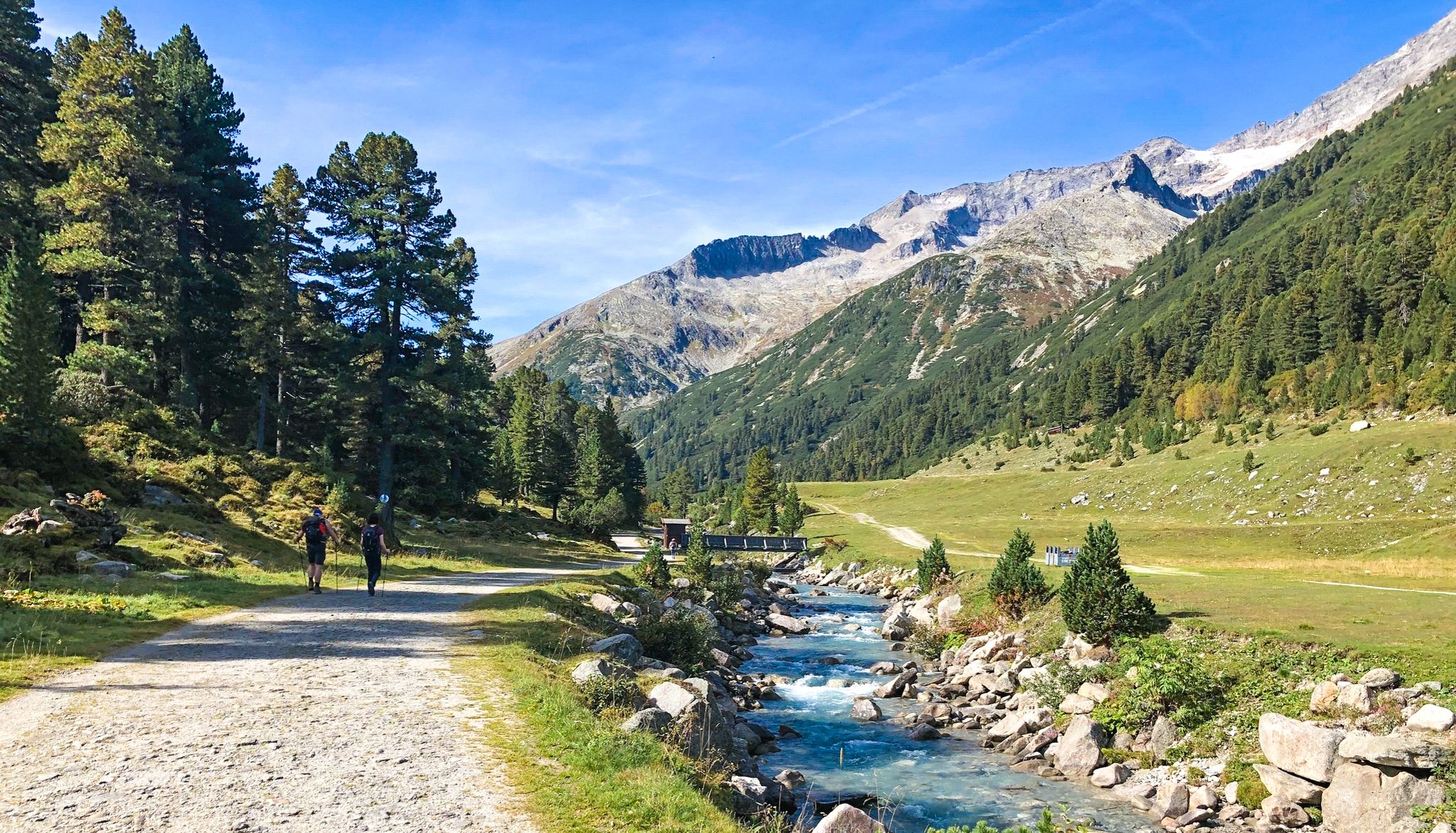
Alpine crossing for pleasure hikers – 7 stages from Lake Tegernsee to Sterzing

The "Dream Path" hiking trail – From Munich to Venice in 28 stages
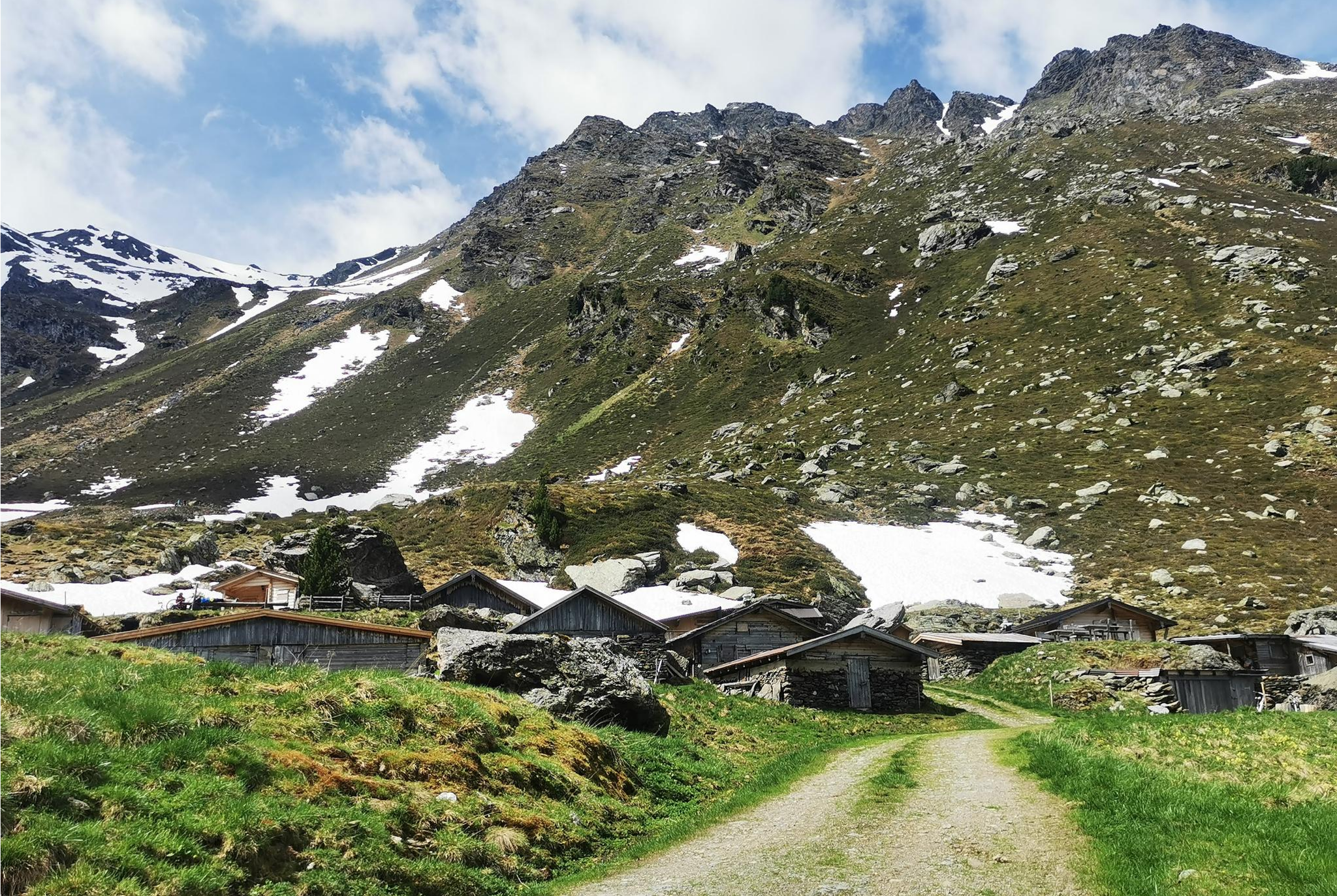
From Alm to Alm – superb hikes in the Hall-Wattens Region
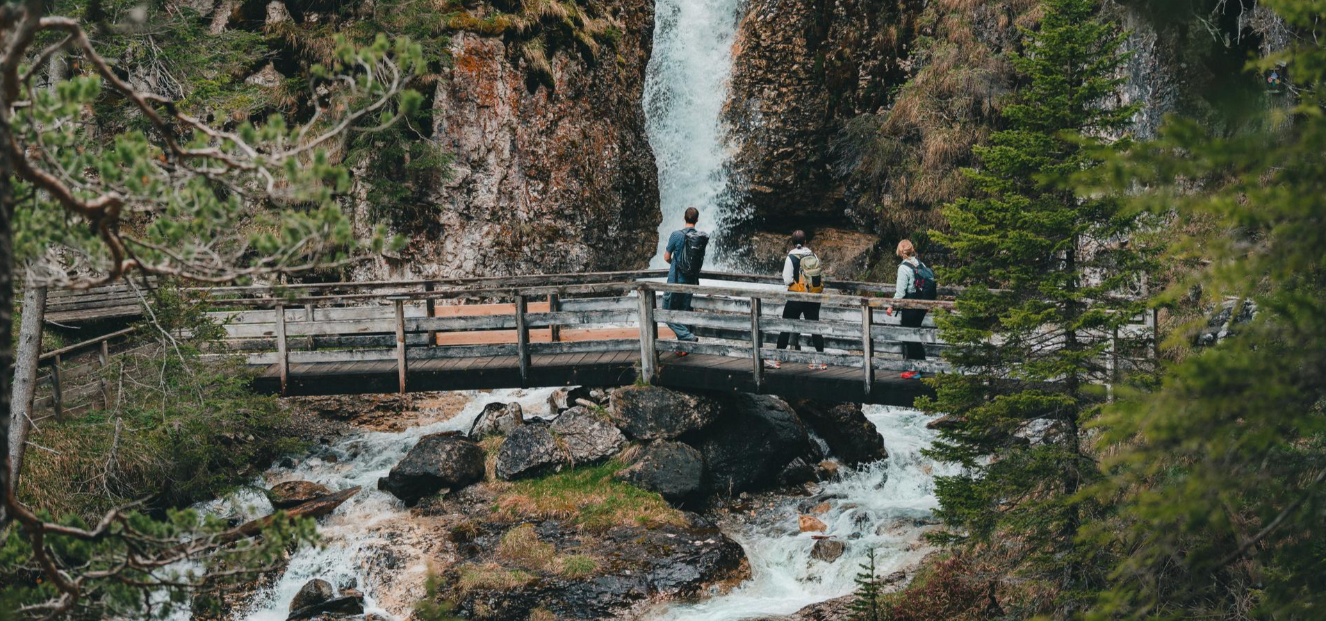
Idyllic mountain lakes and rushing waterfalls – hiking in the Wipptal
Other adventures in the Tuxer Alps


Tips from the Community

The bridge over the Ziller river is interesting in several ways: it is a junction for the Innsbruck-Kufstein and Zillertal cycle paths towards Mayrhofen, it is the border between the districts of Schwaz and Kufstein, and it is part of the Kerschbaumer-Sattel cycle route.
1
0
According to the title of this highlight, it's about the lake, a natural gem that's worth a visit... for a leisurely day as well as for a quick dip in the water. By the way, the village is also beautiful and the church shapes not only the backdrop above the lake, but also the charming village center on the other side.
0
0

The Zillertal Railway bridge also crosses the river, and the cycle path is a small gem of old railway engineering. Caution cyclists: Heading into the valley, the cycle path makes a 90° turn to the left directly at the end of the bridge, then immediately turns sharply and steeply 180° to continue under the bridge and further into the valley. So brake in time!
2
0

Beautiful cycling and walking path. Along the Ziller
1
0
No matter which side you approach it from, the Kerschbaumer Saddle is challenging but also rewards with beautiful scenery.
1
0

Bridge with a bike path. Watch out, steep ramp with a 350° turn, poorly designed.
3
0
Frequently Asked Questions
How many no-traffic road cycling routes are available in the Tuxer Alps?
The Tuxer Alps offer a diverse selection of over two dozen no-traffic road cycling routes. These routes range from moderate to difficult, providing options for various fitness levels. You'll find 3 easy routes, 14 moderate routes, and 6 challenging routes to explore.
What is the best time of year for car-free road cycling in the Tuxer Alps?
The best time for car-free road cycling in the Tuxer Alps is generally from late spring through early autumn (May to October). During these months, mountain passes are typically clear of snow, and the weather is more stable, offering ideal conditions for enjoying the panoramic views and challenging ascents.
Are there any family-friendly no-traffic road cycling routes in the Tuxer Alps?
While many routes in the Tuxer Alps feature demanding ascents, there are options suitable for families looking for less strenuous, car-free cycling. Look for routes that integrate with established cycle paths in the valleys, which often have gentler gradients. The region also offers attractions like the Almspielerei Eggalm and Erlebnisweg Tuxbach, which can be combined with shorter, easier rides.
What kind of elevation challenges can I expect on these no-traffic routes?
The Tuxer Alps are known for their demanding terrain. Many no-traffic road cycling routes feature significant elevation gains, with some climbs reaching gradients of 15-21%. For example, the Zillertal High Alpine Road – Zillertal Cycle Path loop from Kapfing includes over 2,200 meters of ascent over 60 kilometers, making it a challenging ride for experienced cyclists.
Are there any scenic viewpoints or natural attractions along the no-traffic road cycling routes?
Absolutely! The Tuxer Alps are rich in natural beauty. Many routes offer breathtaking panoramic views of the surrounding peaks like Patscherkofel and Glungezer. You can also find impressive natural features such as the Devil’s Bridge over the Tuxbach Gorge or the Schraubenfall (Hintertux). The Zillertal Alps Nature Park also provides stunning backdrops for your rides.
Where can I find amenities like cafes or mountain huts along these routes?
The region is dotted with mountain huts and alpine pastures (Almen) that serve as excellent resting points and offer refreshments. While specific cafes vary by route, many popular cycling areas will have options. For example, the Rastkogel Hut is a well-known stop. Planning your route with komoot allows you to see points of interest and potential stops along the way.
Can I find circular no-traffic road cycling routes in the Tuxer Alps?
Yes, many of the no-traffic road cycling routes in the Tuxer Alps are designed as loops, allowing you to start and end at the same point. A challenging example is the Mayrhofen – Grüne-Wand Hut loop from Laimach Regionalmuseum, which covers over 46 kilometers with significant elevation changes.
What do other road cyclists enjoy most about the no-traffic routes in the Tuxer Alps?
The komoot community highly rates road cycling in the Tuxer Alps, with an average score of 4.6 stars. Reviewers often praise the stunning panoramic views, the challenging yet rewarding ascents, and the opportunity to experience the majestic Alpine scenery away from vehicle traffic. The well-maintained paths and diverse terrain are also frequently highlighted.
Are there any moderate difficulty no-traffic road cycling routes available?
Yes, out of the 23 no-traffic routes, 14 are classified as moderate. These routes offer a good balance of challenge and accessibility. An example is the Kerschbaumer Saddle – Schlitterer Lake loop from Gagering, which covers nearly 30 kilometers with around 747 meters of ascent, providing a rewarding experience without being overly strenuous.
Are there any waterfalls I can see near the no-traffic road cycling routes?
The Tuxer Alps are home to several beautiful waterfalls. You might encounter the Schleier Waterfall, Weitental Falls, or the impressive Talbach Waterfall. The Schraubenfall (Hintertux) is also a notable natural monument featuring multiple cascades.
How can I access these no-traffic road cycling routes using public transport?
The Tuxer Alps region is generally well-connected by public transport, particularly within the Zillertal. Many towns that serve as starting points for routes, such as Mayrhofen or Zell am Ziller, are accessible by train or bus. It's advisable to check local public transport schedules for specific routes and bike carriage policies to plan your journey effectively.
Are there any routes that connect to longer cycling paths?
Yes, the Tuxer Alps region is integrated into longer cycling networks. While this guide focuses on no-traffic routes within the Alps, some routes may connect to or run parallel to established paths like the Inn Cycle Path or sections of the Munich-Venice Long-Distance Cycle Path, offering opportunities for extended tours.
Most popular routes in the Tuxer Alps
Most popular attractions in the Tuxer Alps

Get inspired with the komoot mobile app


Explore more
Browse the best Road cycling routes in other regions.
