The best mountain hikes around Michaelerberg-Pruggern
4.8
(178)
1,596
hikers
49
hikes
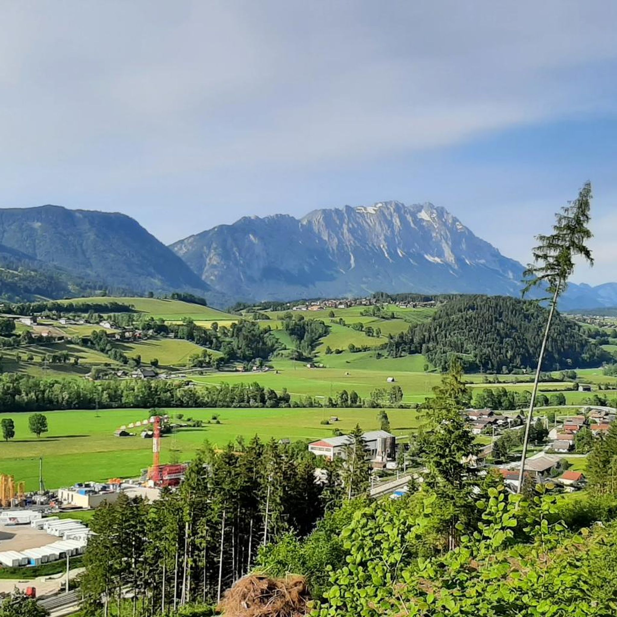
Mountaineering routes around Michaelerberg-Pruggern traverse a diverse alpine landscape in Styria, Austria, situated at an elevation of 700 meters. The region features rugged mountain terrain, including towering peaks like Hochwildstelle (2,747 m) and Stoderzinken (2,048 m). It is characterized by a blend of high alpine ascents, deep gorges, and pristine natural features such as the Riesach Falls and the Styrian Bodensee. This area offers a wide range of mountaineering experiences across its varied topography.
Best mountaineering routes around Michaelerberg-Pruggern
- The…
Last updated: June 26, 2026
5.0
(2)
68
hikers
Hard mountaineering route. Very good fitness required. Mostly accessible paths. Sure-footedness required.
35
hikers
13.0km
07:12
1,280m
1,280m
Hard mountaineering route. Very good fitness required. Sure-footedness, sturdy shoes and alpine experience required.

Sign up for free
5.0
(3)
22
hikers
7.37km
03:24
700m
700m
Moderate mountaineering route. Good fitness required. Mostly accessible paths. Sure-footedness required.
5.0
(1)
22
hikers
Moderate mountaineering route. Good fitness required. Mostly accessible paths. Sure-footedness required.
5.0
(1)
16
hikers
Hard mountaineering route. Good fitness required. Sure-footedness, sturdy shoes and alpine experience required.
Get access to more routes and recommendations from other explorers.
Sign up for free
Already have an account?
Our route recommendations are based on thousands of hikes, rides, and runs completed by other people on komoot.
Start today with a free account
Your next adventure awaits.
Login or Signup
Popular around Michaelerberg-Pruggern
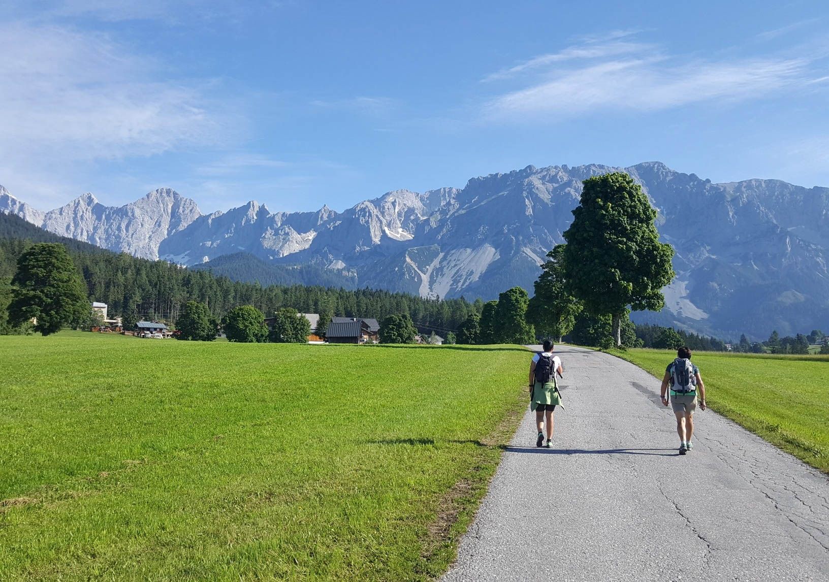
Panorama Trail 100 – Wide views over Austria's Dachstein Massif
Hiking around Michaelerberg-Pruggern
Cycling around Michaelerberg-Pruggern
MTB Trails around Michaelerberg-Pruggern
Road Cycling Routes around Michaelerberg-Pruggern
Running Trails around Michaelerberg-Pruggern
Gravel biking around Michaelerberg-Pruggern
Other adventures around Michaelerberg-Pruggern

Tips from the Community

Unfortunately not open in summer
0
0

From Assach, the ascent is very comfortable up to the Assacher Scharte, followed immediately by a steep, rope-secured section. The summit ridge continues relatively flat, and shortly before the summit, there's another rope-secured section. Overall, every potentially dangerous and exposed section is well secured with ropes and footholds.
0
0

At the crossroads where the path to the summit branches off.
1
0

In summer it is the starting point or transit point for a whole range of hikes, and in winter some ski tours start here. The house is a success all round: nice atmosphere and service, really very good cuisine, breathtaking panorama. (Note: Tuesday is closing day.)
0
0

very easy ski touring mountain with a fantastic view of both Sölkt valleys and beautiful downhill slopes!
1
0
wonderful, wind-protected sun terrace with a friendly host who serves on the terrace even in winter!
0
0

Frequently Asked Questions
How many mountaineering routes are available in Michaelerberg-Pruggern?
Michaelerberg-Pruggern offers a wide selection of mountaineering routes, with over 50 tours documented on komoot. These range from moderate to difficult, catering to various skill levels.
What are the best times of year for mountaineering in Michaelerberg-Pruggern?
The prime seasons for mountaineering in Michaelerberg-Pruggern are spring, summer, and autumn. During these months, the trails are generally clear, offering the best conditions for exploring the region's diverse alpine landscapes.
Are there any circular mountaineering routes in the area?
Yes, there are several circular routes. A popular moderate option is the Bodensee Waterfall – Steirischer Bodensee loop from Politische Expositur Gröbming, which takes you around the scenic Styrian Bodensee. For a more challenging experience, consider the difficult Kammspitze Summit loop from Gröbming, which requires high fitness and alpine experience.
What kind of terrain can I expect on mountaineering routes in Michaelerberg-Pruggern?
The terrain in Michaelerberg-Pruggern is highly varied, featuring rugged mountain landscapes, towering peaks, and striking water features. You'll encounter everything from well-trodden paths to sections requiring sure-footedness and light climbing, especially on higher peaks like Hochwildstelle.
Are there any routes suitable for families or beginners?
While many routes are challenging, there are options for those seeking a less strenuous experience. The region offers one easy mountaineering route and 14 moderate routes. For example, the Kochofen Summit – Michaelerberghaus loop from Michaelerberg is a moderate route that provides a rewarding experience without extreme difficulty.
What natural attractions can I see along the mountaineering routes?
The region is rich in natural wonders. You can explore the dramatic Great Riesach Falls, part of the 'Wild Waters' theme trail, which also features the Höllschlucht Gorge and a 50-meter suspension bridge. The scenic Styrian Bodensee is another highlight, offering a beautiful backdrop for hikes.
Are there any notable mountain peaks to conquer in the area?
Absolutely. Michaelerberg-Pruggern is home to several impressive peaks. Hochwildstelle (2,747 m) is the highest summit entirely within Styria, offering breathtaking hikes with sections of light climbing. Pleschnitzzinken (2,112 m) is popular for summer summit hikes, while Stoderzinken (2,048 m) provides magnificent views and is accessible via an alpine road. For those seeking a via ferrata, Krahbergzinken (2,342 m) features one for its final ascent.
What do other mountaineers enjoy most about the routes in Michaelerberg-Pruggern?
The mountaineering routes in Michaelerberg-Pruggern are highly rated by the komoot community, with an average score of 4.8 stars from over 180 reviews. Mountaineers often praise the diverse and rugged mountain landscapes, the challenging ascents, and the stunning panoramic views from the summits.
Are there any places to stop for refreshments or traditional food along the trails?
Yes, the region features numerous rustic mountain huts that serve as welcoming stops. Huts like Tagalm, Perneralm, and Schladminger Alm offer regional delicacies. Tagalm, for instance, is a notable refreshment point before ascending Styria's highest mountain.
Are there any specific safety considerations for mountaineering in this region?
Many routes in Michaelerberg-Pruggern, especially those to peaks like Hochwildstelle, Pleschnitzzinken, and Kammspitze, require sure-footedness, a head for heights, and often a high level of fitness and alpine experience. Always be prepared for changing weather conditions in the mountains and ensure you have appropriate gear.
Can I access any of the summits using a gondola or other transport?
Yes, for those looking for panoramic views with less strenuous ascent, the Planai Summit Cross is accessible by gondola, offering magnificent vistas without a full mountaineering effort.
Are there any other attractions nearby that complement a mountaineering trip?
Beyond the trails, you can visit the Stoderzinken summit cross for impressive views. For an adventure, the Adventure Park at Stoderzinken offers a high-ropes course and the largest zip line in the Alps. The nearby Dachstein Glacier also provides unique alpine attractions like the 'Dachstein Suspension Bridge' and 'Sky Walk'.
Most popular routes around Michaelerberg-Pruggern
Most popular attractions around Michaelerberg-Pruggern

Get inspired with the komoot mobile app


Explore more
Browse the best Mountain Hikes & Routes in other regions.
