The best cycling routes around Michaelerberg-Pruggern
4.6
(149)
1,641
riders
23
rides
Touring cycling routes around Michaelerberg-Pruggern are situated in the Schladming-Dachstein region of Austria, at an elevation of 700 meters above sea level. The area extends along the northern slopes of the Kochofen to the Galsterberg, offering impressive mountain views including the Dachstein Mountains and the Grimming. The landscape features scenic river valleys, such as the Enns River, and a mix of paved surfaces suitable for touring.
Best touring cycling routes around Michaelerberg-Pruggern
- The most popular touring cycling route is Pichl…
Last updated: July 10, 2026
4.8
(13)
249
riders
58.1km
05:14
1,670m
1,670m
Hard bike ride. Very good fitness required. Mostly paved surfaces. Suitable for all skill levels.
4.6
(34)
208
riders
71.5km
04:29
360m
360m
Moderate bike ride. Good fitness required. Mostly paved surfaces. Suitable for all skill levels.

Sign up for free
5.0
(9)
201
riders
37.6km
03:07
1,180m
1,180m
Hard bike ride. Very good fitness required. Mostly paved surfaces. Suitable for all skill levels.
4.5
(15)
129
riders
65.7km
04:30
890m
890m
Hard bike ride. Very good fitness required. You may need to push your bike for some segments of this route.
5.0
(6)
123
riders
78.2km
05:34
1,460m
1,460m
Hard bike ride. Very good fitness required. Mostly paved surfaces. Suitable for all skill levels.
Get access to more routes and recommendations from other explorers.
Sign up for free
Already have an account?
Our route recommendations are based on thousands of hikes, rides, and runs completed by other people on komoot.
Start today with a free account
Your next adventure awaits.
Login or Signup
Popular around Michaelerberg-Pruggern
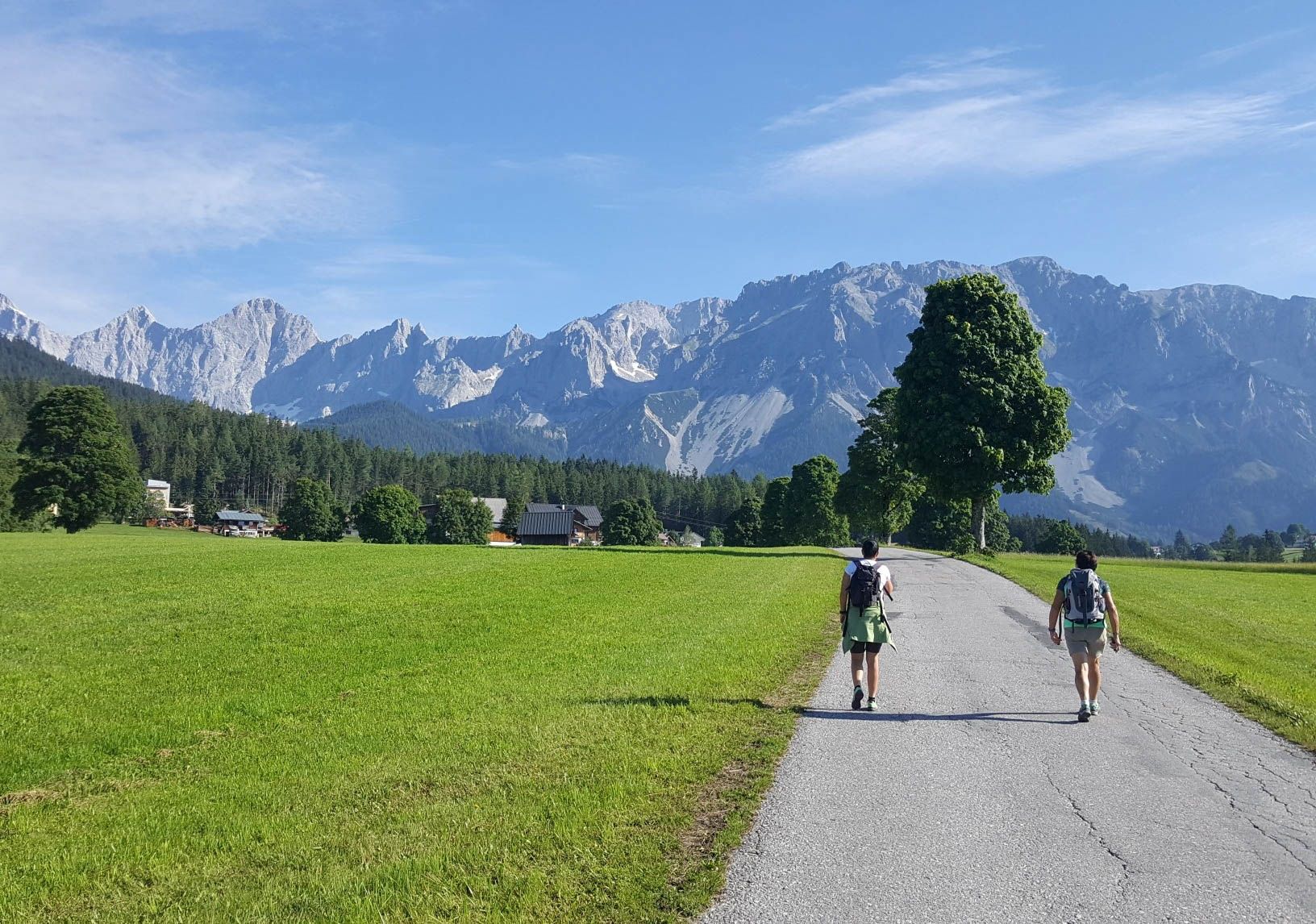
Panorama Trail 100 – Wide views over Austria's Dachstein Massif
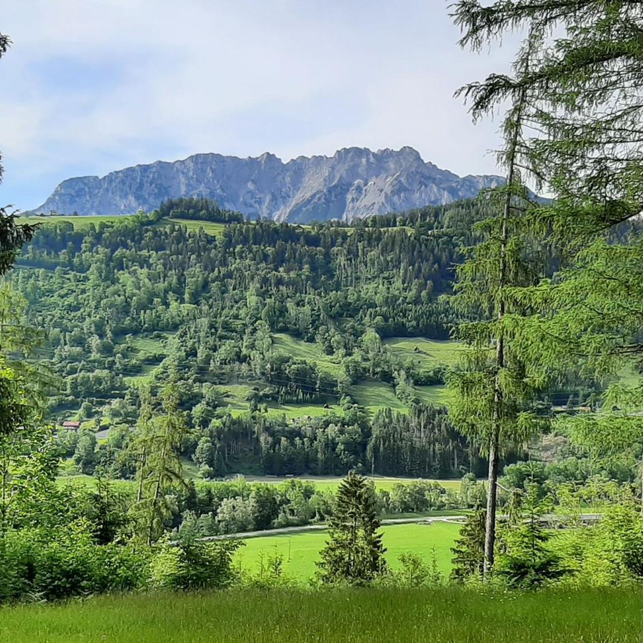
Hiking around Michaelerberg-Pruggern
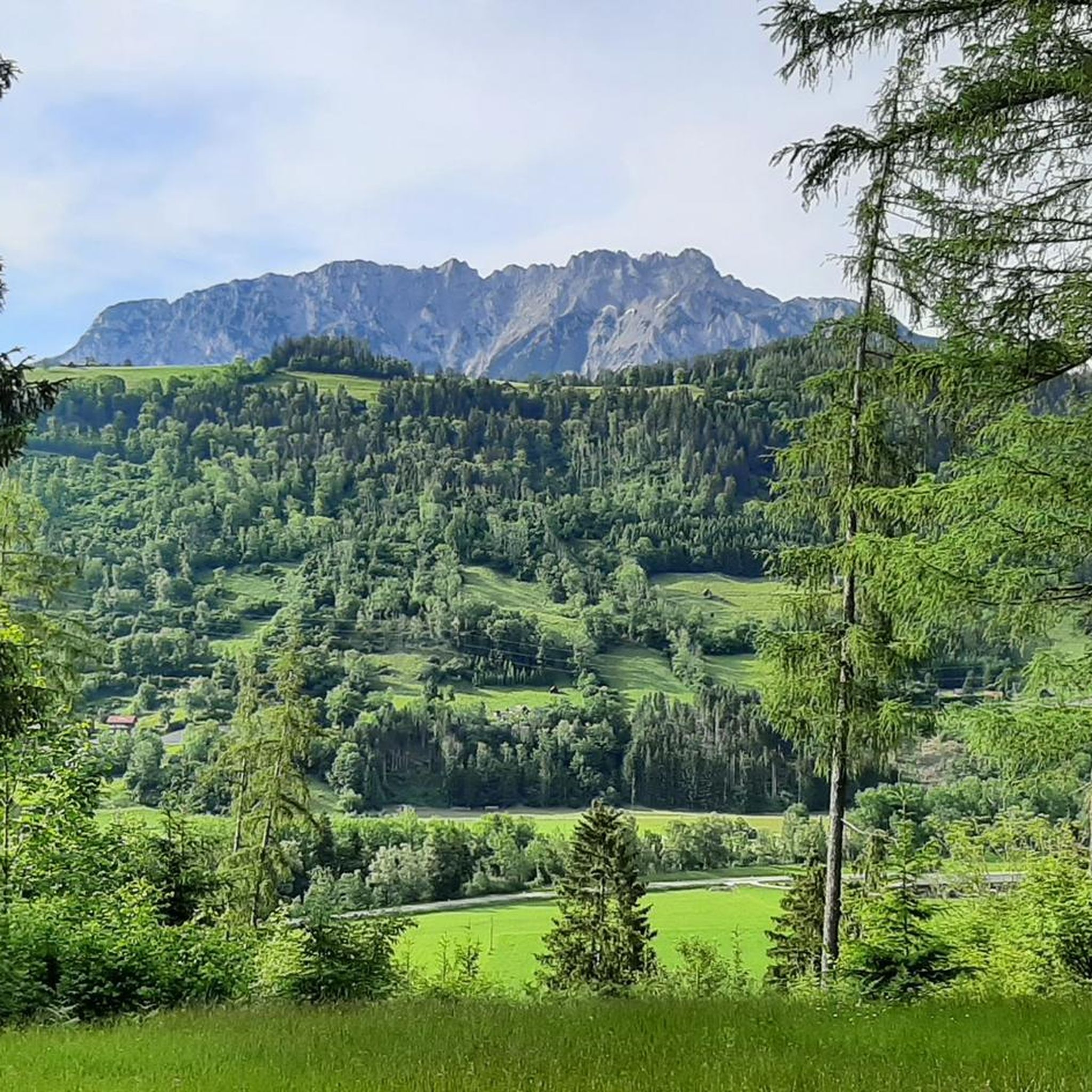
MTB Trails around Michaelerberg-Pruggern
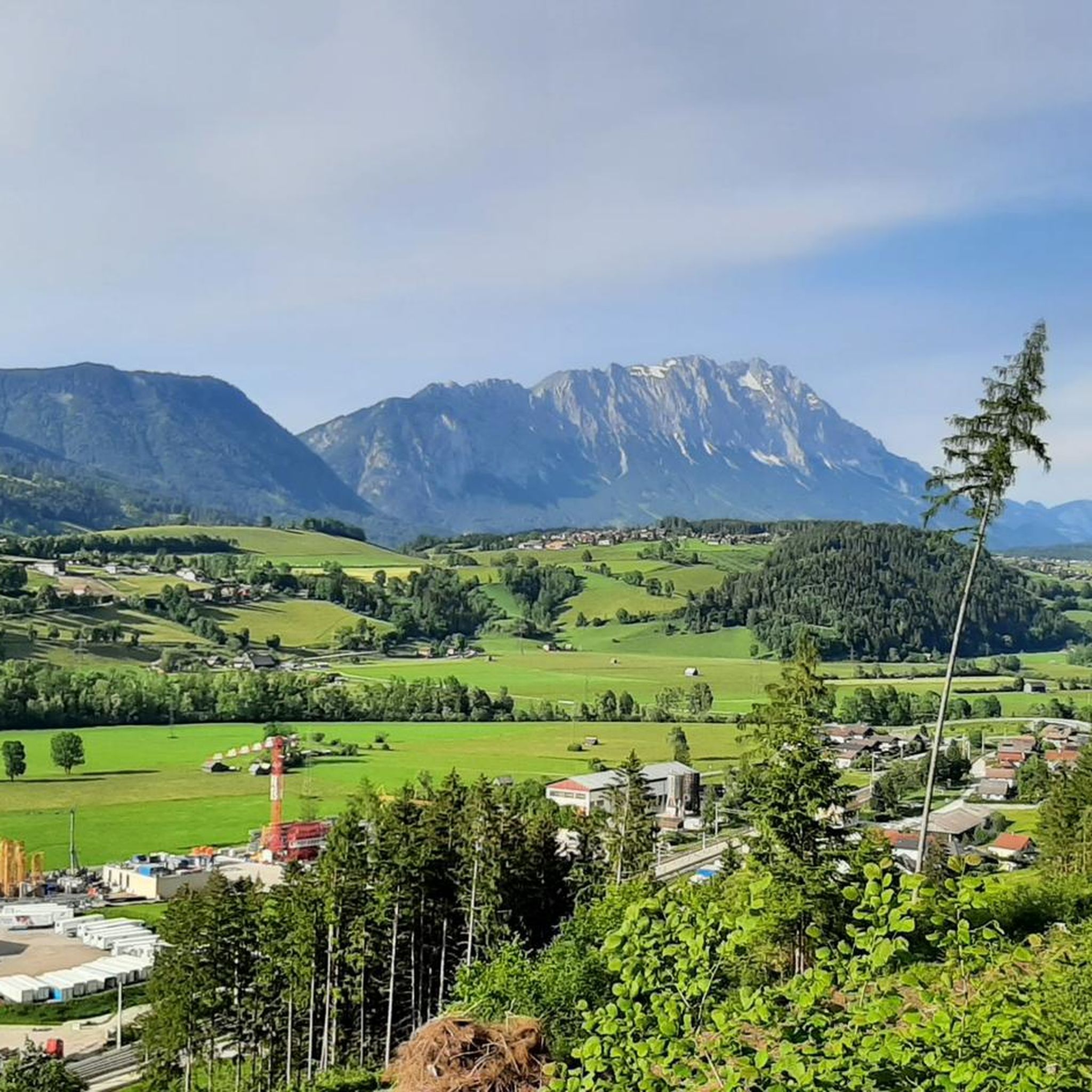
Road Cycling Routes around Michaelerberg-Pruggern
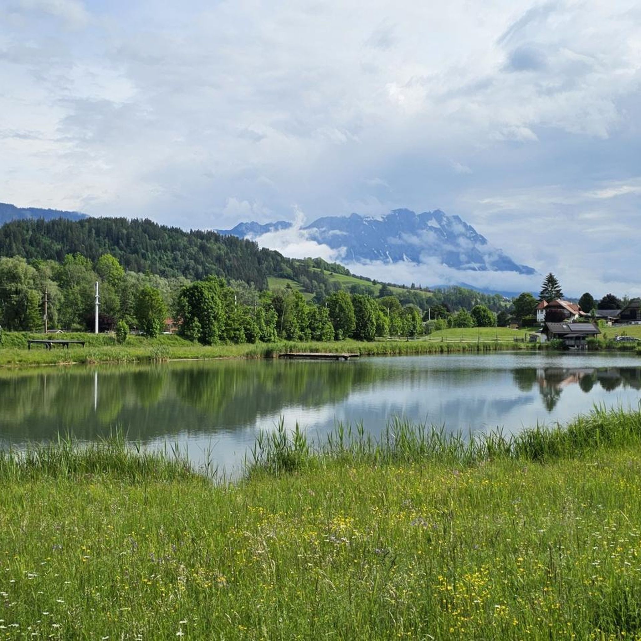
Running Trails around Michaelerberg-Pruggern
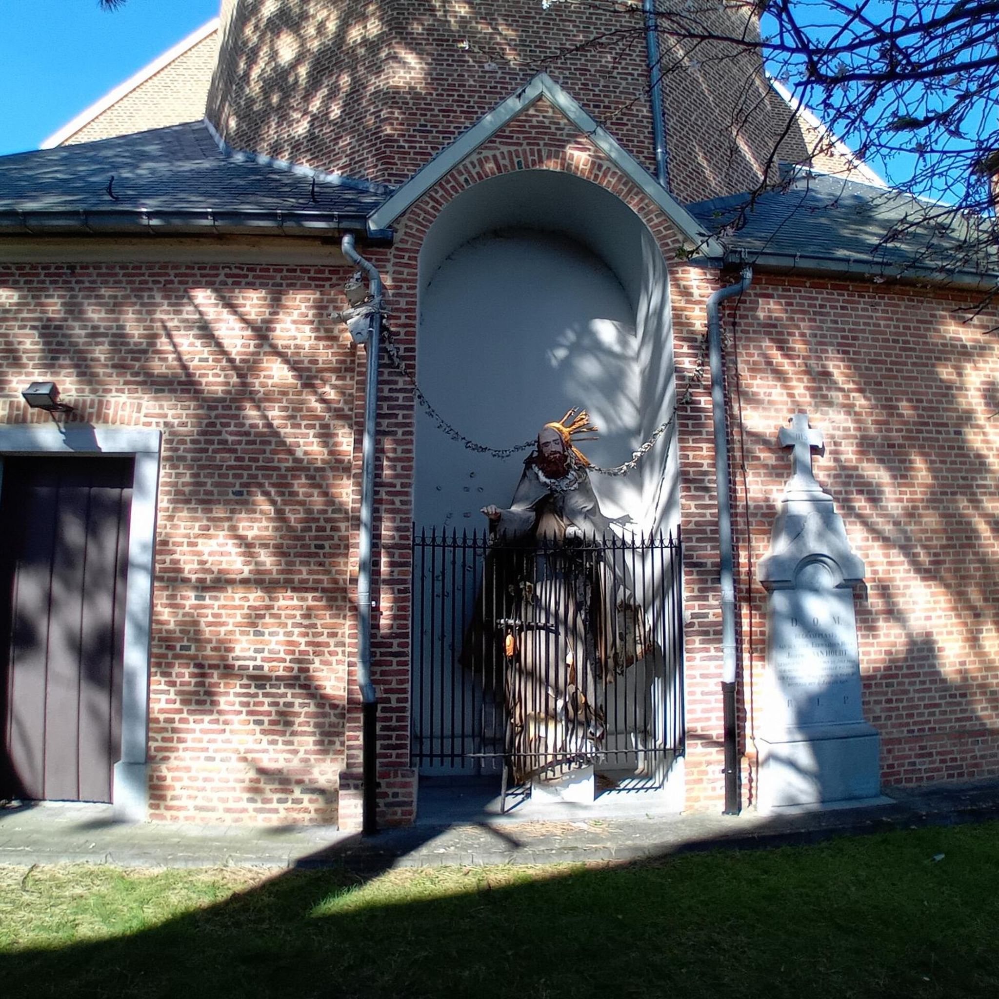
Mountain Hikes around Michaelerberg-Pruggern
Gravel biking around Michaelerberg-Pruggern
Other adventures around Michaelerberg-Pruggern

Tips from the Community


To get from Kleinsölk to the Großsölktal valley, you should not go through the Strubschlucht as planned, but rather from Hinterwald via the valley path to the power plant dam, cross it, and follow this path to the power plant in Großsölk. There are 2 gates to open and close again, but the path is a bit bad at the beginning, but then it gets quite good.
0
0

Stoderzinken with a visit to the Kicherl is a must in Gröbming
0
0

The Rossfeld parking area on the Stoderzinken mountain is a great starting point for your hikes, located directly on the toll road, the Stoderzinken Panorama Road. If you're coming from Gröbming, it's only about a 13-kilometer drive. The parking area is right next to the popular Rosemi Alm mountain hut, a perfect spot for a break. From here, you can immediately set off on the trail to the Stoderzinken summit, where a magnificent view awaits you! The Friedenskircherl (Peace Chapel) is also nearby and invites you to a moment of quiet reflection. The surrounding area is quite picturesque and full of beautiful hiking trails, ideal for all ages. Don't forget to pack plenty of provisions, as nature has a lot to offer! So, lace up your hiking boots and discover the stunning mountain scenery around the Stoderzinken!
1
0

View with heart ❤️
0
0
Simply great 🤩
1
0

The Enns Cycle Path is approximately 260 km long from Radstadt to Linz.
0
0
Frequently Asked Questions
How many touring cycling routes are available in Michaelerberg-Pruggern?
There are over 25 touring cycling routes in Michaelerberg-Pruggern, offering a wide range of options for different skill levels and preferences. These include 7 easy, 4 moderate, and 15 difficult routes.
What is the best time of year for touring cycling in Michaelerberg-Pruggern?
The best time for touring cycling in Michaelerberg-Pruggern is typically during the warmer months, from late spring to early autumn. This period offers pleasant weather conditions for exploring the scenic river valleys and alpine landscapes. The region's bike-friendly amenities, like e-bike charging stations, are also fully operational during this time.
Are there easy touring cycling routes for beginners or casual riders?
Yes, Michaelerberg-Pruggern offers 7 easy touring cycling routes suitable for beginners or those looking for a more relaxed ride. These routes often follow the scenic Enns River, providing picturesque journeys through valleys and charming villages with mostly paved surfaces.
Are there any circular touring cycling routes in the area?
Many of the touring cycling routes in Michaelerberg-Pruggern are designed as loops, allowing you to start and end in the same location. For example, the Pichl Bathing Lake – Enns River loop from Gröbming is a popular circular route that follows the Enns River.
What natural attractions can I see while cycling in Michaelerberg-Pruggern?
While cycling, you can encounter impressive natural features. The region is known for its stunning mountain views, including the Dachstein Mountains and the Grimming. You might also consider visiting the truly impressive Great Riesach Falls, a natural monument within the Schladming Tauern, which is part of the 'Wild Waters' theme trail.
Are there any specific viewpoints along the touring cycling routes?
Yes, the mountainous terrain offers numerous viewpoints. The Stoderzinken summit cross, accessible via an alpine road, provides wonderful views from its 2048-meter summit. The Krahbergzinken Summit (2,342 m) also offers unforgettable panoramic views, though it requires a head for heights if you choose to hike to the very top.
What do other touring cyclists say about the routes in Michaelerberg-Pruggern?
The touring cycling routes in Michaelerberg-Pruggern are highly rated by the komoot community, with an average score of 4.6 stars from over 160 reviews. More than 1800 touring cyclists have used komoot to explore the varied terrain, often praising the scenic river valleys, alpine scenery, and well-maintained paths.
Are there family-friendly touring cycling options?
Michaelerberg-Pruggern offers routes suitable for families, especially the easier paths along the Enns River. Additionally, the Galsterberg area is a popular family destination in summer, where visitors can observe marmots on the Galsterberger Alm, making it a great stop during a family cycling trip.
Can I bring my dog on the touring cycling routes?
While many outdoor areas in Austria are dog-friendly, it's always best to check local regulations for specific routes or protected areas. Generally, dogs should be kept on a leash, and you should ensure they are comfortable with the distance and terrain. Always carry water for your pet and clean up after them.
Are there options for longer touring cycling routes?
Yes, for those seeking longer rides, Michaelerberg-Pruggern offers several extensive routes. The Riverside path along the Enns – Bridge over the Enns loop from Pruggern is a challenging route spanning over 78 km, providing a significant distance for experienced touring cyclists.
What kind of terrain can I expect on the touring cycling routes?
The terrain in Michaelerberg-Pruggern is diverse, ranging from mostly paved surfaces along river valleys to more challenging ascents into alpine areas. You can expect a mix of flat sections, rolling hills, and significant climbs, especially on routes that venture towards the mountains. The region is situated at an elevation of 700 meters above sea level, extending along the northern slopes of the Kochofen to the Galsterberg.
Are there places to eat or rest along the routes?
Yes, the region is equipped to support cyclists. You'll find charming villages along the Enns River where you can stop for refreshments. In the alpine areas, rustic mountain huts like Tagalm, Perneralm, and Schladminger Alm offer regional delicacies and a chance to unwind after activities.
Is public transport or parking available near the touring cycling trailheads?
While specific details for every trailhead are not available, the Schladming-Dachstein region is generally well-connected. Many villages and towns, including Pruggern and Gröbming, offer public transport options and designated parking areas, making it convenient to access the cycling routes. It's advisable to check local transport schedules and parking availability for your chosen starting point.
Are there challenging touring cycling routes for experienced riders?
Absolutely. Michaelerberg-Pruggern features 15 difficult touring cycling routes designed for experienced riders. These routes often include significant elevation gains and cover longer distances, such as the Gröbming – Bridge over the Enns loop from Gröbming, which features over 1600 meters of elevation gain.
Most popular routes around Michaelerberg-Pruggern
Most popular attractions around Michaelerberg-Pruggern

Get inspired with the komoot mobile app


Explore more
Browse the best Cycling routes in other regions.
