The best running trails around Twyford
4.3
(11)
141
runners
18
runs
Jogging routes around Twyford traverse a landscape characterized by rolling hills, open fields, and areas of downland. The region features gentle ascents and descents, with routes often following established paths through agricultural land and along river valleys. This terrain offers varied surfaces suitable for running, from compacted earth to gravel trails.
Best jogging routes around Twyford
- The most popular jogging route is View of the Green Field loop from Shawford Down, a 6.0 miles (9.6 km) trail that takes…
Last updated: October 4, 2026
5.0
(9)
25
runners
9.59km
01:05
110m
110m
Moderate run. Good fitness required. Mostly paved surfaces. Suitable for all skill levels.
18
runners
7.62km
00:54
90m
90m
Moderate run. Good fitness required. Mostly paved surfaces. Suitable for all skill levels.

14
runners
Moderate run. Good fitness required. Mostly paved surfaces. Suitable for all skill levels.
8
runners
4.09km
00:25
20m
20m
Easy run. Great for any fitness level. Mostly paved surfaces. Suitable for all skill levels.
10
runners
Moderate run. Good fitness required. Mostly paved surfaces. Suitable for all skill levels.
Get access to more routes and recommendations from other explorers.
Already have an account?
Our route recommendations are based on thousands of hikes, rides, and runs completed by other people on komoot.
Start today with a free account
Your next adventure awaits.
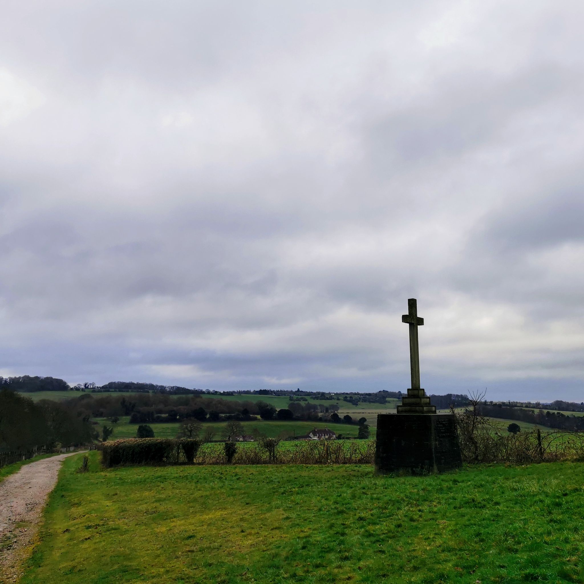
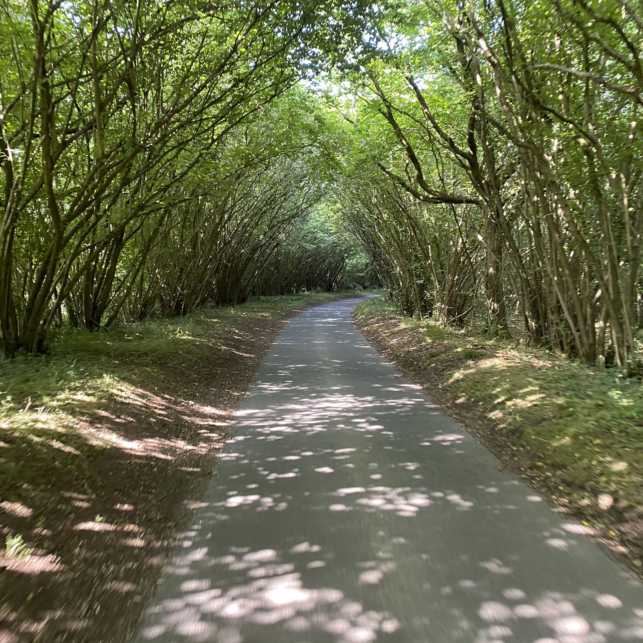
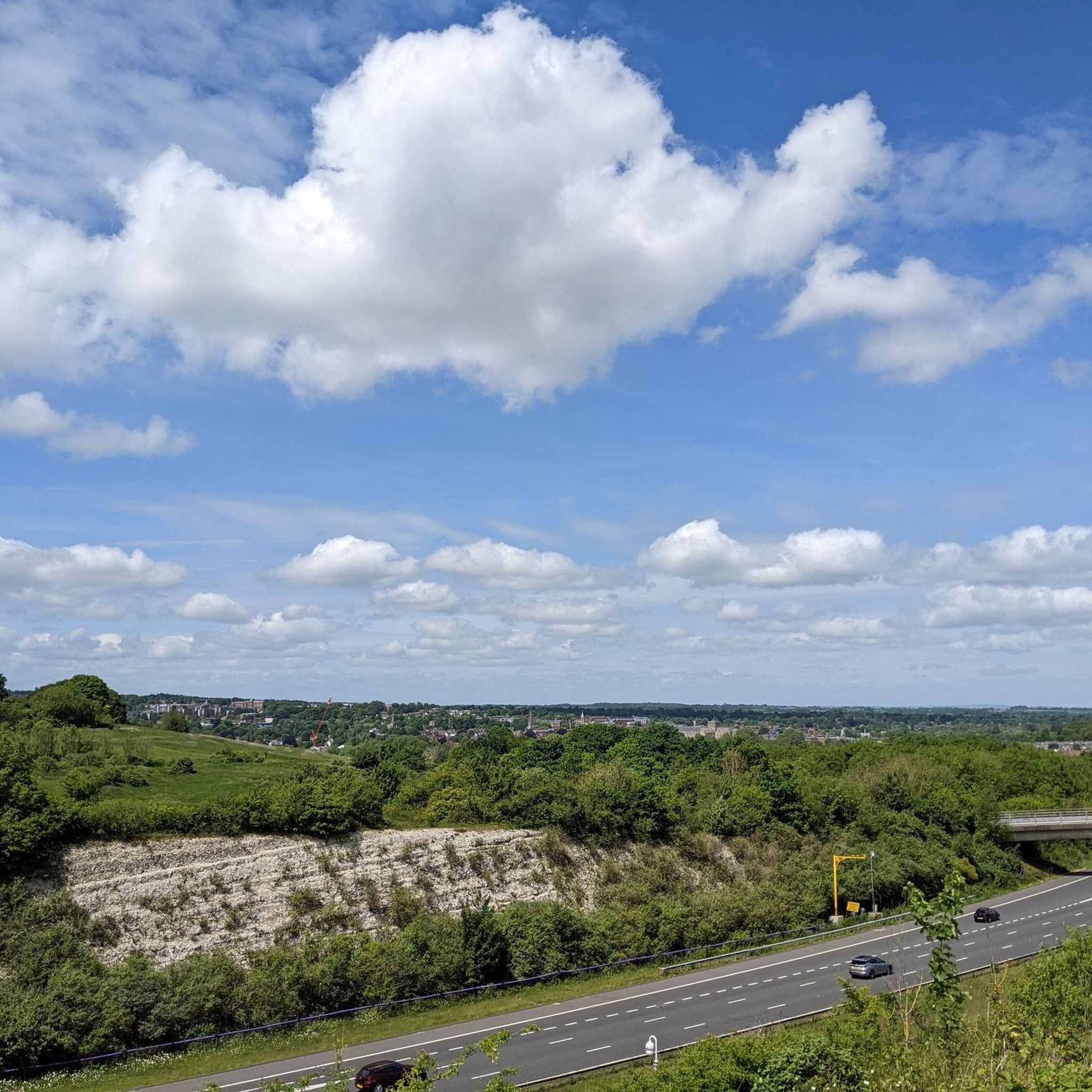
Tips from the Community

If you’re looking for a peaceful escape with some of the best views in Hampshire, St. Catherine's HillClick to open side panel for more information is a fantastic spot. Managed by the Wildlife Trust, this 58-hectare chalk grassland sits just on the edge of Winchester and offers a mix of ancient history and quiet nature that feels worlds away from the city center. The "Climb": To get to the summit, you’ll likely tackle a long set of over 100 wooden steps. It’s a bit of a workout, but the reward is a 360-degree panorama of Winchester Cathedral, the surrounding water meadows, and the rolling South Downs. The Mizmaze: Near the top, tucked beside a clump of beech trees, is a rare 17th-century turf labyrinth. Unlike a traditional maze with dead ends, this is a single, winding path cut into the chalk. It’s a local tradition to "toll the labyrinth" by walking the entire 600-meter path to the center. Iron Age Roots: The hill is actually an ancient hill fort. As you wander around the top, you can still clearly see the massive earthwork banks and ditches that were dug over 2,500 years ago. Wildlife Spotting: If you visit in the summer, the hillsides are famously covered in wildflowers and at least 25 species of butterflies, including the bright blue Chalkhill Blue. You might even run into the "resident" British White cattle used for conservation grazing. Pro-tips for a relaxed visit: Parking: The small car park on Garnier Road is the most convenient, but it fills up fast on weekends. A good alternative is using the St. Catherine’s Park & Ride and taking the scenic footpath along the river to reach the base of the hill. Coffee & Cake: At the bottom of the hill on Garnier Road, check out The Handlebar Café. It’s a cool, cycle-themed social enterprise made from old shipping containers that serves great coffee and snacks—perfect for a post-climb treat. Accessibility: If the steps sound a bit much, there is a much gentler, flatter route that winds around the back of the hill via "Plague Pits Valley."
0
0
St Catherine's Hill is a prominent chalk downland hill on the outskirts of Winchester, notable for its layered historical and ecological importance. Now a biological Site of Special Scientific Interest (SSSI) managed as a nature reserve, its summit is ringed by the impressive earthworks of a univallate Iron Age hillfort dating back over 2,000 years. The top is marked by a distinctive copse of beech trees, known as 'The Clump', which contains the scant ruins of the 12th-century St Catherine's Chapel, while the hillside features a turf-cut labyrinth known as the Miz-Maze; the entire site provides spectacular views over the city, the Itchen Valley, and supports a rich variety of wildflowers and butterflies, including the protected Chalkhill Blue.
1
0
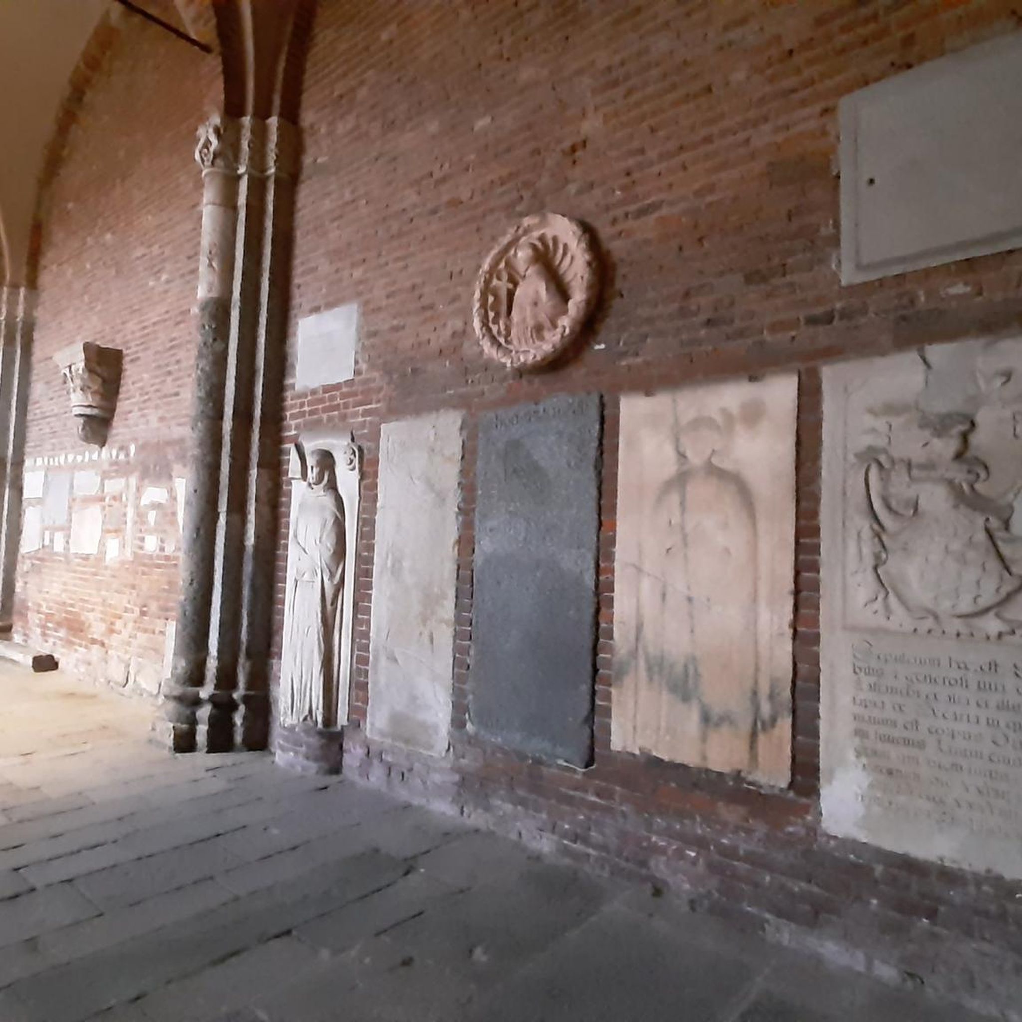
Stop and find a place to to take a good pic of the Church along this section. The Hospital of St Cross and Almshouse of Noble Poverty in Winchester is one of England's oldest continuing charitable institutions, founded around 1132 by Bishop Henry of Blois to provide relief for thirteen poor men and food for many others, a mission later expanded by Cardinal Henry Beaufort. Renowned for its beautiful medieval and Norman architecture, including a magnificent church described as a "cathedral in miniature," it functions today as an almshouse providing accommodation for around 25 elderly men, known as the Brothers, who wear traditional black or claret gowns. Visitors often seek the traditional Wayfarer's Dole, a small cup of beer and a piece of bread offered to any traveller upon request, continuing an ancient tradition of hospitality.
1
0


This pub has a big garden and we stopped there many times for a break during a long walk through the surrounding countryside. Food and drinks all great.
1
0

Great view of St Cross along this pathway for a good 200m
1
0
Frequently Asked Questions
How many running routes are available around Twyford?
There are over 20 running routes available around Twyford, offering a variety of options for different skill levels and preferences.
Are there any easy running paths suitable for beginners in Twyford?
Yes, Twyford offers several easy running paths. For instance, the Running loop from Otterbourne is an easy 4.1 km (2.5 miles) route with minimal elevation gain, perfect for those new to running or looking for a relaxed jog.
What kind of terrain can I expect on jogging routes in the Twyford area?
Jogging routes around Twyford typically traverse a landscape of rolling hills, open fields, and downland. You'll find paths through agricultural land and along river valleys, with varied surfaces from compacted earth to gravel trails. The region features gentle ascents and descents.
Are there any circular running routes in Twyford?
Many of the running routes in Twyford are circular. A popular option is the View of the Green Field loop from Shawford Down, which is 9.6 km (6.0 miles) and offers scenic views across open fields and downland.
Can I find running routes that are less crowded in Twyford?
While some popular routes can see more activity, many paths through the open countryside and village-to-village connections offer a quieter experience. Exploring routes slightly off the main trails, especially during off-peak hours, can provide a more serene run.
What do other runners enjoy most about jogging in Twyford?
The running routes in Twyford are highly rated by the komoot community, with an average score of 4.4 stars from over 10 reviews. Runners often praise the varied terrain, scenic views of open fields and downland, and the peaceful village connections.
Are there any notable landmarks or attractions along the running trails near Twyford?
Yes, the area around Twyford is rich with points of interest. You might encounter historical sites like Wolvesey Castle (Old Bishop's Palace) or natural features such as Compton Lock — wild swimming spot. Some routes, like the St. Catherine's Hill – St Catherine's Hill loop from Shawford Down, specifically include notable hills and varied scenery.
Are there any long-distance running trails available in Twyford?
While most routes are moderate in length, you can combine trails for longer runs. The St Andrew's Church, Owslebury – St. Mary's Church, Twyford loop from Shawford Down is a good starting point for a longer run at 10.2 km (6.3 miles), leading through rural villages and open countryside.
Are there running routes in Twyford that offer views of the Hampshire Downs?
Absolutely. Many routes provide expansive views of the surrounding landscape. For example, the View of the Hampshire Downs – View of the Green Field loop from Shawford Down is a 9.9 km (6.2 miles) route specifically designed to showcase these scenic vistas.
What is the best season for running in Twyford?
Twyford's landscape of rolling hills and open fields makes it enjoyable for running throughout much of the year. Spring and autumn offer pleasant temperatures and vibrant scenery. Summer can be beautiful, but runners should be mindful of sun exposure on open paths. Winter runs are also possible, though trails may be muddier.
Are there any running routes near Twyford that pass by lakes or ponds?
Yes, the region has several beautiful water features. While not directly on every running path, highlights like Avington Park Mansion and Lake or Bishops Waltham Pond are within the broader area and can be incorporated into longer exploration or visited separately.
Most popular attractions around Twyford

Get inspired with the komoot mobile app


Explore more
Browse the best Running Trails & Routes in other regions.
