The best walks and hikes around Twyford
4.5
(1449)
13,811
hikers
31
hikes
Hikes around Twyford explore the Hampshire countryside, characterized by a mix of woodlands, open fields, and gentle hills. The landscape is defined by the clear chalk stream of the River Itchen, which provides serene waterside walking routes. The area's modest elevations, such as Twyford Down, offer rewarding views over the surrounding rural scenery.
Best hiking trails around Twyford
- The most popular hiking route is Hockley Viaduct and Catherine's Hill loop from Hockley Link — South Downs National Park, a…
Last updated: October 10, 2026
2.5
(2)
28
hikers
5.34km
01:28
90m
90m
Easy hike. Great for any fitness level. Easily-accessible paths. Suitable for all skill levels.
4.5
(8)
30
hikers
13.6km
03:43
210m
210m
Moderate hike. Good fitness required. Mostly accessible paths. Sure-footedness required.

4.8
(58)
367
hikers
29.0km
07:50
380m
380m
Hard hike. Very good fitness required. Easily-accessible paths. Suitable for all skill levels.
5.0
(4)
42
hikers
Moderate hike. Good fitness required. Easily-accessible paths. Suitable for all skill levels.
35
hikers
5.17km
01:20
30m
30m
Easy hike. Great for any fitness level. Easily-accessible paths. Suitable for all skill levels.
Get access to more routes and recommendations from other explorers.
Already have an account?
Our route recommendations are based on thousands of hikes, rides, and runs completed by other people on komoot.
Start today with a free account
Your next adventure awaits.
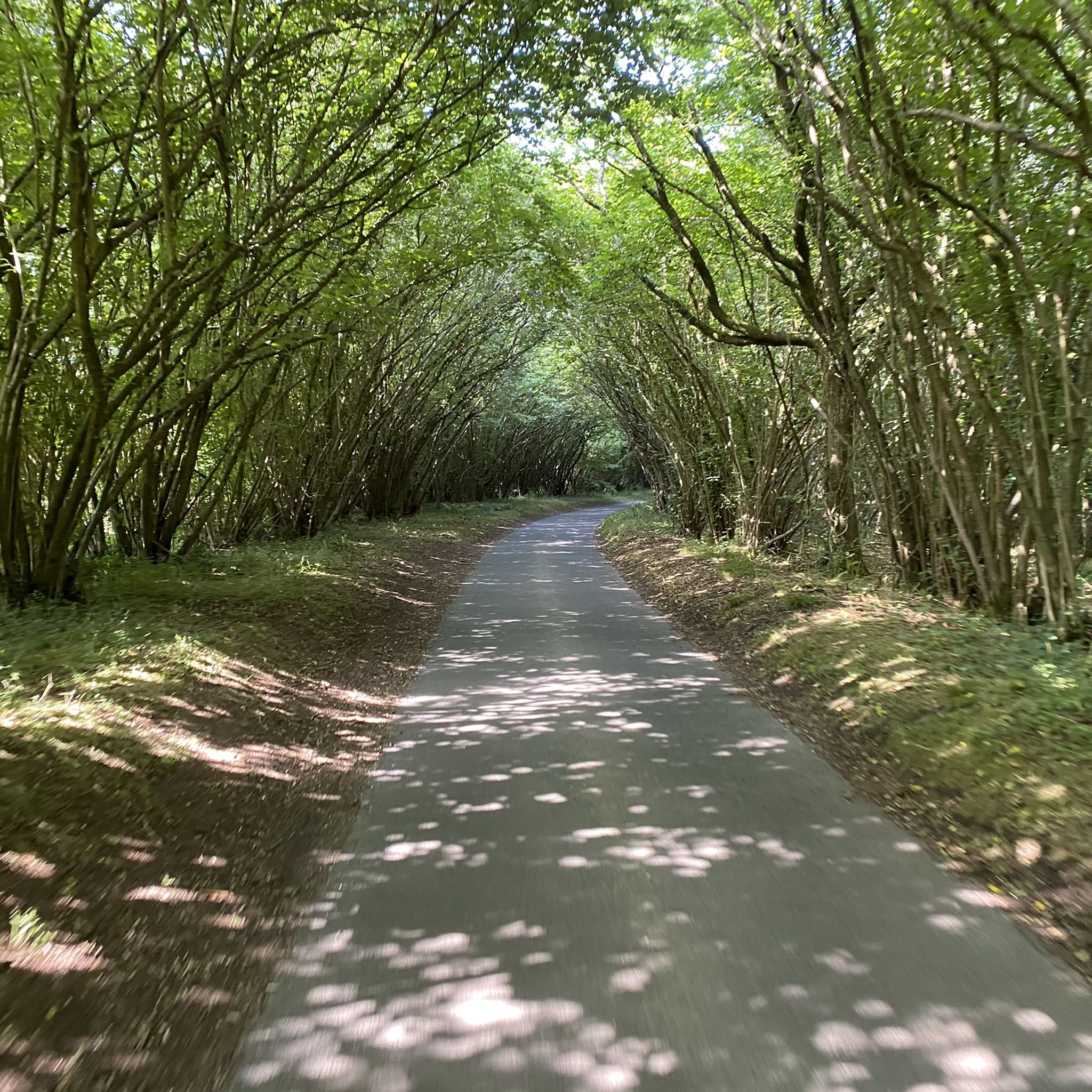
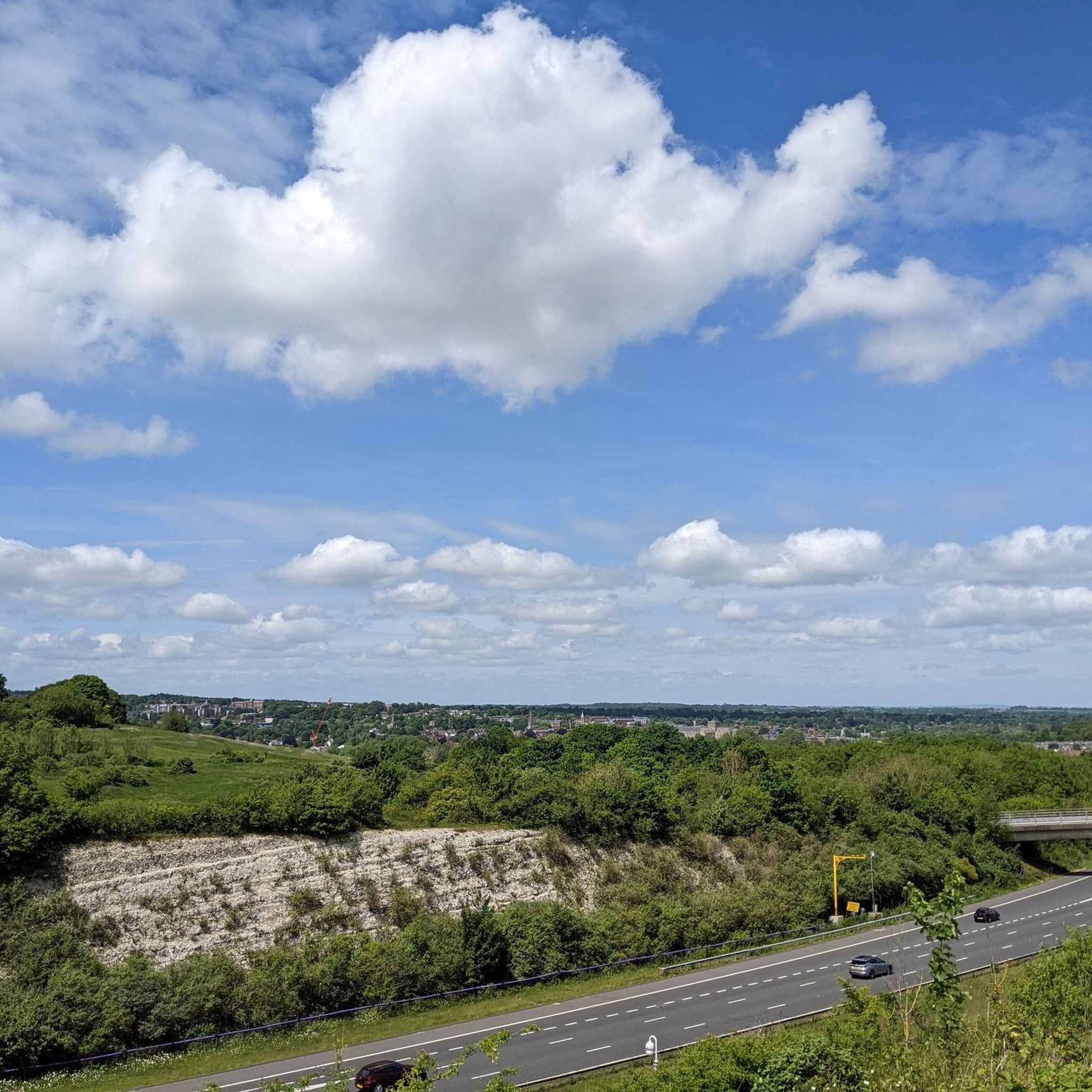
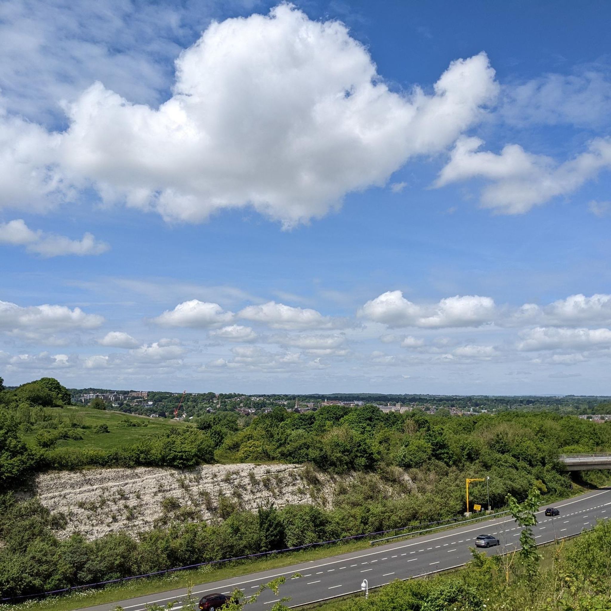
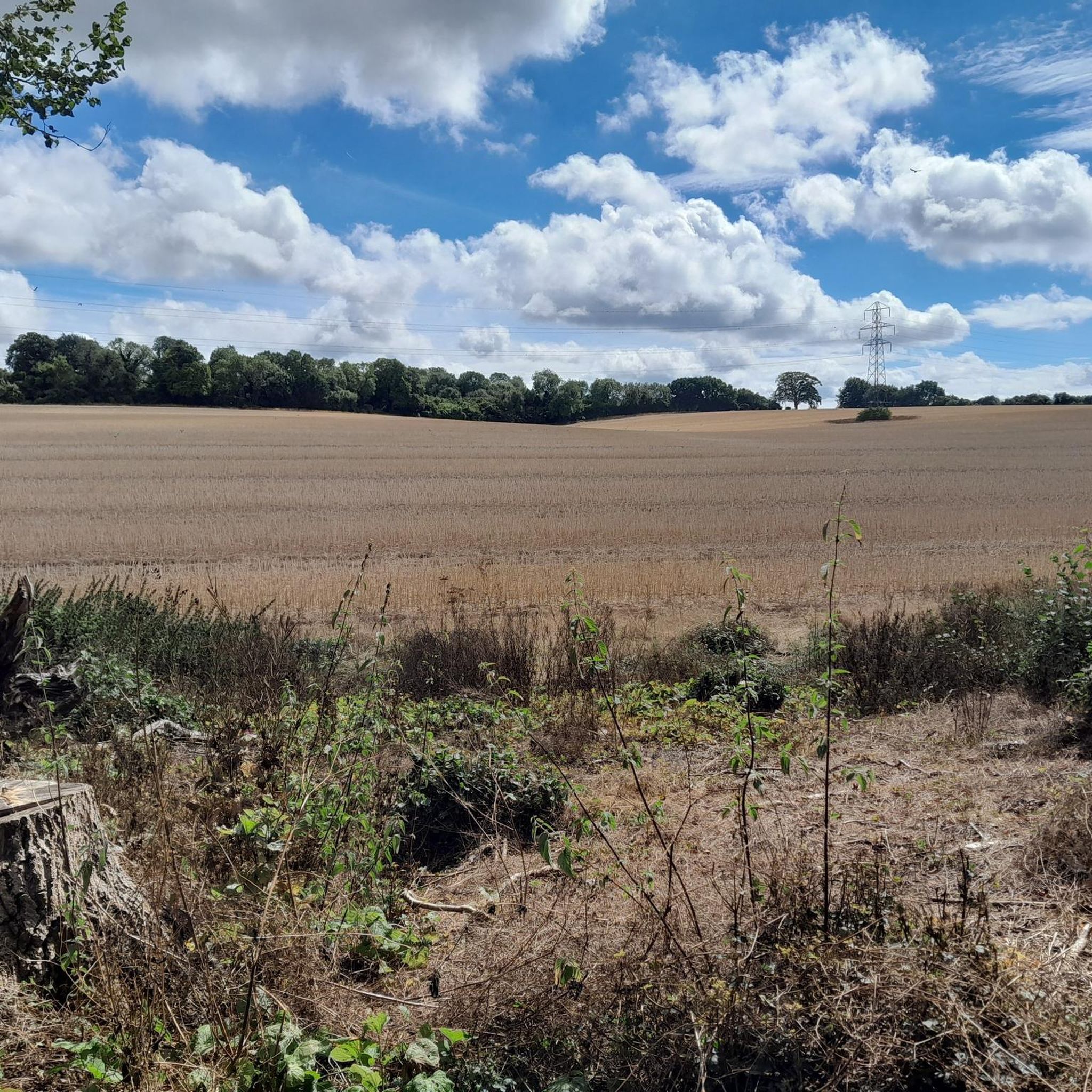
Tips from the Community

The mural depicting "Boys with a Kite" is a piece of street art by the anonymous Winchester-based artist known as Hendog, who is often compared to Banksy. This particular work is a newer iteration, painted on a bridge near the Handlebar Café on Garnier Road, at the base of St Catherine's Hill. The mural shows two children gazing up, and a real kite has been cleverly left nearby, creating an interactive installation where the boys appear to be watching it fly overhead. This artwork is part of a series of popular, nostalgic, and often emotionally resonant pieces by Hendog across Winchester and the wider Hampshire area, with an earlier, single "boy with a kite" piece having previously been painted on the wall near the same cafe.
0
0
The iconic, but deteriorating, wooden steps on the main path up St Catherine's Hill have recently been replaced by the Hampshire & Isle of Wight Wildlife Trust as part of a crucial refurbishment project. The new steps are constructed from durable, anti-slip treated timber to provide a safer, more stable, and more sustainable route for visitors, with an expected lifespan of at least 30 years. This essential conservation work is designed not only to improve public access to the historic Iron Age hillfort but also to safeguard the site's fragile chalk grassland and biodiversity by preventing visitors from creating unsanctioned, damaging paths.
2
0
The Handlebar Cafe, now operated by Cadence Cycle Club, is a unique and award-winning community café and bike workshop located on Garnier Road at the foot of St Catherine's Hill and the Viaduct Way cycle path in Winchester. Conceived by local teenagers through the SPUD Youth program, the building's distinct architecture resembles two railway carriages to reflect the site's history as an old railway line. It serves as a popular hub for cyclists and walkers, offering locally-sourced food, specialty coffee, and essential bike repair services, all within a welcoming, dog-friendly environment that provides lovely views over the Itchen Valley.
0
0
St Catherine's Hill is a prominent chalk downland hill on the outskirts of Winchester, notable for its layered historical and ecological importance. Now a biological Site of Special Scientific Interest (SSSI) managed as a nature reserve, its summit is ringed by the impressive earthworks of a univallate Iron Age hillfort dating back over 2,000 years. The top is marked by a distinctive copse of beech trees, known as 'The Clump', which contains the scant ruins of the 12th-century St Catherine's Chapel, while the hillside features a turf-cut labyrinth known as the Miz-Maze; the entire site provides spectacular views over the city, the Itchen Valley, and supports a rich variety of wildflowers and butterflies, including the protected Chalkhill Blue.
1
0
St Catherine's Hill is a prominent chalk downland hill on the outskirts of Winchester, notable for its layered historical and ecological importance. Now a biological Site of Special Scientific Interest (SSSI) managed as a nature reserve, its summit is ringed by the impressive earthworks of a univallate Iron Age hillfort dating back over 2,000 years. The top is marked by a distinctive copse of beech trees, known as 'The Clump', which contains the scant ruins of the 12th-century St Catherine's Chapel, while the hillside features a turf-cut labyrinth known as the Miz-Maze; the entire site provides spectacular views over the city, the Itchen Valley, and supports a rich variety of wildflowers and butterflies, including the protected Chalkhill Blue.
1
0

The café was recently renamed and is now called the Cadence Club Café. Perfect for a quick refreshment while strolling along the River Itchen.
0
0


Have a rest and enjoy the view at The Handle Bar Cafe https://www.google.co.uk/maps/place/Cadence+at+The+Handlebar+Cafe/@51.0493993,-1.3137403,445m/data=!3m1!1e3!4m6!3m5!1s0x48740d88c43c7b53:0xc09946315b116c5f!8m2!3d51.0493875!4d-1.3112148!16s%2Fg%2F11fn6mp69f?entry=ttu&g_ep=EgoyMDI0MTExOC4wIKXMDSoASAFQAw%3D%3D
0
0
Frequently Asked Questions
Are there many circular walks starting from Twyford?
Yes, many of the trails around Twyford are loops, making it easy to start and end in the same place. A great moderate example is the St. Mary's Church, Twyford – St Andrew's Church, Owslebury loop from Shawford Down, which takes you on a scenic 6.1-mile (9.8 km) journey through the countryside and past historic churches.
What are the trails around Twyford like?
The hiking experience is defined by the serene paths along the River Itchen, a clear chalk stream, and the rolling hills of the South Downs National Park. You'll find a mix of peaceful riverside strolls, woodland tracks, and open fields with rewarding views from modest elevations like Twyford Down.
Are there any easy, family-friendly hikes in the area?
Certainly. The area offers several gentle walks suitable for the whole family. For a shorter, accessible outing, consider the The Handlebar Café – St Catherine's Hill loop from Shawford Down. It's an easy 3.3-mile (5.3 km) walk that includes a popular local cafe, making it a great option for a relaxed afternoon.
Can I bring my dog on the trails around Twyford?
Yes, the countryside around Twyford is generally very dog-friendly, with plenty of open spaces and woodland paths. However, you'll be walking through farmland and parts of the South Downs National Park, so always be prepared to put your dog on a lead, especially near livestock. Also, ensure you bring enough water for your companion.
What do other hikers enjoy most about the trails near Twyford?
The routes around Twyford are highly regarded by the komoot community, with an average rating of 4.5 stars. Hikers often praise the beautiful scenery along the River Itchen, the well-maintained paths through the South Downs, and the rewarding views from landmarks like St. Catherine's Hill and the Hockley Viaduct.
Are there any challenging long-distance hikes available?
Yes, for those seeking a more strenuous challenge, there are longer routes to explore. The Cheesefoot Head – South Downs Way Water Tap loop from Twyford is a difficult 17.8-mile (28.7 km) hike that involves significant elevation and rewards you with expansive views from the South Downs Way.
How many hiking trails are there to choose from around Twyford?
You'll find a good variety, with over 25 curated hiking routes available on komoot. These range from short, easy strolls to more demanding all-day hikes, with the majority being easy or moderate, ensuring there's a trail for every fitness level.
Are there any good pub walks in the area?
Many routes pass through or near villages with traditional pubs, perfect for a mid-hike break or a post-walk meal. The Owslebury church loop from Twyford — South Downs National Park is a great option, as the village of Owslebury has a pub where you can stop for refreshments before completing your walk.
What kind of footwear is best for hiking in Twyford?
Sturdy walking shoes or hiking boots with good grip are recommended. While many paths are well-maintained, trails along the River Itchen can be muddy, especially after rain. The terrain includes grassy fields, woodland tracks, and some hilly sections, so supportive footwear will ensure a comfortable hike.
Is it possible to reach the hiking trails using public transport?
Yes, Twyford has a railway station with connections to nearby towns and cities like Winchester, making it accessible via public transport. From the station, you can walk to the start of several local trails, including those that head into the South Downs National Park.
Where can I find good views while hiking near Twyford?
For some of the best views, head towards St. Catherine's Hill. This prominent chalk hill offers panoramic vistas over the city of Winchester and the Itchen Valley. The popular Hockley Viaduct and Catherine's Hill loop incorporates this viewpoint into a fantastic walk.
Most popular attractions around Twyford

Get inspired with the komoot mobile app


Explore more
Browse the best Hikes in other regions.
