The best cycling routes around Hittisleigh
4.0
(56)
743
riders
78
rides
Touring cycling around Hittisleigh offers access to diverse landscapes, from the rugged granite tors and expansive moorland of Dartmoor National Park to the rolling hills and wooded valleys of Mid Devon. The region features a network of country lanes and established cycle routes, providing varied terrain for cyclists. River gorges, such as the Teign Gorge, also contribute to the area's scenic appeal.
Best touring cycling routes around Hittisleigh
- The most popular touring cycling route is Fingle Bridge – Clifford Bridge…
Last updated: July 1, 2026
12
riders
42.5km
03:00
660m
660m
Hard bike ride. Very good fitness required. You may need to push your bike for some segments of this route.
4.0
(1)
11
riders
8.81km
00:50
100m
100m
Easy bike ride. Great for any fitness level. Mostly paved surfaces. Suitable for all skill levels.

Sign up for free
7
riders
Hard bike ride. Very good fitness required. Mostly paved surfaces. Suitable for all skill levels.
4.0
(1)
6
riders
28.4km
02:17
460m
460m
Hard bike ride. Very good fitness required. Mostly paved surfaces. Suitable for all skill levels.
4
riders
15.5km
01:16
320m
320m
Moderate bike ride. Good fitness required. Mostly paved surfaces. Suitable for all skill levels.
Get access to more routes and recommendations from other explorers.
Sign up for free
Already have an account?
Our route recommendations are based on thousands of hikes, rides, and runs completed by other people on komoot.
Start today with a free account
Your next adventure awaits.
Login or Signup
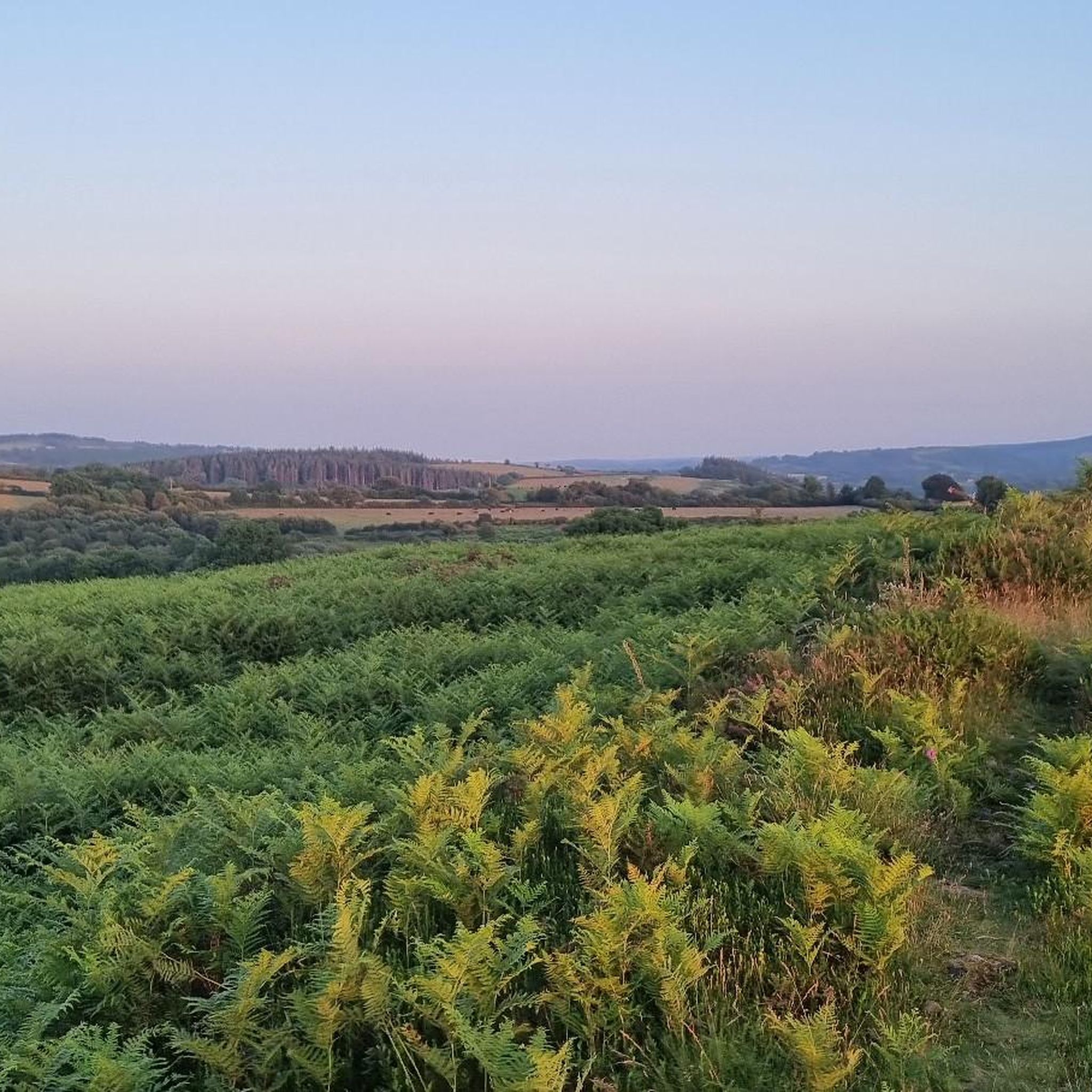
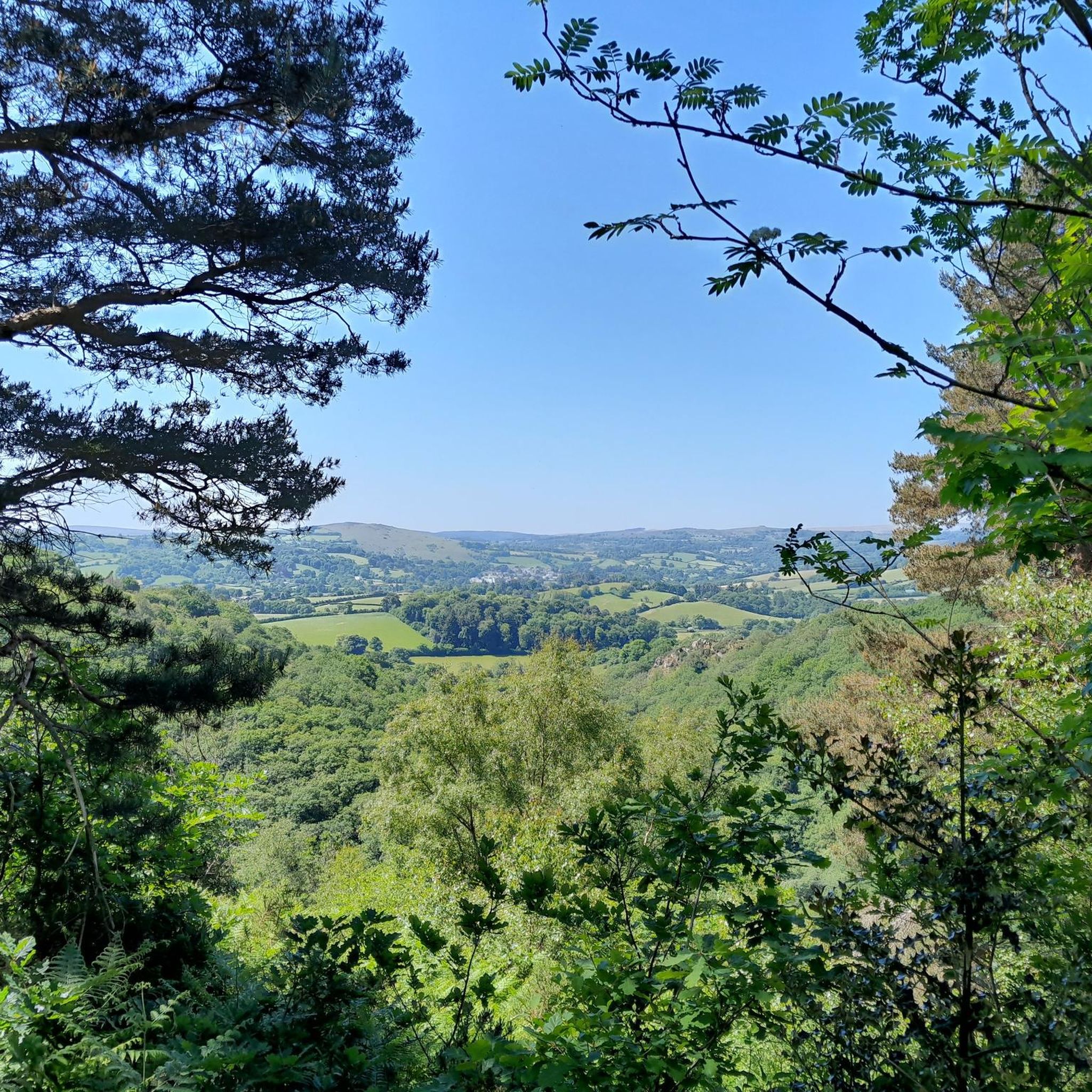
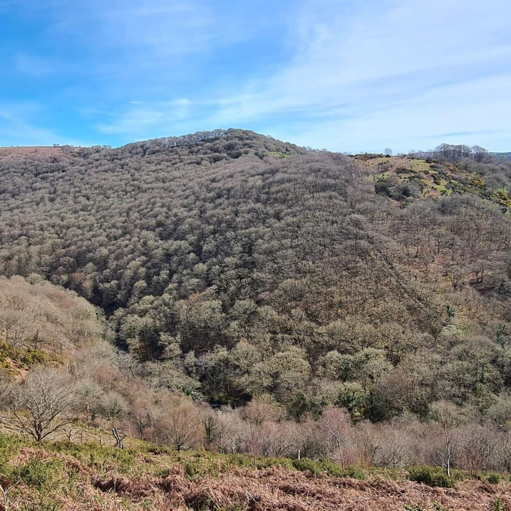
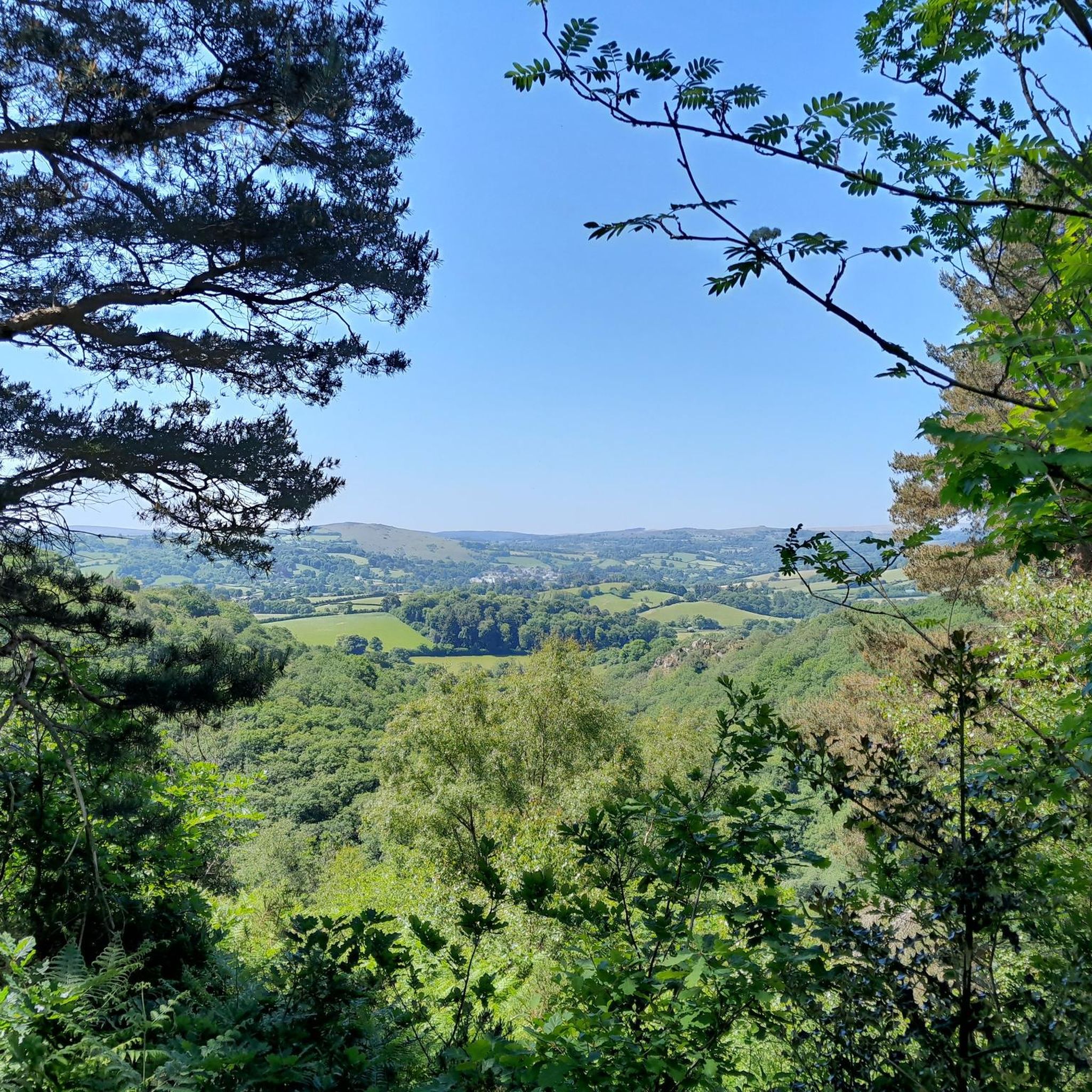
Tips from the Community

A really lovely place for coffee and cake. Then either return back down the Wray Trail or up and over via Hennock with great views across Dartmoor.
0
0

Sharp Tor on Dartmoor – overview and tips Notes on the name Sharp Tor is a well-known tor on Dartmoor, sometimes spelled “Sharp Tor” or “Sharp’s Tor” in regional references. It is one of the classic granite tors that dot the eastern moor. Location context: Sharp Tor sits in the eastern part of Dartmoor National Park, behind or near the villages of Widecombe-in-the-Moor and intersecting with other moorland features such as Haytor and Hound Tor in the wider area. What to expect Elevation and geology: Granite tor forming a rocky outcrop that offers elevated views over the surrounding moor. Typical Dartmoor granite features, weathered by wind and rain into distinctive boulders and crags. Scenery: Expansive moorland around, open horizons, and, on clear days, distant views toward the coast. Getting there Access points: - Likely starting points include nearby car parks on the eastern Dartmoor plateau and routes from towns like Ashburton or Widecombe-in-the-Moor. Public transport: Bus routes to nearby villages with a short walk onto the moor. Parking: Depending on the exact access point, there are local parking areas; check current signage and National Trust/ Dartmoor NPA guidance. Popular routes and what to expect Short circulars: There are moorland circuits that incorporate Sharp Tor as a highlight, often around 2–4 miles (3–6 km) depending on the exact start point. Longer explorations: Combine Sharp Tor with adjacent tors such as Hound Tor, Widecombe area, or more northern tors for a full moorland day. Expect rolling moorland
0
0

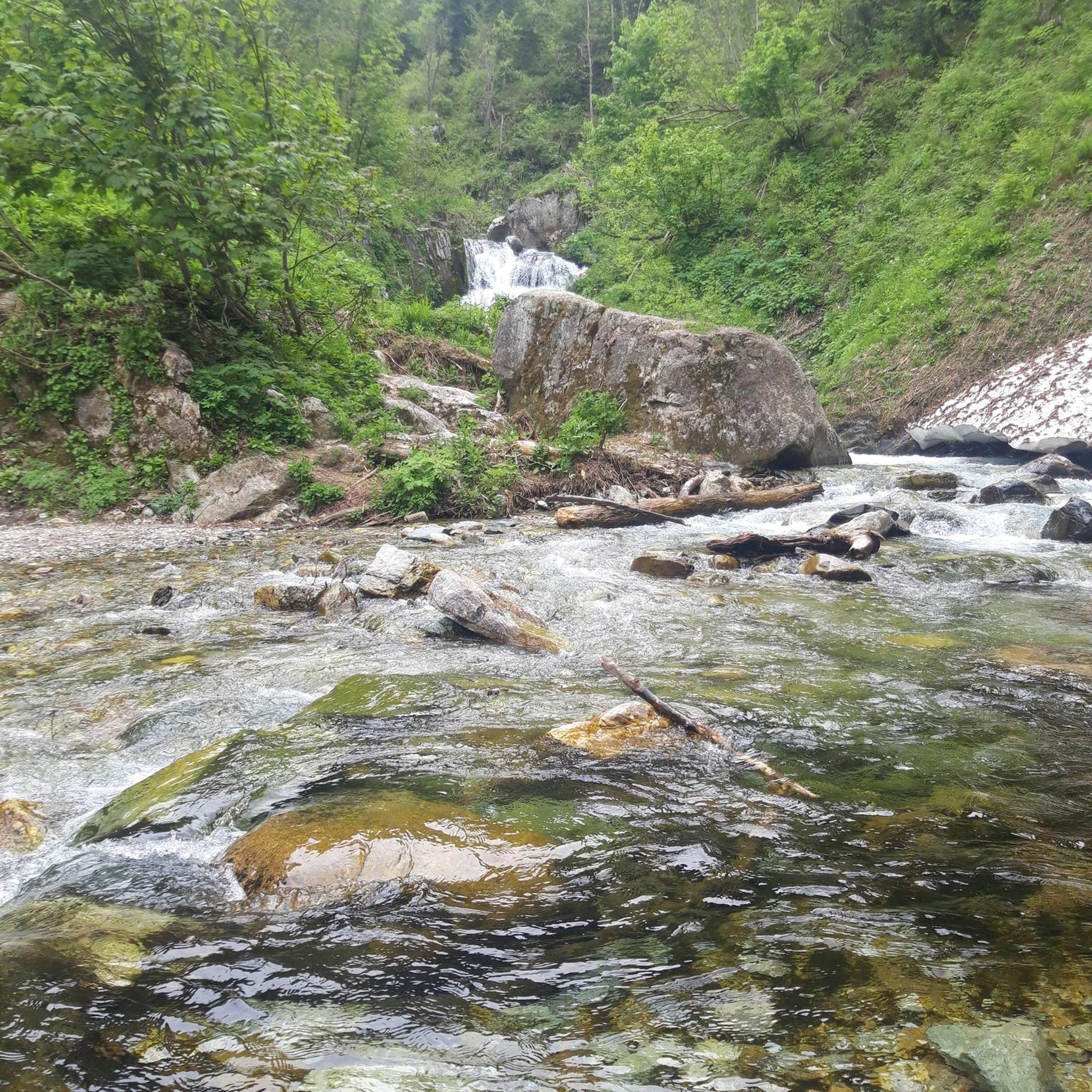
The walk from Clifford Bridge to Fingle Bridge is about 2 1/2 miles. Walking from Clifford Bridge means you can time your walk to arrive at the Fingle Bridge Inn for lunch, coffee and cake or Dinner then return and burn off some of the calories you have injested.
0
0

Enjoy the silence
1
0


One of my favourite spots on Dartmoor, the village has real character, good ice cream, coffee and pizza.
0
0
Frequently Asked Questions
How many touring cycling routes are available around Hittisleigh?
There are over 90 touring cycling routes around Hittisleigh, offering a wide range of options for different skill levels and preferences. These routes are highly rated by the komoot community, with an average score of 4.2 stars.
Are there any easy or family-friendly touring cycling routes in the area?
Yes, Hittisleigh offers several easy routes suitable for beginners or families. One popular option is the Fingle Bridge – Clifford Bridge loop from The Drewe Arms, an easy 5.5-mile (8.8 km) trail exploring the scenic Teign Gorge. Additionally, the region is close to the Wray Valley Trail and the Granite Way, both known for being accessible and scenic off-road paths, ideal for family rides.
What kind of terrain can I expect on touring cycling routes around Hittisleigh?
The terrain around Hittisleigh is quite diverse. You'll find everything from the rugged granite tors and expansive moorland of Dartmoor National Park to the gently rolling hills, ancient woodlands, and tranquil river valleys of Mid Devon. Routes can range from challenging climbs to flatter, designated paths like sections of the National Cycle Network, including the Exe Estuary's circular route.
Are there any circular touring cycling routes near Hittisleigh?
Yes, many routes in the area are designed as loops. A notable option is the Fingle Bridge – Clifford Bridge loop from The Drewe Arms, which is an easy ride through the Teign Gorge. For a more challenging experience, consider the Tramlines Bridleway – Meldon Viaduct loop from Whiddon Down, offering views near Dartmoor.
What are some challenging touring cycling routes for experienced riders?
For experienced touring cyclists seeking a challenge, the region offers routes with significant elevation gain. The Tramlines Bridleway – Meldon Viaduct loop from Whiddon Down is a difficult 26.3-mile (42.4 km) path with over 650 meters of ascent. Another demanding option is the Moretonhampstead Village – Fingle Bridge loop from Cheriton Bishop, which covers 37.4 miles (60.2 km) with over 770 meters of climbing.
What interesting landmarks or attractions can I see along the touring cycling routes?
The routes around Hittisleigh offer access to several natural and historical attractions. You can cycle past the scenic Fingle Bridge, explore viewpoints like Hunter’s Tor and Sharp Tor (Teign Gorge), or visit ancient sites such as the Scorhill Stone Circle. The wider region also features attractions like Castle Drogo and Finch Foundry.
Are there places to stop for refreshments or food along the cycling routes?
Yes, the countryside around Hittisleigh is dotted with charming villages and traditional pubs, many of which are ideal for a refreshment stop. While specific cafes and pubs vary by route, planning your ride to pass through villages like Moretonhampstead or Cheriton Bishop will likely provide opportunities for food and drink.
What do other touring cyclists enjoy most about cycling in Hittisleigh?
The touring cycling routes around Hittisleigh are highly rated by the komoot community, with an average score of 4.2 stars from over 60 reviews. Cyclists often praise the diverse landscapes, from the challenging moorland of Dartmoor to the tranquil wooded valleys, and the well-maintained network of country lanes and established cycle paths that cater to various abilities.
Is public transport available to access touring cycling routes near Hittisleigh?
While Hittisleigh itself is a rural area, public transport options exist in larger nearby towns. Cyclists often use a combination of local bus services (which may have restrictions on carrying bikes) or train services to reach starting points for routes further afield, particularly those connecting to the National Cycle Network. It's advisable to check specific transport provider policies regarding bicycles.
Where can I find parking for touring cycling routes around Hittisleigh?
Parking is generally available at or near the starting points of many popular routes. For example, the Fingle Bridge – Clifford Bridge loop starts from The Drewe Arms, which may offer parking for patrons. Larger trailheads or villages like Whiddon Down or Cheriton Bishop often have designated parking areas. Always check local signage for parking regulations and fees.
What is the best time of year for touring cycling in Hittisleigh?
The spring, summer, and early autumn months (April to October) generally offer the most favorable conditions for touring cycling in Hittisleigh. During these periods, the weather is typically milder, and the landscapes are at their most vibrant. However, Dartmoor's moorland can be exposed, so be prepared for changeable weather regardless of the season.
Most popular attractions around Hittisleigh

Get inspired with the komoot mobile app


Explore more
Browse the best Cycling routes in other regions.
