The best walks and hikes around Hittisleigh
4.6
(786)
5,233
hikers
176
hikes
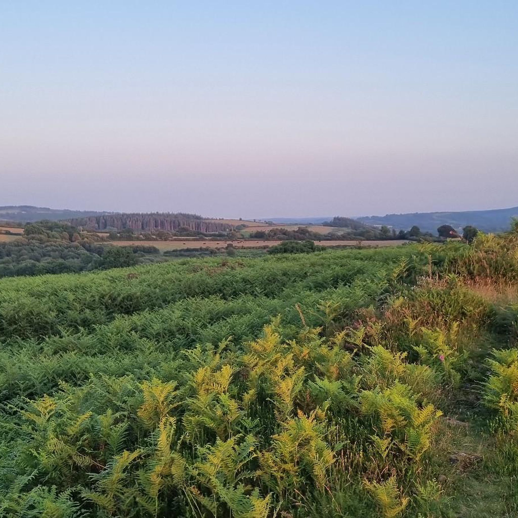
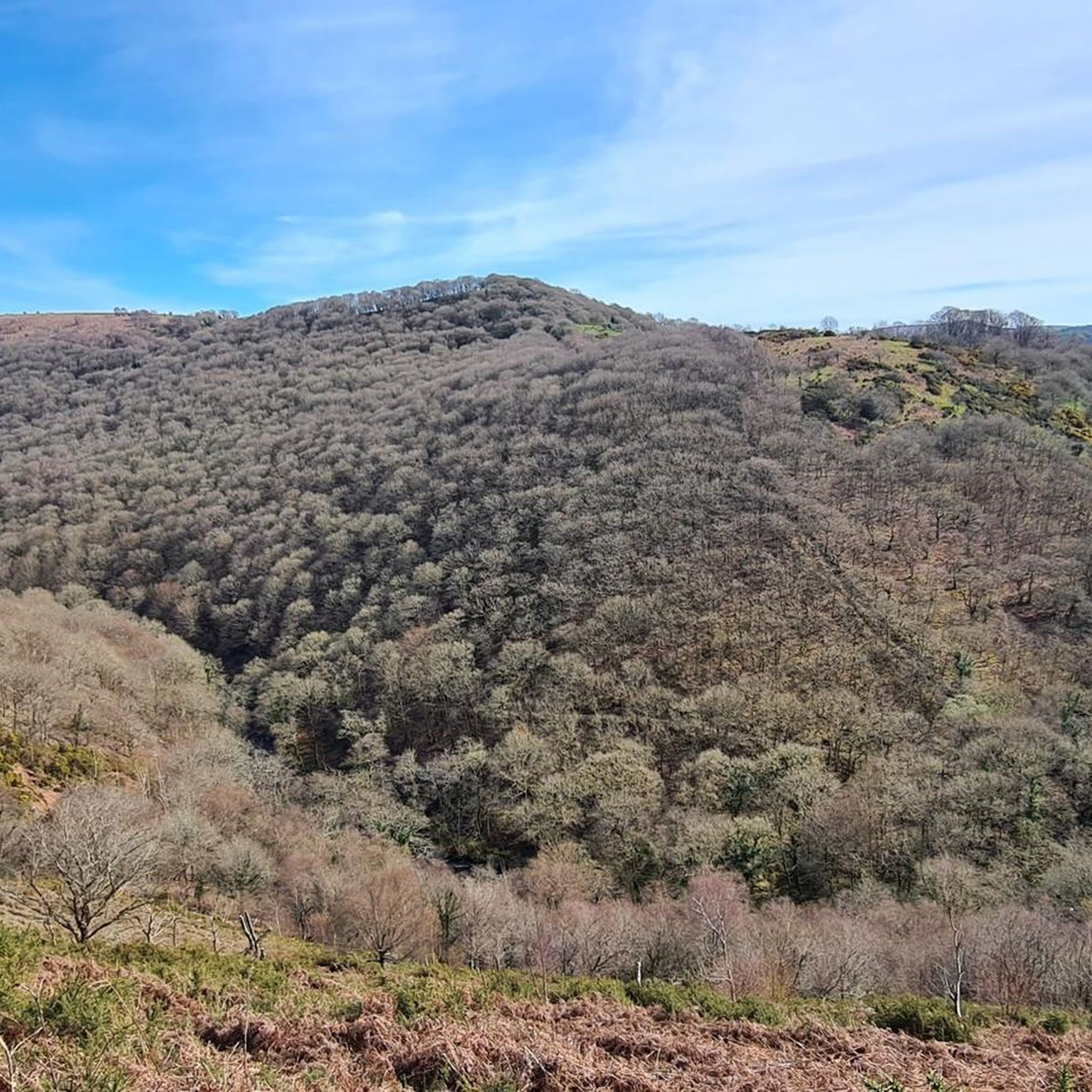
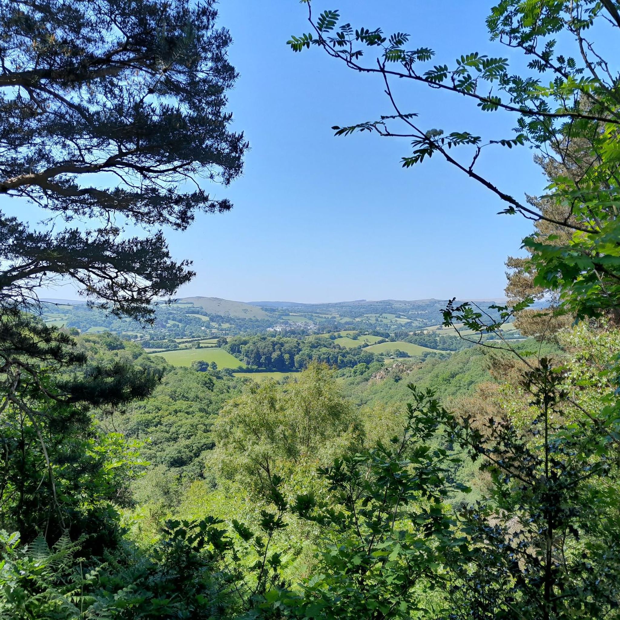
Hiking around Hittisleigh offers access to diverse landscapes in Mid Devon, characterized by its proximity to Dartmoor National Park. The region features rugged granite tors, deep river valleys, and ancient woodlands, particularly around the Teign Gorge. This varied terrain provides a range of hiking opportunities. The River Teign carves through the gorge, creating dramatic scenery with impressive crags and viewpoints.
Best hiking trails around Hittisleigh
- The most popular hiking route is Castle Drogo via the Fisherman's Path & the Hunter's…
Last updated: June 29, 2026
4.8
(231)
1,340
hikers
Moderate hike. Good fitness required. Easily-accessible paths. Suitable for all skill levels.
4.9
(12)
70
hikers
Moderate hike. Good fitness required. Easily-accessible paths. Suitable for all skill levels.

Sign up for free
4.8
(13)
129
hikers
16.1km
04:39
380m
380m
Moderate hike. Good fitness required. Easily-accessible paths. Suitable for all skill levels.
5.0
(8)
91
hikers
8.45km
02:15
90m
90m
Moderate hike. Good fitness required. Easily-accessible paths. Suitable for all skill levels.
4.0
(6)
12
hikers
24.1km
07:04
640m
640m
Hard hike. Very good fitness required. Easily-accessible paths. Suitable for all skill levels.
Get access to more routes and recommendations from other explorers.
Sign up for free
Already have an account?
Our route recommendations are based on thousands of hikes, rides, and runs completed by other people on komoot.
Start today with a free account
Your next adventure awaits.
Login or Signup
Tips from the Community

Hunters Tor on Dartmoor – overview and practical guide Notes on the feature Name variants: Hunters Tor (also found in some guides as “Hunters’ Tor” or “Hunters Tor” with occasional apostrophe usage). It is one of the granite tors you’ll encounter on the eastern Dartmoor plateau. Location context: Situated on the eastern Dartmoor moor, in the general area between Widecombe-in-the-Moor and the higher moorland to the north and east. It’s often visited as part of longer routes from classic eastern Dartmoor starting points. What to expect Elevation and geology: A granite tor typical of Dartmoor—weathered outcrops with rough boulder features and exposed granite. Provides a vantage point to survey surrounding moorland. Scenery: Wide moorland views with horizon lines; potential for good visibility across East Dartmoor on clear days. Getting there Access points: Likely starting points include car parks and laybys near the eastern moor, with access from roads serving Widecombe-in-the-Moor, Ashburton, or Two Bridges. Public transport: Buses to nearby villages with a short walk onto the moor; check current timetables. Parking: Local parking areas around the eastern moorland; follow local signage and
0
0
Sharp Tor on Dartmoor – overview and tips Notes on the name Sharp Tor is a well-known tor on Dartmoor, sometimes spelled “Sharp Tor” or “Sharp’s Tor” in regional references. It is one of the classic granite tors that dot the eastern moor. Location context: Sharp Tor sits in the eastern part of Dartmoor National Park, behind or near the villages of Widecombe-in-the-Moor and intersecting with other moorland features such as Haytor and Hound Tor in the wider area. What to expect Elevation and geology: Granite tor forming a rocky outcrop that offers elevated views over the surrounding moor. Typical Dartmoor granite features, weathered by wind and rain into distinctive boulders and crags. Scenery: Expansive moorland around, open horizons, and, on clear days, distant views toward the coast. Getting there Access points: - Likely starting points include nearby car parks on the eastern Dartmoor plateau and routes from towns like Ashburton or Widecombe-in-the-Moor. Public transport: Bus routes to nearby villages with a short walk onto the moor. Parking: Depending on the exact access point, there are local parking areas; check current signage and National Trust/ Dartmoor NPA guidance. Popular routes and what to expect Short circulars: There are moorland circuits that incorporate Sharp Tor as a highlight, often around 2–4 miles (3–6 km) depending on the exact start point. Longer explorations: Combine Sharp Tor with adjacent tors such as Hound Tor, Widecombe area, or more northern tors for a full moorland day. Expect rolling moorland
0
0

The walk from Clifford Bridge to Fingle Bridge is about 2 1/2 miles. Walking from Clifford Bridge means you can time your walk to arrive at the Fingle Bridge Inn for lunch, coffee and cake or Dinner then return and burn off some of the calories you have injested.
0
0

Enjoy the silence
1
0

Nice walk on a clear sunny day.
0
0
Very pleasant easy hike with changing views.
0
0
Frequently Asked Questions
How many hiking trails are available around Hittisleigh?
There are over 180 hiking routes in the Hittisleigh area, offering a wide range of options for different preferences and fitness levels.
What kind of terrain can I expect on hikes near Hittisleigh?
Hikes around Hittisleigh feature diverse terrain, from the rugged granite tors and open moorland of Dartmoor National Park to the deep river valleys and ancient woodlands of the Teign Gorge. You'll find riverside paths, woodland trails, and ascents to scenic viewpoints.
What is the overall difficulty level of hiking trails in Hittisleigh?
The trails around Hittisleigh cater to various fitness levels. You'll find a good mix of options, with approximately 87 easy routes, 86 moderate routes, and 12 more challenging treks, ensuring there's something for everyone.
Are there any family-friendly hiking routes in Hittisleigh?
Yes, there are many easy routes suitable for families. For example, the Hunter's Path – Fingle Bridge loop from Drewsteignton is an easy 3-mile trail that takes you through the scenic Teign Gorge, perfect for a shorter outing.
Are dogs allowed on the hiking trails around Hittisleigh?
Many trails around Hittisleigh and within Dartmoor National Park are dog-friendly. However, it's crucial to keep dogs on a lead, especially near livestock and during ground-nesting bird seasons, to protect wildlife and farm animals. Always check local signage for specific restrictions.
What are some notable natural landmarks or viewpoints to see while hiking?
The area is rich in natural beauty. You can explore the dramatic Fingle Bridge, ascend to Hunter’s Tor or Sharp Tor (Teign Gorge) for exceptional views, or visit Kes Tor and Rock Basin with its distinctive rock pool. The ancient Scorhill Stone Circle is also a fascinating historical and natural attraction.
Are there circular hiking routes available?
Yes, many routes in the area are circular. A popular option is the Riverside path along the River Teign – Fingle Bridge loop from Drewsteignton, which offers a scenic moderate walk along the river and through woodlands.
Where can I park for hiking trails near Hittisleigh?
Parking is available at key access points for popular trails, such as near Fingle Bridge and for walks accessing Castle Drogo. Specific parking details can often be found on individual route descriptions or local information boards.
What is the best time of year to hike around Hittisleigh?
The region offers enjoyable hiking year-round. Spring brings wildflowers, summer offers longer daylight hours, and autumn showcases vibrant foliage. Winter hikes can be beautiful, especially on clear days, but require appropriate gear for potentially wet and cold conditions. Always check weather forecasts before heading out.
What do other hikers enjoy most about the trails around Hittisleigh?
The trails around Hittisleigh are highly rated by the komoot community, with an average score of 4.6 stars from over 850 reviews. Hikers often praise the dramatic scenery of the Teign Gorge, the peaceful riverside paths, and the stunning views from the various tors.
Are there any pubs or cafes near the hiking routes?
Yes, there are establishments like The Drewe Arms, which can be a starting point or a refreshment stop for routes such as the Riverside path along the River Teign – Fingle Bridge loop from The Drewe Arms. Other local pubs and cafes can be found in nearby villages like Drewsteignton.
Can I reach the hiking areas by public transport?
While Hittisleigh itself is a small village, public transport options to access the wider Dartmoor National Park and Teign Gorge areas may be limited. It's advisable to check local bus schedules for routes connecting to larger towns or trailheads, or consider driving to access the starting points of many hikes.
Most popular attractions around Hittisleigh

Get inspired with the komoot mobile app


Explore more
Browse the best Hikes in other regions.
