The best mountain hikes around Hollenstein an der Ybbs
4.7
(10)
170
hikers
12
hikes
Mountaineering routes around Hollenstein an der Ybbs are situated within the Lower Austrian Eisenwurzen Nature Park, characterized by diverse terrain. The region features prominent peaks such as Gamsstein (1,774 m) and Voralpe/Stumpfmauer (1,770 m), alongside deep wooded gorges and rugged rock faces. Alpine meadows and the Ybbs River further define the landscape, offering varied environments for mountaineering.
Best mountaineering routes around Hollenstein an der Ybbs
- The most popular mountaineering route is Stumpfmauer Summit View – Stumpfmauer (1770 m) loop from Wenten, a 6.7 miles (10.8 km) trail that takes 5 hours 49 minutes to complete. This difficult route offers panoramic views from Stumpfmauer.
- Another top favourite among local mountaineers is Sandgraben – Gamsstein (1,770 m) loop from Naturpark Eisenwurzen, a difficult 8.5 miles (13.8 km) path. This route ascends to Gamsstein, providing expansive vistas of the surrounding nature park.
- Local mountaineers also love the Hochkogel (1774 m) – Gamsstein (1,770 m) loop from Palfau, a 10.2 miles (16.4 km) trail leading through varied alpine terrain, often completed in about 7 hours 42 minutes.
- Mountaineering around Hollenstein an der Ybbs is defined by prominent peaks like Gamsstein and Stumpfmauer, deep wooded gorges, and alpine meadows. The network offers options for both moderate and difficult ability levels.
- The routes in Hollenstein an der Ybbs are highly rated by the komoot community with an average score of 4.75 stars from over 10 reviews. More than 170 mountaineers have used komoot to explore Hollenstein an der Ybbs's varied terrain.
Last updated: July 1, 2026
5.0
(3)
30
hikers
10.8km
05:49
1,130m
1,130m
Hard mountaineering route. Very good fitness required. Mostly accessible paths. Sure-footedness required.
5.0
(2)
23
hikers
14.2km
06:50
1,010m
1,010m
Hard mountaineering route. Very good fitness required. Sure-footedness, sturdy shoes and alpine experience required.

Sign up for free
16
hikers
16.5km
07:44
1,230m
1,230m
Hard mountaineering route. Very good fitness required. Sure-footedness, sturdy shoes and alpine experience required.
3.0
(1)
15
hikers
5.36km
02:04
290m
290m
Hard mountaineering route. Good fitness required. Sure-footedness, sturdy shoes and alpine experience required.
14
hikers
10.9km
06:38
1,190m
1,190m
Hard mountaineering route. Very good fitness required. Sure-footedness, sturdy shoes and alpine experience required.
Get access to more routes and recommendations from other explorers.
Sign up for free
Already have an account?
Our route recommendations are based on thousands of hikes, rides, and runs completed by other people on komoot.
Start today with a free account
Your next adventure awaits.
Login or Signup
Popular around Hollenstein an der Ybbs

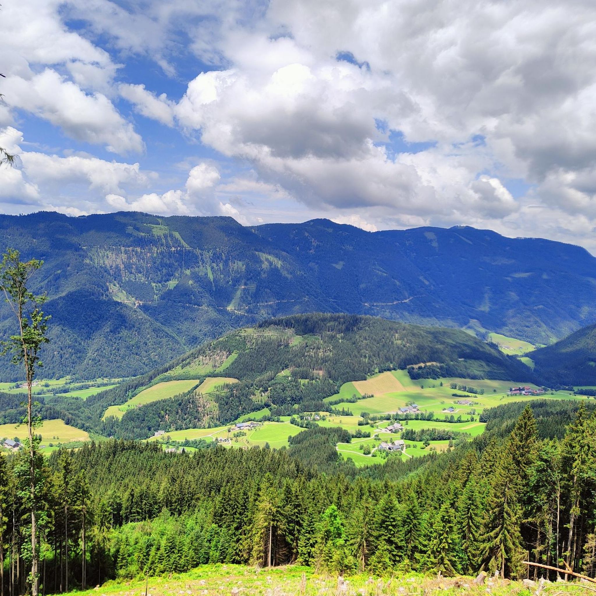
Eisenwurzen Trail – Hiking through Austria from north to south
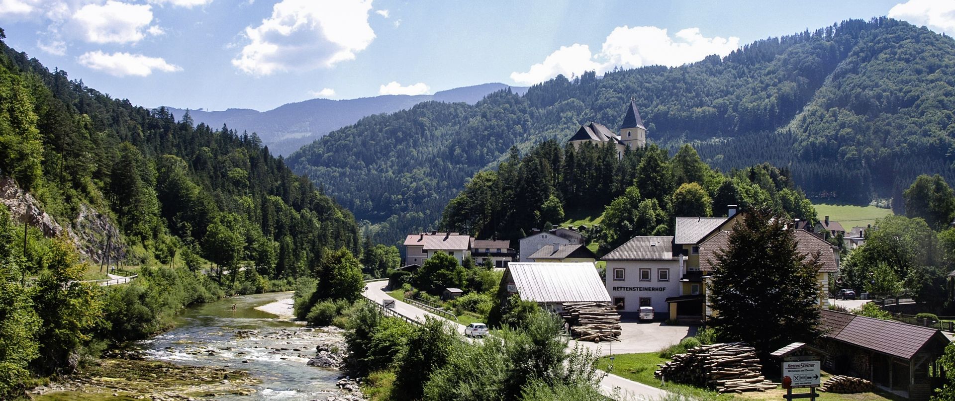
Ybbs Valley Cycle Path – Follow the tracks of the "Schafkäs-Express"
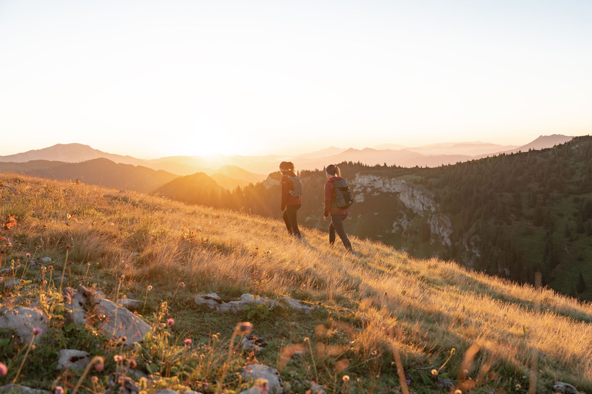
Get away from it all – experience the Mostviertel's six most beautiful hikes
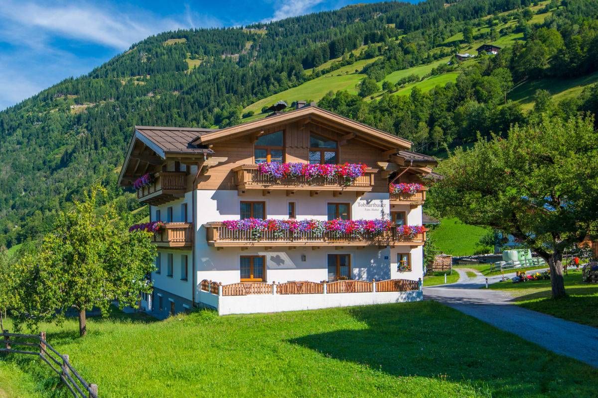
Sun, mountains, bathing fun – an active vacation on Austria's Farms
Road Cycling Routes around Hollenstein an der Ybbs
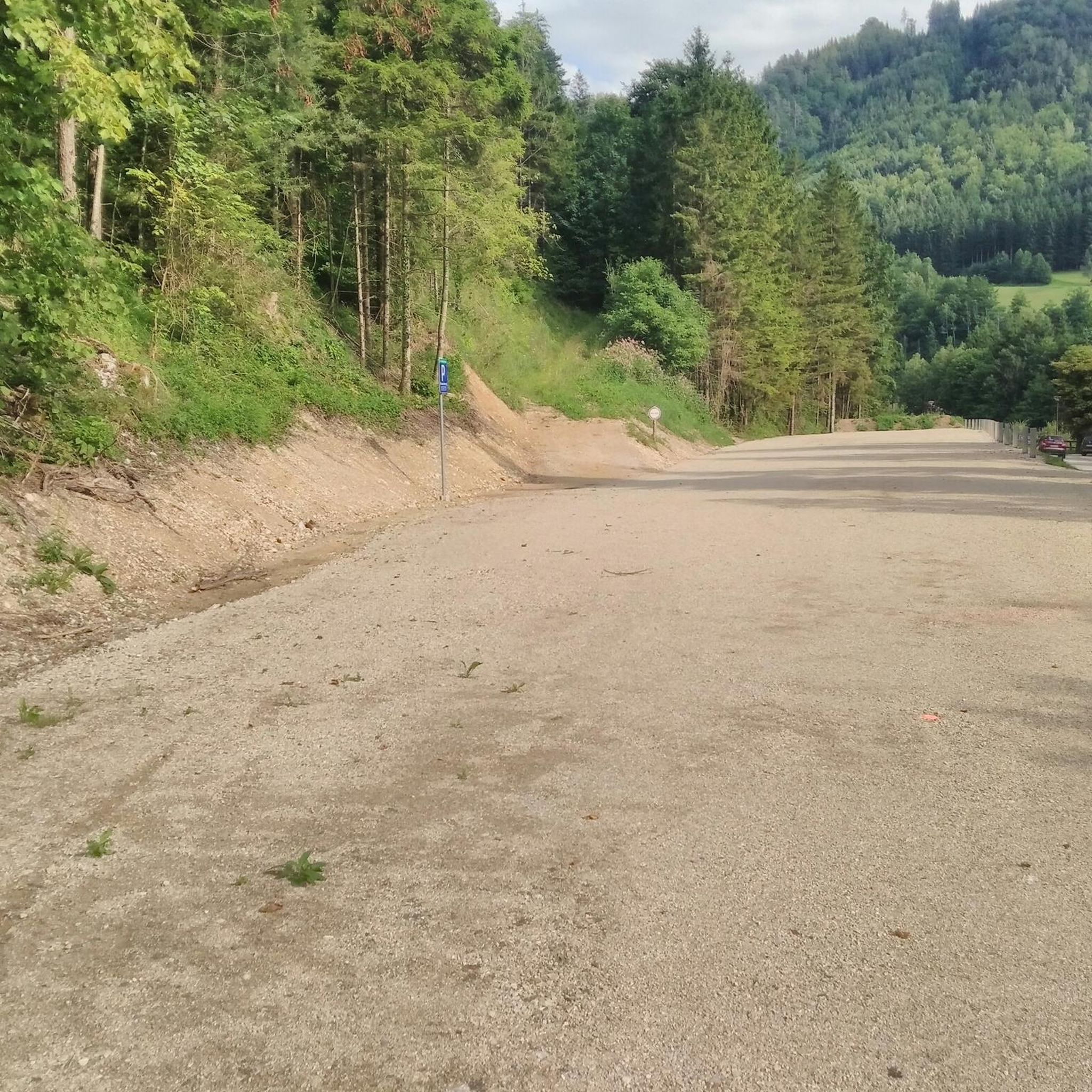
Hiking around Hollenstein an der Ybbs
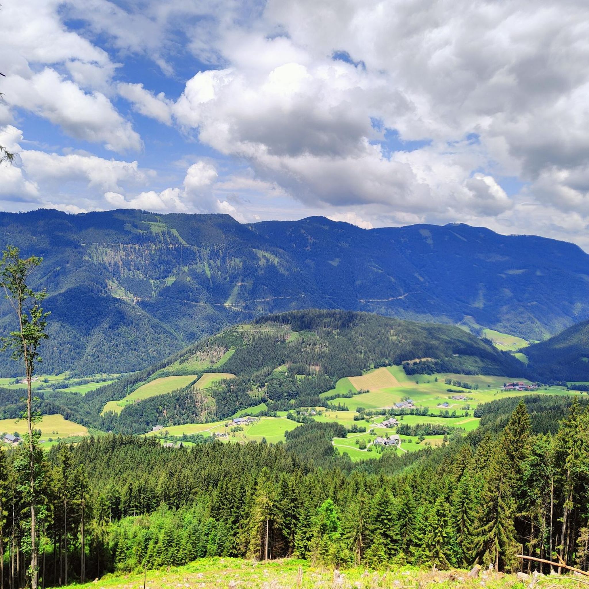
Cycling around Hollenstein an der Ybbs
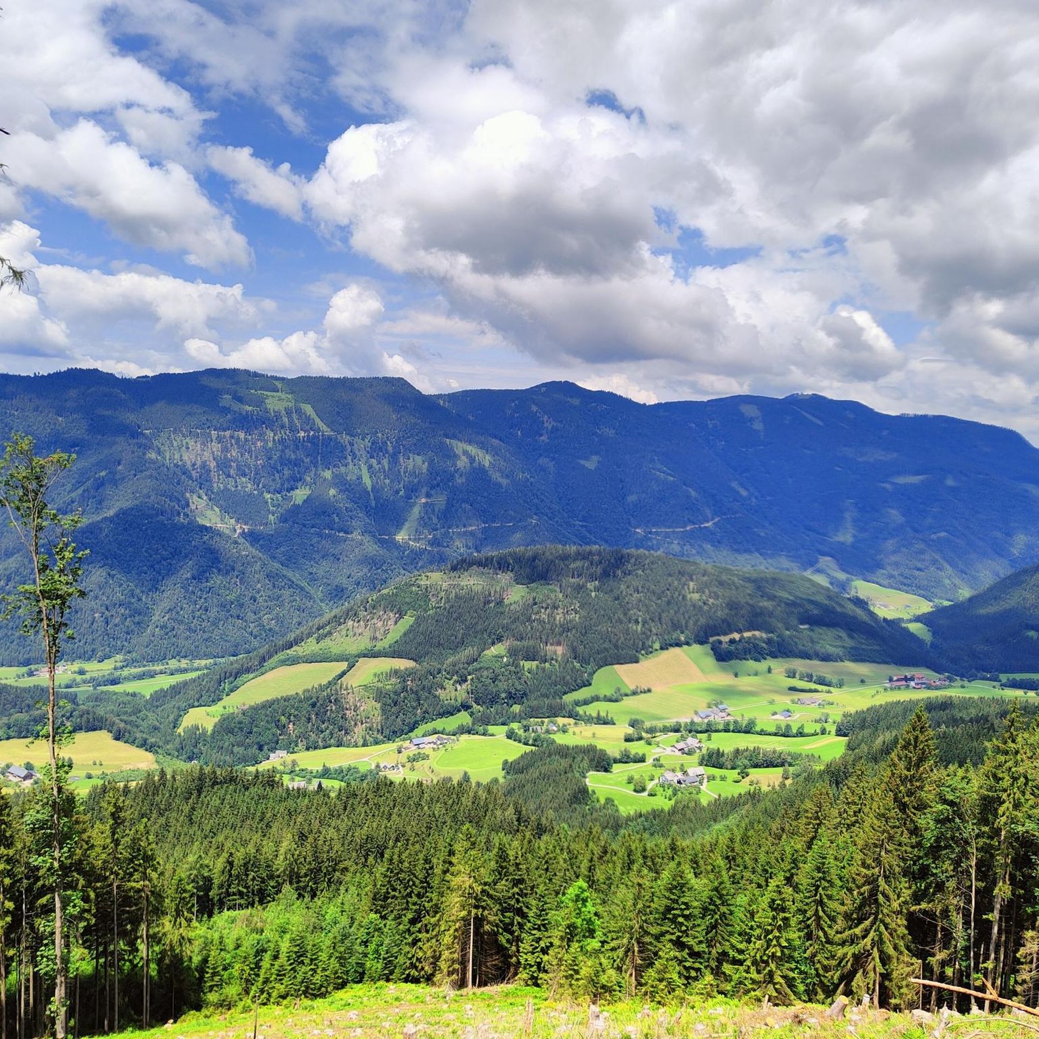
MTB Trails around Hollenstein an der Ybbs
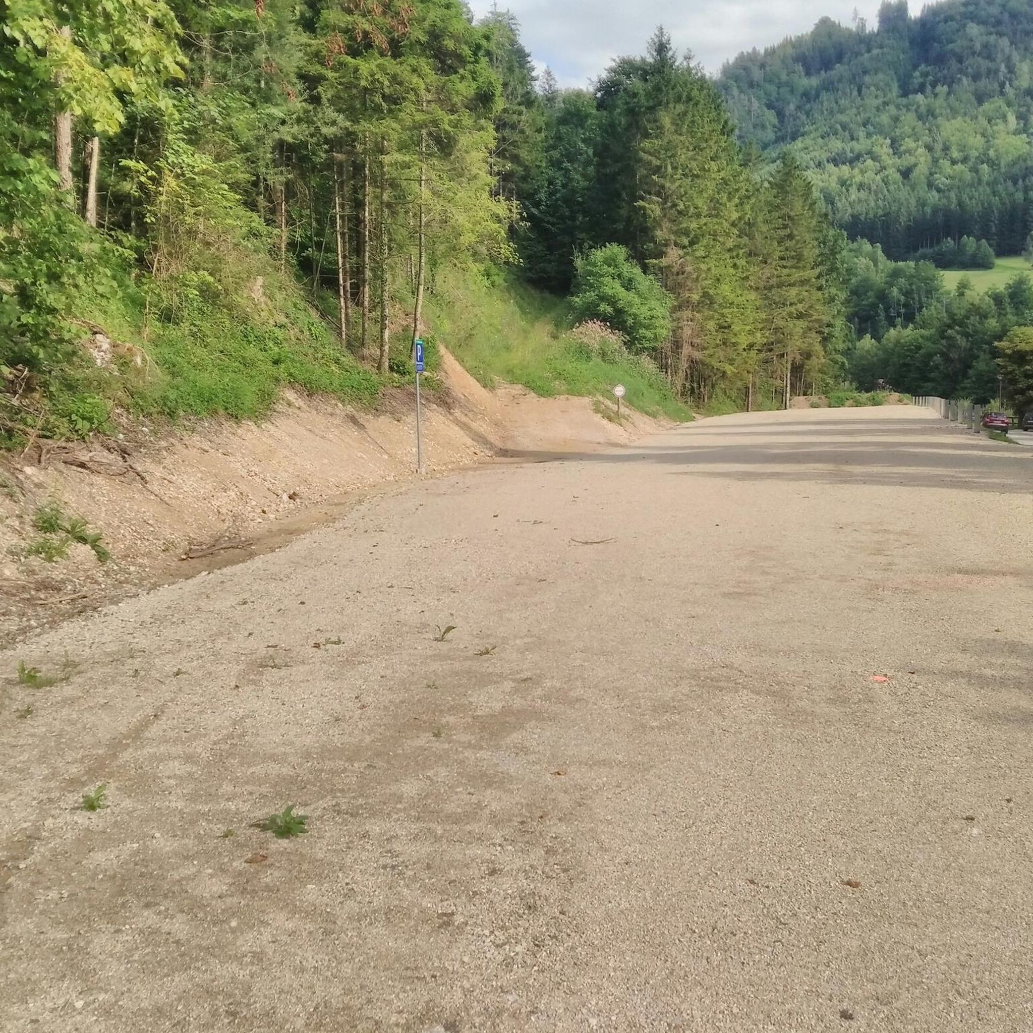
Running Trails around Hollenstein an der Ybbs
Gravel biking around Hollenstein an der Ybbs
Other adventures around Hollenstein an der Ybbs


Tips from the Community


„Is it always something special for you?“ asks the presenter Werner Schmidbauer, as he reaches the summit cross crowning the mountain together with the Munich pastor Rainer Maria Schießler in an episode of the Bayerisches Fernsehen series „Gipfeltreffen“. I would like to offer his short but concise answer to all those who linger at the Hochkar in front of this sacred monument for contemplation: „The cross has always been a sign of encouragement, hope, departure, life for me. That's how my parents taught me...“
0
0

Very nice, friendly service and great MBT!
0
0

"The Voralpe, or Voralm, is a mountain in the Ybbstal Alps in the border triangle of Lower Austria, Upper Austria, and Styria. The mountain has two main peaks: the 1,770 m (5,700 ft) high Stumpfmauer on the border between Lower Austria and Upper Austria, which drops steeply to the southeast; and further southwest, the 1,727 m (5,700 ft) high Tanzboden on the border between Lower Austria and Styria. The border triangle is located in the saddle between the peaks. The Stumpfmauer is the highest elevation in the Steyr-Land district. The Voralpe can be climbed from Hollenstein an der Ybbs or from Altenmarkt, partly via roads and partly via trails, in about three hours. The crossing from one peak to the other takes about 45 minutes. The Eisenwurzenweg (Austrian Long-Distance Hiking Trail 08) also leads over the Voralpe." https://de.wikipedia.org/wiki/Voralpe
0
0

Good stamina required! One of the most beautiful mountains with a view!
0
0

It is a beautiful panorama that you can experience here.
0
0

It is a very long climb from Hollenstein/Sandgaben (Lower Austria) or Palfau (Styria) to the summit, but the view is magnificent.
3
0
Frequently Asked Questions
How many mountaineering routes are available in Hollenstein an der Ybbs?
There are over a dozen dedicated mountaineering routes around Hollenstein an der Ybbs, offering a range of experiences within the Lower Austrian Eisenwurzen Nature Park.
What is the general difficulty level of mountaineering routes in Hollenstein an der Ybbs?
The majority of mountaineering routes in Hollenstein an der Ybbs are considered difficult, with 10 out of 12 routes falling into this category. There are also 2 moderate routes available for those seeking a less strenuous challenge.
Are there any circular mountaineering routes in Hollenstein an der Ybbs?
Yes, many of the routes are designed as loops, allowing you to start and finish at the same point. For example, you could explore the Stumpfmauer Summit View – Stumpfmauer (1770 m) loop from Wenten or the Sandgraben – Gamsstein (1,770 m) loop from Naturpark Eisenwurzen.
What kind of landscapes can I expect to see on a mountaineering route here?
Mountaineering in Hollenstein an der Ybbs offers incredibly diverse landscapes. You'll traverse deep, wooded gorges, encounter rugged rock faces, and enjoy serene forest moors and vibrant alpine meadows. The prominent peaks like Gamsstein and Stumpfmauer provide spectacular panoramas.
What are some notable natural attractions or landmarks I might encounter?
The region is rich in natural beauty. You might come across impressive summits like High cirque or Lindaumauer Summit. The area is also known for its waterfalls, including the notable Schleierfall Waterfall (Wasserlochklamm), which plunges 67 meters.
Are there any routes that offer views of the Ybbs River?
While specific routes aren't listed as directly following the Ybbs River, the river is a defining feature of the region. Many routes offer expansive views of the surrounding valleys and mountains, where the Ybbs River meanders through the landscape. You can also find opportunities for relaxation by the river after your hike.
What do other mountaineers say about the routes in Hollenstein an der Ybbs?
The mountaineering routes in Hollenstein an der Ybbs are highly rated by the komoot community, with an average score of 4.75 stars from over 10 reviews. Users often praise the challenging terrain, breathtaking views, and the well-maintained network of trails.
Can I find any places for a refreshing dip after a hike?
Yes, the region offers several spots for a refreshing dip. You could visit the Landl Swimming Lake & Campground or explore other natural water bodies like Rothschild Pond or Biotope Pond.
Are there any routes suitable for experienced mountaineers looking for a challenge?
Absolutely. Hollenstein an der Ybbs is known for its challenging tours. Routes like the Hochkogel (1774 m) – Gamsstein (1,770 m) loop from Palfau, covering 16.4 km with significant elevation gain, are ideal for experienced and sure-footed hikers seeking long, rewarding ascents through varied alpine terrain.
What is the best time of year for mountaineering in this region?
The warmer months, typically from late spring to early autumn, are generally the best time for mountaineering in Hollenstein an der Ybbs. During this period, trails are usually clear of snow, and the alpine meadows are in full bloom, offering pleasant conditions and spectacular views.
Are there any specific peaks that are popular for mountaineering?
Yes, prominent peaks like Gamsstein (1,774 m) and Voralpe/Stumpfmauer (1,770 m) are very popular. Routes such as the Stumpfmauer Summit View – Stumpfmauer (1770 m) loop from Wenten offer panoramic views from these high points.
Where can I find parking for mountaineering trails?
Many of the mountaineering routes, especially loop trails, typically have designated parking areas at their starting points. For instance, routes like the Sandgraben – Gamsstein (1,770 m) loop from Naturpark Eisenwurzen often begin near accessible parking facilities within the nature park.
Most popular routes around Hollenstein an der Ybbs
Most popular attractions around Hollenstein an der Ybbs

Get inspired with the komoot mobile app


Explore more
Browse the best Mountain Hikes & Routes in other regions.
