The best gravel rides around Hollenstein an der Ybbs
3.3
(3)
24
riders
4
rides
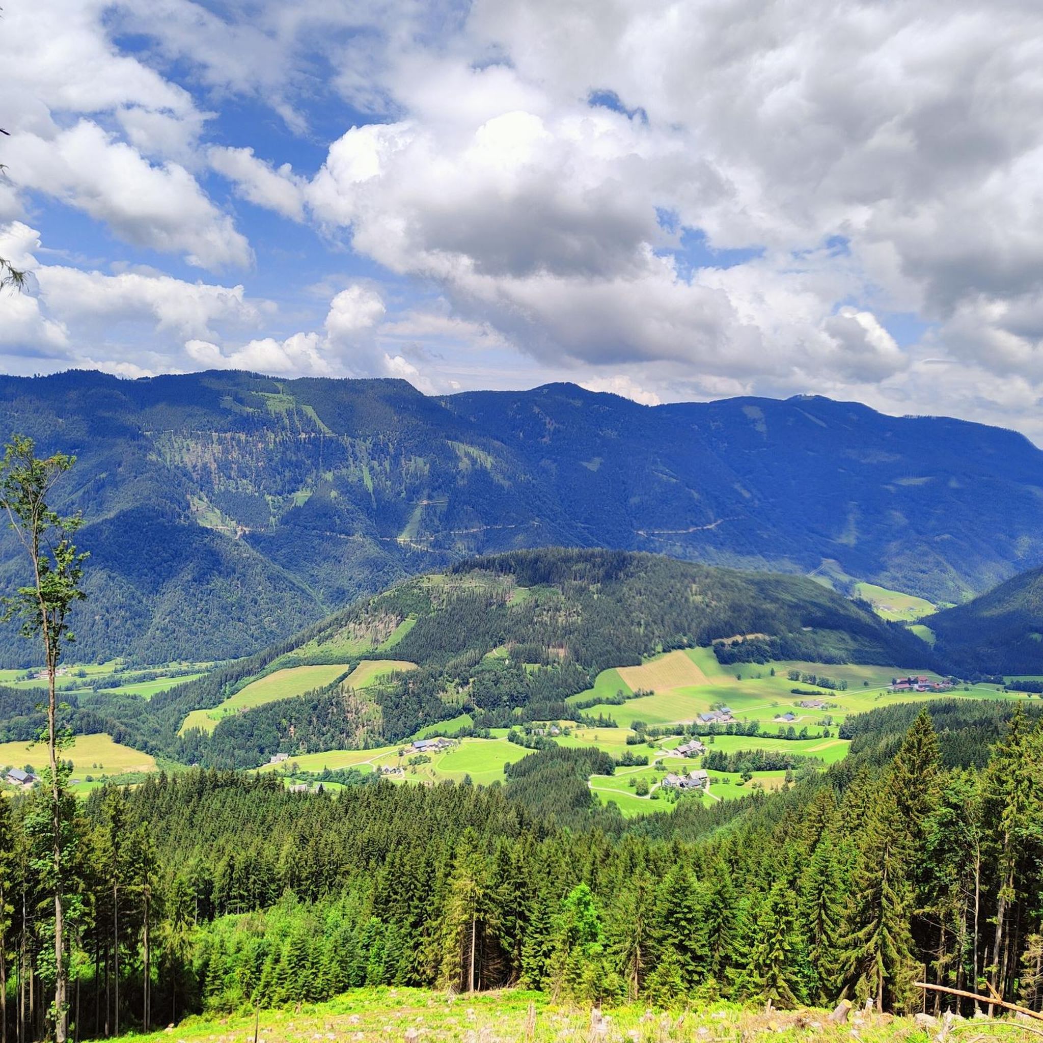
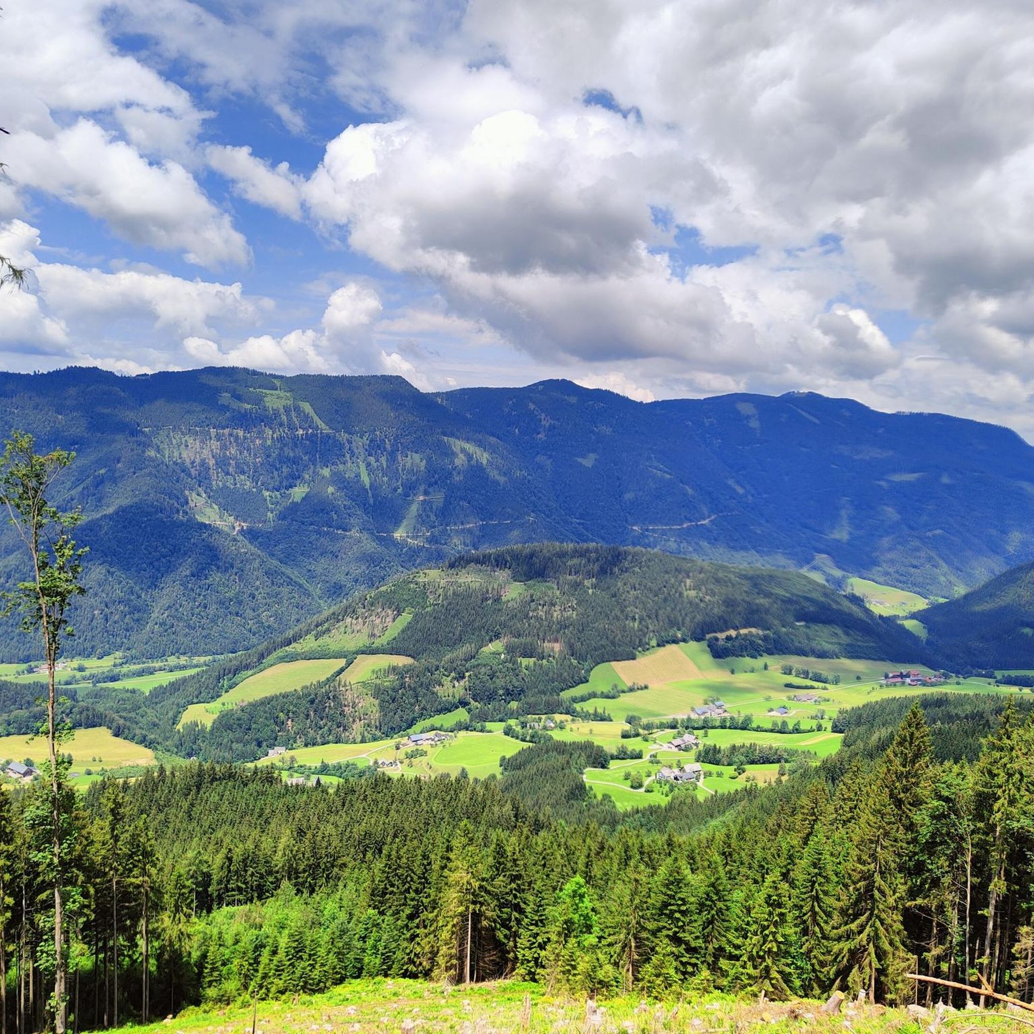
Gravel biking around Hollenstein an der Ybbs is characterized by its location within the Niederösterreichische Voralpen and Alpenvorland, featuring mountains such as Gamsstein and Voralpe. The region is part of the Lower Austrian Eisenwurzen Nature Park, which encompasses diverse landscapes including wooded gorges, rugged rock faces, and alpine meadows. The Ybbs River flows through the area, contributing to the varied terrain suitable for gravel cycling. This environment offers a mix of climbs and scenic paths.
Best gravel bike trails around Hollenstein an der Ybbs
- The most popular gravel bike trail is Hollenstein – Siebenhütten Alm loop from Hollenstein an der Ybbs, a 24.0 miles (38.6 km) trail that takes 3 hours 32 minutes to complete. This difficult route features significant elevation gain through forested areas.
- Another top favourite among local gravel bikers is Lassingbach – View of Hochkar loop from Mendlingpass, a difficult 12.2 miles (19.6 km) path. This route offers views towards Hochkar and involves substantial climbing.
- Local gravel bikers also love the At the Gaflenzbach – Moosgraben Rest Area loop from Platten, a 35.9 miles (57.8 km) trail leading through varied terrain along the Gaflenzbach, often completed in about 5 hours 16 minutes.
- Gravel biking around Hollenstein an der Ybbs is defined by its wooded gorges, rugged rock faces, and alpine meadows, alongside the Ybbs River. The network offers options for experienced riders seeking challenging climbs and technical descents.
- The routes in Hollenstein an der Ybbs are highly rated by the komoot community with an average score of 3.5 stars from over 7 reviews. More than 50 gravel bikers have used komoot to explore Hollenstein an der Ybbs's varied terrain.
Last updated: May 27, 2026
4.0
(1)
7
riders
38.6km
03:32
1,180m
1,180m
Hard gravel ride. Very good fitness required. Mostly paved surfaces. Suitable for all skill levels.
9
riders
19.6km
01:51
850m
850m
Hard gravel ride. Very good fitness required. Mostly paved surfaces. Suitable for all skill levels.

Sign up for free
4
riders
46.1km
03:19
1,010m
1,010m
Hard gravel ride. Very good fitness required. Mostly paved surfaces. Suitable for all skill levels.
2.0
(1)
2
riders
32.4km
02:22
620m
620m
Hard gravel ride. Very good fitness required. Mostly paved surfaces. Suitable for all skill levels.
4.0
(1)
2
riders
18.5km
01:37
610m
610m
Hard gravel ride. Very good fitness required. Mostly paved surfaces. Suitable for all skill levels.
Our route recommendations are based on thousands of hikes, rides, and runs completed by other people on komoot.
Start today with a free account
Your next adventure awaits.
Login or Signup
Popular around Hollenstein an der Ybbs

Eisenwurzen Trail – Hiking through Austria from north to south
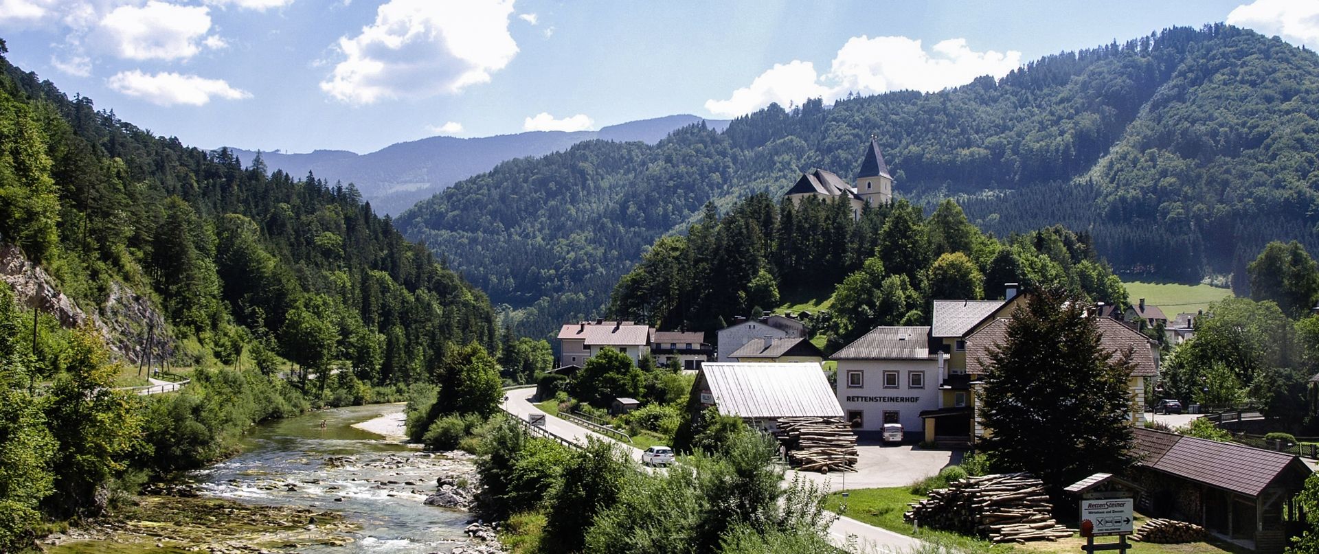
Ybbs Valley Cycle Path – Follow the tracks of the "Schafkäs-Express"
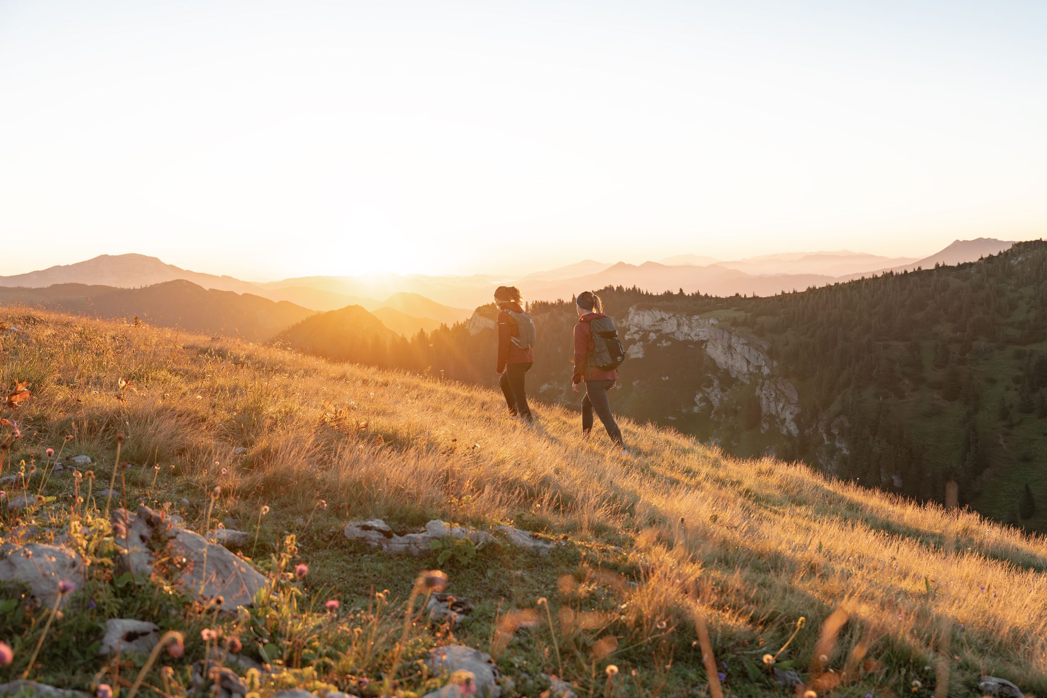
Get away from it all – experience the Mostviertel's six most beautiful hikes
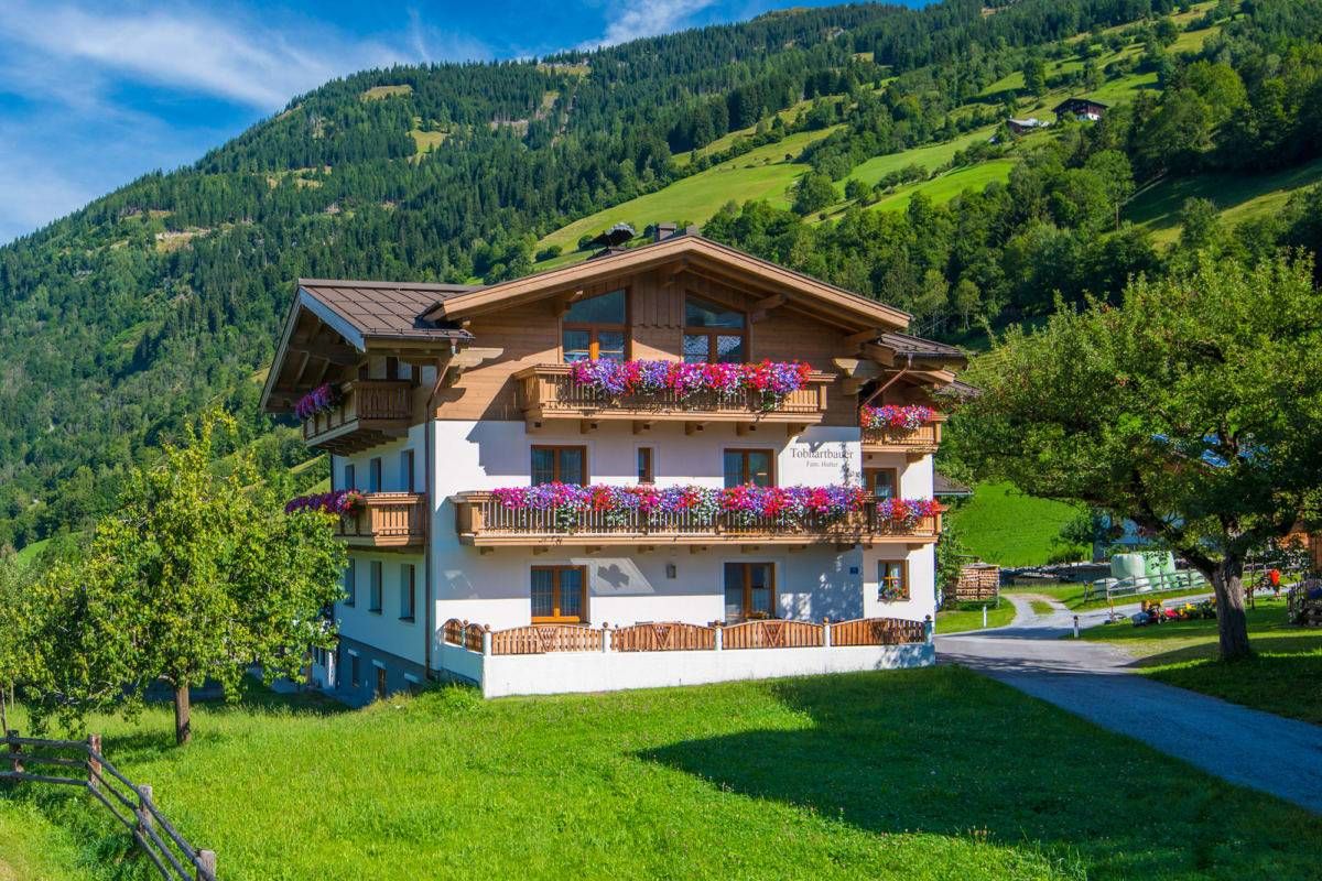
Sun, mountains, bathing fun – an active vacation on Austria's Farms
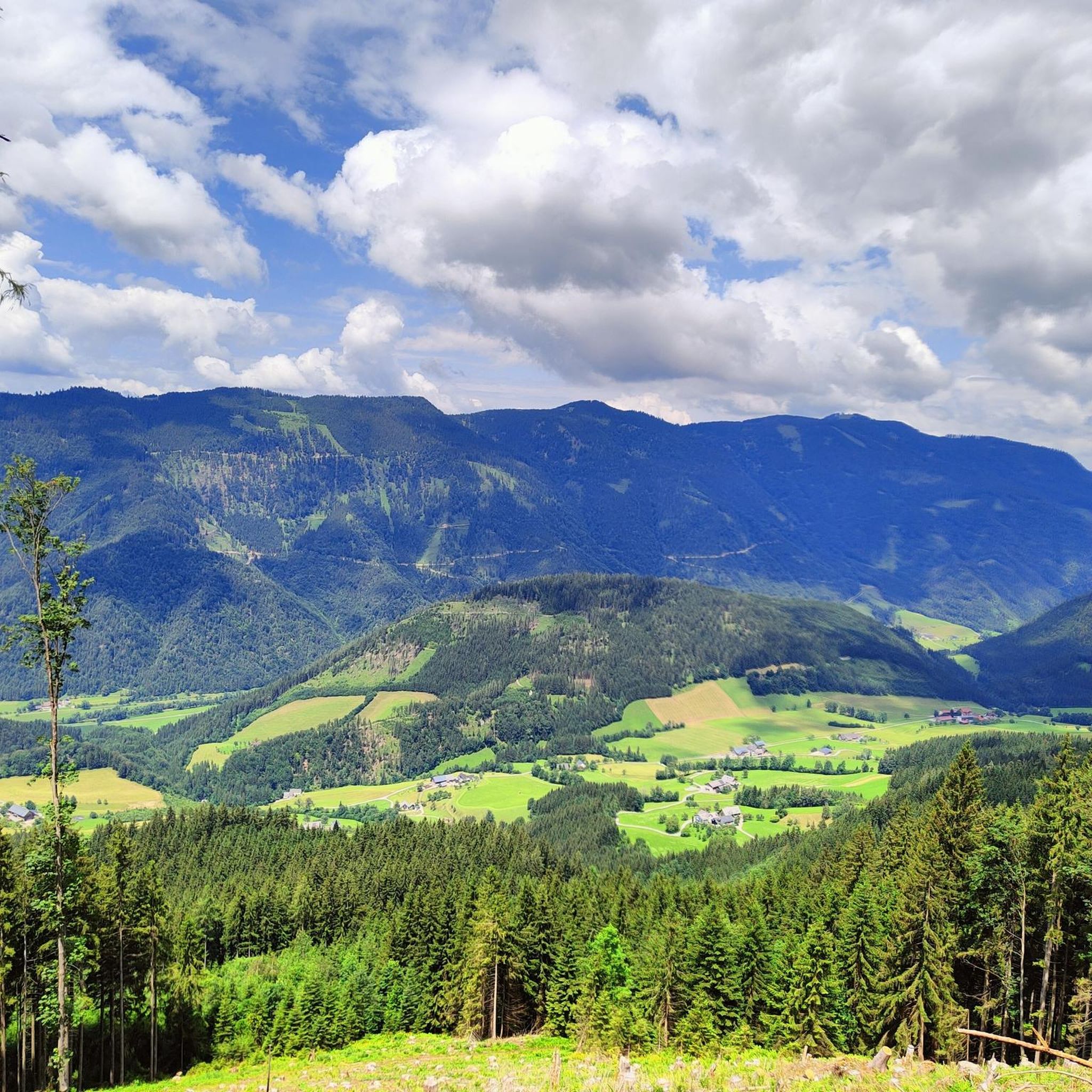
Road Cycling Routes around Hollenstein an der Ybbs
Hiking around Hollenstein an der Ybbs
Cycling around Hollenstein an der Ybbs
MTB Trails around Hollenstein an der Ybbs
Mountain Hikes around Hollenstein an der Ybbs
Running Trails around Hollenstein an der Ybbs
Other adventures around Hollenstein an der Ybbs


Tips from the Community

This is the starting point for the ascent to Glatzberg.
1
0


Of course it is a bridge over the Ybbs!!!
0
0
With the bypass, the market square has become less traffic-intensive
1
0


Near Ybbsitz
1
0
Low-traffic route from Gaflenz to Kleinhollenstein
0
0
Frequently Asked Questions
What is the general difficulty level of gravel bike trails in Hollenstein an der Ybbs?
The gravel bike trails around Hollenstein an der Ybbs are generally considered difficult. All five routes listed in this guide feature significant elevation gains and are best suited for experienced riders seeking a challenge.
What kind of terrain can I expect on gravel bike trails around Hollenstein an der Ybbs?
You can expect a diverse range of terrain, reflecting the region's location within the Niederösterreichische Voralpen and Alpenvorland. Trails often traverse wooded gorges, rugged rock faces, and idyllic alpine meadows. The Ybbs River also plays a significant role, with routes sometimes following its course or offering views of its valley. For example, the At the Gaflenzbach – Moosgraben Rest Area loop from Platten leads through varied terrain along the Gaflenzbach.
Are there any waterfalls or notable natural features along the gravel bike routes?
Yes, the region is rich in natural beauty. The famous Schleierfall Waterfall (Wasserlochklamm), where water plunges 67 meters, is a significant natural attraction nearby. While not directly on every gravel route, the area is characterized by wooded gorges and the scenic Ybbs River. One route, the Kalktuff Waterfall – Töpper Bridge (Töpperbrücke) loop from Pramellehen, specifically highlights a waterfall.
Which gravel bike route offers the most challenging climb or longest distance?
For a significant challenge, the At the Gaflenzbach – Moosgraben Rest Area loop from Platten is the longest at 35.9 miles (57.8 km) and features substantial elevation gain. Another demanding option is the Hollenstein – Siebenhütten Alm loop from Hollenstein an der Ybbs, which is 24.0 miles (38.6 km) with over 1100 meters of ascent.
Are there any family-friendly gravel bike trails in Hollenstein an der Ybbs?
The gravel bike routes detailed in this guide are all rated as difficult, involving significant climbs and distances, making them less suitable for young children or beginners. However, the broader region offers the Ybbstal Cycle Path, which follows a former railway embankment and provides a smoother, more scenic ride that might be more appropriate for families looking for an easier cycling experience.
What points of interest can I explore while gravel biking in the area?
Beyond the natural landscapes, you can encounter several points of interest. The Ybbstal Cycle Path itself is a highlight. You might also pass by the Lindaumauer Summit or experience the unique Wooden Walkway in Mendlingtal Gorge. The region is part of the Lower Austrian Eisenwurzen Nature Park, offering diverse landscapes to explore.
What do other gravel bikers say about the trails in Hollenstein an der Ybbs?
The gravel biking routes in Hollenstein an der Ybbs are highly rated by the komoot community, with an average score of 3.5 stars from over 7 reviews. Users often appreciate the challenging climbs, the diverse natural scenery, and the feeling of immersion in the forested areas and alpine meadows.
Are the gravel bike trails typically circular routes?
Yes, many of the gravel bike trails in Hollenstein an der Ybbs are designed as circular loops, allowing you to start and end your ride in the same location. Examples include the Hollenstein – Siebenhütten Alm loop from Hollenstein an der Ybbs and the Lassingbach – View of Hochkar loop from Mendlingpass.
What is the best time of year for gravel biking in Hollenstein an der Ybbs?
The best time for gravel biking in Hollenstein an der Ybbs is typically from spring through autumn. During these seasons, the weather is generally more favorable, and the trails are free from snow and ice, allowing for optimal riding conditions through the region's diverse landscapes of gorges, rock faces, and alpine meadows.
Is public transport available to access the gravel bike trails in Hollenstein an der Ybbs?
Hollenstein an der Ybbs has historical connections to the Ybbstalbahn, and while specific current public transport links directly to trailheads for gravel biking aren't detailed, the region is generally accessible. It's advisable to check local bus schedules or regional train connections to Hollenstein an der Ybbs for the most up-to-date information on reaching the area.
Can I bring my dog on the gravel bike trails in Hollenstein an der Ybbs?
While there are no specific rules against dogs mentioned for the gravel trails, it's always recommended to keep dogs on a leash, especially in nature park areas like the Lower Austrian Eisenwurzen Nature Park, and to be mindful of other trail users and wildlife. Ensure your dog is fit enough for difficult, long rides with significant elevation.
Which route offers the best scenic views?
The Lassingbach – View of Hochkar loop from Mendlingpass is particularly noted for offering impressive views towards Hochkar, making it an excellent choice for riders seeking panoramic vistas during their gravel adventure.
Most popular routes around Hollenstein an der Ybbs
Most popular attractions around Hollenstein an der Ybbs

Get inspired with the komoot mobile app


