The best mountain hikes around Obervellach
4.9
(55)
420
hikers
17
hikes
Mountaineering around Obervellach, situated in Carinthia, Austria, offers access to diverse and dramatic natural landscapes. The region is characterized by its proximity to the Hohe Tauern National Park, featuring numerous towering peaks, glaciers, and high alpine terrain. Deep gorges like the Raggaschlucht, with its impressive waterfalls and steep rock faces, also contribute to the varied environment for alpine activities. This area provides a spectrum of challenges, from demanding ascents to routes incorporating natural features such as mountain huts and high-altitude…
Last updated: September 28, 2026
4.9
(7)
51
hikers
12.8km
05:33
810m
810m
Hard mountaineering route. Very good fitness required. Mostly accessible paths. Sure-footedness required.
5.0
(1)
49
hikers
Moderate mountaineering route. Good fitness required. Easily-accessible paths. Suitable for all skill levels.

5.0
(5)
26
hikers
6.02km
04:41
740m
740m
Hard mountaineering route. Good fitness required. Sure-footedness, sturdy shoes and alpine experience required.
12
hikers
15.2km
06:36
1,170m
1,170m
Hard mountaineering route. Very good fitness required. Mostly accessible paths. Sure-footedness required.
19
hikers
17.8km
07:44
1,220m
1,220m
Hard mountaineering route. Very good fitness required. Sure-footedness, sturdy shoes and alpine experience required.
Get access to more routes and recommendations from other explorers.
Already have an account?
Our route recommendations are based on thousands of hikes, rides, and runs completed by other people on komoot.
Start today with a free account
Your next adventure awaits.
Popular around Obervellach
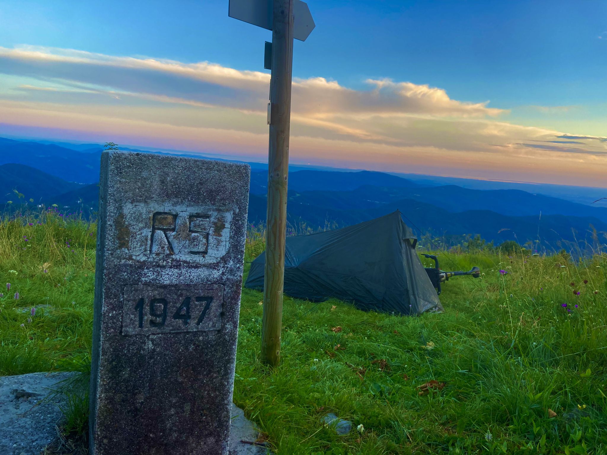
From Bavaria to the Adriatic - My Bikepacking Adventure to Croatia 2023

Alpe-Adria-Trail: My long-distance hike from the glacier to the sea
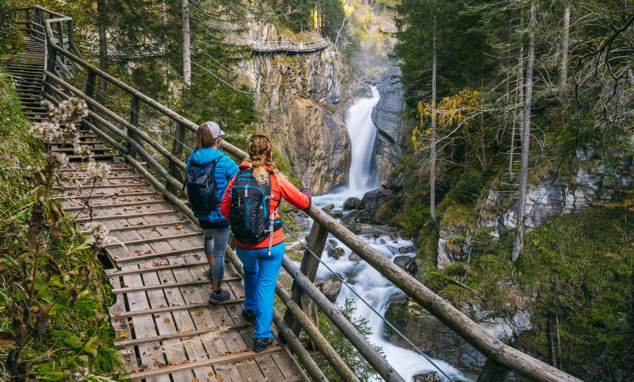
Experiences for all the senses – gorge hikes in the High Tauern
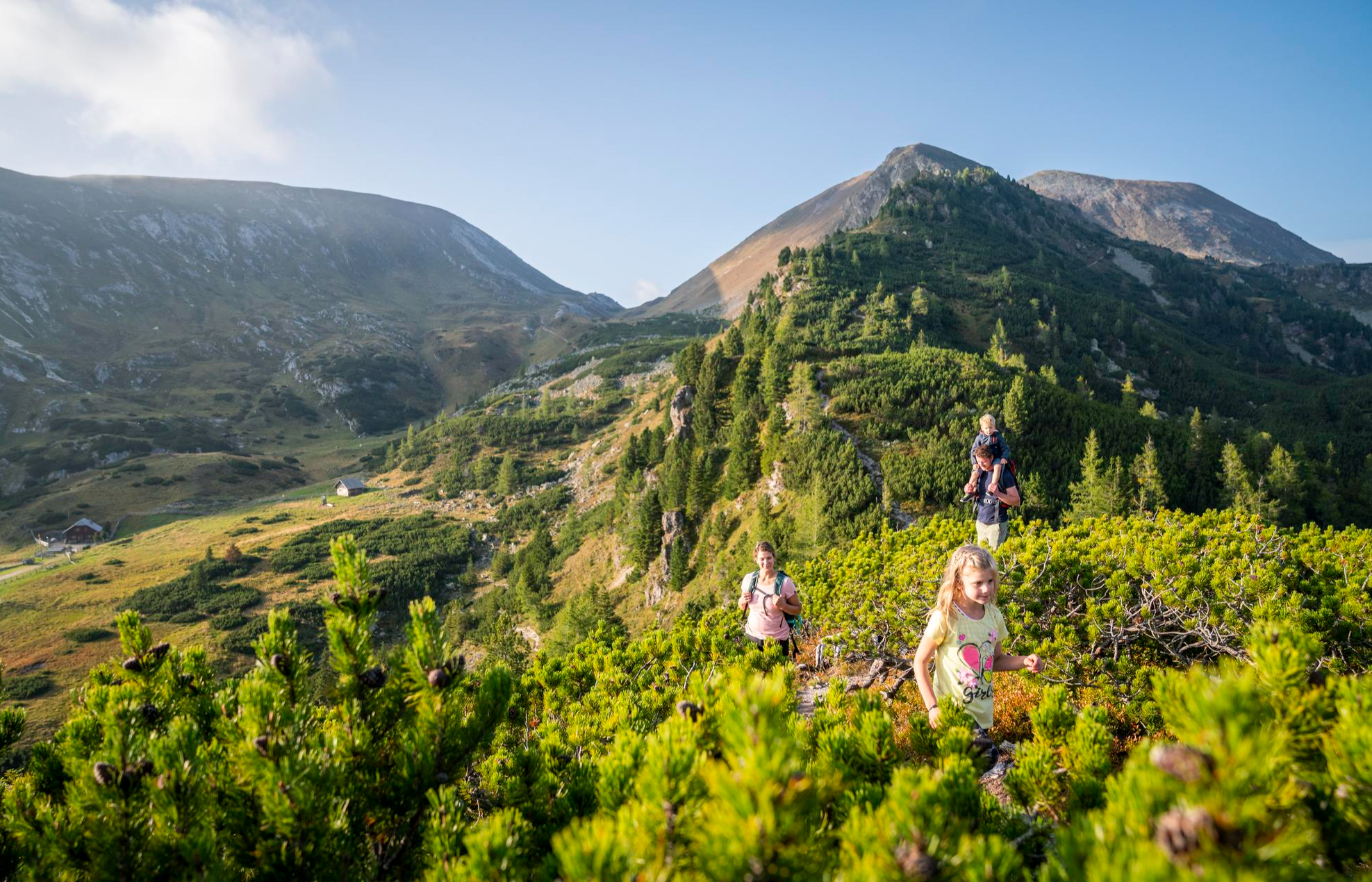
Joyous adventures experienced together – family hiking in Carinthia

Magnificent mountain biking on Austria's alpine pastures
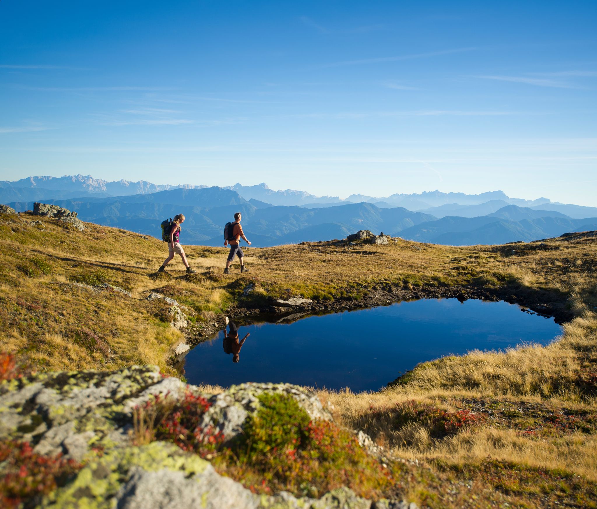
Hiking Without a Footprint on the Alpe-Adria-Trail
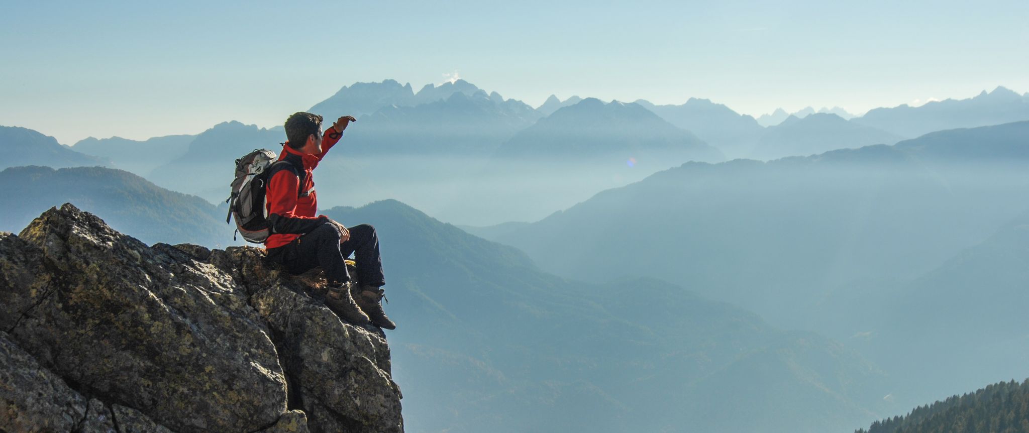
Peaks and gorges in the Hohe Tauern

From the Grossglockner to the sea on the Alpe Adria Trail

The most beautiful waterfalls of the Alps
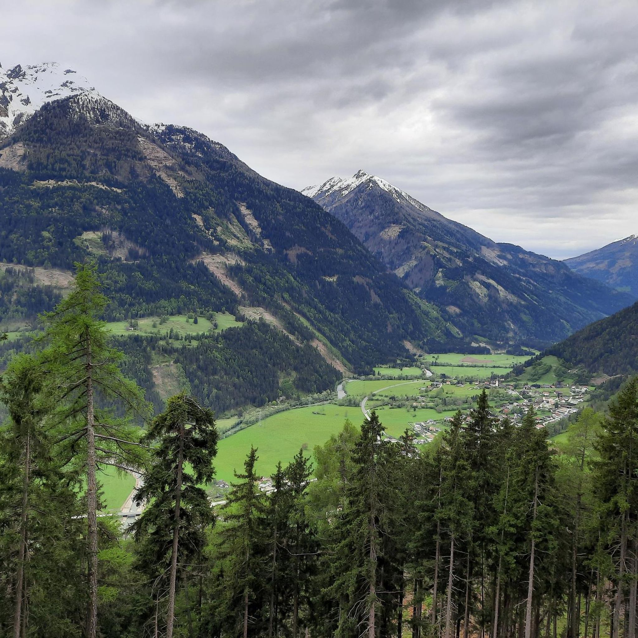
Hiking around Obervellach
Other adventures around Obervellach


Tips from the Community

Very modern, well-equipped hut, but also more expensive, especially the breakfast at 22 euros.
0
0

The most beautiful part of the trail is the Arthur von Schmid House. There you can take a lovely break in the best scenery.
0
0

Super nice hut and an incredibly nice hut host!
0
0

It is probably emptied daily...by whom? In any case, we were not prepared and did not have a map with us. It was a bit too windy for a break, so we sat down in the lee of the nearby lake.
0
0

This hike is easy to do
0
0
Fantastically beautiful to do, especially early in the morning.
0
0

Nice hut with friendly host and delicious food
1
1

Not very difficult, very varied, high alpine mountain hike in a unique landscape. However, you need to be in good shape - it is also possible to spend the night in the Arthur-von-Schmid-Haus. You definitely need to be sure-footed and not afraid of heights for the final climb over the southern ridge.
2
0
Frequently Asked Questions
What types of mountaineering routes can I find around Obervellach?
Obervellach, nestled near the Hohe Tauern National Park, offers a wide variety of mountaineering experiences. You'll find everything from challenging ascents in high alpine terrain to routes that explore dramatic gorges and lead to mountain huts. The region provides options for easy, moderate, and difficult ability levels, with a total of 20 routes available.
Are there any easy mountaineering routes suitable for beginners or families?
Yes, while many routes are challenging, there are options for easier mountaineering. For instance, the Raggaschlucht Gorge loop from Flattach is an easy route that takes you through a stunning natural gorge with impressive waterfalls, offering a less strenuous yet rewarding alpine experience.
What natural attractions or landmarks can I see along the mountaineering routes?
The region is rich in natural beauty. You can explore impressive gorges like the Ragga gorge and waterfalls, which features a 10-meter high waterfall, or the Groppenstein Gorge with its own spectacular Groppenstein Waterfall. Many routes also lead to or pass by mountain huts, offering stunning views and a chance to rest.
Are there any circular mountaineering routes in Obervellach?
Yes, several routes are designed as loops, allowing you to start and end at the same point. An example is the Gießener Hütte loop from Parkplatz Obere Thomanbaueralm 1677 m, a moderate trail leading through high alpine meadows.
What do other mountaineers say about the routes in Obervellach?
The mountaineering routes around Obervellach are highly regarded by the komoot community, with an average score of 4.9 stars from over 50 reviews. Users often praise the dramatic high alpine environments, the well-maintained trails, and the breathtaking views within the Hohe Tauern National Park.
Can I find mountain huts along the trails for overnight stays or refreshments?
Absolutely. The region has a network of mountain huts that serve as crucial bases for multi-day tours or places to rest. Notable huts include the Duisburger Hut, which offers stunning views, and the Hannoverhaus. These huts provide shelter and sustenance in higher elevations.
Are there any routes that offer views of glaciers or high-altitude reservoirs?
Yes, the proximity to the Hohe Tauern National Park means you can experience glacial landscapes. The Blockgletscherweg Trail – Dösenerhütte loop from Blockgletscherweg Dösental is a difficult route that specifically explores glacial environments and leads to a mountain hut.
What is the best time of year for mountaineering in Obervellach?
The best time for mountaineering in Obervellach is typically during the summer months, from late June to early September, when the high alpine trails are generally free of snow and weather conditions are more stable. However, always check local weather forecasts and trail conditions before heading out, as conditions can change rapidly in the mountains.
Are there any particularly challenging mountaineering routes for experienced climbers?
For experienced mountaineers seeking a challenge, Obervellach offers several difficult routes. The Gießener Hütte loop from Gießener Hütte is a demanding path featuring sustained climbing through alpine terrain, often taking around 7 hours to complete.
Are dogs allowed on the mountaineering trails around Obervellach?
Generally, dogs are permitted on most hiking and mountaineering trails in the Hohe Tauern National Park region, but they must be kept on a leash, especially in protected areas and near livestock. Always ensure your dog is well-behaved and capable of handling the terrain and elevation changes. It's advisable to check specific trail regulations or local signage for any restrictions.
Can I reach any significant mountain peaks from Obervellach?
Yes, the region provides access to impressive peaks. For example, the Dösner Lake – Säuleck Summit (3,086 m) loop from Dösener See offers a challenging ascent to a significant summit, providing panoramic views of the surrounding Hohe Tauern range.
Most popular routes around Obervellach
Most popular attractions around Obervellach

Get inspired with the komoot mobile app


Explore more
Browse the best Mountain Hikes & Routes in other regions.
