The best hikes from bus stations around Obervellach
4.7
(1555)
7,789
hikers
31
hikes
Hiking around Obervellach, situated within the Hohe Tauern National Park in Carinthia, Austria, offers access to a diverse alpine environment. The region is characterized by dramatic gorges, such as Groppenstein and Rabisch, carved by water, alongside the scenic Möll Valley and numerous alpine pastures. Trails often feature waterfalls, rapids, and views of the surrounding mountains, providing varied terrain for outdoor activities.
Best bus station hiking trails around Obervellach
- The most popular bus station hiking route is Groppenstein Gorge – Groppenstein…
Last updated: August 20, 2026
4.6
(53)
232
hikers
Moderate hike. Good fitness required. Easily-accessible paths. Suitable for all skill levels.
4.6
(20)
71
hikers
Moderate hike. Good fitness required. Easily-accessible paths. Suitable for all skill levels.

Sign up for free
4.5
(8)
35
hikers
14.4km
04:20
400m
400m
Moderate hike. Good fitness required. Easily-accessible paths. Suitable for all skill levels.
4.0
(7)
28
hikers
5.48km
01:46
230m
230m
Easy hike. Great for any fitness level. Easily-accessible paths. Suitable for all skill levels.
4.4
(7)
29
hikers
15.7km
04:52
560m
560m
Moderate hike. Good fitness required. Easily-accessible paths. Suitable for all skill levels.
Get access to more routes and recommendations from other explorers.
Sign up for free
Already have an account?
Our route recommendations are based on thousands of hikes, rides, and runs completed by other people on komoot.
Start today with a free account
Your next adventure awaits.
Login or Signup
Popular around Obervellach

Alpe-Adria-Trail: My long-distance hike from the glacier to the sea
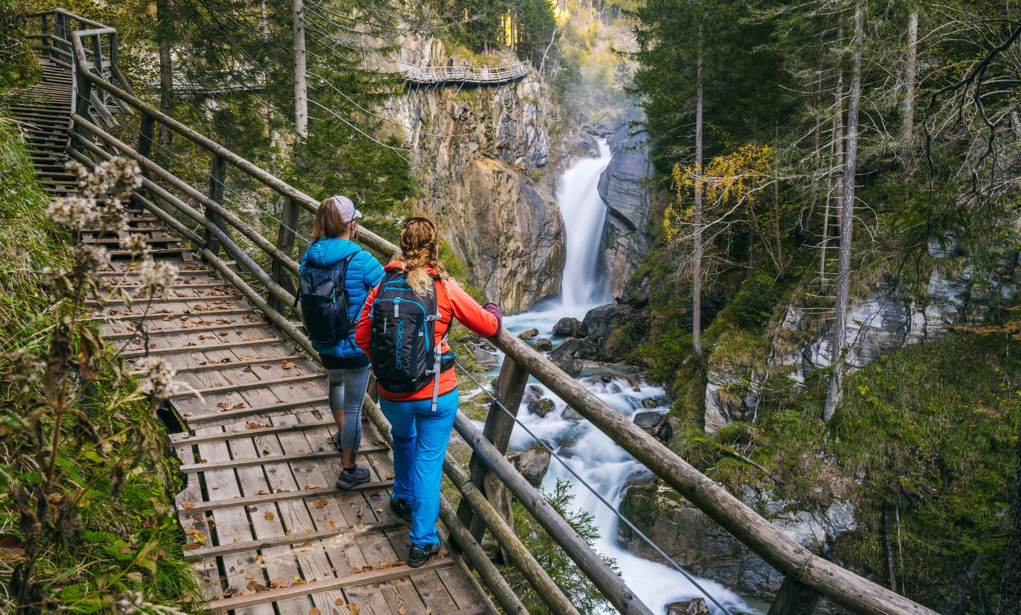
Experiences for all the senses – gorge hikes in the High Tauern
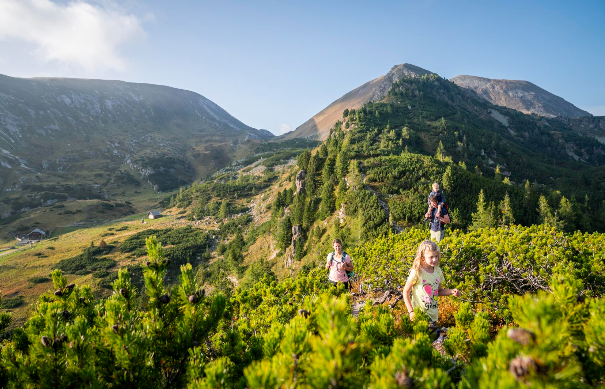
Joyous adventures experienced together – family hiking in Carinthia
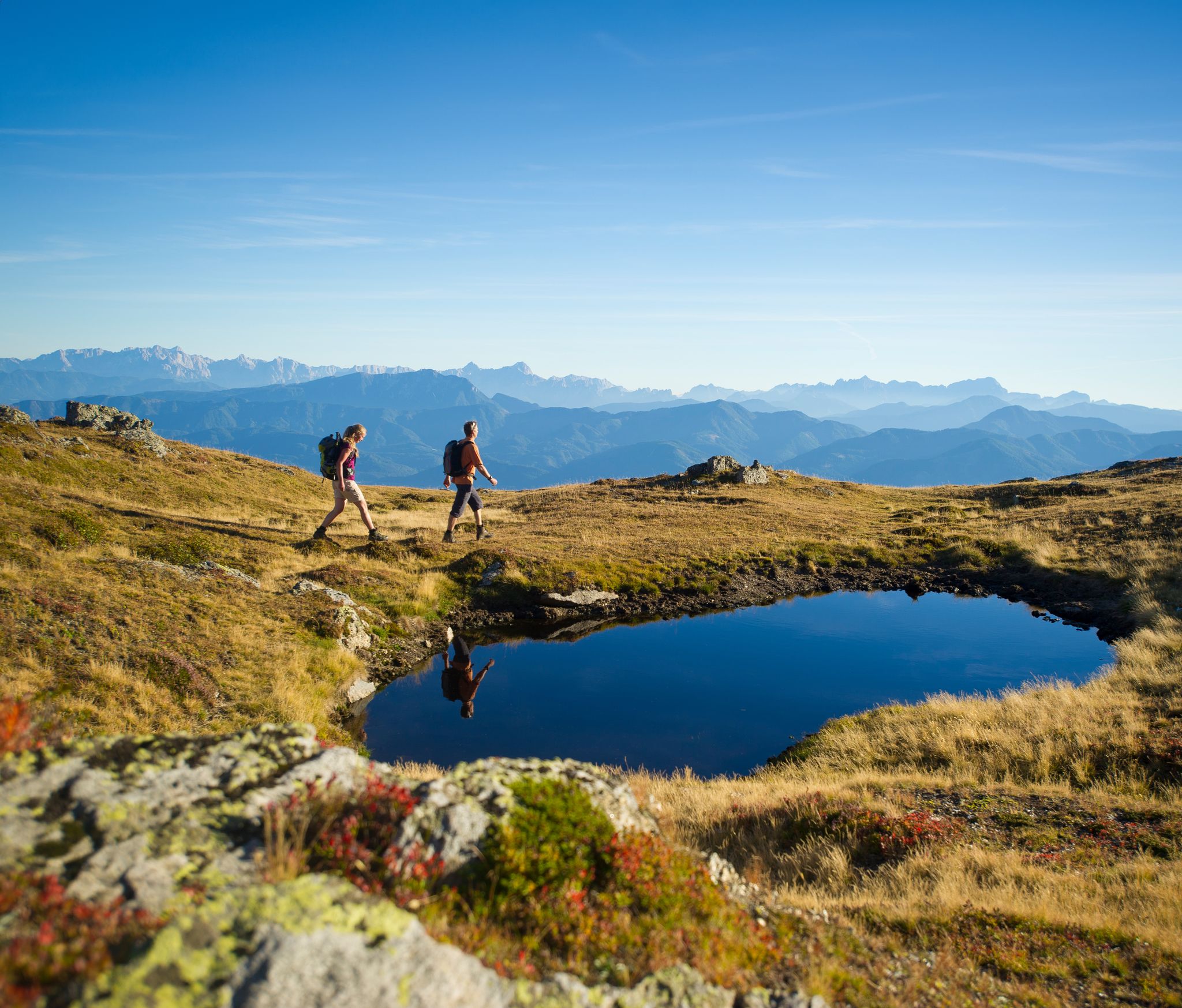
Hiking Without a Footprint on the Alpe-Adria-Trail
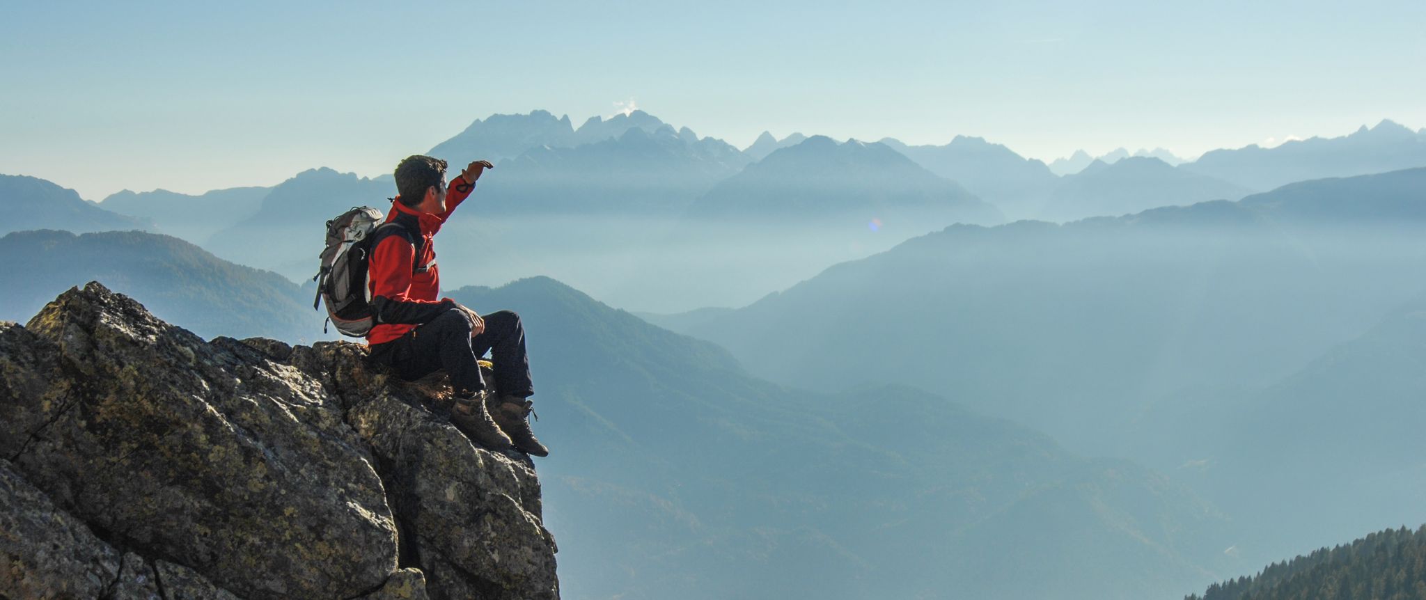
Peaks and gorges in the Hohe Tauern

From the Grossglockner to the sea on the Alpe Adria Trail

The most beautiful waterfalls of the Alps
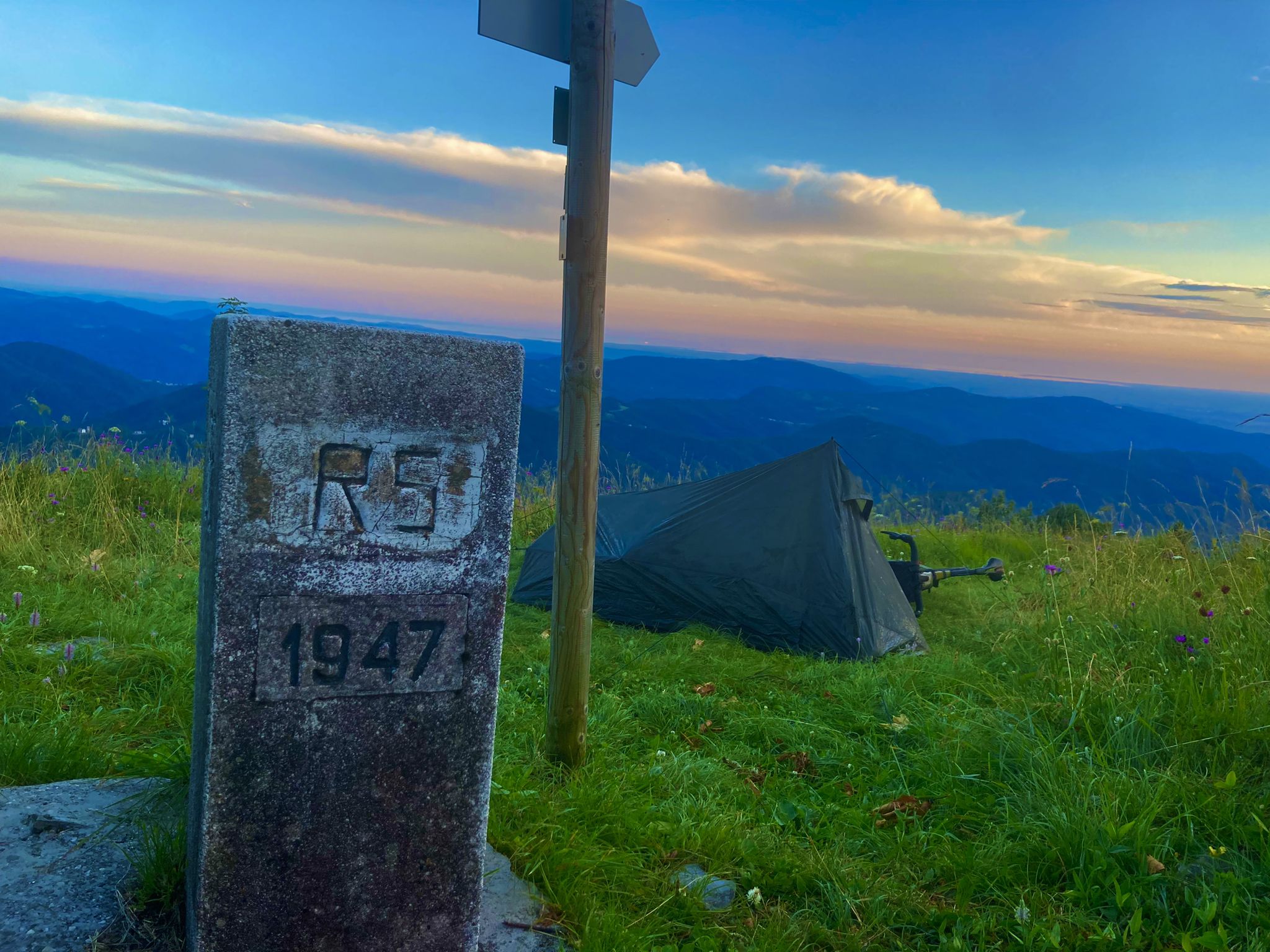
From Bavaria to the Adriatic - My Bikepacking Adventure to Croatia 2023

Magnificent mountain biking on Austria's alpine pastures
Other adventures around Obervellach


Tips from the Community

Certainly the most interesting with a notable flow of water and a drop of about 30 metres.
0
0
A magnificent walk suitable for everyone, along paths and walkways that are always safe. The waterfalls are truly impressive.
0
0

…a nice little place with a pretty center 👀
2
0


From here you have a great view of the Raggaschlucht.
0
0
…a spectacular gorge not far from Obervellach 👀📸
0
0
...on the Alpe Adria Trail you also cross this beautiful gorge! 👀
0
0

Further uphill is a path that is initially good but after a while becomes impassable because it is overgrown. The sign therefore makes sense.
0
0
Frequently Asked Questions
How many bus station hiking trails are available around Obervellach?
There are over 30 hiking trails around Obervellach that are easily accessible from bus stations. These routes cater to various fitness levels, with 10 easy, 20 moderate, and 2 difficult options available.
Are there easy hiking trails accessible from Obervellach bus stations?
Yes, there are 10 easy hiking trails that start conveniently from bus stations. A great option for a relaxed outing is the Launsberghütte loop from Obervellach, which offers pleasant views without significant elevation gain.
Can I find trails with waterfalls or gorges near Obervellach bus stations?
Absolutely! The region is famous for its dramatic gorges and waterfalls. The Groppenstein Gorge – Groppenstein Waterfall loop from Obervellach is a spectacular choice, allowing you to experience the wild beauty of the Groppenstein Gorge with its impressive waterfalls and rock formations. The nearby Rabisch Gorge also offers stunning water-shaped landscapes.
Are there any family-friendly hiking options from Obervellach bus stations?
Many of the easy and moderate trails are suitable for families. The Groppenstein Gorge, for example, features well-developed paths with boardwalks, making it an exciting adventure for children. Additionally, the region offers the "Bear Nature Trail," an adventure-filled forest path designed to educate about local wildlife, which can be accessed via local bus connections.
What kind of natural attractions can I see along these bus station trails?
The trails offer access to a wealth of natural beauty within the Hohe Tauern National Park. You can explore dramatic gorges like the Groppenstein and Rabisch Gorges, witness impressive waterfalls, and enjoy panoramic views of the Möll Valley. Highlights include the Seebach Valley and the Nature Trail in the Hohe Tauern National Park.
Are there any circular hiking routes starting from Obervellach bus stations?
Yes, several routes are designed as circular walks, bringing you back to your starting point. The Entrance to Groppenstein Gorge – Groppenstein Waterfall loop from Obervellach is a popular moderate circular route that showcases the stunning gorge and its cascades.
What is the best time of year to hike the bus station trails in Obervellach?
Spring, summer, and autumn are considered the best seasons for hiking in Obervellach. Spring brings blooming meadows, summer offers lush greenery and pleasant temperatures, while autumn transforms the deciduous forests of the Möll Valley into a spectacle of golden hues. Always check local weather conditions before heading out.
Are there any challenging hikes accessible by bus from Obervellach?
While most bus-accessible routes are easy to moderate, the region does offer more demanding options. For a longer, more strenuous hike with significant elevation, consider the View of the Möll Valley – Unterfalkenstein Castle loop from Obervellach, which provides extensive views and a good workout.
Can I find places to eat or drink along the bus station hiking routes?
Yes, many trails lead past traditional alpine pastures (Almen) or mountain huts (Hütten) where you can stop for refreshments. The region boasts numerous alpine pastures like the Pöllingerhütte and Eggeralm, offering magnificent views and cozy spots. Some routes might also pass through villages with local eateries.
What do other hikers enjoy most about the bus station trails in Obervellach?
The komoot community highly rates the hiking experiences around Obervellach, with an average score of 4.7 stars. Reviewers often praise the stunning natural beauty, particularly the dramatic gorges and waterfalls, the well-maintained trails, and the accessibility of these routes via public transport, making it easy to explore the Hohe Tauern National Park.
Are there any historical sites or landmarks to see on these hikes?
Beyond natural beauty, some trails offer glimpses into the region's history. You might pass ancient castles, such as Groppenstein Castle which stands above the gorge, or remnants from the gold mining era. The Entrance to Groppenstein Gorge – View of the Gorge loop from Obervellach offers views of the gorge and its historic surroundings.
Most popular routes around Obervellach
Most popular attractions around Obervellach

Get inspired with the komoot mobile app


Explore more
Browse the best Hikes in other regions.
