The best walks and hikes around Untertauern
4.6
(1974)
10,461
hikers
110
hikes
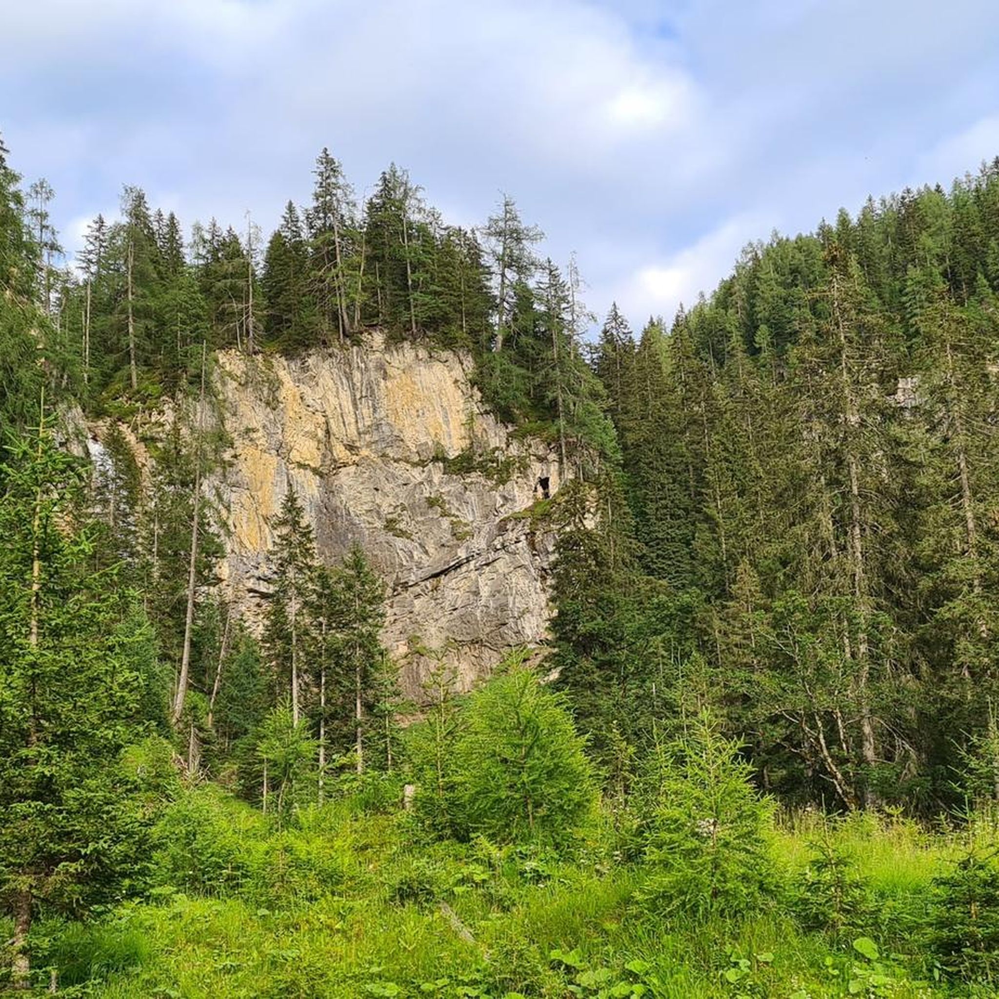
Hiking around Untertauern offers diverse landscapes within the Radstädter Tauern Mountain region of Salzburger Land, Austria. The area is characterized by picturesque alpine meadows, serene mountain tarns, and majestic high peaks, providing panoramic views. Natural features include the impressive Johannes Waterfall and the scenic Taurach gorge, alongside tranquil lakes like the Wildsee. This alpine environment provides a variety of terrain for hikers.
Best hiking trails around Untertauern
- The most popular hiking route is Alles Alm hike, a 2.8 miles (4.6 km) trail that takes 1 hour 17 minutes to complete. This moderate route explores the Gnadenalm area, known for its varied paths.
- Another top favourite among local hikers is From the Gnadenalm to the Tauernkaralm, a moderate 5.8 miles (9.4 km) path. This trail connects two alpine areas, offering views of the surrounding mountains.
- Local hikers also love the Seekarscharte – View of the Kalkspitzen Peaks loop from Radstädter Tauern, an 8.1 miles (13.0 km) trail leading through high alpine terrain, often completed in about 6 hours 10 minutes.
- Hiking around Untertauern is defined by alpine meadows, mountain tarns, and high peaks. The network offers options for various ability levels, from easy paths to challenging alpine routes.
- The routes in Untertauern are highly rated by the komoot community with an average score of 4.6 stars from more than 1,900 reviews. More than 10,000 hikers have used komoot to explore Untertauern's varied terrain.
Last updated: May 16, 2026
4.8
(79)
381
hikers
4.59km
01:17
60m
60m
Moderate hike. Great for any fitness level. Mostly accessible paths. Sure-footedness required.
4.8
(603)
2,722
hikers
7.85km
02:18
180m
180m
Moderate hike. Good fitness required. Mostly accessible paths. Sure-footedness required.

Sign up for free
4.9
(56)
316
hikers
9.39km
02:56
370m
370m
Moderate hike. Good fitness required. Easily-accessible paths. Suitable for all skill levels.
4.9
(157)
768
hikers
13.0km
06:10
910m
910m
Hard hike. Very good fitness required. Mostly accessible paths. Sure-footedness required.
4.9
(102)
414
hikers
11.3km
04:21
530m
520m
Hard hike. Good fitness required. Sure-footedness, sturdy shoes and alpine experience required.
Get access to more routes and recommendations from other explorers.
Sign up for free
Already have an account?
Our route recommendations are based on thousands of hikes, rides, and runs completed by other people on komoot.
Start today with a free account
Your next adventure awaits.
Login or Signup
Popular around Untertauern

Central Alps Trail Eastern Section – Discover Austria
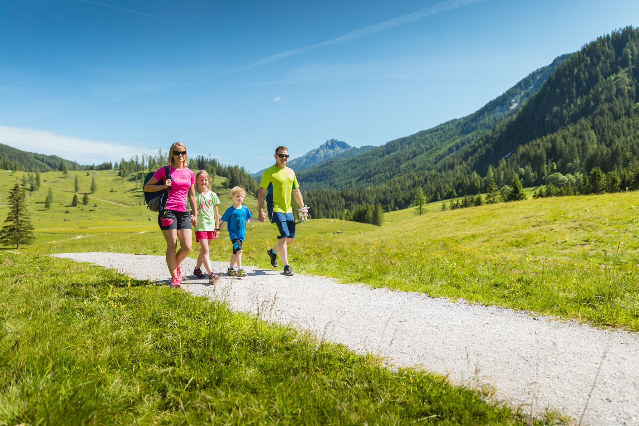
Our next hiking holiday in Radstadt - Easy tours for big and small
The most beautiful tours in Salzburger Land
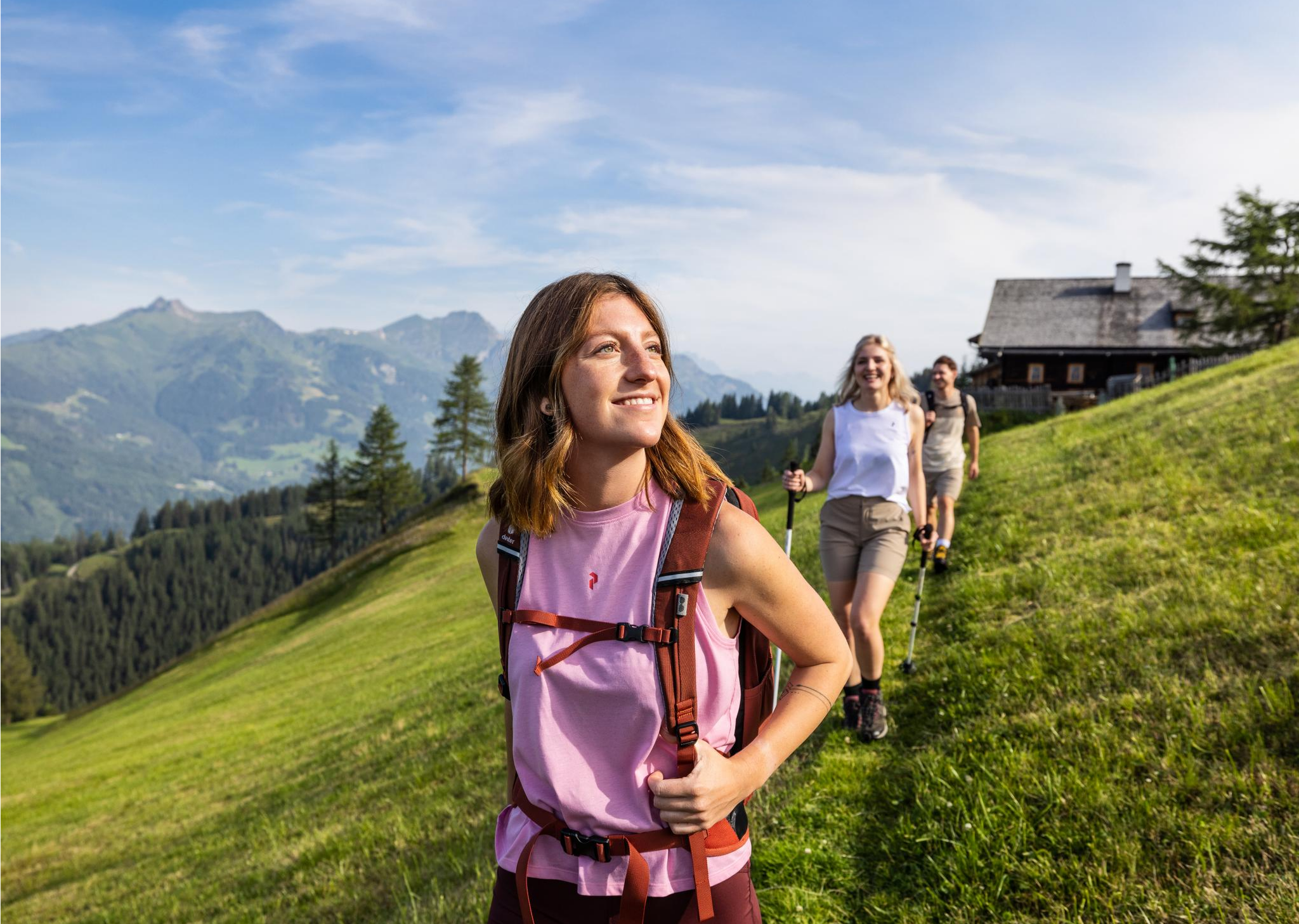
Salzburg’s most beautiful sides – 25 stages on the Salzburger Almenweg
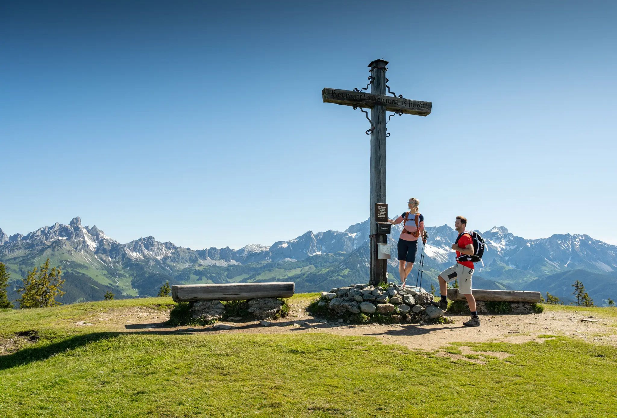
From Radstadt discover the Salzburger Almenweg
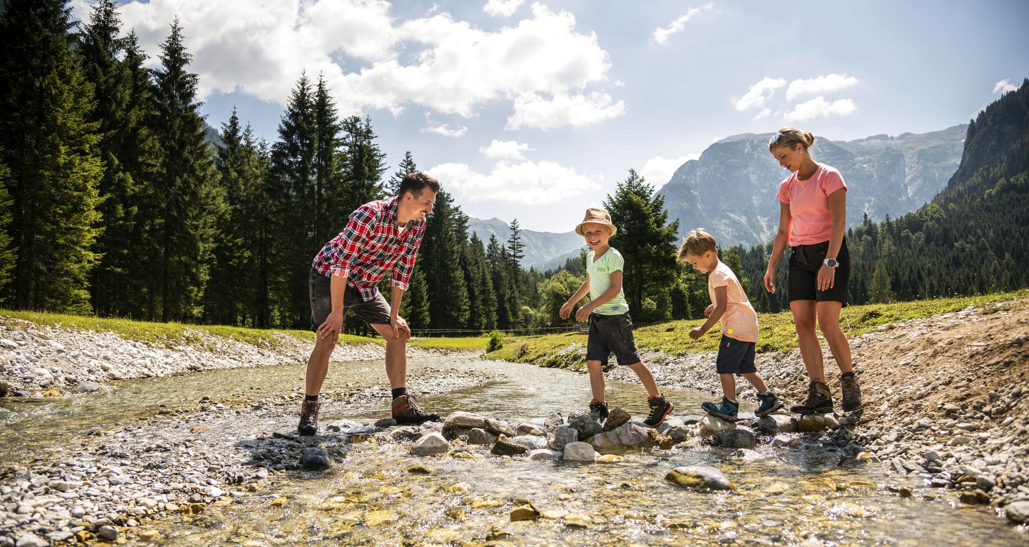
Mountains of Fun - Hiking with kids in the Flachau
Road Cycling Routes around Untertauern
MTB Trails around Untertauern
Gravel biking around Untertauern
Cycling around Untertauern
Other adventures around Untertauern


Tips from the Community

Hello, Tauernkarsee is a mountain lake and also a forest lake. It is nestled between dense forests and high mountains. You can easily reach this beautiful mountain lake by bike. From the lake, you can also go to the Tauernkar Alm and have a snack. Unfortunately, I was unlucky that day. They were closed for a holiday. Tauernkarsee is, in my opinion, one of the most beautiful mountain lakes. You can also go for a lovely hike, of course. It's definitely worth it. Best, Matthias
0
0

Rustic alpine hut with a wide selection of food and drinks.
1
0

Südwiener Hütte closed since September 2024: https://www.alpenverein.at/suedwienerhuette/
2
0

Great quiet walk with an awesome waterfall at the end
0
0

The coffee break with yogurt and buttermilk from the farm was delicious. There's also cheese to take home! :-)
0
0


Always busy, starting point for great hikes and great runs
4
0

In winter you can walk at railing height here... it's OK to have that much snow here
4
0
Frequently Asked Questions
How many hiking trails are available in Untertauern?
Untertauern offers a wide selection of hiking routes, with over 110 trails available for exploration. These range from easy walks to challenging alpine routes, catering to various fitness levels.
What types of landscapes can I expect to see while hiking in Untertauern?
Hikers in Untertauern will experience diverse alpine landscapes, including picturesque alpine meadows, serene mountain tarns (lakes), and majestic high peaks. The region also features impressive natural attractions like the Johannes Waterfall and the scenic Taurach gorge.
Are there any family-friendly hiking options in Untertauern?
Yes, Untertauern offers several family-friendly trails. The Alles Alm hike in the Gnadenalm area is particularly suitable, known for its varied paths and rustic refreshment stops, making it ideal for outings with children.
Where can I find impressive views or panoramic vistas?
For breathtaking panoramic views, consider routes that lead to higher elevations. The Seekarscharte – View of the Kalkspitzen Peaks loop from Radstädter Tauern offers rewarding vistas of the Kalkspitzen Peaks and extends to the Dachstein and Glockner peaks.
Are there any circular hiking routes in the area?
Yes, Untertauern features several circular hikes. Options like the 'Hundsfeldsee to Seekarspitze to Krumschnabelsee' and the '4 lakes hike' provide diverse scenery and moderate challenges. The 'Hirschwandsteig' is another recommended circular route.
What is the best time of year to go hiking in Untertauern?
The best times for hiking in Untertauern are during the summer months, when temperatures are mild and nature is in full bloom, and in autumn, which offers vibrant foliage and clear mountain views.
Are there any waterfalls I can hike to?
Absolutely! The impressive Johannes Waterfall is a significant natural highlight. You can reach it via several hiking loops, such as the Johannes Waterfall – Johannes Waterfall loop from Scheckkopf or the Johannes Waterfall – Johannes Waterfall loop from Matthiaskoppen.
Can I find places to eat or stay overnight along the trails?
Yes, hikers can find refuge and refreshment at various mountain huts and chalets. Notable options include the Gnadenalm, the Südwiener Hut, idyllically situated amidst alpine meadows, and the Ignaz-Mattis Hut near the Giglach lakes.
What do other hikers say about the trails in Untertauern?
The routes in Untertauern are highly rated by the komoot community, with an average score of 4.6 stars from over 1,900 reviews. Hikers often praise the diverse terrain, well-marked paths, and the stunning alpine scenery.
Are there any interesting historical sites or landmarks nearby?
Beyond the natural beauty, you can explore historical sites and landmarks. Highlights include Höch Castle, Hexenturm Radstadt, and the Lerchen Castle Museum, offering a glimpse into the region's past.
Are there any easy or beginner-friendly hiking routes?
Yes, Untertauern offers 18 easy hiking routes perfect for beginners or those seeking a relaxed walk. These paths typically feature gentle inclines and well-maintained surfaces, allowing everyone to enjoy the beautiful surroundings.
What kind of wildlife can I expect to see?
The region is known for its untouched nature, providing opportunities for wildlife spotting. Additionally, the 11-hectare Wildlife and Leisure Park features wild animals in open enclosures, offering a dedicated experience to observe local fauna.
Are there any lakes or tarns to visit on a hike?
Yes, the region is dotted with serene mountain tarns and lakes. The Wildsee is a tranquil lake offering beautiful scenery, and the '4 lakes hike' is a popular option for exploring multiple water bodies in one go.
Most popular routes around Untertauern
Most popular attractions around Untertauern

Get inspired with the komoot mobile app


Explore more
Browse the best Hikes in other regions.
