The best running trails around High Littleton
4.6
(76)
4,083
runners
352
runs
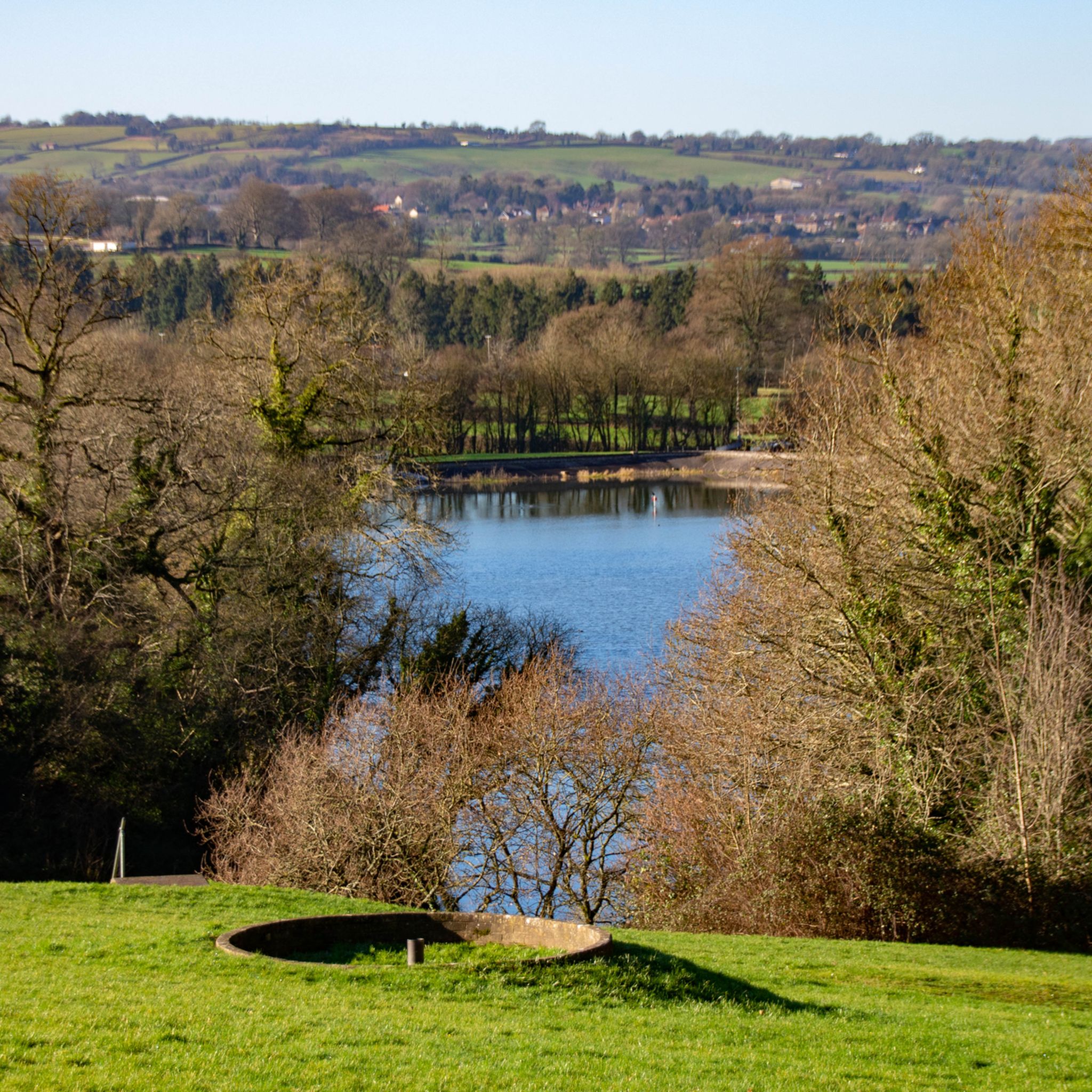
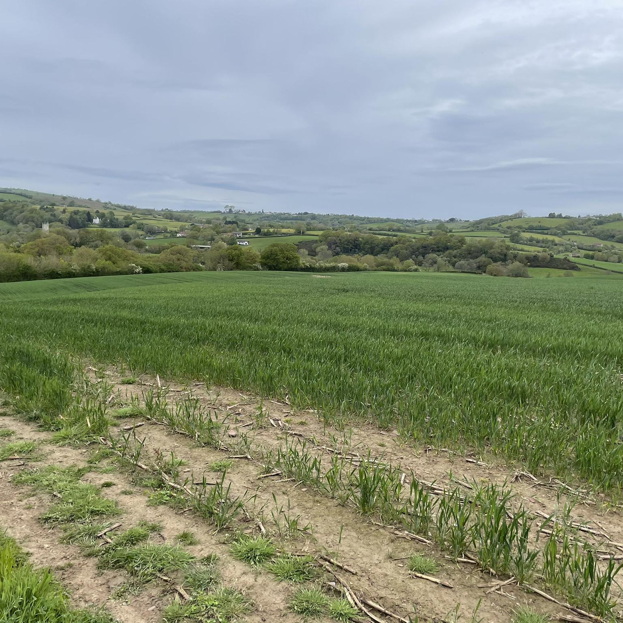
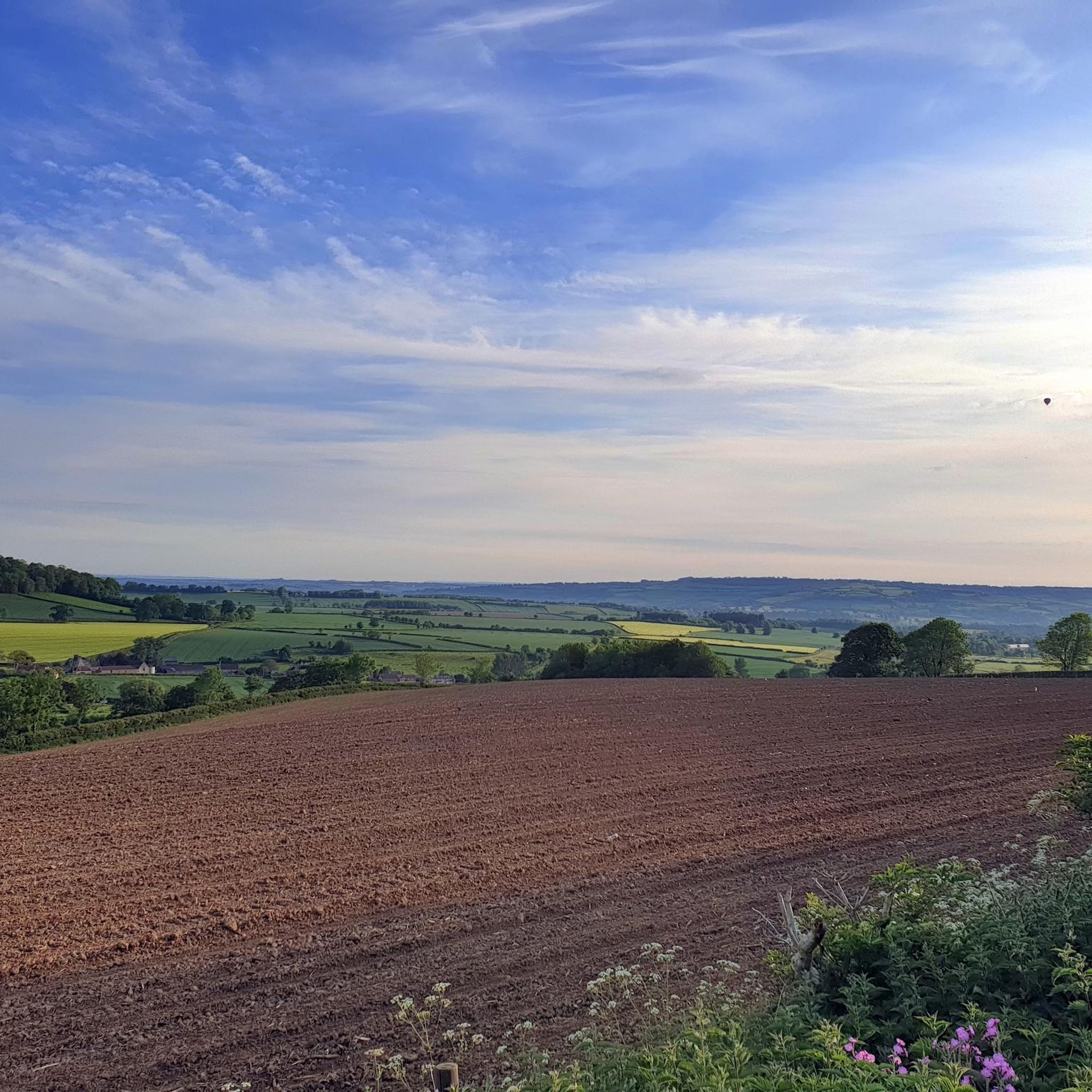
Jogging routes around High Littleton traverse a landscape characterized by rolling countryside, expansive meadows, and significant woodlands like Greyfield Wood. The area features varied terrain, including natural paths and some paved surfaces, suitable for different running preferences. The small Cam Brook river winds through the valley, adding to the scenic environment, while the village itself is situated on high ground offering views over the valley. This diverse setting provides a refreshing escape for active exploration.
Best jogging routes around High…
Last updated: May 14, 2026
48
runners
11.8km
01:14
120m
120m
Moderate run. Good fitness required. Mostly paved surfaces. Suitable for all skill levels.
27
runners
32.3km
03:24
250m
250m
Hard run. Very good fitness required. Mostly paved surfaces. Suitable for all skill levels.

Sign up for free
13
runners
12.2km
01:19
90m
90m
Moderate run. Good fitness required. Mostly paved surfaces. Suitable for all skill levels.
8
runners
5.60km
00:36
70m
70m
Moderate run. Good fitness required. Mostly paved surfaces. Suitable for all skill levels.
9
runners
7.86km
00:50
80m
80m
Moderate run. Good fitness required. Mostly paved surfaces. Suitable for all skill levels.
Get access to more routes and recommendations from other explorers.
Sign up for free
Already have an account?
Our route recommendations are based on thousands of hikes, rides, and runs completed by other people on komoot.
Start today with a free account
Your next adventure awaits.
Login or Signup
Tips from the Community

The last of the pits in the North Somerset Coalfield closed in 1973. The former Kilmersdon Pit Wheel is a memorial to the miners who worked them.
0
0

Some muddy bits but mostly classy, beautiful track
0
0

Ignore suggestions that you can 'open up' along this cycleway! It is well used by riders with young children, disabled people on buggies (especially towards the Radstock end), occasional horseriders as well as pedestrians with or without dogs. The southern half from Hatchet Hill to Great Elm is quieter, but watch out for encroaching stinging nettles in late summer!
0
0

Bike shop open Mon, Tue, Thur and Fri 9:00 - 17:00. Wed 9:00 - 12:00 and Sat 9:00 - 15:00. Sun closed. Riverbank café open Mon and Tue 9:00 - 16:00. Wed and Thur 9:00 - 17:00. Fri 9:00 - 21:00. Sat 10:00 - 21:00. Sun 12:00 - 20:30.
0
0

Really nice gravel tracks, starting out as double track eventually leading into the woods
0
0
Can verify the above! A fantastic stretch of gravel
0
0

Fancy a pitstop break. Grab a 6" sub and a coffee before 11am for £2.99. From the outset, Great service from the staff Sun 09:00-17:00
0
0

Beautiful gravel tracks through large open forested area.
0
0
Frequently Asked Questions
How many running routes are available around High Littleton, and what are their difficulty levels?
High Littleton offers a wide selection of running routes, with over 360 trails available. These cater to various fitness levels, including approximately 40 easy routes, nearly 290 moderate routes, and around 30 more challenging options for experienced runners.
What kind of terrain can I expect on the running trails around High Littleton?
The running trails around High Littleton feature a diverse landscape. You'll encounter rolling countryside, expansive meadows, and significant woodlands like Greyfield Wood and Stephen's Wood. The terrain includes natural paths, and some routes also incorporate paved surfaces, offering variety for different running preferences. The Cam Brook river valley adds to the scenic environment.
Are there family-friendly jogging routes in High Littleton?
Yes, High Littleton offers several family-friendly jogging routes. The area's generally gentle terrain and numerous easy trails are suitable for families looking for a pleasant run or walk together. Look for routes marked as 'easy' for the most suitable options.
Can I bring my dog on the running trails around High Littleton?
Many of the public footpaths and trails around High Littleton are suitable for dogs. It's generally expected that dogs are kept under control, especially near livestock, and that owners clean up after their pets. Always check local signage for any specific restrictions on individual routes.
Are there any waterfalls or notable natural features to see while running in the area?
Yes, the woodlands surrounding High Littleton are home to some beautiful natural features. You might discover the Greyfield Wood Waterfall and Stephen's Vale Waterfall, offering picturesque spots along your run. The Cam Brook river also winds through the area, adding a soothing element to many routes.
What do other runners enjoy most about jogging in High Littleton?
The running routes in High Littleton are highly rated by the komoot community, with an average score of 4.5 stars from over 75 reviews. Runners often praise the varied terrain, the peaceful woodlands, and the scenic views over the Cam Valley. Over 4000 runners have used komoot to explore this area, highlighting its popularity.
Are there any circular running routes available?
Many of the running routes around High Littleton are designed as circular loops, allowing you to start and finish at the same point without retracing your steps. For example, the View of Clutton loop from High Littleton is a moderate 6.1 km option that starts and ends in the village.
Are there any interesting landmarks or viewpoints along the running routes?
Beyond the natural beauty, you can find interesting landmarks and viewpoints. The village itself is situated on high ground, offering views over the Cam Valley. Nearby attractions include the historic Pensford Viaduct and the ancient Stanton Drew Stone Circles and Cove, which are accessible from some of the wider trail networks.
What is a good running route for someone looking for a moderate challenge?
For a moderate challenge, consider the Radstock Pit Wheel – Bike It Radstock loop from Paulton. This 11.8 km (7.3 miles) trail typically takes about 1 hour and 15 minutes to complete and offers a good mix of terrain through the local area.
Are there any long-distance running options for experienced runners?
Yes, for experienced runners seeking a longer challenge, the Bike It Radstock loop from Farrington Gurney is an excellent choice. This difficult 32.3 km (20.1 miles) path provides an extended running experience through varied landscapes, including sections that are well-maintained.
What kind of surfaces can I expect on the trails?
The trails around High Littleton offer a mix of surfaces. You'll find natural earth paths through woodlands and meadows, as well as some routes with mostly paved sections. For example, the Smooth Gravel Track loop from Farrington Gurney is known for its consistent gravel surface, ideal for a steady run.
Is there information available about running routes in the wider Somerset region?
Yes, for those interested in exploring beyond High Littleton, Somerset County Council provides information on running routes across the wider region. You can find more details and resources on their website: somerset.gov.uk/running-routes.
Most popular routes around High Littleton
Most popular attractions around High Littleton

Get inspired with the komoot mobile app


Explore more
Browse the best Running Trails & Routes in other regions.
