The best walks and hikes around High Littleton
4.5
(1216)
7,170
hikers
416
hikes
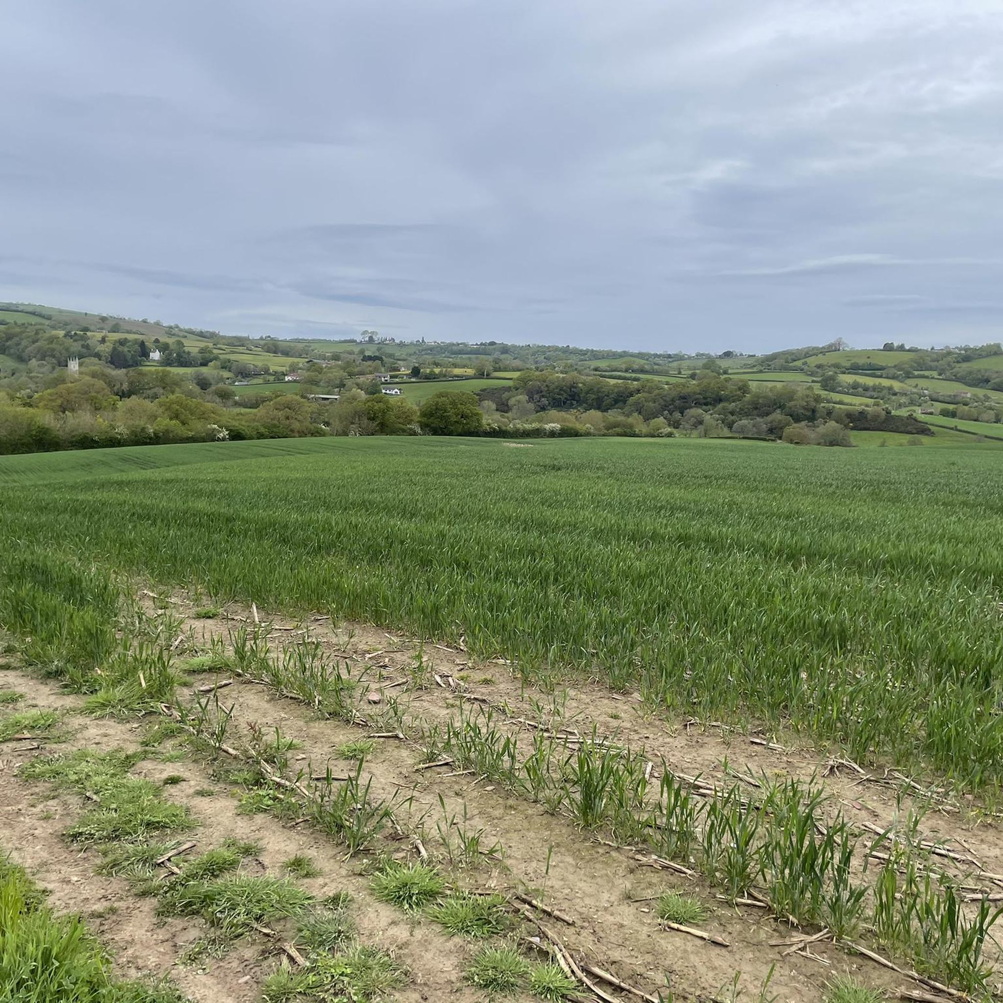
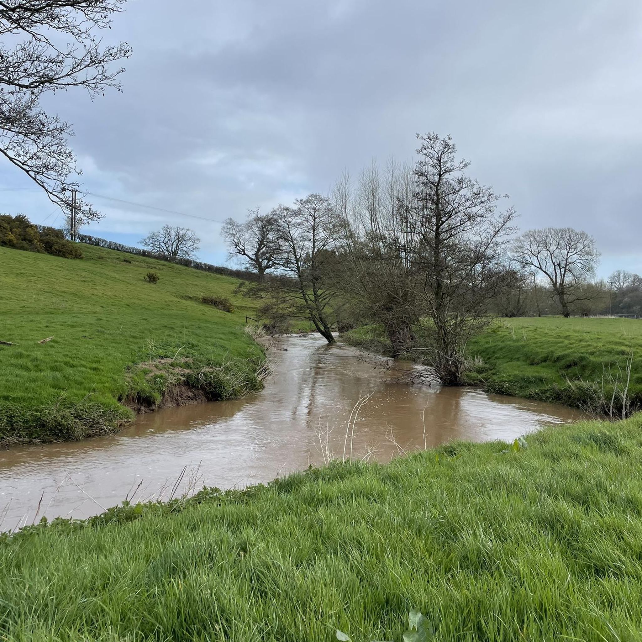
Hiking around High Littleton offers diverse landscapes characterized by expansive meadows, pockets of woodland, and the winding Cam Brook. The area features natural attractions such as Greyfield Wood Waterfall, providing scenic backdrops for walkers. Trails meander through sun-dappled forests and open grasslands, with unspoiled areas sheltered beneath the slopes of the Mendip Hills. This region provides a mix of terrain suitable for various hiking preferences.
Best hiking trails around High Littleton
- The most popular hiking route is Greyfield Wood Waterfall…
Last updated: June 26, 2026
4.5
(12)
28
hikers
9.66km
02:36
120m
120m
Moderate hike. Good fitness required. Easily-accessible paths. Suitable for all skill levels.
14
hikers
Easy hike. Great for any fitness level. Easily-accessible paths. Suitable for all skill levels.

Sign up for free
5.0
(1)
6
hikers
7.08km
01:54
80m
80m
Easy hike. Great for any fitness level. Easily-accessible paths. Suitable for all skill levels.
5.0
(1)
12
hikers
5.91km
01:34
60m
60m
Easy hike. Great for any fitness level. Easily-accessible paths. Suitable for all skill levels.
3.0
(1)
9
hikers
4.29km
01:08
40m
40m
Easy hike. Great for any fitness level. Easily-accessible paths. Suitable for all skill levels.
Get access to more routes and recommendations from other explorers.
Sign up for free
Already have an account?
Our route recommendations are based on thousands of hikes, rides, and runs completed by other people on komoot.
Start today with a free account
Your next adventure awaits.
Login or Signup
Tips from the Community

Still there in December 2025, unpainted and almost invisible before you hit it. . Very solid and would likely be dangerous if you didn’t know it was there. Grateful to have been warned beforhand- thanks @cordeliahughes
0
0
We walked this route in June 2025 and there was so much vegetation near the waterfall and further along the route that we had to improvise the route. Otherwise it is a beautiful route with a lot of variety.
0
0
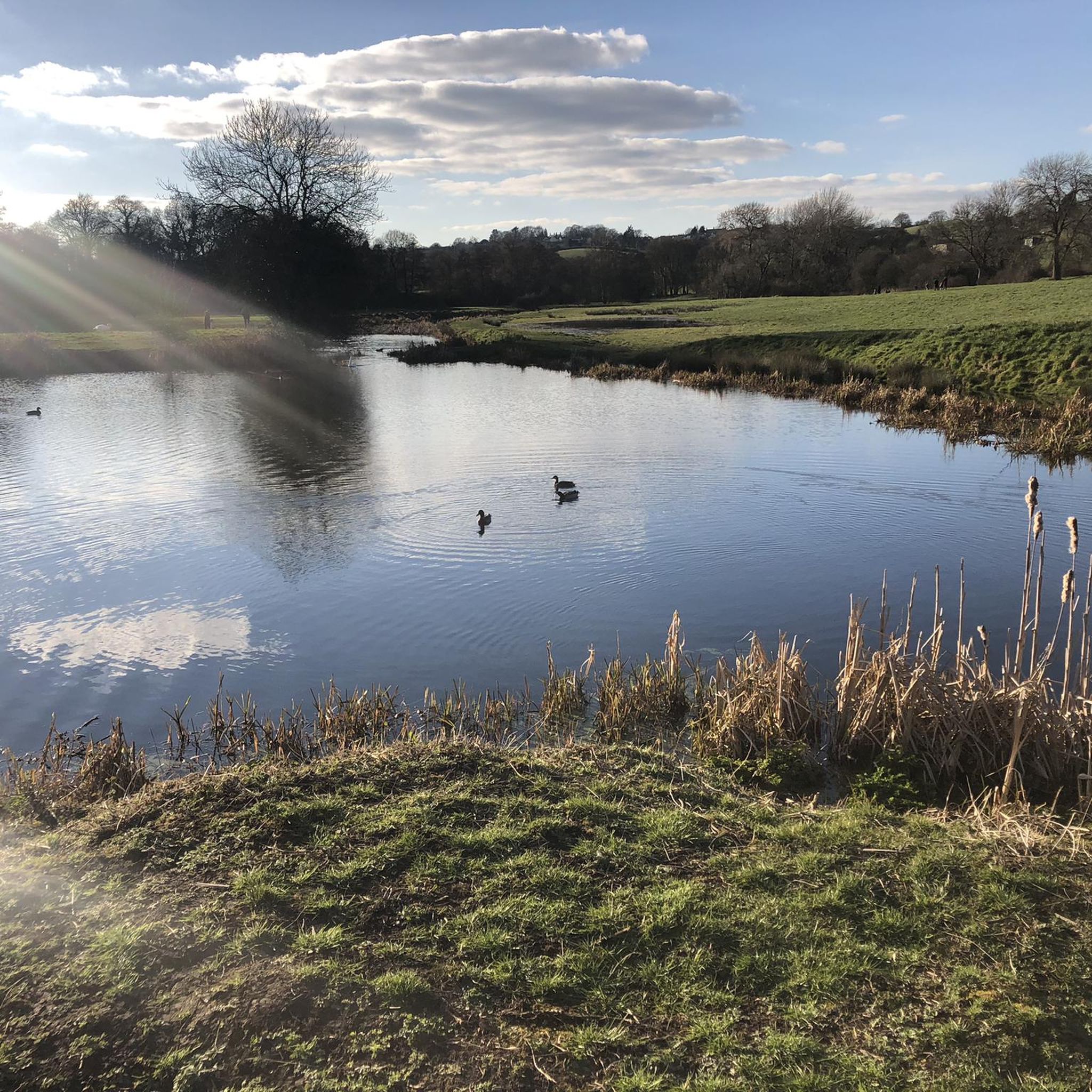
Timsbury basin is one of the remnants of the old Somerset Coal Canal. This is where the canal began, flowing from here down to the Kennet and Avon canal near Bath. The canal isn't complete, but you can trace the route starting with these ponds.
1
0

Stunning waterfall tumbling down a rocky cleft in the woods with pools for paddling.
0
0

Massive bump on a private road going downhill. My friend came off and we ended up having to call an ambulance and he has fractured his back. Avoid at all costs, it's v. easy to miss. (we have reported it/ asked a neighbour to paint it!)
3
0

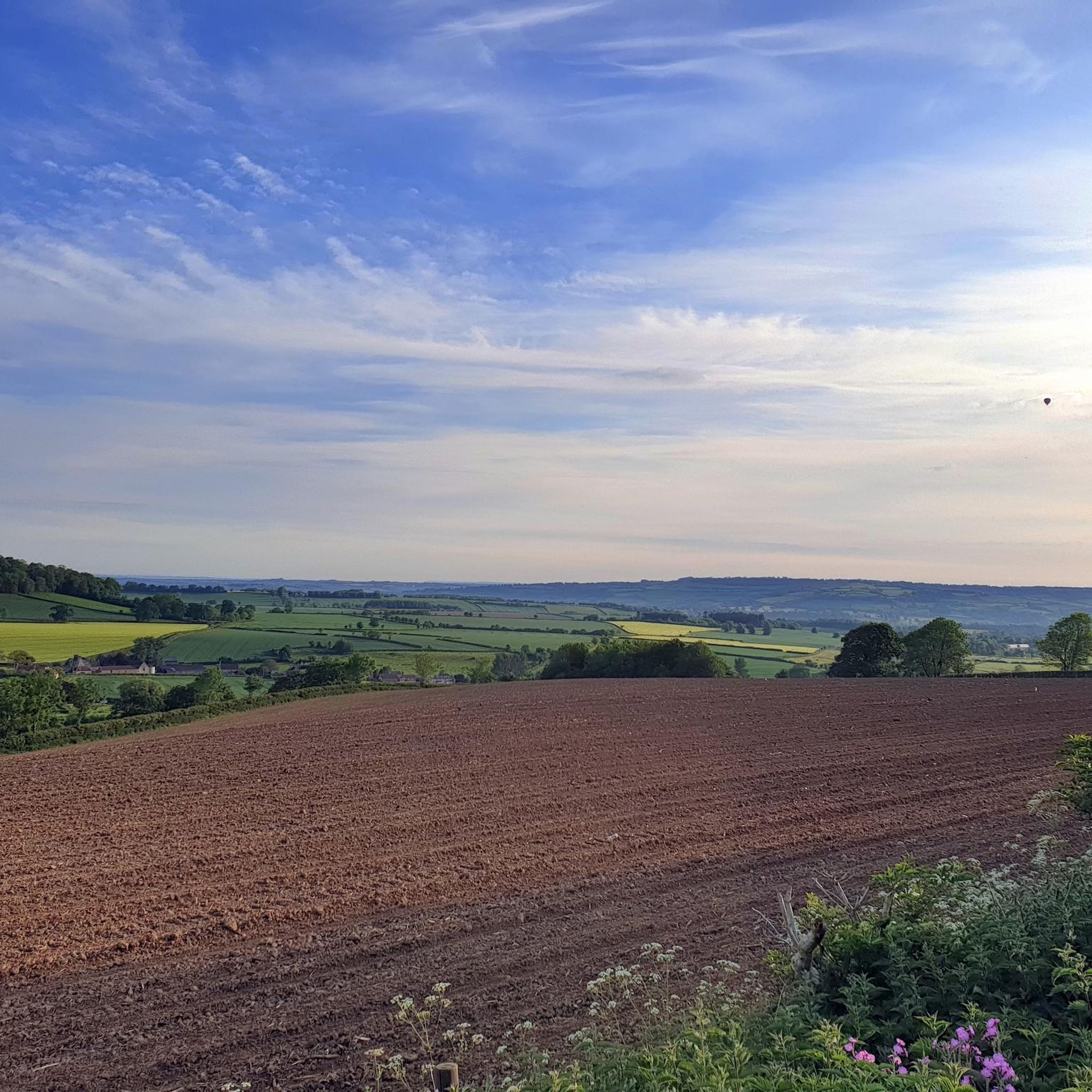
Quiet road with great views. If you carry on a bit further you can see the Severn Bridge on a clear day.
0
0
A waterfall in a wood. Footpaths and kissing gates so be nice.
0
0
Frequently Asked Questions
Are there any waterfalls to see on hikes around High Littleton?
Yes, High Littleton is home to beautiful waterfalls. You can visit Greyfield Wood Waterfall on the Greyfield Wood Waterfall – Timsbury Basin loop from High Littleton. Another option is the Greyfield Wood Waterfall – Stephen's Vale Waterfall loop from High Littleton, which connects both Greyfield Wood and Stephen's Vale Waterfalls.
How many hiking trails are available in the High Littleton area?
There are over 400 hiking trails around High Littleton, offering a wide variety of options for different preferences and fitness levels. This includes over 200 easy routes and nearly 200 moderate trails.
What kind of landscapes can I expect to see while hiking near High Littleton?
Hiking around High Littleton offers diverse landscapes, including expansive meadows, sun-dappled woodlands, and open grasslands. The Cam Brook winds through the area, adding a soothing element to walks, and many trails provide views towards the unspoiled areas sheltered beneath the slopes of the Mendip Hills.
Are there any family-friendly hiking routes in High Littleton?
Absolutely. Many trails in High Littleton are suitable for families. An easy and popular option is the Greyfield Wood Waterfall – Stephen's Vale Waterfall loop from High Littleton, which is 2.7 miles (4.3 km) long and offers a gentle experience through woodlands and past two waterfalls.
Can I find circular hiking routes in High Littleton?
Yes, High Littleton features several circular hiking routes. For example, the Greyfield Wood Waterfall – Timsbury Basin loop from High Littleton is a moderate 6.0-mile (9.7 km) loop, and the Blackberry Hill – View of Clutton loop from Clutton offers a 4.4-mile (7.1 km) easy walk through open fields.
What do other hikers enjoy most about the trails in High Littleton?
The trails in High Littleton are highly rated by the komoot community, with an average score of 4.5 stars from over 1000 reviews. Hikers often praise the varied scenery, from quiet woodlands to open meadows, and the presence of natural features like waterfalls and the Cam Brook.
Are there any interesting landmarks or attractions near the hiking trails?
Beyond the natural beauty, you can explore several attractions nearby. Consider visiting Chew Valley Lake, a significant viewpoint and lake, or the historic Pensford Viaduct. There are also various cycle paths like The Two Tunnels Greenway and Bristol and Bath Railway Path in the wider region.
What is the typical difficulty level of hikes around High Littleton?
High Littleton offers a good mix of difficulty levels. You'll find over 200 easy routes, perfect for a relaxed stroll, and nearly 200 moderate trails for those seeking a bit more challenge. Only a small number of routes are classified as difficult, ensuring options for most abilities.
Are there any trails that offer views of the surrounding countryside?
Yes, many trails provide scenic views. The Blackberry Hill – View of Clutton loop from Clutton, for instance, leads through open fields with expansive views towards Clutton. The region's mix of woodlands and open fields often provides picturesque vistas of the surrounding Mendip Hills area.
What are some natural features I might encounter on a hike in High Littleton?
You'll encounter a variety of natural features, including the gentle flow of the Cam Brook, the serene Greyfield Wood Waterfall, and the diverse flora and fauna within the woodlands and expansive meadows. The area is also characterized by unspoiled landscapes sheltered by the Mendip Hills.
Are there any easy, shorter hikes available?
Yes, for an easy and shorter experience, consider the Old Railway Line – View of Wheat Fields loop from Ston Easton. This route is about 2.7 miles (4.4 km) long and offers a gentle walk. Another easy option is the Greyfield Wood Waterfall – Stephen's Vale Waterfall loop from High Littleton, which is also around 2.7 miles (4.3 km).
Most popular routes around High Littleton
Most popular attractions around High Littleton

Get inspired with the komoot mobile app


Explore more
Browse the best Hikes in other regions.
