The best running trails around Steyning
4.6
(13)
870
runners
27
runs
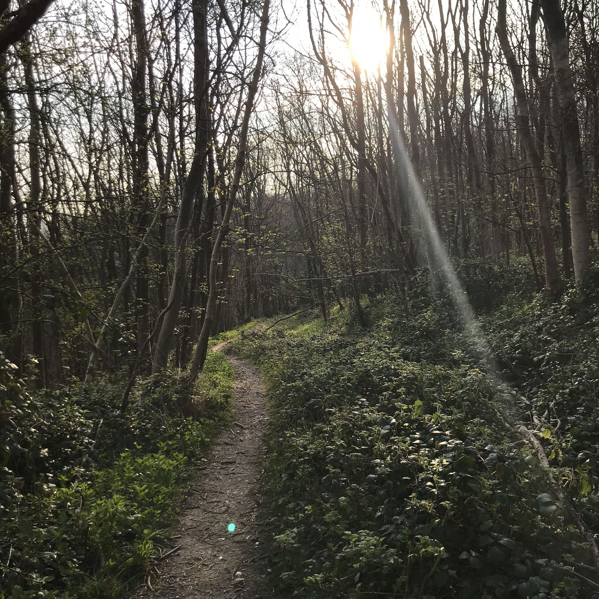
Jogging around Steyning offers access to diverse terrain at the foot of the South Downs National Park. The region features extensive networks of trails through chalk valleys, woodlands, and along the River Adur Valley. Runners can experience varied elevation gains, from gentle riverside paths to challenging climbs on the South Downs. Prominent hills like Chanctonbury Ring and Cissbury Ring provide elevated viewpoints across the countryside.
Best jogging routes around Steyning
- The most popular jogging route is Chanctonbury Ring hillfort –…
Last updated: November 1, 2026
5.0
(1)
137
runners
41.0km
04:52
780m
780m
Hard run. Very good fitness required. Mostly runnable paths. Some sure-footedness required.
4.5
(2)
216
runners
19.7km
02:05
50m
50m
Hard run. Very good fitness required. Mostly paved surfaces.

78
runners
21.4km
02:34
410m
410m
Hard run. Very good fitness required. Mostly paved surfaces.
55
runners
13.2km
01:31
70m
70m
Moderate run. Good fitness required. Mostly runnable paths. Some sure-footedness required.
56
runners
Hard run. Very good fitness required. Mostly runnable paths. Some sure-footedness required.
Get access to more routes and recommendations from other explorers.
Already have an account?
Our route recommendations are based on thousands of hikes, rides, and runs completed by other people on komoot.
Start today with a free account
Your next adventure awaits.
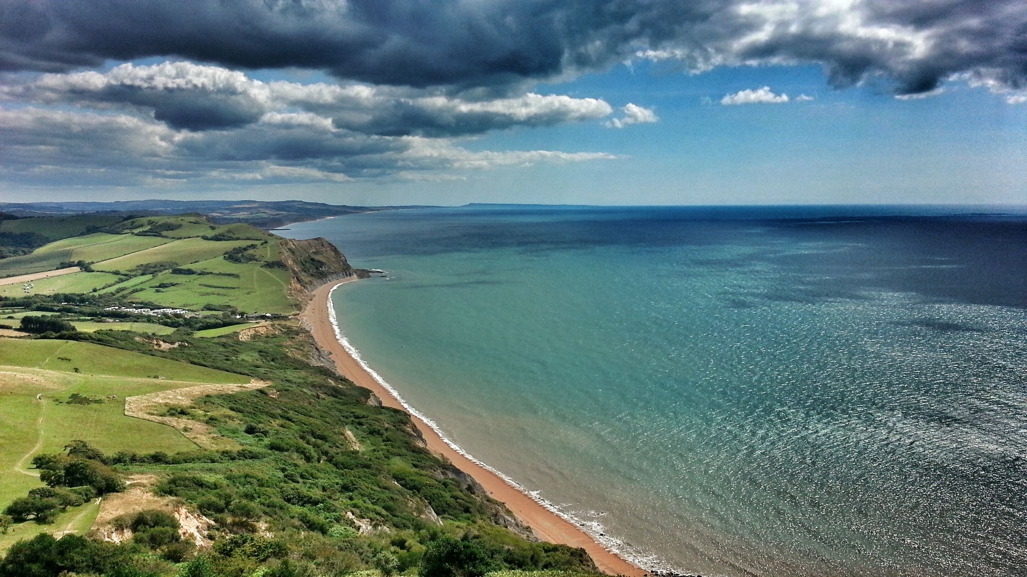
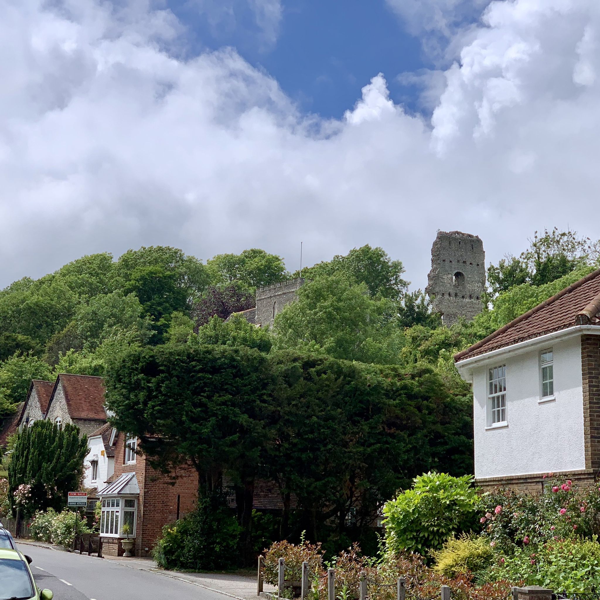
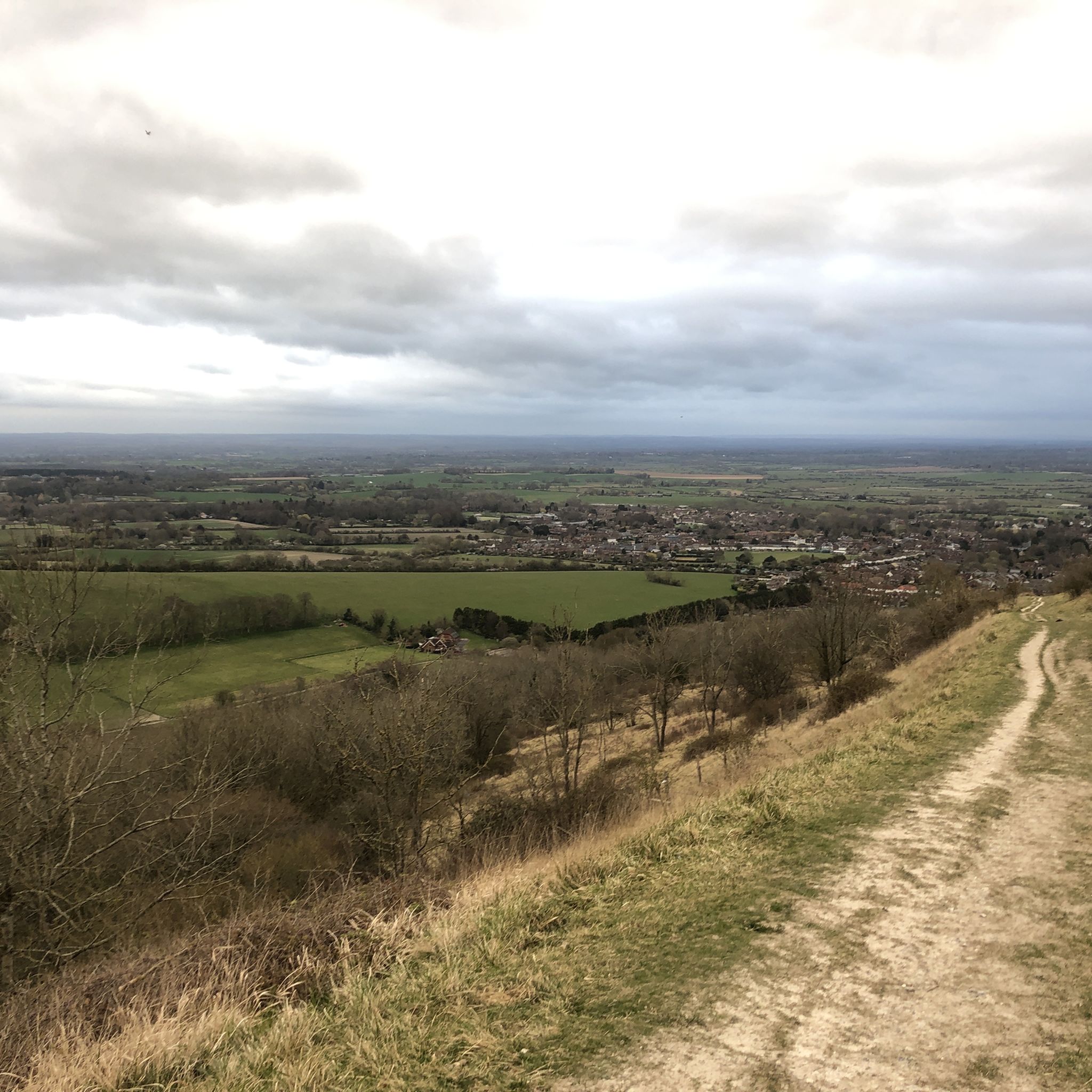
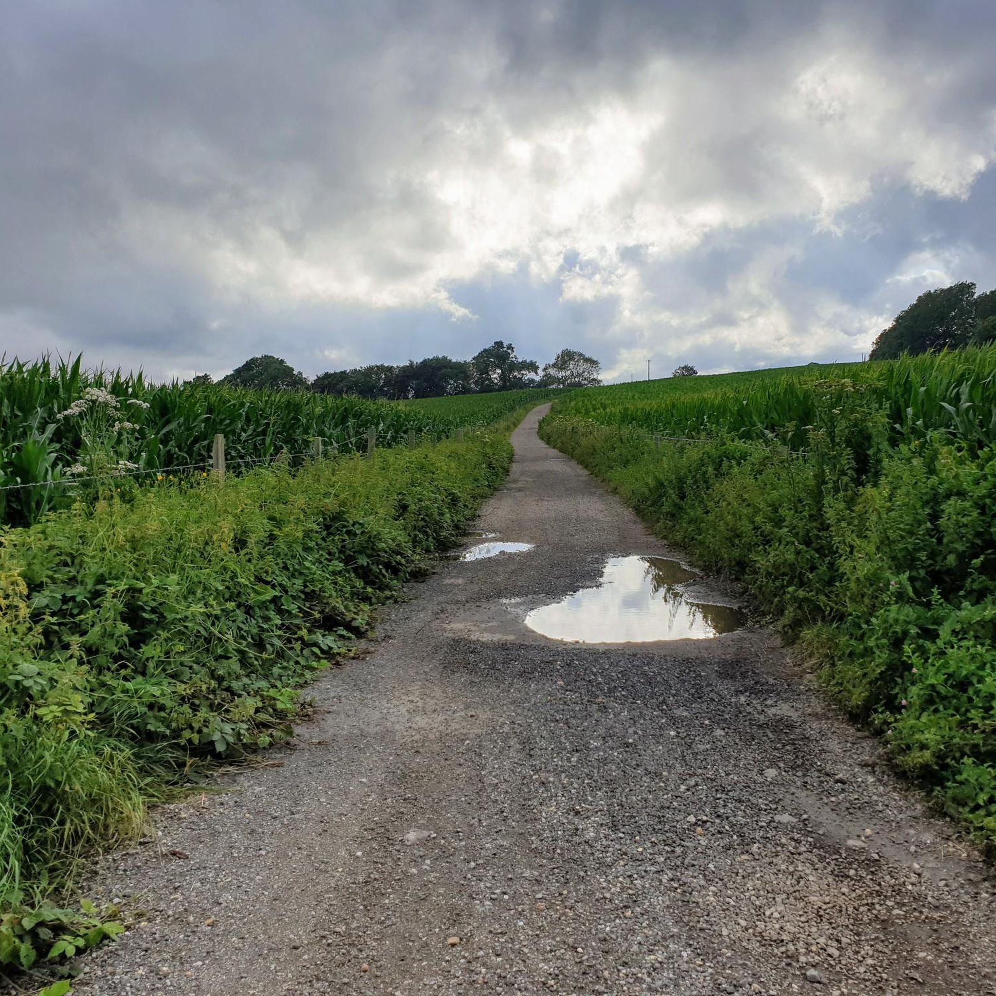

Other adventures around Steyning

Tips from the Community

This church surprised us with its beauty! The carved wooden panels behind the altar are a special feature. They probably come from the time of Henry VIII during his marriage to Catherine of Aragon. When she fell out of favor and Anne Boleyn came to court, these panels were probably an annoyance and were used here in the church.
1
0
The Adur river valley is a very scenic area!
1
0
An old wooden bridge that crosses the river and is now only used by cyclists and pedestrians. On the west side of the river, the large Lancing College can be seen.
1
0


Follow the trail around the ring for great views over Findon to Worthing
0
0
Good shelter all year round after demanding climb. please keep it clean and don't leave waste so the farmer keeps it open for everyone.
0
0
Frequently Asked Questions
How many running routes are available around Steyning?
There are over 25 running routes around Steyning, offering a diverse range of experiences. You'll find options for easy, moderate, and difficult runs, catering to various fitness levels.
What kind of terrain and difficulty can I expect on running trails near Steyning?
Running trails around Steyning offer diverse terrain, from gentle paths along the River Adur Valley to challenging climbs on the South Downs. You can expect dry chalk valleys, woodlands, and some steep ascents. Out of the 26 available routes, 2 are considered easy, 18 are moderate, and 6 are difficult, ensuring options for all abilities.
Are there any running routes in Steyning that offer panoramic views or pass by significant landmarks?
Absolutely! Many routes provide breathtaking views and pass by historical landmarks. For instance, the challenging View from Barnsfarm Hill loop from Steyning offers expansive vistas over the South Downs. You can also explore routes that take you past prominent features like Chanctonbury Ring hillfort and Cissbury Ring Hill Fort, both ancient hillforts with significant historical value and superb views.
Are there any circular running routes available from Steyning?
Yes, most of the running routes around Steyning are designed as loops, allowing you to start and finish in the same location. An example is the View of Spring Hill – O loop from Steyning, which is a moderate 8.2-mile (13.2 km) trail through varied landscapes.
What do other runners enjoy most about jogging in Steyning?
The running routes in Steyning are highly rated by the komoot community, with an average score of 4.6 stars from over 10 reviews. Runners often praise the diverse terrain, the stunning views across the South Downs and the River Adur Valley, and the variety of challenges available, from gentle riverside jogs to demanding hill climbs.
Are there any dog-friendly running trails near Steyning?
Many of the trails around Steyning, especially those within the South Downs National Park, are dog-friendly. However, it's always recommended to keep dogs under close control, particularly near livestock or in nature conservation areas. Be sure to check specific route details for any restrictions.
Can I find easy or beginner-friendly running routes in Steyning?
Yes, Steyning offers several easy running routes suitable for beginners or those looking for a gentler jog. These often follow the flatter sections of the River Adur Valley or through local fields like the Big Picnic Field. While specific easy routes are not highlighted here, komoot's route planner can help you find them.
Are there any challenging running trails for experienced runners near Steyning?
For experienced runners seeking a challenge, Steyning provides several difficult routes with significant elevation gains. The View of the Devil's Dyke – Jack and Jill Windmills loop from Steyning is a demanding 44.7-mile (72 km) trail that includes substantial climbs and passes by the unique V-shaped chalkland valley of Devil's Dyke.
What are the options for parking when accessing running trails in Steyning?
Steyning has various parking options, including public car parks within the town. Many trailheads on the outskirts of Steyning and within the South Downs National Park also offer designated parking areas. It's advisable to check local signage for any parking fees or restrictions before you go.
Are there any running routes that pass by pubs or cafes for a stop?
While specific routes with pub stops aren't detailed here, Steyning itself has a charming high street with pubs and cafes. Many trails lead directly into or close to the town, making it easy to incorporate a refreshment stop at the beginning or end of your run. Some routes on the wider South Downs might also pass through villages with amenities.
What natural attractions can I see along the running trails near Steyning?
Beyond the stunning views of the South Downs, you can encounter several natural attractions. The Devil's Dyke is a unique chalkland valley known for wildflowers and butterflies. You might also pass by areas like the Steyning Downland Scheme, a conservation project with chalk grassland and woodland, or the tranquil River Adur Valley.
Is public transport available to reach running trails around Steyning?
Steyning is accessible by public transport, primarily bus services connecting it to larger towns like Shoreham-by-Sea and Worthing, which have train stations. From the town center, many running trails are within easy reach on foot, allowing you to start your run directly from your arrival point.
Most popular routes around Steyning
Most popular attractions around Steyning

Get inspired with the komoot mobile app


Explore more
Browse the best Running Trails & Routes in other regions.
