The best road cycling routes around Fulking
4.5
(702)
18,568
riders
316
rides
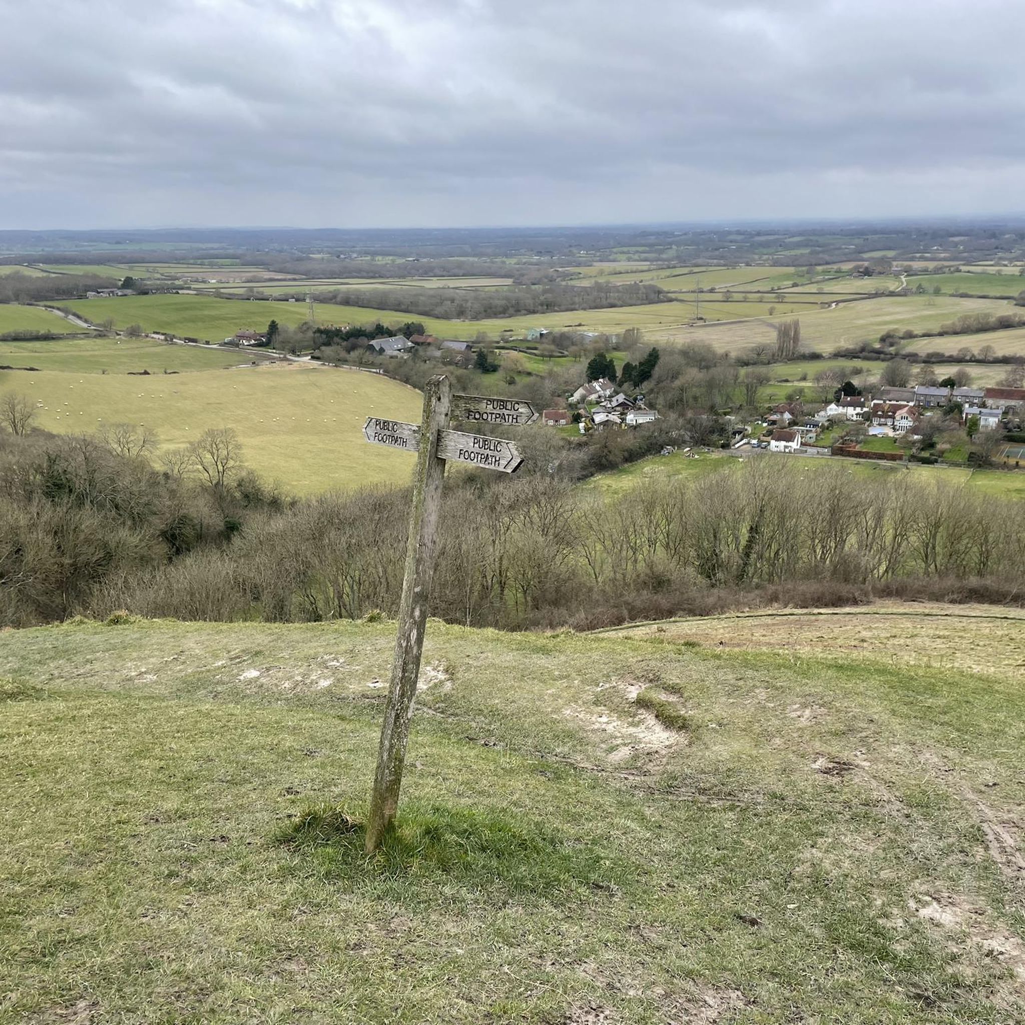
Road cycling routes around Fulking are situated within the South Downs National Park, characterized by distinctive chalk escarpments and rolling downland. The terrain offers a mix of challenging ascents and scenic routes across open landscapes. Cyclists can expect varied surfaces, including paved roads that traverse hills and provide access to notable features like Devil's Dyke. The region's geography supports diverse road cycling experiences, from coastal loops to inland climbs.
Best road cycling routes around Fulking
- The most popular road cycling…
Last updated: May 14, 2026
4.7
(12)
341
riders
78.2km
03:21
500m
500m
Moderate road ride. Good fitness required. Mostly well-paved surfaces and easy to ride.
4.7
(3)
212
riders
49.8km
02:06
320m
320m
Moderate road ride. Good fitness required. Mostly well-paved surfaces and easy to ride.

Sign up for free
4.5
(4)
204
riders
15.4km
00:39
40m
40m
Easy road ride. Great for any fitness level. Mostly well-paved surfaces and easy to ride.
5.0
(1)
155
riders
Easy road ride. Great for any fitness level. Mostly well-paved surfaces and easy to ride.
4.7
(3)
153
riders
Easy road ride. Great for any fitness level. Mostly well-paved surfaces and easy to ride.
Get access to more routes and recommendations from other explorers.
Sign up for free
Already have an account?
Our route recommendations are based on thousands of hikes, rides, and runs completed by other people on komoot.
Start today with a free account
Your next adventure awaits.
Login or Signup
Tips from the Community

Locals have a ‘near the bone’ nickname name for it.
0
0
Near Hove Lagoon, on the cycle path; a pump track for BMX and ATB bikes. A skate park adjacent.
1
0

Located by the seafront, it is a good and affordable local attraction. It is amazing, how as rising up the tower the views over Brighton can give you a different perspective on the town. Well worth it!
0
0

Smooth and flat but a lot of pedestrians, children and dogs at peak times
0
0

Very picturesque. Check out the view from the bridge.
0
0

Frequently Asked Questions
How many road cycling routes are available around Fulking?
There are over 330 road cycling routes available around Fulking on komoot, catering to various skill levels. This includes approximately 90 easy routes, nearly 200 moderate routes, and over 40 difficult routes for more experienced cyclists.
What kind of terrain can I expect when road cycling in Fulking?
Road cycling in Fulking, situated within the South Downs National Park, features distinctive chalk escarpments and rolling downland. You'll encounter a mix of challenging ascents and scenic routes across open landscapes, with many paved roads traversing hills and providing access to notable features like Devil's Dyke. The region offers diverse experiences, from coastal loops to inland climbs.
Are there any easy road cycling routes suitable for beginners or families?
Yes, Fulking offers several easy road cycling routes. One popular option is the Hove Lawns Promenade – Brighton Palace Pier loop from Fishersgate, an 8.7-mile (14.0 km) trail leading through coastal promenades. Another easy route is the Shoreham Wooden Bridge – Bramber Castle and High Street loop from Southwick, which covers about 27.9 km with moderate elevation.
What are some challenging climbs or routes for advanced road cyclists in the Fulking area?
The area around Fulking is known for its challenging climbs, particularly the ascents from the village up to the South Downs ridge, which are often short but steep. Routes like the View of Shoreham Estuary – Shoreham Wooden Bridge loop from Fishersgate, at 77.7 km with over 500 meters of elevation gain, offer a good test for advanced riders.
What natural landmarks or scenic viewpoints can I see along the road cycling routes?
Many routes offer stunning views of the chalk escarpments and rolling downland. You can cycle past iconic natural landmarks such as Devil's Dyke, the largest chalkland dry combe in Britain, or enjoy expansive vistas from Ditchling Beacon. The View of Shoreham Estuary – Shoreham Wooden Bridge loop also provides expansive views of the estuary.
Are there any historical sites or attractions to explore while cycling near Fulking?
Yes, the region is rich in history. Cyclists can pass by historical sites like Chanctonbury Ring hillfort or the iconic Jack and Jill Windmills. The village of Fulking itself has historical charm, with its ancient spring and traditional architecture. The View of Shoreham Estuary – Bramber Castle and High Street loop takes you past Bramber Castle.
What do other road cyclists enjoy most about road cycling in Fulking?
The road cycling routes around Fulking are highly rated by the komoot community, with an average score of 4.5 stars from over 680 reviews. Cyclists often praise the diverse terrain, from challenging climbs to scenic coastal paths, and the stunning views across the South Downs National Park and the coast.
Are there any circular road bike routes in the Fulking area?
Yes, many of the road cycling routes around Fulking are designed as loops, allowing you to start and finish in the same location. Examples include the Dragons Lane – View of the River Adur loop from Henfield and the Hove Lawns Promenade – Brighton Palace Pier loop from Fishersgate.
Can I find places to eat or drink along the cycling routes in Fulking?
The picturesque village of Fulking itself is home to the historic Shepherd & Dog pub, a popular spot for refreshments and a common starting or ending point for rides. Many routes will also pass through other villages or towns where you can find cafes and pubs to refuel.
What is the best time of year to go road cycling in Fulking?
The South Downs area, including Fulking, offers enjoyable cycling throughout much of the year. Spring and summer provide pleasant weather for exploring the open downland and coastal routes, with wildflowers in bloom. Autumn offers beautiful scenery with changing foliage. While winter can be colder, many paved routes remain accessible, though conditions on higher ground might require more caution.
Are there any routes that offer views of the coast or water bodies?
Absolutely. The region's proximity to the coast means several routes offer stunning coastal views. The View of Shoreham Estuary – Shoreham Wooden Bridge loop from Fishersgate provides expansive views of the Shoreham Estuary. You can also find routes that pass by Widewater Lagoon or Hove Lagoon, offering diverse waterside scenery.
Most popular attractions around Fulking

Get inspired with the komoot mobile app


Explore more
Browse the best Road cycling routes in other regions.
